Chmelník: three summit bumps and a vanished lookout tower
A one-hour traverse over three competing summit bumps, with early hepatica, carved figures, a grave beside the picnic area and the story of a lookout tower lost after the 1914 landslide.
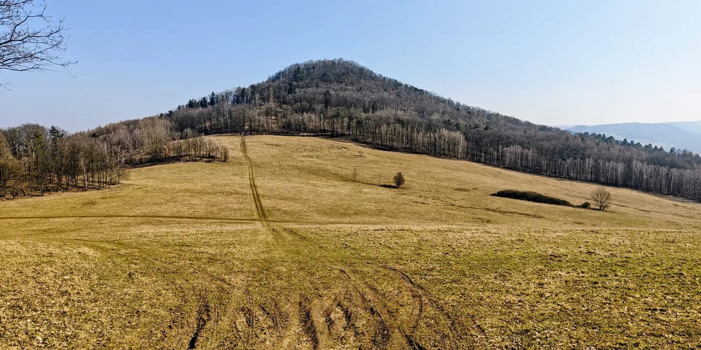
Chmelník managed to fit a summit argument, a grave, a picnic and a vanished lookout tower into 3.2 km. The hill looks compact on the map, but its wooded top spreads across several plausible bumps, and my GPS briefly preferred one that looked visibly lower. It was the second summit of the day, directly after Děčínský Sněžník, but the experience could hardly have been more different.
I started at 11:53 from the eastern side of the hill, at about 291 m. The route climbed quickly through leaf-covered deciduous woodland on forest tracks and paths. Early March had left most of the ground brown and the canopy bare, but spring was already appearing in small places.
A weathered carved figure stood beside the lower path, and farther up I found common hepatica (Hepatica nobilis) flowering through last year’s oak leaves. Neither mattered to the summit, which is precisely why I remember them.
The rounded forest hill also has a more violent geological history than its appearance suggests. The Czech Geological Survey describes Chmelník as the relic of a scoria cone, with traces of a former crater, volcanic bombs and basanite lava. The same landscape has been affected by major slope movement, including the destructive 1914 landslide that later became part of the hill’s human story as well.
Three bumps, one high point
Near the top, the navigation stopped being obvious. I crossed three plausible summit-area bumps: a lower northern rise, the central point that looked highest on the ground, and a western bump where my GPS briefly produced the highest reading despite the terrain looking visibly lower. It was a useful reminder that a phone or handheld receiver can participate in a summit discussion without being appointed chairman.
The central high point was the most convincing to me. It was also the strangest place on the ridge. A grave sits near the top, while beside it a Czech group of four had occupied a sunny picnic spot. The combination should have felt awkward, but somehow it did not. Chmelník seems to have been used as a local recreation hill for long enough that memorials, picnic furniture and summit markers have simply accumulated together.
Near the main summit area, openings through the trees gave views into the Elbe corridor, where the river, fields, villages and industrial buildings share the valley floor.
The lookout tower that disappeared
The summit was once much more formal. Local historical material records a 15 m wooden lookout tower, restaurant and beer garden opened here in 1895. The tower suffered repeated storm damage. Then, in 1914, a major landslide devastated the access paths; about a month later the tower and restaurant burned down and were never rebuilt.
That history explains something about the present hill. Chmelník no longer has a grand summit destination, but it still feels like a place shaped for local wandering. Carved wooden figures, benches, picnic sites and clearings appear through the forest, remnants of a recreational identity that outlived the tower.
I reached the central summit area at about 12:38 and continued west rather than returning to the eastern start. The descent dropped more steeply towards the saddle, where another picnic area had seating, a grill and one more carved figure built into the edge of a bench.
The track ended at 12:54 at the western saddle, where I continued directly towards Lotarův vrch. Chmelník was only a one-hour traverse, but it had accumulated an improbable amount of identity: early flowers, eccentric carvings, three competing summit bumps, a grave beside lunch, the Elbe below and a lookout tower that has been missing for more than a century.
Lotarův vrch: a cairned summit and a wooden dragon
Links & Resources
Peakbagger.io įrašas: Chmelník.
Czech Wikipedia entry covering the peak, its prominence, and the history of the lookout tower.
Official geological description of Chmelník as a relic scoria cone.
Dedicated site with approach routes, educational trail history, and GPS coordinates.
National tourism portal entry with profile and visitor information.
Regional tourism board page describing the cone, forest, educational trail and views.
Hiking portal page with description, viewpoints and embedded map.
Interactive tourist map centred on Chmelník showing the trail network.