From Wisconsin to Pikes Peak: 13 days from 12 centimetres to 4,302 metres
A 13-day road trip from Wisconsin to Colorado linked state high points, four Ultras, Yellowstone and Utah desert parks, from Michigan’s 12-centimetre summit dispute to a 4,302 m finish on Pikes Peak.
By the end of this trip, the scale had become almost comically elastic. Michigan's state-highpoint question came down to about 12 centimetres. Cloud Peak required 40.4 km and more than fifteen hours on foot. Pikes Peak reached 4,302 m, but the final ascent happened behind a steering wheel. Between those extremes came wildfire haze, prairie high points, Yellowstone bison, 40°C heat, bad forest-road shortcuts, thunderstorms and several national parks that were not always in the original plan.
The journey ran from Wisconsin through the Great Lakes and northern plains, west into Wyoming and Yellowstone, then south through Utah before finishing in Colorado. It was not held together by one perfectly tidy list. State high points, Ultra-prominence peaks and unusually isolated summits supplied the main peakbagging reasons to keep moving; the long road sections left room for lighthouses, geothermal basins, petroglyphs and desert geology. In retrospect, the detours became as important to the trip as some of the objectives.
Great Lakes objectives measured in kilometres and centimetres
The first summit, Blue Mounds, established the tone better than I could have planned. I was there mainly because of its 210 km of isolation and status as Wisconsin's most prominent peak, yet the actual summit was a nearly level lawn between two observation towers. The memorable complication was not terrain but a $5 parking ticket after I misunderstood a silent park entrance. It was a useful reminder that a peak can be geographically significant without looking remotely heroic.
A free half-day in Racine broke the peakbagging rhythm before the drive north. Lake Michigan supplied a huge beach, an almost empty breakwater and Wind Point Lighthouse with foghorns large enough to feel industrial rather than decorative. The stop did not advance any mountain list, which was precisely why it worked.
Mount Curwood produced one of the trip's best peakbagging stories. It had been measured in a 2024 dGNSS survey about 12 centimetres higher than Mount Arvon, while Michigan DNR and the Highpointers Club still treated Arvon as the state high point. The sensible response was to visit both. Reaching them proved more troublesome than the summits: muddy shortcuts, stream crossings, an improvised stone bridge, a fallen tree and a maze of forest roads turned a 50–100 metre summit walk into a much longer access story. Curwood was a quiet patch of woods; Arvon had the signs, register and physical history of decades as Michigan's recognised high point.
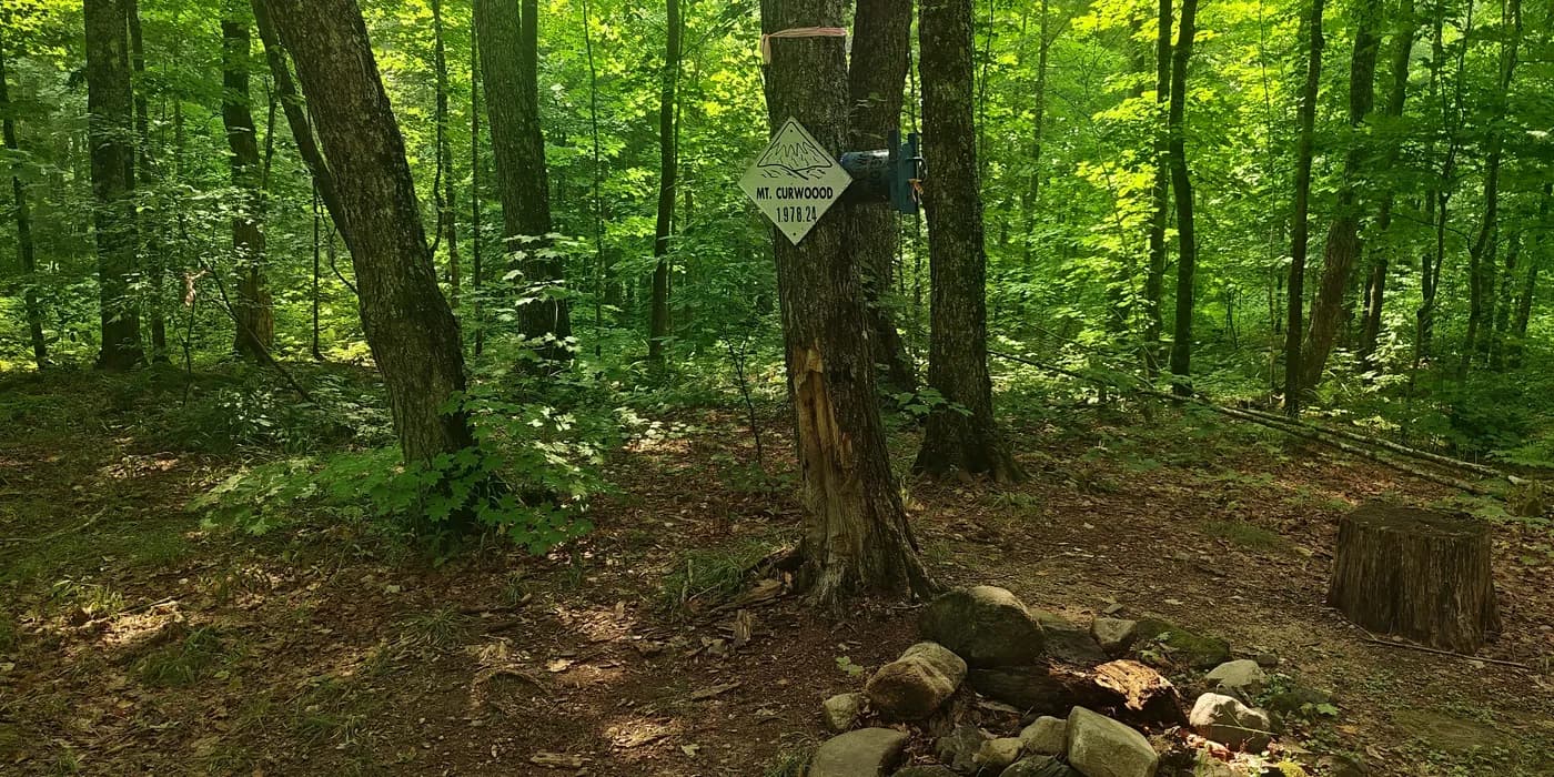
Mount Curwood: Michigan’s high point by 12 centimetres?
From there I continued to Superior and, the next morning, headed for Eagle Mountain. Wildfire smoke had made me uncertain whether the approach would even be sensible, but the hike itself became one of the calmest parts of the trip: forest, boardwalks, Whale Lake and a short final climb to Minnesota's marked high point. Its 703 km of isolation made it the most isolated summit of the entire journey.
That same evening, Height of Land Lookout reduced 215 km of isolation to a much simpler problem: how fast I could run through mosquitoes. The old lookout tower, uncertain natural high point and quiet lake country were interesting; the insect population was much more committed to direct interaction.
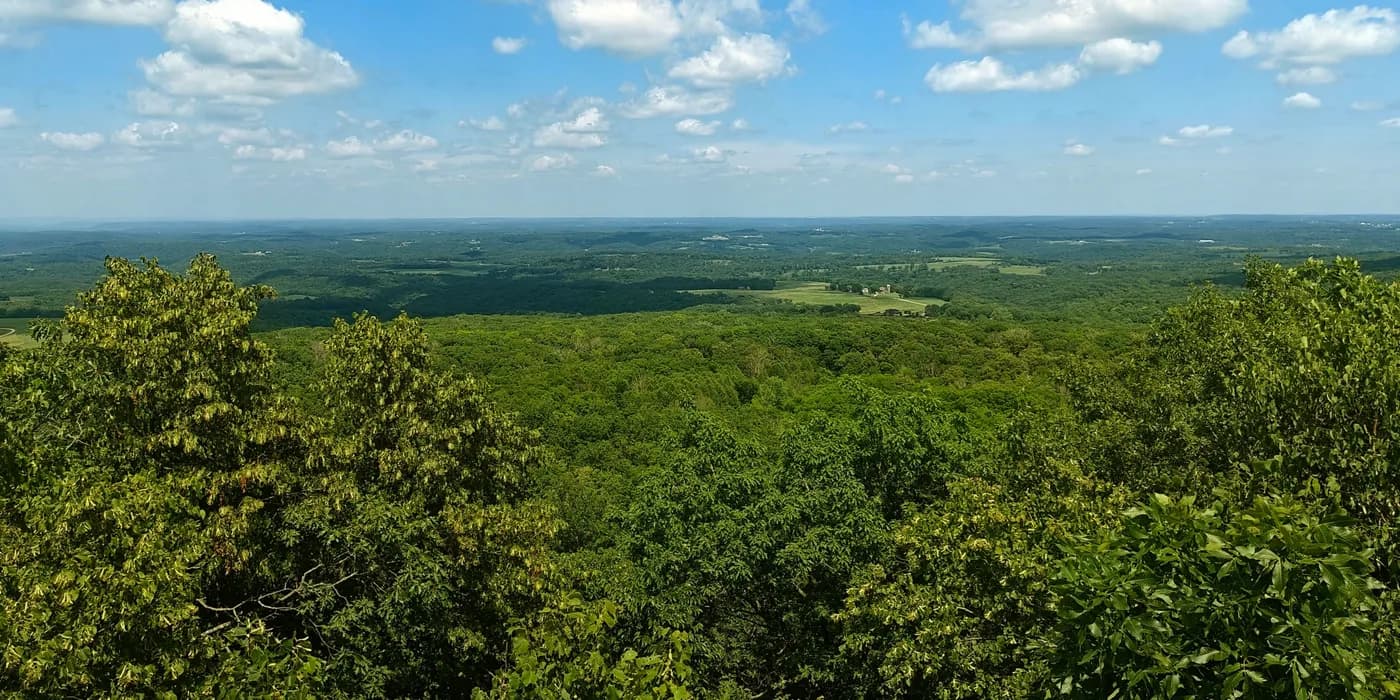
Blue Mounds: isolation, two towers and a ticket
Across the prairie, then suddenly a real mountain
The next morning moved the trip onto the plains. Roberts County High Point was barely a mountain in the visual sense, just a grassy rise reached along tractor tracks, but 150 km of isolation justified the stop. Later that day, White Butte gave North Dakota's high point much more shape: pale broken terrain rose like a small island of badlands from otherwise horizontal prairie.
Cloud Peak made the previous two short prairie walks feel tiny. I drove west to Wyoming, slept at the trailhead and started at first light. The day became the physical centrepiece of the trip: 40.4 km, 1,250 m of ascent and 15:06 on my track. The route began with quiet lakes and a two-log stream crossing, climbed into increasingly slow granite boulder fields, reached a 4,014 m summit above Cloud Peak Glacier and then reversed the entire process. By the time I crossed the same logs again, it was dark.
Cloud Peak was also the trip's most prominent summit at 2,174 m of prominence. More importantly, it changed the scale of everything around it. The previous few days had been road-linked high points where access or summit identification was often more interesting than climbing. Here the mountain itself consumed the whole day.
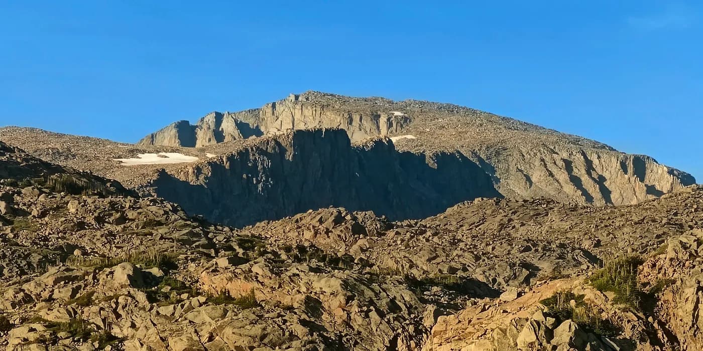
Cloud Peak: boulder fields, glacier views and a dark return
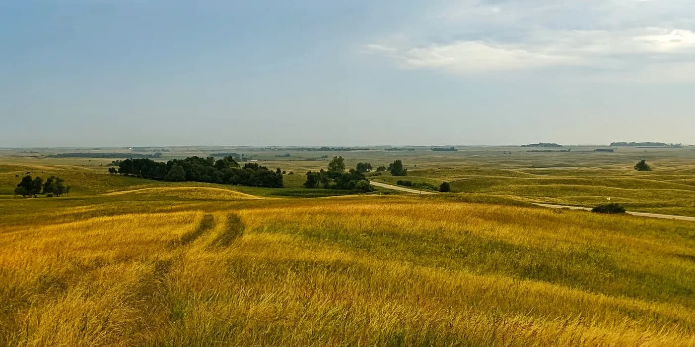
Roberts County High Point: 150 km of isolation in the prairie
Yellowstone changed the rhythm
Yellowstone: bison beside boiling ground changed the rhythm after Cloud Peak. The first day was defined by the strange coexistence of wildlife and geothermal activity. Bison stood beside steaming pools and crossed pale thermal ground, Hayden Valley opened into a much broader landscape, and mudpots made the earth itself look unreliable. An additional $100 nonresident entrance surcharge was an irritating welcome, but it quickly became secondary to what was happening beyond the gate.
Yellowstone: Grand Prismatic and the colours beneath the earth began after hotel prices pushed me north to Livingston for the night and I returned through the North Entrance. The second day shifted the emphasis from animals to geology: Mammoth's travertine terraces, smaller geysers, microbial mats and eventually Grand Prismatic from both ground level and the overlook. Old Faithful was worth seeing, but the smaller basins and Grand Prismatic interested me more. By evening I had left through the West Entrance and continued south to Ogden.
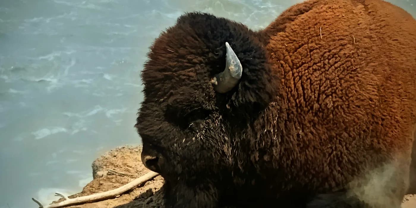
Yellowstone: bison beside boiling ground
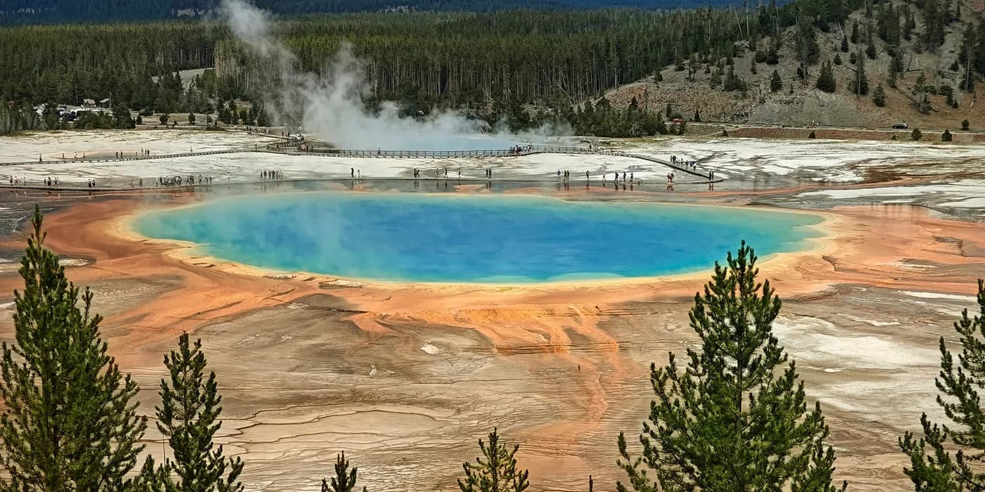
Yellowstone: Grand Prismatic and the colours beneath the earth
These two days were the clearest pause in the summit-collecting rhythm. I still covered a lot of ground, but there was no need to turn every stop into a peak. Yellowstone worked better as a reminder that geography can be memorable without ending at a summit marker.
Utah: heat, thunder and better detours
Frary Peak introduced Utah with heat. On Antelope Island, the trailhead temperature was around 40°C. I waited in the car for clouds that never arrived, then climbed anyway. The route supplied huge Great Salt Lake views, an accidental Class 3-ish ridge variation after I missed a turn and, once I was back on the island roads, bison and bighorn sheep. The animals were sensibly using their energy for things other than climbing exposed ridges in midsummer.
The following day, Mount Nebo gave me a different kind of Utah mountain. Deer and wildflowers made the lower trail unexpectedly green, while distant thunder repeatedly forced judgement calls on the higher ridge. I reached the Ultra-prominence summit and descended safely, only to discover a parking ticket that explained the trailhead permit system much more clearly than the nearly empty registration box had done before the hike.
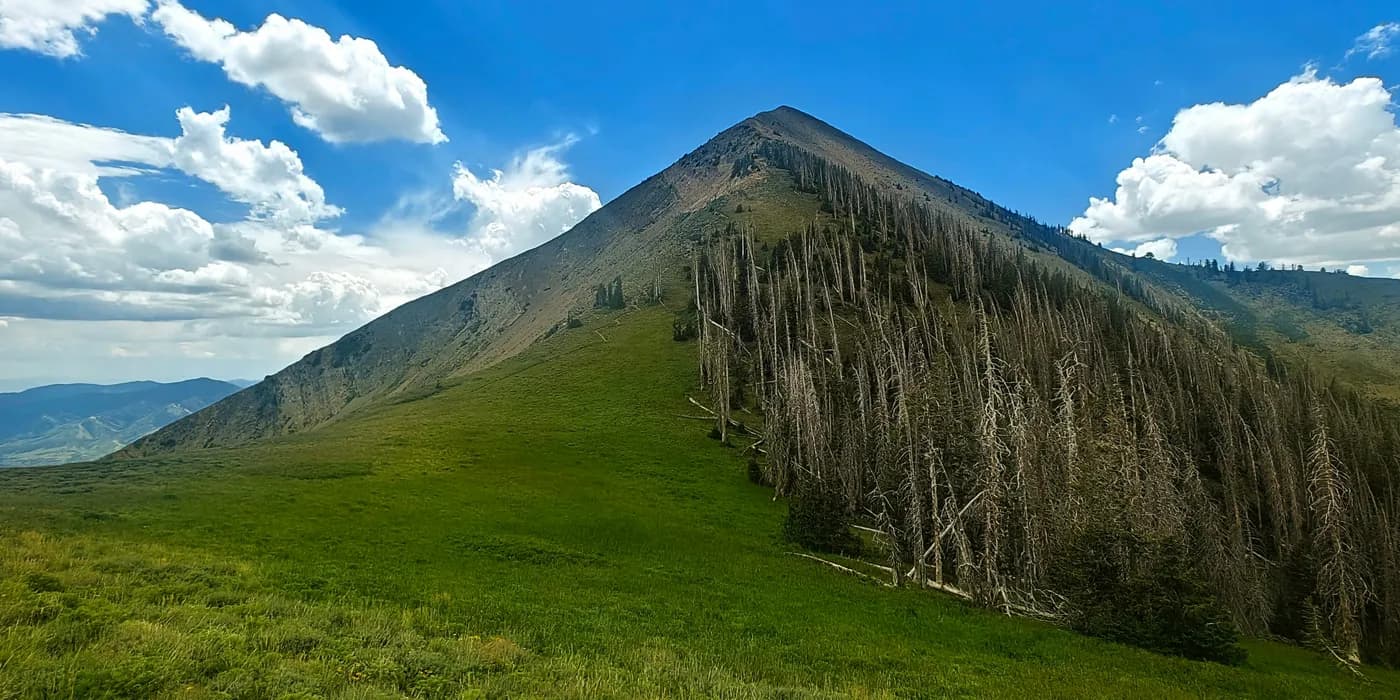
Mount Nebo: thunder, wildflowers and a parking ticket
Then the plan broke in a useful way. On 25 July I tried to approach Mount Ellen, but the rental car did not have enough clearance for the road. Instead of forcing the attempt, I used the spare time for Capitol Reef. The Waterpocket Fold, Fremont petroglyphs beside Highway 24 and a detour into badlands gave the failed summit day a much stronger identity than a frustrating turnaround would have done on its own.
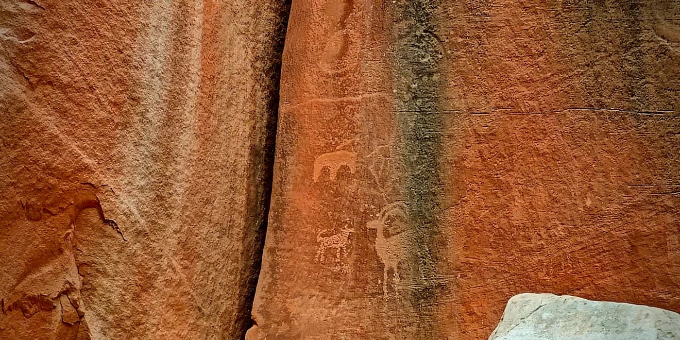
Capitol Reef by accident: petroglyphs and badlands
Mount Peale put the mountain objective back at the centre the next morning. It is the highest point of the Colorado Plateau and an Ultra, but the summit visit lasted only seconds. Loose scree slowed the upper route while dark clouds built nearby; thunder became close enough on the final ridge that I ran the last metres to the summit and immediately ran back down. Hours later, the same La Sal massif was still sitting under dark weather while Arches National Park was hot and bright enough to reach 43°C on the car display.
Arches National Park was another detour that justified itself immediately. Four hours were enough for a fast circuit through Balanced Rock, the Windows, rock fins and storm-lit desert, but also enough to make it obvious that four hours were only an introduction. The contrast with Mount Peale was almost too neat: alpine thunder in the morning, desert heat and red sandstone in the afternoon, with the same stormy mountain range still visible behind the park.
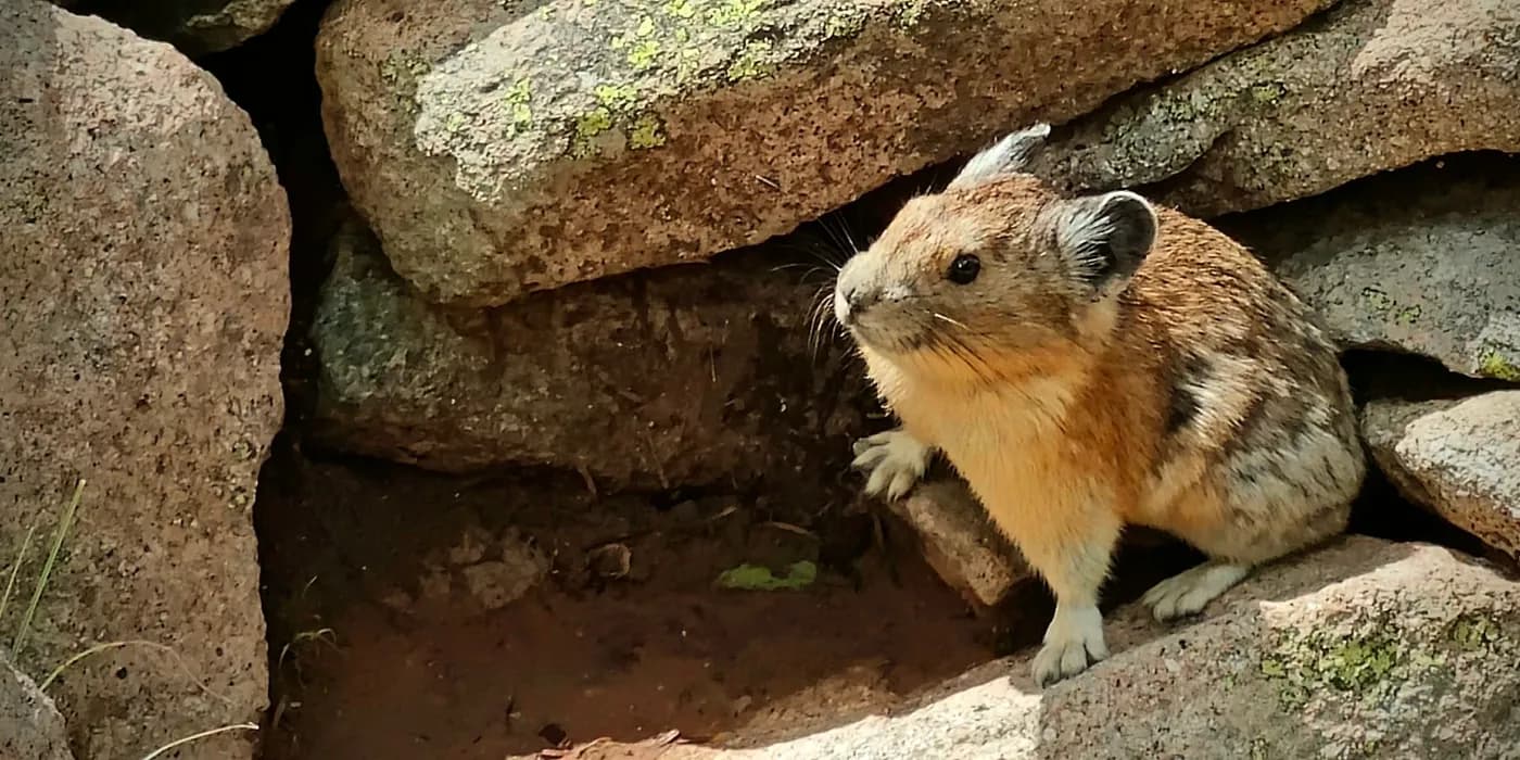
Mount Peale: thunder on the Colorado Plateau’s highest point
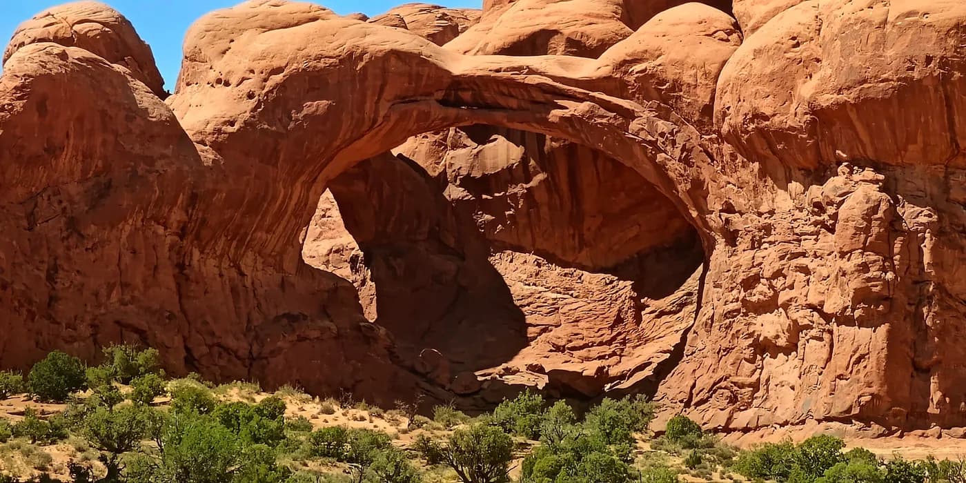
Arches National Park: the right half-day detour
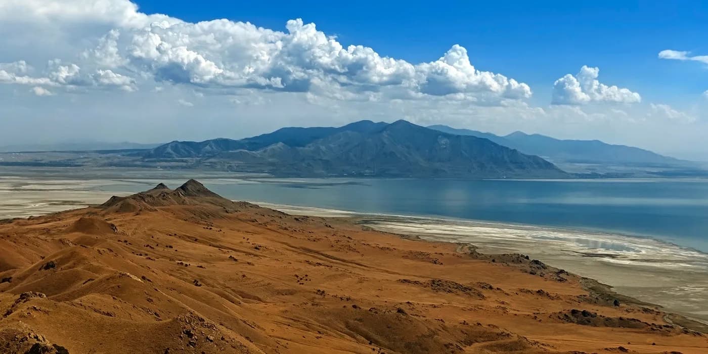
Frary Peak: 40°C heat, scrambling and Great Salt Lake views
A road to 4,302 metres
Pikes Peak was the final objective. I had tried to drive it in 2019 and been stopped by snow, so returning years later gave the road more meaning than a first visit would have had. This time the highway was open. Bighorn sheep appeared beside the road, the summit was busy, and the descent included the famous brake-temperature check.
Pikes Peak was not the mountain that impressed me most on this journey, and reaching 4,302 m by car was obviously a different achievement from walking to Cloud Peak or Mount Peale. That difference made it a fitting finish. The trip had never been about proving that every summit had to be hard. It had been about following whatever made each place geographically or personally worth stopping for.
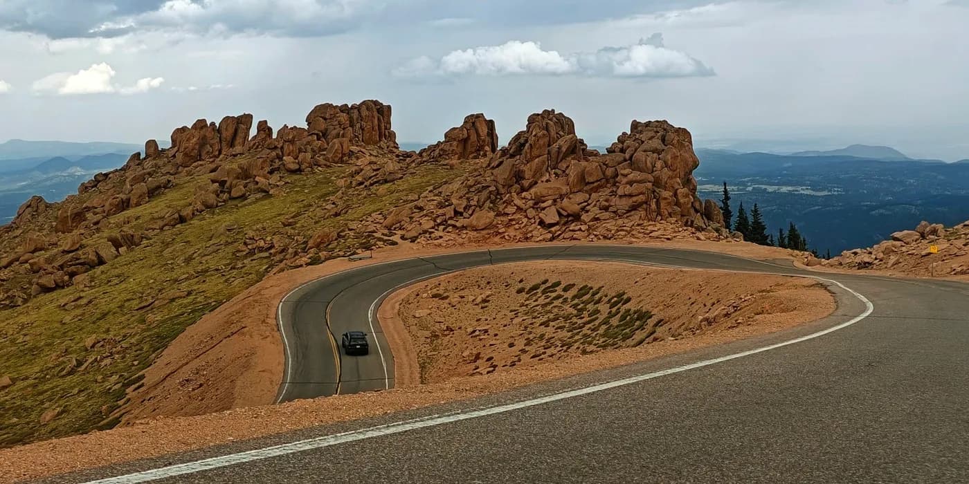
Driving Pikes Peak: a second attempt to the summit
The trip in numbers
| Measure | Result |
|---|---|
| Trip dates | 15–27 July 2026 |
| Individual trip articles | 16 |
| Summit/high-point visits | 12, including both Curwood and Arvon |
| Ultra-prominence summits reached | 4 |
| Recorded hiking distance* | 93.5 km |
| Recorded hiking ascent* | 4,087 m |
| Longest hike | Cloud Peak — 40.4 km, 1,250 m, 15:06 |
| Highest summit reached | Pikes Peak — 4,302 m, by road |
| Highest summit climbed on foot | Cloud Peak — 4,014.4 m |
| Most prominent summit | Cloud Peak — 2,174 m |
| Most isolated summit | Eagle Mountain — 703.44 km |
*Walking totals include the hikes with recorded distance and ascent figures. They exclude the very short Curwood/Arvon summit walks and sightseeing on non-hike days, so the actual distance covered on foot was slightly higher.
What remained
The sequence I remember is not a ranking of mountains. It is a nearly flat Wisconsin lawn, an absurd pair of Michigan summits separated by centimetres, wildfire haze over Minnesota, mosquitoes turning a lookout visit into a sprint, prairie giving way to White Butte, two logs crossed again after dark below Cloud Peak, bison beside boiling ground, Grand Prismatic's impossible colour, the heat of Antelope Island, thunder on Nebo and Peale, petroglyphs discovered because another mountain failed, red sandstone under storm light and finally a road climbing above 4,000 metres.
That is what made the trip coherent in the end. The objectives were different, the scale kept changing, and not every plan worked. The road between them turned those inconsistencies into the journey.