Skip to content
Menu
p600.org
  • home
  • map
  • trips
  • about
p600.org

Aida

hike | 2023-02-04
243 m altitude, 158 m prominence, - km isolation

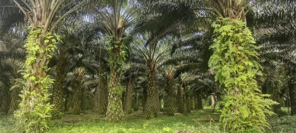
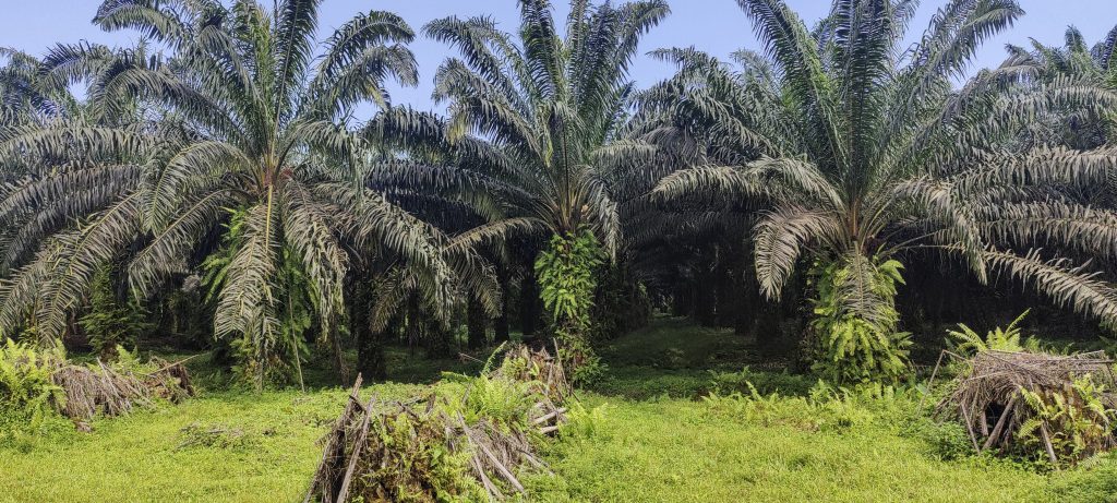
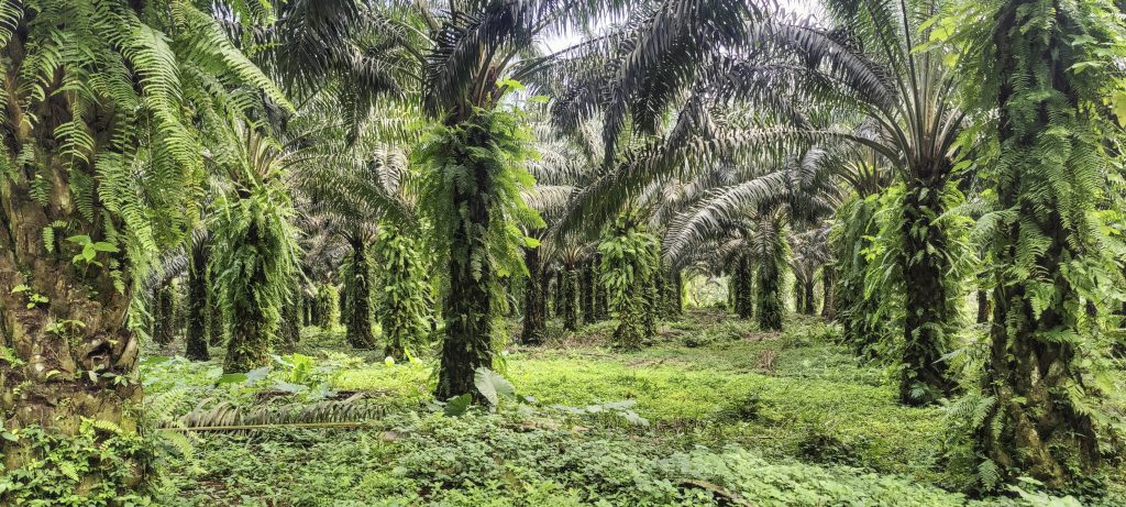
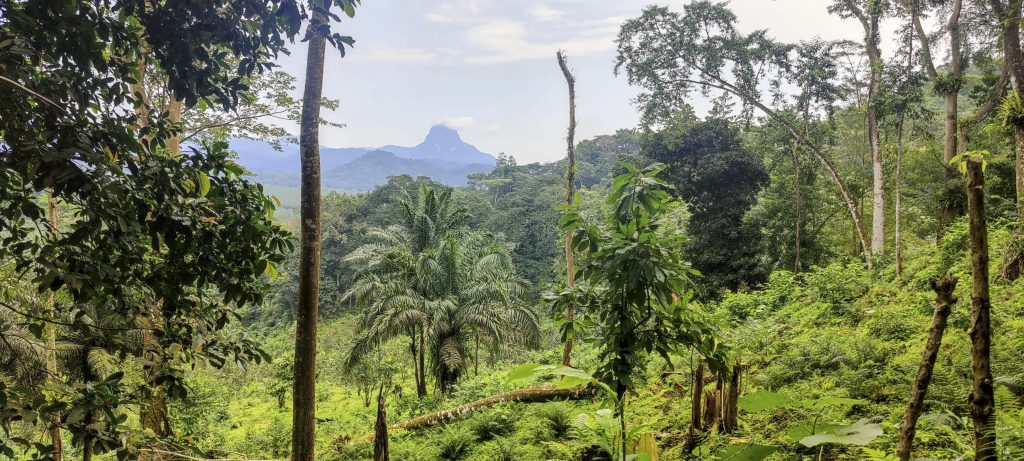
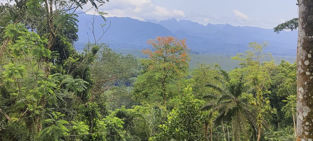
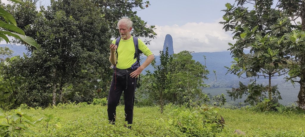
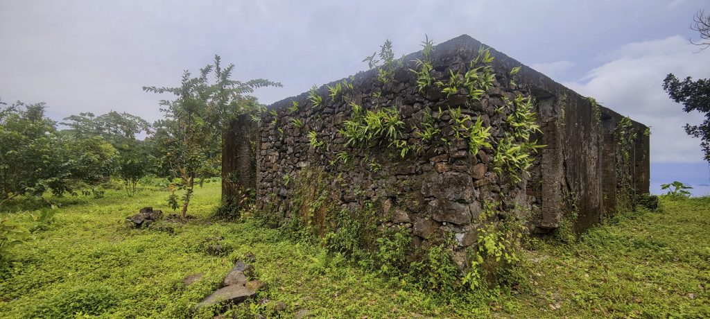
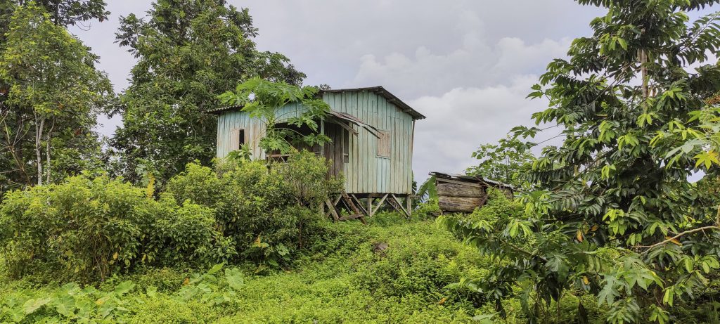
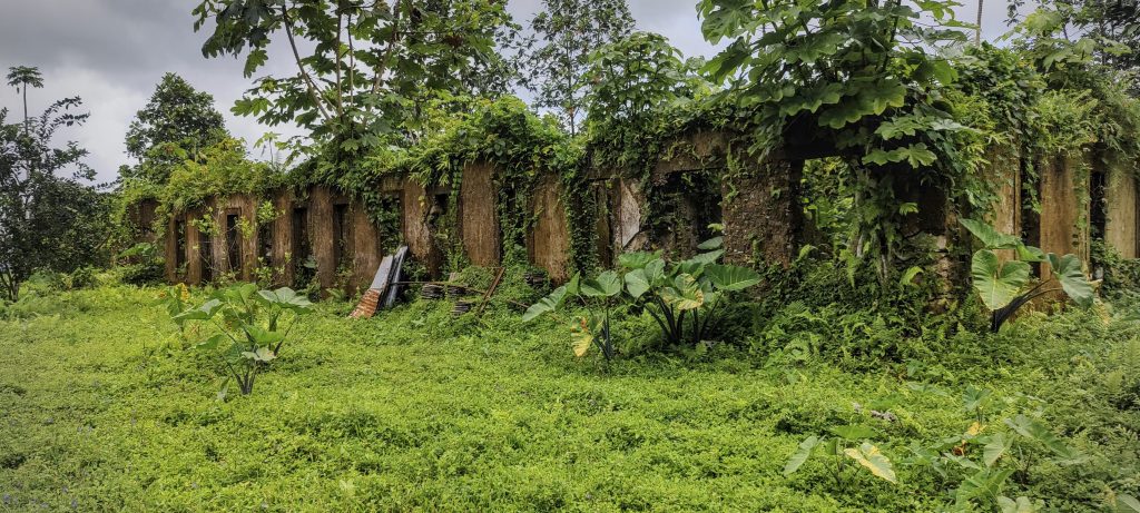
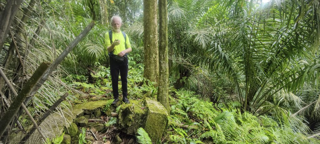
We started our day trip to the south of the island with a short and easy hike to Aida Peak. We left our car at the oil palm plantation and walked along a rough road, greeting a few locals carrying breadfruit on their heads. One of them followed us and later explained that he lived on the peak. Friendly guy and he offered to take us to the real summit, which we accepted. The real summit is a few hundred metres from the ruins of Villa Irene, perhaps a more popular tourist destination for many. A little bushwhacking and we found a broken trig pillar.

There are oil palm plantations at the trailhead. There are quite a few of them on the south side of the island.
Pico Maria Fernandes 861m P522 ??
View from ridge (left)
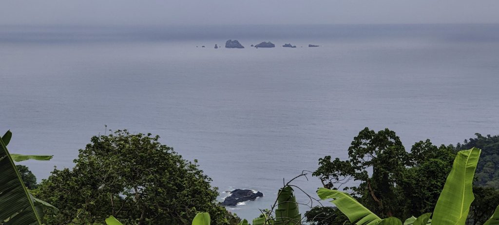
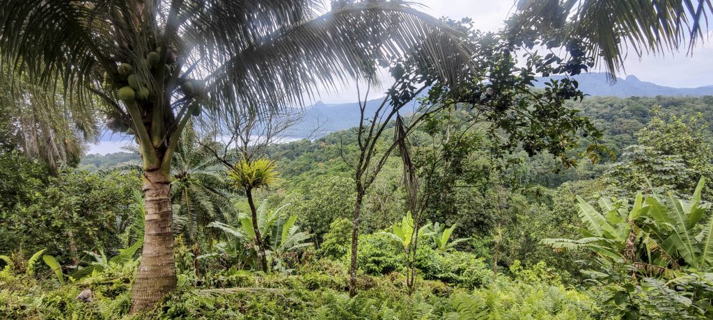
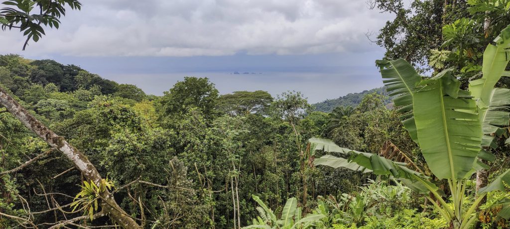
Ilhéus Sete Pedras (right)
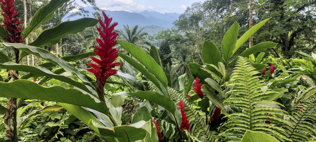
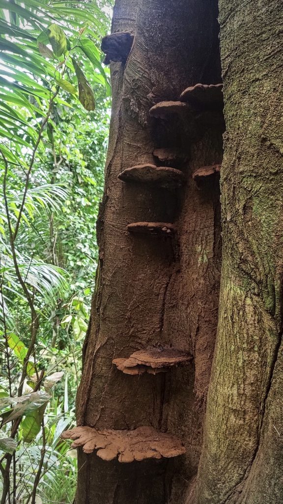
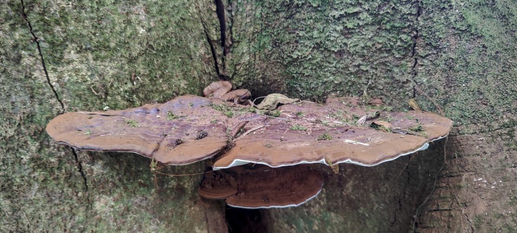
Alpinia purpurata (??), commonly known as Red Ginger or Ostrich Plume and Pink Cone Ginger
Friendly local with breadfruit. He lives on the hill (left)
Polypore (right)
Views from the lower peak
Rob on the lower summit with Pico Cão Grande in the background
The ruins of Villa Irene and a typical ‘modern’ house (top right)
Rob next to the broken real summit trig pillar
He fed us delicious grapefruits and lemons from his own garden. Thanks!
Polypore
Views from the summit and Ilhéus Sete Pedras in the background
Views from summit
Pico Cão Grande is a 663 metre volcanic peak that rises 370 metres above the surrounding terrain. It was formed by magma solidifying in the vent of an active volcano. Technically very difficult 5.14 grade climb.

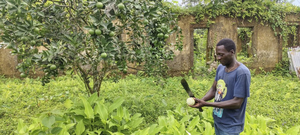
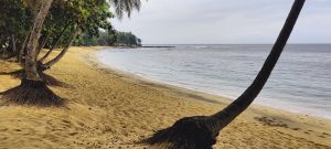
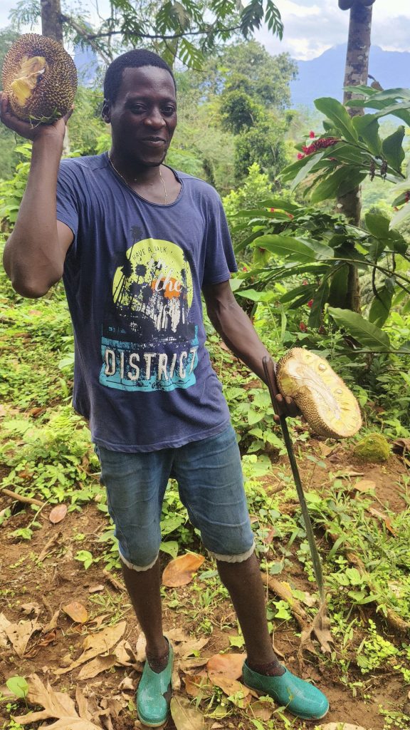
On the way down, our friendly local cut some delicious grapefruits for us and gave us a few more for the road. It was a lovely start to a promising day. We continued on to the southernmost peninsula of São Tomé with the Lama Porco peak.

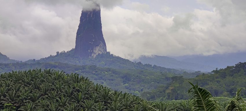
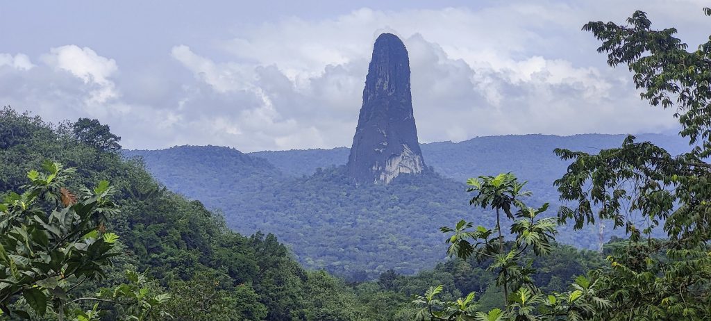
  • Cover Image – Pico Cão Grande

Aida 243 m altitude
158 m prominence
Ranges West Africa Mountains - Bight of Benin
Countries/regions São Tomé and Príncipe - São Tomé Province
Distance 1.40 km up 1.40 km down
Elevation 138 m gain 138 m loss
Time
0h55 up
0h05 other
0h50 down
1h50 total
Trailhead 104 m altitude 0.0930270, 6.5889160
Route

We left the main tarmac road and turned into an oil palm plantation, but after less than a kilometre we parked the car and walked south along the forest road. The road ended at the crest and we continued east along the track through dense grass. The lower summit was a large flat grassy field. Then another few hundred metres through less dense jungle led to the actual summit. We followed the same route down.

Difficulties

Some light bushwhacking is required to reach the actual summit, which is a few hundred metres from the popular lower summit.

Links GPX trail
  • West Africa 2023
  • « Diogo Vaz
  • Lama Porco »

Mountain Ranges

Anatolia
Taurus Mountains
Western Anatolia
Andes
Puna de Atacama
Atlas Mountains
High Atlas
Northwestern Atlas
Central America Ranges
Costa Rica-Panama Ranges
Central Central America
Eastern Europe Ranges
Southeast Baltic Plains
Iberian Peninsula
Cordillera Cantabrica
Castile Ranges
Portugal-Galicia
Pyrenees
Malay Archipelago
Java
Nusa Tengarra
Sulawesi
Sumatra
Northwest Europe
Great Britain
North France-West Rhine Area
Southeast South America
Pampas
Sierras de Cordoba
West Africa Mountains
Bight of Benin
Cameroon Mountains

Countries / regions

Algeria
Ain Guezzam
Ain Salah
Aïn Témouchent
El Bayadh
Ghardaïa
Oran
Ouargla
Saïda
Sidi Bel Abbès
Tamanrasset
Argentina
Catamarca
Ciudad Autónoma de Buenos Aires
Córdoba
Jujuy
Salta
Tucumán
Belgium
Brussels Capital Region
Flemish Region
Cameroon
Southwest
Costa Rica
Alajuela
Cartago
Guanacaste
Heredia
Limón
San José
Czechia
Prague
Denmark
Greenland
France
Hauts-de-France
Germany
Berlin
Niedersachsen
Indonesia
Bali
Jambi
Jawa Tengah
Jawa Timur
Nusa Tenggara Barat
Sulawesi Tengah
Sulawesi Utara
Sumatera Barat
Lithuania
Vilnius County
Morocco
Béni Mellal-Khénifra
Drâa-Tafilalet
Fez-Meknes
Marrakesh-Safi
Souss-Massa
Tangier-Tetouan-Al Hoceima
Netherlands
Gelderland
Noord-Holland
Zeeland
Nicaragua
Chinandega
Managua
Masaya
Rivas
Poland
Greater Poland Voivodeship
Masovian Voivodeship
Portugal
Castelo Branco
Leiria
Lisbon
Santarém
São Tomé and Príncipe
São Tomé Province
Spain
Aragón
Asturias
Castilla-La Mancha
Castilla y León
Switzerland
Zürich
Turkey
Antalya
Isparta
Muğla
United Kingdom
England
Scotland
United States
Delaware
Florida
Maryland
New Jersey
New York
South Carolina
Pennsylvania

TRIPS

2023
West Africa II 2023
Iberian Peninsula 2023
West Africa 2023
Central America 2023
2022
Andes 2022
Northwest Europe 2022
Malay Archipelago III 2022
Malay Archipelago II 2022
Anatolia Mountains 2022
Iberian Peninsula 2022
Atlas Mountains 2022
North France-West Rhine Area 2022

archaeology (3) climb (72) food (2) hike (71) p30 (6) p100 (9) p300 (8) p600 (13) p1000 (5) p1500 (34) ribu (4) sight (35) summary (11) ultra (34)

843 km walked, 65 330 m climbed

©2023 p600.org | WordPress Theme by Superbthemes.com