Skip to content
Menu
p600.org
  • home
  • map
  • trips
  • about
p600.org

Lama Porco

hike | 2023-02-04
125 m altitude, 120 m prominence, - km isolation

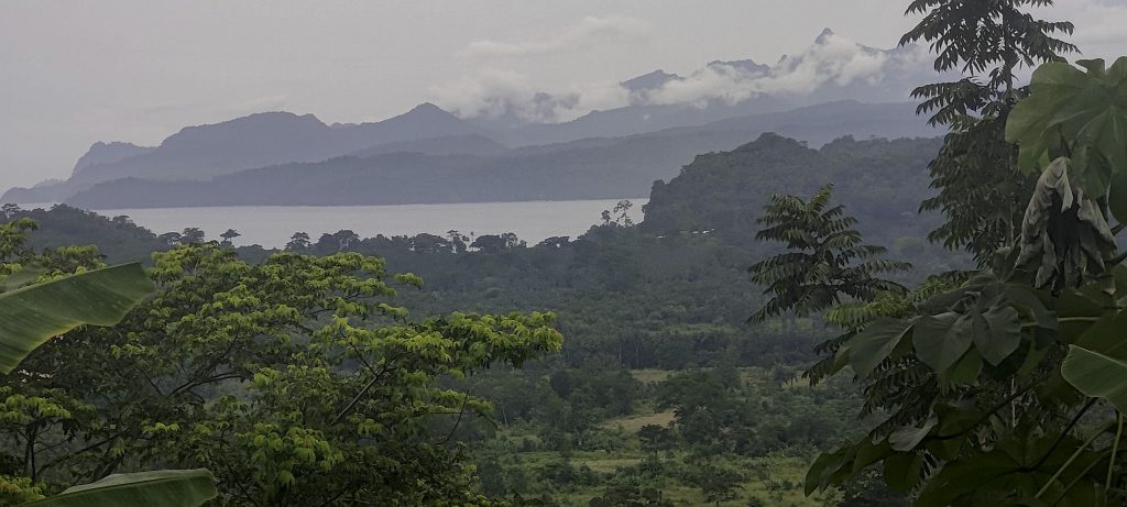
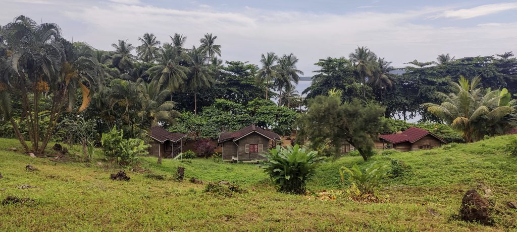
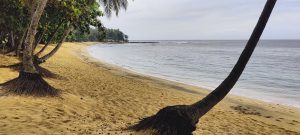
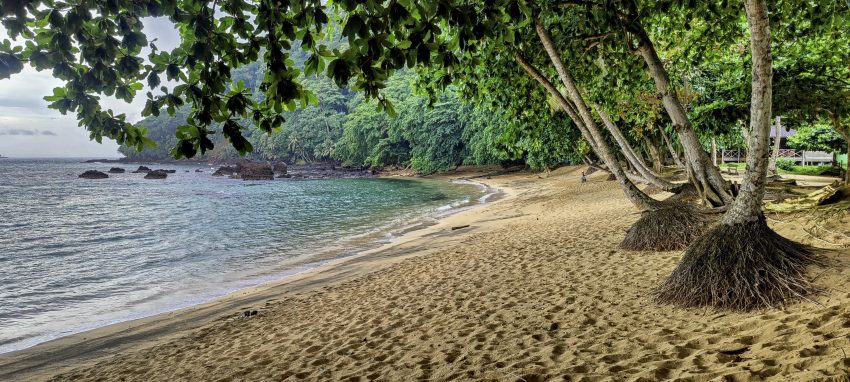
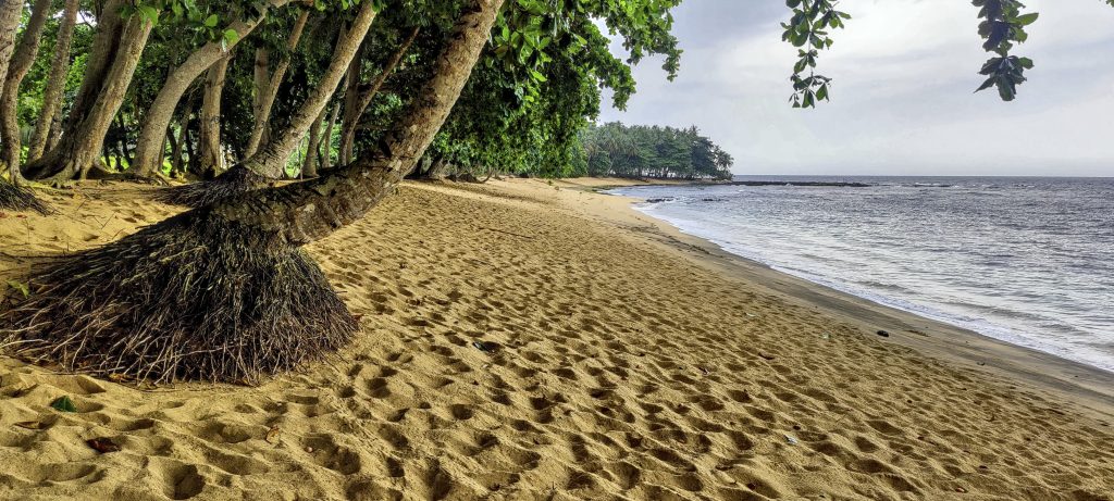
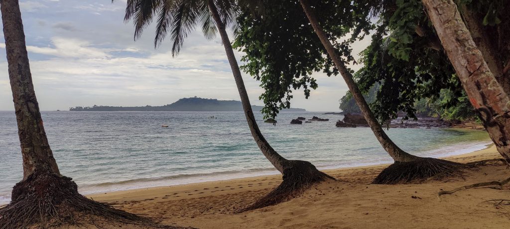
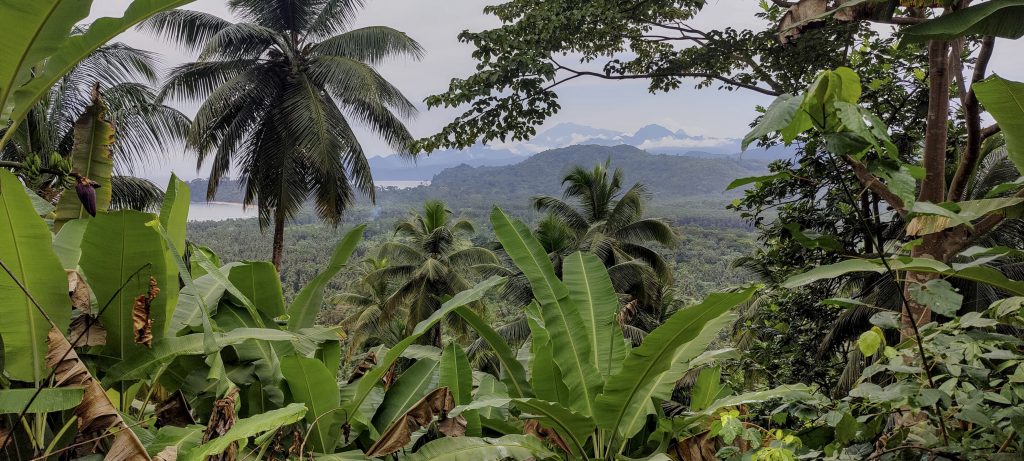
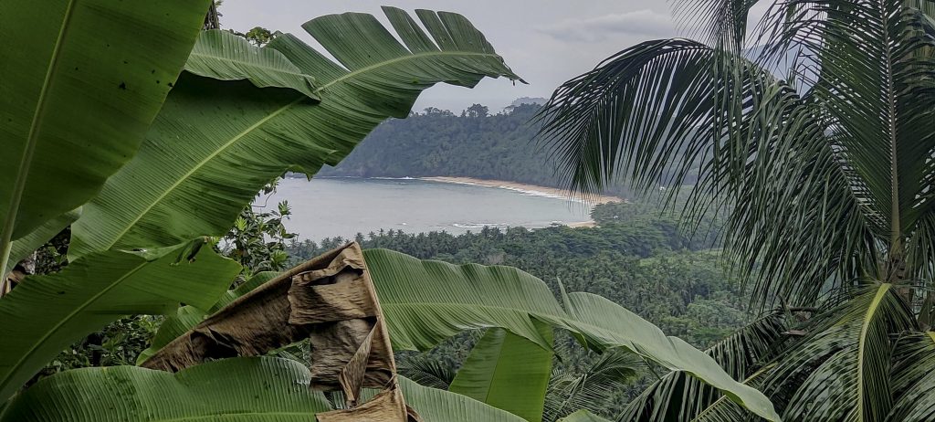
Before the second summit of the day, we stopped for coffee at the lodge cafeteria, which has a beautiful sandy beach lined with palm trees. The drive through the potholes was worth every minute. From the cafeteria we could see tourists getting into small boats and heading for Ilhéu das Rolas. This small island lies on the equator and I guess this virtual line attracts visitors… or maybe they come to prove the spinning water experiment, who knows.

Praia Inhame – beautiful sandy beach
The island of Ilhéu das Rolas is located on the equator and has a maximum elevation of 96 metres
Nice sandy beach
Beach and island of Ilhéu das Rolas in the background (left)
Lama Porco peak does not look very high (right)
Egret
Views from summit
Praia Piscina in the northwest

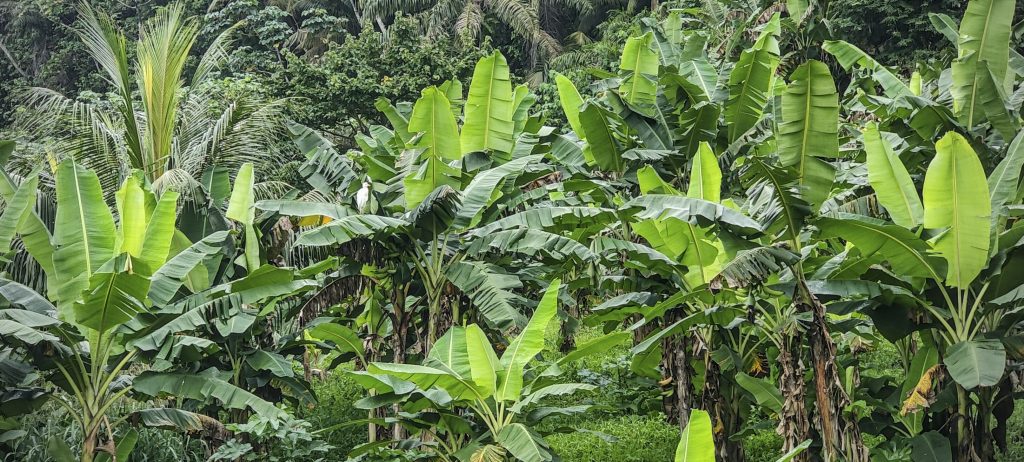
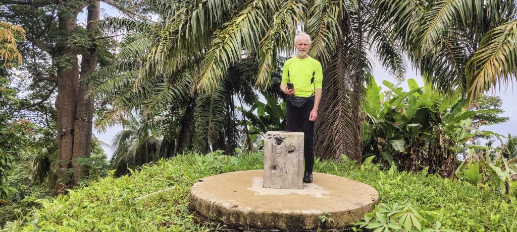
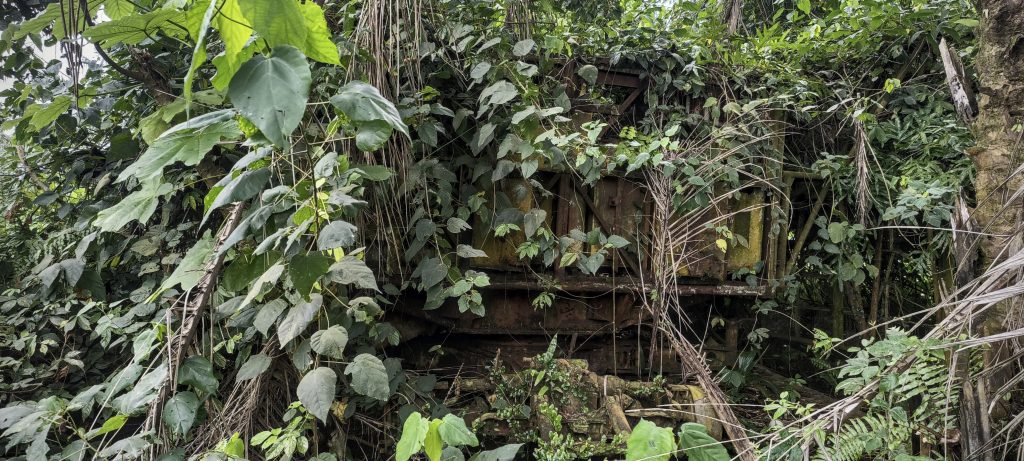
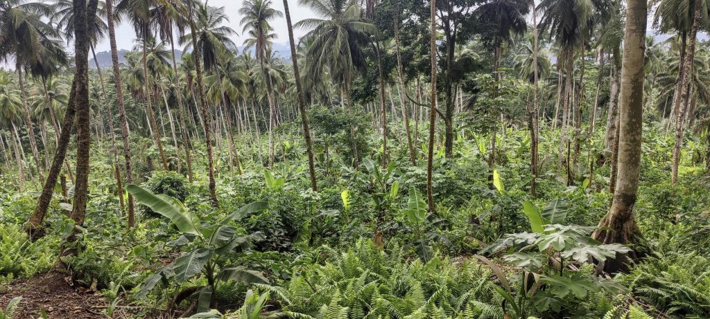
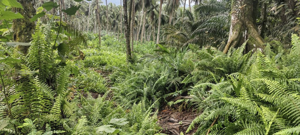
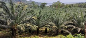
From the lodge we crossed a plantation and reached an overgrown old road that led us to the top. At the top we found an old abandoned and rusted artillery installation and not far away a trig pillar with the typical inscription 1916. There was little else to see around us, but interestingly we met a group of people at the top. We descended to the car and still had time to climb Cantagalo today.

Rob at the trig pillar, but this point may be a little lower than the bump a hundred metres away
Old rusty artillery installation overgrown with bushes
Summit with constructions
Peaks of the west coast of São Tomé
Lower path through palm plantation
Praia Inhame Eco Lodge buildings

Lama Porco 125 m altitude
120 m prominence
Ranges West Africa Mountains - Bight of Benin
Countries/regions São Tomé and Príncipe - São Tomé Province
Distance 1.00 km up 1.00 km down
Elevation 114 m gain 114 m loss
Time
0h20 up
0h05 other
0h15 down
0h40 total
Trailhead 10 m altitude 0.0257770, 6.5204720
Route

I started recording the GPX trail later, so it is shorter on the way up, but has all the necessary information on the way down. From the lodge towards the summit there was high grass and no visible trail, but not much was needed. At the bottom of the steeper slope the trail was more obvious and soon joined an overgrown old road (supposedly military). At the top we simply walked across the flat grassy area to the highest point.

Difficulties

Finding the overgrown old road from the lodge was a bit tricky as there was no clear trail, but keeping to the direction helped.

Links GPX trail
  • West Africa 2023
  • « Aida
  • Cantagalo »

Mountain Ranges

Anatolia
Taurus Mountains
Western Anatolia
Andes
Puna de Atacama
Atlas Mountains
High Atlas
Northwestern Atlas
Central America Ranges
Costa Rica-Panama Ranges
Central Central America
Eastern Europe Ranges
Southeast Baltic Plains
Iberian Peninsula
Cordillera Cantabrica
Castile Ranges
Portugal-Galicia
Pyrenees
Malay Archipelago
Java
Nusa Tengarra
Sulawesi
Sumatra
Northwest Europe
Great Britain
North France-West Rhine Area
Southeast South America
Pampas
Sierras de Cordoba
West Africa Mountains
Bight of Benin
Cameroon Mountains

Countries / regions

Algeria
Ain Guezzam
Ain Salah
Aïn Témouchent
El Bayadh
Ghardaïa
Oran
Ouargla
Saïda
Sidi Bel Abbès
Tamanrasset
Argentina
Catamarca
Ciudad Autónoma de Buenos Aires
Córdoba
Jujuy
Salta
Tucumán
Belgium
Flemish Region
Brussels Capital Region
Cameroon
Southwest
Costa Rica
Alajuela
Cartago
Guanacaste
Heredia
Limón
San José
Czechia
Prague
Denmark
Greenland
France
Hauts-de-France
Germany
Berlin
Niedersachsen
Indonesia
Bali
Jambi
Jawa Tengah
Jawa Timur
Nusa Tenggara Barat
Sulawesi Tengah
Sulawesi Utara
Sumatera Barat
Lithuania
Vilnius County
Morocco
Béni Mellal-Khénifra
Drâa-Tafilalet
Fez-Meknes
Marrakesh-Safi
Souss-Massa
Tangier-Tetouan-Al Hoceima
Netherlands
Gelderland
Noord-Holland
Nicaragua
Chinandega
Managua
Masaya
Rivas
Poland
Greater Poland Voivodeship
Masovian Voivodeship
Portugal
Castelo Branco
Leiria
Lisbon
Santarém
São Tomé and Príncipe
São Tomé Province
Spain
Aragón
Asturias
Castilla-La Mancha
Castilla y León
Switzerland
Zürich
Turkey
Antalya
Isparta
Muğla
United Kingdom
England
Scotland
United States
Delaware
Florida
Georgia
Maryland
New Jersey
New York
North Carolina
South Carolina
Pennsylvania
Virginia

TRIPS

2023
West Africa 2023 II
Iberian Peninsula 2023
West Africa 2023
Central America 2023
2022
Andes 2022
Northwest Europe 2022
Malay Archipelago III 2022
Malay Archipelago II 2022
Anatolia Mountains 2022
Iberian Peninsula 2022
Atlas Mountains 2022

archaeology (3) climb (69) food (2) hike (68) p30 (3) p100 (9) p300 (8) p600 (13) p1000 (5) p1500 (34) ribu (4) sight (34) summary (11) ultra (34)

839 km walked, 65 247 m climbed

©2023 p600.org | WordPress Theme by Superbthemes.com