Skip to content
Menu
p600.org
  • home
  • map
  • trips
  • about
p600.org

Sameiro

hike | 2023-02-05
142 m altitude, 65 m prominence, - km isolation

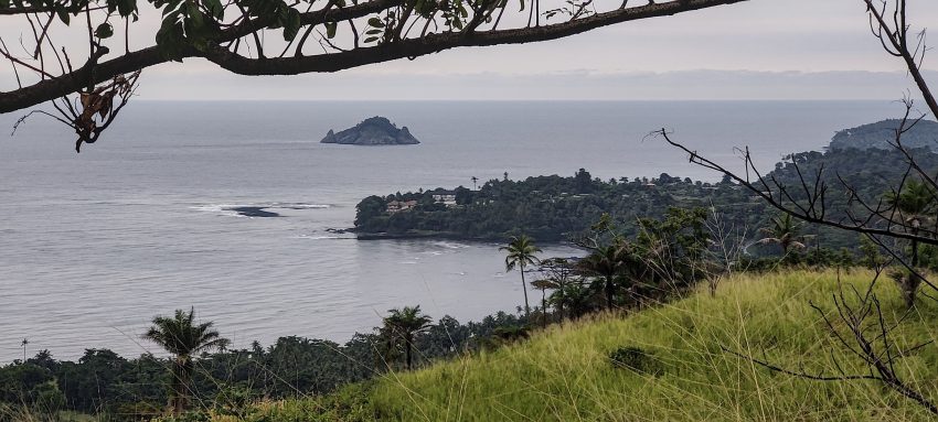
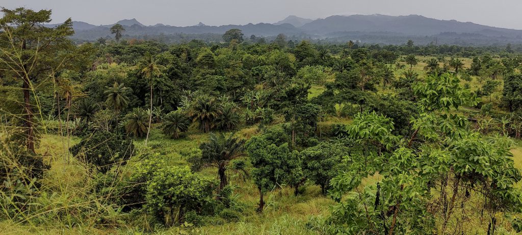
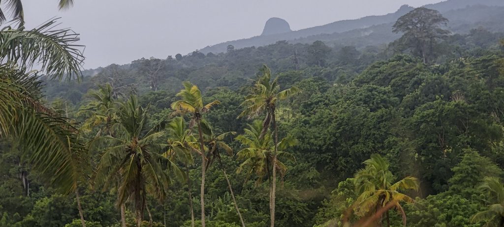
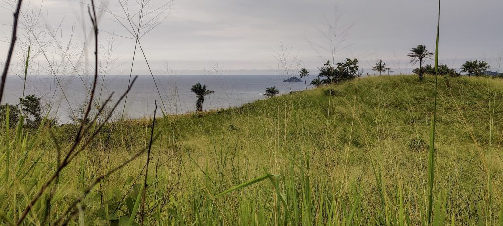
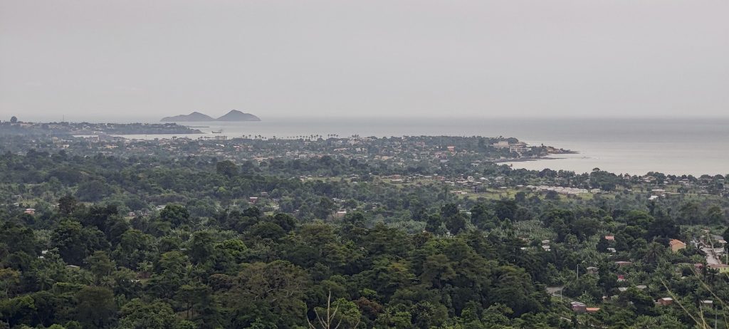
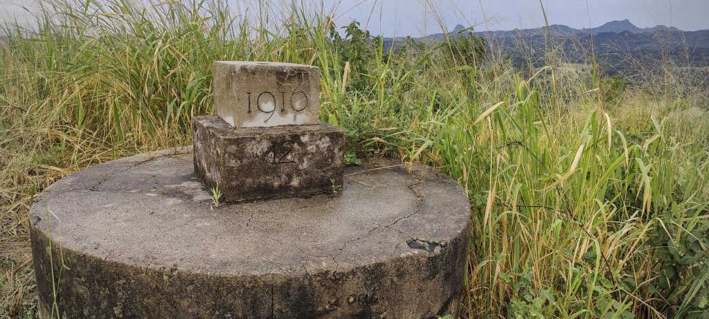
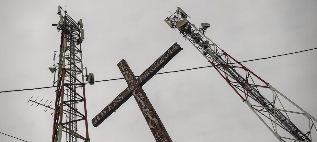
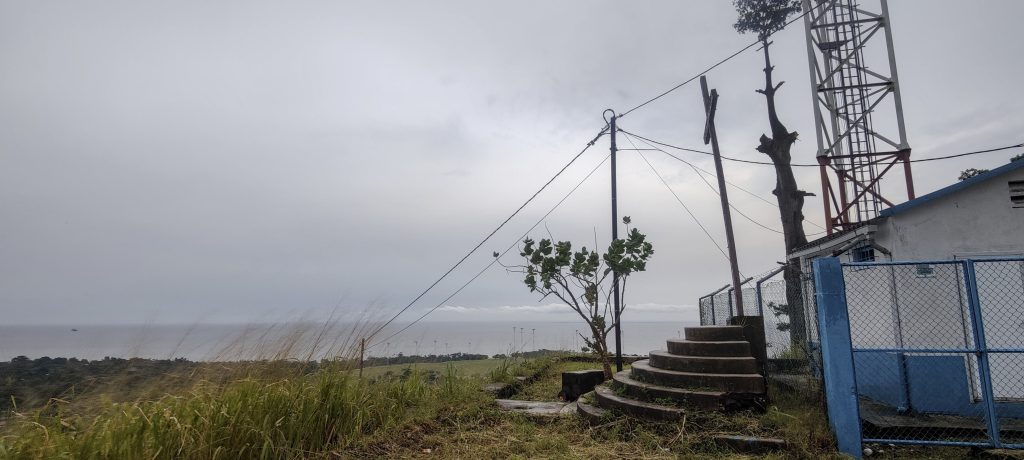
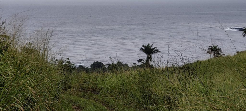
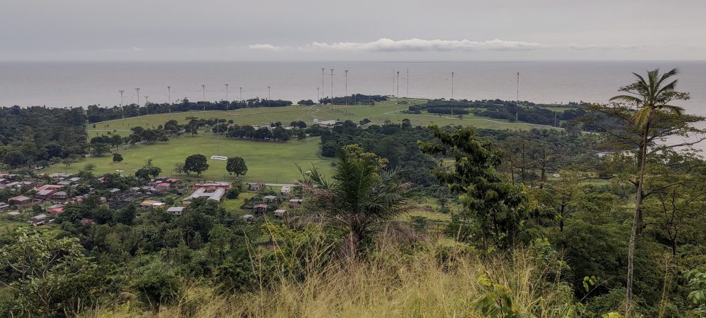
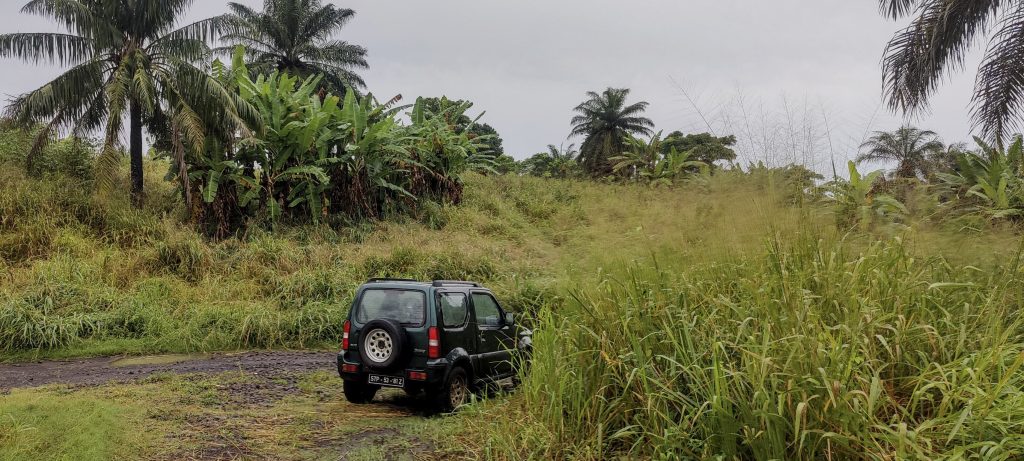
This is the last peak of the trip, a small hill with communication masts and a dirt road. We left our car at one of the forks, although with a larger car it might be possible to drive all the way to the top (rough road). At the top we found a trig pillar, a cross, communication masts and possibly something else. There was a good view of the sea and the antennas of the Voice of America radio station.

Very green plain at the foot of the hill
Views on the way up
Views from above
Trig pillar at the top with typical “1916” inscription
Communication masts and cross on the summit
Peak is close to the sea
Voice of America radio station broadcasts from here to most of Africa
Green views
We left the car at the fork

In a few minutes we will go back to the car and drive to the hotel. Later we will go to the airport to catch our flight to Lisbon, where we will have a long layover. Of course, we will use this opportunity to do some peakbagging and our first planned peak is Aire, a high point in the Santarém region of Portugal.


Sameiro 142 m altitude
65 m prominence
Ranges West Africa Mountains - Bight of Benin
Countries/regions São Tomé and Príncipe - São Tomé Province
Distance 0.70 km up 0.70 km down
Elevation 66 m gain 66 m loss
Time
0h15 up
0h05 other
0h10 down
0h30 total
Trailhead 75 m altitude 0.2880100, 6.7406300
Route

We leave a car at the fork and walk the rough road to the summit.

Links GPX trail
  • West Africa 2023
  • « Muquinqui
  • São Tomé Island »

Mountain Ranges

Anatolia
Taurus Mountains
Western Anatolia
Andes
Puna de Atacama
Atlas Mountains
High Atlas
Northwestern Atlas
Central America Ranges
Costa Rica-Panama Ranges
Central Central America
Eastern Europe Ranges
Southeast Baltic Plains
Iberian Peninsula
Cordillera Cantabrica
Castile Ranges
Portugal-Galicia
Pyrenees
Malay Archipelago
Java
Nusa Tengarra
Sulawesi
Sumatra
Northwest Europe
Great Britain
North France-West Rhine Area
Southeast South America
Pampas
Sierras de Cordoba
West Africa Mountains
Bight of Benin
Cameroon Mountains

Countries / regions

Algeria
Ain Guezzam
Ain Salah
Aïn Témouchent
El Bayadh
Ghardaïa
Oran
Ouargla
Saïda
Sidi Bel Abbès
Tamanrasset
Argentina
Catamarca
Ciudad Autónoma de Buenos Aires
Córdoba
Jujuy
Salta
Tucumán
Belgium
Flemish Region
Brussels Capital Region
Cameroon
Southwest
Costa Rica
Alajuela
Cartago
Guanacaste
Heredia
Limón
San José
Czechia
Prague
Denmark
Greenland
France
Hauts-de-France
Germany
Berlin
Niedersachsen
Indonesia
Bali
Jambi
Jawa Tengah
Jawa Timur
Nusa Tenggara Barat
Sulawesi Tengah
Sulawesi Utara
Sumatera Barat
Lithuania
Vilnius County
Morocco
Béni Mellal-Khénifra
Drâa-Tafilalet
Fez-Meknes
Marrakesh-Safi
Souss-Massa
Tangier-Tetouan-Al Hoceima
Netherlands
Gelderland
Noord-Holland
Nicaragua
Chinandega
Managua
Masaya
Rivas
Poland
Greater Poland Voivodeship
Masovian Voivodeship
Portugal
Castelo Branco
Leiria
Lisbon
Santarém
São Tomé and Príncipe
São Tomé Province
Spain
Aragón
Asturias
Castilla-La Mancha
Castilla y León
Switzerland
Zürich
Turkey
Antalya
Isparta
Muğla
United Kingdom
England
Scotland
United States
Delaware
Florida
Georgia
Maryland
New Jersey
New York
North Carolina
South Carolina
Pennsylvania
Virginia

TRIPS

2023
West Africa 2023 II
Iberian Peninsula 2023
West Africa 2023
Central America 2023
2022
Andes 2022
Northwest Europe 2022
Malay Archipelago III 2022
Malay Archipelago II 2022
Anatolia Mountains 2022
Iberian Peninsula 2022
Atlas Mountains 2022

archaeology (3) climb (69) food (2) hike (68) p30 (3) p100 (9) p300 (8) p600 (13) p1000 (5) p1500 (34) ribu (4) sight (34) summary (11) ultra (34)

839 km walked, 65 247 m climbed

©2023 p600.org | WordPress Theme by Superbthemes.com