Skip to content
Menu
p600.org
  • home
  • map
  • trips
  • about
p600.org

Muquinqui

hike | 2023-02-05
270 m altitude, 125 m prominence, - km isolation

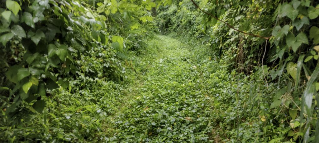
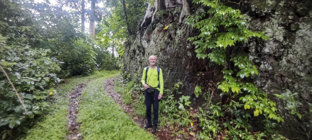
The storm had completely stopped by the time we reached the bottom of the mountain. We parked our car on the main road and walked up the almost perfectly formed spiral road to the top. We were able to take in all the surrounding views at least four times; twice on the way up and twice on the way down.

Recently fallen trees from the morning storm
I have three theories about the unusual fire circle: 1. it could be the result of a UFO landing; 2. it could have been caused by lightning from an earlier storm; 3. the farmers in the area could have been burning something.
The genus Malvaviscus penduliflorus consists of flowering plants belonging to the mallow family, Malvaceae. These species are commonly known as Turk’s cap mallow, wax mallow, sleeping hibiscus and mazapan.
Overgrown road goes all the way to the top

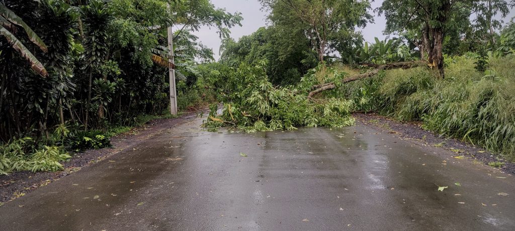
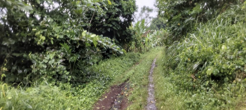
Well, the road is passable with a high-clearance car, but there are some large fallen trees along the way. Some from the morning storm. One fell after we left. Anyway, it was nice to walk in the fresh air after the rain.

Typical São Tomé inscription “1916” on trig pillar
Huge, typical Portuguese trig pillar on the summit, with a smaller one nearby (left)
Communication mast (right)
“1955” inscribed on large trig pillar
Rob at the top and on the way down

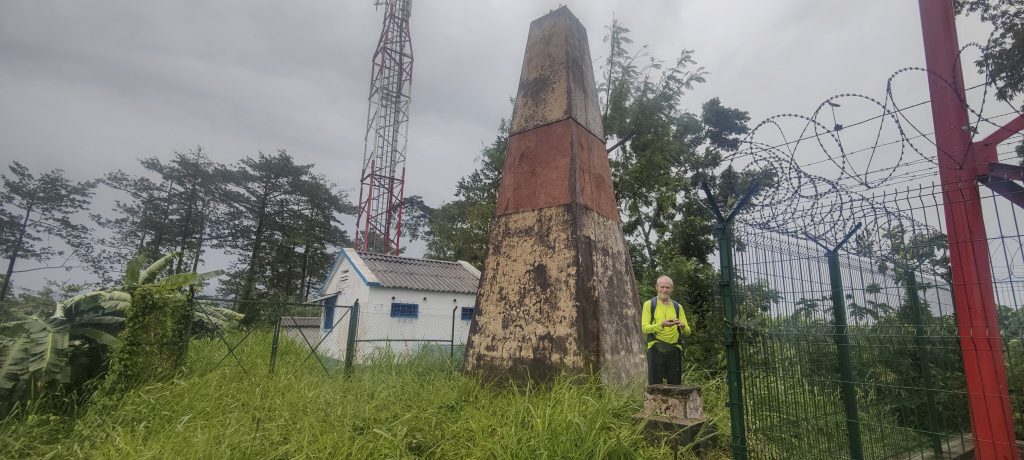
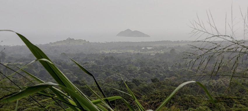
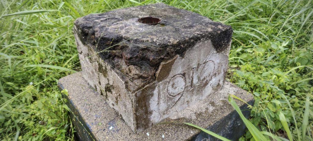
At the top we found huge Portuguese style trig pillar and communication masts. Not a great view because of the clouds, but on a sunny day the sea and some smaller peaks would make the landscape more interesting.

Exposure of tree roots (left)
Breadfruit tree (right)
The name of the mountain Muquinqui was again carved in stone along the path

It’s almost midday and we still have time for one more summit today. About ten kilometres to the south-east, near the Voice of America radio station, is the last summit of the trip – Sameiro.


Muquinqui 270 m altitude
125 m prominence
Ranges West Africa Mountains - Bight of Benin
Countries/regions São Tomé and Príncipe - São Tomé Province
Distance 3.10 km up 3.10 km down
Elevation 121 m gain 121 m loss
Time
0h45 up
0h05 other
0h35 down
1h25 total
Trailhead 149 m altitude 0.3758880, 6.6449440
Route

Leave the car on the main road and walk along the overgrown forest road to the top. Return the same way.

Difficulties

A tree fell on the road after we walked

Links GPX trail
  • West Africa 2023
  • « Pico Boa Entrada
  • Sameiro »

Mountain Ranges

Anatolia
Taurus Mountains
Western Anatolia
Andes
Puna de Atacama
Atlas Mountains
High Atlas
Northwestern Atlas
Central America Ranges
Costa Rica-Panama Ranges
Central Central America
Eastern Europe Ranges
Southeast Baltic Plains
Iberian Peninsula
Cordillera Cantabrica
Castile Ranges
Portugal-Galicia
Pyrenees
Malay Archipelago
Java
Nusa Tengarra
Sulawesi
Sumatra
Northwest Europe
Great Britain
North France-West Rhine Area
Southeast South America
Pampas
Sierras de Cordoba
West Africa Mountains
Bight of Benin
Cameroon Mountains

Countries / regions

Algeria
Ain Guezzam
Ain Salah
Aïn Témouchent
El Bayadh
Ghardaïa
Oran
Ouargla
Saïda
Sidi Bel Abbès
Tamanrasset
Argentina
Catamarca
Ciudad Autónoma de Buenos Aires
Córdoba
Jujuy
Salta
Tucumán
Belgium
Flemish Region
Brussels Capital Region
Cameroon
Southwest
Costa Rica
Alajuela
Cartago
Guanacaste
Heredia
Limón
San José
Czechia
Prague
Denmark
Greenland
France
Hauts-de-France
Germany
Berlin
Niedersachsen
Indonesia
Bali
Jambi
Jawa Tengah
Jawa Timur
Nusa Tenggara Barat
Sulawesi Tengah
Sulawesi Utara
Sumatera Barat
Lithuania
Vilnius County
Morocco
Béni Mellal-Khénifra
Drâa-Tafilalet
Fez-Meknes
Marrakesh-Safi
Souss-Massa
Tangier-Tetouan-Al Hoceima
Netherlands
Gelderland
Noord-Holland
Nicaragua
Chinandega
Managua
Masaya
Rivas
Poland
Greater Poland Voivodeship
Masovian Voivodeship
Portugal
Castelo Branco
Leiria
Lisbon
Santarém
São Tomé and Príncipe
São Tomé Province
Spain
Aragón
Asturias
Castilla-La Mancha
Castilla y León
Switzerland
Zürich
Turkey
Antalya
Isparta
Muğla
United Kingdom
England
Scotland
United States
Delaware
Florida
Georgia
Maryland
New Jersey
New York
North Carolina
South Carolina
Pennsylvania
Virginia

TRIPS

2023
West Africa 2023 II
Iberian Peninsula 2023
West Africa 2023
Central America 2023
2022
Andes 2022
Northwest Europe 2022
Malay Archipelago III 2022
Malay Archipelago II 2022
Anatolia Mountains 2022
Iberian Peninsula 2022
Atlas Mountains 2022

archaeology (3) climb (69) food (2) hike (68) p30 (3) p100 (9) p300 (8) p600 (13) p1000 (5) p1500 (34) ribu (4) sight (34) summary (11) ultra (34)

839 km walked, 65 247 m climbed

©2023 p600.org | WordPress Theme by Superbthemes.com