Skip to content
Menu
p600.org
  • home
  • map
  • trips
  • about
p600.org

Singgalang

hike | 2022-10-23
2877 m altitude, 1723 m prominence, 15.89 km isolation

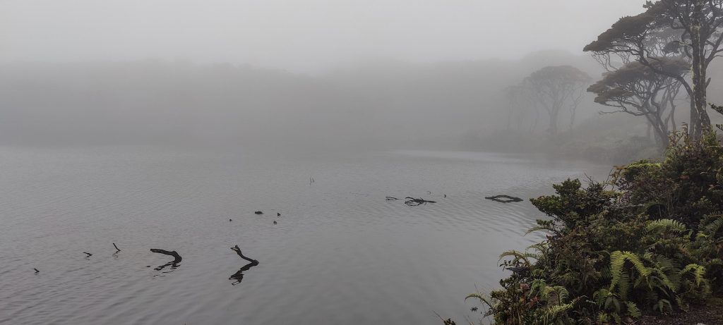
Today’s mountain is shrouded in legend. When one reaches the lake, one must never say a woman’s name out loud. I don’t know what happens when you say it loudly at the lake. But I strictly follow this instruction for all the right reasons.

After 5 a.m. breakfast, the whole family came for a group photo.

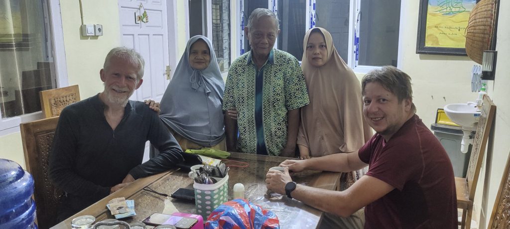
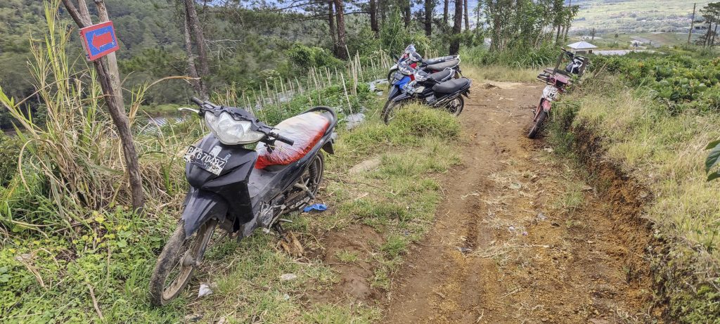
After an early morning breakfast and photo session, I am taken to the village of Koto Baru at the foot of the Singgalang mountain. The driver helps me hire a motorbike, and I quickly make my way towards the communication masts. The road was recently paved, so there was no need for a motorcycle; one can drive a car instead. But who would refuse the temptation to ride a motorcycle early in the morning in the rain? Rob drives towards Ribu Gunung Malintang because he climbed Singgalang fifteen years earlier.

One of the rare sights around

I stay alone at the communication towers, along with the promise of a motorcycle driver to pick me up later when I call him. I’ve talked to more than one guide about escorting me to the top, but they all say they have other things to do. Isn’t there going to be a lake story involved…? Or maybe tigers? If one trusts the Wikipedia maps, there should be some.

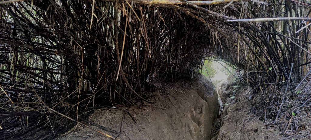
So I take the first steps and find the rope. It is definitely needed; the first few hundred meters are terrifying. Slippery clay after rain Unfortunately, there was only one rope, and after twenty meters, it ran out. Anyway, I make it to the forest, where there is an easy typical local jungle trail. 

Slippery clay trail
Guns are restricted; ok, I will follow this rule too
Trail

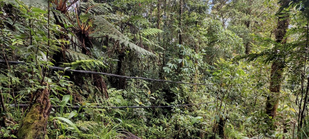
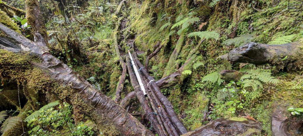
The power line along the trail goes all the way to the summit

A high-voltage (at least, that’s what it looks like) cable runs practically from the bottom to the summit. It is often suspended from poles, but occasionally it is on the ground, and I need to step over it.

Berries..
Wood anemone (Anemonoides quinquefolia ??)

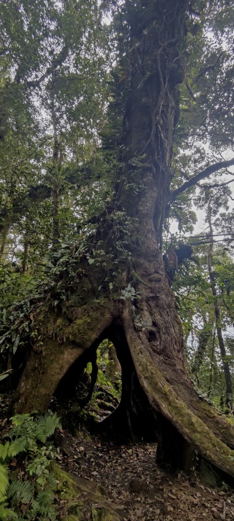
Trail through a tree

Not far from the lake, the path passes through an open area
Camp site and Gunung Marapi in the background
Lovely trail
Some parts of the trail require one to climb over the trees.
Not so fast as expected…
The trail is knee-deep in mud in some places
Nice, prehistoric feeling (however i don’t know how it could feel)
3D hiking
The trail is missing only a few meters long snake

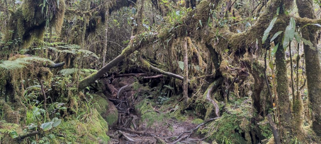
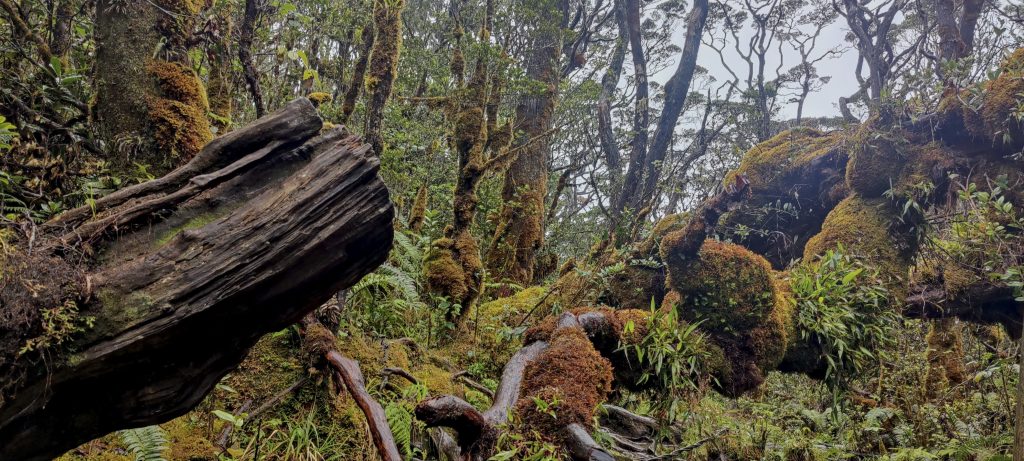
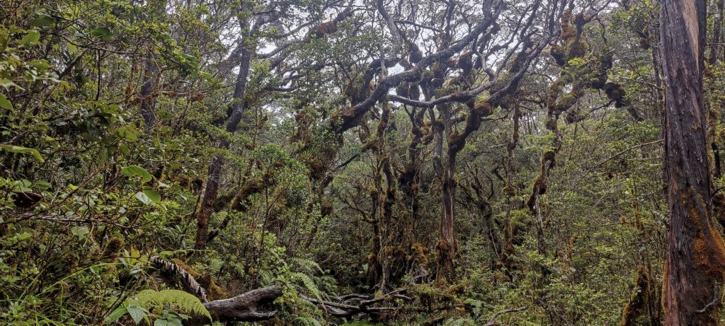
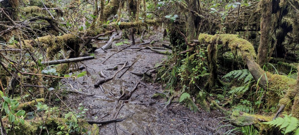
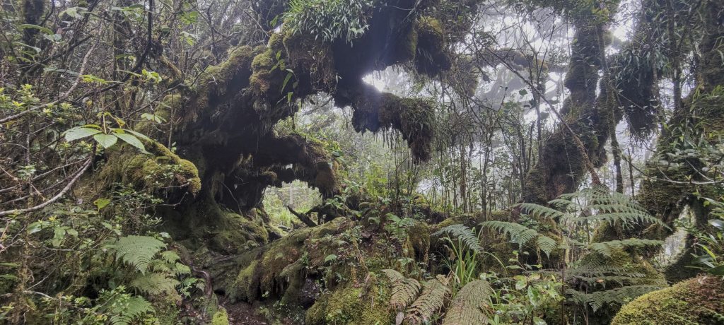
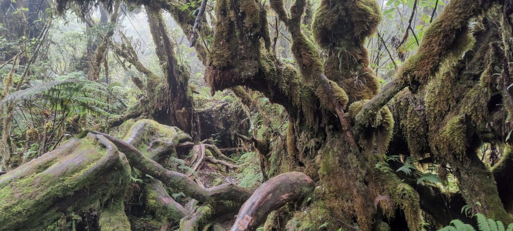
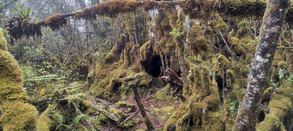
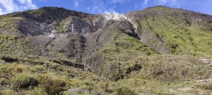
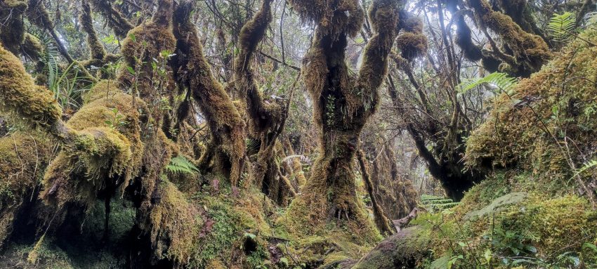
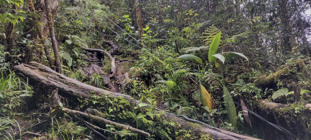
From the lake to the summit, there is just over half a kilometer of spectacular jungle. It’s all moss-covered, with many fallen trees. The fact that there is a trail is a real saving grace, but if there wasn’t, I think I could forget the summit.

Some logs to cross 
An awful summit with communication masts

Much to my surprise, after breaking through the prehistoric jungle, I find an enclosure at the top, with antennas behind the fence. I knew about the antennas, but the path to them is really surprising, and there is a radio playing inside. Fog, moss, fallen trees, and music from the radio. It’s like the beginning of a film…

“Golden Gate Bridge”

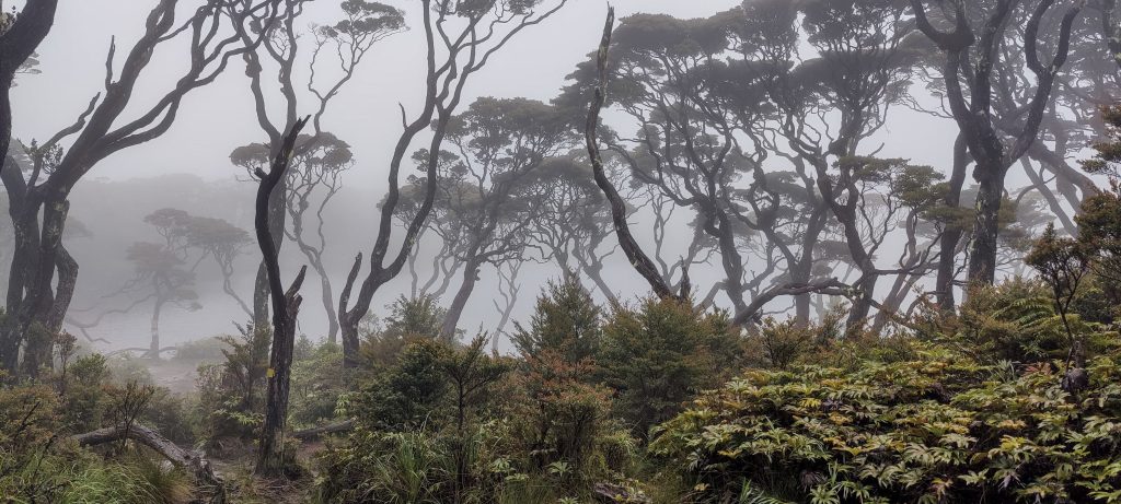
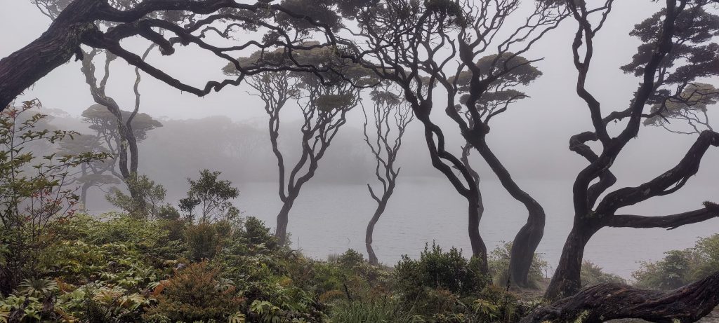
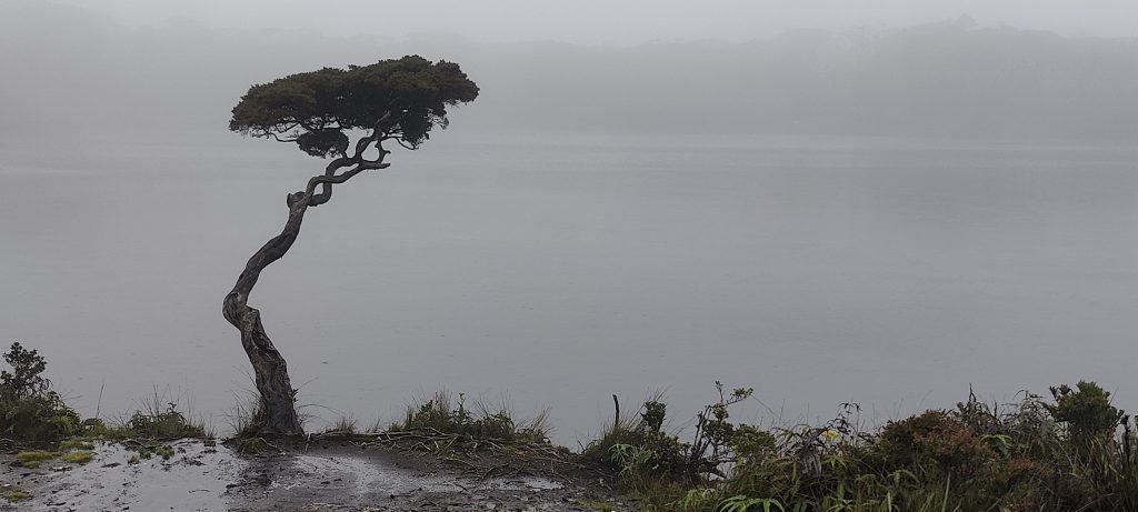
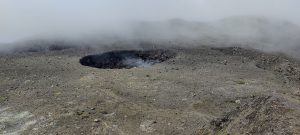
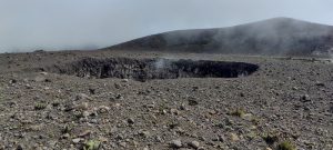
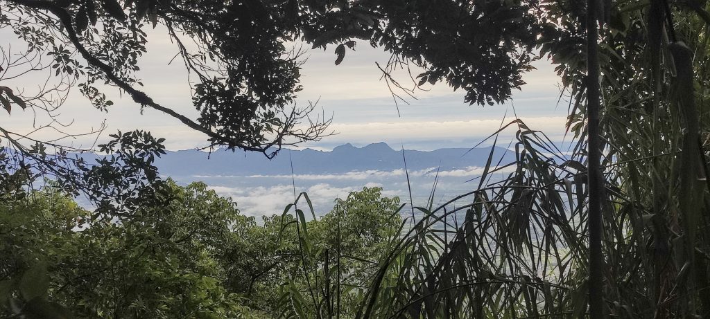
Lake, where the woman’s name is forbidden to be pronounced loudly. Taboo is taboo, and I’m keeping the rule.

Dipteris conjugata ??
From Wikipedia – “The siamang starts its day by calling in the early morning; it calls less after midday, with the peak of the calls around 9:00 to 10:00 am.”
View to the flatland
The path I descended is often marked with a sign

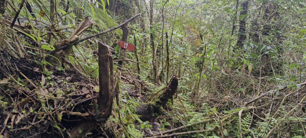
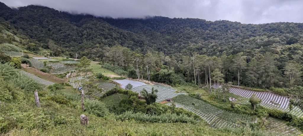
I go down the same trail, but at one campsite, I notice a fork. I don’t want to go, but I decide to try it. Apparently the reluctance to descend on the slippery clay at the end of the trail is to blame. Surprisingly, the decision is correct. I arrive at the “officially” marked trail, which is a little steep in places but otherwise fantastic and easy to follow. The markers go from the summit all the way to the cultivated fields. If I remember correctly, the one at the top was #39, and the last one I found at the bottom was #4. Anyway, I could recommend this trail for both ascent and descent. At least suspicious cables will be avoided.

Sphaeropoeus hercules ??

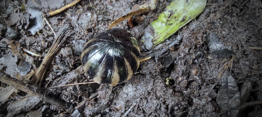
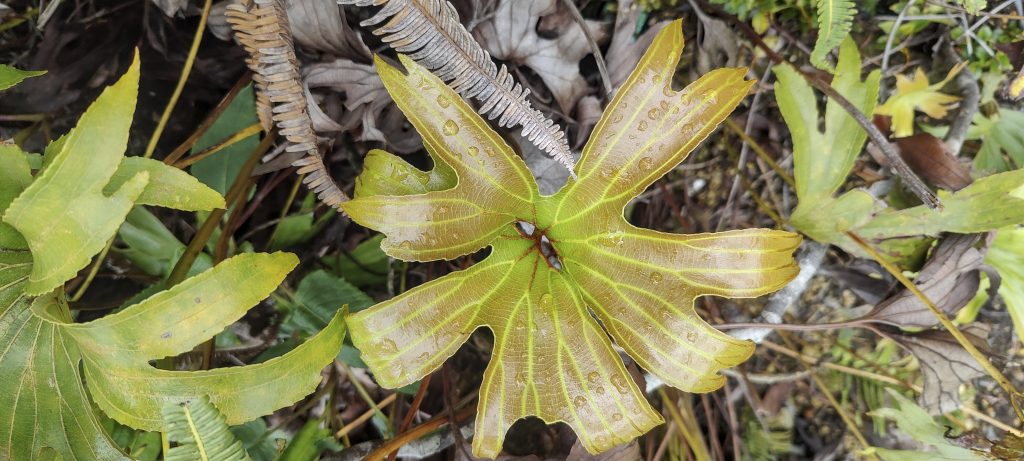
Sphaeropoeus is a very interesting creature. When frightened, it curls up into a ball and rolls down the hill. A great strategy to escape from your enemies. 

At the foot of the hill, there are many cultivated plots where practically everything grows
Chili, tomatoes, and again, chili
Main transport
Gates to the village

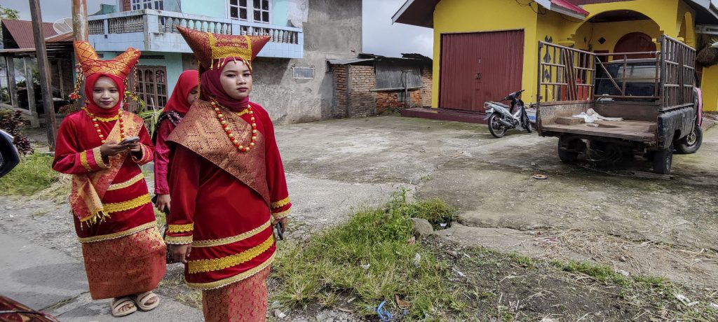
There was some kind of celebration going on in the village, as a large number of well-dressed people headed towards it. If our driver is to be believed, a new village leader was elected. Soon Rob arrived; he came down from his mountain at a similar time, and we drove to the hotel in Bukittinggi.

Ladies dressed up for the party

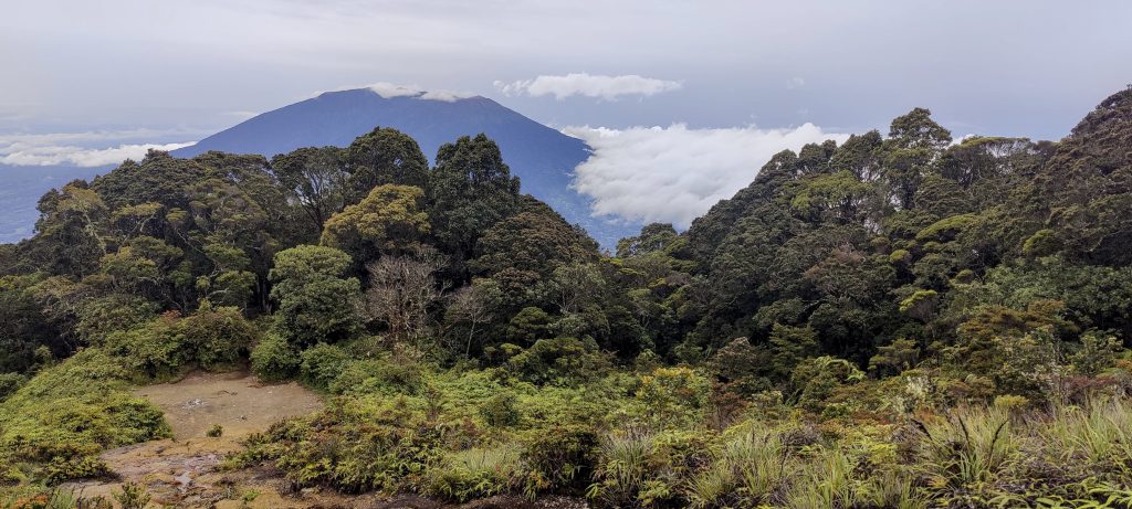
Another Indonesian ultra summit. Great! I descended a few hours earlier than planned.. The mysterious Gunung Marapi and its highpoint Puncak Garuda awaits us tomorrow… mysterious because we don’t know if we’ll make it through the jungle to the actual summit. 


Singgalang 2877 m altitude
1723 m prominence
15.89 km isolation
Ranges Asia – Malay Archipelago – Sumatra
Countries/regions Indonesia – Sumatera Barat
Distance 5.50 km up 5.50 km down
Elevation 1377 m gain 1377 m loss
Time
4h10 up
0h05 other
3h10 down
7h25 total
Trailhead 1499 m altitude -0.3944720, 100.3639720
Difficulties

muddy and very slippery trail after the rain; at the start, maybe a hundred vertical meters were really slow and hard

Links GPX trail
  • Malay Archipelago III 2022
  • « Talang
  • Gunung Marapi »

Mountain Ranges

Anatolia
Taurus Mountains
Western Anatolia
Andes
Puna de Atacama
Atlas Mountains
High Atlas
Northwestern Atlas
Central America Ranges
Costa Rica-Panama Ranges
Central Central America
Eastern Europe Ranges
Southeast Baltic Plains
Iberian Peninsula
Cordillera Cantabrica
Castile Ranges
Portugal-Galicia
Pyrenees
Malay Archipelago
Java
Nusa Tengarra
Sulawesi
Sumatra
Northwest Europe
Great Britain
North France-West Rhine Area
Southeast South America
Pampas
Sierras de Cordoba
West Africa Mountains
Bight of Benin
Cameroon Mountains

Countries / regions

Algeria
Ain Guezzam
Ain Salah
Aïn Témouchent
El Bayadh
Ghardaïa
Oran
Ouargla
Saïda
Sidi Bel Abbès
Tamanrasset
Argentina
Catamarca
Ciudad Autónoma de Buenos Aires
Córdoba
Jujuy
Salta
Tucumán
Belgium
Flemish Region
Brussels Capital Region
Cameroon
Southwest
Costa Rica
Alajuela
Cartago
Guanacaste
Heredia
Limón
San José
Czechia
Prague
Denmark
Greenland
France
Hauts-de-France
Germany
Berlin
Niedersachsen
Indonesia
Bali
Jambi
Jawa Tengah
Jawa Timur
Nusa Tenggara Barat
Sulawesi Tengah
Sulawesi Utara
Sumatera Barat
Lithuania
Vilnius County
Morocco
Béni Mellal-Khénifra
Drâa-Tafilalet
Fez-Meknes
Marrakesh-Safi
Souss-Massa
Tangier-Tetouan-Al Hoceima
Netherlands
Gelderland
Noord-Holland
Nicaragua
Chinandega
Managua
Masaya
Rivas
Poland
Greater Poland Voivodeship
Masovian Voivodeship
Portugal
Castelo Branco
Leiria
Lisbon
Santarém
São Tomé and Príncipe
São Tomé Province
Spain
Aragón
Asturias
Castilla-La Mancha
Castilla y León
Switzerland
Zürich
Turkey
Antalya
Isparta
Muğla
United Kingdom
England
Scotland
United States
Delaware
Florida
Georgia
Maryland
New Jersey
New York
North Carolina
South Carolina
Pennsylvania
Virginia

TRIPS

2023
West Africa 2023 II
Iberian Peninsula 2023
West Africa 2023
Central America 2023
2022
Andes 2022
Northwest Europe 2022
Malay Archipelago III 2022
Malay Archipelago II 2022
Anatolia Mountains 2022
Iberian Peninsula 2022
Atlas Mountains 2022

archaeology (3) climb (69) food (2) hike (68) p30 (3) p100 (9) p300 (8) p600 (13) p1000 (5) p1500 (34) ribu (4) sight (34) summary (11) ultra (34)

839 km walked, 65 247 m climbed

©2023 p600.org | WordPress Theme by Superbthemes.com