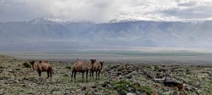
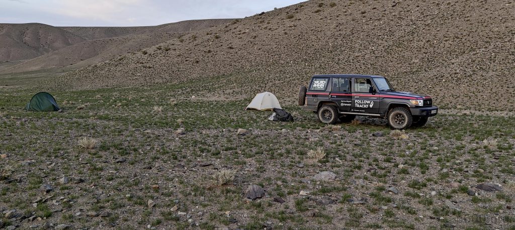
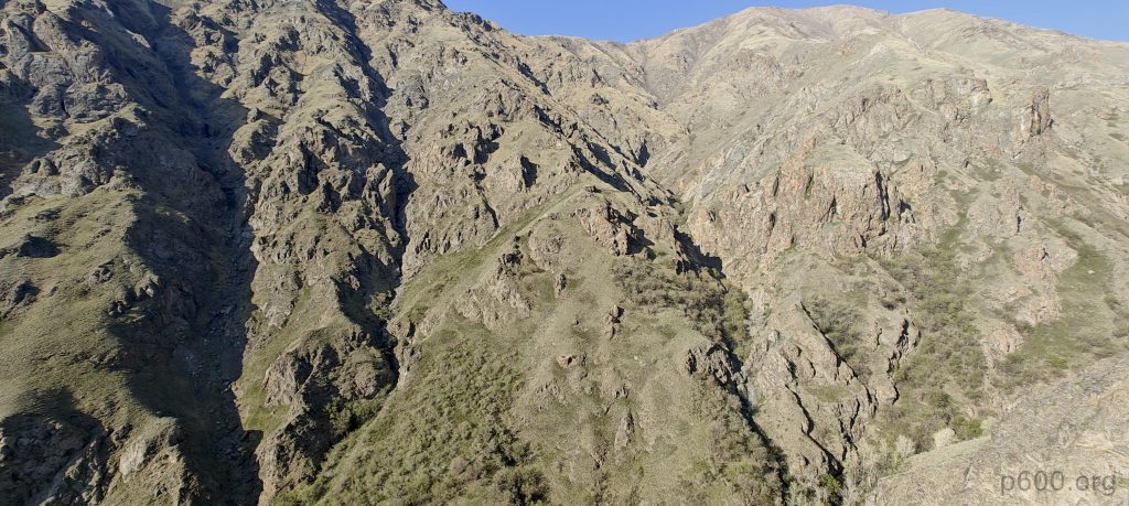
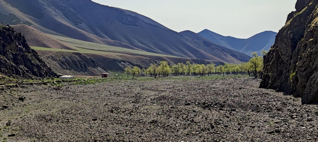
Just hours before sunset, we arrive at a valley on the east side, which, according to our map, should lead us directly to the summit. So, we believe following this valley or river, then tackling some slopes or ridges, should get us there. Yet, doubts linger, though hope stubbornly remains. We drive until the car can go no further and set up camp beside one of the steeper slopes, hopeful for the day ahead.
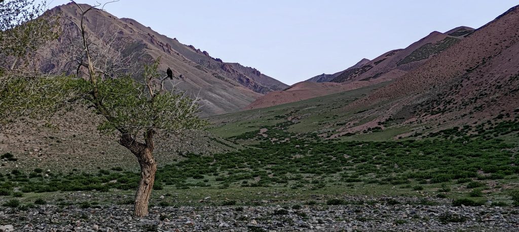
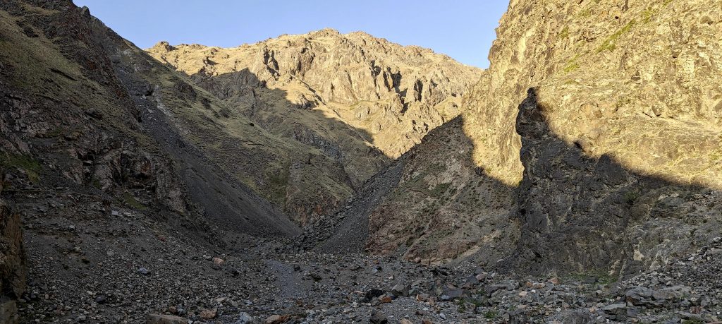
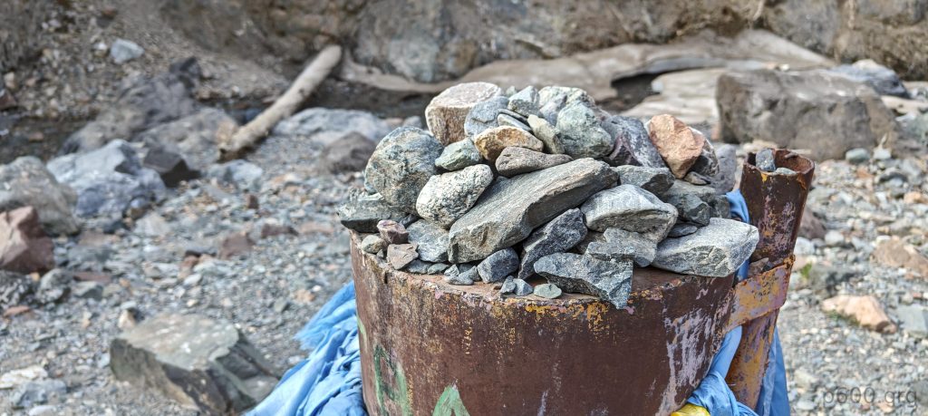
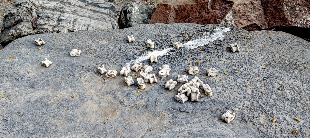
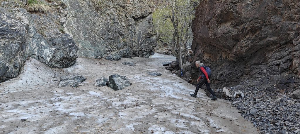
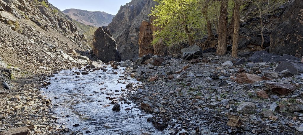
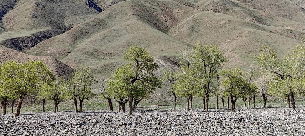
At the crack of dawn, armed with quick coffee, we set off towards the summit. Initially, everything goes according to plan; we even stumble upon a trail. But then, we encounter a shrine, adorned with a table and scattered bones, perhaps ominously hinting at the challenges ahead given our previous failed attempt from the east. Past this point, the trail disappears, and we try to follow the riverbed instead.
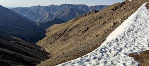
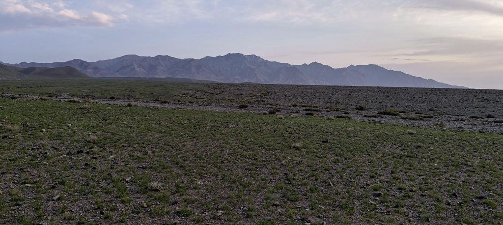
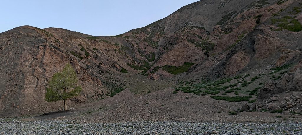
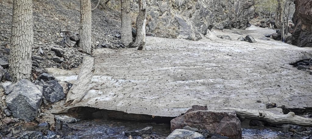
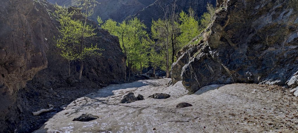
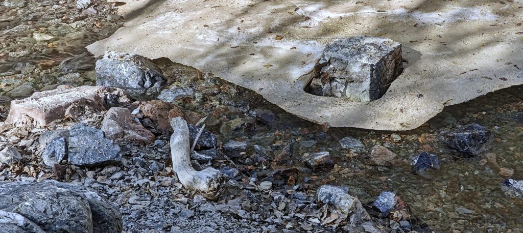
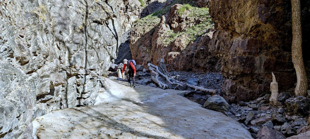
Crossing a snowy and icy patch in the river proves tricky, and the trail becomes elusive. Our focus shifts from one side of the gorge to the other, then back to the riverbed, and again to our slope. It’s a fruitless search for a clear path to the ridge. The summit, still 4.5 kilometers away, seems unattainable given the terrain. After surveying our surroundings one last time, we decide to turn back.
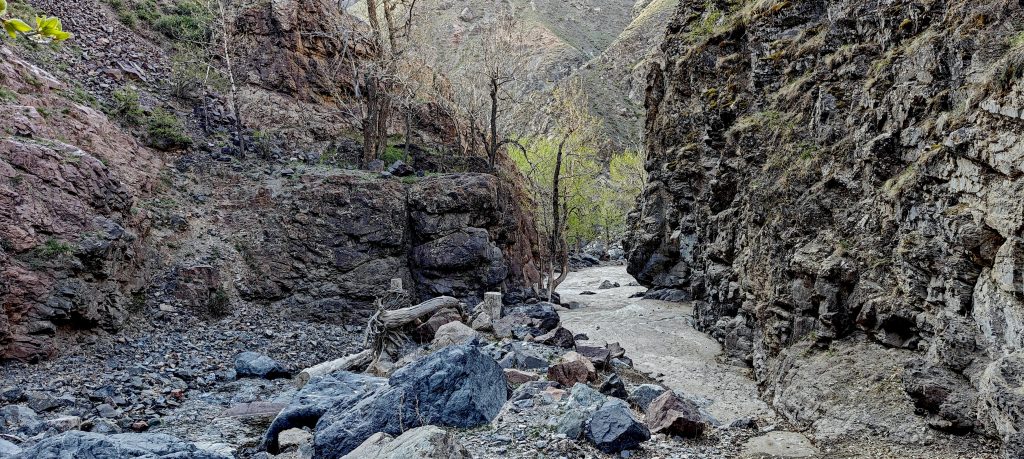
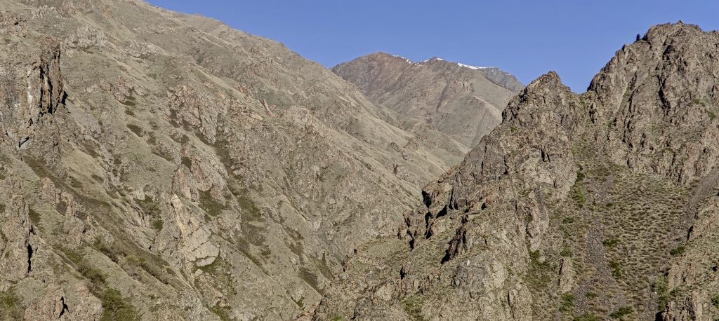
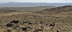
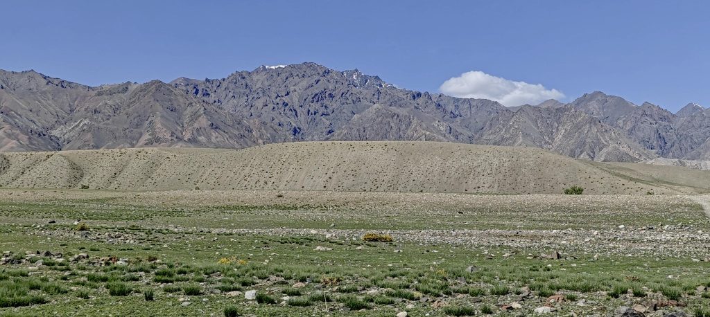
Our descent is contemplative. The slope is steep, and while we might find an animal trail lower down, it’s likely we’ll lose it quickly. The opposite gorge seems just as steep, and bush-dense riverbed walking isn’t an option. Trying another slope? Impractical. So, we head back to the car, mulling over our next move: another attempt from a different side or skip it altogether.
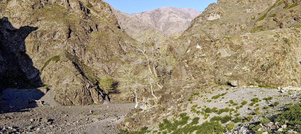
Back in the car, a new lead emerges. The Gaja map reveals a camp to the west of the peak, unnoticed before due to its zoom-specific visibility. This discovery reignites our hope, suggesting a drivable route all the way to this western camp.
With renewed determination, we face the challenge of navigating hundreds of kilometers on major roads, potentially adding a day to our journey. But, it’s still early, giving us a whole day for this driving adventure. Pouring over satellite images, we plot a course filled with waypoints marking various car tracks.
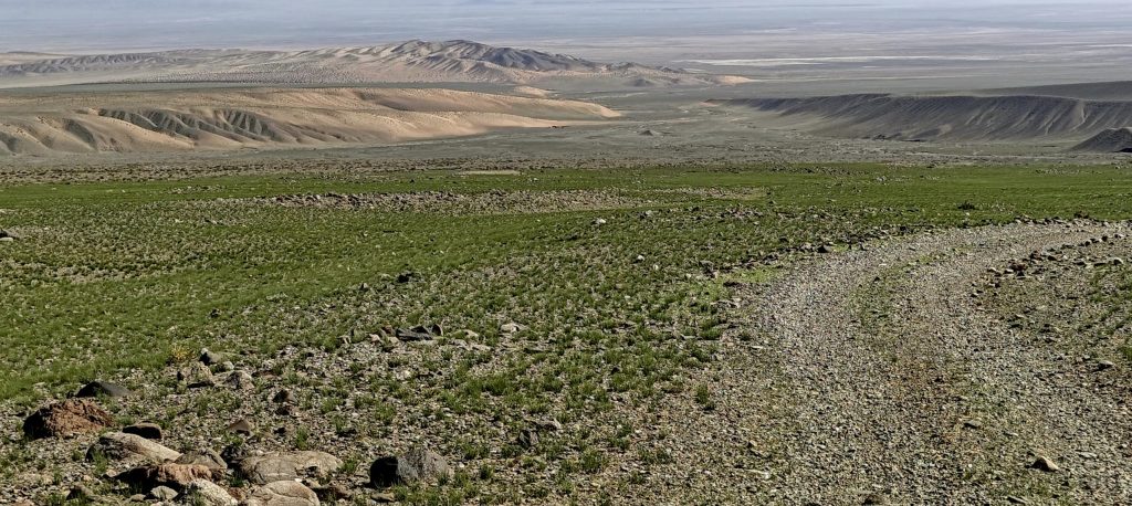
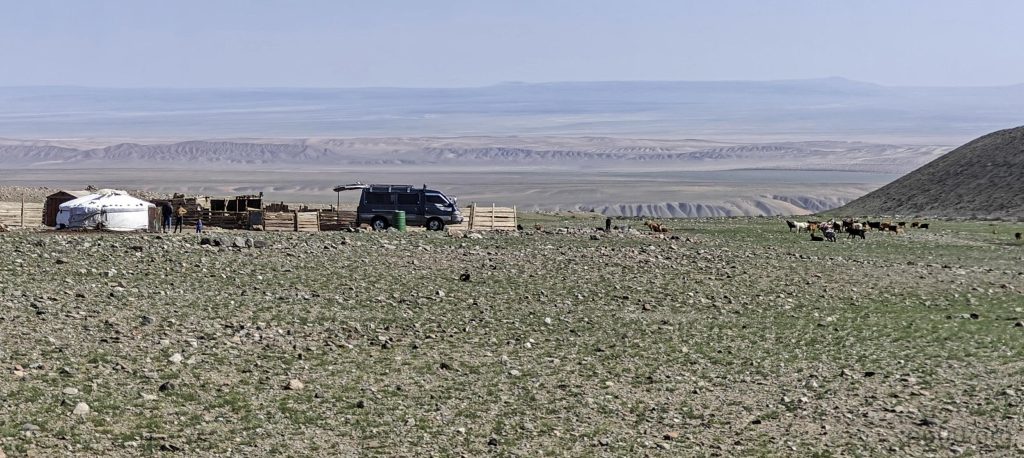
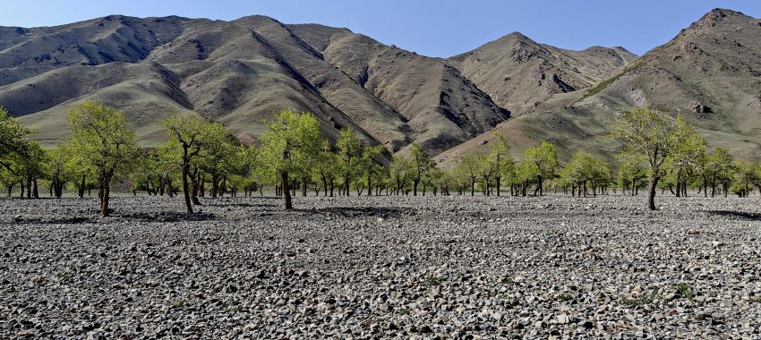
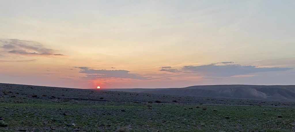
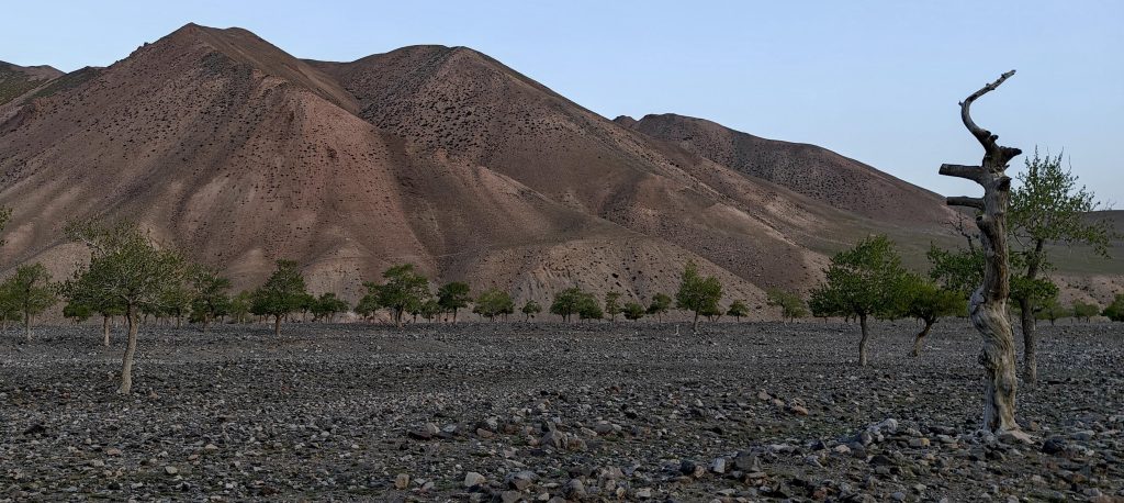
After an arduous journey of 140 kilometers off-road and another twenty along the riverbed, we finally park at the camp, now significantly closer to the summit than we were in the morning. Tomorrow, we’ll attempt Myangan Yamaat again, this time from a vantage point filled with newfound hope.