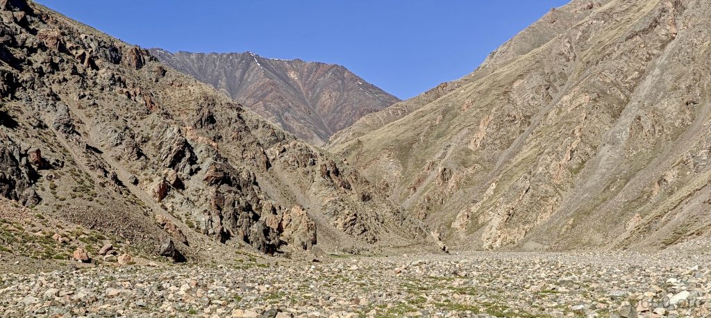
Yesterday’s failed attempt to summit Myangan Yamaat peak turned out to be a blessing in disguise. Retracing our steps, we stumbled upon a beacon of hope: a camp spotted on a map, merely 3.5 km west of our target, complete with a clear trail of car tracks visible from the heavens. Though we didn’t pop the champagne yet, our spirits soared with optimism. Armed with the belief that the road would be our yellow brick road, we set off. And guess what? Our assumptions didn’t betray us this time.
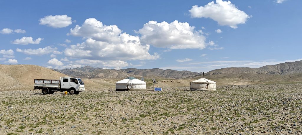
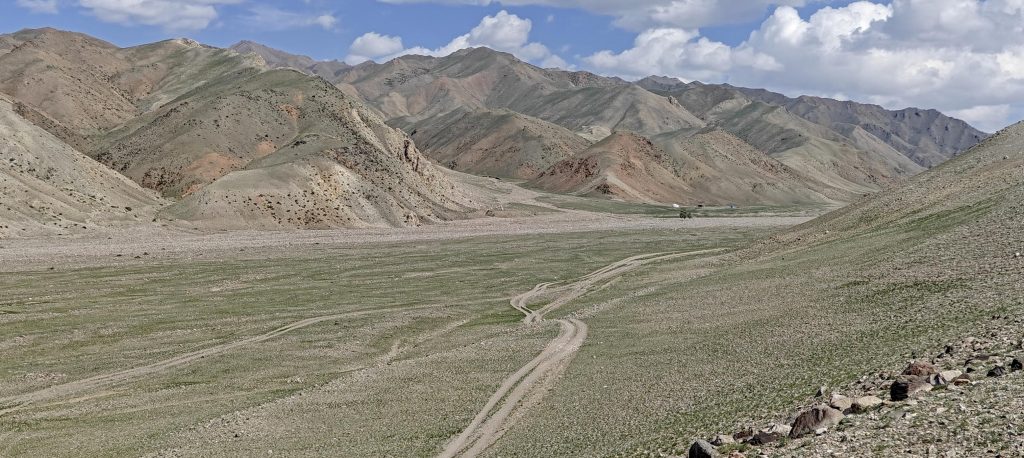
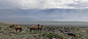
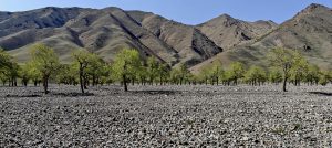
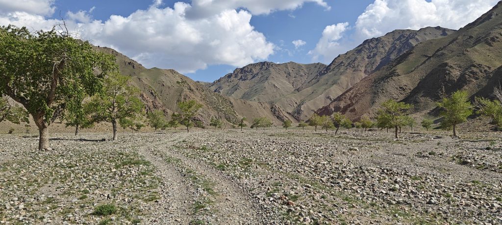
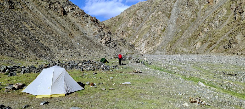
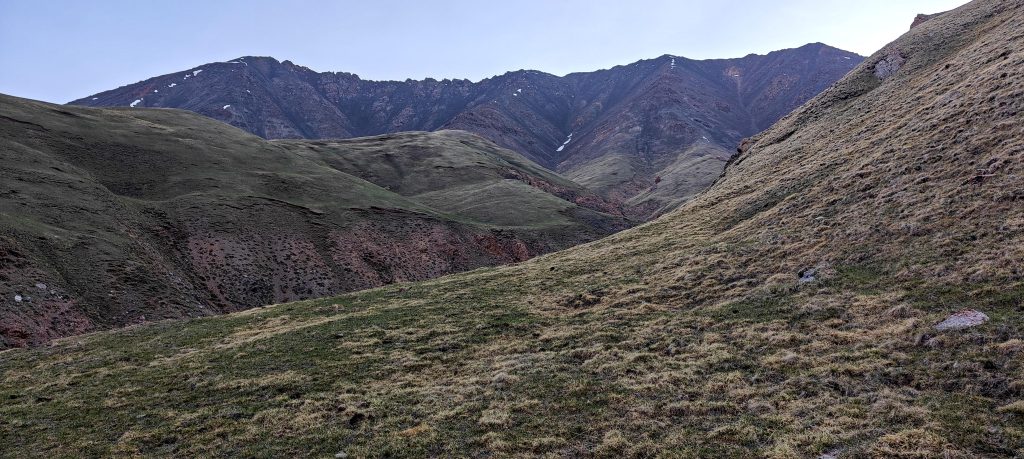
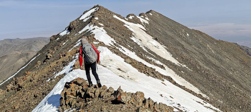
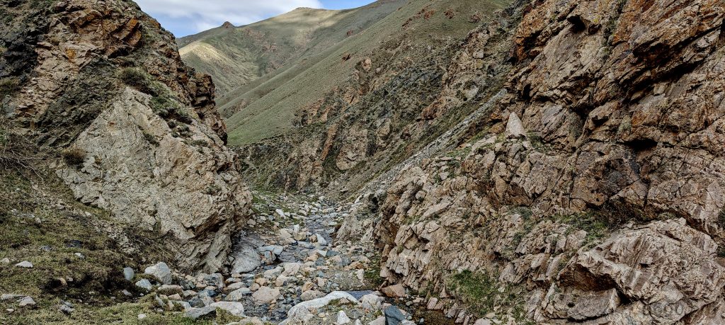
Embarking on a 140 km detour around the mountain, we followed the riverbed on what could generously be called a ‘good road’—if your definition stretches to include 4WD-friendly car tracks. Our journey ended at a scenic camping spot, boasting lush fields and a teasing glimpse of the summit, notably devoid of snow. Deciding to trust our eyes, we ditched the crampons and ice axe, betting on a lighter load for the ascent.
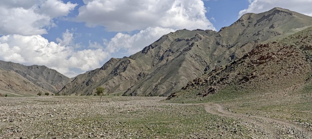
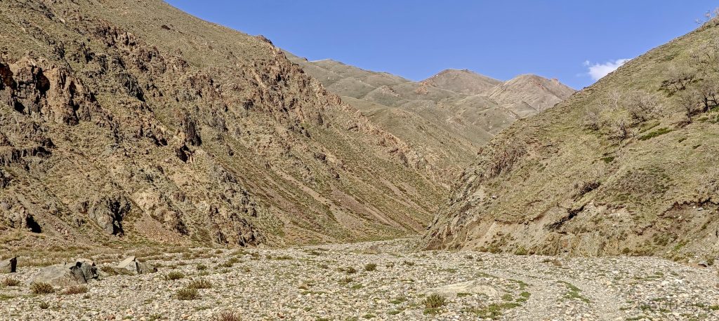
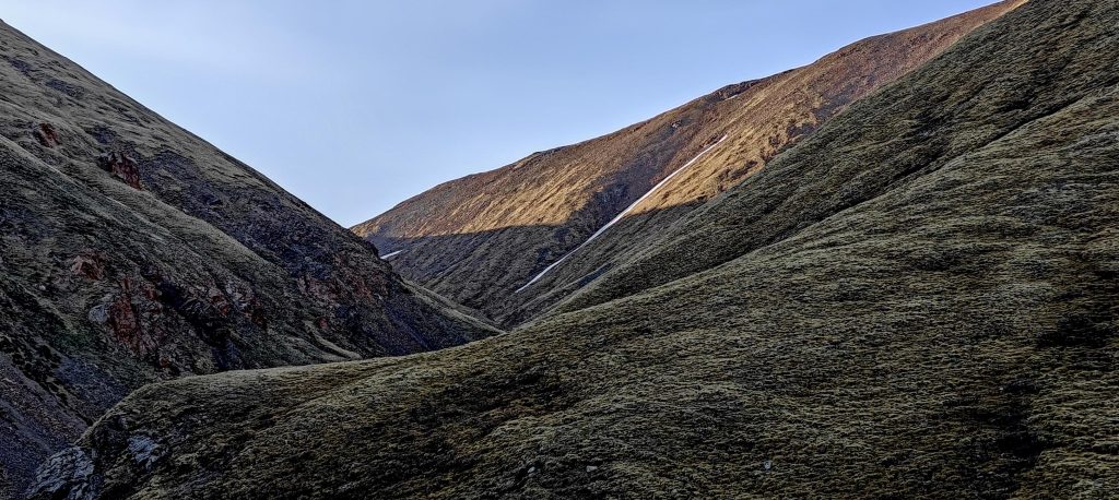

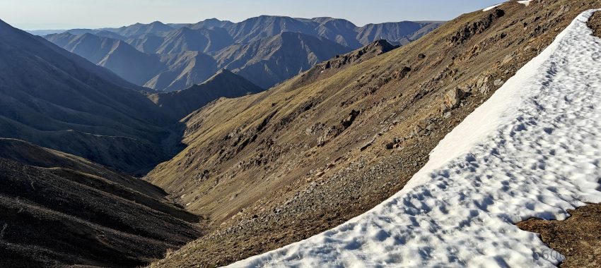
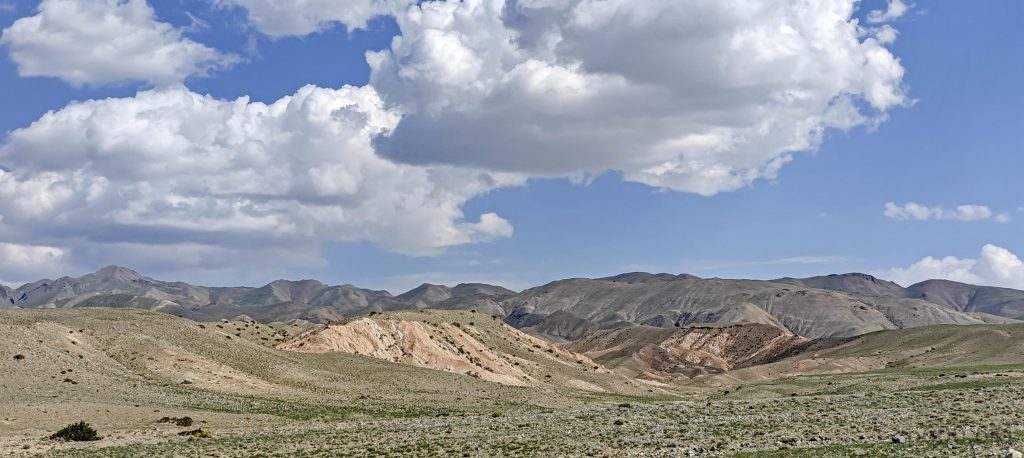
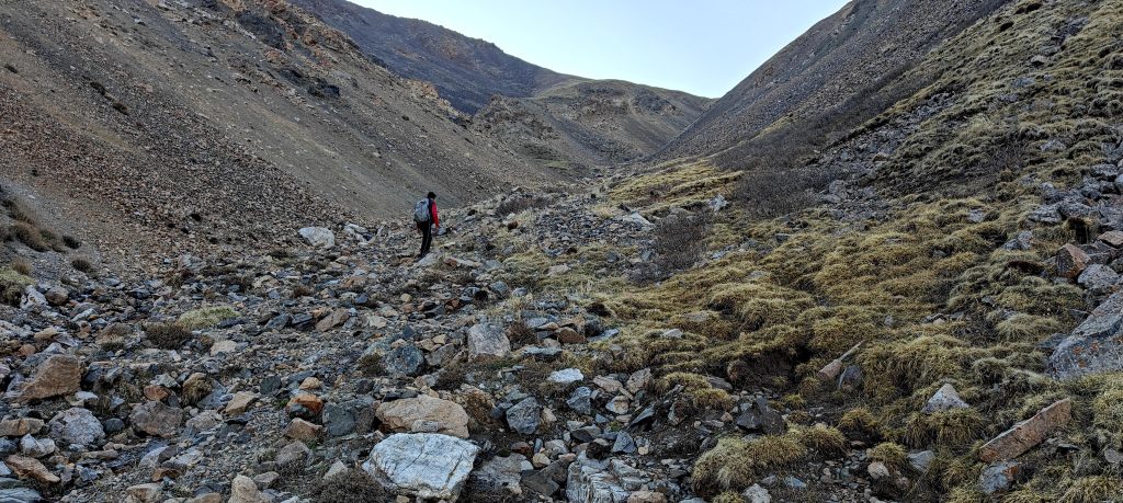
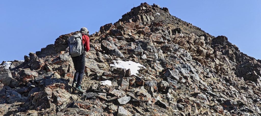
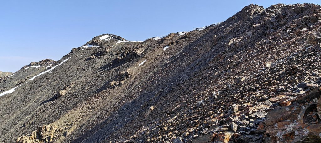
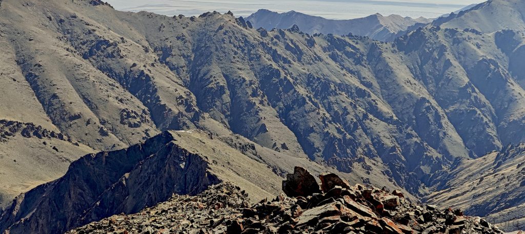
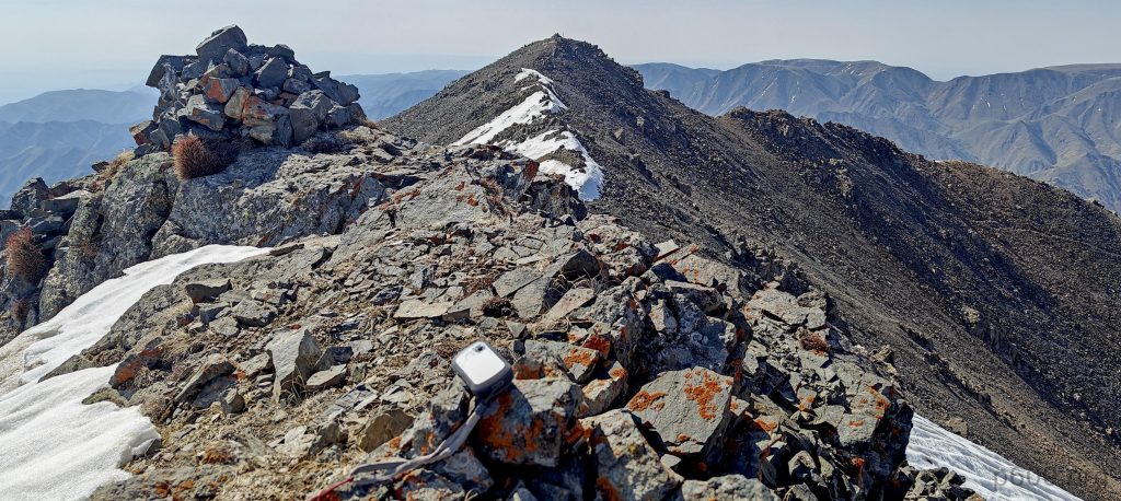
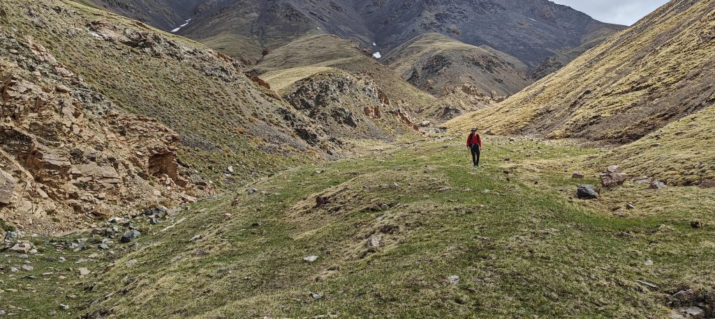
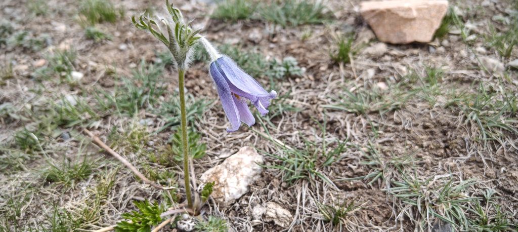
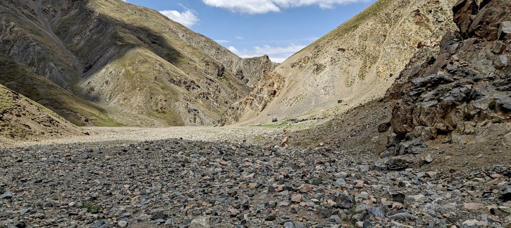
Cracking dawn with a quick breakfast, we launched our summit sequel. The route was straightforward, mostly a gentle stroll up a riverbed, followed by a modest climb to a slope leading us to the ridge. Here, the world opened up before us, offering panoramic views and a clear path to victory. The summit beckoned, snowless and within reach, debunking our need for extra gear.
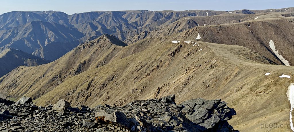
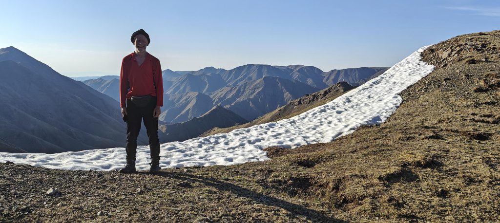
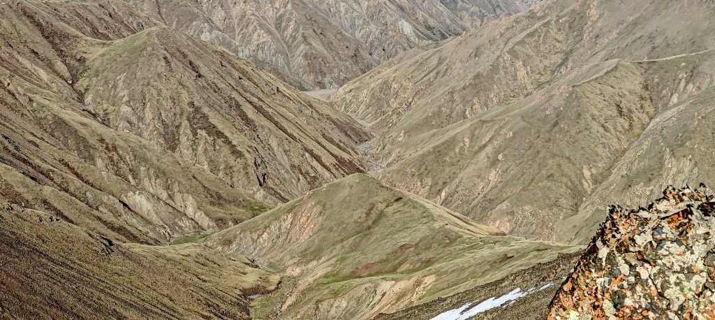
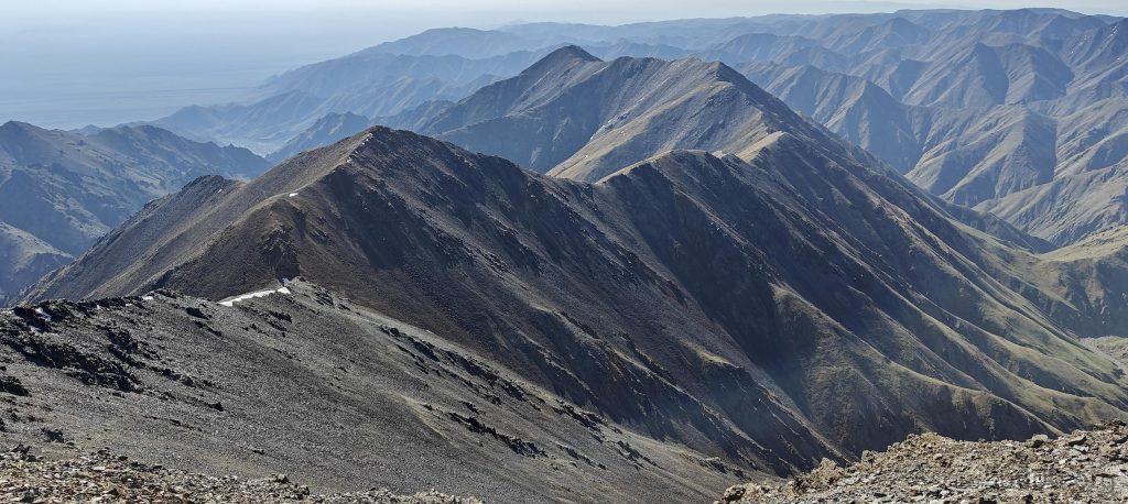
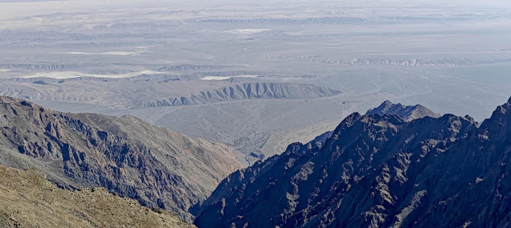
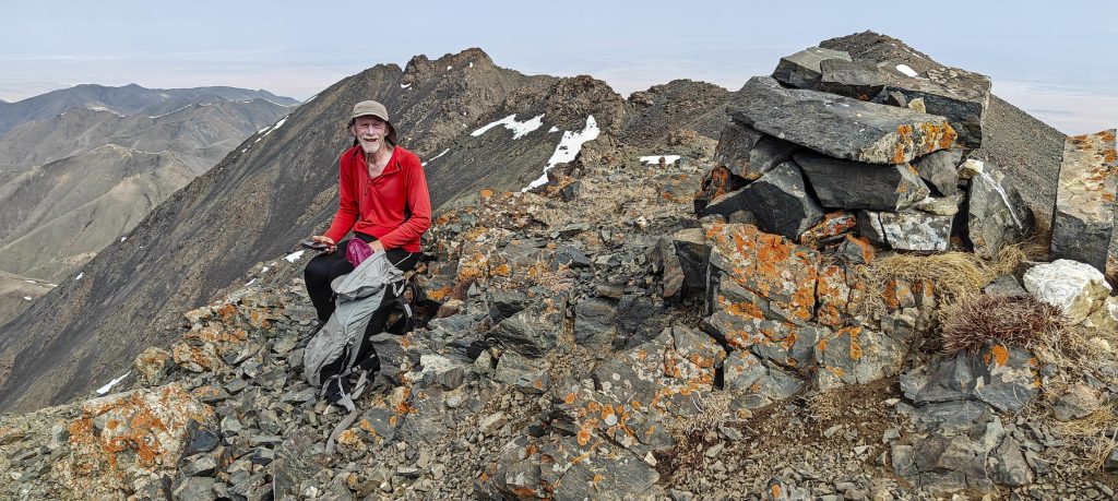
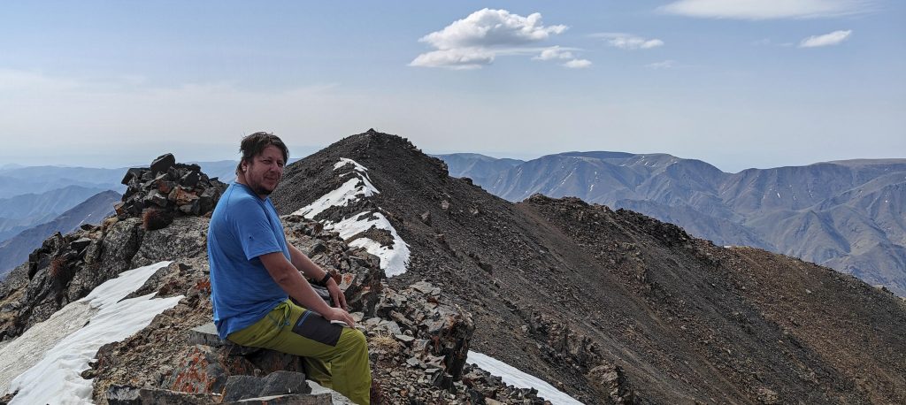
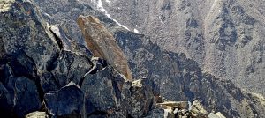
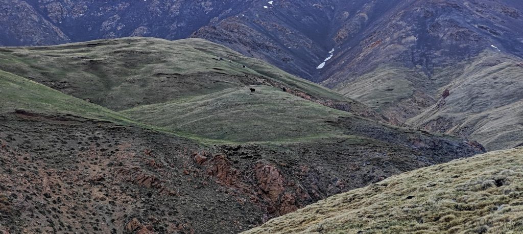
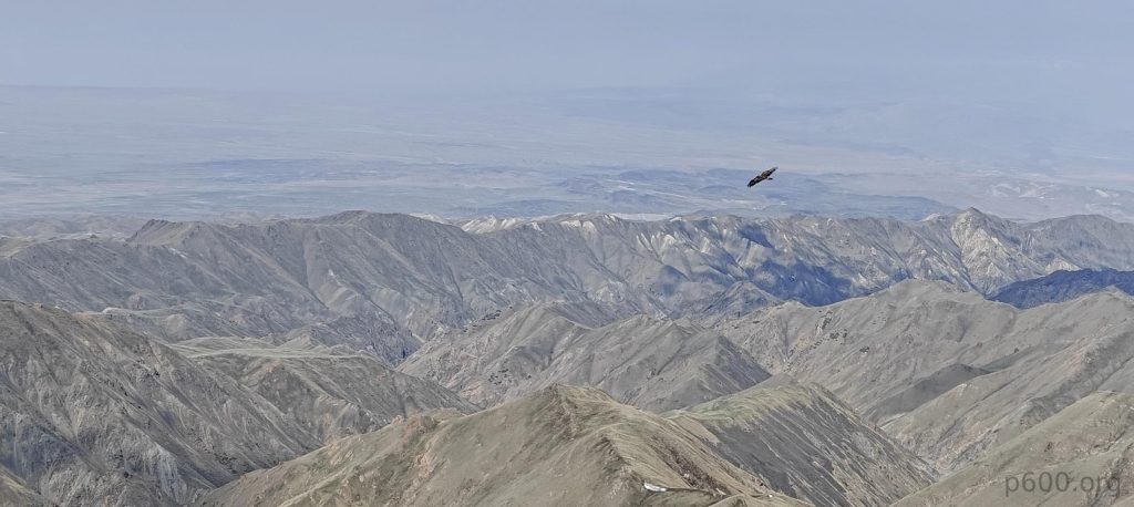
Cairns mark both of the summits, and the vistas from the peak are exceptional. We have the ability to observe the ridges from the east side where we made our previous attempt to ascend yesterday. While it appears achievable, it would certainly involve more time and a more intricate route. Following a brief pause at the summit, we commence our descent along the identical route.
Descending the same path, we reflected on our journey. Two Mongolian ultra peaks under our belt, a testament to overcoming doubts and the unpredictable. Yesterday’s setback morphed into today’s success story, setting the stage for our next challenge: Tergun Bogd. Here’s to the unknowns turning into victories, one peak at a time.