Skip to content
Menu
p600.org
  • home
  • map
  • trips
  • about
p600.org

Pico de São Tomé

hike | 2023-02-03
2024 m altitude, 2024 m prominence, 405.92 km isolation

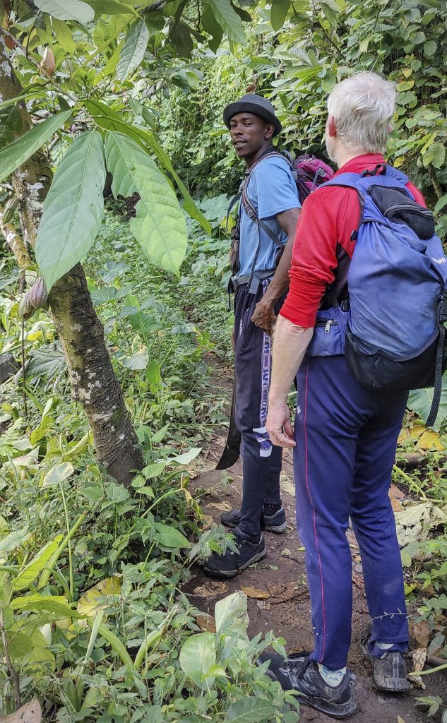
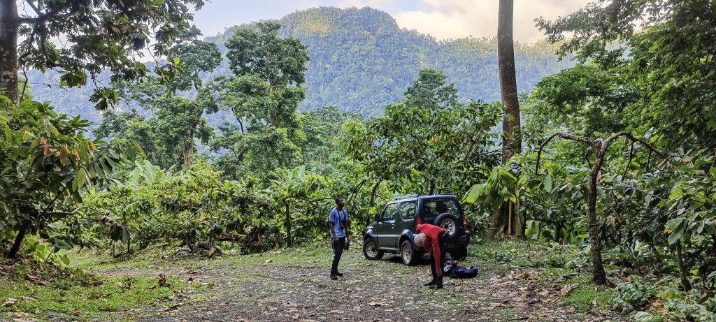
The hotel offered us an early breakfast at 5am, but we politely declined as we were afraid it would take too long. We then drove for almost an hour to a resort where our guide, Zezito, was supposed to be waiting for us. When we arrived, the gates were locked and no one seemed to know anything about Zezito. We then went to the nearby village of Ponta Figo and asked around, only to find that everyone knew Zezito, but no one knew where he was. Finally, his family told us that he is waiting for us at the hotel. After checking again and finding no one there, we decided to walk and soon a motorbike with Zezito on it approached us – he only spoke Portuguese and French! We said bonjour and drove along a cobbled road to the start of the trail.

Momordica charantia, commonly known as bitter melon, Goya, bitter apple, bitter gourd, bitter squash or balsam-pear (among many other names), is a tropical and subtropical vine of the Cucurbitaceae family
Cocoa beans are one of the main products of São Tomé and Príncipe
There is an aqueduct under the bridge
Pretty good road up to the old coffee farm ruins
Zezito with Rob (left)
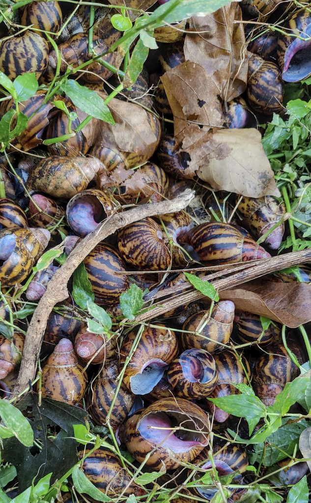
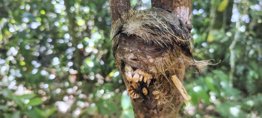
Pile of eaten snail shells (right)
Zezito is a very good and helpful guide
The Rubiaceae (??) family is commonly referred to as the coffee, madder, or bedstraw family
Yellow creature, I had no great desire to investigate exactly what it was

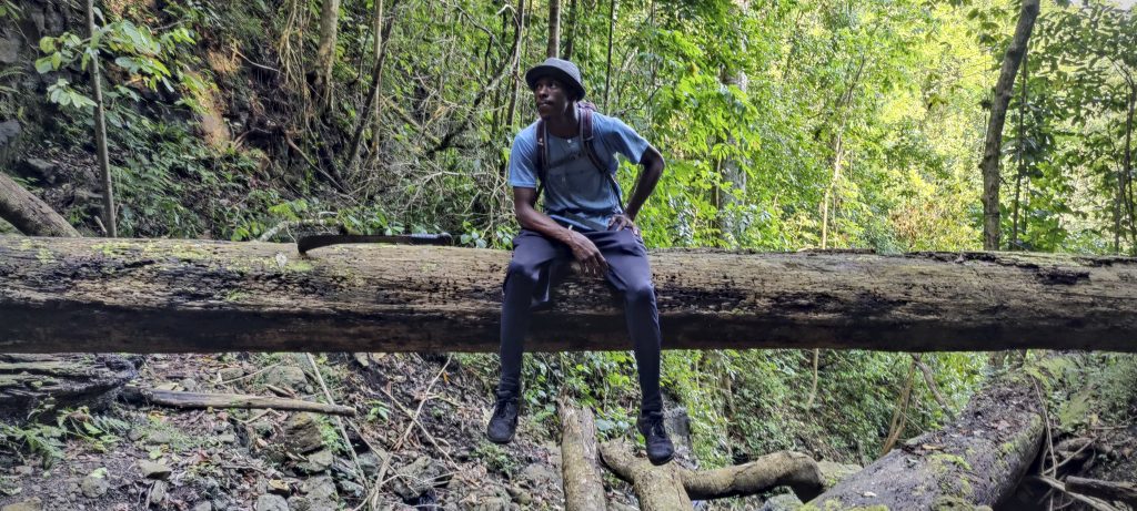
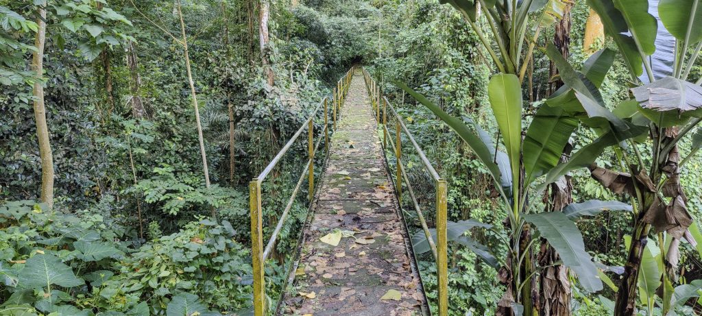
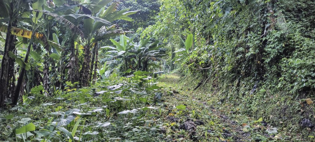
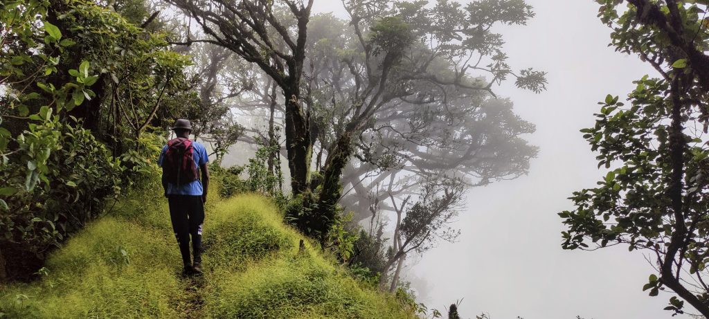
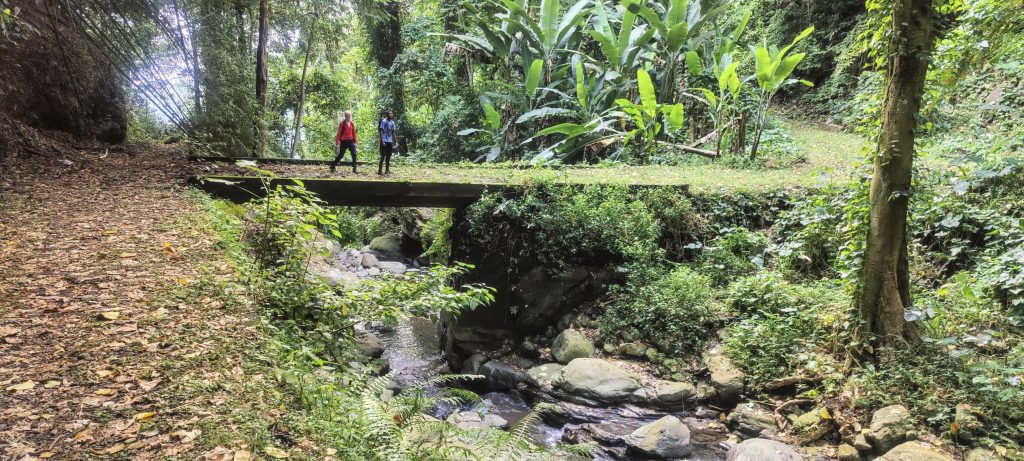
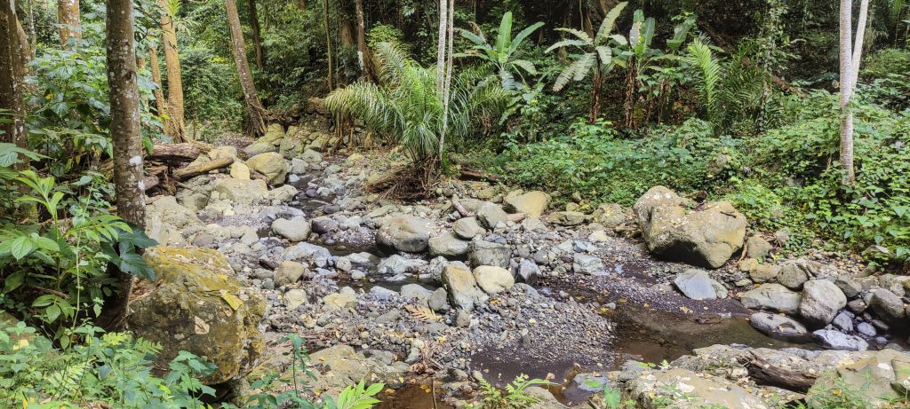
After a few miles we parked, changed and were ready to go. To our delight, Zezito gave us boxes of food for dinner. We began our walk through the plantations, taking shortcuts between the serpentines of an old road to the ruins of a former coffee farm. Easy and comfortable walk

Rare glimpses of the nearby mountains
Zezito (left) and Rob (right) taking a short break
Rhododendron, Melastoma malabathricum ??
Begonia molleri ??
Rob on the lower summit of Pico Pequeño
Lovely grassy jungle on the ridge
A lot of rhododendrons at the top
Steeper sections (photo by Rob)
Good visibility into dense cloud
Rob (left) and me (right) on the summit
Trig pillar with typical São Tomé inscription – 1916

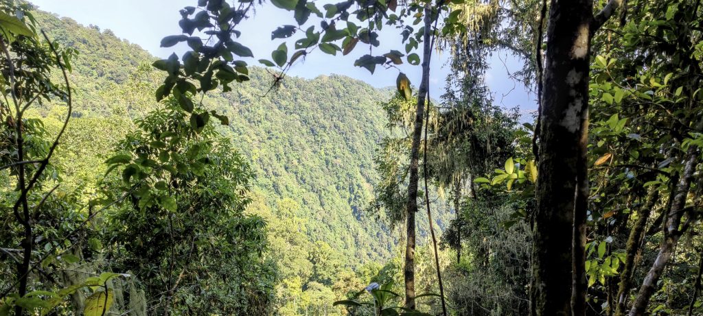
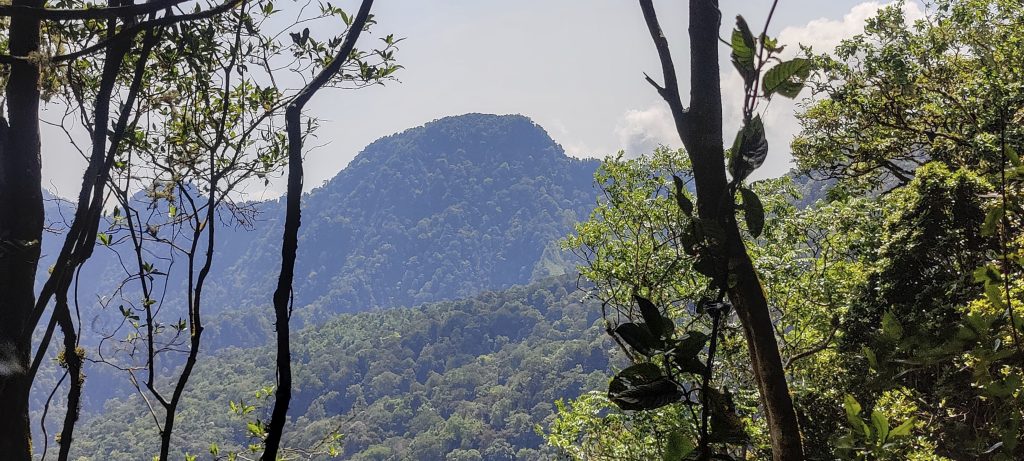
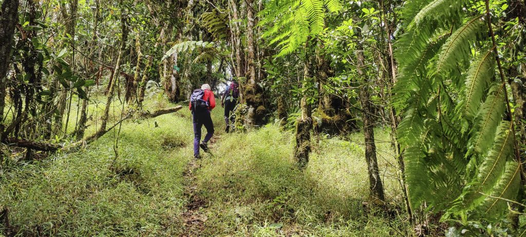
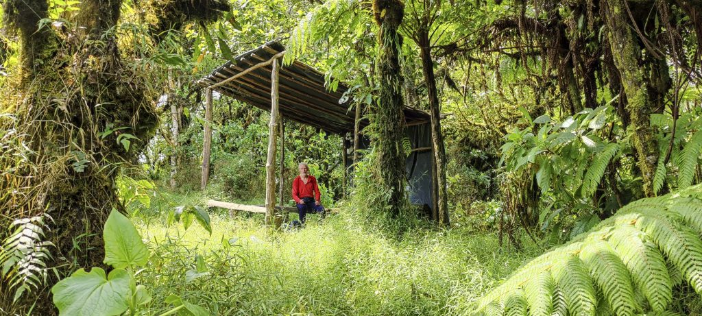
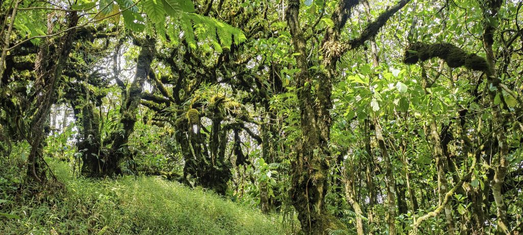
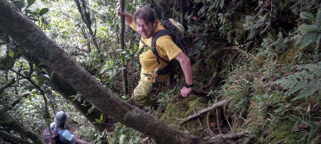
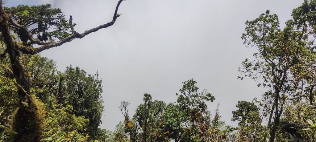
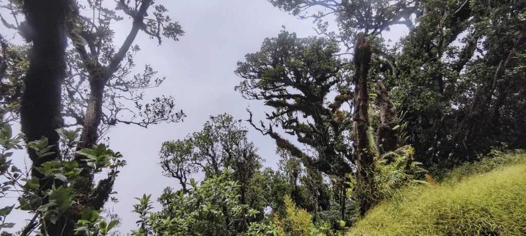
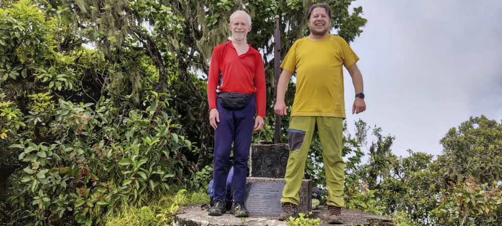
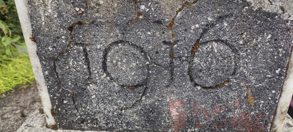
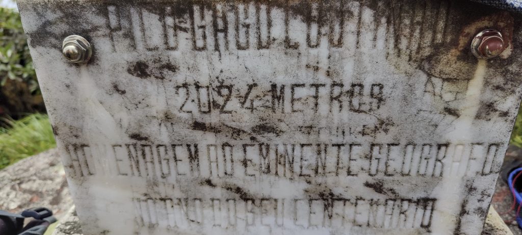
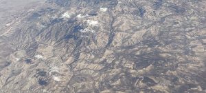
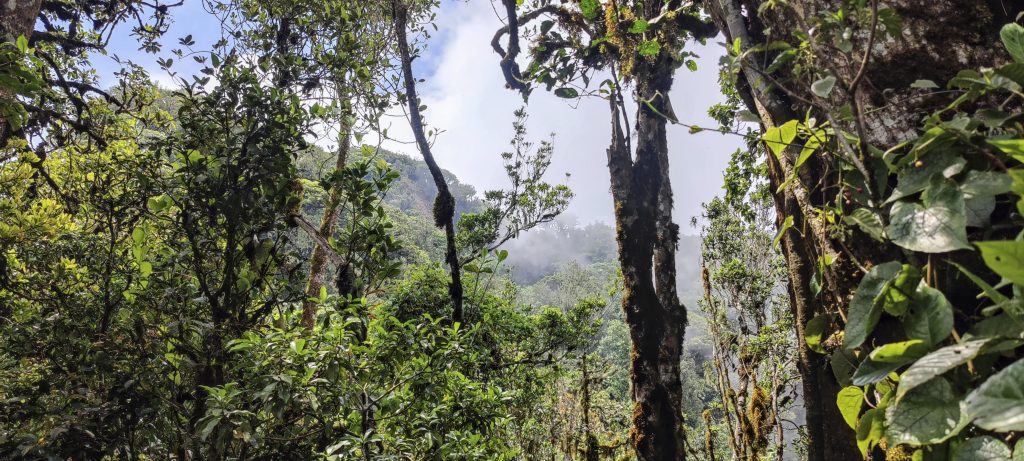
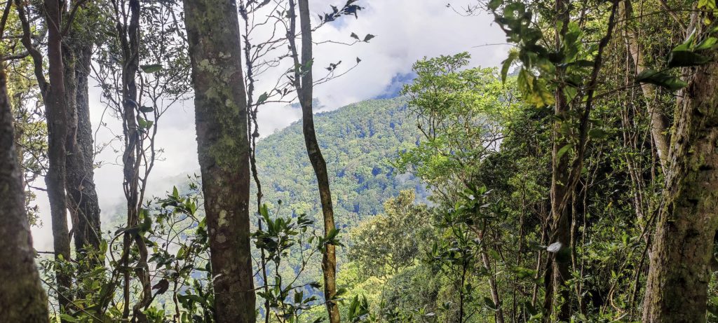
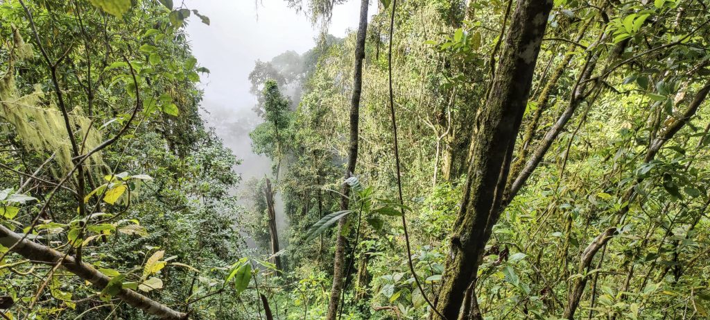
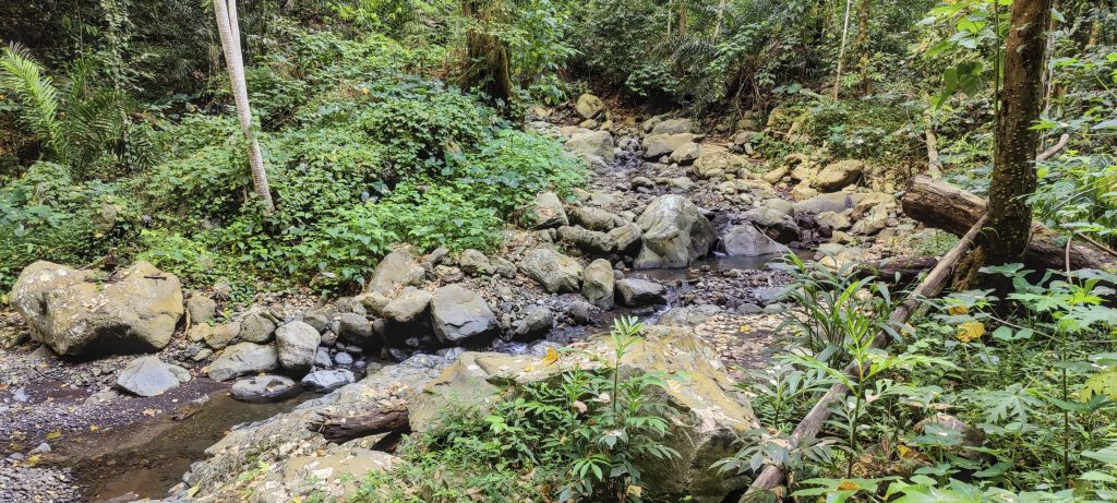
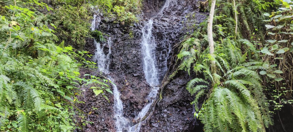
We had an interesting trail and nature to explore, but not much to see. After the ruins the path got steeper but eventually we reached the lower summit with a shelter. The real summit was 600m to the west and there was a reasonably good trail leading up to it. There was a little re-ascent and some easy root scrambling before we reached the summit, which was marked by a concrete pillar with an inscription. Like many peaks on São Tomé, it was dated 1916. After twenty minutes of enjoying the clouds and a snack at the top, we descended by the same path.

The Hypolimnas misippus also known as Danaid eggfly, mimic or diadem, is a common species of nymphalid butterfly
Cinchona pubescens, also known as red cinchona and quina
On the way down
Another quick look around
Hylodesmum repandum sometimes called ticktrefoils or tick-trefoils (left)
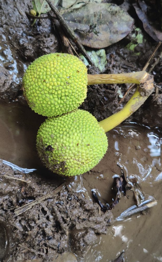
A lot of breadfruit grows on the island (right)
Official version: Poor monkey stuck between the branches, but somehow I have never seen or heard of such phenomena. Who knows.
Costus
Rotten tree
Ginger or ginger root, Zingiber officinale
Walk along the stream with bridges

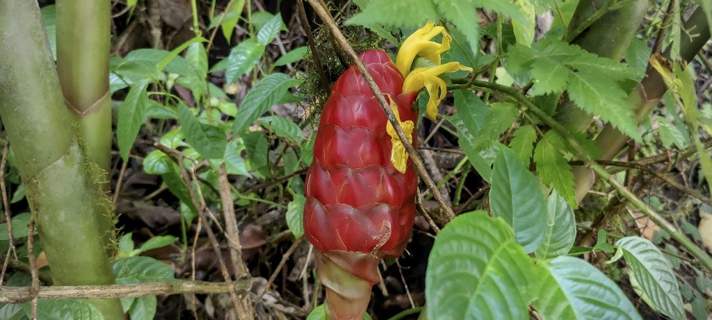
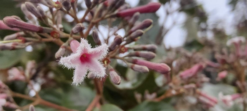
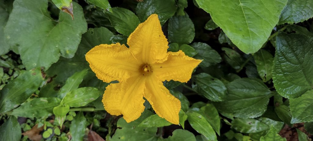
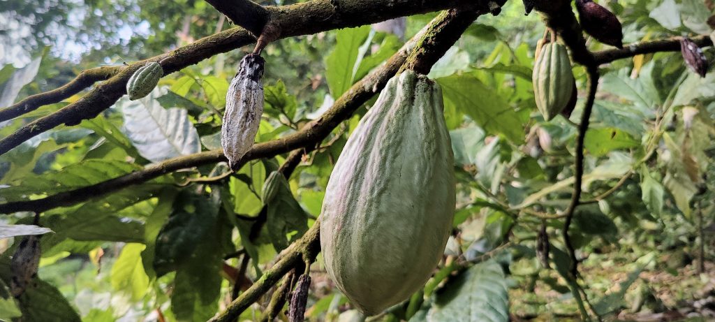
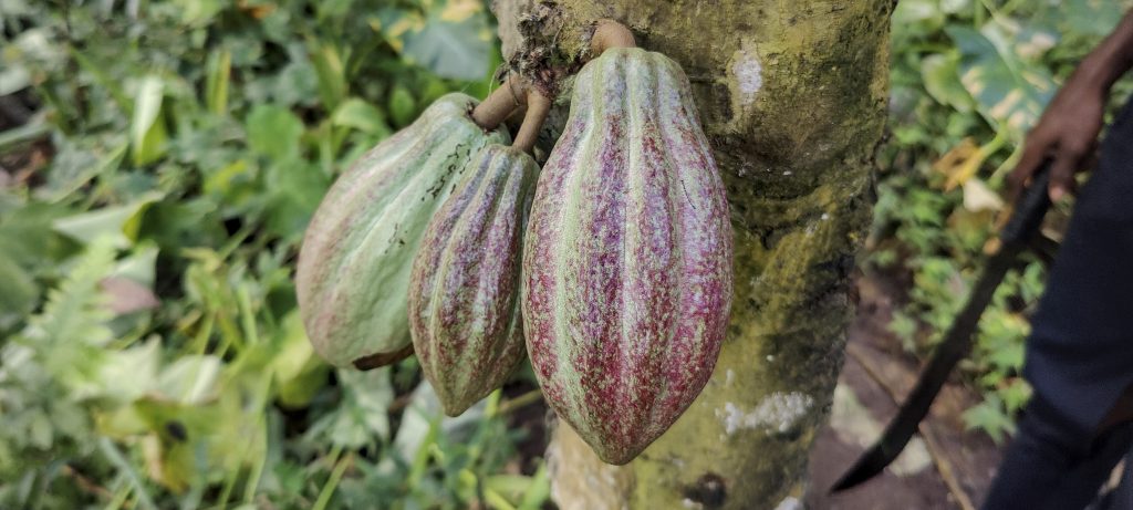
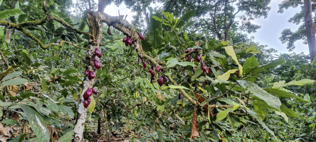
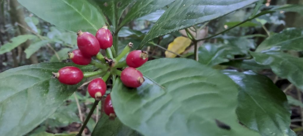
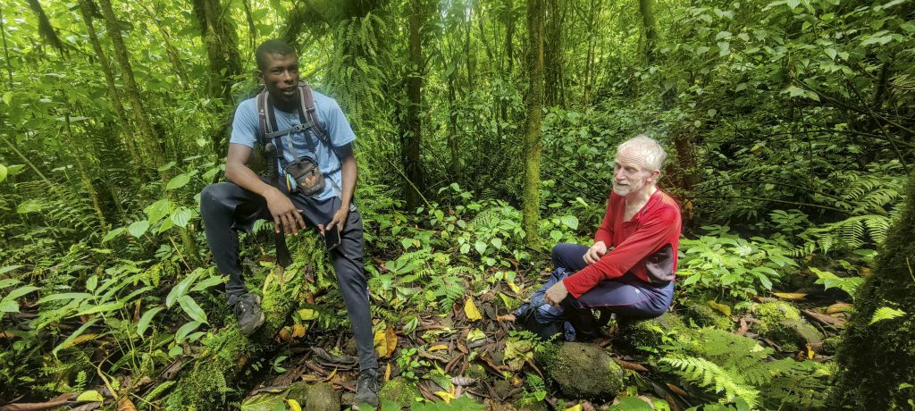
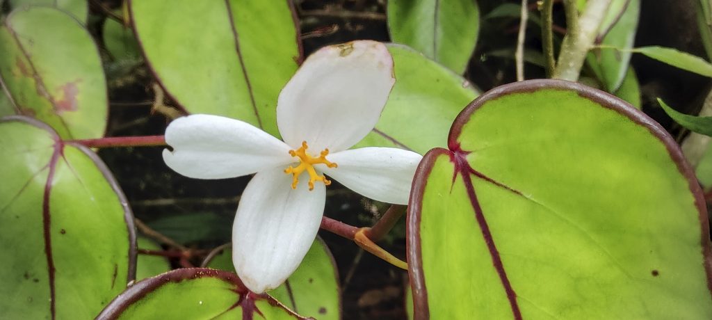
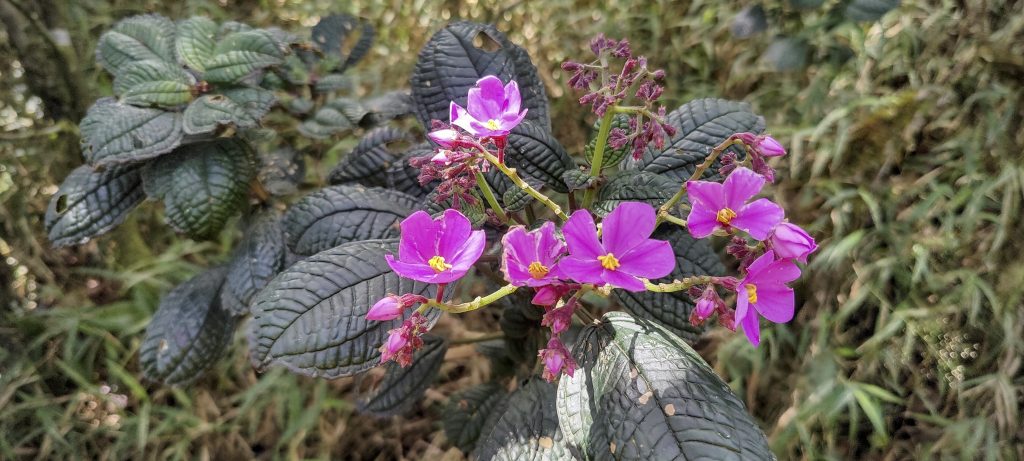
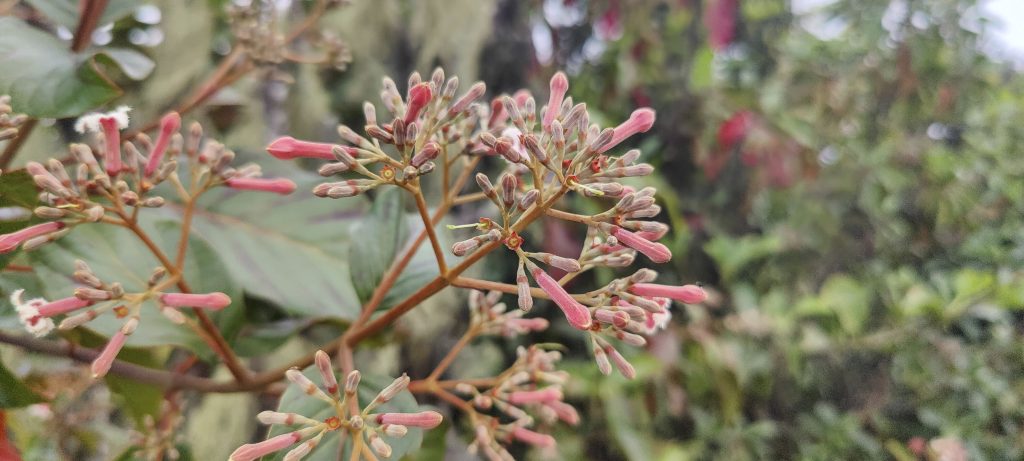
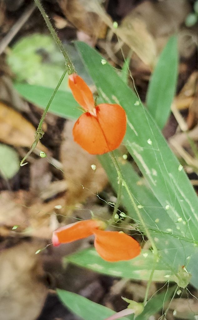
Zezito showed us various plants and berries and we found that Portuguese and French were not too difficult to communicate in. Although it’s not technically necessary to have a guide, I would highly recommend hiring one, especially one as professional as Zezito.

Down below, we are the clouds again (left)
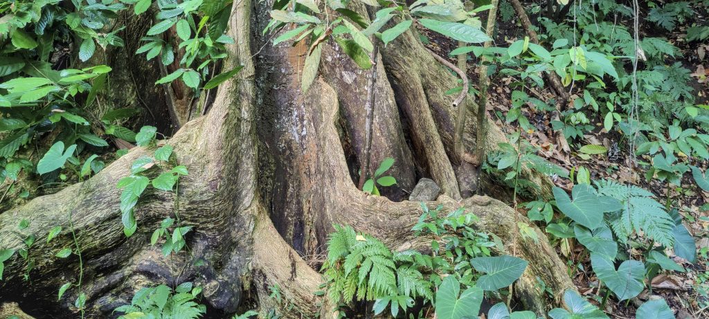
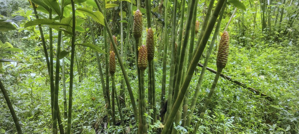
Giant trees (right))
Streams below
Back at the trailhead

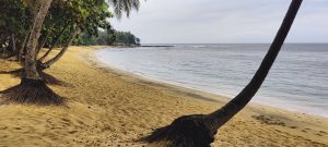
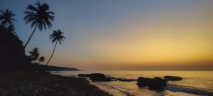
Now that the core plan is complete, we have the freestyle programme. Our main interest is still to reach the high peaks. The Pico Cão Grande impressive, although technically difficult, is a 5.14 rock climb, few others are difficult to access. But tomorrow we will find few opportunities. Today, as time and daylight are limited, we will just stop at a random spot near the village of Diogo Vaz and enjoy the sunset.


Pico de São Tomé 2024 m altitude
2024 m prominence
405.92 km isolation
Ranges West Africa Mountains - Bight of Benin
Countries/regions São Tomé and Príncipe - São Tomé Province
Distance 9.00 km up 9.00 km down
Elevation 1652 m gain 1652 m loss
Time
5h20 up
0h20 other
4h40 down
10h20 total
Trailhead 370 m altitude 0.3077490, 6.5538610
Route

Passing through the village of Ponta Figo, we drove a few more kilometres along the cobbled road and parked the car on one of the bends. We then walked along a reasonably good, old, overgrown road with a few shortcuts. At one point we walked along the top of an aqueduct. From the old coffee farm ruins we climbed steeper jungle slopes, but never too steep or slippery. Most of the way to the top is in the shade. The lower summit was grassy and quite flat with a few trees. The path to the summit was not bad either, with some small re-ascents and a few steep root scrambles. The descent was fast enough, although slower than expected.

Difficulties

A few steeper sections of easy root scrambling before the summit can be slippery in the rain

Links GPX trail
  • West Africa 2023
  • « Lisbon to São Tomé
  • Diogo Vaz »

Mountain Ranges

Anatolia
Taurus Mountains
Western Anatolia
Andes
Puna de Atacama
Atlas Mountains
High Atlas
Northwestern Atlas
Central America Ranges
Costa Rica-Panama Ranges
Central Central America
Eastern Europe Ranges
Southeast Baltic Plains
Iberian Peninsula
Cordillera Cantabrica
Castile Ranges
Portugal-Galicia
Pyrenees
Malay Archipelago
Java
Nusa Tengarra
Sulawesi
Sumatra
Northwest Europe
Great Britain
North France-West Rhine Area
Southeast South America
Pampas
Sierras de Cordoba
West Africa Mountains
Bight of Benin
Cameroon Mountains

Countries / regions

Algeria
Ain Guezzam
Ain Salah
Aïn Témouchent
El Bayadh
Ghardaïa
Oran
Ouargla
Saïda
Sidi Bel Abbès
Tamanrasset
Argentina
Catamarca
Ciudad Autónoma de Buenos Aires
Córdoba
Jujuy
Salta
Tucumán
Belgium
Flemish Region
Brussels Capital Region
Cameroon
Southwest
Costa Rica
Alajuela
Cartago
Guanacaste
Heredia
Limón
San José
Czechia
Prague
Denmark
Greenland
France
Hauts-de-France
Germany
Berlin
Niedersachsen
Indonesia
Bali
Jambi
Jawa Tengah
Jawa Timur
Nusa Tenggara Barat
Sulawesi Tengah
Sulawesi Utara
Sumatera Barat
Lithuania
Vilnius County
Morocco
Béni Mellal-Khénifra
Drâa-Tafilalet
Fez-Meknes
Marrakesh-Safi
Souss-Massa
Tangier-Tetouan-Al Hoceima
Netherlands
Gelderland
Noord-Holland
Nicaragua
Chinandega
Managua
Masaya
Rivas
Poland
Greater Poland Voivodeship
Masovian Voivodeship
Portugal
Castelo Branco
Leiria
Lisbon
Santarém
São Tomé and Príncipe
São Tomé Province
Spain
Aragón
Asturias
Castilla-La Mancha
Castilla y León
Switzerland
Zürich
Turkey
Antalya
Isparta
Muğla
United Kingdom
England
Scotland
United States
Delaware
Florida
Georgia
Maryland
New Jersey
New York
North Carolina
South Carolina
Pennsylvania
Virginia

TRIPS

2023
West Africa 2023 II
Iberian Peninsula 2023
West Africa 2023
Central America 2023
2022
Andes 2022
Northwest Europe 2022
Malay Archipelago III 2022
Malay Archipelago II 2022
Anatolia Mountains 2022
Iberian Peninsula 2022
Atlas Mountains 2022

archaeology (3) climb (69) food (2) hike (68) p30 (3) p100 (9) p300 (8) p600 (13) p1000 (5) p1500 (34) ribu (4) sight (34) summary (11) ultra (34)

839 km walked, 65 247 m climbed

©2023 p600.org | WordPress Theme by Superbthemes.com