Skip to content
Menu
p600.org
  • home
  • map
  • trips
  • about
p600.org

Gunung Slamet

hike | 2022-10-17
3428 m altitude, 3284 m prominence, 419.06 km isolation

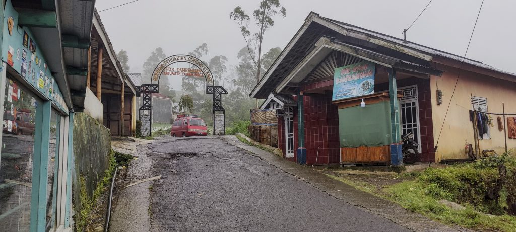
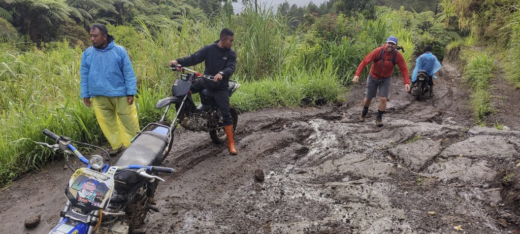
We arrive early in the morning at the registration point at the end of the village. We check in, get on our motorbikes, and ride a couple of hundred vertical meters very quickly. Just before the end, we have to get off the bikes because they are apparently not designed for western weights.

Entrance gates
Fresh local coffee that is mild and full-flavored 
Spicy chili from a local farm 
Ojek – Indonesia motorcycle taxi
A few slopes were too steep for a motorbike, and we had to walk on our own.
Nice muddy trail

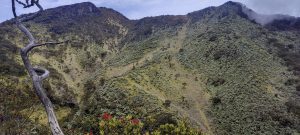
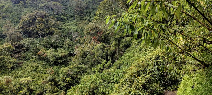
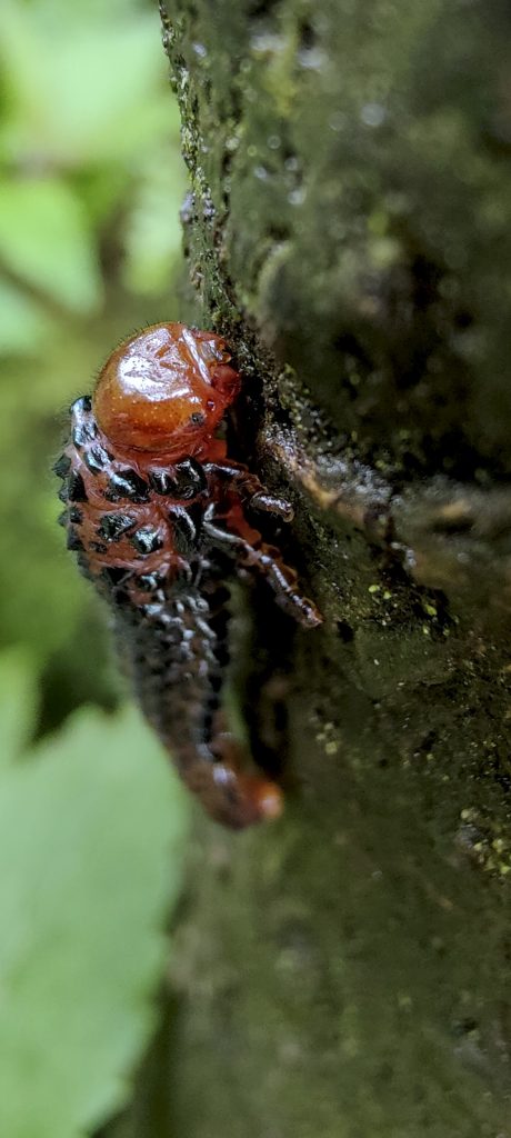
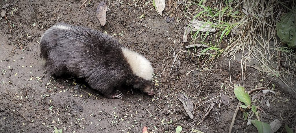
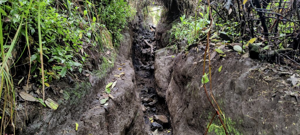
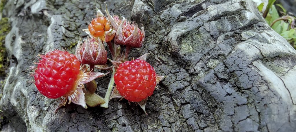
We climb through the jungle almost the whole way. There isn’t much to see because of the clouds. On the way, we meet only a skunk and a group of people cutting a new path. They explain to us that a straighter and faster trail is needed for rescue missions. The amazing thing was that we were already climbing down the new trail. I would never have thought that you could cut out several hundred vertical meters of jungle trail in a day. Respect!

Cutters of the new path
Rescue team member
Dont, ask, i don’t know ??
One of numerous POS
Sunda stink badger or skunk (Mydaus javanensis ??) was so busy with his own affairs, he didn’t pay any attention to us
Many trails are well defined

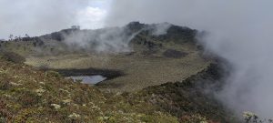
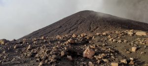
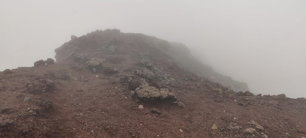
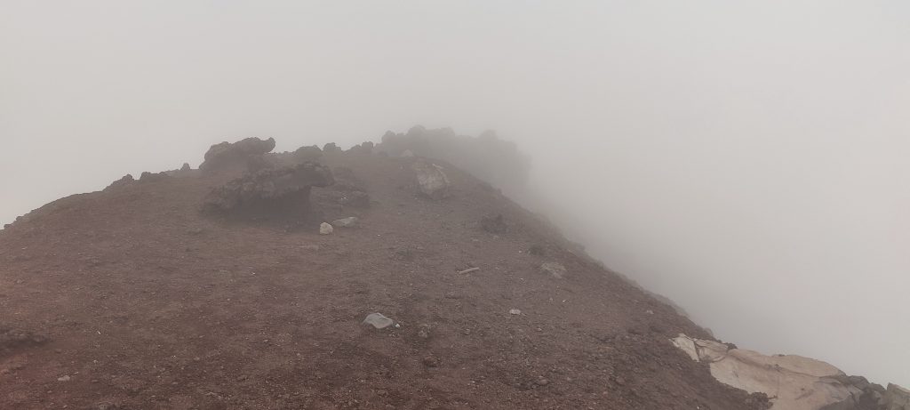
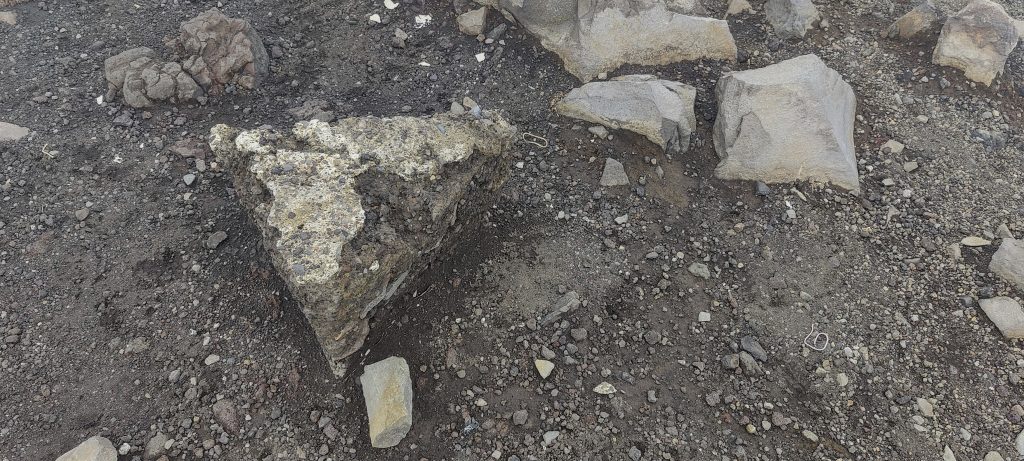
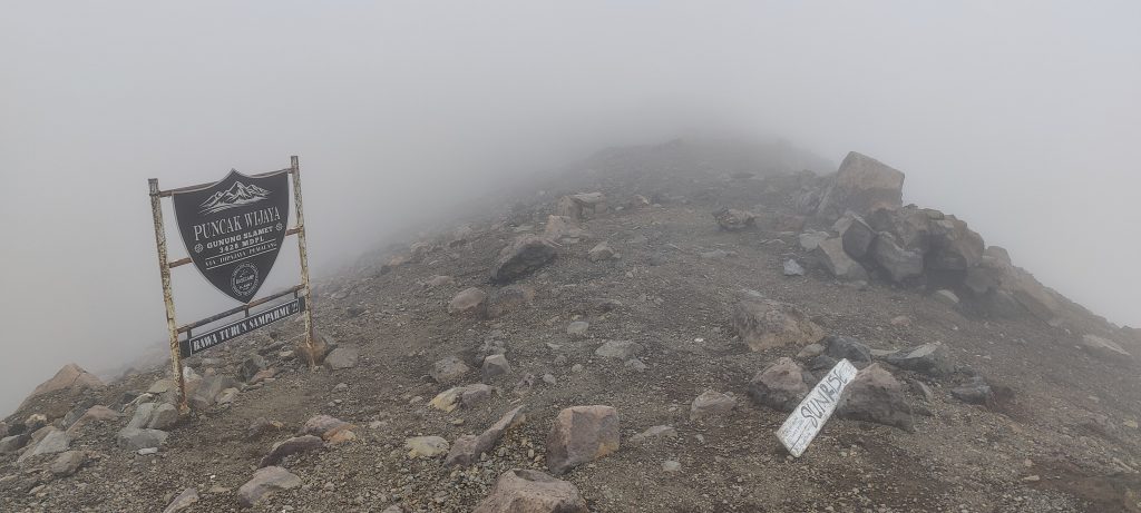
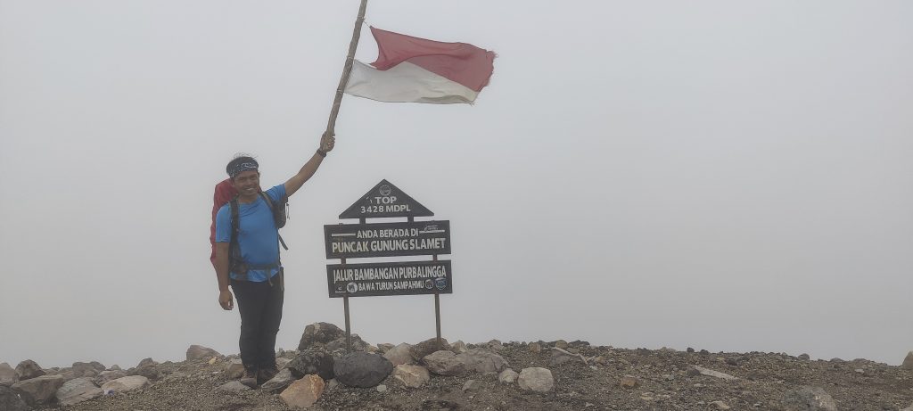
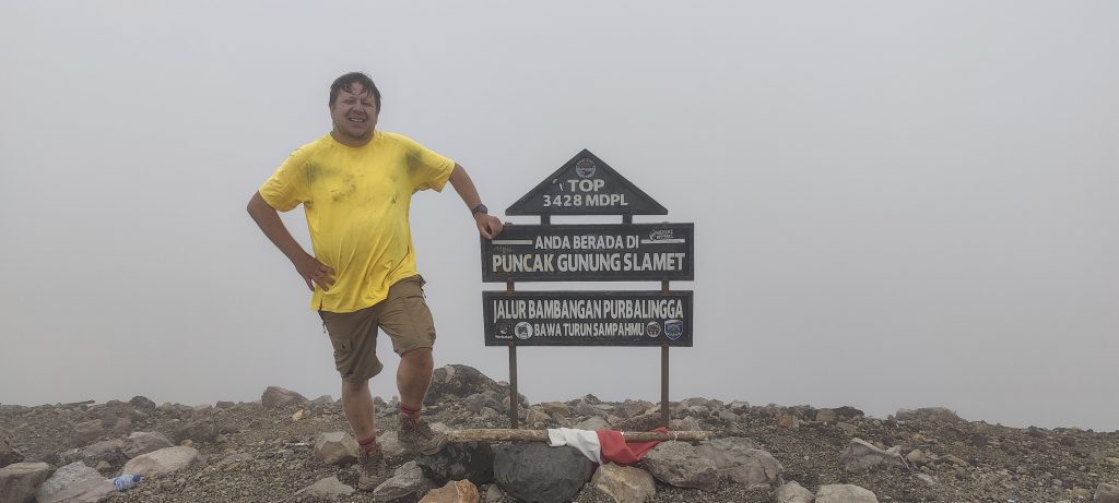
The top is bare and rocky, and during the last eruption, the volcano made sure that there was no greenery for a couple of hundred meters. We don’t see much of anything in the fog, so we take a photo and stop for a few minutes to rest. Not far from the summit, there is a natural wall of rocks that slightly blocks the strong wind.

Summit in the fog
Something like the remains of a triangulation pillar
One of the few summit markers
Agus with Indonesian flag
Me at the summit

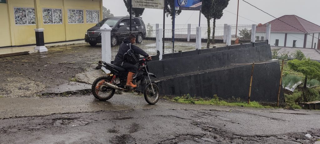
We descend on a newly cut path, which is a little easier than the slippery and clayey old path. A heavy downpour starts near the first POS. There are motorcycles offering to take us to registration. Cool, but I have to admit that riding a motorcycle downhill is much more difficult than going uphill—a good exercise for the arms.

Looks like raspberries, and Agus says it is edible
Also edible.. but who knows by whoom

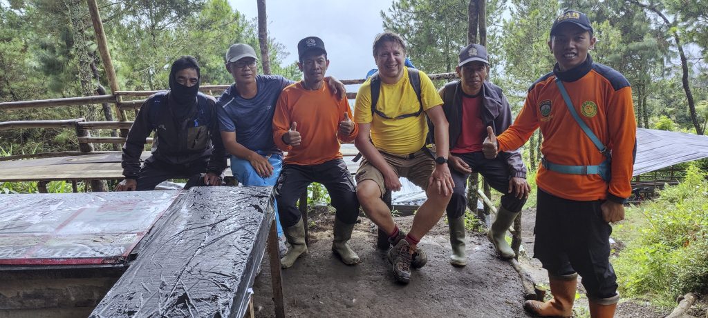
It is the fourth mountain from the world’s Top 100 prominence list on this trip. Not bad! Next, it’s on to the airport, a flight to Sumatra, and a drive to the foot of Gunung Kerinci.


Gunung Slamet 3428 m altitude
3284 m prominence
419.06 km isolation
Ranges Asia - Malay Archipelago - Java
Countries/regions Indonesia – Jawa Tengah
Distance 5.90 km up 5.90 km down
Elevation 1728 m gain 1728 m loss
Time
6h10 up
0h05 other
4h50 down
11h05 total
Trailhead 1699 m altitude -7.2268050, 109.2526940
Difficulties

muddy path, sometimes resembling a ditch

Links GPX trail
  • Malay Archipelago II 2022
  • « Gunung Lawu
  • Gunung Kerinci »

Mountain Ranges

Anatolia
Taurus Mountains
Western Anatolia
Andes
Puna de Atacama
Atlas Mountains
High Atlas
Northwestern Atlas
Central America Ranges
Costa Rica-Panama Ranges
Central Central America
Eastern Europe Ranges
Southeast Baltic Plains
Iberian Peninsula
Cordillera Cantabrica
Castile Ranges
Portugal-Galicia
Pyrenees
Malay Archipelago
Java
Nusa Tengarra
Sulawesi
Sumatra
Northwest Europe
Great Britain
North France-West Rhine Area
Southeast South America
Pampas
Sierras de Cordoba
West Africa Mountains
Bight of Benin
Cameroon Mountains

Countries / regions

Algeria
Ain Guezzam
Ain Salah
Aïn Témouchent
El Bayadh
Ghardaïa
Oran
Ouargla
Saïda
Sidi Bel Abbès
Tamanrasset
Argentina
Catamarca
Ciudad Autónoma de Buenos Aires
Córdoba
Jujuy
Salta
Tucumán
Belgium
Flemish Region
Brussels Capital Region
Cameroon
Southwest
Costa Rica
Alajuela
Cartago
Guanacaste
Heredia
Limón
San José
Czechia
Prague
Denmark
Greenland
France
Hauts-de-France
Germany
Berlin
Niedersachsen
Indonesia
Bali
Jambi
Jawa Tengah
Jawa Timur
Nusa Tenggara Barat
Sulawesi Tengah
Sulawesi Utara
Sumatera Barat
Lithuania
Vilnius County
Morocco
Béni Mellal-Khénifra
Drâa-Tafilalet
Fez-Meknes
Marrakesh-Safi
Souss-Massa
Tangier-Tetouan-Al Hoceima
Netherlands
Gelderland
Noord-Holland
Nicaragua
Chinandega
Managua
Masaya
Rivas
Poland
Greater Poland Voivodeship
Masovian Voivodeship
Portugal
Castelo Branco
Leiria
Lisbon
Santarém
São Tomé and Príncipe
São Tomé Province
Spain
Aragón
Asturias
Castilla-La Mancha
Castilla y León
Switzerland
Zürich
Turkey
Antalya
Isparta
Muğla
United Kingdom
England
Scotland
United States
Delaware
Florida
Georgia
Maryland
New Jersey
New York
North Carolina
South Carolina
Pennsylvania
Virginia

TRIPS

2023
West Africa 2023 II
Iberian Peninsula 2023
West Africa 2023
Central America 2023
2022
Andes 2022
Northwest Europe 2022
Malay Archipelago III 2022
Malay Archipelago II 2022
Anatolia Mountains 2022
Iberian Peninsula 2022
Atlas Mountains 2022

archaeology (3) climb (69) food (2) hike (68) p30 (3) p100 (9) p300 (8) p600 (13) p1000 (5) p1500 (34) ribu (4) sight (34) summary (11) ultra (34)

839 km walked, 65 247 m climbed

©2023 p600.org | WordPress Theme by Superbthemes.com