Skip to content
Menu
p600.org
  • home
  • map
  • trips
  • about
p600.org

Gunung Kerinci

hike | 2022-10-20
3805 m altitude, 3805 m prominence, 1904.03 km isolation

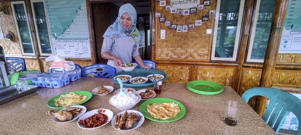
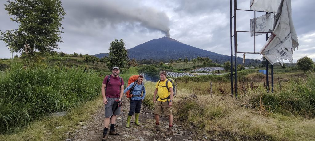
We are staying at Kerinci View homestay. It’s a great name, and one can watch the smoke rising from the pillar of Kerinci crater from the balcony. It started to smoke actively the day before we arrived. Pani, the owner of the house and our guide for tomorrow, calls the park rangers and reassures us that we can climb. But there is no 100% guarantee that we will reach the top. His sister makes a great dinner, and we enjoy a calm evening.

We had very good food at the Kerinci View homestay.
There are cinnamon trees everywhere
I’m sure everyone around here hears the call of the mosque, especially as it lasts more than half an hour
Match box size insect
Kerinci woke up yesterday

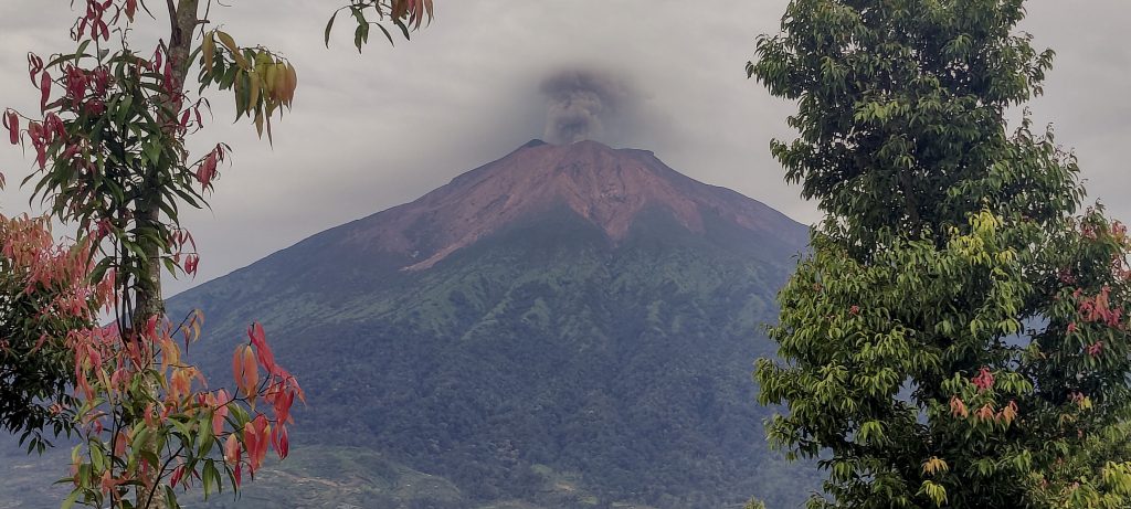
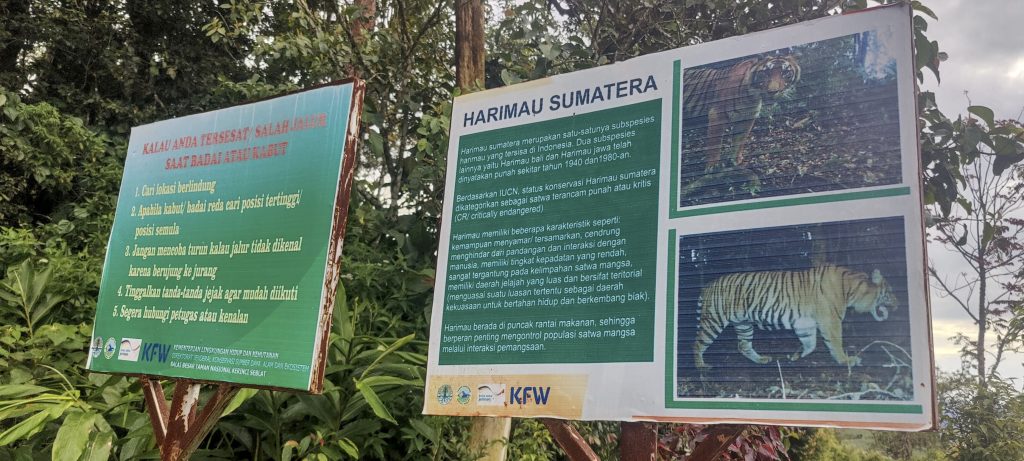
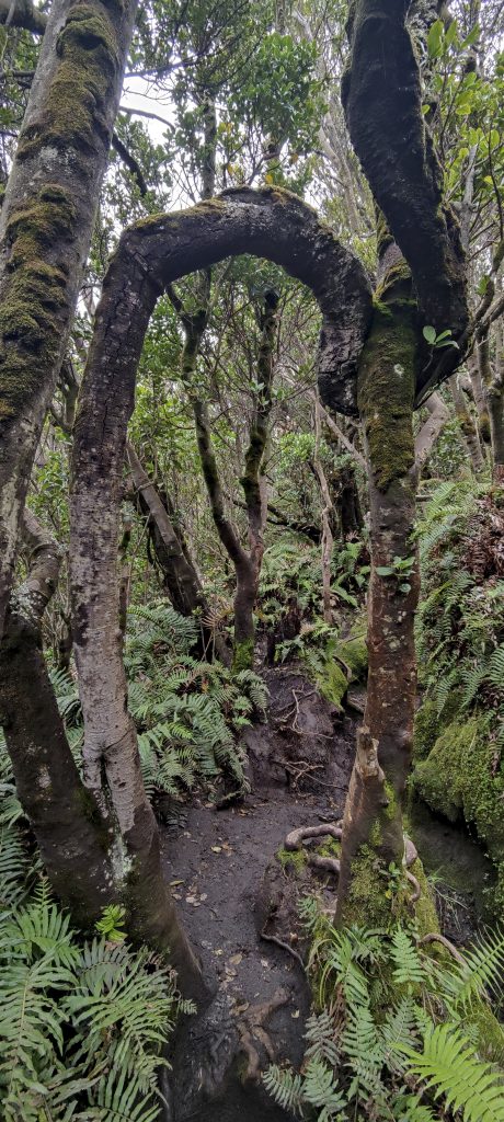
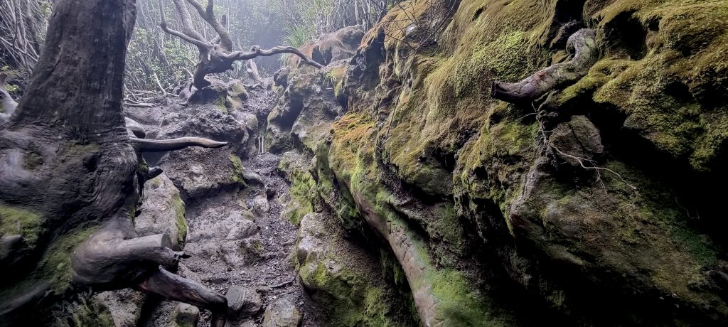
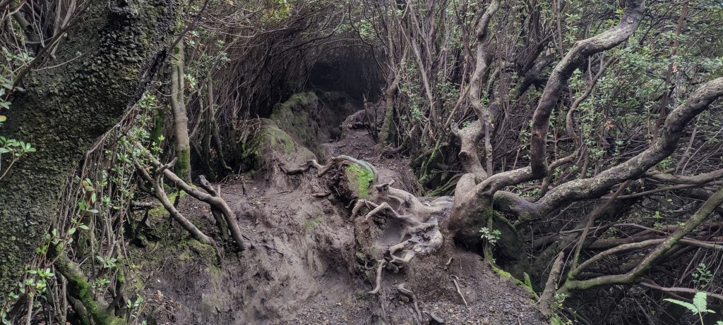
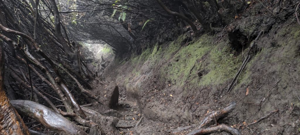
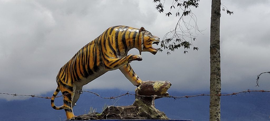
The next morning, we start climbing. We find nothing at the registration desk, so we continue. The sign warning about tigers doesn’t make much impression either. Perhaps because we are currently more concerned with reaching the highest point due to volcanic activity. On the way, we meet some students coming down from the top. They tell us that the volcano is active at the moment, and that is why they have not climbed to the top. Motivation is dropping, but hope dies last.

Dave, Pani and me at the trailhead
Registration center and park entrance
A real tiger may be spotted in the woods. I’m wondering if it’s more interesting to spot it or not. 
Interesting trail
Siamangs (Symphalangus syndactylus ??)
Real jungle
One of the few open spaces
On the way up
Villages at the bottom
Touch-me-not balsam (Impatiens noli-tangere ??)
Tree-covered path
It is hard to lose such a trail
Impressive path
One of many natural tunnels
One more tunnel
Deep ravines instead of trails
Some red flower. Maybe Hairy alpenrose (Rhododendron hirsutum) ??
Blueberry

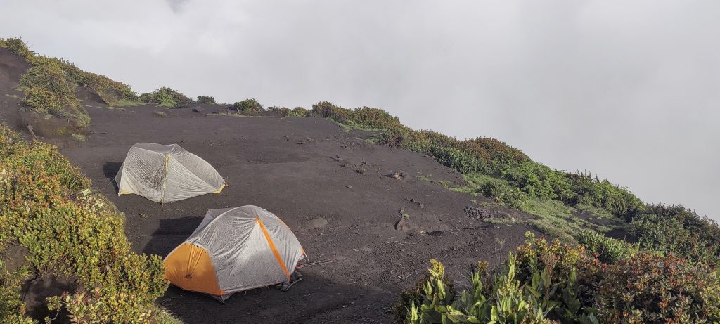
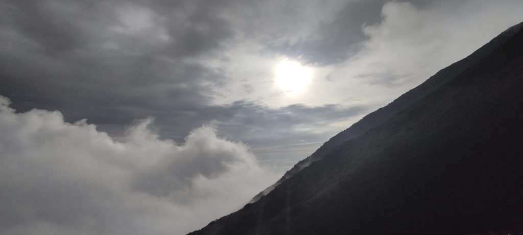
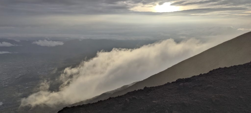
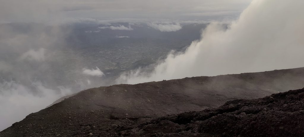
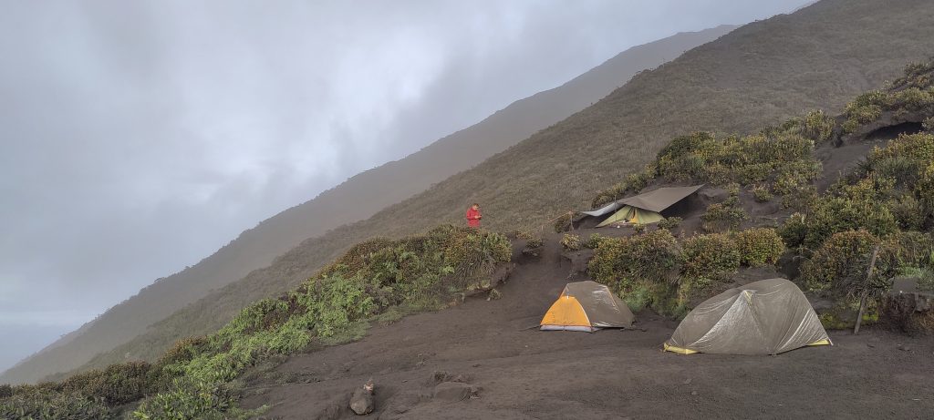
Around noon, we reach the upper and therefore the last camp. We pitch our tents and try to rest. Around 16:00, I wake up, get out of the tent, and, to my surprise, I see the sun. I can see the peak and a column of smoke coming out of it. I call guide and suggest that we climb the peak now. He tries to argue with the sunrise view. I have two arguments. First of all, we seem to have perfect weather and plenty of time before dark. Secondly, I don’t really know what to do in our camp.I suggest the guide try, if it is not going to be very good and try again in the morning. He agrees. 

Dave and my tents before heading to the summit.
Smoke from the crater
kind of sunshine. On the other hand, I can hear and see thunder on the other side.

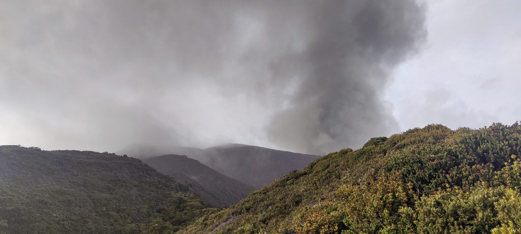
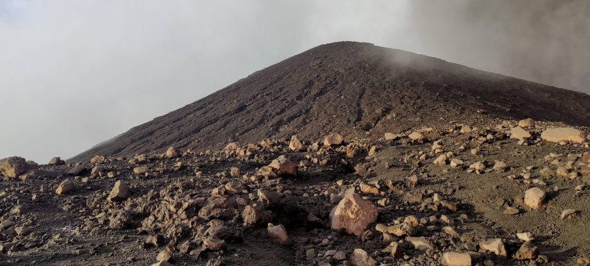
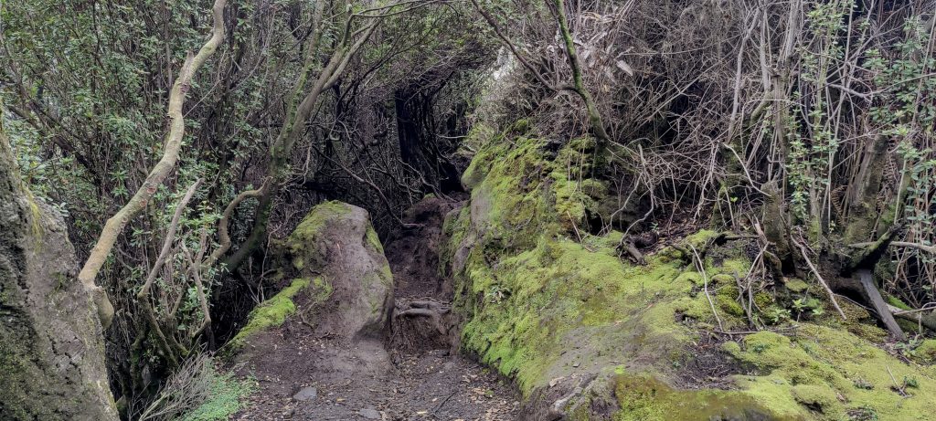
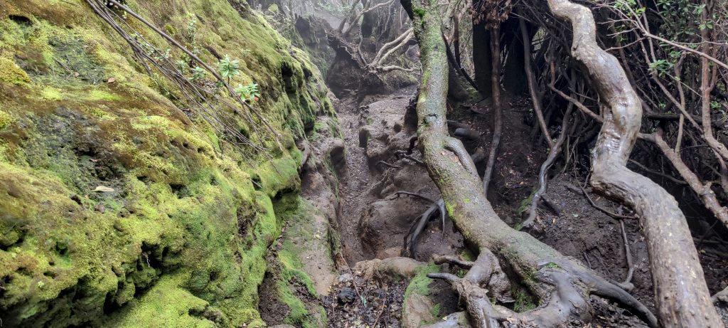
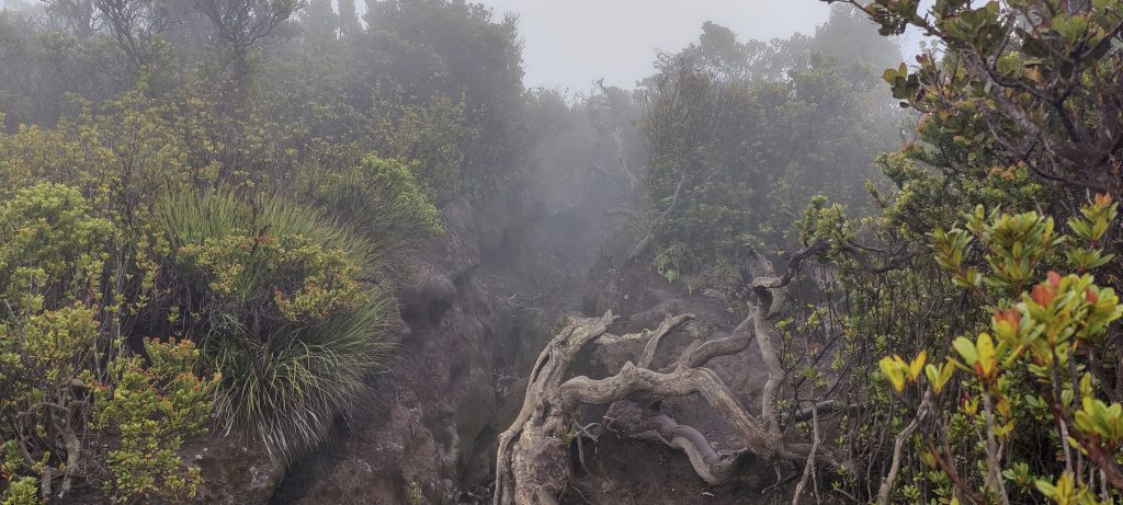
While I am eating my sandwich, it is covered with a thin layer of ash. I realize that I have to do something to save my lungs. I roll up my COVID mask and put it on. At least once, the COVID mask does a useful job. We start climbing; there is no clear path, but it is easy. We climb a few hundred meters over rocks and through furrows. The ash does not diminish.

I suppose the plate warns of dangers lurking behind it 
Summit slopes in the clouds
Dramatic landscape
Few meters below summit
Summit
At the highest point, the electric static charge is so high that the sticks buzzing. Unfortunately, in the video, the sound is not very audible.

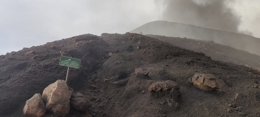
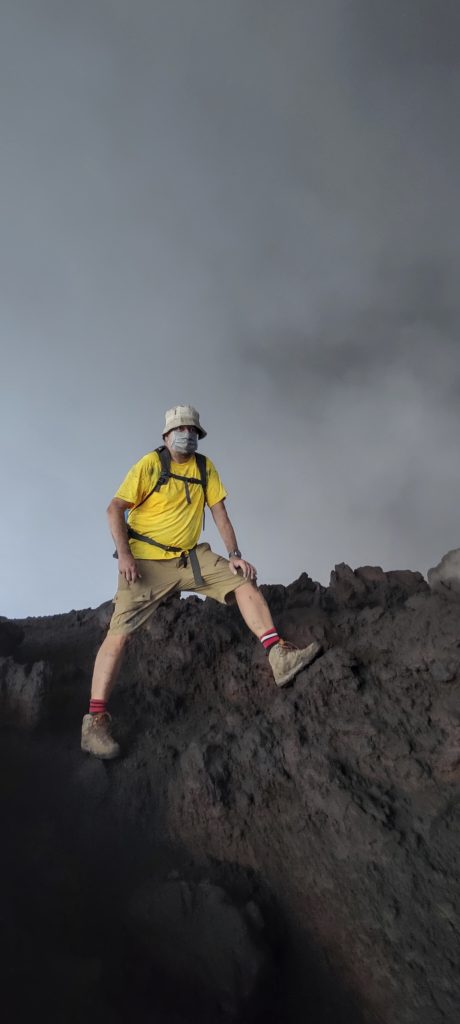
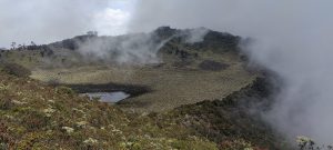
The last slope, and we are at the top. There is a small metal fence at the highest point. It is buzzing from the strain of the electricity. The guide’s walking sticks are also buzzing. We stay at the top for less than a minute. In any case, visibility is close to zero.

Few short views down

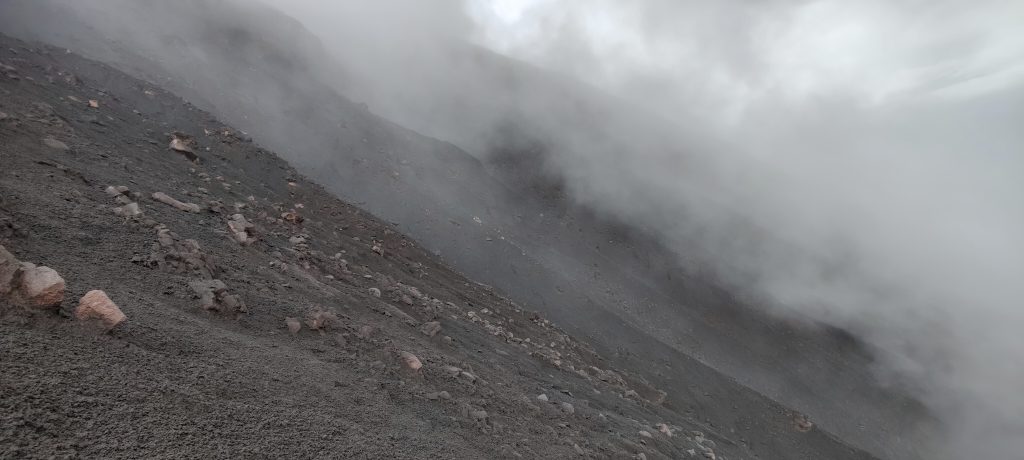
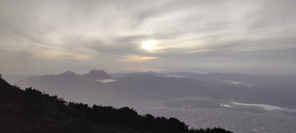
It takes us about an hour and a half to climb up, hoping it would be quicker to get down, but it is completely dark halfway down. I take the headlamp in my hand, but it is of little help. In the thick fog, it only dazzles; the dark surface of the volcanic ash is hard to see anyway. We compensated for the poor visibility by walking more slowly. Soon we reach camp, have dinner, and go to sleep.

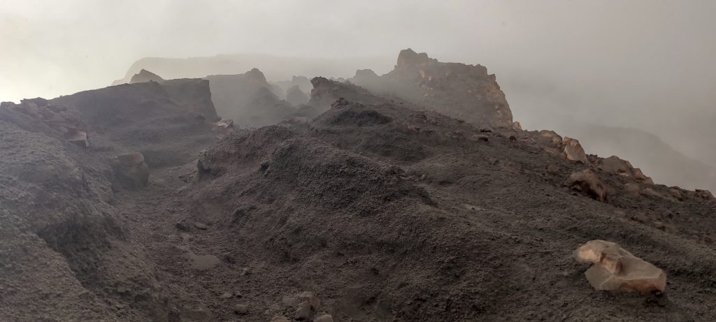
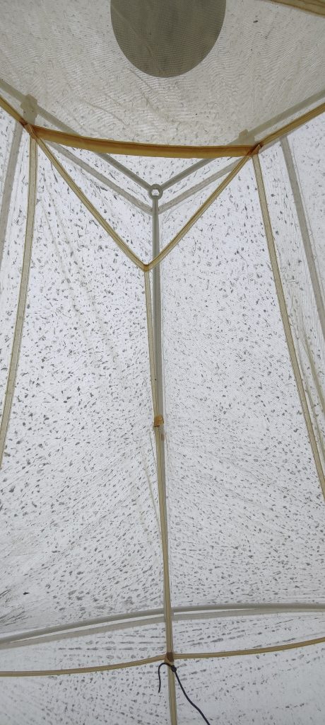
I wake up early; yesterday we slept a lot, and today I don’t really want to sleep any longer. The tent is covered with a thick layer of ash and has turned from white to gray-black. I come out of the tent and see that the ash is falling even more intensely than yesterday, with as many or more clouds. But I think that yesterday’s decision to climb in the evening was very correct and successful. It would be more difficult to climb up today because the change in wind direction is carrying all the smoke and ash towards the path. It is true that there is so much ash that we don’t want to stay longer in our camp.

Evening
Morning
Tent roof from inside the tent
In the morning, we found our tents covered in a large layer of ash
The crater lake and Mount Gunung Tujuh (2604m p1250) can be seen in the background
A view of the flatland at the bottom

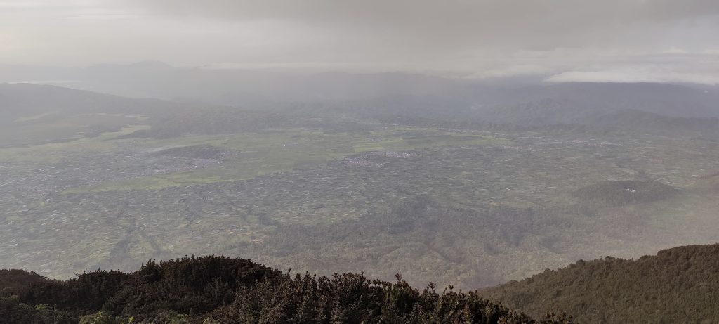
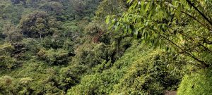
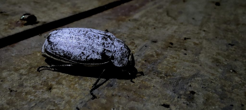
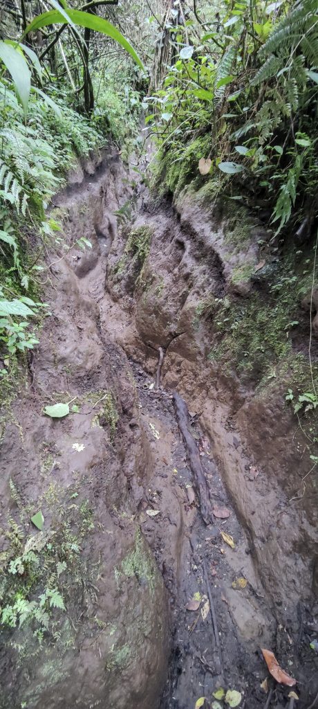
We pack up camp and start climbing down. All the plants, trees, and trail are covered with a layer of ash. In the rain, this layer makes our trail look like an ice skating rink. The ash only decreases after descending 500–600 meters. Finally, we can take off our masks and breathe. Interact with the squirrels who bravely climb on your shoulders hoping to get food.

A squirrel came to see how dirty we (me) are. We had to share our food..
Chili, chili, and more chili
And even more chili 
Fertile volcanic tertiary soil
Tea plantations and Kerinci in the clouds

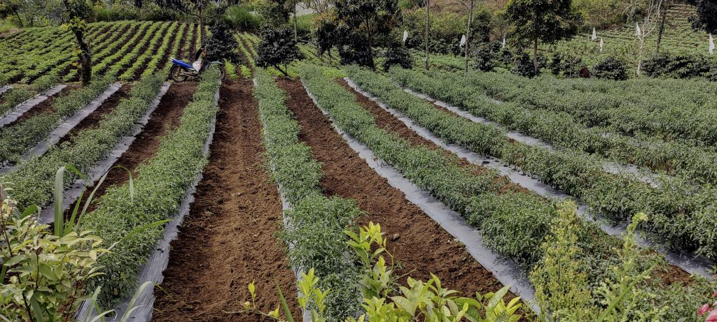
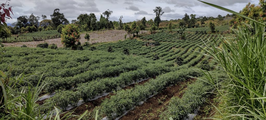
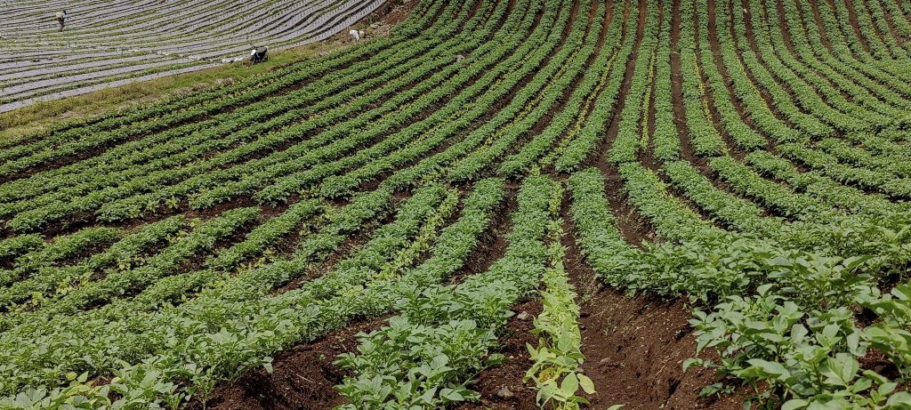
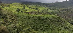
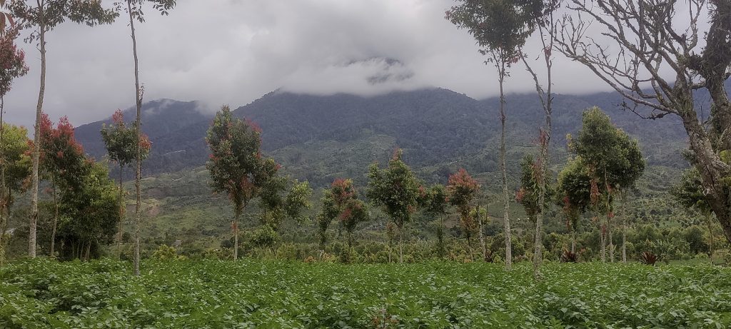
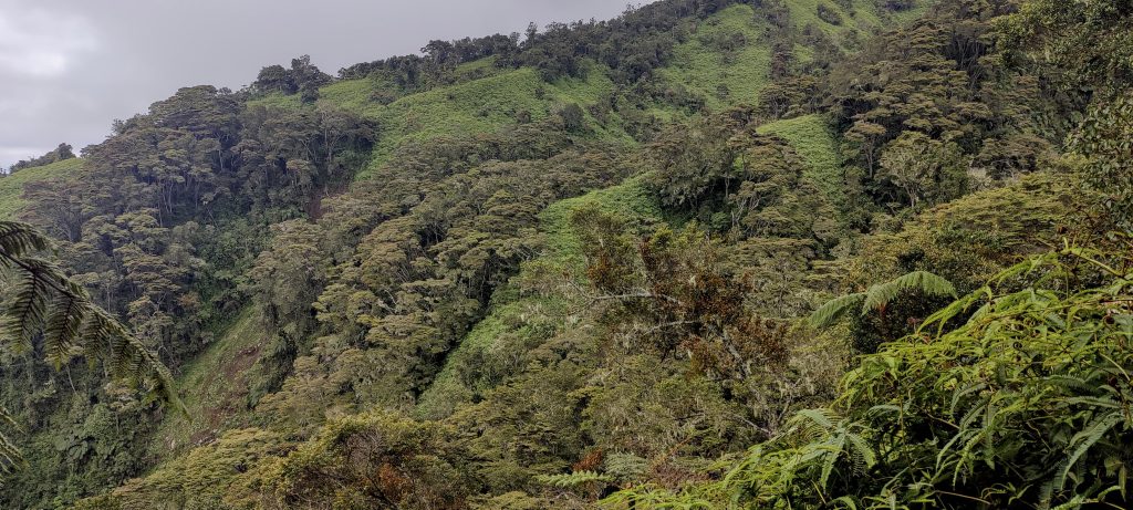
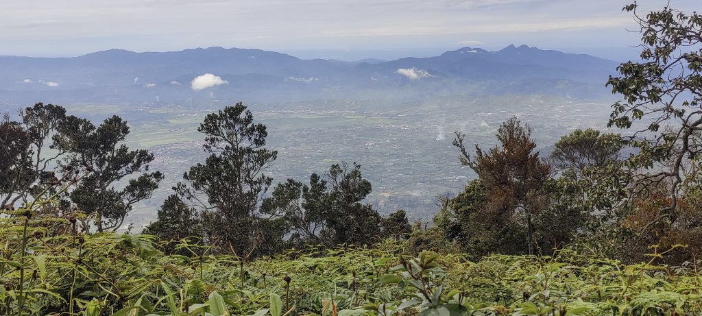
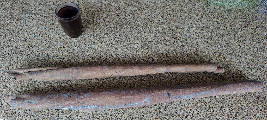
On the hillside, farmers’ fields are neatly kept. We return to our Kerinci View homestay, have a shower, and have another delicious meal. I ask Pani if I can buy a few sticks of cinnamon. He says of course you can and comes back with five one meter long cinnamon sticks… I asked him to cut one of them into three pieces with a saw. I think I have enough cinnamon for five or ten years.

Tiger land
Kerinci View homestay playground
Cinnamon sticks: a gift from Kerinci View homestay owner and our guide Pani. Thanks a lot!

It was a very successful part of the trip. We climbed 5 of the “Top 100  by prominence” list. Dave is flying to Jakarta tomorrow and then home. I’m meeting Rob, and we’ll continue up the mountain. Next on the list is Talang.


Gunung Kerinci 3805 m altitude
3805 m prominence
1904.03 km isolation
Ranges Asia – Malay Archipelago – Sumatra
Countries/regions Indonesia – Jambi
Indonesia – Sumatera Barat
Distance 6.80 km up 6.80 km down
Elevation 2055 m gain 2055 m loss
Time
6h20 up
15h40 other
5h00 down
27h00 total
Trailhead 1749 m altitude -1.7516030, 101.2596780
Difficulties

falling ash from an active volcano, making it difficult to breathe

Links GPX trail
  • Malay Archipelago II 2022
  • « Gunung Slamet
  • Sumatera Barat »

Mountain Ranges

Anatolia
Taurus Mountains
Western Anatolia
Andes
Puna de Atacama
Atlas Mountains
High Atlas
Northwestern Atlas
Central America Ranges
Costa Rica-Panama Ranges
Central Central America
Eastern Europe Ranges
Southeast Baltic Plains
Iberian Peninsula
Cordillera Cantabrica
Castile Ranges
Portugal-Galicia
Pyrenees
Malay Archipelago
Java
Nusa Tengarra
Sulawesi
Sumatra
Northwest Europe
Great Britain
North France-West Rhine Area
Southeast South America
Pampas
Sierras de Cordoba
West Africa Mountains
Bight of Benin
Cameroon Mountains

Countries / regions

Algeria
Ain Guezzam
Ain Salah
Aïn Témouchent
El Bayadh
Ghardaïa
Oran
Ouargla
Saïda
Sidi Bel Abbès
Tamanrasset
Argentina
Catamarca
Ciudad Autónoma de Buenos Aires
Córdoba
Jujuy
Salta
Tucumán
Belgium
Brussels Capital Region
Flemish Region
Cameroon
Southwest
Costa Rica
Alajuela
Cartago
Guanacaste
Heredia
Limón
San José
Czechia
Prague
Denmark
Greenland
France
Hauts-de-France
Germany
Berlin
Niedersachsen
Indonesia
Bali
Jambi
Jawa Tengah
Jawa Timur
Nusa Tenggara Barat
Sulawesi Tengah
Sulawesi Utara
Sumatera Barat
Lithuania
Vilnius County
Morocco
Béni Mellal-Khénifra
Drâa-Tafilalet
Fez-Meknes
Marrakesh-Safi
Souss-Massa
Tangier-Tetouan-Al Hoceima
Netherlands
Gelderland
Noord-Holland
Zeeland
Nicaragua
Chinandega
Managua
Masaya
Rivas
Poland
Greater Poland Voivodeship
Masovian Voivodeship
Portugal
Castelo Branco
Leiria
Lisbon
Santarém
São Tomé and Príncipe
São Tomé Province
Spain
Aragón
Asturias
Castilla-La Mancha
Castilla y León
Switzerland
Zürich
Turkey
Antalya
Isparta
Muğla
United Kingdom
England
Scotland
United States
Delaware
Florida
Maryland
New Jersey
New York
South Carolina
Pennsylvania

TRIPS

2023
West Africa II 2023
Iberian Peninsula 2023
West Africa 2023
Central America 2023
2022
Andes 2022
Northwest Europe 2022
Malay Archipelago III 2022
Malay Archipelago II 2022
Anatolia Mountains 2022
Iberian Peninsula 2022
Atlas Mountains 2022
North France-West Rhine Area 2022

archaeology (3) climb (72) food (2) hike (71) p30 (6) p100 (9) p300 (8) p600 (13) p1000 (5) p1500 (34) ribu (4) sight (35) summary (11) ultra (34)

843 km walked, 65 330 m climbed

©2023 p600.org | WordPress Theme by Superbthemes.com