Skip to content
Menu
p600.org
  • home
  • map
  • trips
  • about
p600.org

Pulau Gunatin High Point

hike | 2022-10-28
285 m altitude, 285 m prominence, 11.85 km isolation

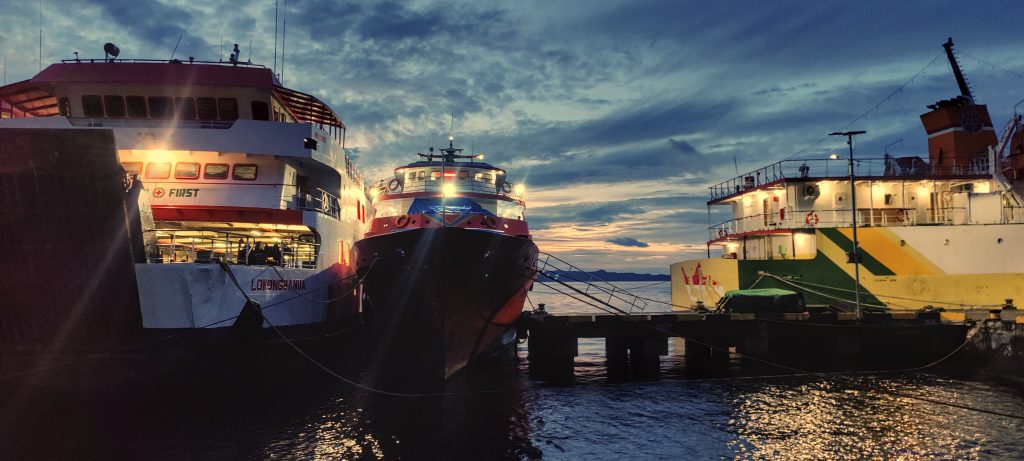
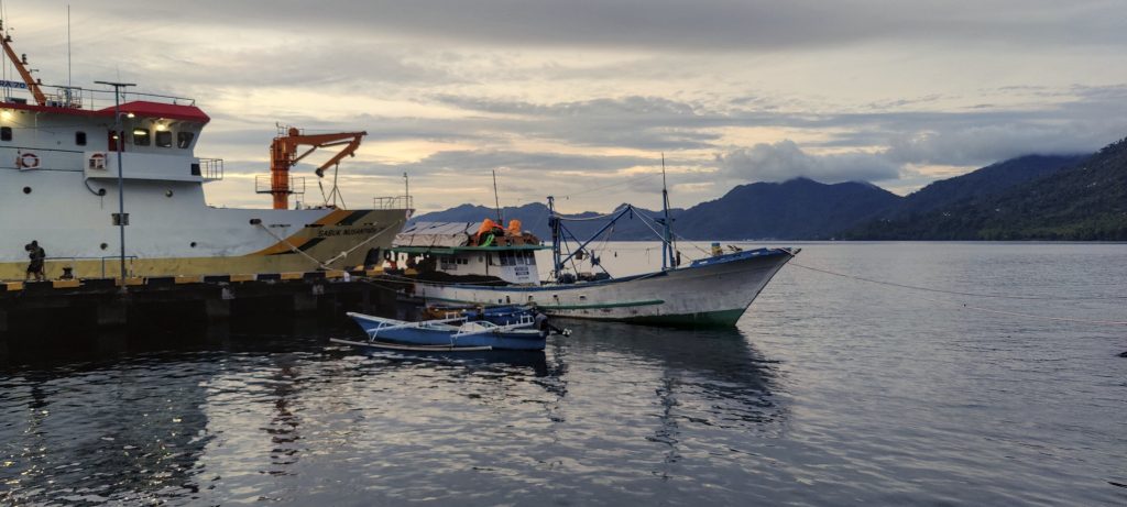
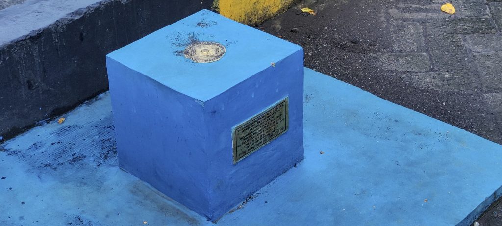
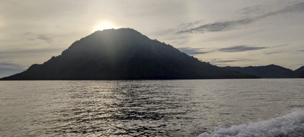
Yesterday’s typhoon changed our plans, and instead of the Awu volcano, we sailed to the nearby Gunatin Island, where we will try to find the highest point. We arrive at the Ulu harbor at dawn and have to wait, but there is nothing bad that doesn’t turn out for the best. In the corner of the harbor, we find a freshly painted triangulation pillar and a benchmark point.

Ulu port at Siau island
Boats at port
Nutmeg is a main source of income for locals.
We realized that we were sitting next to the triangular pillar in the port. We also discovered a benchmark point
Our boat, which will transport us to Gunatin Island 
This is most likely Siau Island’s second highest point
Rob and his phone
Captain and Karangetang in the background
Pulau Gunatin High Point
Gunatin island port
At port
Country has at least one submarine

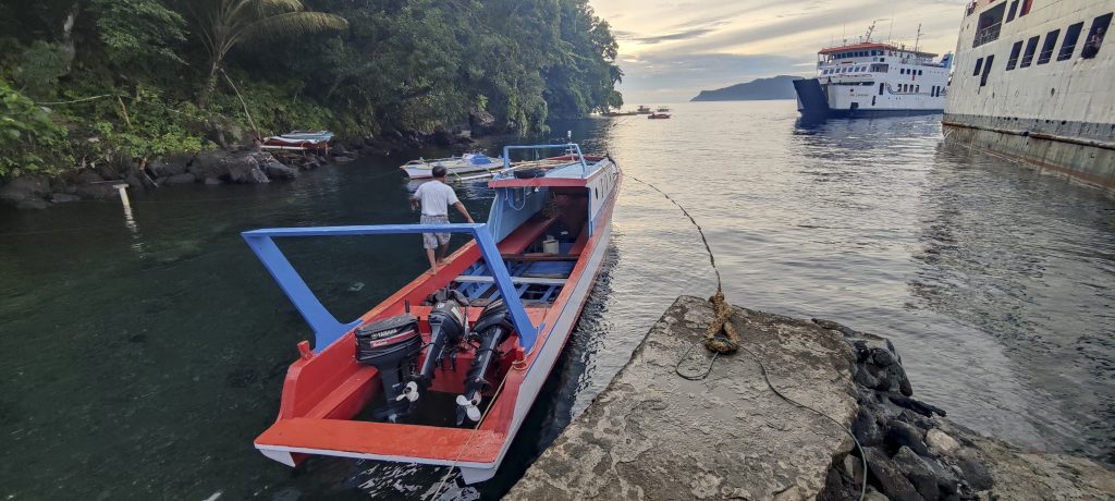
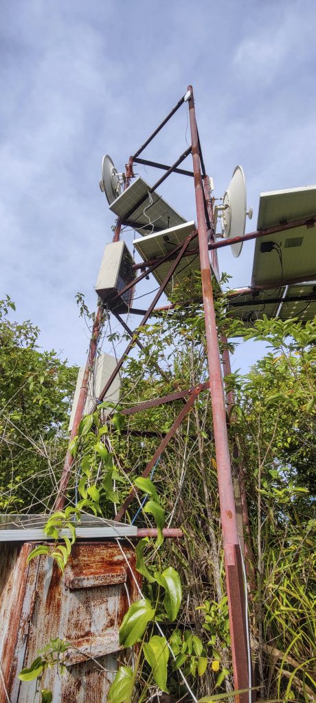
The boat is moving quickly—about half an hour. After disembarking on the island, head towards where the road is marked on the map. We find the road, but not quite where we expected. The true paved road also ends quickly. We try to guess which trail might lead us to the highest point, and we are doing quite well, but we reach the slightly lower E summit first. From here, with the help of a handlevel, Rob confirms that the W peak is higher. We also see that there is some kind of structure on the W peak. Later, we find out that these are antennas.

Nice island houses
Nutmeg ??

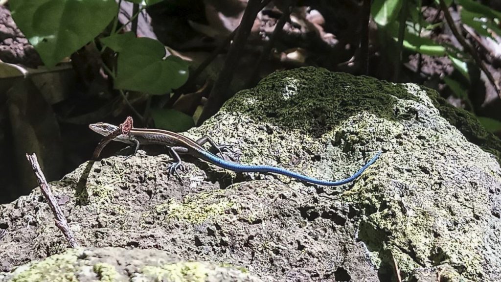
We climb a hundred meters or more up a steep slope through the bush to the lower E peak. From there, we try to bushwhack a ridge to the highest point. There may once have been a trail here, but now there are only bushes, grasses, and spiders of impressive size. We try to avoid them. Aris says we won’t die from the bite, but it will hurt for days. No desire to check. Brown ants cause skin irritation. It is sometimes necessary to remove tens of them from arms. 

An antenna tower is located at the highest point, but there are no views. We measure the height, and the “average” of all the measuring devices turns out to be 285 meters above sea level. Slightly higher than the topographic lines on the map.

15-20 cm size spiders..not deadly, but..
Comm mast at the summit
Blue-Tailed Skink (photo by Rob)

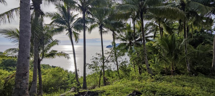
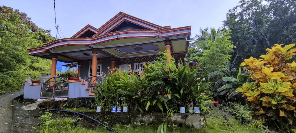
We are going down a slightly different “trail”. We reach a plantation with easy access to a coastal village. Just before the plantations with a broken tree, I fall a few metres down. My side will hurt for the next three weeks… Good learning story. But important – there’s a new peak at the Peabagger.

Karangetang today in all his beauty

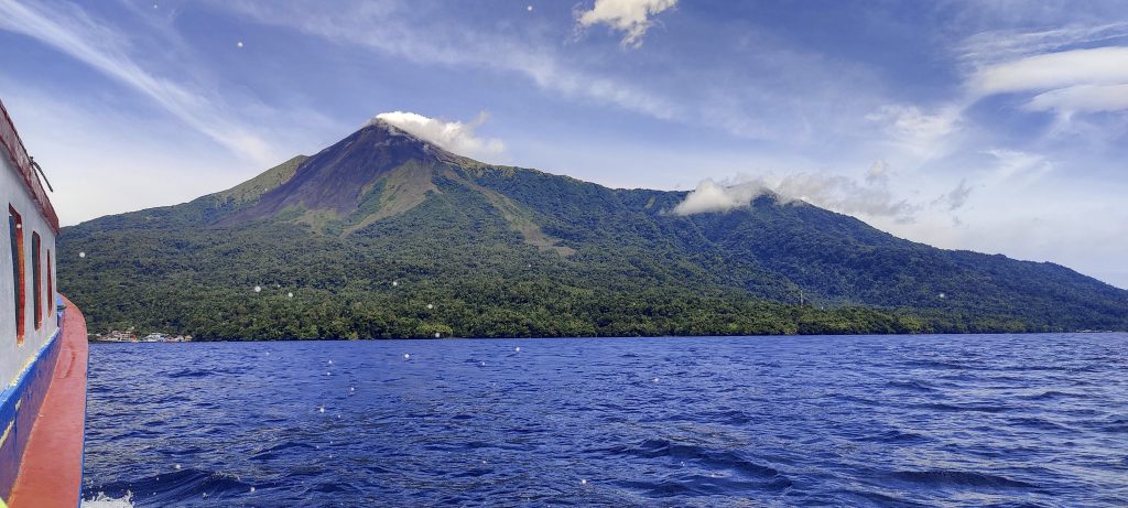
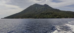
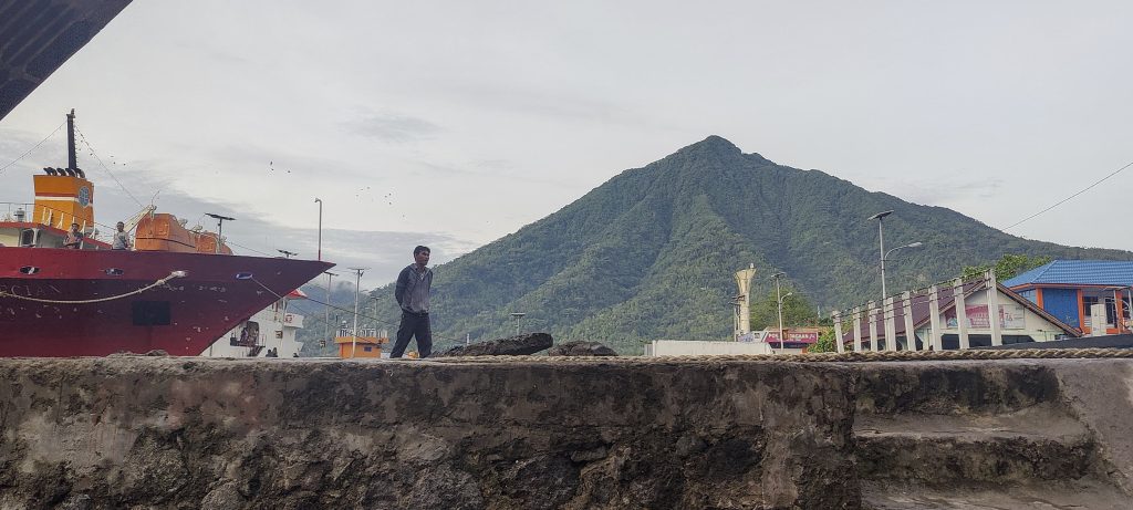
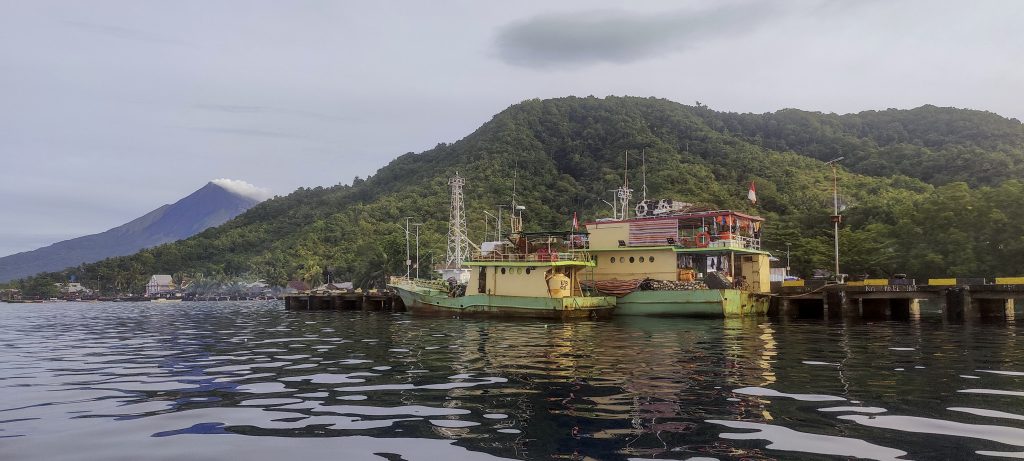
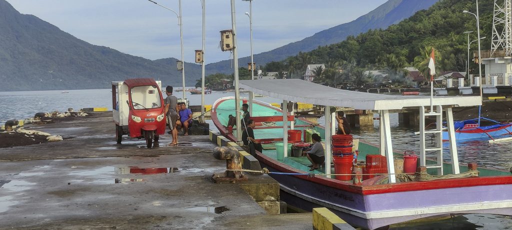
As well as the forward journey, on the return we can admire the steaming Karangetang volcano. We are back on Siau Island, and we have enough time to catch the 15:00 speed boat. A short and nice morning hike.


Pulau Gunatin High Point 285 m altitude
285 m prominence
11.85 km isolation
Ranges Asia – Malay Archipelago – Sulawesi
Countries/regions Indonesia – Sulawesi Utara
Distance 2.50 km up 2.50 km down
Elevation 282 m gain 282 m loss
Time
1h40 up
0h5 other
1h15 down
3h00 total
Trailhead 2 m altitude 2.6756110, 125.4524440
Difficulties

hard to find a trail, even if there is comm tower on the top

Links GPX trail
  • Malay Archipelago III 2022
  • « Siau
  • Manado Tua »

Mountain Ranges

Anatolia
Taurus Mountains
Western Anatolia
Andes
Puna de Atacama
Atlas Mountains
High Atlas
Northwestern Atlas
Central America Ranges
Costa Rica-Panama Ranges
Central Central America
Eastern Europe Ranges
Southeast Baltic Plains
Iberian Peninsula
Cordillera Cantabrica
Castile Ranges
Portugal-Galicia
Pyrenees
Malay Archipelago
Java
Nusa Tengarra
Sulawesi
Sumatra
Northwest Europe
Great Britain
North France-West Rhine Area
Southeast South America
Pampas
Sierras de Cordoba
West Africa Mountains
Bight of Benin
Cameroon Mountains

Countries / regions

Algeria
Ain Guezzam
Ain Salah
Aïn Témouchent
El Bayadh
Ghardaïa
Oran
Ouargla
Saïda
Sidi Bel Abbès
Tamanrasset
Argentina
Catamarca
Ciudad Autónoma de Buenos Aires
Córdoba
Jujuy
Salta
Tucumán
Belgium
Brussels Capital Region
Flemish Region
Cameroon
Southwest
Costa Rica
Alajuela
Cartago
Guanacaste
Heredia
Limón
San José
Czechia
Prague
Denmark
Greenland
France
Hauts-de-France
Germany
Berlin
Niedersachsen
Indonesia
Bali
Jambi
Jawa Tengah
Jawa Timur
Nusa Tenggara Barat
Sulawesi Tengah
Sulawesi Utara
Sumatera Barat
Lithuania
Vilnius County
Morocco
Béni Mellal-Khénifra
Drâa-Tafilalet
Fez-Meknes
Marrakesh-Safi
Souss-Massa
Tangier-Tetouan-Al Hoceima
Netherlands
Gelderland
Noord-Holland
Zeeland
Nicaragua
Chinandega
Managua
Masaya
Rivas
Poland
Greater Poland Voivodeship
Masovian Voivodeship
Portugal
Castelo Branco
Leiria
Lisbon
Santarém
São Tomé and Príncipe
São Tomé Province
Spain
Aragón
Asturias
Castilla-La Mancha
Castilla y León
Switzerland
Zürich
Turkey
Antalya
Isparta
Muğla
United Kingdom
England
Scotland
United States
Delaware
Florida
Maryland
New Jersey
New York
South Carolina
Pennsylvania

TRIPS

2023
West Africa II 2023
Iberian Peninsula 2023
West Africa 2023
Central America 2023
2022
Andes 2022
Northwest Europe 2022
Malay Archipelago III 2022
Malay Archipelago II 2022
Anatolia Mountains 2022
Iberian Peninsula 2022
Atlas Mountains 2022
North France-West Rhine Area 2022

archaeology (3) climb (72) food (2) hike (71) p30 (6) p100 (9) p300 (8) p600 (13) p1000 (5) p1500 (34) ribu (4) sight (35) summary (11) ultra (34)

843 km walked, 65 330 m climbed

©2023 p600.org | WordPress Theme by Superbthemes.com