Skip to content
Menu
p600.org
  • home
  • map
  • trips
  • about
p600.org

Beinn an Lochain

hike | 2022-11-21
901 m altitude, 640 m prominence, 3.62 km isolation

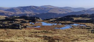
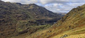
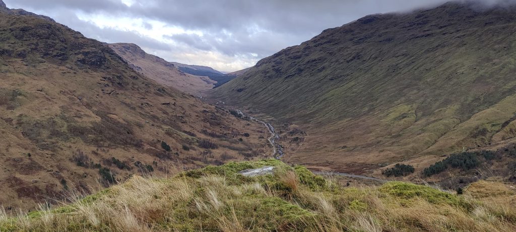
It’s raining, but not heavily, so it won’t scare us. We leave the car on the side of the road. The first obstacle is a stream. Of course, you can wade and cross, but I want to enjoy my dry shoes for more than a few minutes. We walk along the river and find a place where we can jump and probably not fall into the water. It works, thankfully.

A snow-covered summit is visible from the roadside
Stob Coire Creagach ridge and slopes

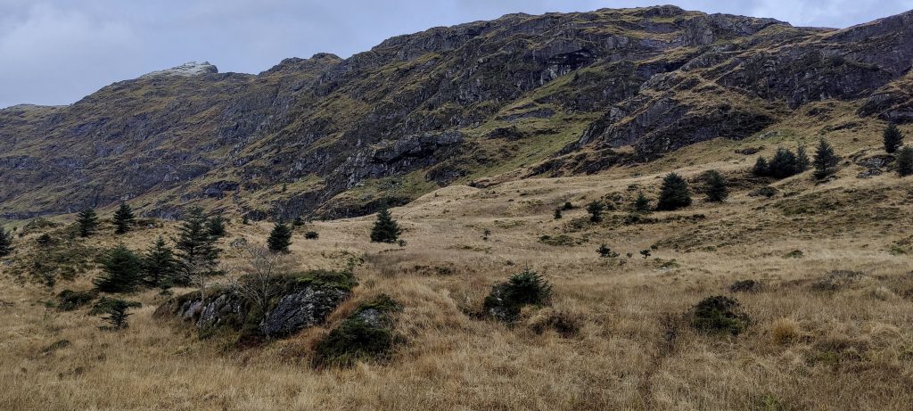
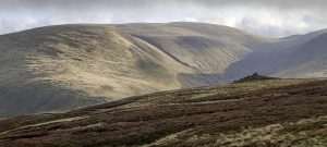
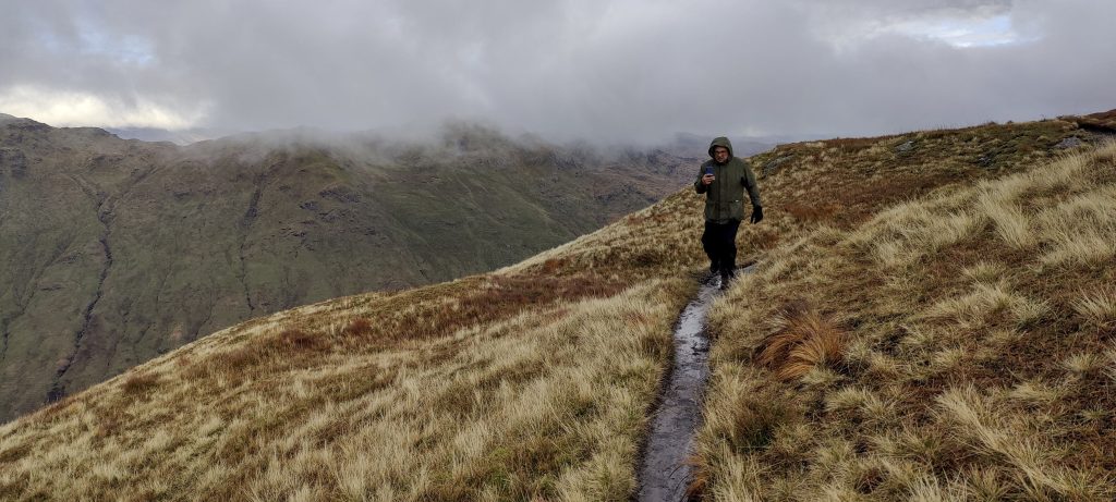
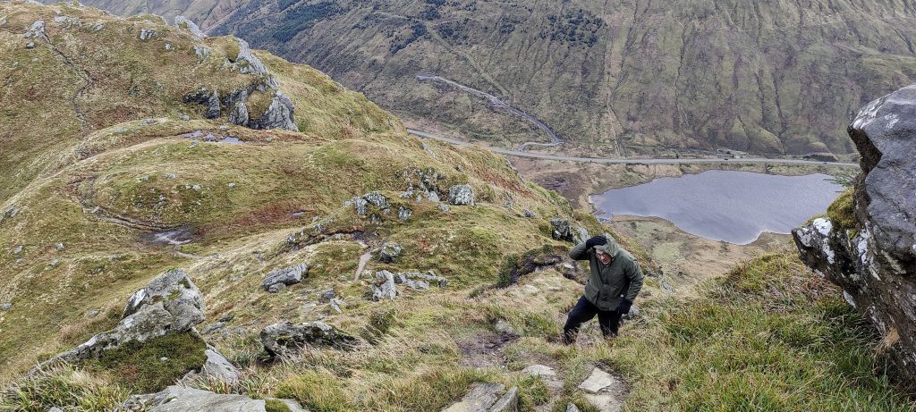
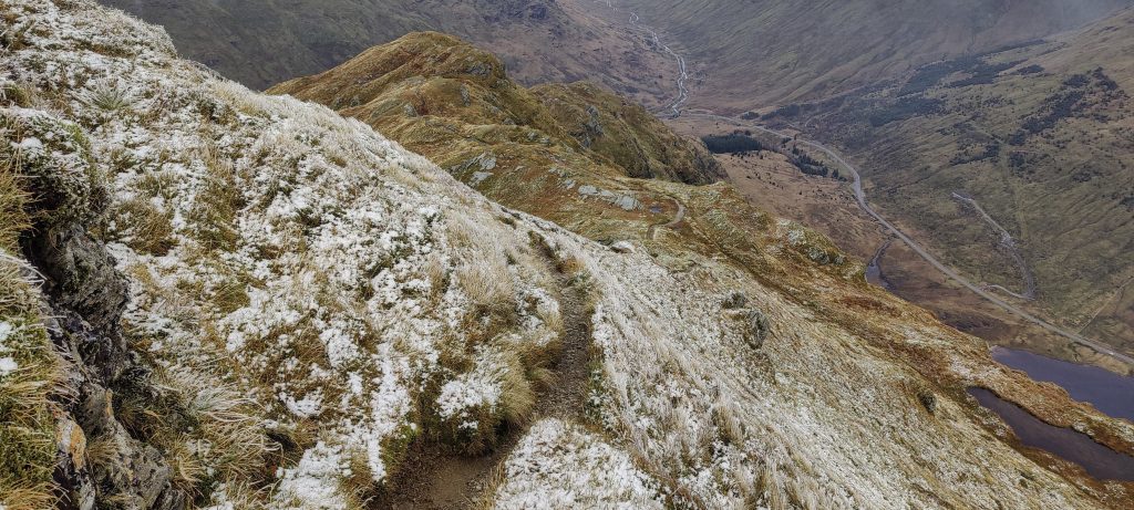
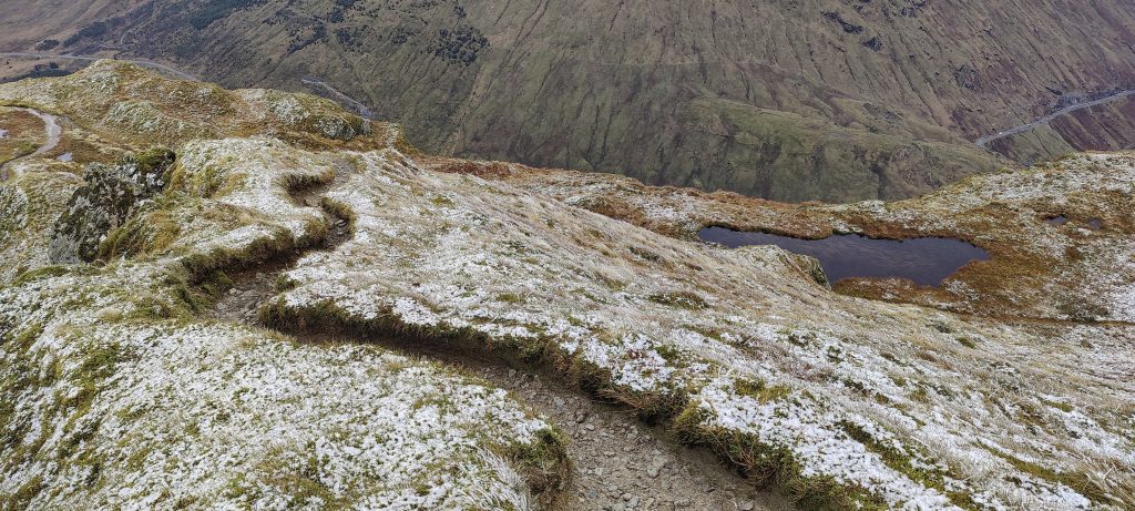
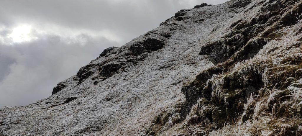
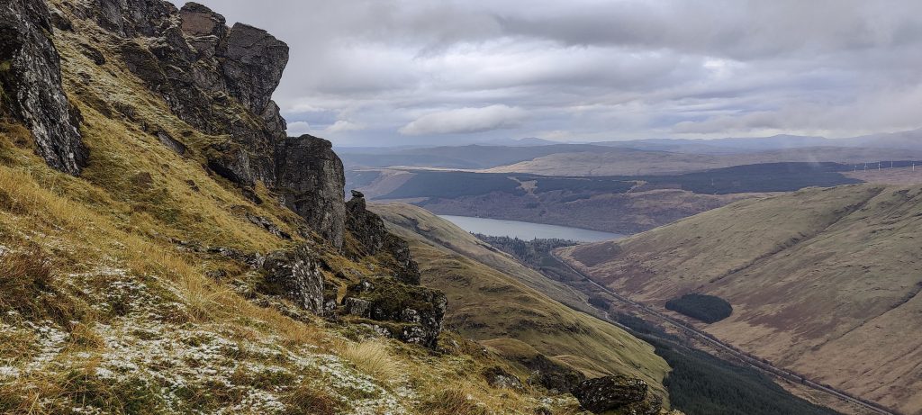
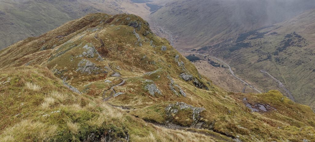
There are a few steeper slopes to scramble up, but nothing difficult; the path is clear. Most of the trail is quite easy and not steep.

Surrounding mountains and valleys
Loch Restil
Loch Fyne is in the background.
Arūnas climbs up
Finally, a snow-covered summit is close enough

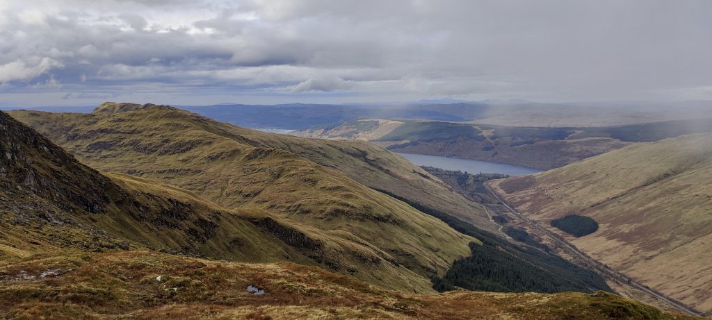
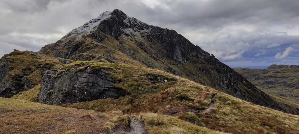
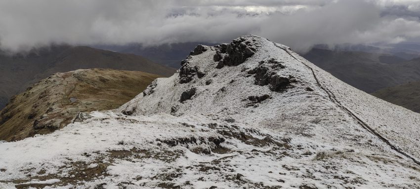
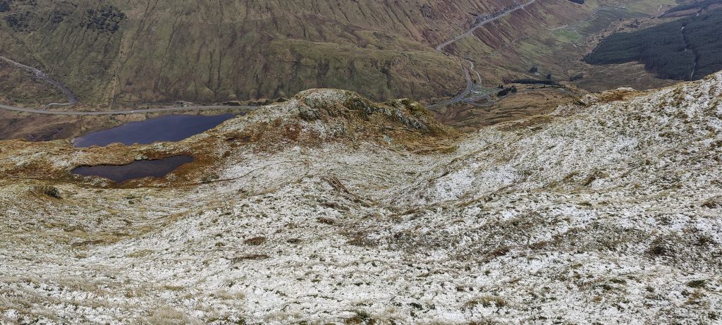
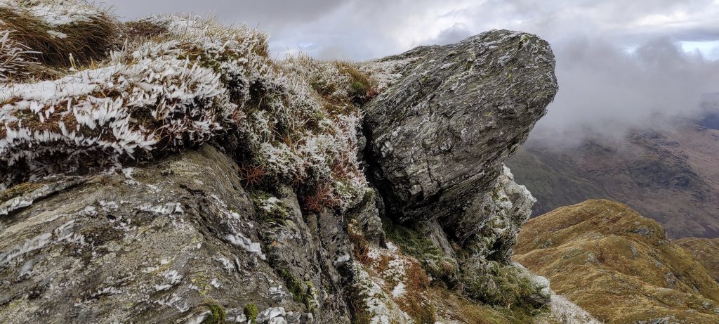
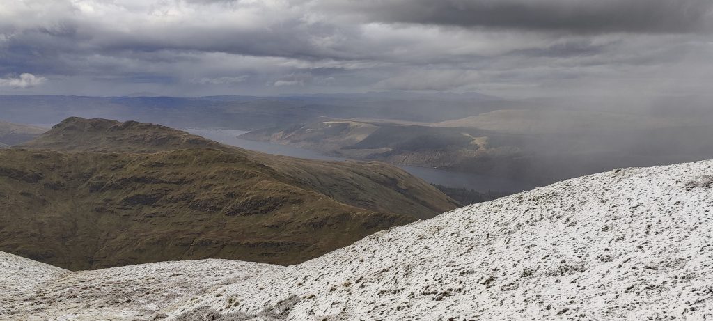
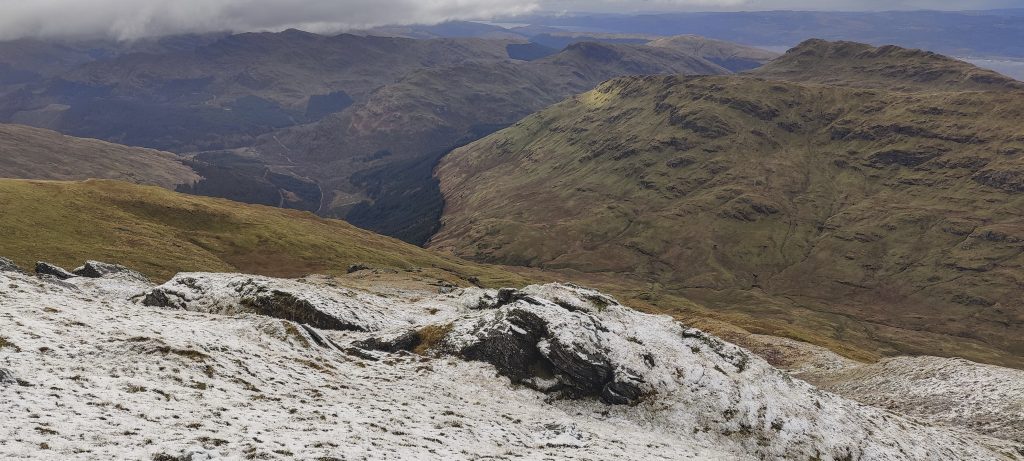
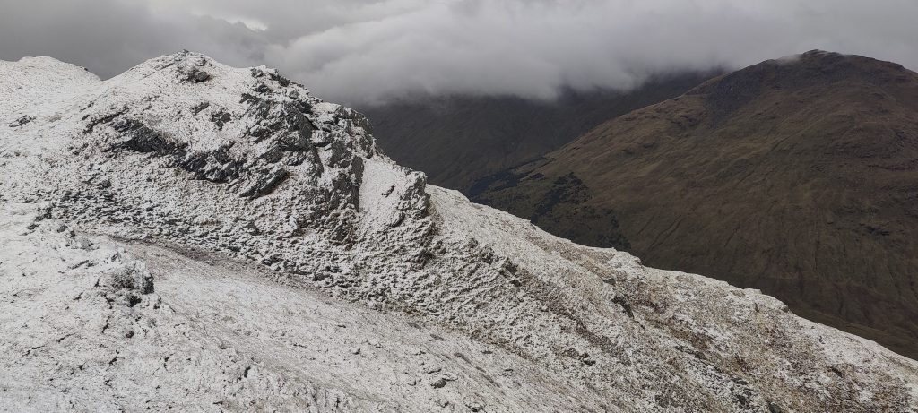
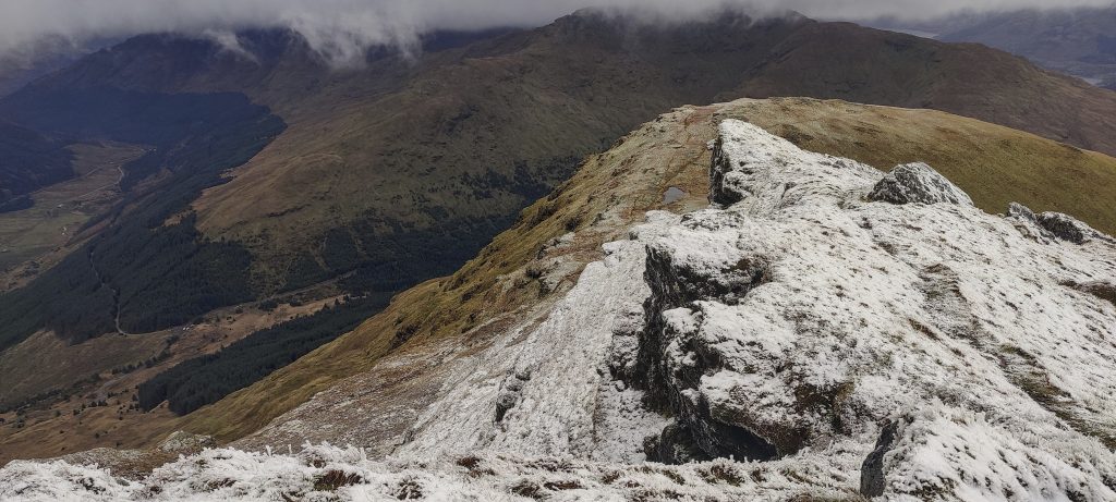
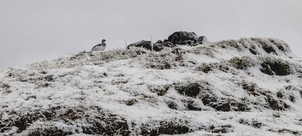
Approximately a hundred metres from the top, the grass is covered with frost. As I climb higher, the snow increases, but the trail is snow-free. We reach the first, lower summit, and after a few more minutes, we get to the highest point.

Trails are snow-free, but ice-covered in a few places.
Fresh snow from the night or morning
Rock ptarmigan (Lagopus muta millaisi)

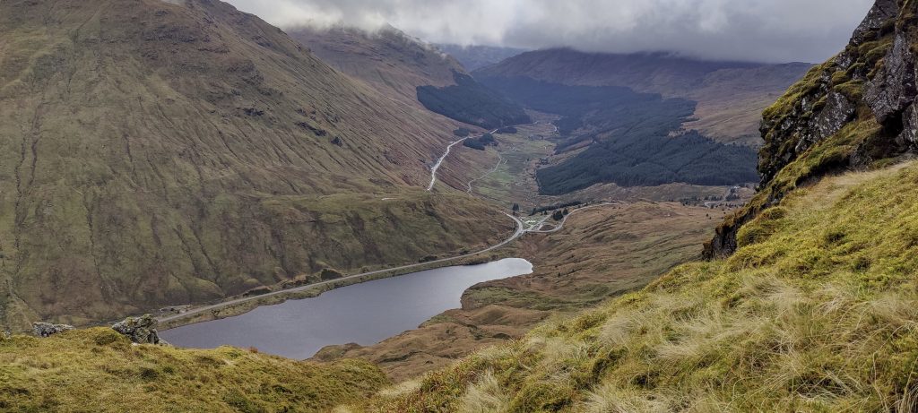
We walk down the same path, but the wind is much stronger. Several times we have to wait for the wind to slow down because it is difficult to take a step. When we reach the creek, there is nothing to save; our shoes are wet, so crossing it is not a problem any more.

Loch Fyne again
On the way down
Dunoon Street and Pier
Arūnas (left), myself (right), and an Atlantic puffin

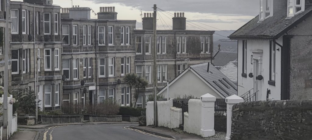
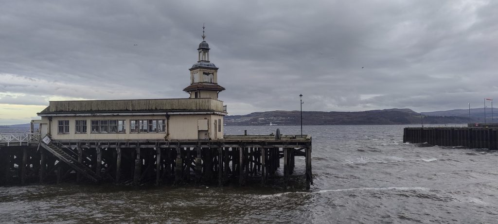
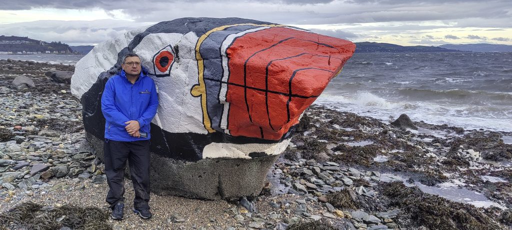
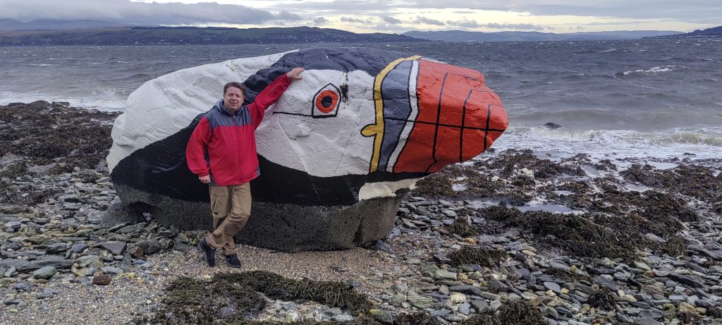
The day is not over yet, and we go to see the Atlantic Puffin sculpture in Dunoon. Tomorrow I will try to climb Ben Vorlich.


Beinn an Lochain 901 m altitude
640 m prominence
3.62 km isolation
Ranges Europe - Northwest Europe - Great Britain
Countries/regions United Kingdom – Scotland
Distance 3.00 km up 3.00 km down
Elevation 718 m gain 718 m loss
Time
1h20 up
0h05 other
1h00 down
2h25 total
Trailhead 182 m altitude 56.2391110, -4.8503050
Difficulties

microspikes would be useful because the surface is slippery due to the fresh ice on top

Links GPX trail
  • Northwest Europe 2022
  • « Broad Law
  • Ben Vorlich »

Mountain Ranges

Anatolia
Taurus Mountains
Western Anatolia
Andes
Puna de Atacama
Atlas Mountains
High Atlas
Northwestern Atlas
Central America Ranges
Costa Rica-Panama Ranges
Central Central America
Eastern Europe Ranges
Southeast Baltic Plains
Iberian Peninsula
Cordillera Cantabrica
Castile Ranges
Portugal-Galicia
Pyrenees
Malay Archipelago
Java
Nusa Tengarra
Sulawesi
Sumatra
Northwest Europe
Great Britain
North France-West Rhine Area
Southeast South America
Pampas
Sierras de Cordoba
West Africa Mountains
Bight of Benin
Cameroon Mountains

Countries / regions

Algeria
Ain Guezzam
Ain Salah
Aïn Témouchent
El Bayadh
Ghardaïa
Oran
Ouargla
Saïda
Sidi Bel Abbès
Tamanrasset
Argentina
Catamarca
Ciudad Autónoma de Buenos Aires
Córdoba
Jujuy
Salta
Tucumán
Belgium
Brussels Capital Region
Flemish Region
Cameroon
Southwest
Costa Rica
Alajuela
Cartago
Guanacaste
Heredia
Limón
San José
Czechia
Prague
Denmark
Greenland
France
Hauts-de-France
Germany
Berlin
Niedersachsen
Indonesia
Bali
Jambi
Jawa Tengah
Jawa Timur
Nusa Tenggara Barat
Sulawesi Tengah
Sulawesi Utara
Sumatera Barat
Lithuania
Vilnius County
Morocco
Béni Mellal-Khénifra
Drâa-Tafilalet
Fez-Meknes
Marrakesh-Safi
Souss-Massa
Tangier-Tetouan-Al Hoceima
Netherlands
Gelderland
Noord-Holland
Zeeland
Nicaragua
Chinandega
Managua
Masaya
Rivas
Poland
Greater Poland Voivodeship
Masovian Voivodeship
Portugal
Castelo Branco
Leiria
Lisbon
Santarém
São Tomé and Príncipe
São Tomé Province
Spain
Aragón
Asturias
Castilla-La Mancha
Castilla y León
Switzerland
Zürich
Turkey
Antalya
Isparta
Muğla
United Kingdom
England
Scotland
United States
Delaware
Florida
Maryland
New Jersey
New York
South Carolina
Pennsylvania

TRIPS

2023
West Africa II 2023
Iberian Peninsula 2023
West Africa 2023
Central America 2023
2022
Andes 2022
Northwest Europe 2022
Malay Archipelago III 2022
Malay Archipelago II 2022
Anatolia Mountains 2022
Iberian Peninsula 2022
Atlas Mountains 2022
North France-West Rhine Area 2022

archaeology (3) climb (72) food (2) hike (71) p30 (6) p100 (9) p300 (8) p600 (13) p1000 (5) p1500 (34) ribu (4) sight (35) summary (11) ultra (34)

843 km walked, 65 330 m climbed

©2023 p600.org | WordPress Theme by Superbthemes.com