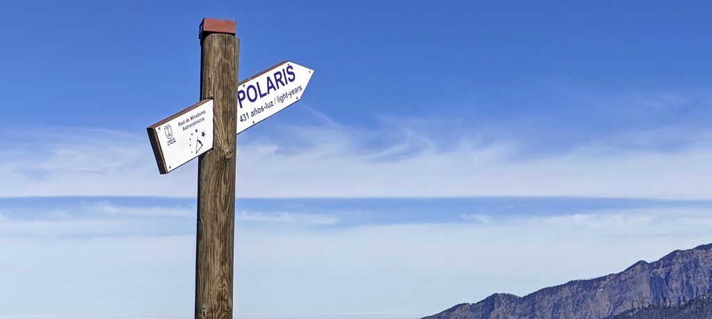
John shifted his flight from the afternoon to the morning, so I dropped him off at the airport. Now, with 3-4 hours to spare, I’m pondering my options. Naturally, I think of peaks. The more captivating ones like Volcán de la Deseada require more time than I have. Thus, I narrow down my search and spot an intriguing P104 bump—Montaña Quemada. The maps don’t show a trail all the way to the top, but this isn’t my first rodeo. Obviously, I’m heading there.
After a half-hour drive, I park in the obvious lot. It seems like guiding companies have added temporary road signs suggesting the parking isn’t for public use. Despite this, a group with a guide heads off toward the volcano trails and says nothing to me. So, I leave my car and start walking clockwise around the inviting peak.
A few minutes later, I’m stopped by a park ranger. He explains that I can’t go left due to volcanic activity and the risk of poisonous gases—voilà. Luckily, my peak is to the right. I thank him and continue. Initially, there’s a trail that descends about 50-70 meters, but soon I need to veer further right towards the summit’s slope, where the trail disappears.
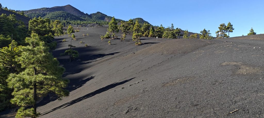
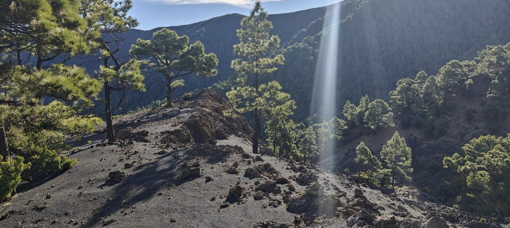
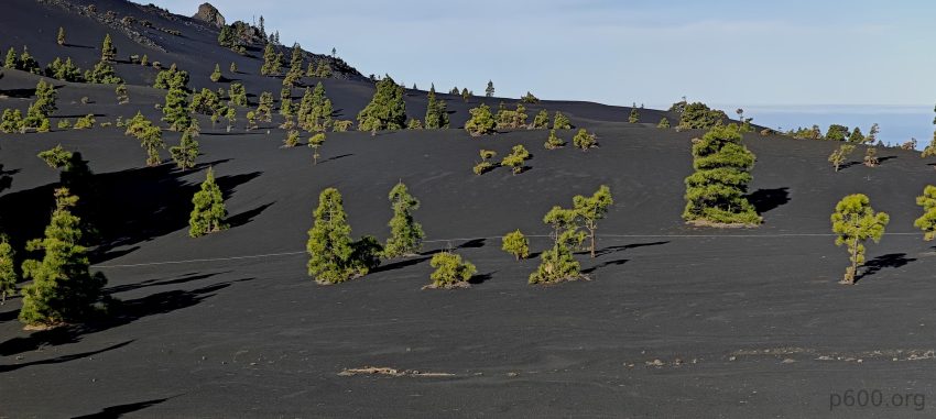
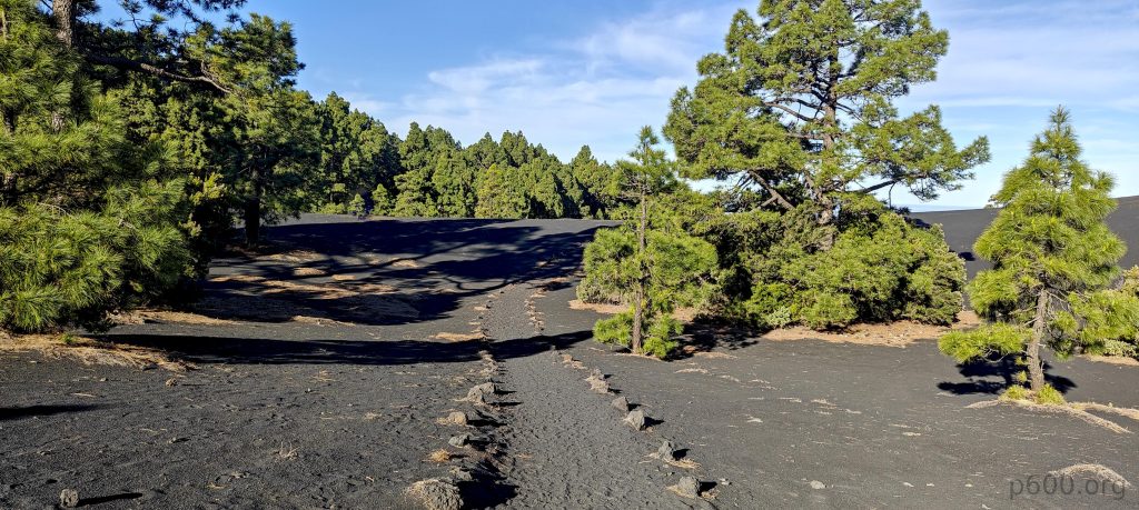
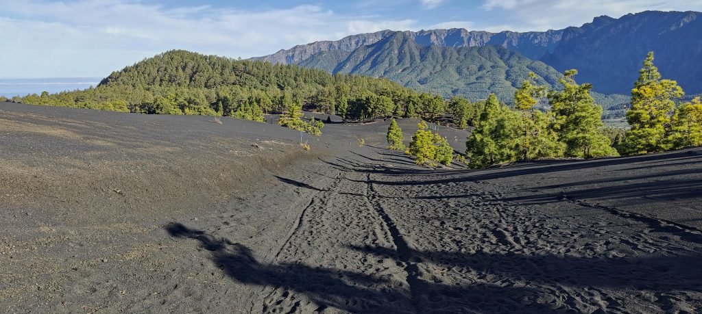
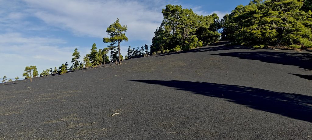
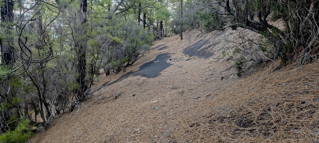
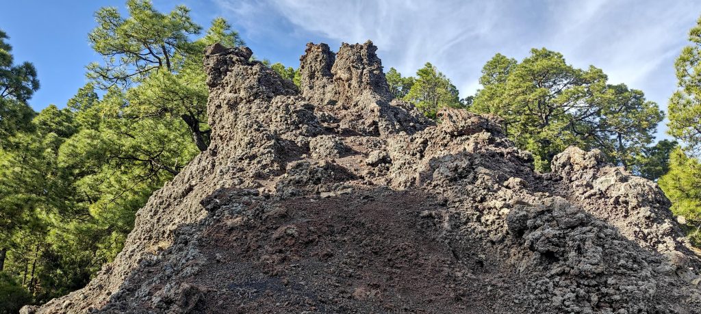
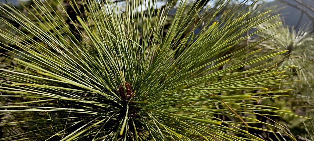
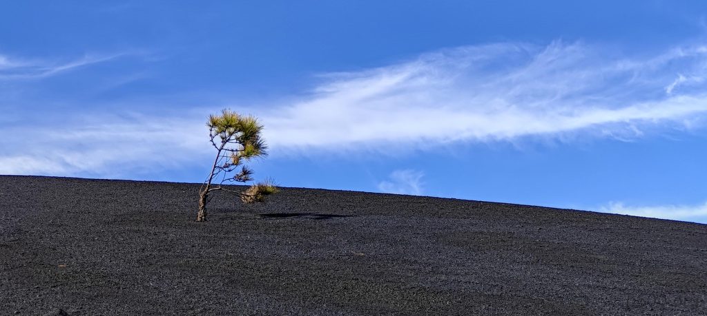
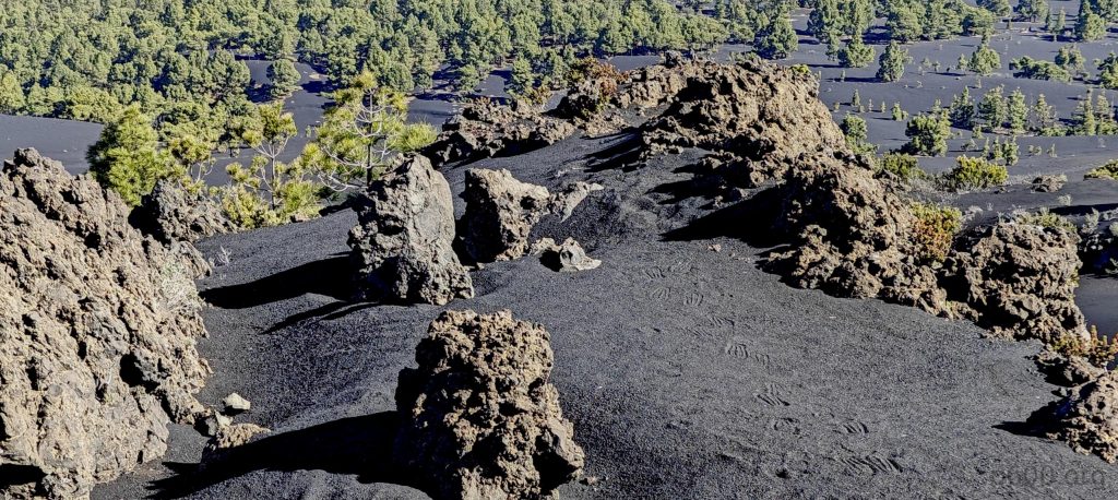
The line on the map is my only guide, and I decide to follow this virtual path. On the ground, I find faint traces of an old trail, long abandoned—a promising sign. After traveling about half a kilometer, my path diverges from the mapped line. It leads straight ahead, but I need to make a sharp right. There, a striking volcanic rock ridge awaits, the stones warm, probably heated by the sun. Numerous old trees cling to the slopes, a sign that the volcano has been dormant for at least fifty years.
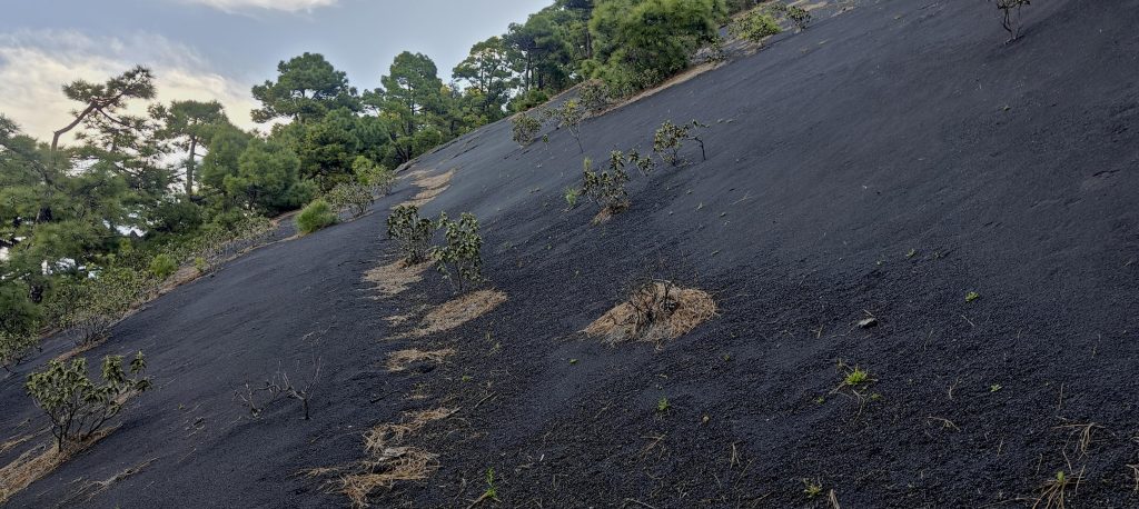
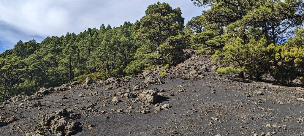
Steep climbs on a mix of volcanic ash and rocks make the ascent challenging. Dry pine needles are surprisingly slippery yet manageable. Soon, I reach the summit. The whole virtual trail is impressively ‘designed.’ Although the ranger station is out of sight, it’s up here at the summit. To mitigate risks, I don’t linger long at the top and head back down the same way. Soon, I’m back at the trail, ranger station, and parking lot. I continue the loop drive on Camino de los Volcanos towards the airport.
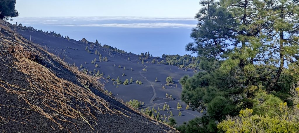
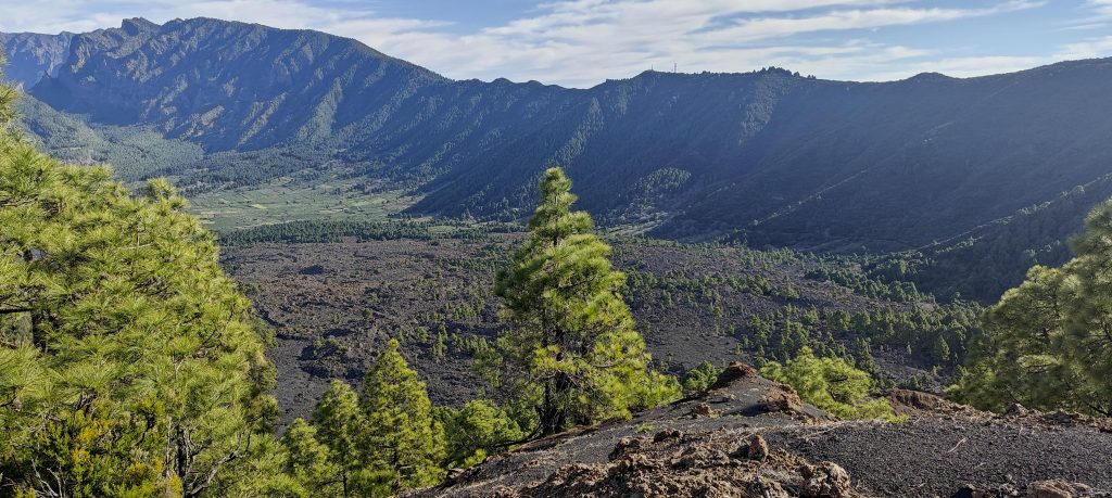
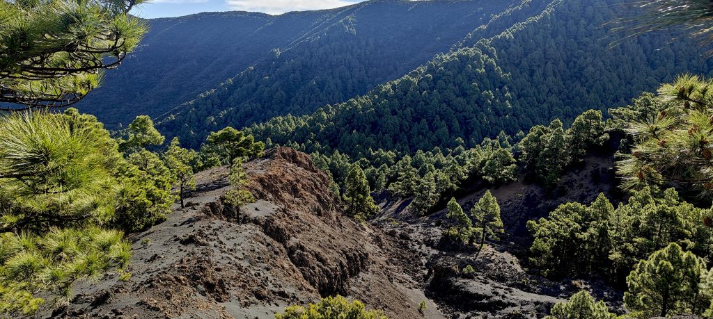
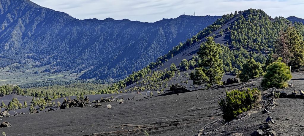
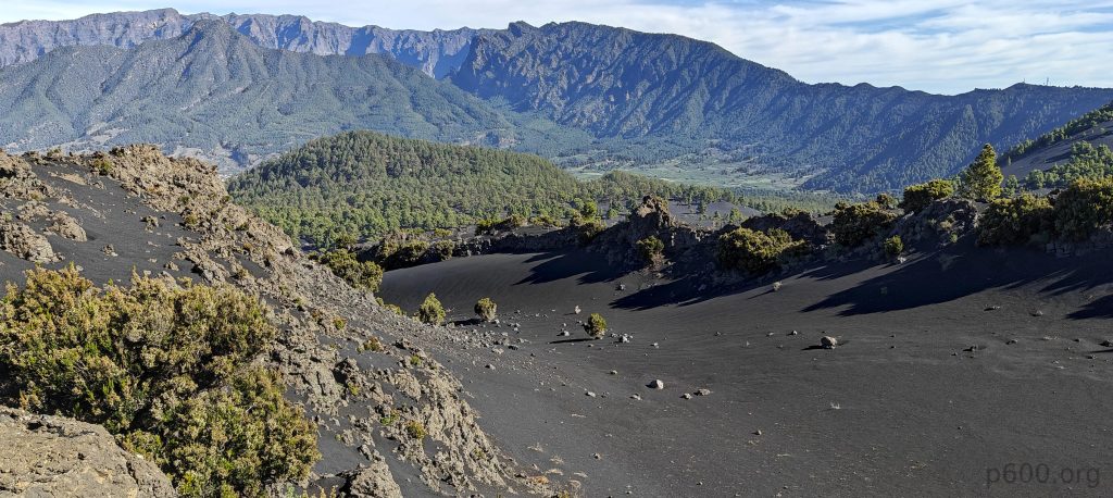
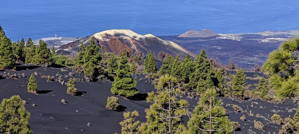
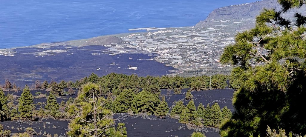
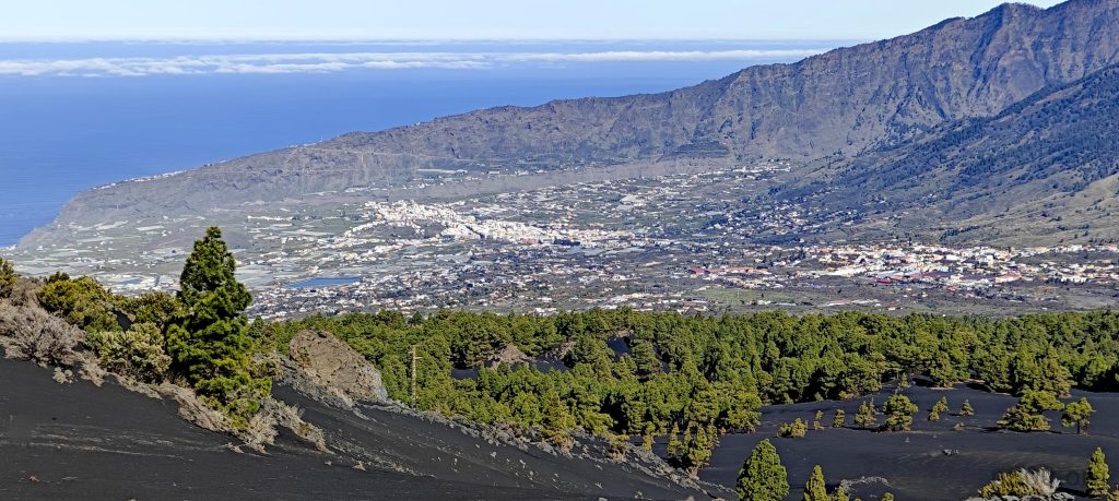
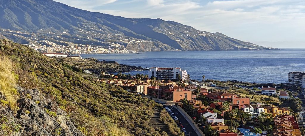
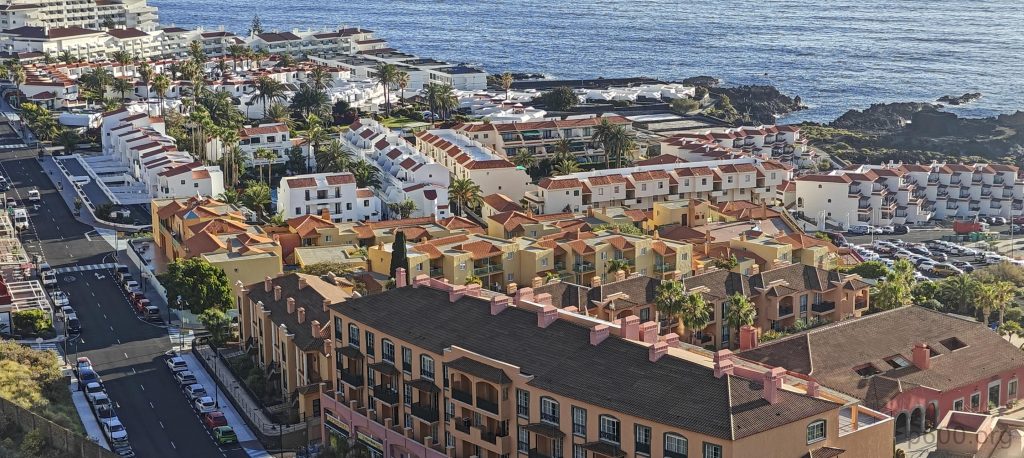
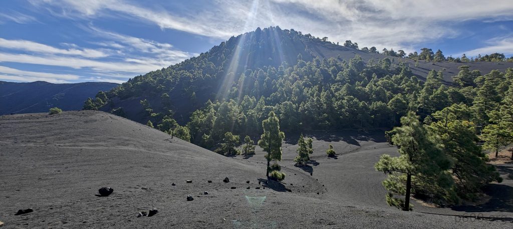
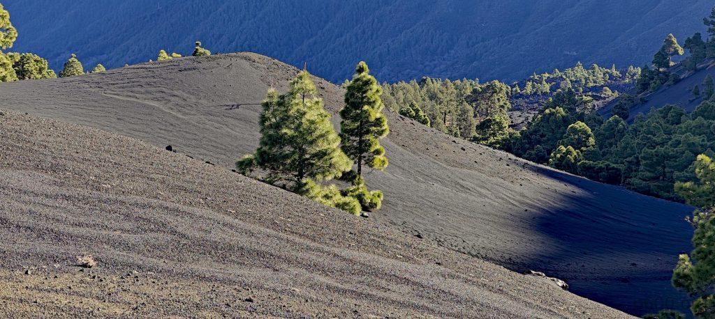
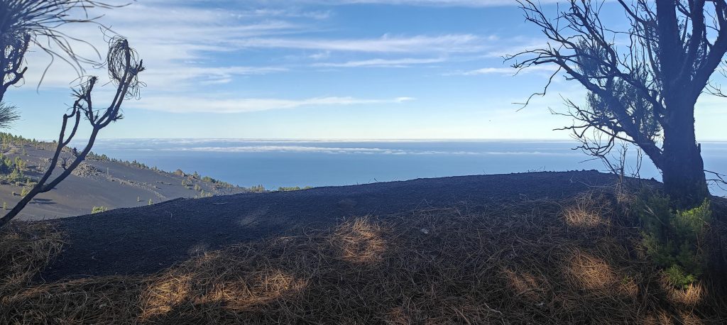
The views are breathtaking, with the volcanic ash surface adding a dramatic touch. At one vantage point, I glimpse a smoking volcano cone, its surrounding houses half-buried under lava—evidence of a recent eruption. This scenic pause is a rewarding lead-up to my next major challenge, Pico Ruivo. As I drive along Ruta de Los Volcanes towards the airport, I plan a quick detour to Montaña de Breña 567m P52.