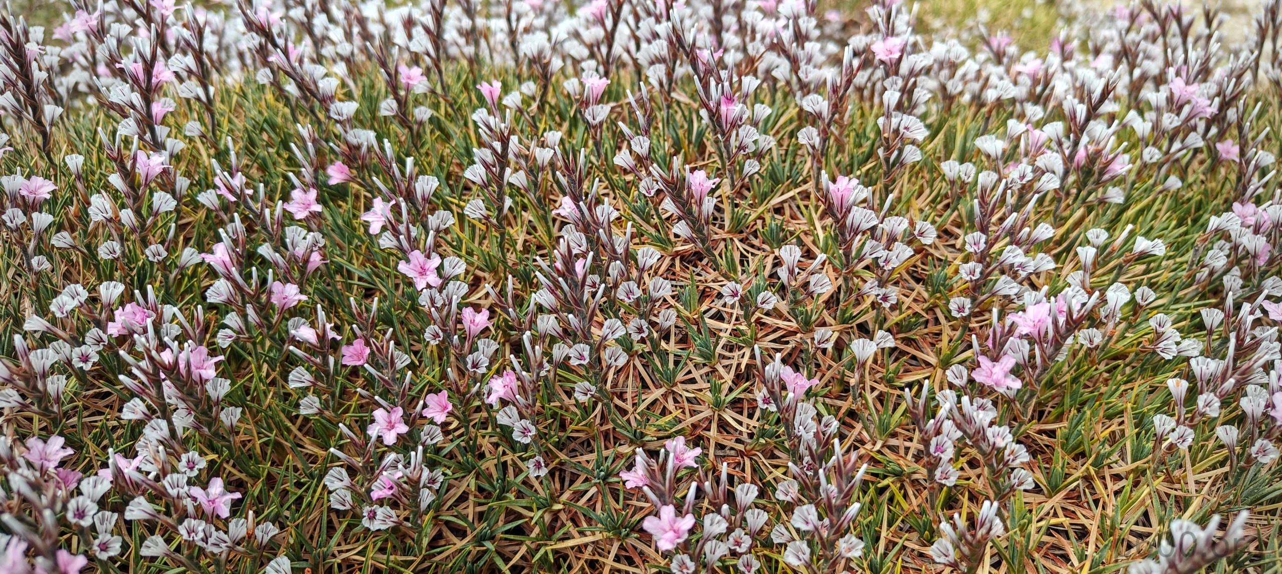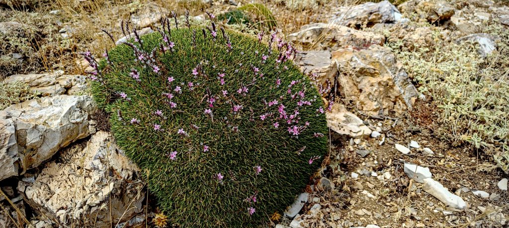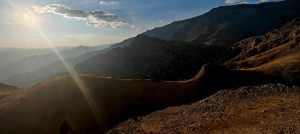
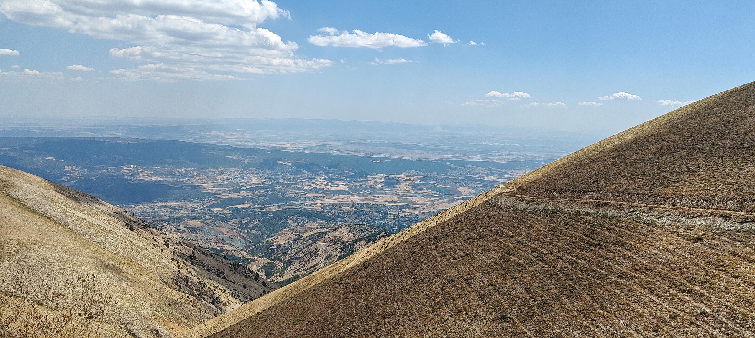
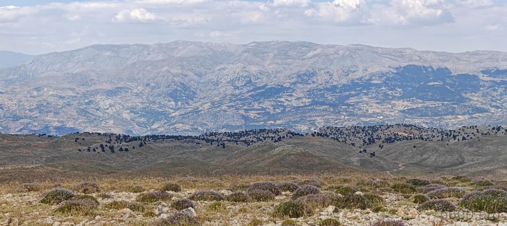
After taking in the views of Kahramanmaraş from Ahirdaği, we traveled a bit further east toward the more prominent Ahir Daği (p940). A paved road leads to the ski center, followed by a reasonably good unpaved road that approaches the summit. The road ends a few hundred meters from the top, so we parked at what seemed like the best spot—not that it made much difference, as spiky bushes dotted the landscape.

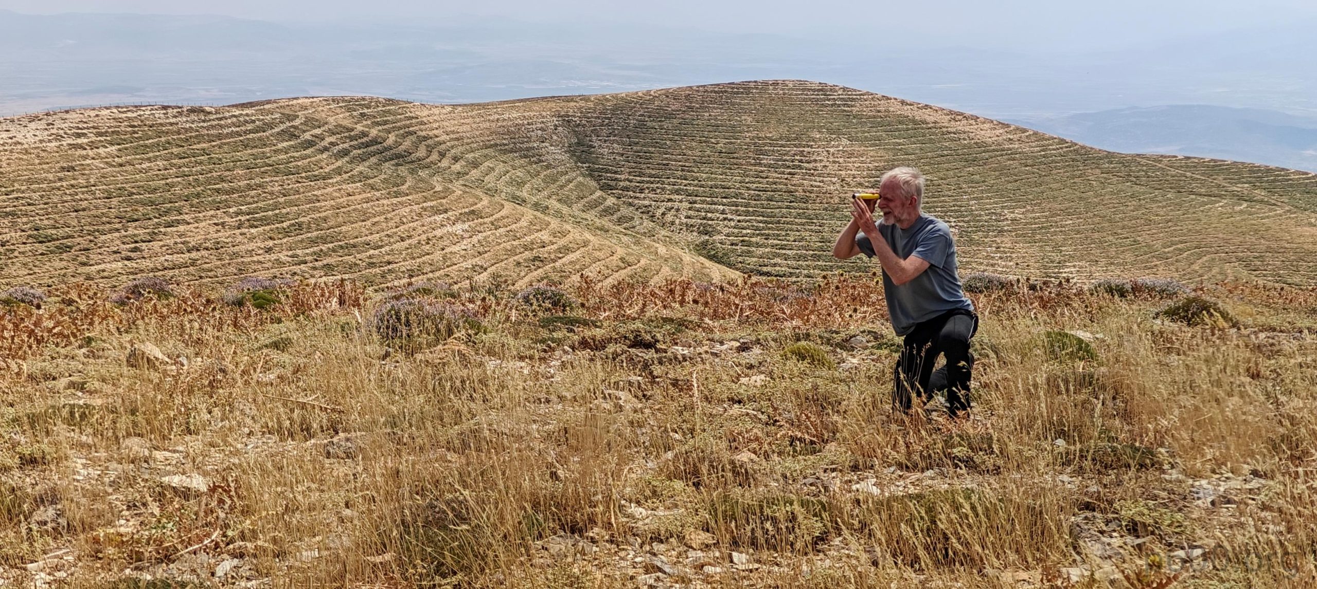
We set off on an open walk to the summit bump. According to the topo maps, the summit appeared to be a bit south, but in reality, it was lower. With a hand level in hand, Rob measured a few more nearby bumps, and we chose the highest one. A few minutes later, we were back in the car, heading to our next destination—Engizek Dağı.
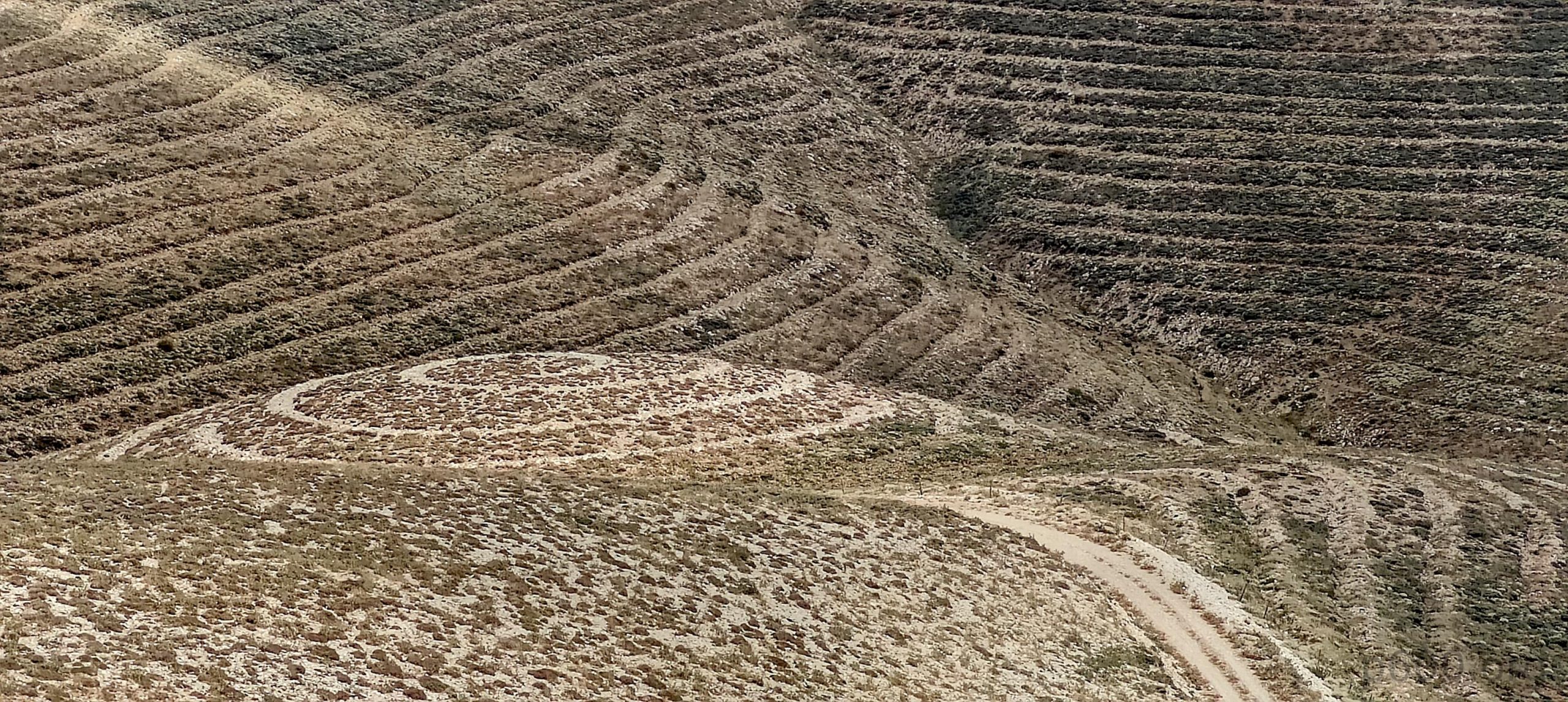
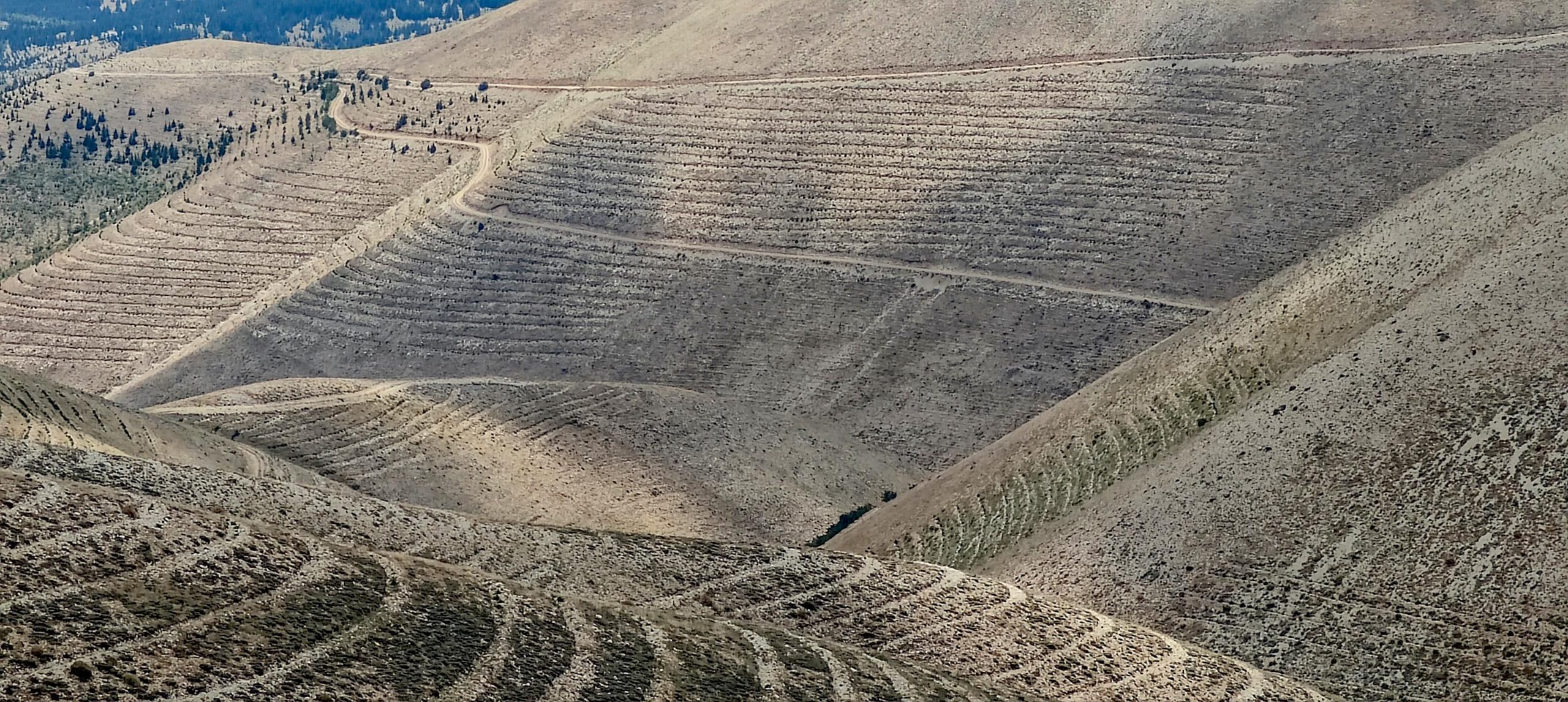
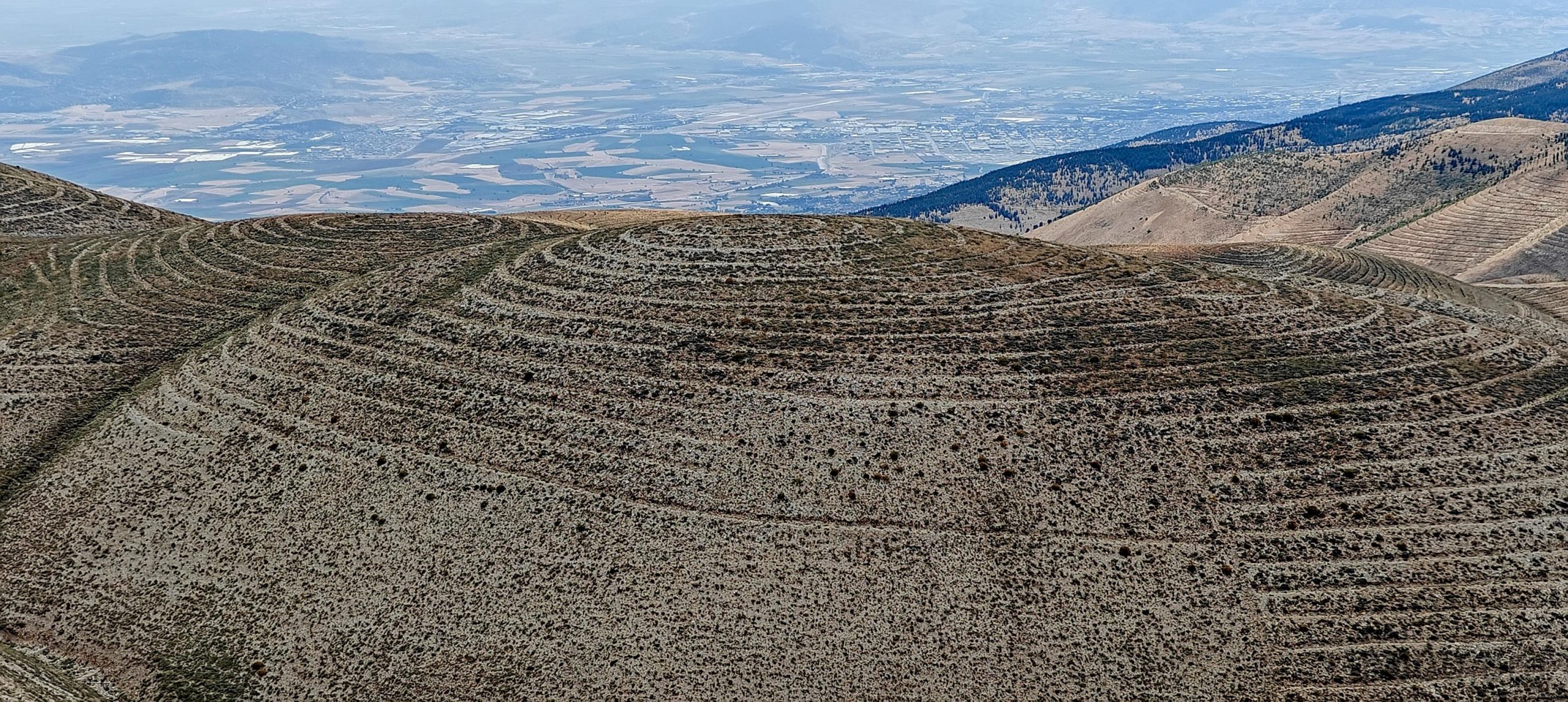
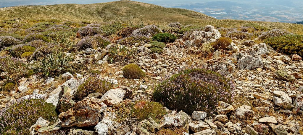
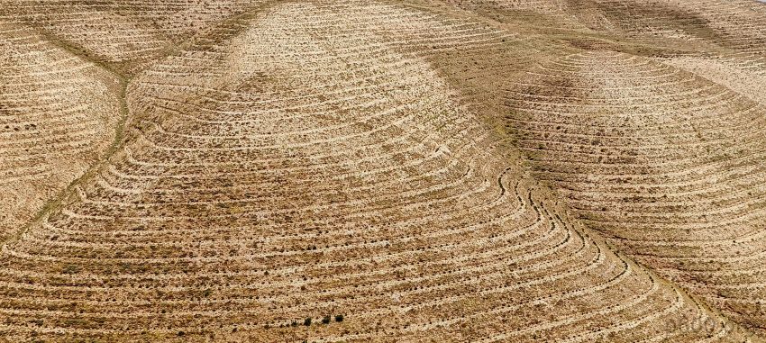
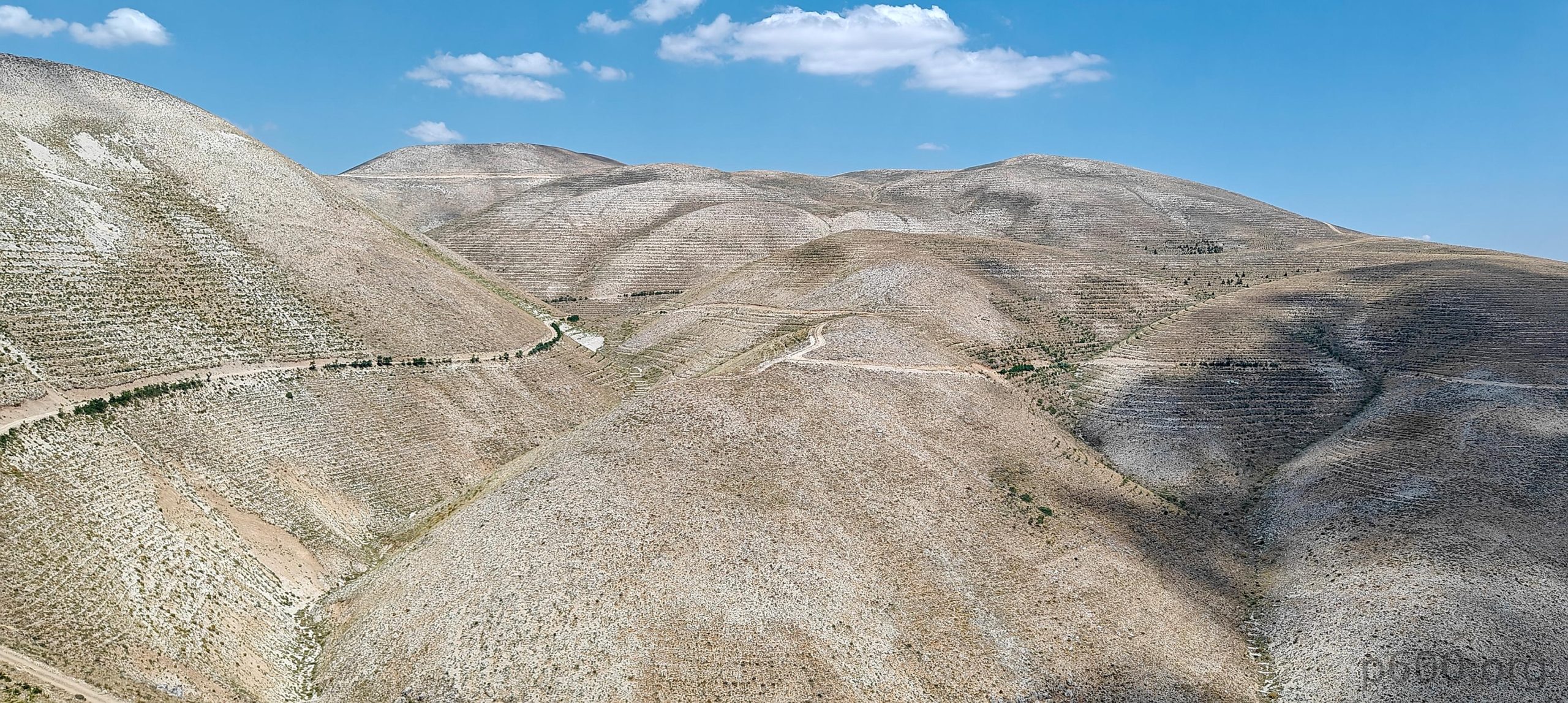
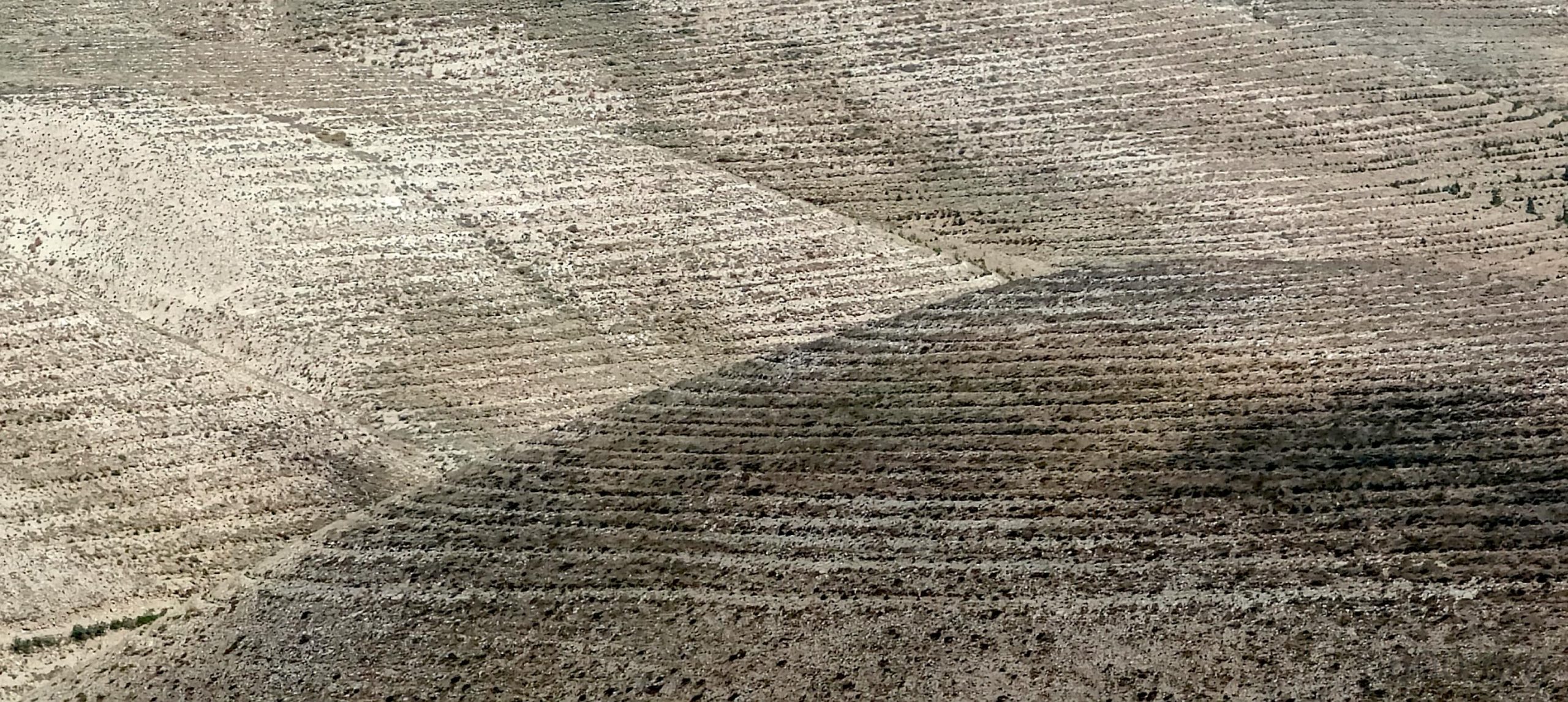
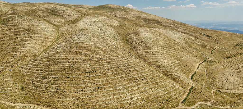
The slopes here are fascinating, covered with lines resembling natural topo contours. However, these are man-made, each representing a small, flat terrace. Their purpose? Hard to say, but probably an attempt to plant something—maybe a forest. Regardless, the sheer scale of these terraces, stretching for kilometers, shows that when people set their minds to something, they can achieve incredible things!