Skip to content
Menu
p600.org
  • home
  • map
  • trips
  • about
p600.org

Killi Tepe

hike | 2024-07-21

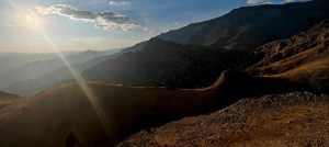
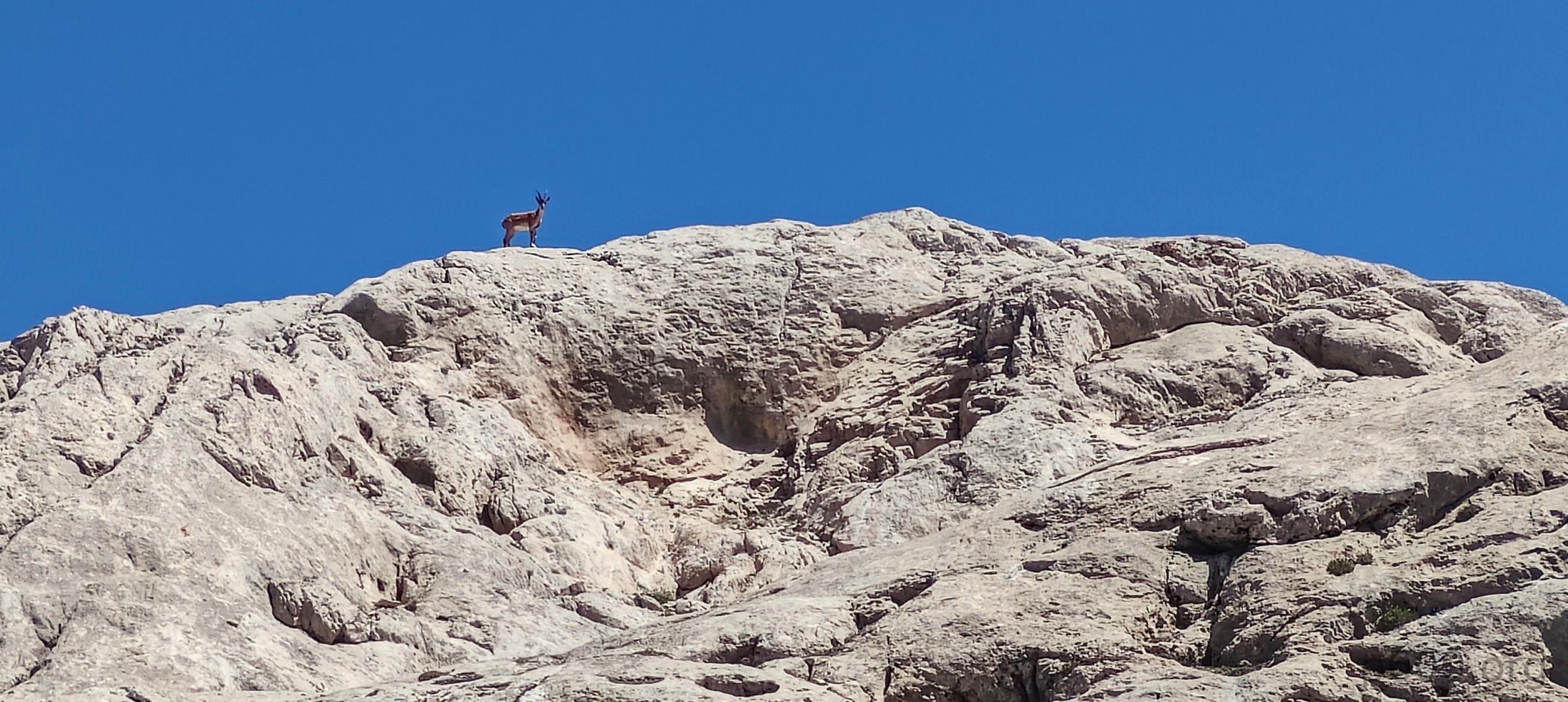
We tackled another less-climbed ultra-prominent peak with an impressive 179 km of isolation. The rarity of climbs, based on Peakbagger reports, might suggest it’s not frequently visited—though locals could be the exception. Regardless, the hike is definitely worthwhile due to the stunning and diverse landscapes. The terrain offers a mix of different views and challenges.

A smooth road lined with scenic views meanders toward the Killi Tepe

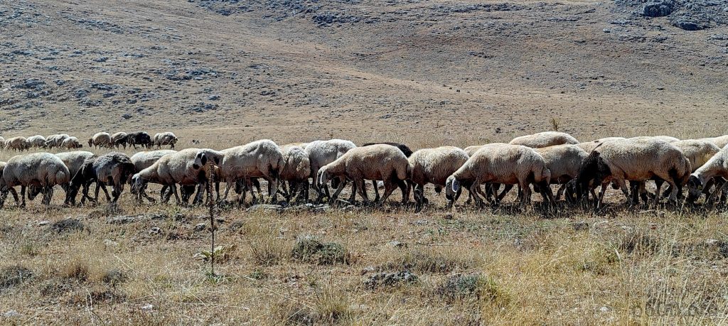
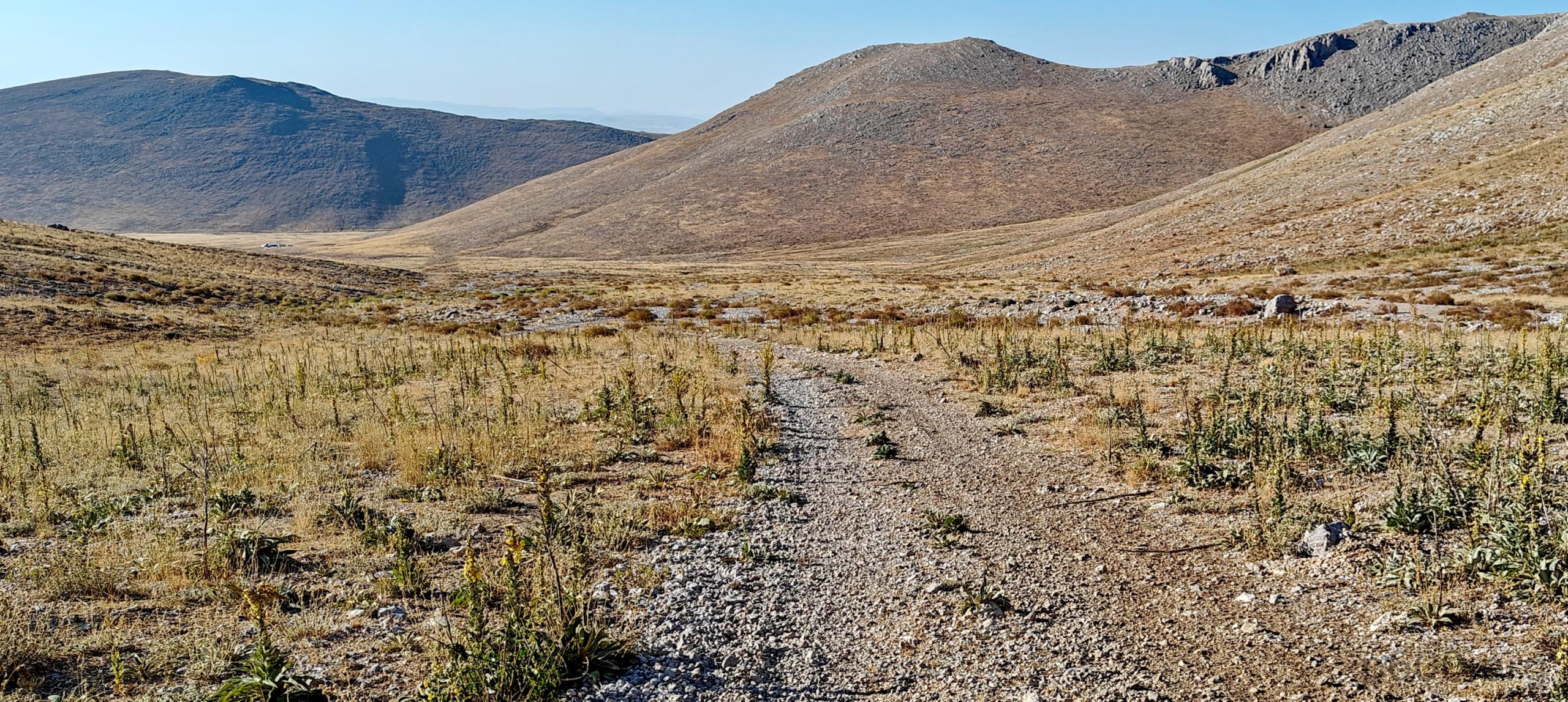
We chose to approach the peak from the north. Unsure if we’d reach the trailhead, we relied on maps and satellite images that hinted at success—and we were right. We parked at the end of the valley, a few hundred meters before the road turned into a rocky stream. Walking the extra distance was a minor inconvenience; on the flip side, it added an unexpected bonus. After parking, we changed and started our hike.

A hint of green stubbornly clings to life in the middle of July.
Our drive ends at the valley’s edge, where the gravel gets way too ambitious for our mini SUV.
The first uphill slope rewards you with great views.

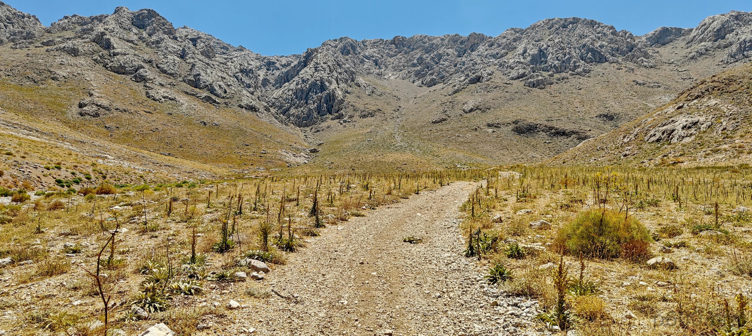
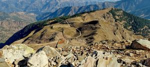
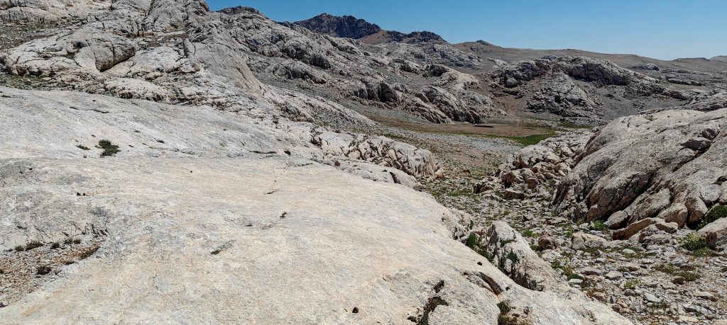
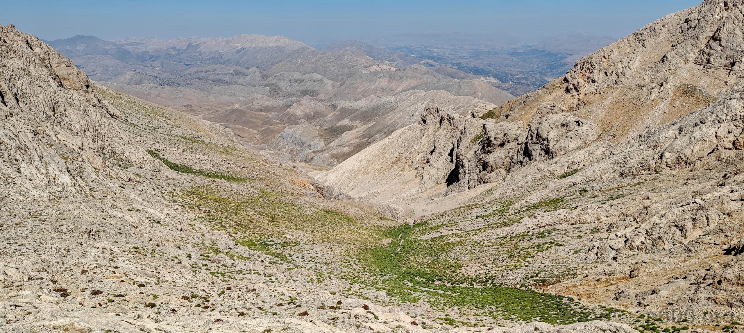
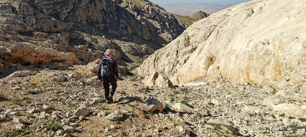
The first stretch was a relatively flat valley road along a dry stream, which eventually turned into a trail. We then climbed a gradual slope with a few switchbacks; the ascent was quite manageable. At the end of the valley, we had two options: cut straight through a large boulder saddle or add a few hundred meters to follow the trail to another saddle. We opted for the latter.

The trail guides us to the saddle.
We reach the lake bowl, framed by an impressive wall.

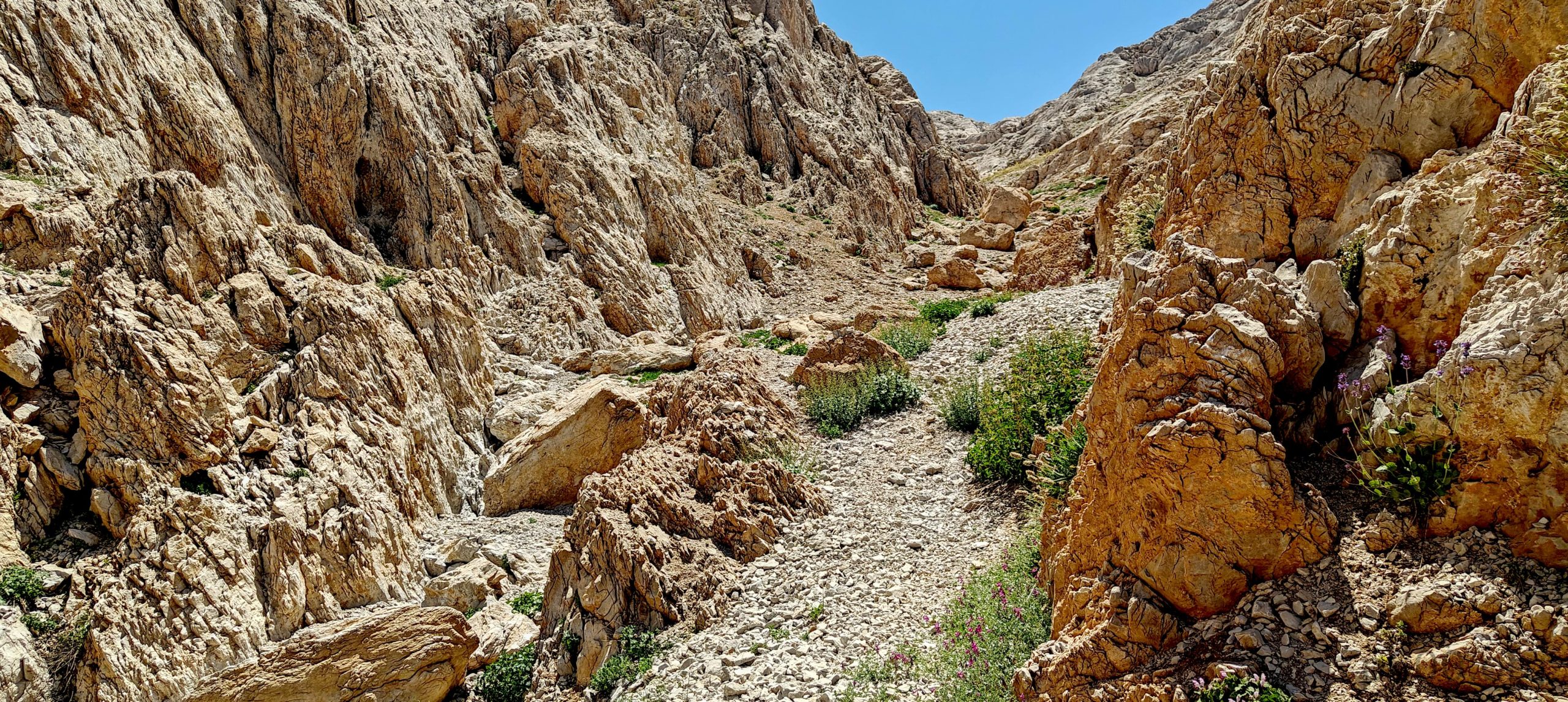
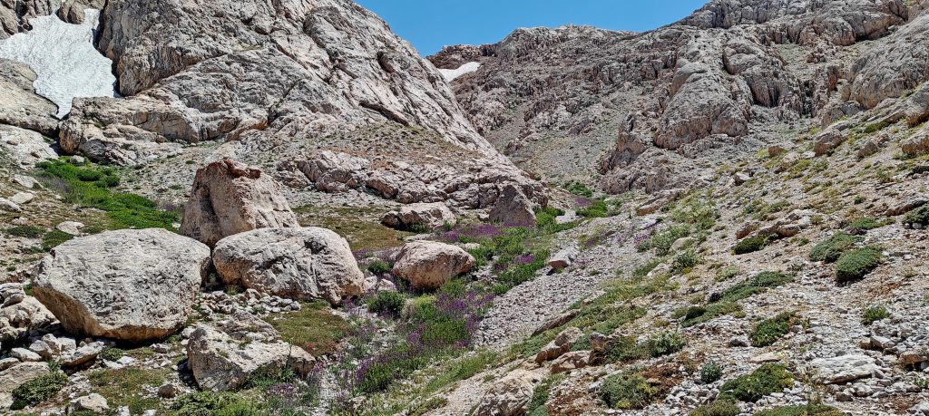
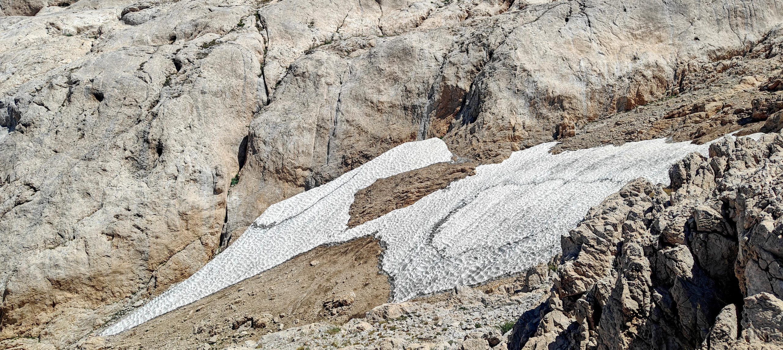
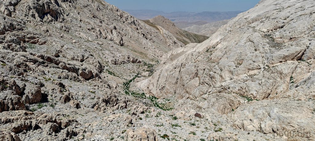
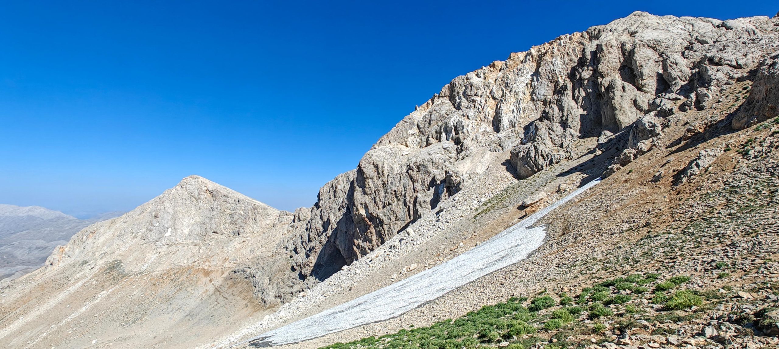
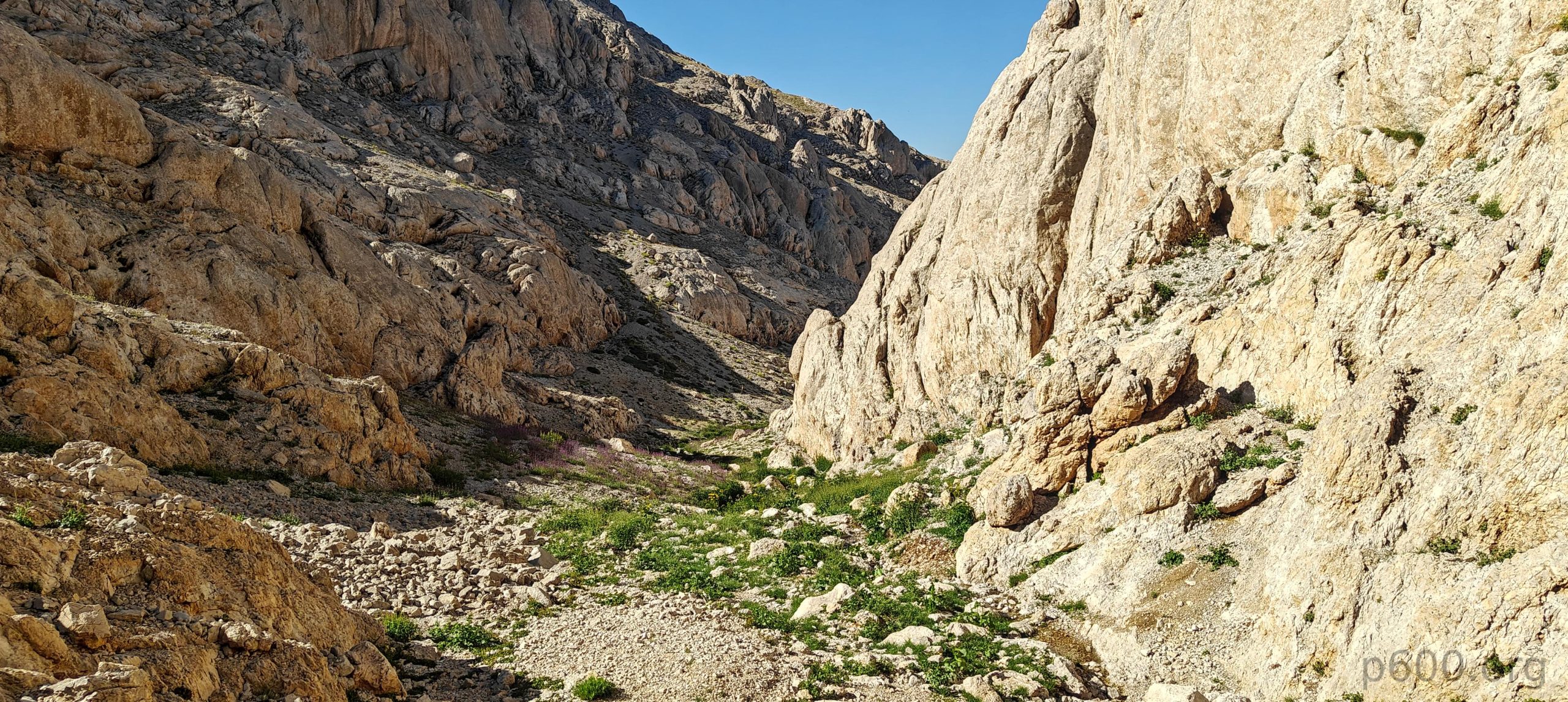
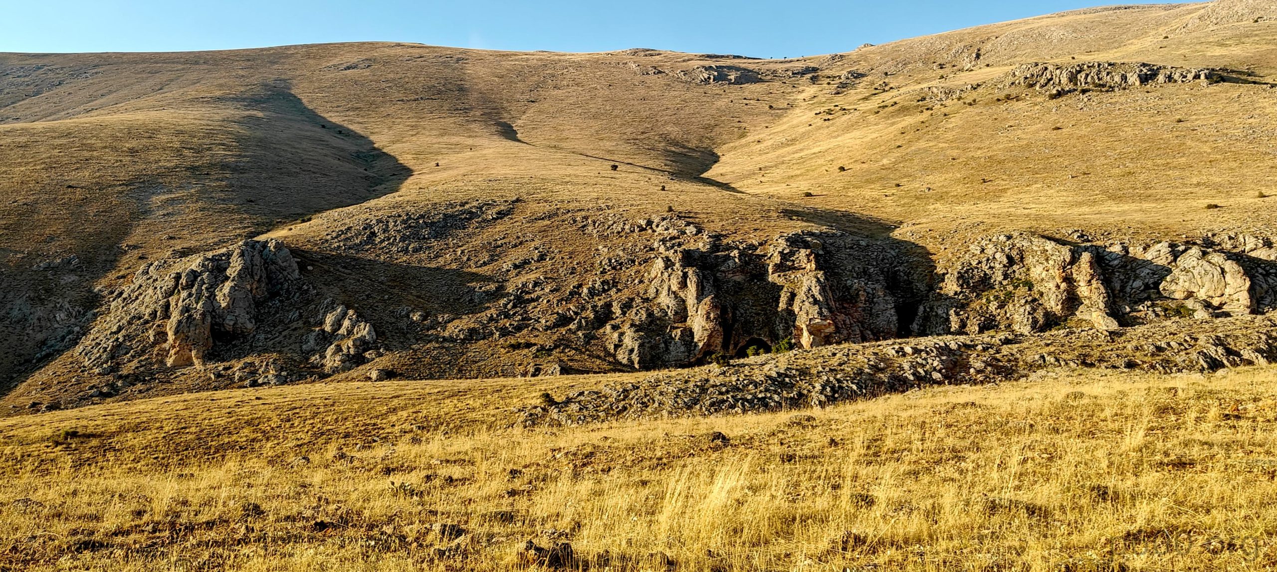
From there, we entered a greener landscape and enjoyed a flat walk before descending about 80 meters to a bowl with a lake at the far end. We didn’t reach the lake, unsure if it existed beyond the map. A few hundred meters before the lake, we turned sharply right into a gorge. Initially, we were concerned as navigating gorge bottoms can be tricky. However, the trail was relatively easy; we scrambled up the right side to avoid a small snow patch.

Interestingly, the trail sneaks from the bowl straight into a gorge.
At the gorge’s end, a small strip of snow clings on, so we scramble around it.

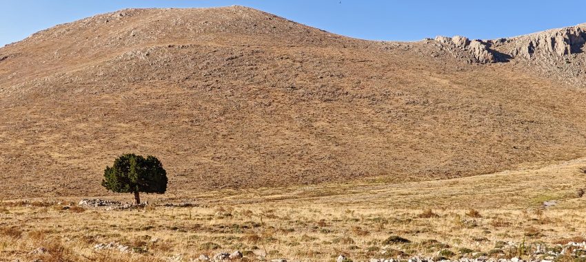
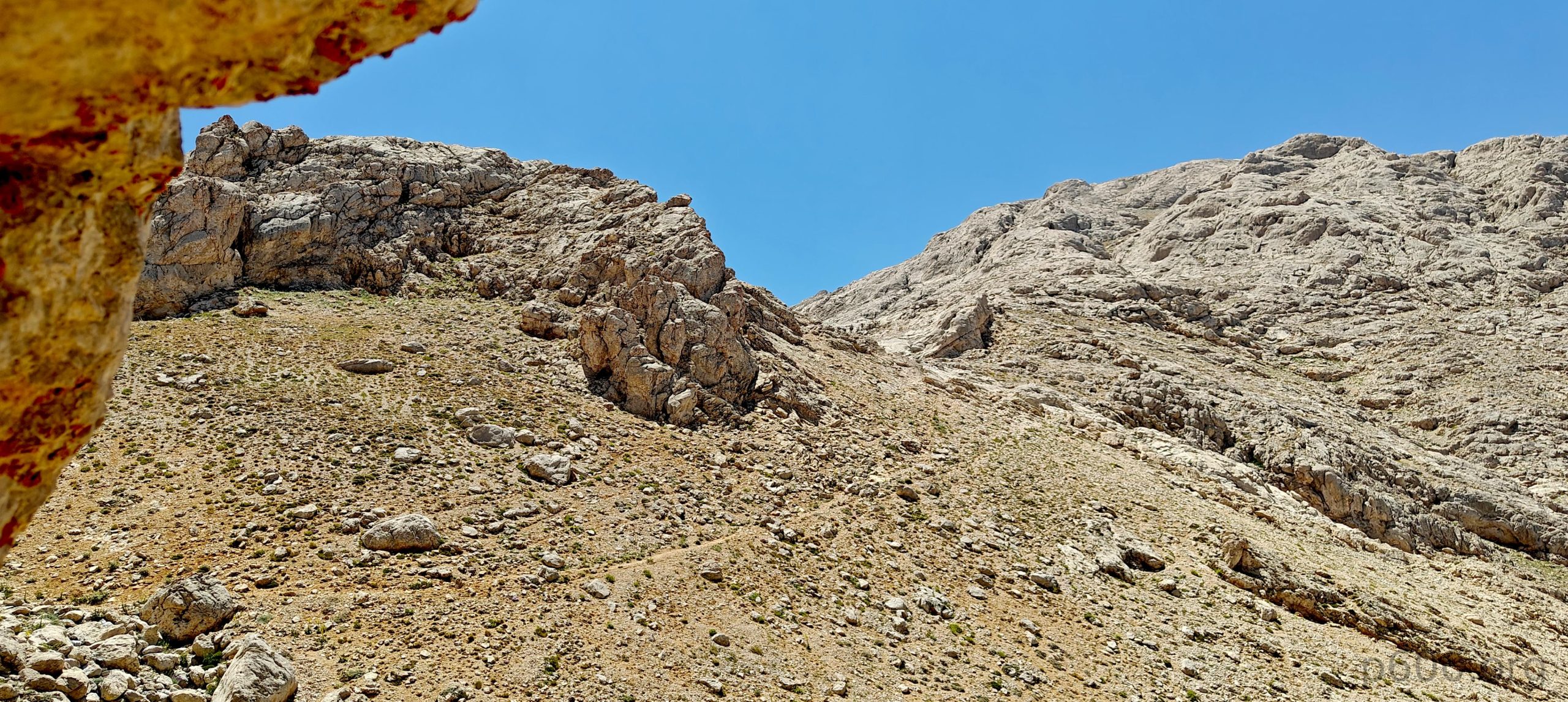
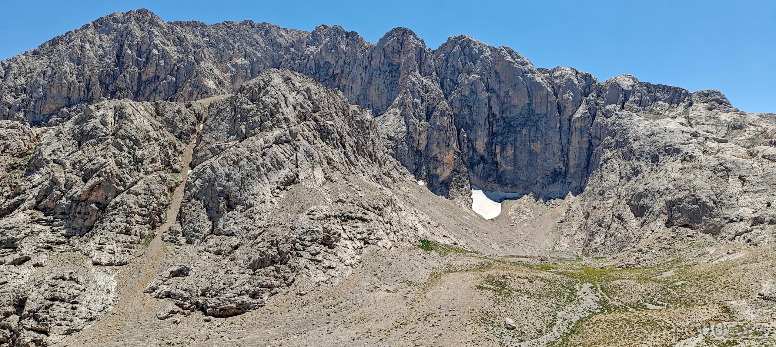
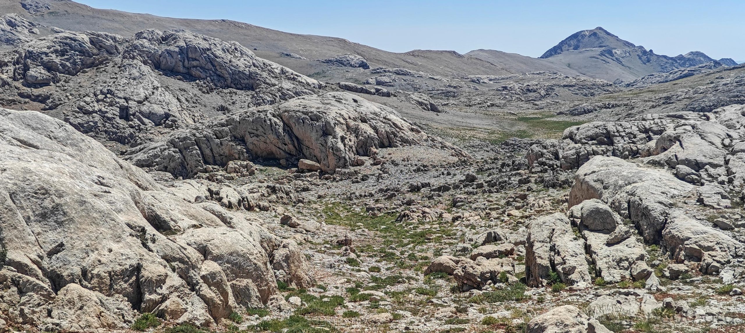
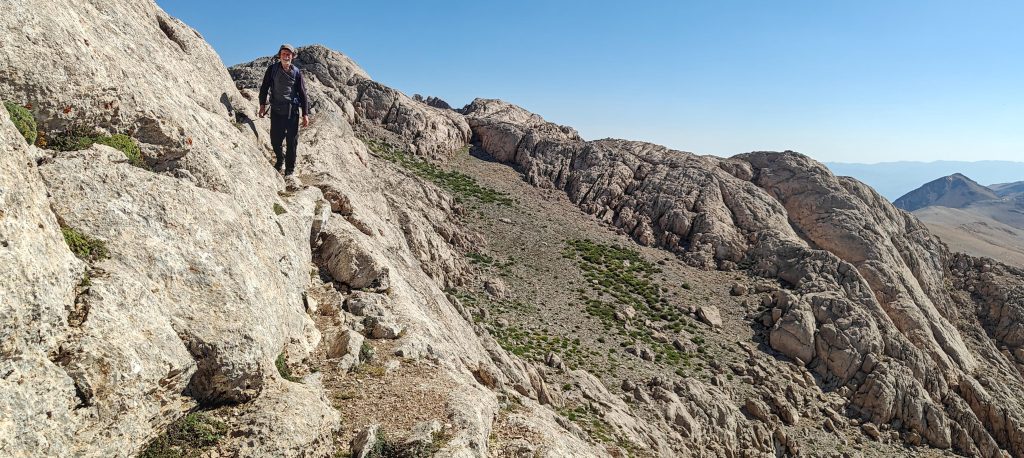
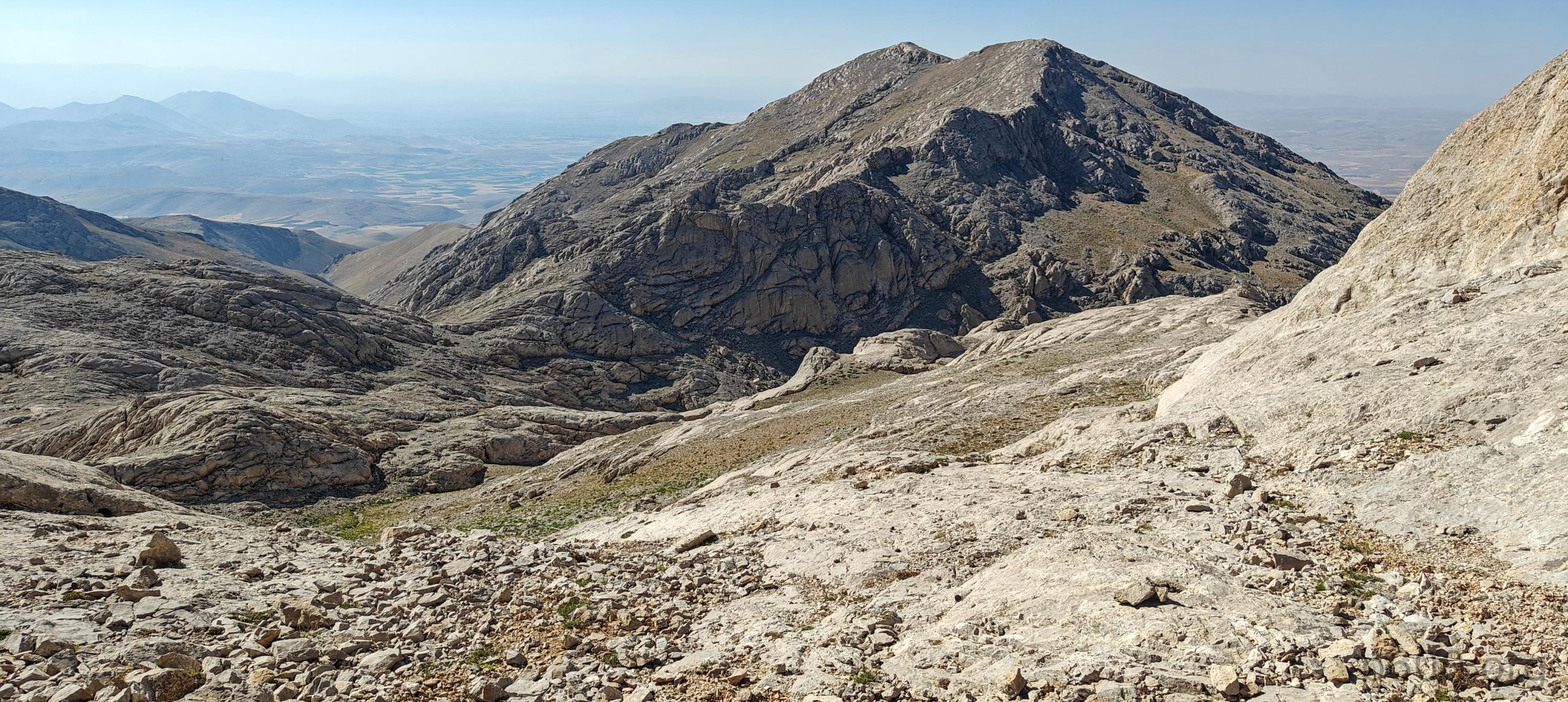
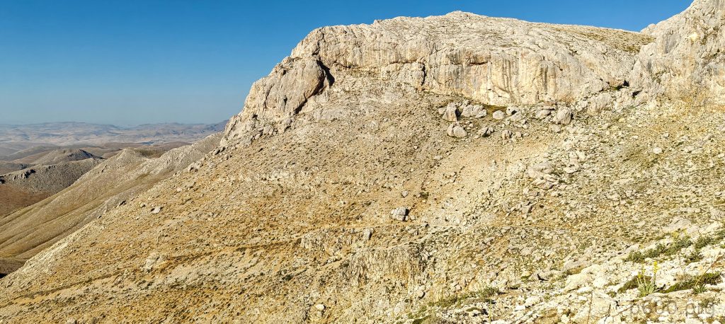
After the gorge, we reached a plateau. Rob headed toward Killi Tepe Peak 3057 bump on the left, while I traversed directly to another saddle. The landscape was fascinating. The next saddle marked the start of a new scene as we reached the ridge, which included some sharp rocks. This made the hike more engaging, with a few exposed steps adding to the challenge.

Soon, we arrive at a barren plateau.
With numerous paths and a bit of scrambling on the slopes, we choose one.
We’re not alone; some fauna stands boldly on the rocks.
The summit in the background, which we thought was our target, turns out to be another half kilometer behind.

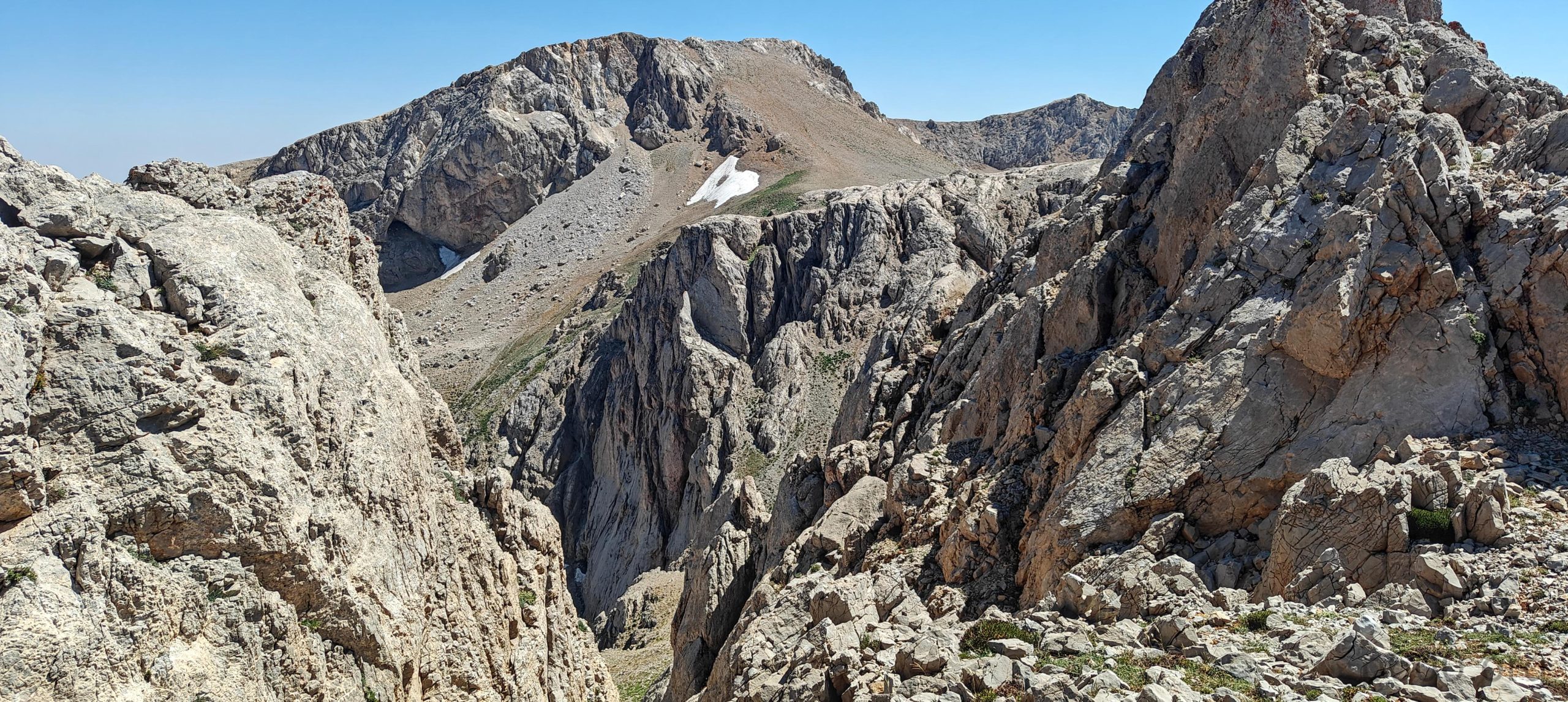
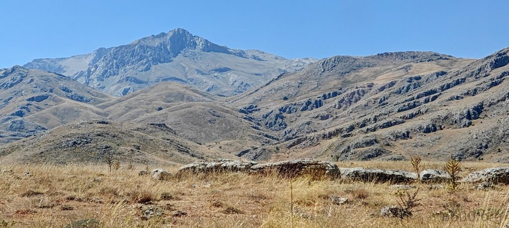
At what we initially thought was the summit, we climbed another 150 meters, only to discover that the true summit was still another half kilometer away. Despite this unexpected extra distance, the terrain was relatively flat, making the additional journey manageable. We pushed on, and soon we reached the summit cairn.

A few more patches of snow appear, but we never step on it during the hike.
The other side of the summit also looks like a reasonable route.
We temporarily mark the summit with ourselves, alongside the permanent cairn.
The views from the summit are excellent, with clear visibility and no mist.

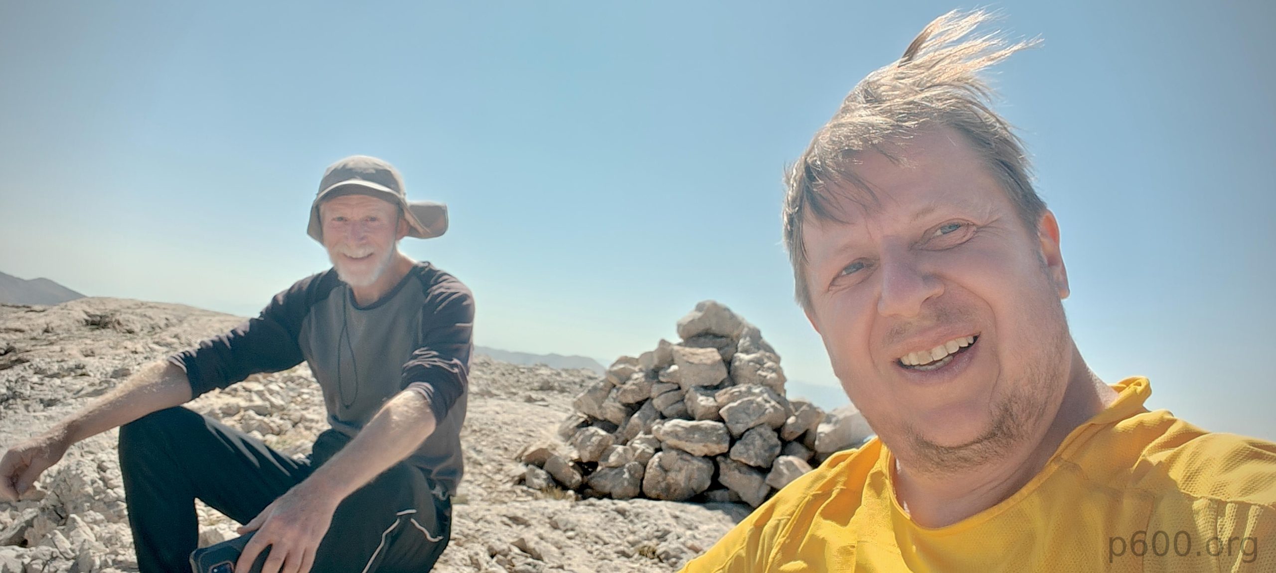
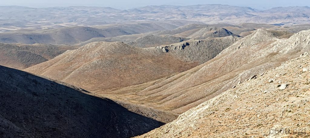
At the summit, we took in the breathtaking views and enjoyed some well-deserved snacks. Rob used his handheld device to scan the surrounding peaks and confirmed that we were indeed the highest in the area. The moment felt rewarding as the stunning panorama and our achievement sank in. After a short break, we retraced our steps, choosing a few shortcuts to bypass the ridge scrambling. Two hours later, we were back at the car. The hike proved to be both interesting and memorable, likely the highlight of our trip.

Rob traverses some rocks and heads down into the gorge.
We’re back in the gorge.
The surrounding lower peaks.
The trail on the way down is close to the car.

We drive back through “Lonely Tree Valley,” a name we gave because we saw only one tree—evidence is in the cover photo.
Late afternoon colors are always mesmerizing.
Here, practicality meets nature with a cave converted into a garage.

We headed back to Gaziantep, where I have a flight home scheduled for tomorrow. Rob, meanwhile, will climb a few more peaks in Turkey. We’ll meet again soon in Mongolia to tackle the peaks we missed last year. Our next adventure will be the modest bump of Bayanzürkh Hairhan, near Ulaanbaatar, and I’m eagerly looking forward to it.


Killi Tepe3075 m altitude
1547 m prominence
175.99 km isolation
RangesAnatolia - Central Anatolia
Countries/regionsTurkey - Kahraman Maras
Distance7.50 km up7.00 km down
Elevation1152 m gain1152 m loss
Time
3h20 up
0h20 other
2h20 down
6h00 total
Trailhead2122 m altitude38.0763760, 37.4890790
RouteWe approach the peak from the north, driving on a reasonably good road up to an altitude of 2122 meters. The road continues for about half a kilometer but turns into loose gravel, making it challenging for our vehicle. We start walking from there. The hike begins along a dry, rocky stream, then ascends a steeper slope leading to a boulder notch. We navigate around the notch and veer right past a small peak. We traverse grassy fields with a gradual ascent, and just before reaching the lake, we turn right into the gorge. The trail alternates between the gorge’s sides and bottom, with a snow band on the upper side that we bypass by scrambling over rocks on the right. After crossing a few grassy fields, we enjoy a pleasant ridge walk, followed by a 40-meter descent and a steeper slope to the summit plateau. From the plateau edge, we trek another half kilometer to the unmarked summit. On the descent, we take a shortcut through grassy fields to avoid the ridge walk. The rest of the return follows the ascent route
DifficultiesThe last kilometer to the trailhead requires a high-clearance 4WD vehicle. There is some exposed scrambling on the final ridge, but it can be avoided.
LinksGPX trail
  • Anatolia 2024
  • « Uludaz

Mountain Ranges

Anatolia
Central Anatolia
Pontic Mountains
Southeast Anatolia
Taurus Mountains
Western Anatolia
Andes
Puna de Atacama
Atlas Mountains
High Atlas
Northwestern Atlas
Central America Ranges
Costa Rica-Panama Ranges
Central Central America
East China
Taiwan
Eastern Europe Ranges
Southeast Baltic Plains
Iberian Peninsula
Cordillera Cantabrica
Castile Ranges
Portugal-Galicia
Pyrenees
Intermountain West
Great Basin Ranges
Korea-Amur Area
Taebaek Sanmae
Malay Archipelago
Java
Nusa Tengarra
Sulawesi
Sumatra
Mid-Atlantic Islands
North Atlantic Islands
Mongolia Ranges
Altai
Gobi Desert Ranges
Hangay Mountains
Northwest Europe
Great Britain
North France-West Rhine Area
Pacific Ranges
Cascade Range
Northwest U.S. Coast Ranges
Sierra Nevada
Central and Southern California Ranges
Philippines
Central Philippines
Luzon
Mindanao
Southeast Asia
Malay Peninsula
Southeast South America
Pampas
Sierras de Cordoba
Southern Africa
Malawi Highlands
West Africa Mountains
Bight of Benin
Cameroon Mountains
Guinea Highlands

Countries / regions

Algeria
Ain Guezzam
Ain Salah
Aïn Témouchent
El Bayadh
Ghardaïa
Oran
Ouargla
Saïda
Sidi Bel Abbès
Tamanrasset
Argentina
Catamarca
Ciudad Autónoma de Buenos Aires
Córdoba
Jujuy
Salta
Tucumán
Belgium
Brussels Capital Region
Flemish Region
Cameroon
Southwest
China
Taiwan
Costa Rica
Alajuela
Cartago
Guanacaste
Heredia
Limón
San José
Czechia
Prague
Denmark
Greenland
France
Hauts-de-France
Occitania
Germany
Berlin
Niedersachsen
Indonesia
Bali
Jambi
Jawa Tengah
Jawa Timur
Nusa Tenggara Barat
Sulawesi Tengah
Sulawesi Utara
Sumatera Barat
Lithuania
Vilnius County
Mongolia
Bayankhongor
Govi-Altai
Khovd
Omnogovi
Ovorkhangai
Ulan Bator
Zavkhan
Morocco
Béni Mellal-Khénifra
Drâa-Tafilalet
Fez-Meknes
Marrakesh-Safi
Souss-Massa
Tangier-Tetouan-Al Hoceima
Mozambique
Zambezia
Netherlands
Gelderland
Noord-Holland
Zeeland
Nicaragua
Chinandega
Managua
Masaya
Rivas
Philippines
Bicol Region (V)
Cagayan Valley (II)
Calabarzon (IV-A)
Central Luzon (III)
Cordillera Administrative Region
Davao Region
Metro Manila
Soccsksargen (XII)
Western Visayas (VI)
Poland
Greater Poland Voivodeship
Masovian Voivodeship
Portugal
Castelo Branco
Leiria
Lisbon
Madeira
Santarém
Qatar
Ad-Dawhah
São Tomé and Príncipe
São Tomé Province
Sierra Leone
Northern Province
Western Area
Singapore
South Korea
Gyeongsangnam-do
Seoul
Spain
Aragón
Asturias
Castilla-La Mancha
Castilla y León
Catalonia
Islas Canarias
Switzerland
Zürich
Turkey
Antalya
Bitlis
Erzincan
Hakkâri
Igdir
Isparta
Kahraman Maras
Muğla
United Kingdom
England
Scotland
United States
California
Delaware
Florida
Maryland
Nevada
New Jersey
New York
Pennsylvania
South Carolina
Utah

TRIPS

2024
Southern Africa 2024
Mid-Atlantic Islands 2024
North America 2024
Anatolia 2024
Korea-Amur Area 2024
East China 2024
2023
Mongolia Ranges 2023
Philippines 2023
West Africa III 2023
West Africa II 2023
Iberian Peninsula 2023
West Africa 2023
Central America 2023
2022
Andes 2022
Northwest Europe 2022
Malay Archipelago III 2022
Malay Archipelago II 2022
Anatolia Mountains 2022
Iberian Peninsula 2022
Atlas Mountains 2022
North France-West Rhine Area 2022

archaeology (3) climb (157) food (2) hike (155) p30 (17) p50 (4) p100 (24) p300 (12) p600 (17) p1000 (11) p1500 (76) ribu (10) sight (46) summary (16) trig (44) ultra (76)

1 591 km walked, 121 298 m climbed

©2025 p600.org | WordPress Theme by Superbthemes.com