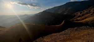
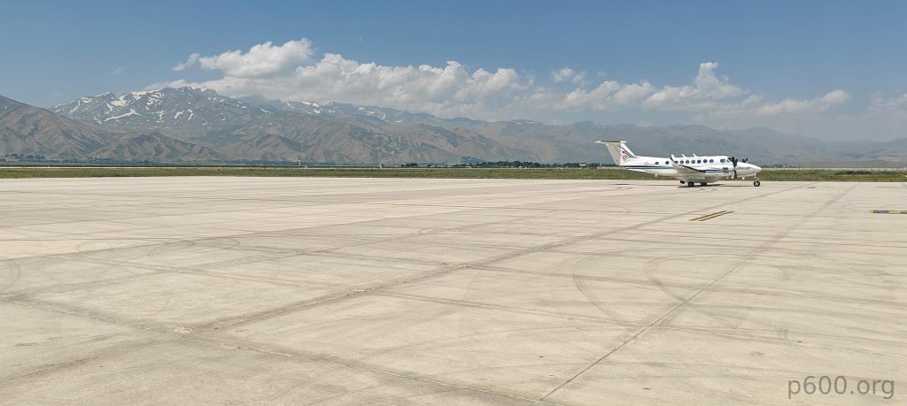
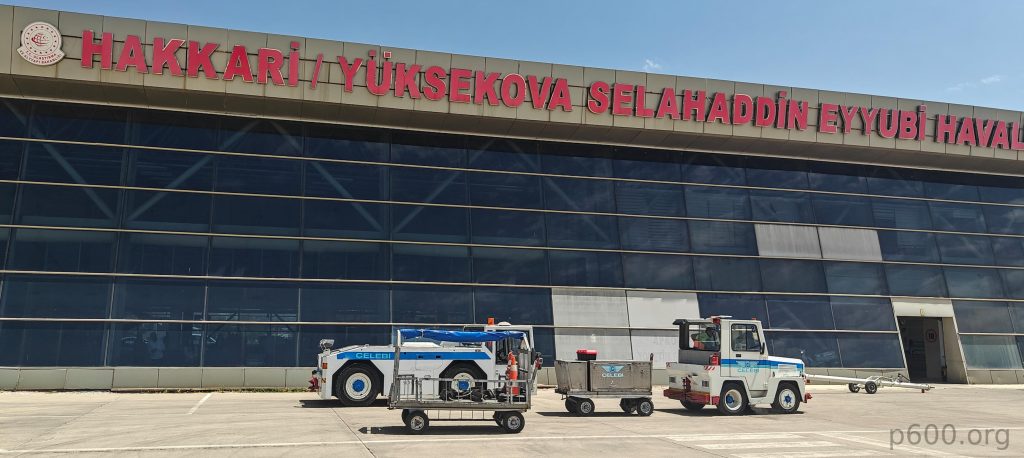
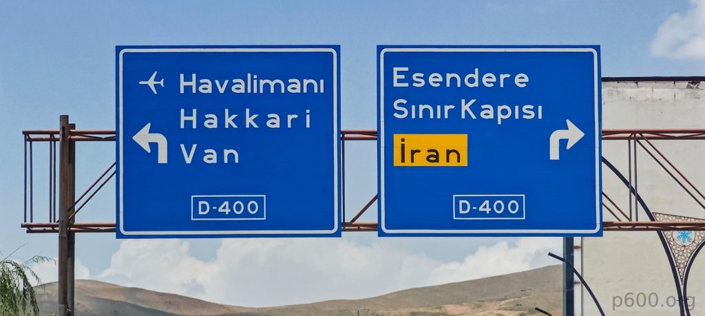
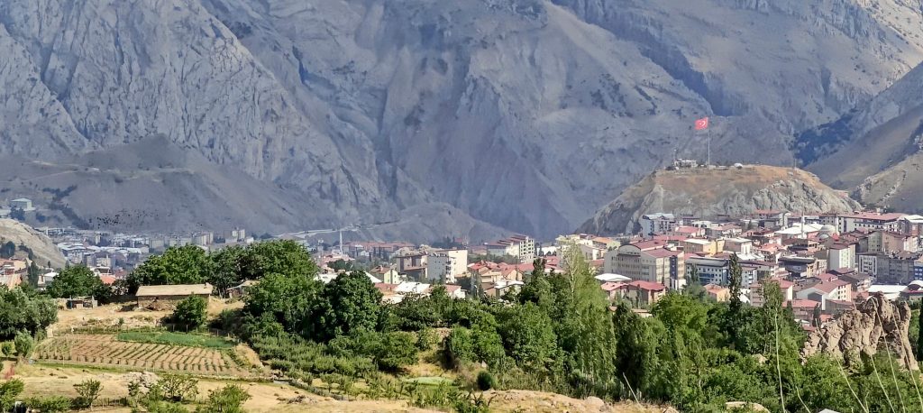
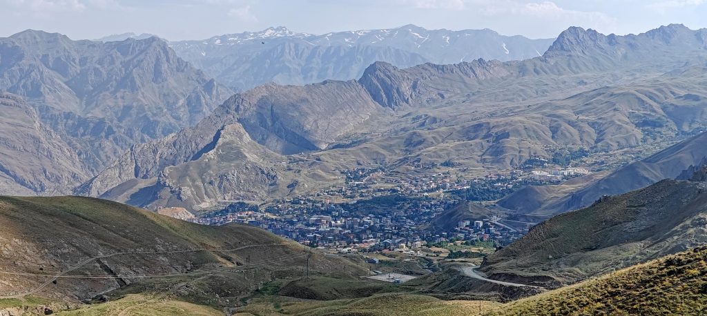
Two hours after takeoff from Istanbul, we touch down in Hakkâri-Yüksekova (YKO). A blast furnace greets us as we disembark; the desert heat radiating from the open aircraft doors. Despite the infernal conditions, the distant mountain range looks promising. Airport formalities are a breeze, and our guide for the trip, Recep, is waiting. Curiously, while the airport bears the name Hakkâri-Yüksekova, it’s actually closer to Yüksekova. Hakkâri itself is a couple of hours’ drive away. A classic case of geographic nomenclature gone awry.
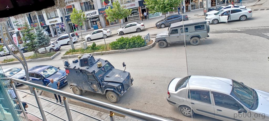
Police and military checkpoints guard the roads, but our “tourists” sticker gets us through swiftly. Turkish efficiency in action! Lunch at a Hakkâri restaurant was a culinary triumph. Fresh salads and perfectly cooked shish kebab, topped off with a soothing cup of tea – a taste of paradise.
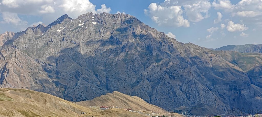
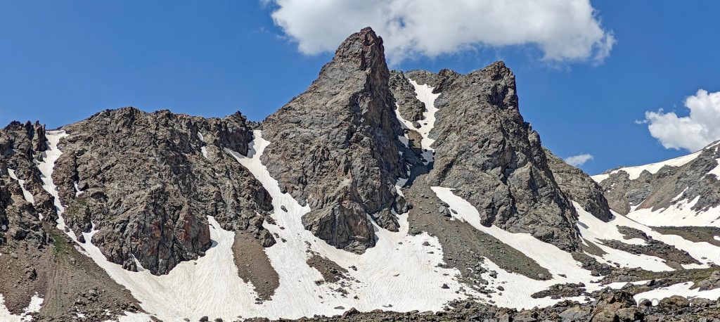
This nice Ribu peak wasn’t in our original plan, but our Uludoruk permit was called off at the last minute because of snow on the top. I suspect the real reason is that we’re foreigners, since locals were still allowed to climb. Anyway, with Recep’s help, we came up with a new plan to climb Kara Dağ, which isn’t reported on Peakbagger yet. It’s not a super challenging climb, but it’s a great way to start. Our itinerary looks as follows:
- Day 1: Drive from Yüksekova to Hakkâri and then to the camp at 2 877 meters.
- Day 2: Summit at 3 752 meters, descend, and drive back to the Yüksekova hotel.
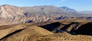
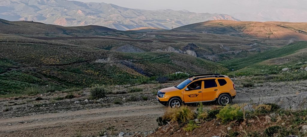
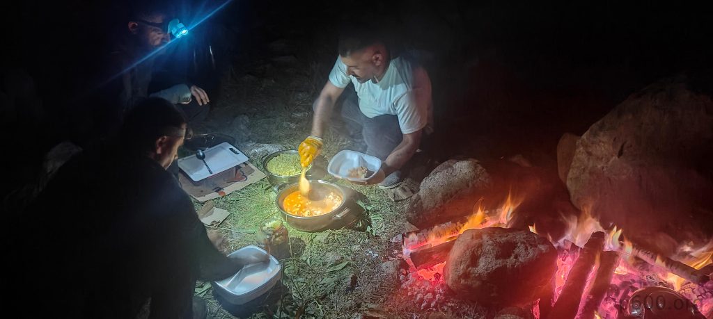
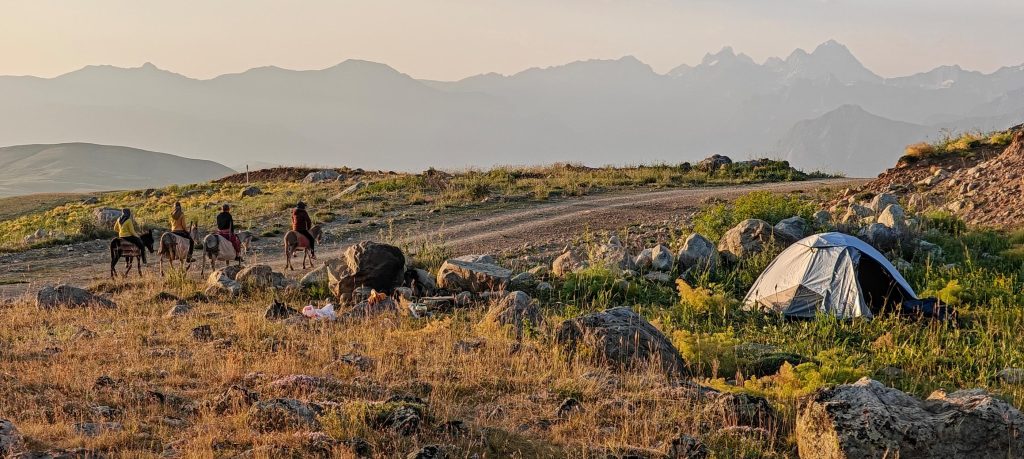
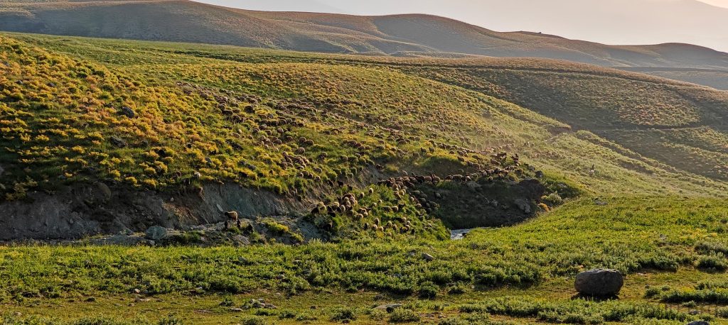
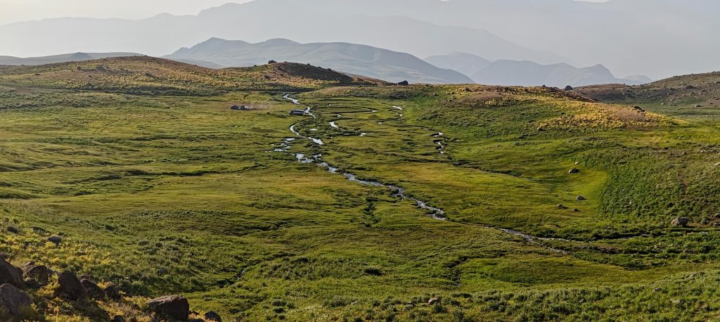
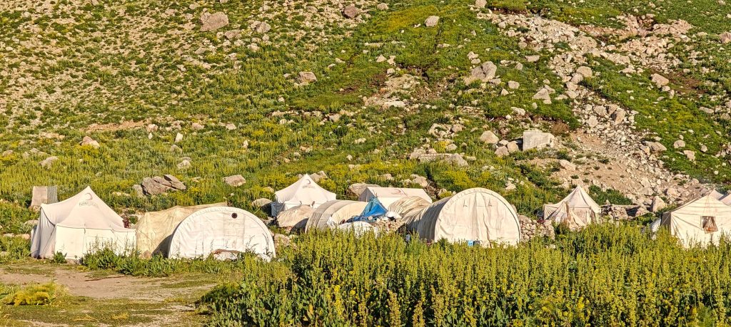
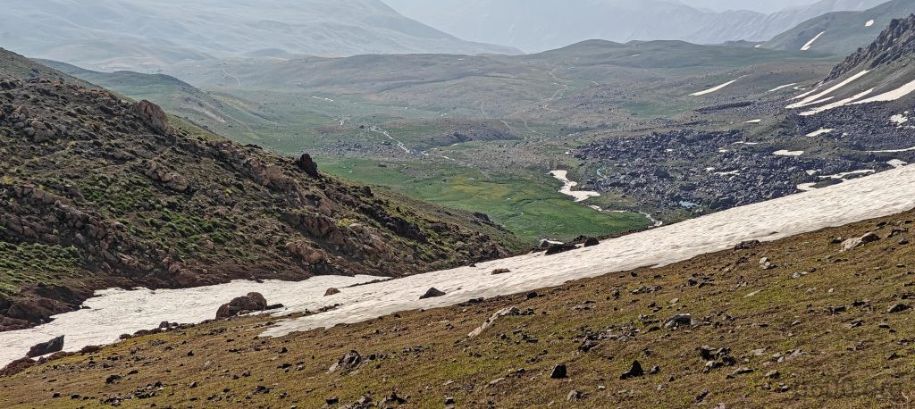
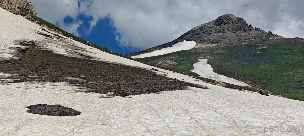
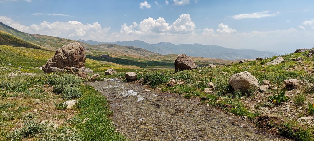
Our driver wanted to camp early due to the minibus struggling on a steep, albeit decent, road. One particularly tough stretch forced us to walk while the vehicle cooled down. Eventually, we convinced him to push on a few more kilometers to a spot closer to the summit. The campsite was surprisingly good, with a nearby stream. Bonus: decent internet on a nearby hill let me squeeze in some work. Recep and his team cooked up a fantastic dinner to cap off the day.
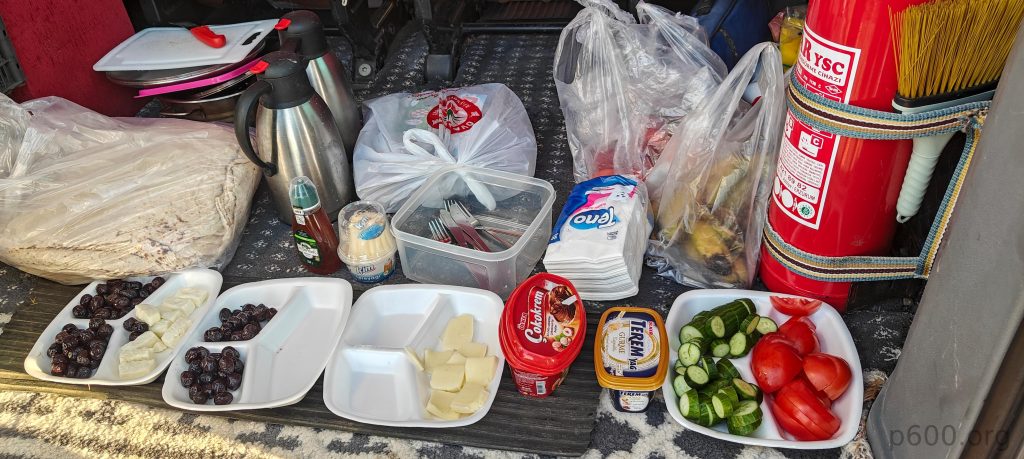
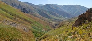
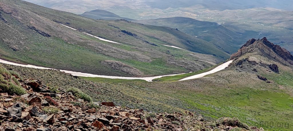
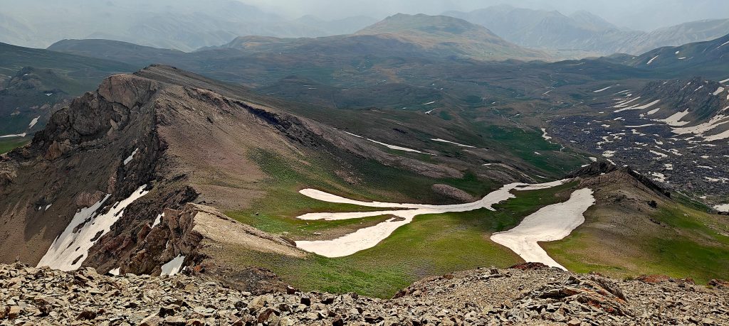
We were up before sunrise, tents packed, and stomachs filled with a quick breakfast. The trail began on a rough road, so we cut corners to reach the higher vehicle track. Just as planned, the road ended at the valley’s edge, aligning perfectly with our route.
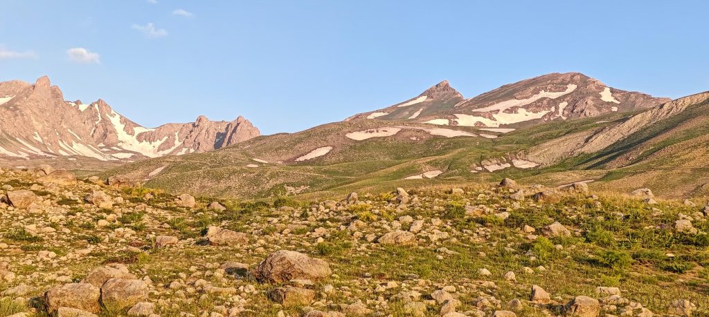
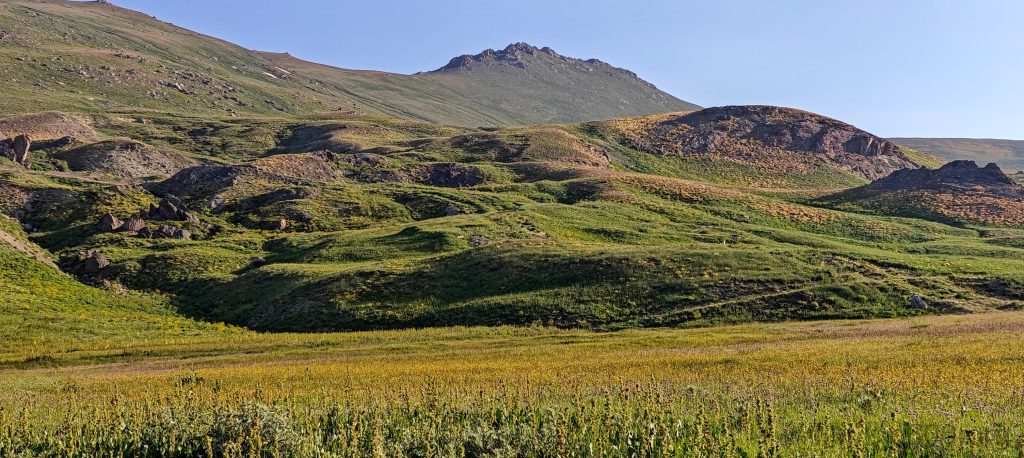
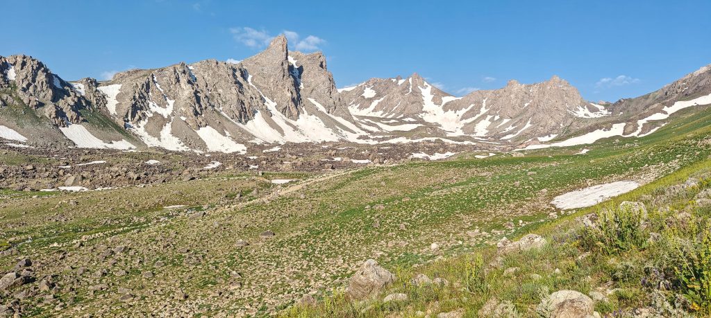
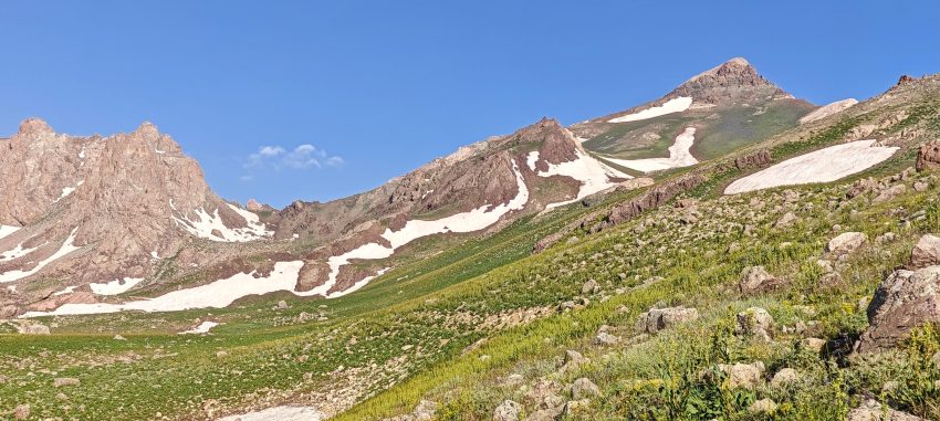
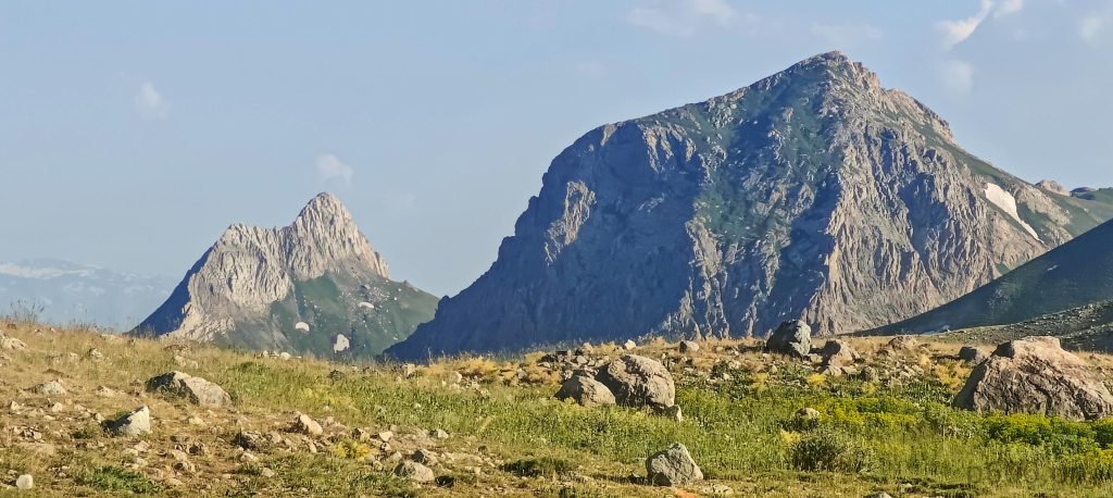
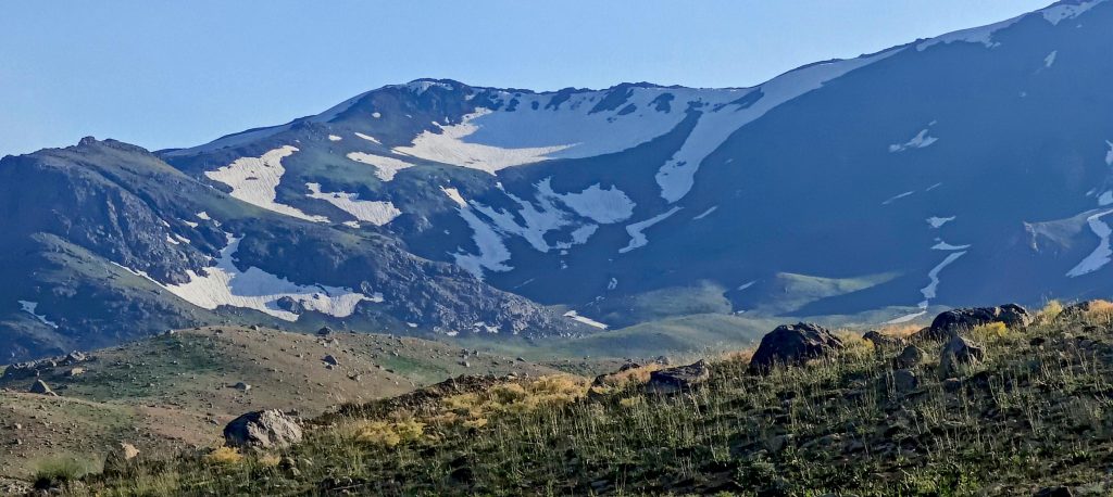
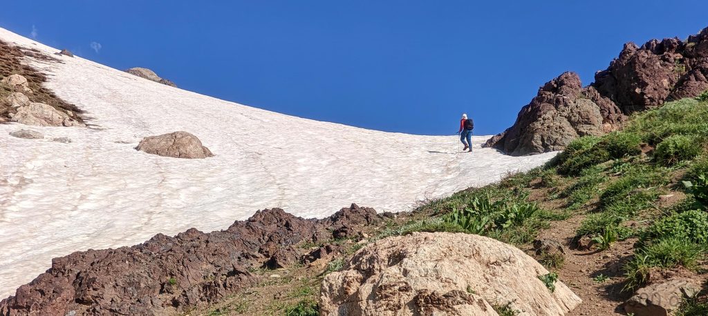
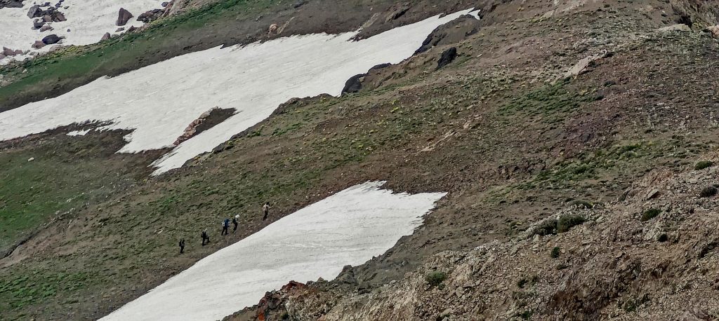
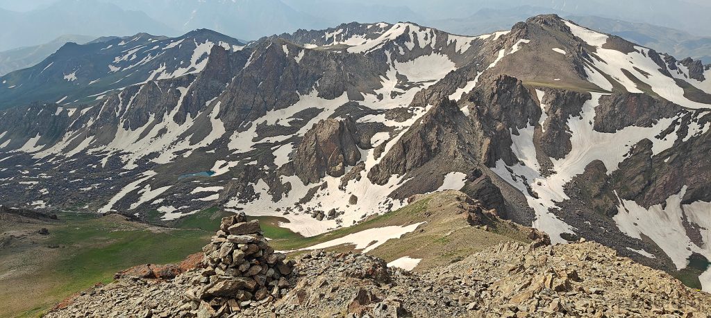
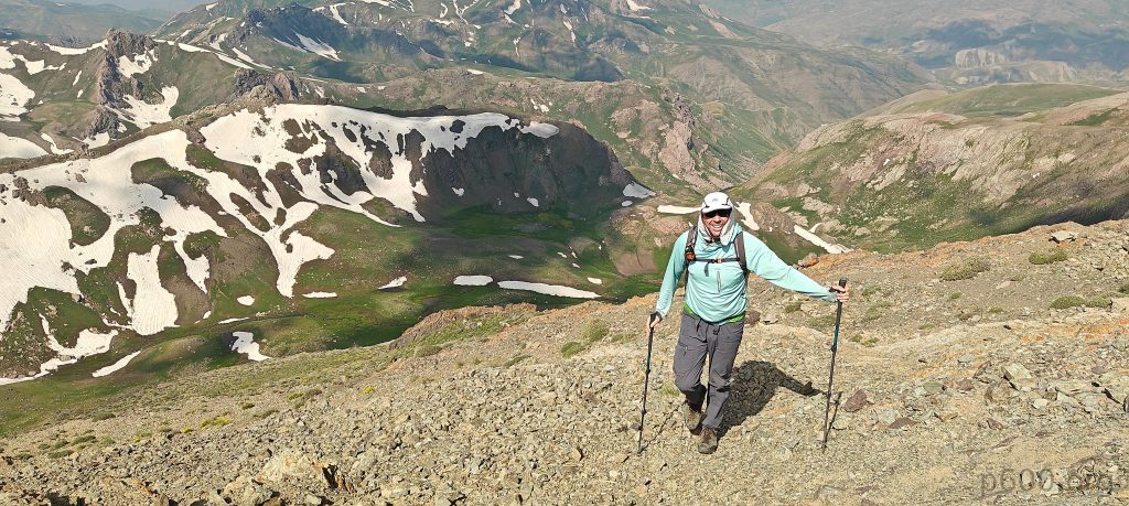
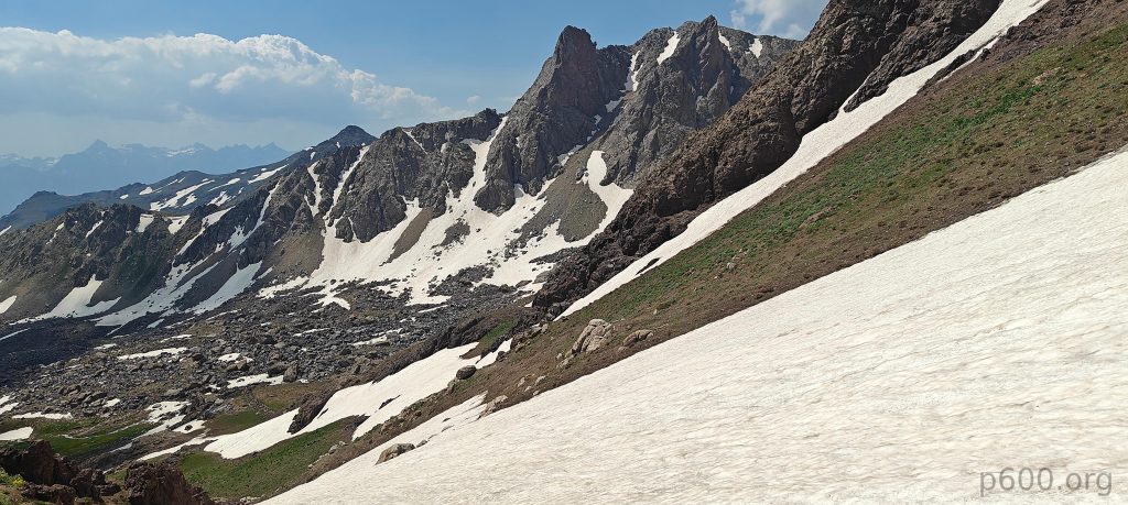
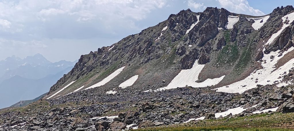
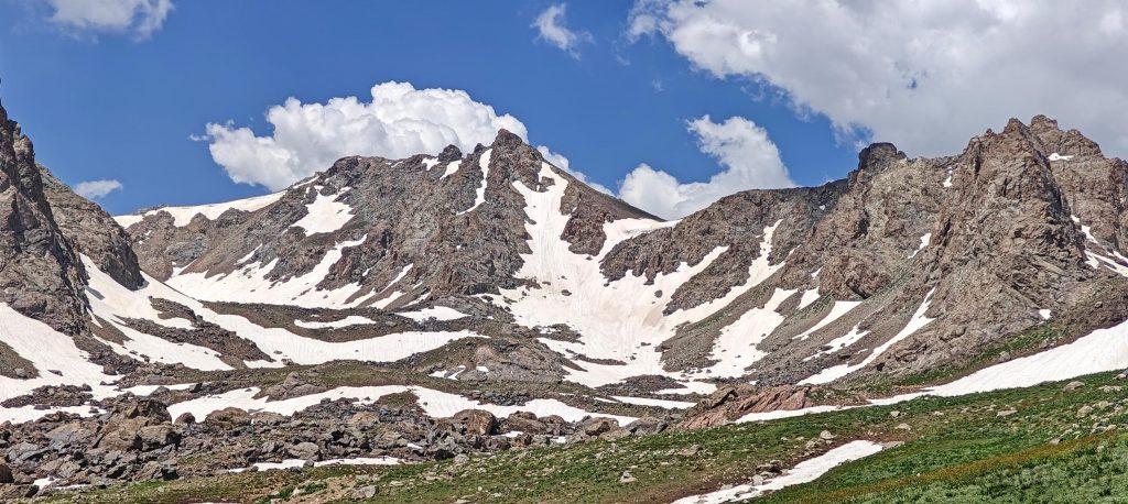
At the valley’s end, we turned right and climbed the slopes towards the summit. A faint trail soon appeared, guiding our ascent. We bypassed a few snow patches without needing crampons, as the snow was soft. Reaching a ridge, we continued up snow-free slopes. After circumnavigating one final small snow field, we stood on the summit just minutes later.
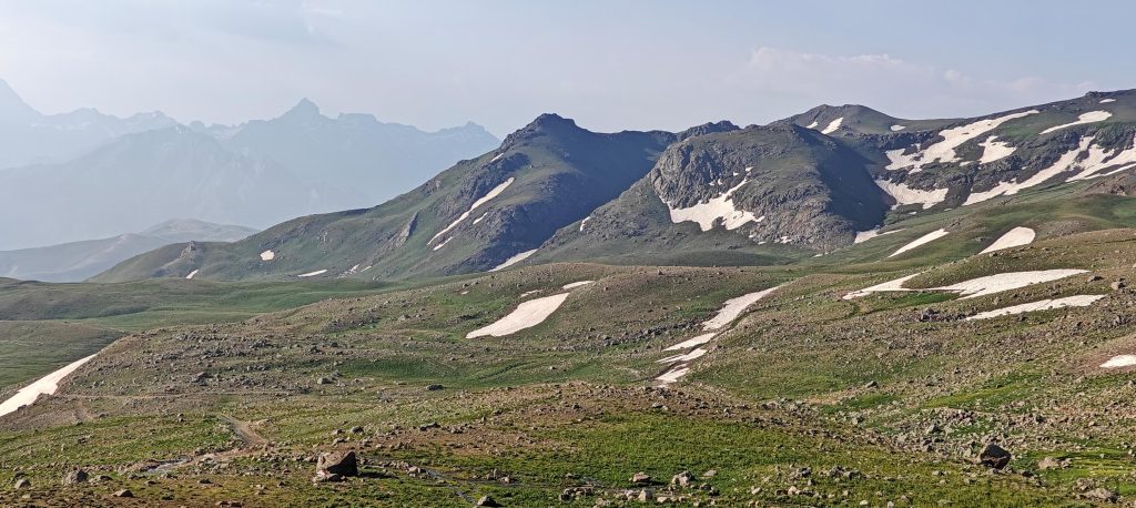

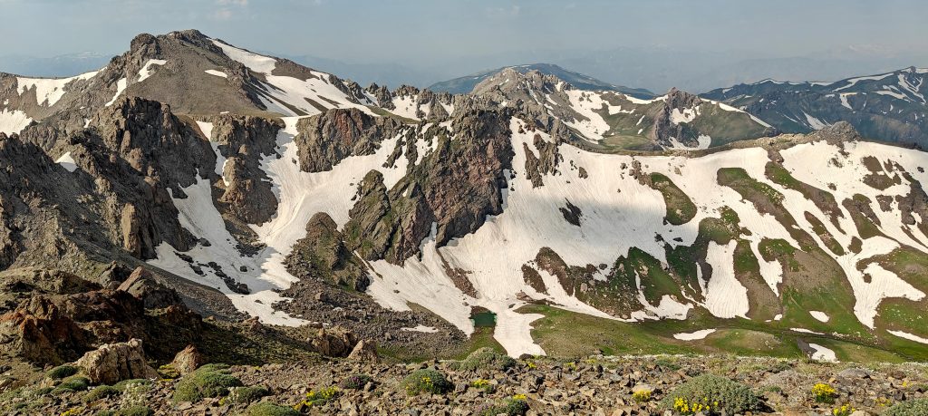
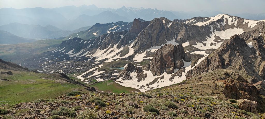
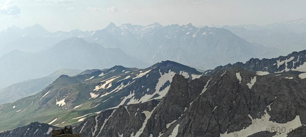
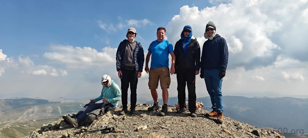
A cairn marked the summit. Adam and I waited for the others, enjoying a relaxed moment together and snapping a group photo. Steven and Adam expressed interest in climbing Kara Dağ South Peak, a 3635m P155 peak about 1.5 kilometers south. The ridge looked challenging, but why not? To our surprise, they reached the car just minutes after Dave, Rob, and me.
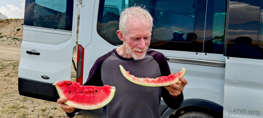
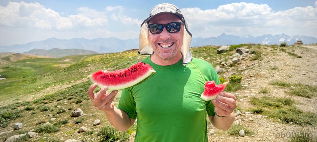
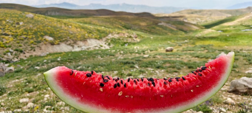
A great trip start, indeed. The hike was memorable and surprisingly easy, despite the rocky peaks and unexpected snow. After a refreshing watermelon break, we returned to Yüksekova and our hotel, ready to tackle Mor Dağı tomorrow – another uncharted ultra prominent peak for Peakbagger.
Steven’s account of our hike can be found here