Skip to content
Menu
p600.org
  • home
  • map
  • trips
  • about
p600.org

Mor Dağı

hike | 2024-07-11

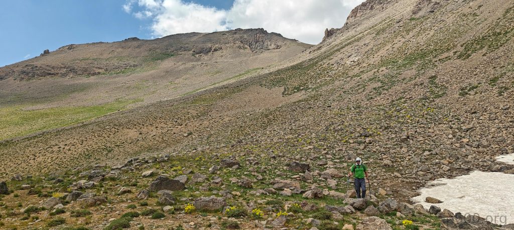
A previously unreported ultra-prominent peak in Turkey? That’s a gem we definitely want to bag. Recep confirms we can climb it without permits—though some local knowledge wouldn’t hurt. After our drive two days ago, we felt a bit stressed about reaching our preferred starting point, but Erdem assured us over the phone that we could drive as far as needed. He was absolutely right; we parked the car at the end of the road, just before the stream. Sure, the road continues, but it goes in the wrong direction for us. So, we hit the proper trailhead. Good start—half the work is done.

Lower south peak – Dola Koxe 3,696m P156.
The lower part is filled with a lot of poppy flowers.
Erdam, our local guide demonstrated how to eat stem of this plant, and it tastes like celery. Quite good.

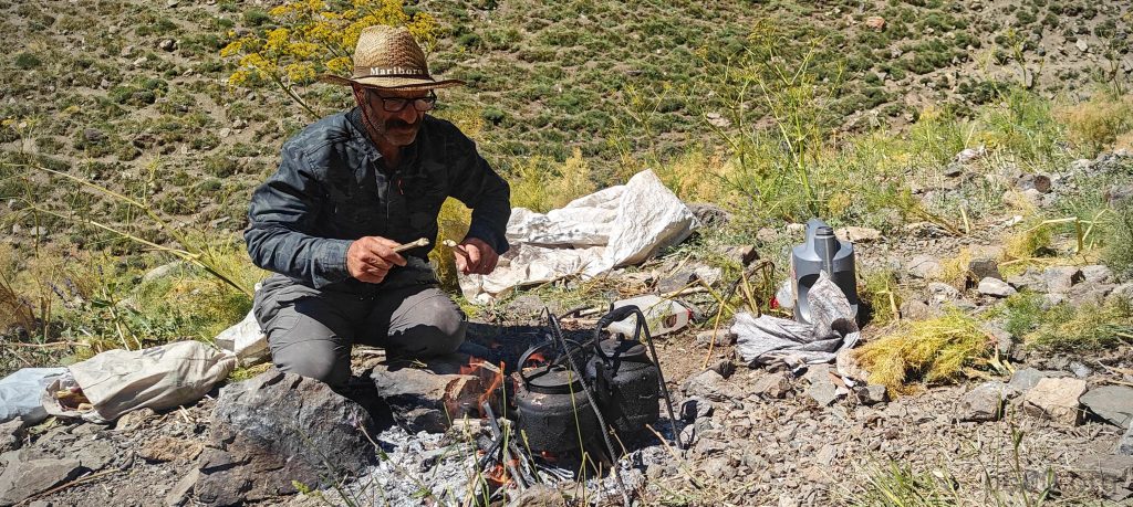
Recep prepares a quick breakfast for us: plenty of cheeses, vegetables, tea, coffee, and some cookies. Excellent, we start walking. In the first 60 seconds of the walk, we encounter a serious obstacle—a wide stream, wide and deep enough to soak our shoes. Of course, it’s not dangerous, but it would be a shame to get our shoes wet in the first few minutes and have to squish around all day. Each of us finds our own path, and some of us mitigate the risk by crossing the stream barefoot.

Half of the hike takes place in the valley along the stream.
We will descend this parallel ridge slightly to the north.
The small pyramid is the summit, as seen at first glimpse.
Possibly not operational anymore (however driving is restricted) gold and chromium mines, which locals call ‘chroma’ – probably short for chromium.

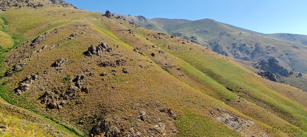
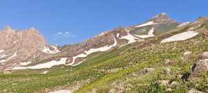
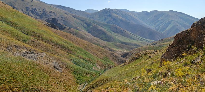
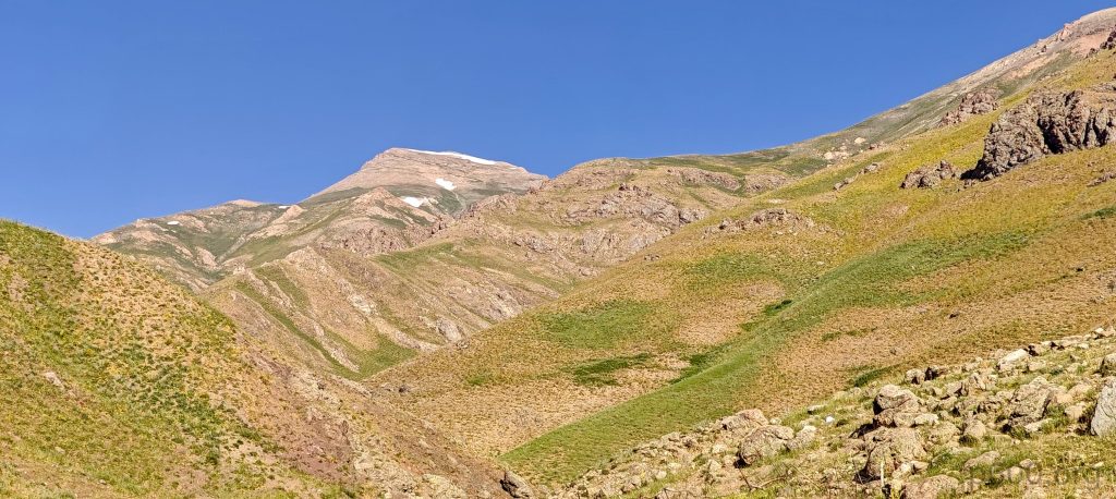
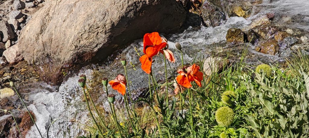
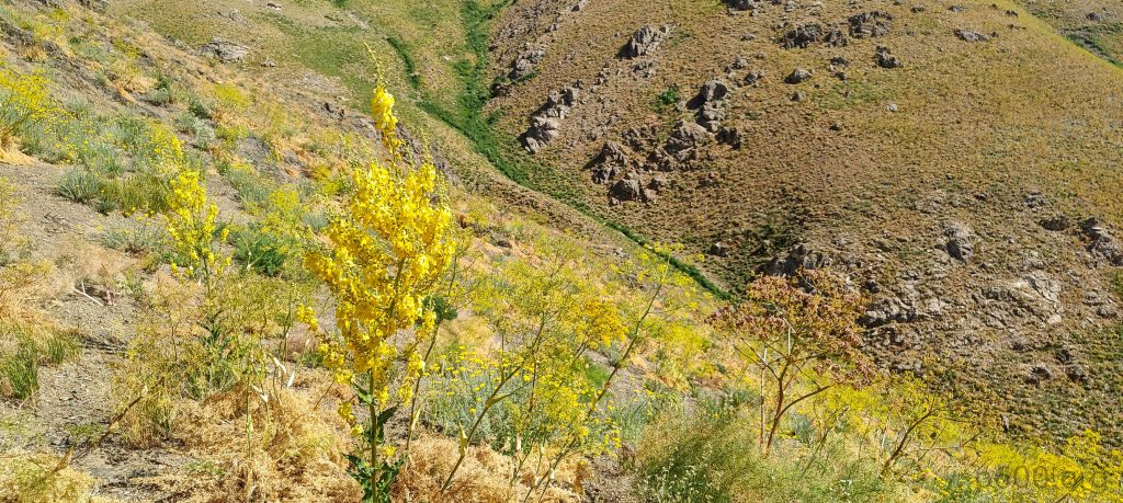
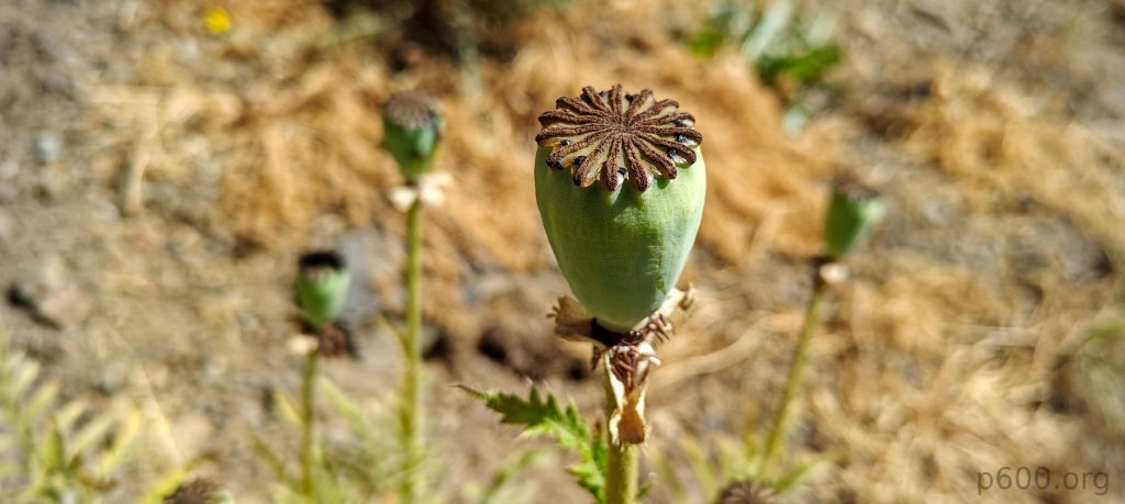
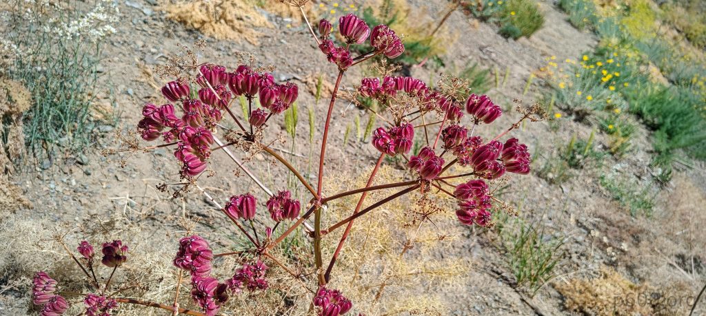
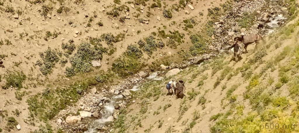
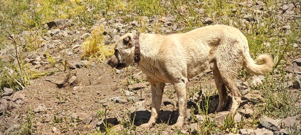
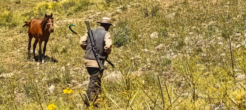
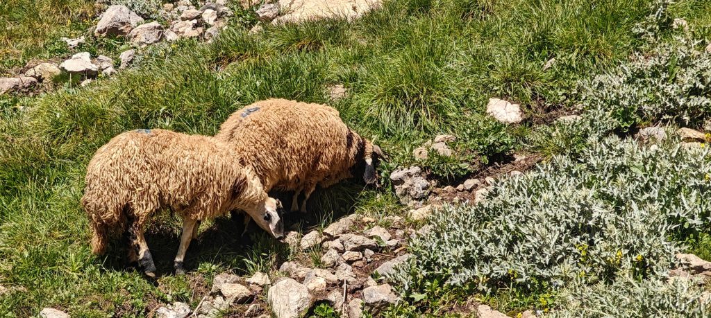
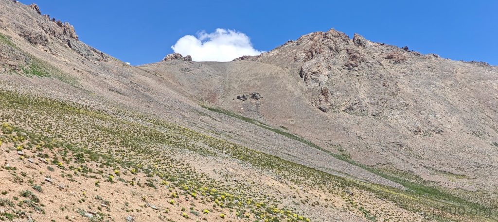
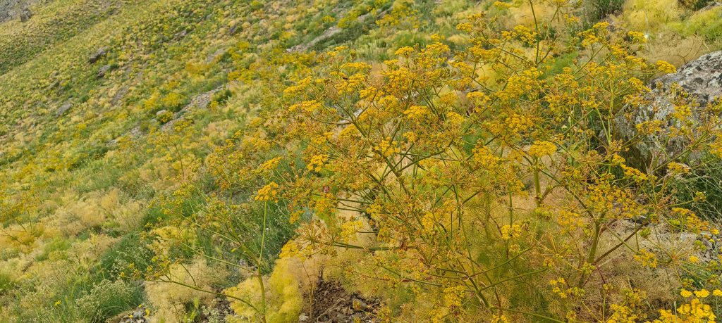
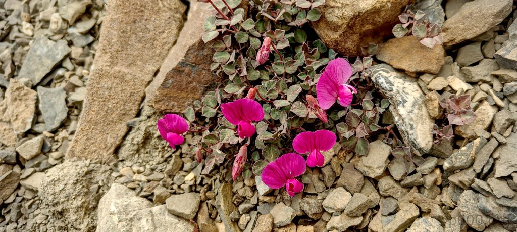
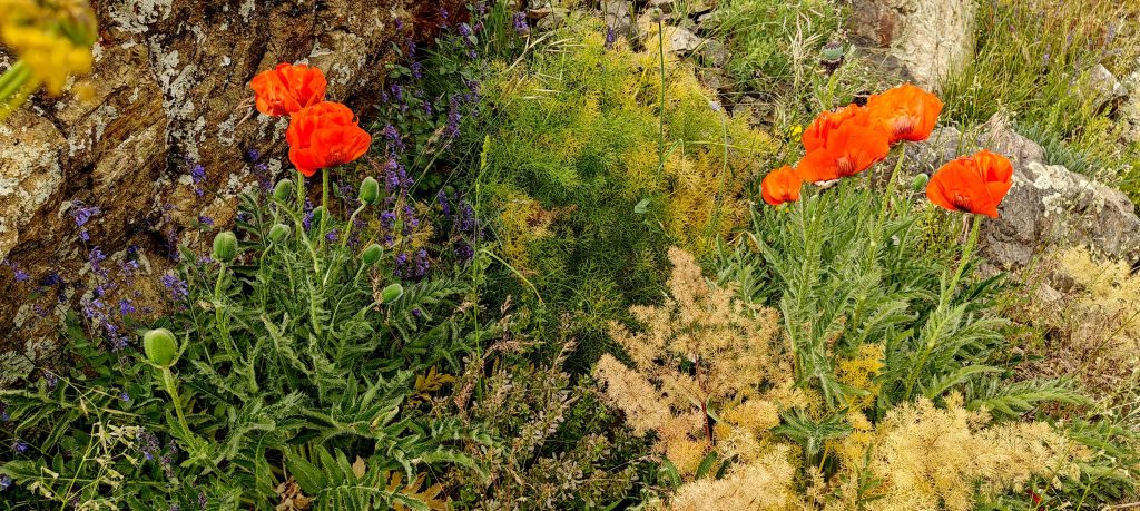
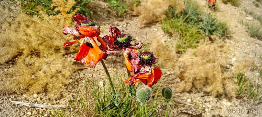
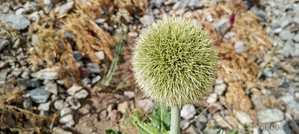
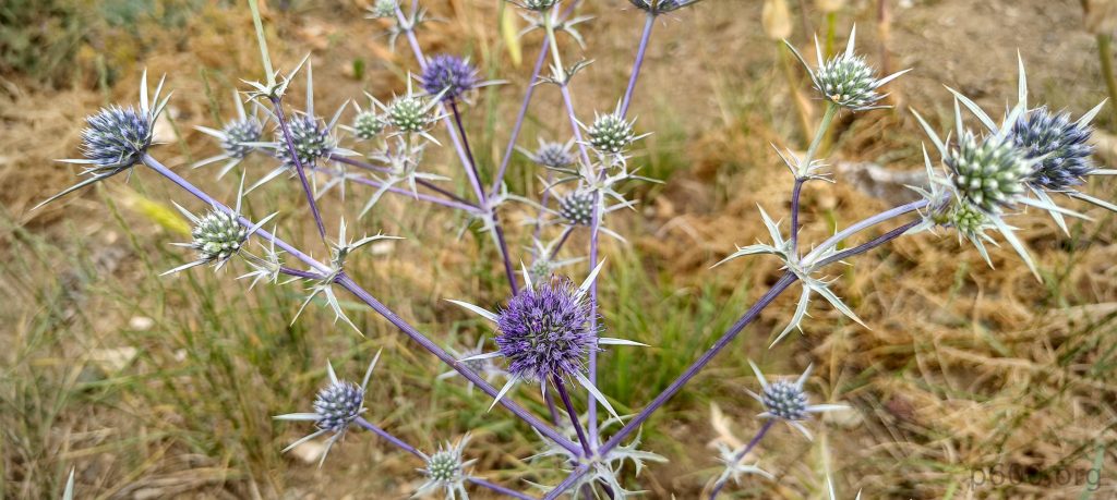
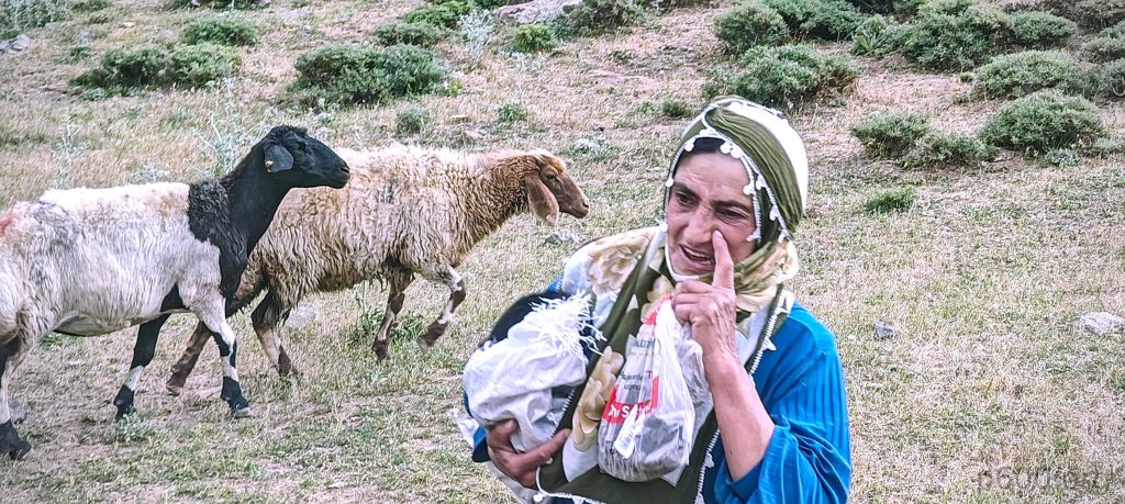
We follow the local guide along the stream, soon turning onto a steeper slope and picking up the trail again. The hike is comfortable and scenic, with vibrant landscapes surrounding us. At the midpoint, Erdem invites us for a cup of tea at the shepherd’s camp—a very hospitable and much-needed break halfway to the summit. He explains that he owns all the sheep herds around here, each consisting of nearly a thousand sheep. One or two shepherds and a few dogs guard each herd. What an impressive system!

Ferula communis, the giant fennel, is a species of flowering plant in the carrot family Apiaceae.
Poppy.
Rob and the rock.
Local shepherds.
Erdem is brewing tea at the shepherd’s camp
The Aksaray Malaklısı, also called the Turkish Mastiff or Anatolian Lion, is a large livestock guardian dog from Turkey’s Aksaray Province, renowned for its imposing size and protective instincts.
We were told that a gun is a necessary tool for protection against bears and wolves.
I start counting sheep, 1, 2… then Erdem mentions there are actually a few thousand.
Mor Dağı looms closer.
The hike features gradual slopes
Looking back at the valley.

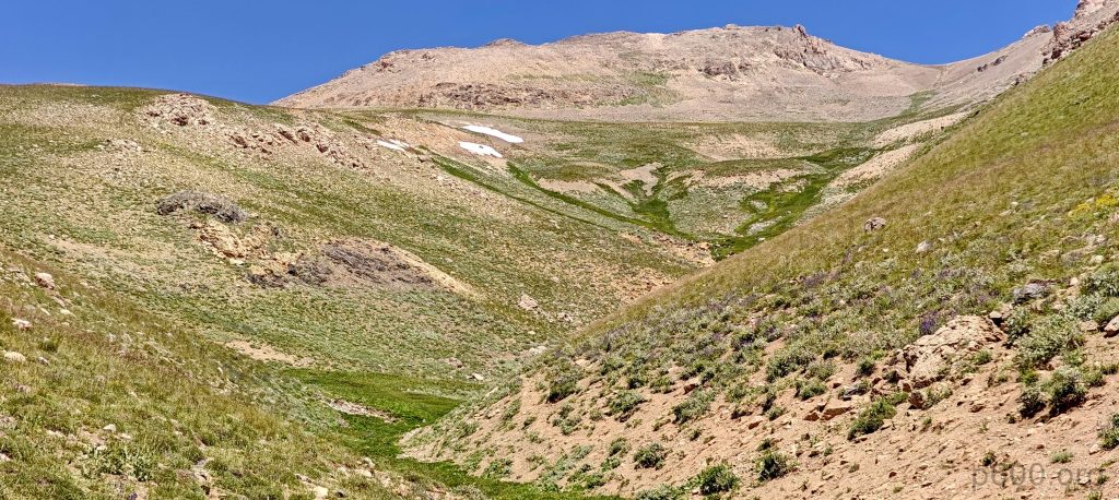
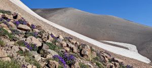
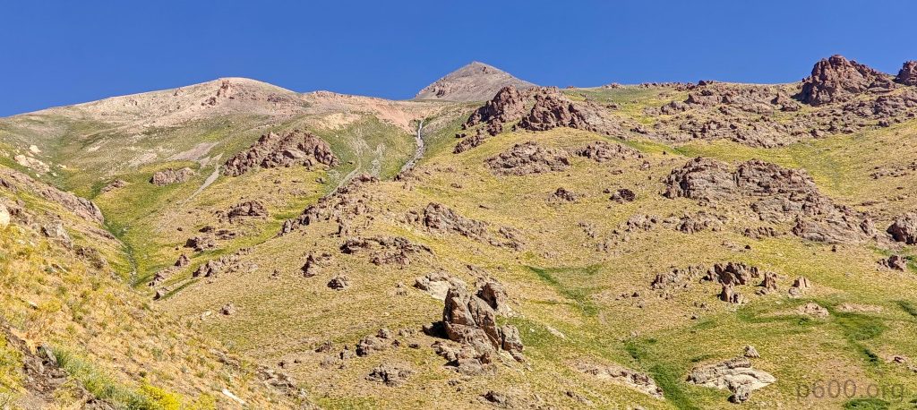
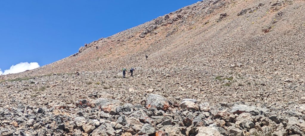
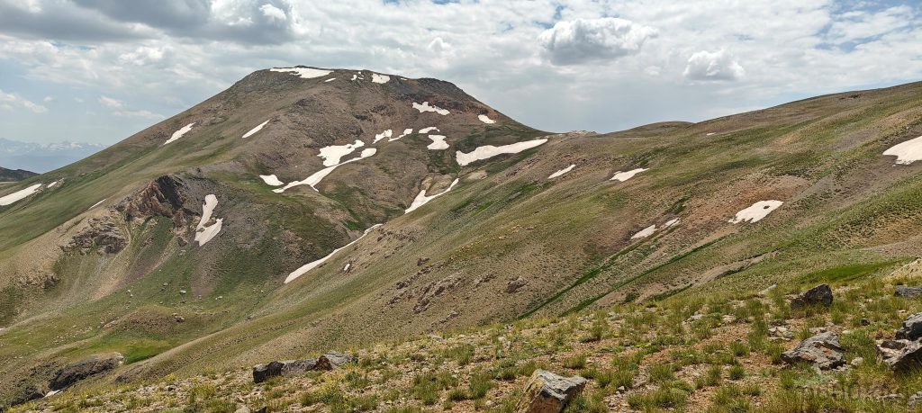
After our tea break, we continue climbing the gradual slopes and reach the summit bump base. Here, we face two choices: go left or right. To the left, the climb is steep, with tall scree that’s manageable and obviously shorter. Later, we’ll descend on the other side, which is a bit longer but less steep and likely has fewer loose rocks. Though, let’s be honest, the difference isn’t dramatic.

The east saddle provides easier access than the west.
We chose the steep and loose west slope, which isn’t bad but definitely requires a bit more effort.
Most of the route we took is visible from here.
The ridge on the other side of the summit.

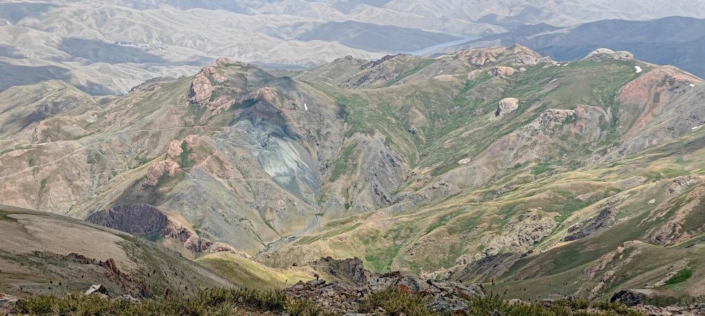
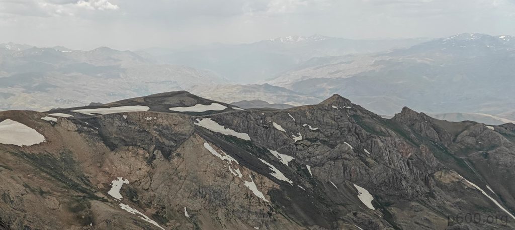
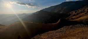
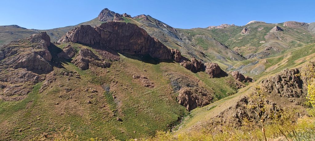
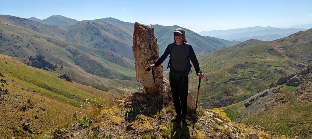
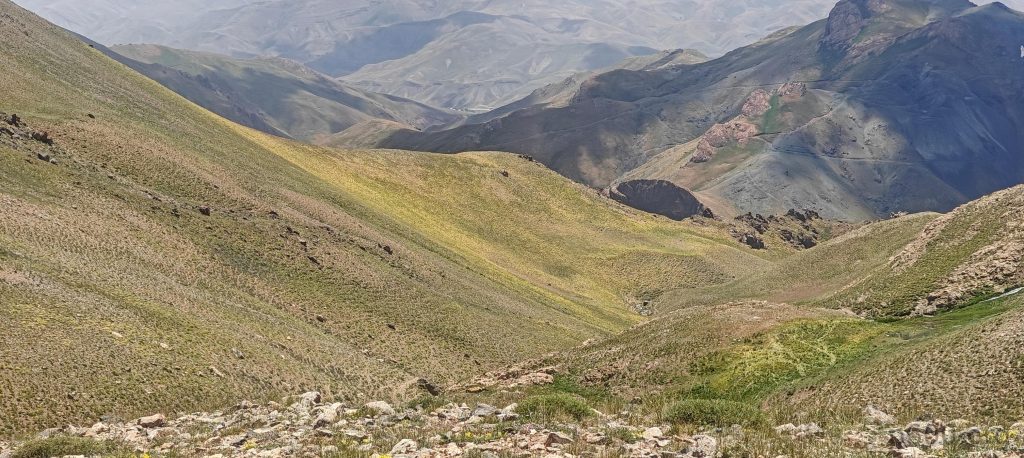
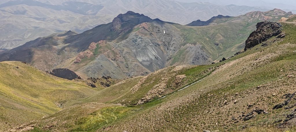
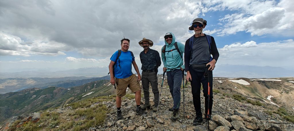
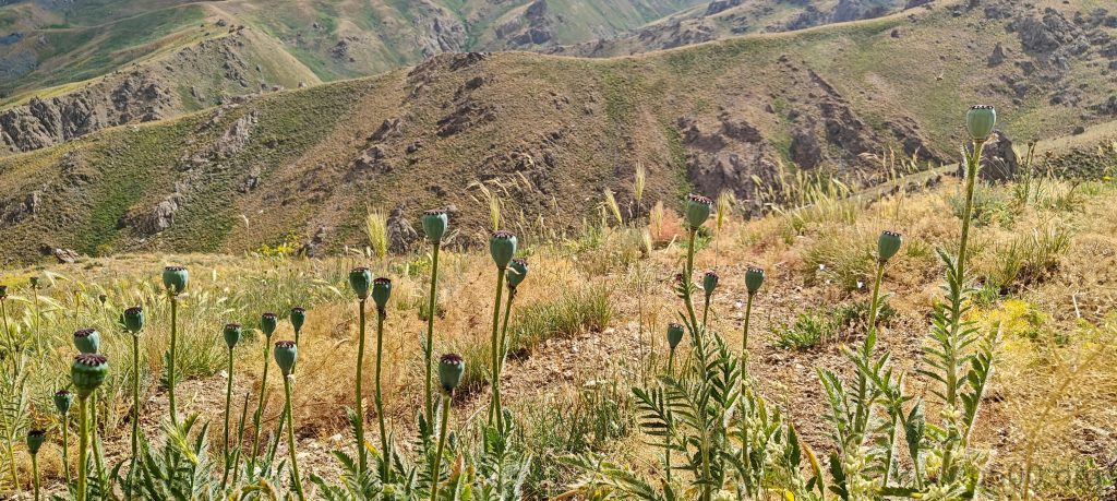
The summit isn’t marked, but a few stone windshields dot the top. The views are fantastic, even with rain clouds lurking in the distance. Iranian border structures are visible on the nearby peaks, adding a bit of mystique to the hike. Erdem proudly points out that we are the first foreigners to reach this summit, which is quite the novelty. Meanwhile, Steven and Adam have ventured off to Dola Koxe for a bigger loop, planning to return from the other side. The rest of the team spends a leisurely ten or twenty minutes soaking in the peak’s atmosphere before we start descending the east side.

The summit is marked by a strange skeleton part.
Summit photo: From left to right, it’s me, Erdem, Dave, and Rob.
On the way down, we chose the east trail, which turned out to be in quite good shape.
Dave descends with the summit in the background.
Several more glimpses at the lower south peak, Dola Koxe.

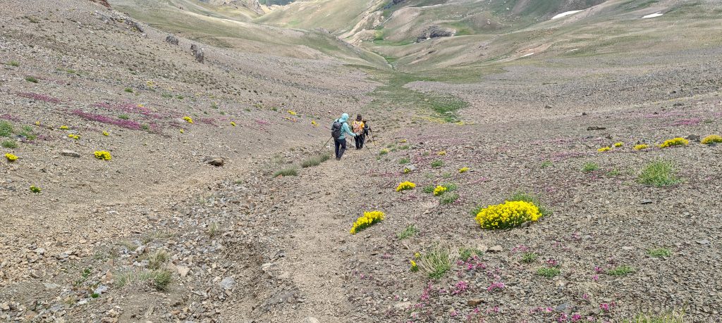
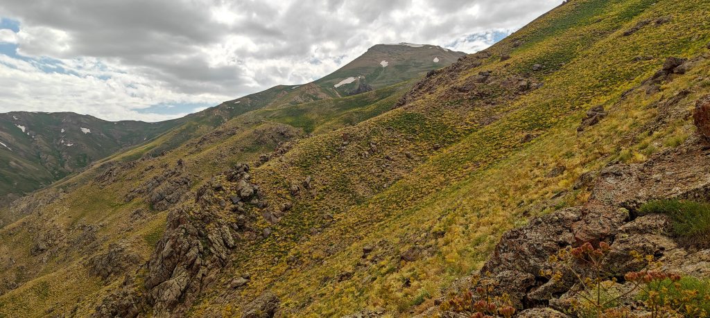
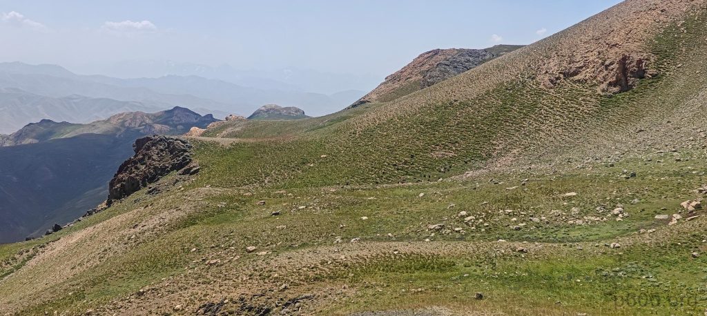
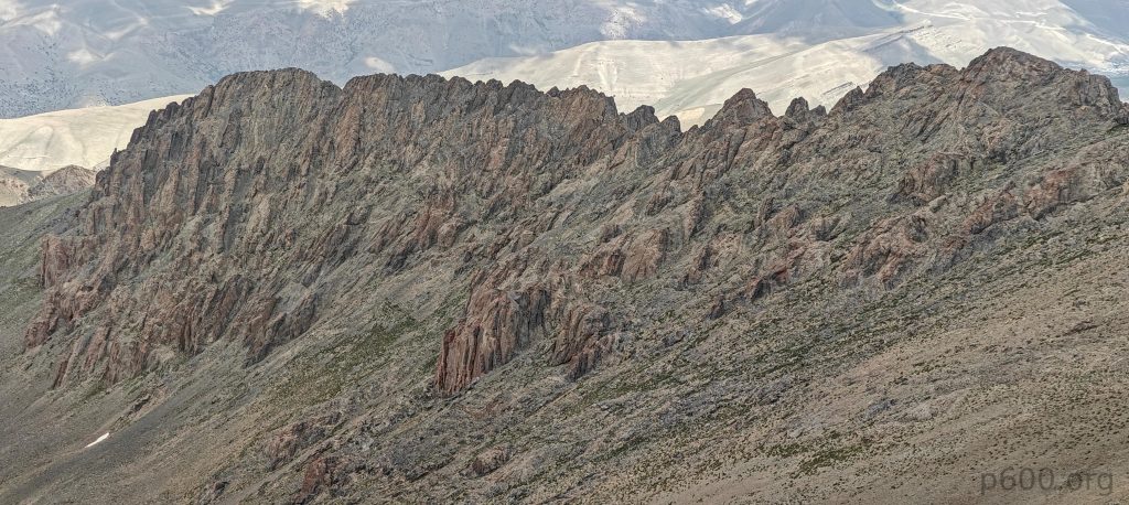
We then opt for a parallel ridge as a shortcut back to the car. The shortcut is mostly decent, except for a treacherous hundred-meter vertical section that’s best avoided unless you enjoy slipping and sliding. We might have shaved off some distance, but I’m skeptical we saved any time. Still, discovering new routes is always welcome.

Erdem is enthusiastic about the flowers’ scents, savoring every whiff like it’s nature’s own perfume shop.
A refreshing cucumber break.
Giant fennel (Ferula communis) with edible stems stands tall and yellow, looking like it’s already celebrating autumn.
Lathyrus formosus, a flowering plant in the legume family Fabaceae, grows in rocky high mountain regions across Turkey, Iran, Iraq, Lebanon, and the Caucasus.
Colors abound everywhere, creating a vibrant, kaleidoscope-like scene that dazzles the eyes.
Poppy world
Echinops, a genus of around 130 species in the Asteraceae family, is commonly known as globe thistles for its striking spherical blooms.
Eryngium creticum, also known as field eryngo, is a flowering plant in the Apiaceae family, native to Greece, Israel, Jordan, Lebanon, Palestine, and Syria.
Dave, Adam, and Rob are busy enjoying watermelons and tea.
The cooled watermelon symbolizes our successful descent.
A curious local lady asked to open the car doors, eager to uncover the mysteries within.

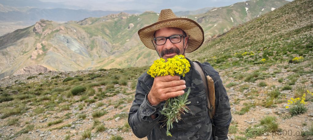
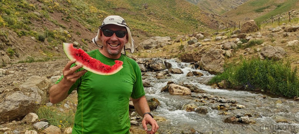
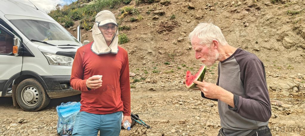
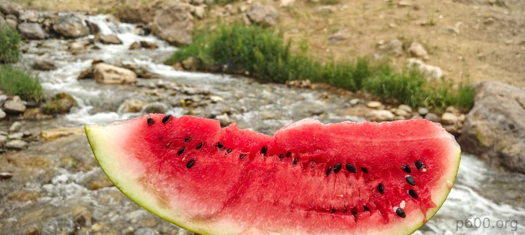
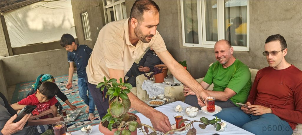
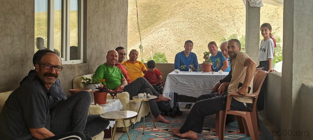
After the descent, we enjoy some cooled watermelon and, obviously, tea. It’s refreshing. On the way home, Erdem invites us for another cup of tea. That’s really nice; we’re welcomed by the whole family and offered sweets and infinite tea. Infinite, because once I finish a cup, it’s instantly refilled again—I feel like it will never stop! The only way to stop is to leave it half full. It was a very successful day, and Erdem is a great guy who made it a memorable hike. We drive back to the hotel in Yüksekova, preparing for a long journey toward Suphan Dağı tomorrow.

We are served with endless perfect tea accompanied by cookies and sweets.
From left to right: Erdam, our driver behind him, Dave, Adam, Recep, Erdam’s family, Steven, me, Rob, and Erdam’s family again, all enjoying a warm and welcoming invitation for tea. Thanks!

Steven’s account of our hike can be found here.


Mor Dağı3800 m altitude
1805 m prominence
38.95 km isolation
RangesAnatolia - Southeast Anatolia
Countries/regionsTurkey - Hakkâri
Distance5.50 km up5.40 km down
Elevation1317 m gain1317 m loss
Time
4h20 up
0h15 other
3h30 down
8h05 total
Trailhead2482 m altitude37.7328520, 44.3552710
RouteWe begin by following a gradual trail along the stream, then climb a steeper slope to the left ridge. The ridge walk is pleasant, with some steeper sections. After a tea break, we continue along the stream, climbing grassy slopes to reach the talus fields. Here, we take a shortcut via a steep talus slope to the climbers' left, although the path on the right side appears easier. The summit isn't marked but has a nearby stony wind shelter. After a 20-minute break, we descend to a col on the east. A local guide suggests a shortcut, which involves descending a steep gully with unstable scree.
DifficultiesCrossing the stream at the trailhead isn’t difficult, but there’s a high risk of ending up with wet feet for the whole day. There’s a loose gully on the way down, but one can avoid it by taking the original path or walking around it.
LinksGPX trail
  • Anatolia 2024
  • « Kara Dağ
  • Suphan Dağı »

Mountain Ranges

Anatolia
Central Anatolia
Pontic Mountains
Southeast Anatolia
Taurus Mountains
Western Anatolia
Andes
Puna de Atacama
Atlas Mountains
High Atlas
Northwestern Atlas
Central America Ranges
Costa Rica-Panama Ranges
Central Central America
East China
Taiwan
Eastern Europe Ranges
Southeast Baltic Plains
Iberian Peninsula
Cordillera Cantabrica
Castile Ranges
Portugal-Galicia
Pyrenees
Intermountain West
Great Basin Ranges
Korea-Amur Area
Taebaek Sanmae
Malay Archipelago
Java
Nusa Tengarra
Sulawesi
Sumatra
Mid-Atlantic Islands
North Atlantic Islands
Mongolia Ranges
Altai
Gobi Desert Ranges
Hangay Mountains
Northwest Europe
Great Britain
North France-West Rhine Area
Pacific Ranges
Cascade Range
Northwest U.S. Coast Ranges
Sierra Nevada
Central and Southern California Ranges
Philippines
Central Philippines
Luzon
Mindanao
Southeast Asia
Malay Peninsula
Southeast South America
Pampas
Sierras de Cordoba
Southern Africa
Malawi Highlands
West Africa Mountains
Bight of Benin
Cameroon Mountains
Guinea Highlands

Countries / regions

Algeria
Ain Guezzam
Ain Salah
Aïn Témouchent
El Bayadh
Ghardaïa
Oran
Ouargla
Saïda
Sidi Bel Abbès
Tamanrasset
Argentina
Catamarca
Ciudad Autónoma de Buenos Aires
Córdoba
Jujuy
Salta
Tucumán
Belgium
Brussels Capital Region
Flemish Region
Cameroon
Southwest
China
Taiwan
Costa Rica
Alajuela
Cartago
Guanacaste
Heredia
Limón
San José
Czechia
Prague
Denmark
Greenland
France
Hauts-de-France
Occitania
Germany
Berlin
Niedersachsen
Indonesia
Bali
Jambi
Jawa Tengah
Jawa Timur
Nusa Tenggara Barat
Sulawesi Tengah
Sulawesi Utara
Sumatera Barat
Lithuania
Vilnius County
Mongolia
Bayankhongor
Govi-Altai
Khovd
Omnogovi
Ovorkhangai
Ulan Bator
Zavkhan
Morocco
Béni Mellal-Khénifra
Drâa-Tafilalet
Fez-Meknes
Marrakesh-Safi
Souss-Massa
Tangier-Tetouan-Al Hoceima
Mozambique
Zambezia
Netherlands
Gelderland
Noord-Holland
Zeeland
Nicaragua
Chinandega
Managua
Masaya
Rivas
Philippines
Bicol Region (V)
Cagayan Valley (II)
Calabarzon (IV-A)
Central Luzon (III)
Cordillera Administrative Region
Davao Region
Metro Manila
Soccsksargen (XII)
Western Visayas (VI)
Poland
Greater Poland Voivodeship
Masovian Voivodeship
Portugal
Castelo Branco
Leiria
Lisbon
Madeira
Santarém
Qatar
Ad-Dawhah
São Tomé and Príncipe
São Tomé Province
Sierra Leone
Northern Province
Western Area
Singapore
South Korea
Gyeongsangnam-do
Seoul
Spain
Aragón
Asturias
Castilla-La Mancha
Castilla y León
Catalonia
Islas Canarias
Switzerland
Zürich
Turkey
Antalya
Bitlis
Erzincan
Hakkâri
Igdir
Isparta
Kahraman Maras
Muğla
United Kingdom
England
Scotland
United States
California
Delaware
Florida
Maryland
Nevada
New Jersey
New York
Pennsylvania
South Carolina
Utah

TRIPS

2024
Southern Africa 2024
Mid-Atlantic Islands 2024
North America 2024
Anatolia 2024
Korea-Amur Area 2024
East China 2024
2023
Mongolia Ranges 2023
Philippines 2023
West Africa III 2023
West Africa II 2023
Iberian Peninsula 2023
West Africa 2023
Central America 2023
2022
Andes 2022
Northwest Europe 2022
Malay Archipelago III 2022
Malay Archipelago II 2022
Anatolia Mountains 2022
Iberian Peninsula 2022
Atlas Mountains 2022
North France-West Rhine Area 2022

archaeology (3) climb (157) food (2) hike (155) p30 (17) p50 (4) p100 (24) p300 (12) p600 (17) p1000 (11) p1500 (76) ribu (10) sight (46) summary (16) trig (44) ultra (76)

1 591 km walked, 121 298 m climbed

©2025 p600.org | WordPress Theme by Superbthemes.com