Having scaled both of Taiwan’s ultra prominent peaks, we naturally shift our focus to the next priority: the P1000. After scrutinizing the map and our calendar, it’s clear that time is tight for remote peaks. However, one peak near Taipei catches our eye: Qixingshan. Popular among locals and just a short hike for us, it seems perfectly manageable to fit into our schedule before our next destination. With its intriguing geological features and breathtaking views, Qixingshan presents a compelling opportunity to explore the Tatun Volcanic Group and experience Taipei’s highest point, all within the scenic confines of Yangmingshan National Park.
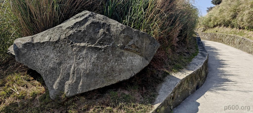
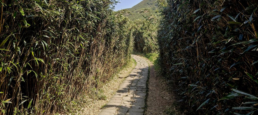
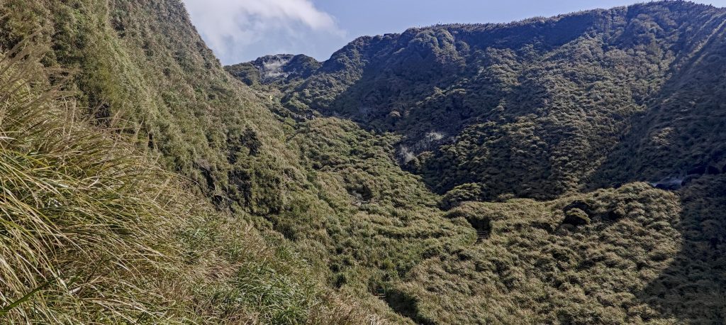
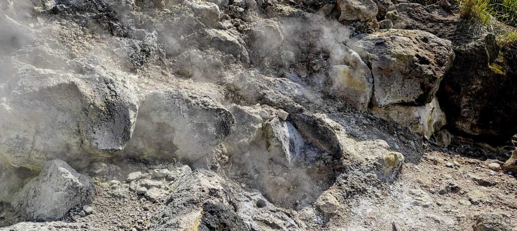
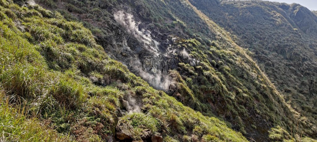
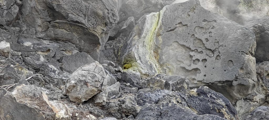
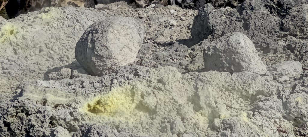
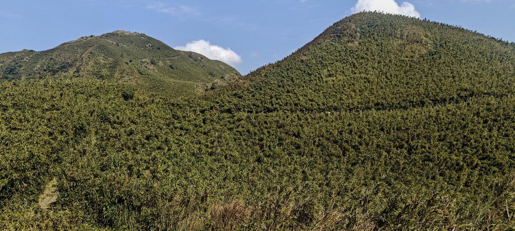
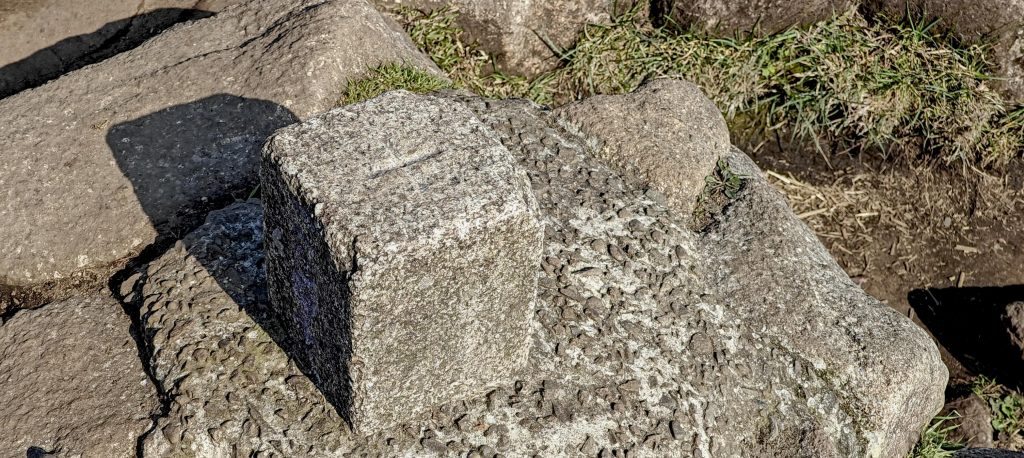
The air, thick with sulphur and swirling vapor, subtly hinted that we might not be in a spa after all.The surrounding slopes, cloaked in dense bamboo, probably didn’t get the memo about varying the landscape.Before Richard and Denise revealed we were ogling a typical volcano bomb, I had mistaken it for your garden-variety rock—easy mistake, right?The trail, ensconced in a thick bamboo forest, at least has the decency to offer some shade.A bamboo-covered ‘carpet’ – because nature’s interior design skills are simply unparalleled.A few more smoking spots in the gully on the ascent to the summit – because what’s a hike without a bit of dramatic flair?
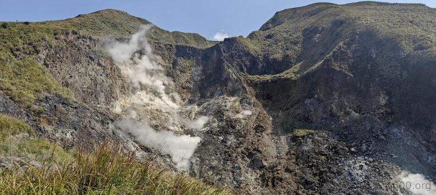
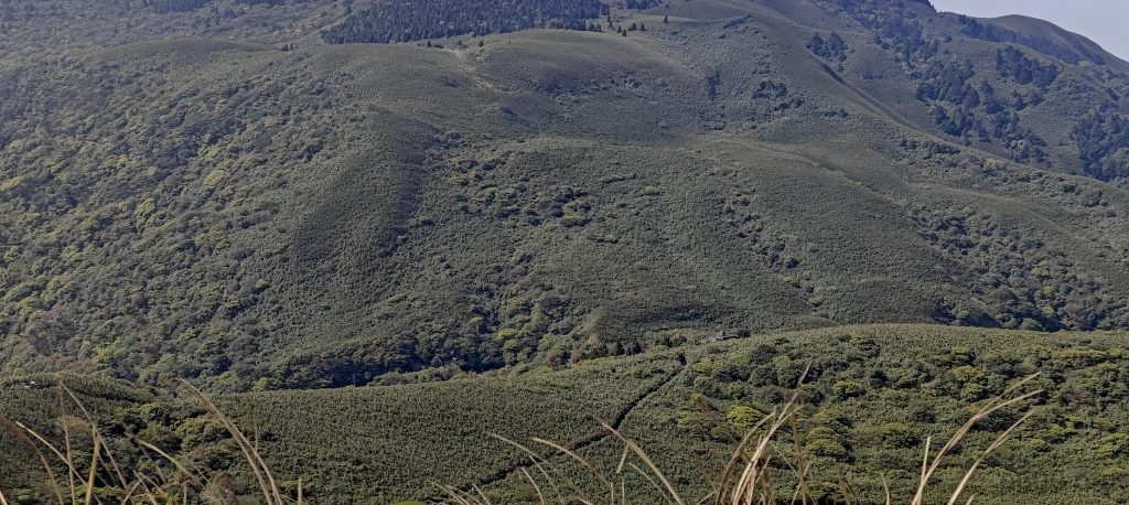
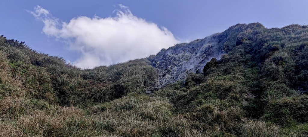
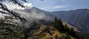
Arriving at the expansive parking lot at the trailhead, we notice many visitors here to marvel at the fumaroles of the still-active stratovolcano, and a good number are also geared up for the relatively short hike to the summit, including us. Swiftly changing attire and footwear, we set off. Prior to the ascent, we take a brief detour to the viewpoint, observing the hot steam billowing from the ground—an intriguing sight. Within moments, we find ourselves ascending stony steps through the dense bamboo forest toward the summit.
Boiling water, seriously—nature’s kettle is always on.
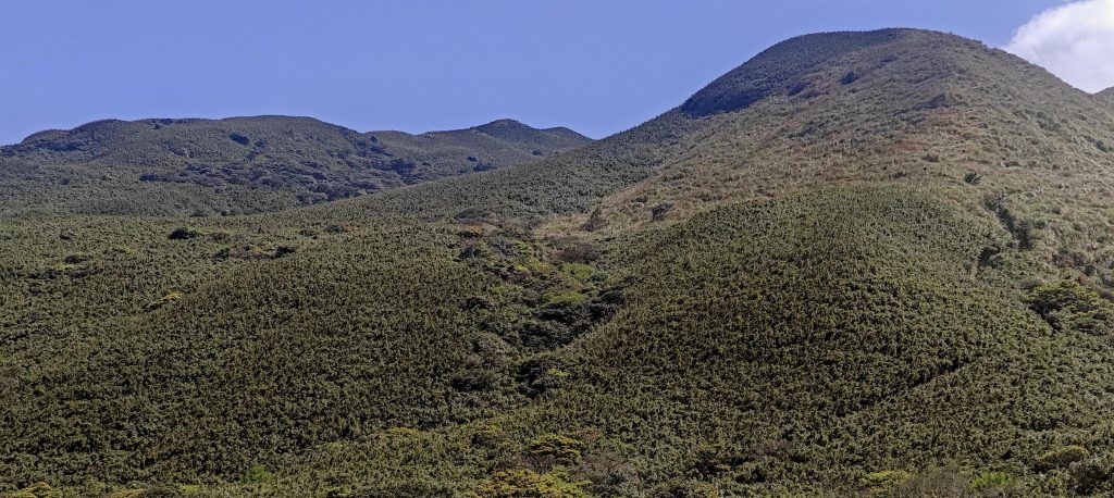
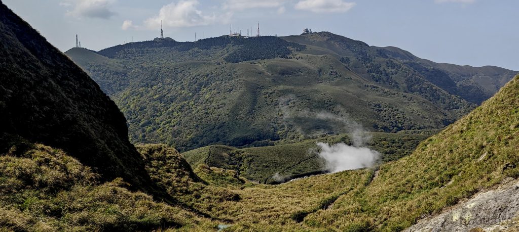
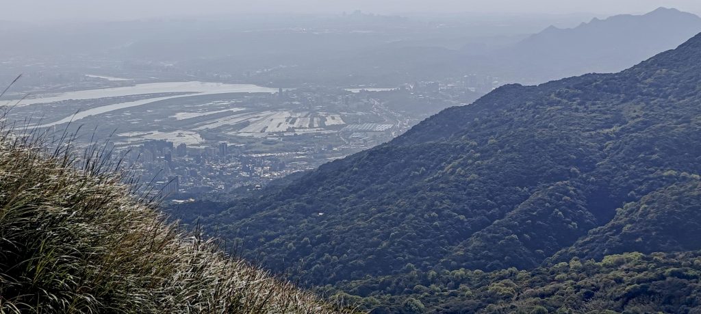
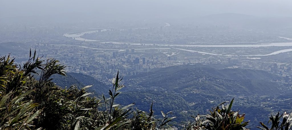
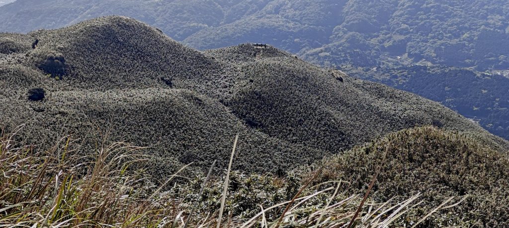
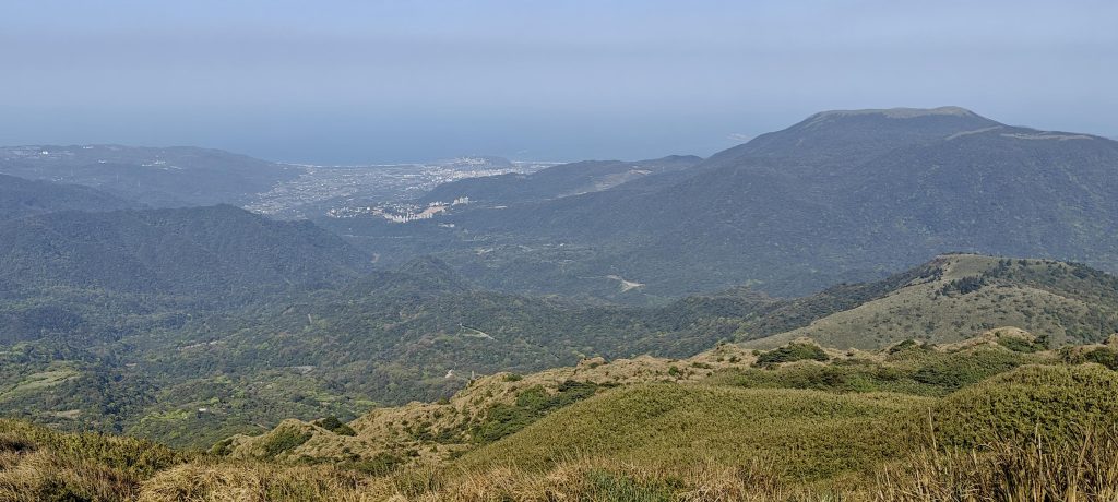
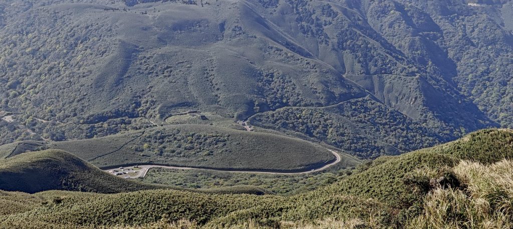
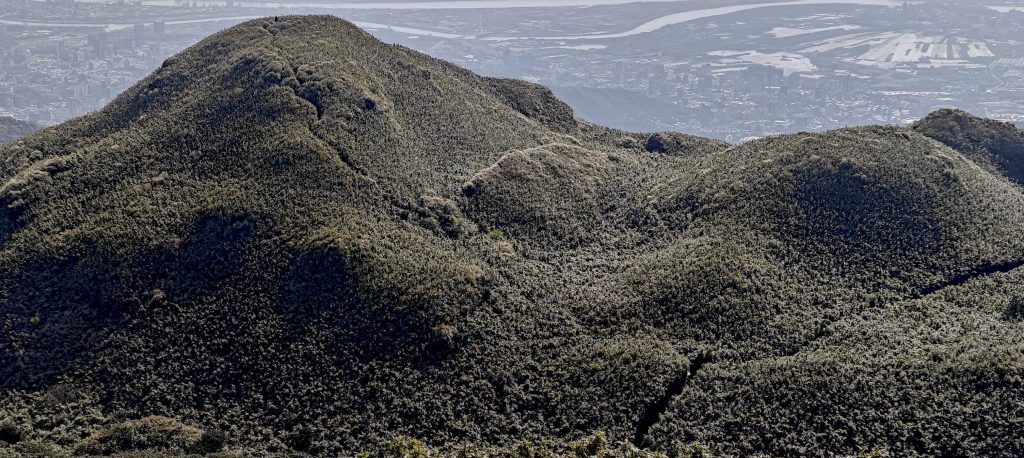
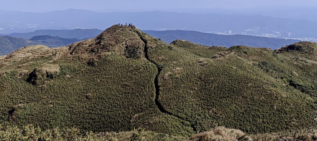
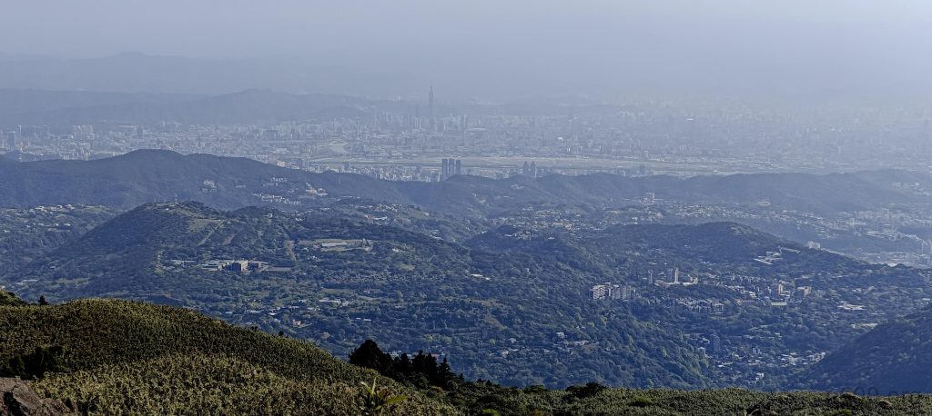
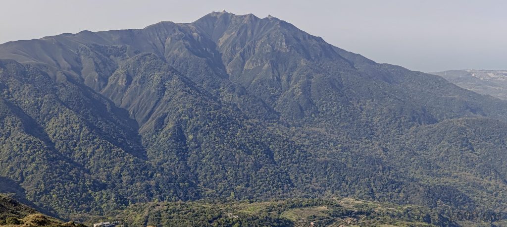
Sulphur and smoke wafting over warm rocks – Mother Nature’s version of a sauna session.Active fumaroles nestled in the bamboo forest – because even nature likes to mix things up with a steamy surprise.Sulphur-covered holes belching hot steam.Mt. Xiaoguanyin stands at 1070m, sporting an antenna complex like a crown—because every mountain needs its bling.The summit, playing hard to get in the background, evidently thinks it’s the shy one.Views into Taipei cityMt. Zhuzi, standing at 1094m, doubles as a military base with radar.Bamboo-covered peaks looking impressive.Jinshan District casually making an appearance in the background.Parking – because the adventure must start somewhere, preferably without a parking ticket.
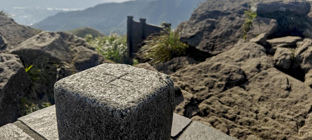
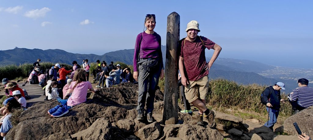
After absorbing all the information from the boards along the way, forty minutes later, we reach the bustling summit. Among the crowd, everyone clamors for a photo with the summit marker, and we’re no exception. After snapping a few obligatory pictures, we head towards the obviously lower SW summit.
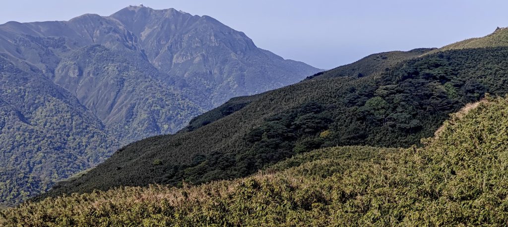
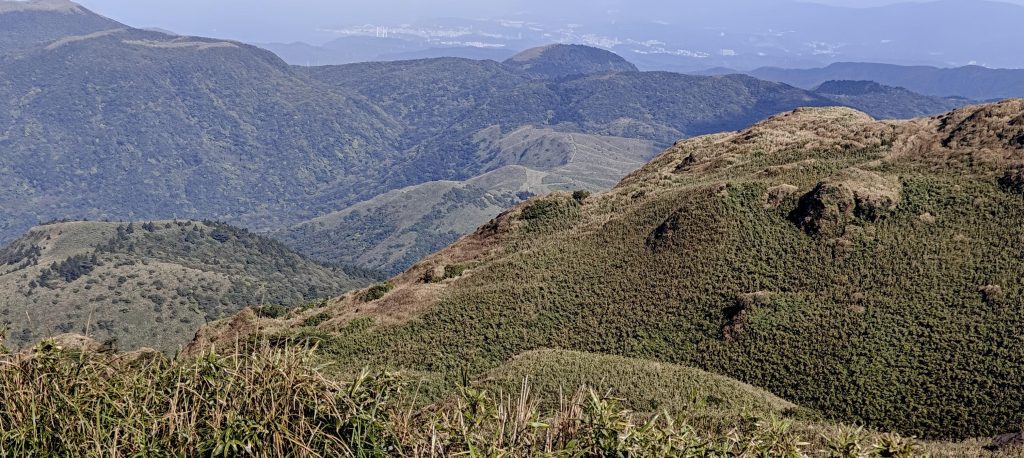
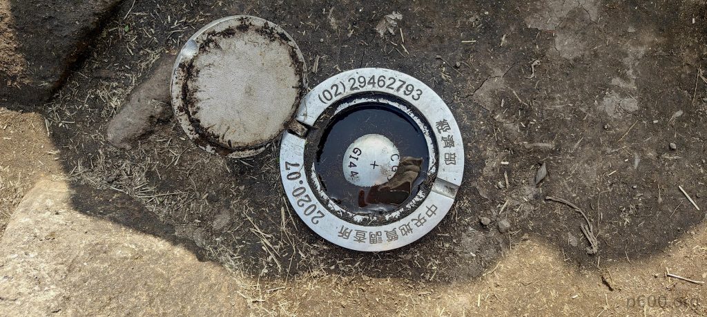
Trig pillar marks the summit, but the real highpoint is an outcrop nearby.Richard takes charge behind the camera, capturing Denise and me in a victorious summit pose.Surrounding lower peaks, humbly bowing to the summit’s majesty.The trail carves through the bamboo carpet like trenches.More views from the lower SE summit.One more trig pillar, because apparently, mountains need more than one bookmark.An impressive survey with a nice-looking cover caught my attention, known as Berntsen survey marker.A charming summit at 1094 meters, Mt. Zhuzi offers scenic views, though its access is probably restricted due to the presence of radars stationed atop, adding a touch of mystery to its allure.
Surprisingly, this hike turned out to be quite fascinating, thanks to the volcano activity and the impressive bamboo forest. It’s a fitting end to our Taiwan adventure. Returning to the hotel, we enjoy a relaxed evening before catching our flight to Seoul, South Korea, the next morning.
Qixingshan
1118 m altitude
1058 m prominence
36.45 km isolation
Ranges
East China - Taiwan
Countries/regions
China - Taiwan
Distance
2.00 km up
2.20 km down
Elevation
317 m gain
317 m loss
Time
0h40 up
0h10 other
0h50 down
1h40 total
Trailhead
800 m altitude
25.1773050, 121.5472770
Route
The trail is well-maintained with clearly marked, sturdy stone paving and stairs provided at steeper sections for ease of navigation.
Difficulties
Navigating crowded trails can be challenging due to limited space for passing fellow hikers.