Skip to content
Menu
p600.org
  • home
  • map
  • trips
  • about
p600.org

Jiri-san

hike | 2024-03-24

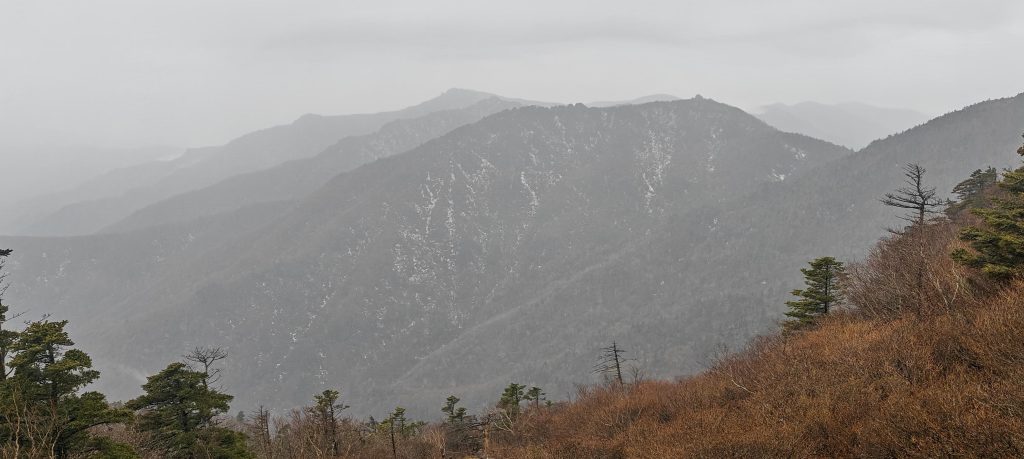
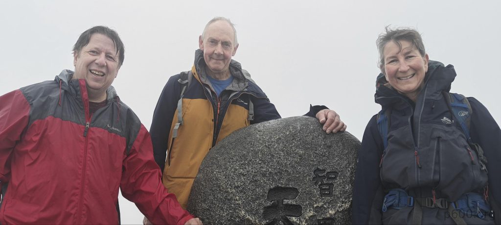
Embarking on our journey on March 24th, 2024, Ricard, Denise, and I set out on the adventure of ascending Jiri-san, locally known as Cheonwangbong. Because, really, what better way to spend a serene Sunday than challenging gravity and pushing our limits? Standing tall at 1915 meters, with a prominence of 1695 meters that dwarfs most, and isolated by 245 kilometers, Jiri-san is no ordinary hill. It reigns as the titan of Jirisan National Park, enticing us primarily for being the highest ultra-prominent peak in mainland South Korea. After all, why settle for anything less than the most formidable? Oh, and for me, it also happens to be the easternmost ultra peak to date.

Our escapade didn’t kick off at Jiri-san’s foothills but rather in the deluxe backseat of a taxi heading from Jinju to Jirisan National Park—because what’s more adventurous than journeying with air conditioning? Following a dynamic haggle and a dash of Google Translate magic, we clinched a deal for around 60,000 Korean won (about 41 EUR), a shrewd move considering the notorious bus schedule and the distance exceeding 40 kilometers. This strategy, ultimately costing us an extra 5,000 won, proved to be a clever time-saving hack, granting us precious extra hours for our adventure.

The route winds through a terrain dotted with large, moss-covered boulders, reminiscent of the verdant, ancient forests of Europe.
The route features a striking, sharply pointed pyramid-shaped boulder as a notable landmark.
The trail meanders through dense bamboo groves that thin out and disappear at elevations above 1200 meters above sea level.
Directions and distances are clearly marked along the well-maintained trail.
At the first section of the trail, an altitude profile provides excellent expectation management for hikers.

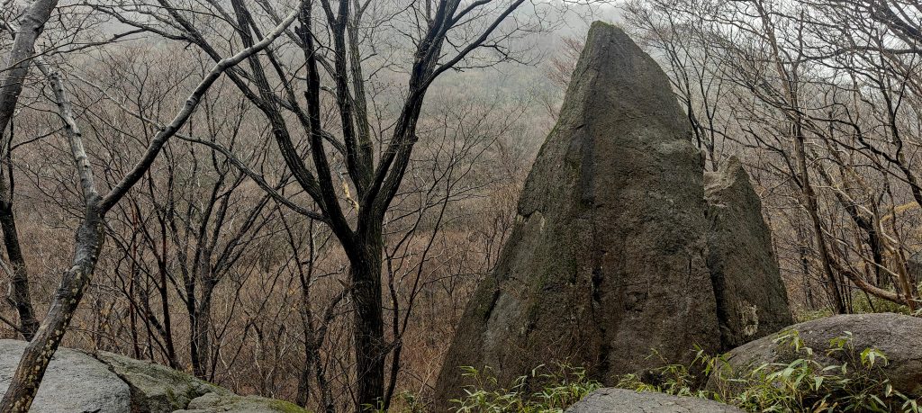
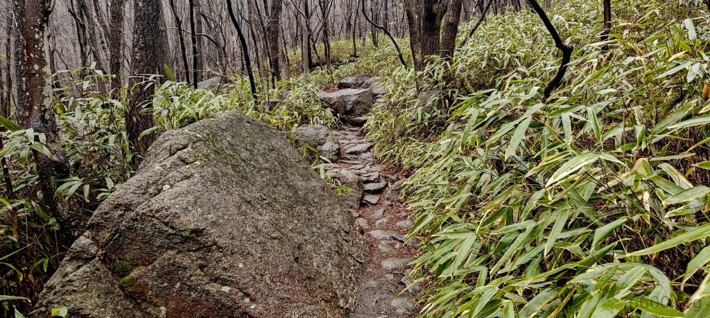
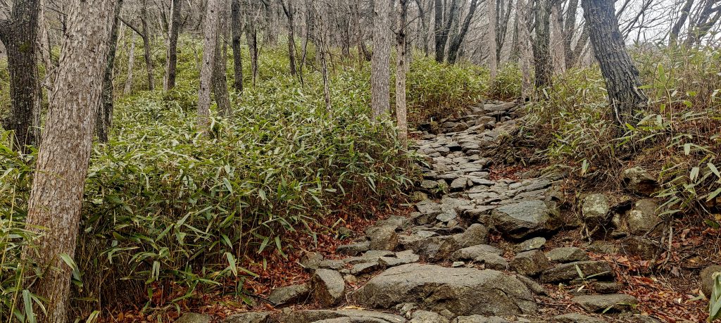
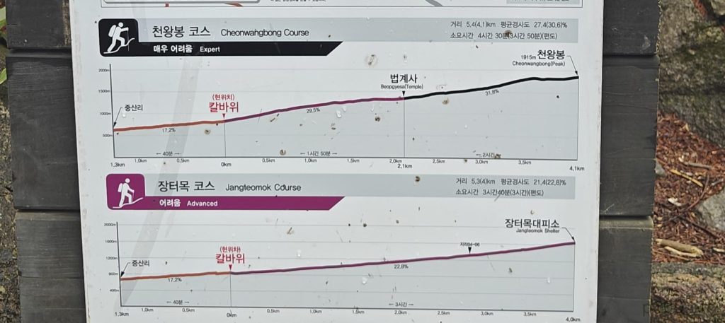
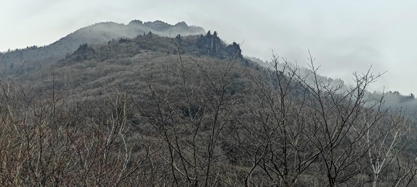
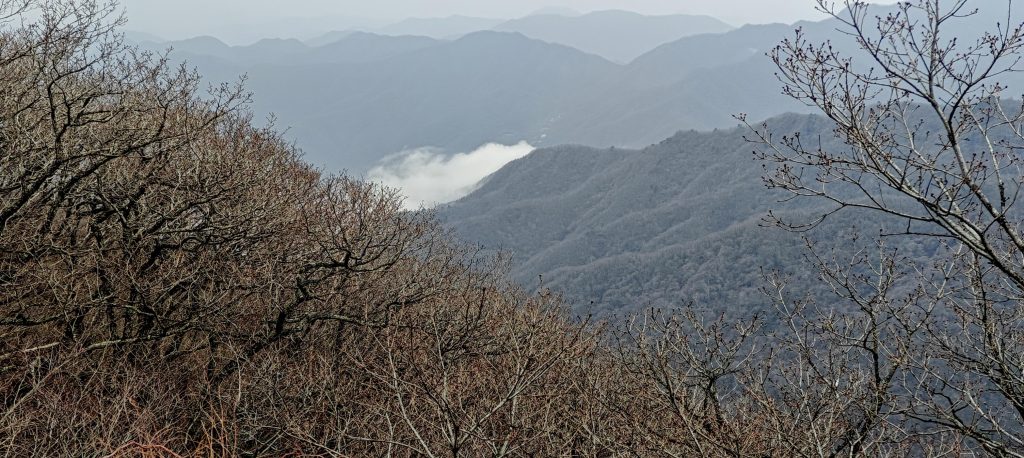
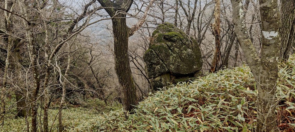
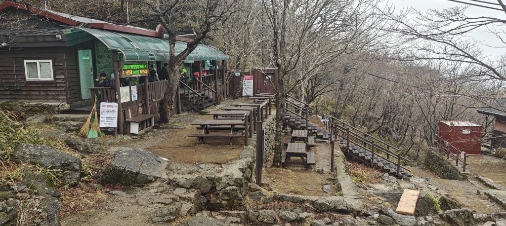
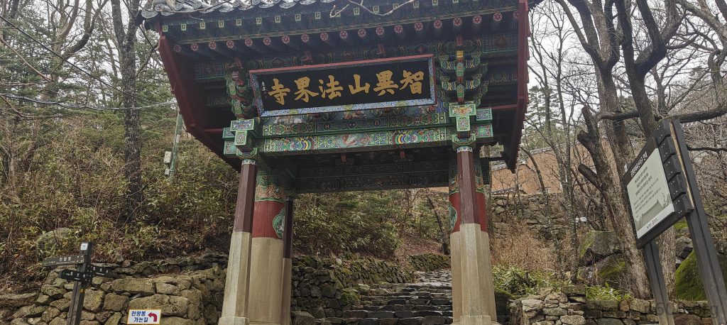
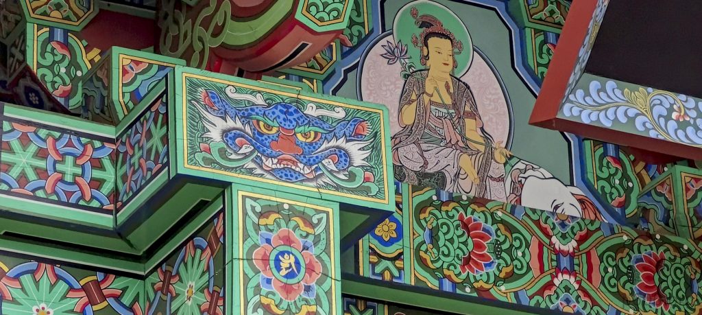
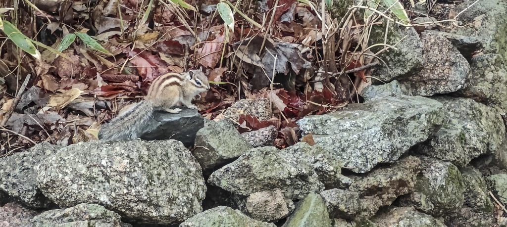
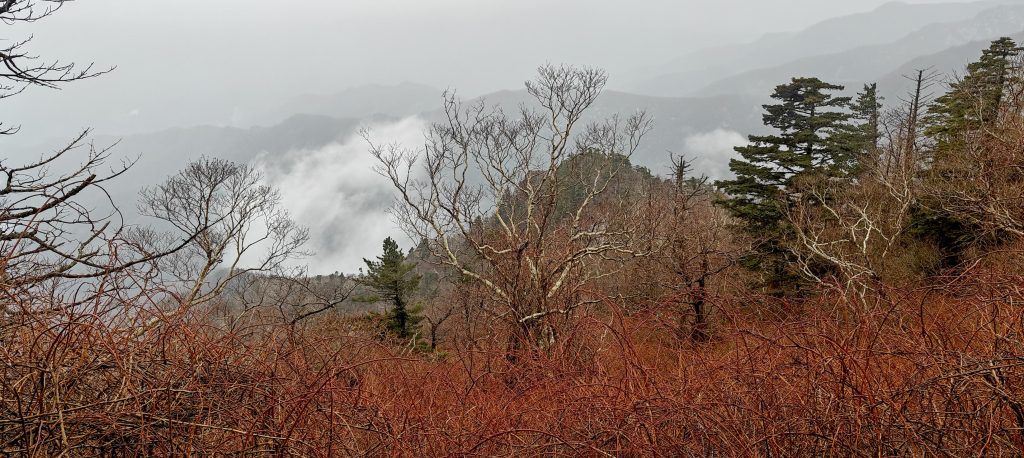
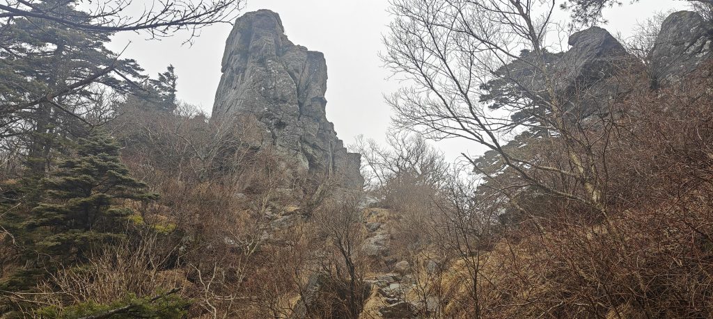
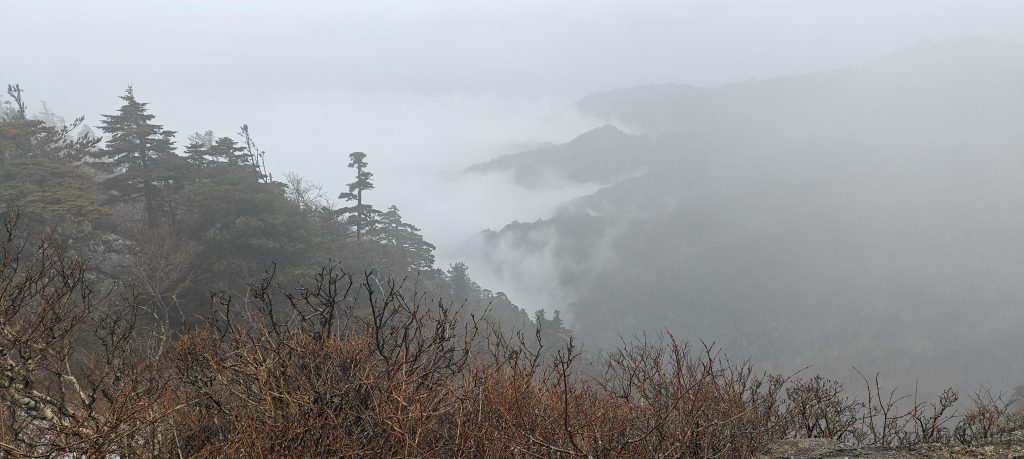
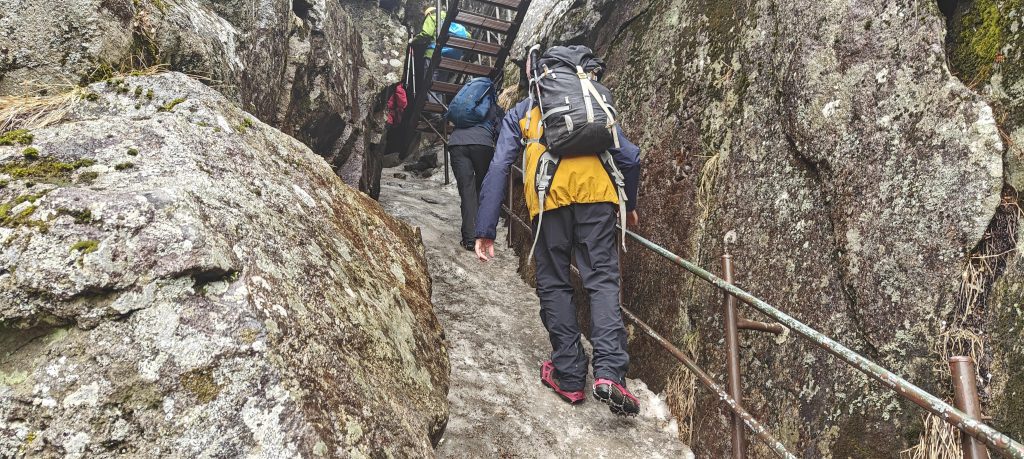
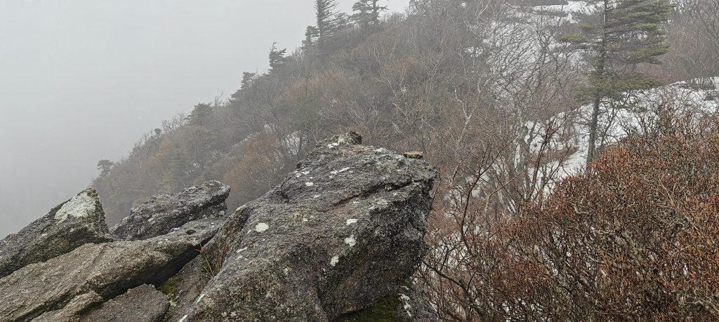
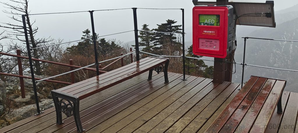
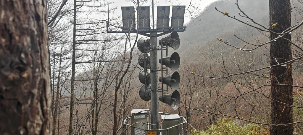
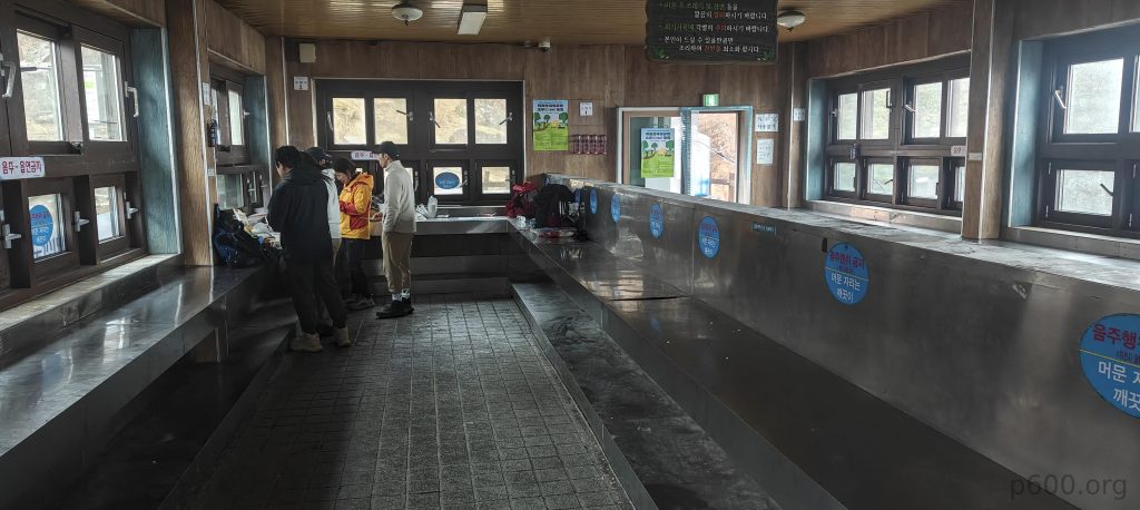
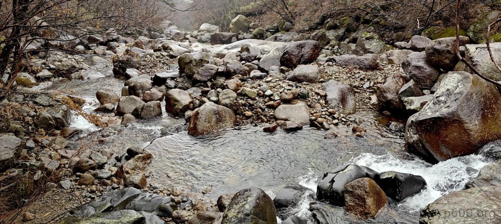
Embraced by the park’s immense natural beauty and bamboo forests bidding us farewell with a teasing sway, we confronted the trail ahead. Despite the enveloping fog, clouds, and relentless drizzle, the allure of our surroundings remained undeniable. The path, a meticulously maintained fusion of stone steps and wooden bridges, guided us to a campsite equipped with rental gas stoves and possible accommodation, though we opted to push forward. Welcomed by a chipmunk at the temple entrance above the shelter, we proceeded along the trail, admiring the climb’s effortless nature thanks to the well-established infrastructure.

The trail offers a few rare views of the valleys below.
A shelter and temple are located a little higher than midway along the trail.
A chipmunk can often be seen at the temple entrance.
The trail is lined with reddish bushes, giving it an autumnal feel even outside the fall season.
The abundance of stairs along the trail facilitates an easier climb.
Higher peaks display patches of snow nestled among the trees.
The trail provides the first glimpse of the summit.

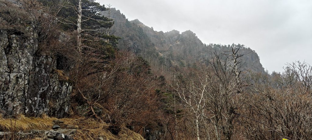
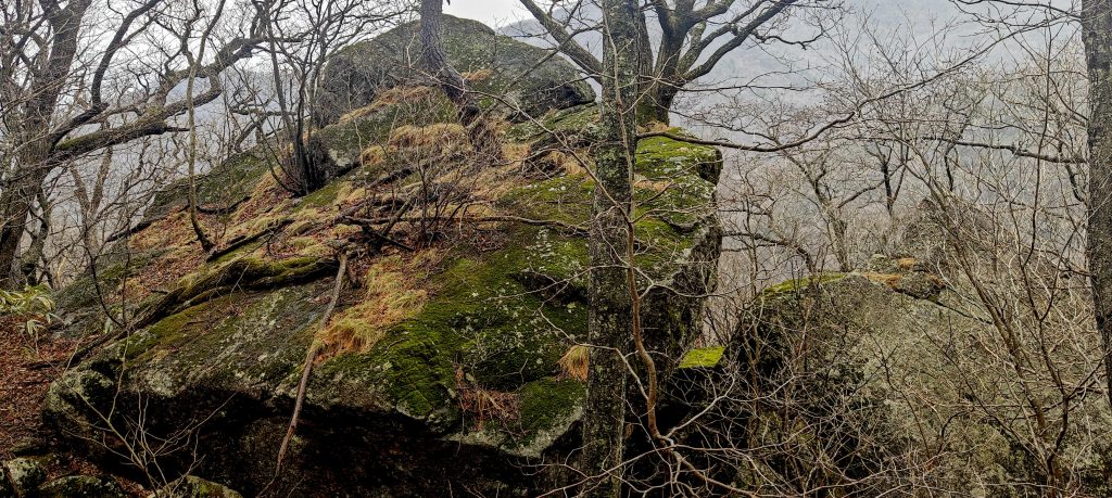
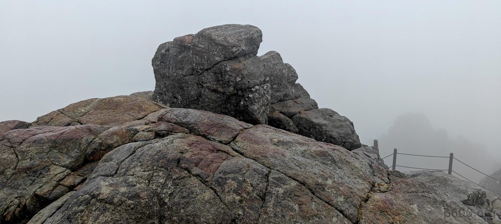
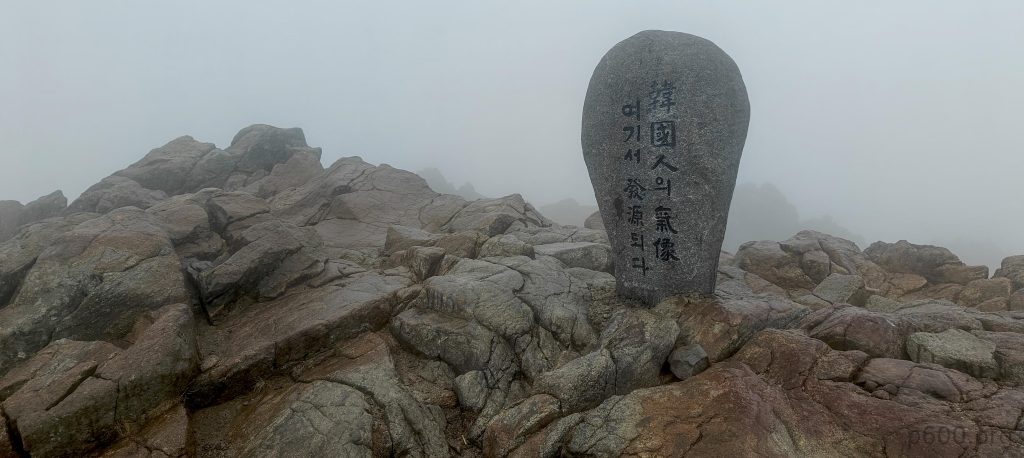
Reaching the summit proved to be less solitary than anticipated, as several others joined us in celebrating the moment. While an official stone marked the designated high point, the true peak—a natural outcrop—sat a few meters to the west, humble yet unmistakable in its presence.

The true highpoint is an outcrop located a few meters away from the marker.
The highpoint marker is popular among selfie takers.
Oh, of course, we’re not special. We just have to take selfies at the summit like everyone else.
There are some sharp pinnacles along the trail.
We are in the cloud, with an even denser cloud layer below us.
Descending, we encountered a narrow space between rocks with some hard-packed icy snow and opted to use our microspikes, making good use of the gear we’d brought along.
Denise and Richard chose to navigate along the ridge through bushes, while I took an easier trail around; I’m envious of their bushwhacking adventure.

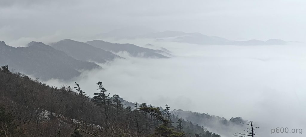
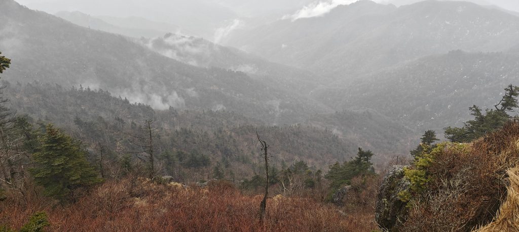
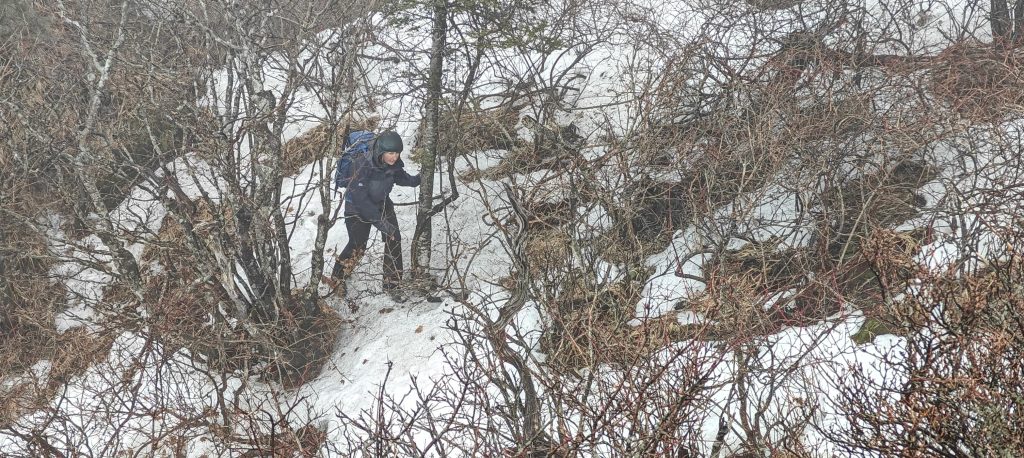
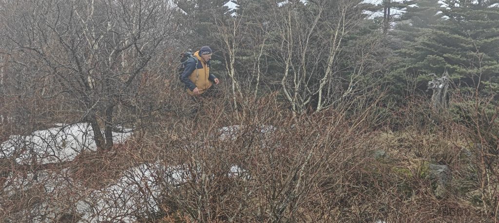
Choosing to complete a loop back, we descended along the western trail, passing by another hut and seizing the chance to conquer Joseok-bong P46. Though this detour demanded a short bushwhack, the rewards were ample. As we descended towards the Jangteomok Shelter, we once more appreciated the amenities available for hikers keen on preparing a meal.

The Jeseok-bong P46 highpoint is an outcrop with a steep drop on one side and easy access from the other.
Some stops along the trail feature medical first aid stations, and speaker systems are installed at the lower section of the mountain, indicating the trail is well-maintained and frequented by many tourists in peak seasons.
In the huts, hikers can rent or buy gas stoves and gas, and prepare food in these improvised kitchens, which is a nice convenience.
On the way down, we generally follow the trail that runs alongside a rocky river.

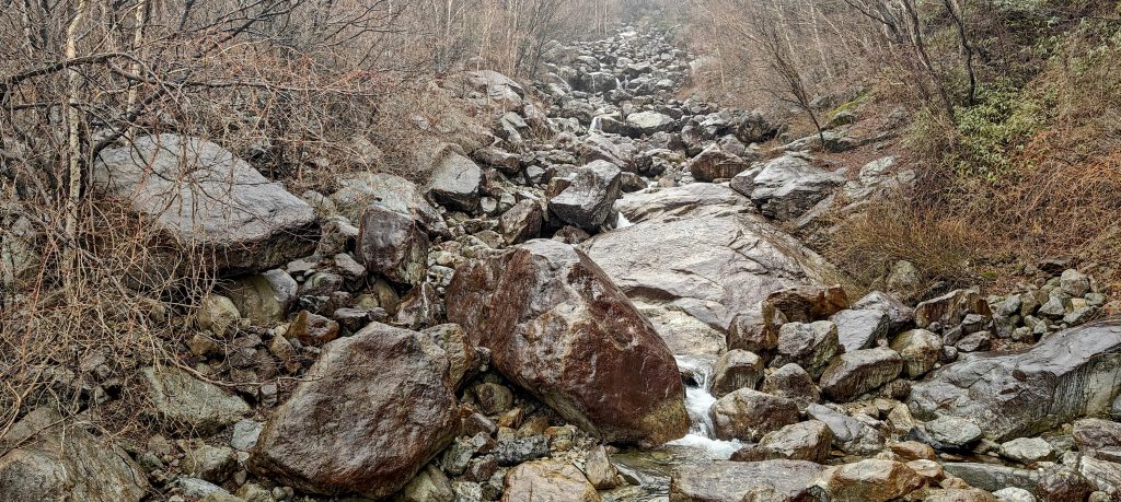
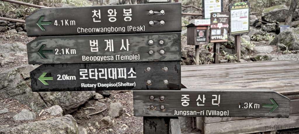
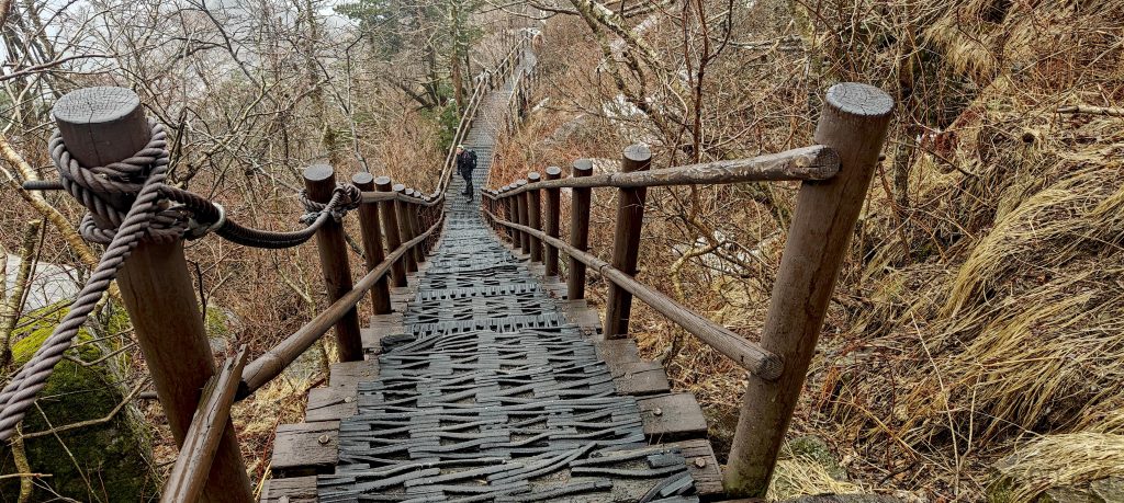
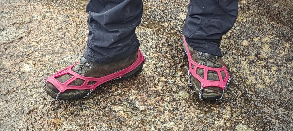
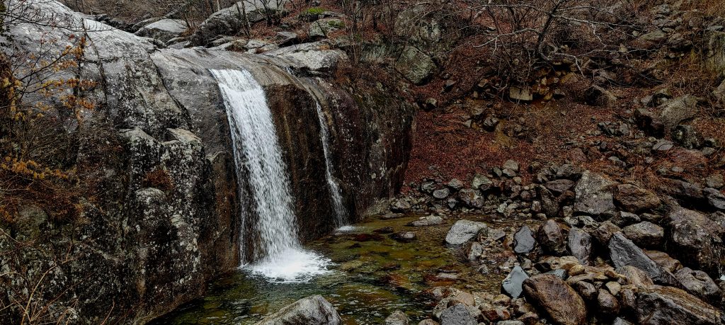
The return trail, characterized by hanging bridges and rugged terrain requiring careful footing, guided us back to our taxi drop-off point. As we made our final approach to Jungsan-ri village, we were pleasantly surprised to spot a bus bound for Jinju. With approximately 25 minutes to spare, it was the perfect opportunity to grab coffee and snacks from a nearby shop.

The waterfall is impressive, mainly due to its solid rocky wall behind the water.

As I reflected on the day, it was a remarkable hike along a meticulously maintained trail, ticking off yet another ultra-prominent peak. While Denise and Richard embarked on their journey to conquer Halla-san in Busan and then Jeju-do, I eagerly anticipated my return trip to Seoul, then Frankfurt, and finally Vilnius. Next on my agenda: exploring the ultra-prominent peaks of the Canary Islands. It struck me as odd that I hadn’t tackled them until now.


Jiri-san1915 m altitude
1695 m prominence
245.14 km isolation
RangesAsia – Korea-Amur Area – Taebaek Sanmae
Countries/regionsSouth Korea – Gyeongsangnam-do
Distance5.30 km up7.10 km down
Elevation1287 m gain1287 m loss
Time
3h00 up
0h10 other
3h00 down
6h10 total
Trailhead627 m altitude35.3034380, 127.7490570
RouteThe route begins at the gates, where an information kiosk is located. A short walk on a paved route leads to a good, wide, and well-maintained trail to the hut, and later to the summit. The ascent is consistently easy, with no difficult sections. Similarly, the descent follows an easy and steady path, with a loop back that leads down a different trail. Along the route, there are plenty of handrails, bridges, stairs, and handholds where needed, ensuring a safe and accessible journey.
DifficultiesIf you plan to reach the trailhead by public transport, it would be beneficial to locate timetables in advance.
LinksGPX trail
  • Korea-Amur Area 2024
  • « Jinjuseong
  • South Korea »

Mountain Ranges

Anatolia
Central Anatolia
Pontic Mountains
Southeast Anatolia
Taurus Mountains
Western Anatolia
Andes
Puna de Atacama
Atlas Mountains
High Atlas
Northwestern Atlas
Central America Ranges
Costa Rica-Panama Ranges
Central Central America
East China
Taiwan
Eastern Europe Ranges
Southeast Baltic Plains
Iberian Peninsula
Cordillera Cantabrica
Castile Ranges
Portugal-Galicia
Pyrenees
Intermountain West
Great Basin Ranges
Korea-Amur Area
Taebaek Sanmae
Malay Archipelago
Java
Nusa Tengarra
Sulawesi
Sumatra
Mid-Atlantic Islands
North Atlantic Islands
Mongolia Ranges
Altai
Gobi Desert Ranges
Hangay Mountains
Northwest Europe
Great Britain
North France-West Rhine Area
Pacific Ranges
Cascade Range
Northwest U.S. Coast Ranges
Sierra Nevada
Central and Southern California Ranges
Philippines
Central Philippines
Luzon
Mindanao
Southeast Asia
Malay Peninsula
Southeast South America
Pampas
Sierras de Cordoba
Southern Africa
Malawi Highlands
West Africa Mountains
Bight of Benin
Cameroon Mountains
Guinea Highlands

Countries / regions

Algeria
Ain Guezzam
Ain Salah
Aïn Témouchent
El Bayadh
Ghardaïa
Oran
Ouargla
Saïda
Sidi Bel Abbès
Tamanrasset
Argentina
Catamarca
Ciudad Autónoma de Buenos Aires
Córdoba
Jujuy
Salta
Tucumán
Belgium
Brussels Capital Region
Flemish Region
Cameroon
Southwest
China
Taiwan
Costa Rica
Alajuela
Cartago
Guanacaste
Heredia
Limón
San José
Czechia
Prague
Denmark
Greenland
France
Hauts-de-France
Occitania
Germany
Berlin
Niedersachsen
Indonesia
Bali
Jambi
Jawa Tengah
Jawa Timur
Nusa Tenggara Barat
Sulawesi Tengah
Sulawesi Utara
Sumatera Barat
Lithuania
Vilnius County
Mongolia
Bayankhongor
Govi-Altai
Khovd
Omnogovi
Ovorkhangai
Ulan Bator
Zavkhan
Morocco
Béni Mellal-Khénifra
Drâa-Tafilalet
Fez-Meknes
Marrakesh-Safi
Souss-Massa
Tangier-Tetouan-Al Hoceima
Mozambique
Zambezia
Netherlands
Gelderland
Noord-Holland
Zeeland
Nicaragua
Chinandega
Managua
Masaya
Rivas
Philippines
Bicol Region (V)
Cagayan Valley (II)
Calabarzon (IV-A)
Central Luzon (III)
Cordillera Administrative Region
Davao Region
Metro Manila
Soccsksargen (XII)
Western Visayas (VI)
Poland
Greater Poland Voivodeship
Masovian Voivodeship
Portugal
Castelo Branco
Leiria
Lisbon
Madeira
Santarém
Qatar
Ad-Dawhah
São Tomé and Príncipe
São Tomé Province
Sierra Leone
Northern Province
Western Area
Singapore
South Korea
Gyeongsangnam-do
Seoul
Spain
Aragón
Asturias
Castilla-La Mancha
Castilla y León
Catalonia
Islas Canarias
Switzerland
Zürich
Turkey
Antalya
Bitlis
Erzincan
Hakkâri
Igdir
Isparta
Kahraman Maras
Muğla
United Kingdom
England
Scotland
United States
California
Delaware
Florida
Maryland
Nevada
New Jersey
New York
Pennsylvania
South Carolina
Utah

TRIPS

2024
Southern Africa 2024
Mid-Atlantic Islands 2024
North America 2024
Anatolia 2024
Korea-Amur Area 2024
East China 2024
2023
Mongolia Ranges 2023
Philippines 2023
West Africa III 2023
West Africa II 2023
Iberian Peninsula 2023
West Africa 2023
Central America 2023
2022
Andes 2022
Northwest Europe 2022
Malay Archipelago III 2022
Malay Archipelago II 2022
Anatolia Mountains 2022
Iberian Peninsula 2022
Atlas Mountains 2022
North France-West Rhine Area 2022

archaeology (3) climb (157) food (2) hike (155) p30 (17) p50 (4) p100 (24) p300 (12) p600 (17) p1000 (11) p1500 (76) ribu (10) sight (46) summary (16) trig (44) ultra (76)

1 591 km walked, 121 298 m climbed

©2025 p600.org | WordPress Theme by Superbthemes.com