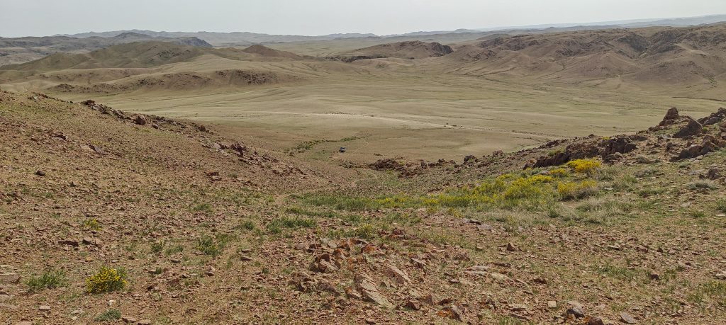
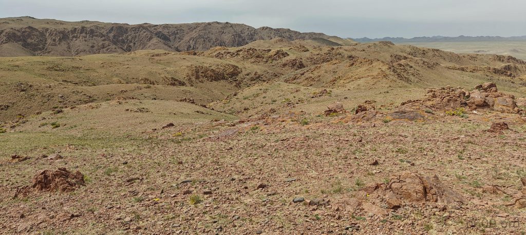
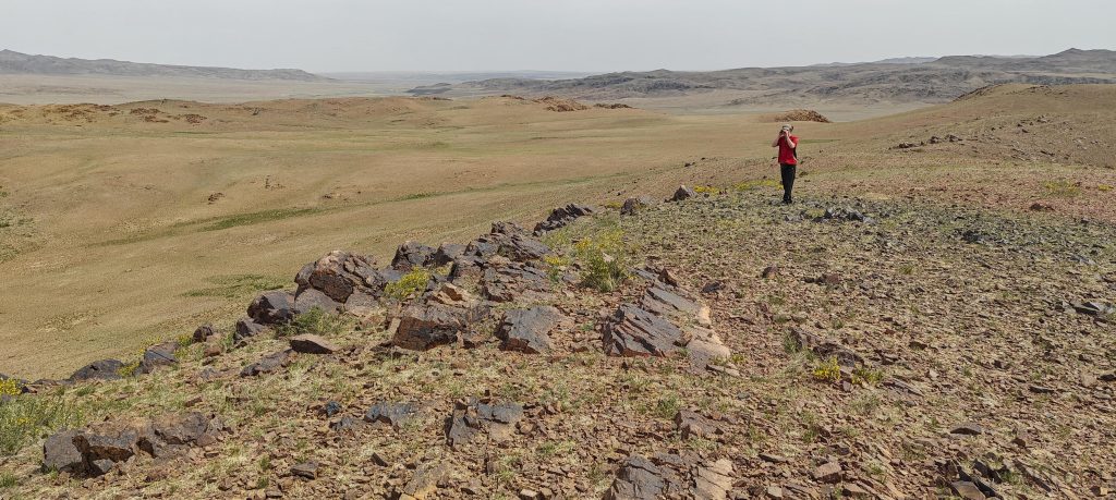
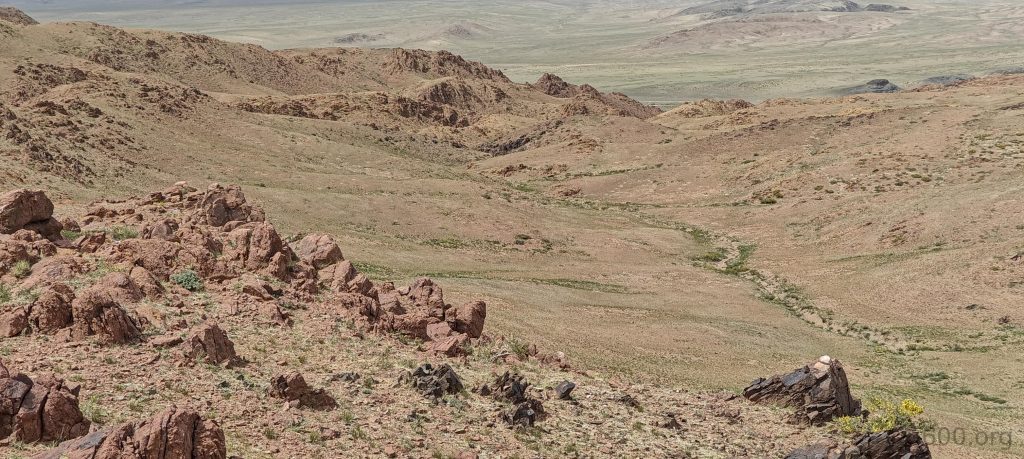
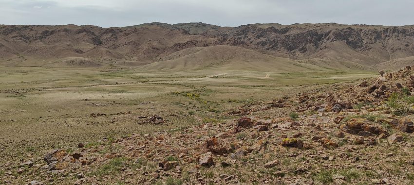
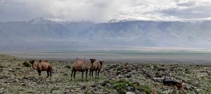
After scaling “Peak 1622m Jargalan,” our journey led us to the base of “Peak 1774m Taishir.” The shepherd’s trail made for an easy and brief ascent. The summit plateau, rugged with at least three subsummits vying for dominance, presented a puzzle. Rob, armed with a hand level, spent some time discerning the true high point, eventually crowning the central peak as the king, though the northeast summit was a close contender. Moments later, we were back in our vehicle, en route to drive to the next simila peak – “Peak 1727m Taishir.”
