Skip to content
Menu
p600.org
  • home
  • map
  • trips
  • about
p600.org

Flat Top Mountain

hike | 2024-06-20

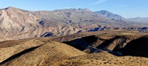
This peak wasn’t in my original plan. But again, I check my calendar, I check the map, and bang… I have time and there’s an unclimbed-by-me ultra-prominent peak in relative proximity. Such a coincidence. Of course, I find a way to the peak. At the trailhead, there’s a big parking area (no overnight stays mentioned at the entrance). There’s an official trail map, and one of the trails goes to Hall Basin, which is very close to Flat Top Mountain summit. I change and start walking at a brisk pace due to the good road.

Most. of the hike on the unpaved forest road.
Green slopes surround me.
True, in about 1.6 miles there is a gate clearly stating that the property is private and trespassers will be prosecuted, just in case you missed the hint.

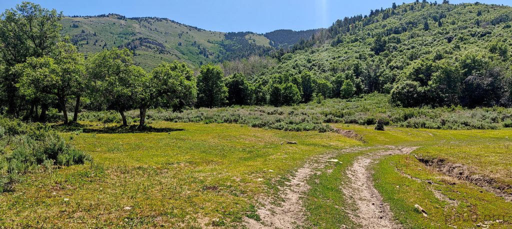
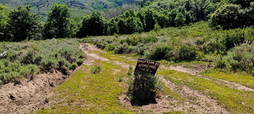
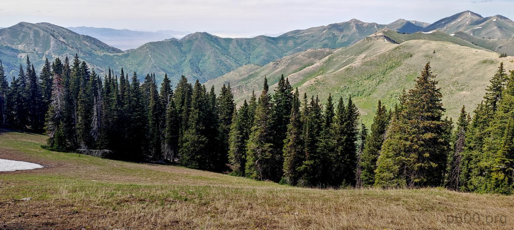
Easy walking on the gradual road makes the hike enjoyable, allowing me to relax and look around. Trees provide much-needed shade. At the fork, a sign says that the access road will finish in 1.6 miles, and it’s true. About this distance in, there’s a sign stating private land, no trespassing. This contradicts the map below, which shows the trail going all the way to Halls Basin. Okay, 20 meters before the barrier, there’s some kind of forest ‘opening’ on the right side. Maybe that’s a trail directly to the summit. I didn’t check it, but it could be an old, overgrown trail.

A lot of shade during the hike.
Halls Basin is a very nice, calm, green place with a lot of trees; it might be a destination by itself.
People think they will be more important if they carve their name on the tree, or what’s the motivation?

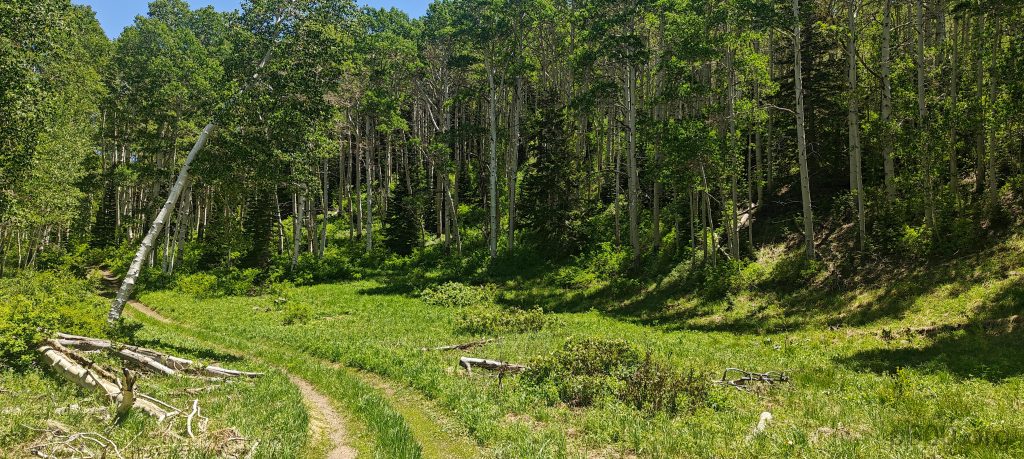
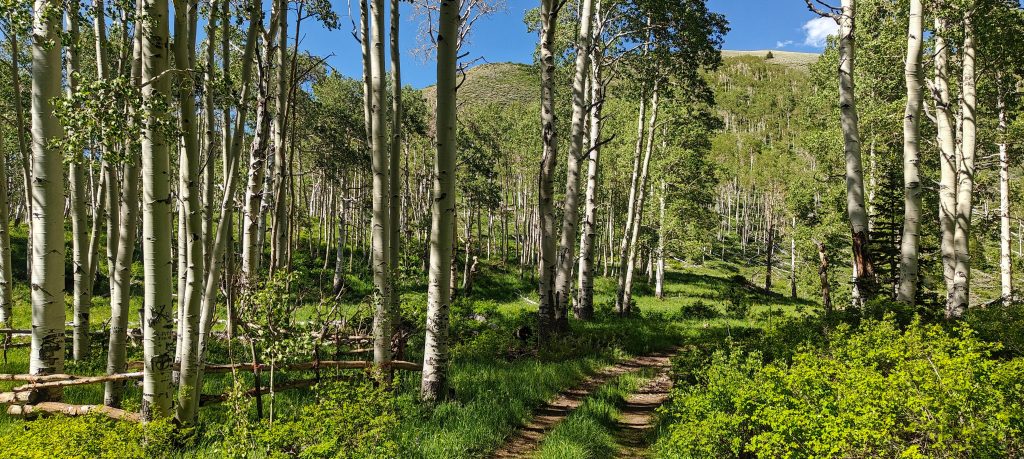
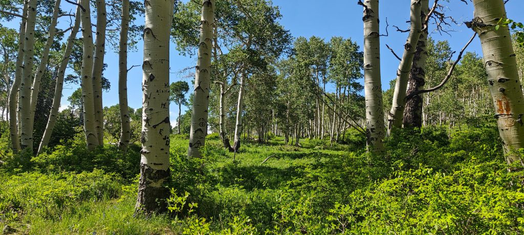
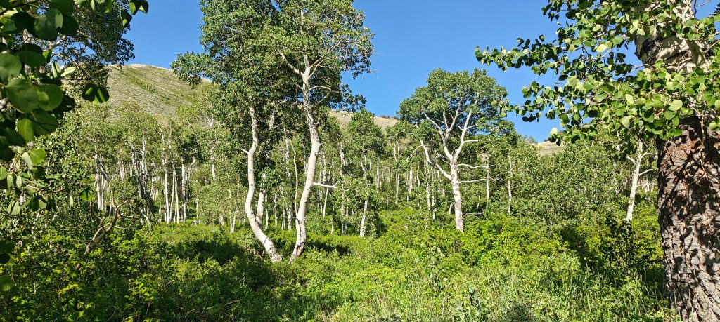
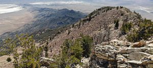
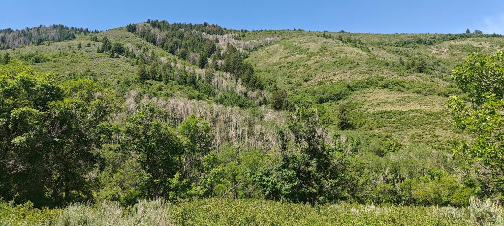
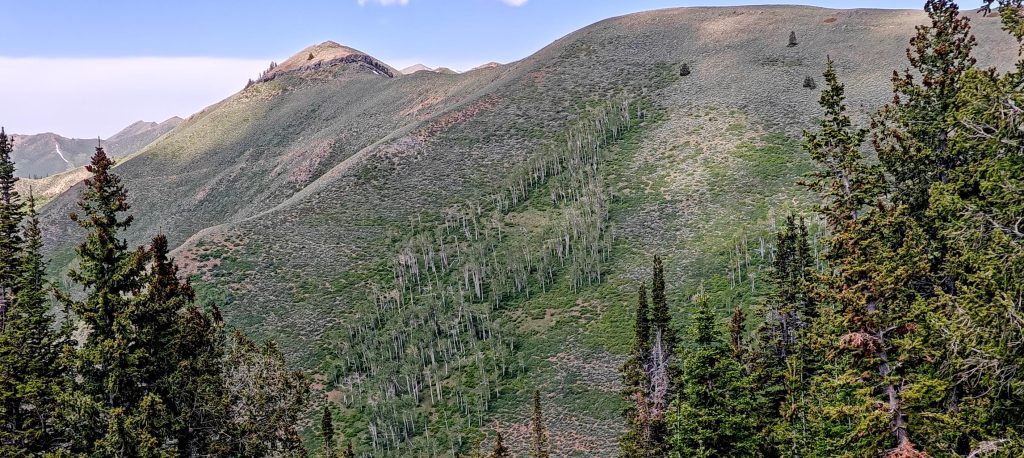
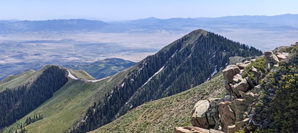
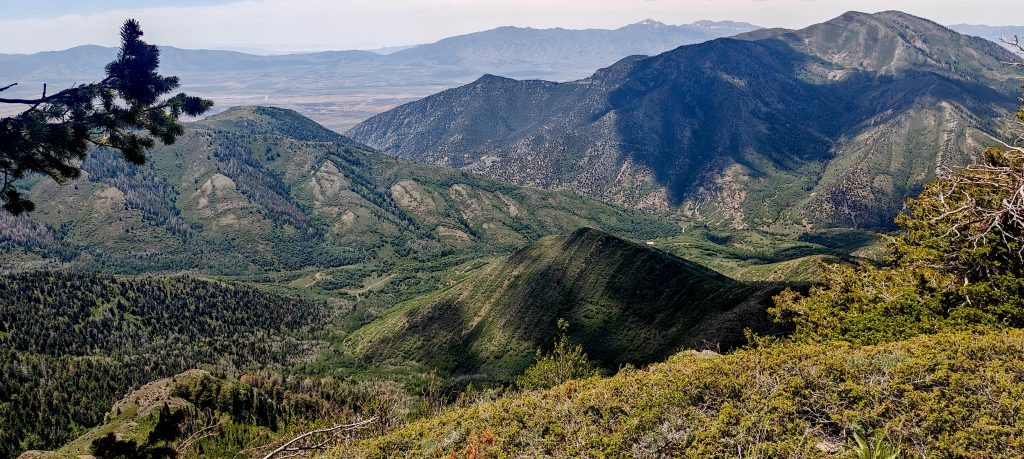
From Halls Basin, a reasonably good trail starts in the forest toward the summit. Sometimes it’s obvious, sometimes I lose it and follow some game trails. Not much is needed, as most of the time I soon get back to something that looks like a trail. There’s one small section with talus and easy scrambling, but it can likely be avoided by walking on one side. Once exiting the forest, the terrain becomes very gradual, and I continue on the ridge.

Flat Top Ridge Peak 3025m, initially I thought that was my peak but soon realized I was heading much more to the left.

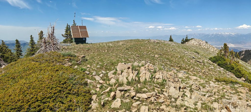
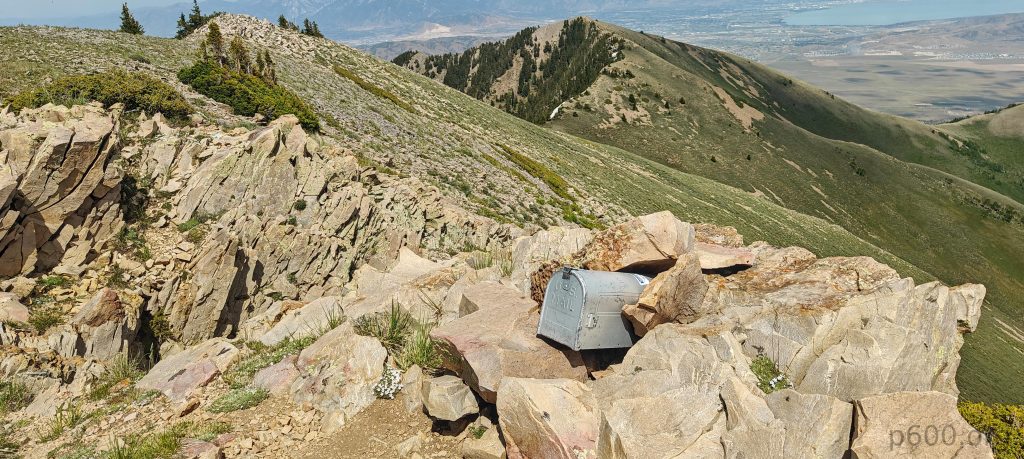
The high point has a post box, likely with an ascent log inside. Fifty meters to the northwest, a flat bump looks similar in height and has some construction on it. However, my internal voice and observations say that the high point is where the post box is located. Anyway, I visited both to be sure. I had my traditional apple and walked down the same trail.

The summit has some construction with a solar panel that may be the highest point, but the true highpoint is likely 50 meters southwest, which also has a post box.
Utah Lake and the Wasatch Range in the background provide a stunning backdrop.
Clearly stated that behind the barrier is private property and trespassers will be prosecuted. I’m lost as it’s not clear how to reach the summit, even though the official trail goes towards it.
I enjoyed a very green and relaxed hike on the forest road and trail, with a lot of flora along the way.

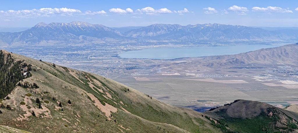
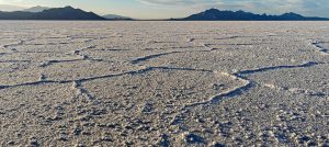
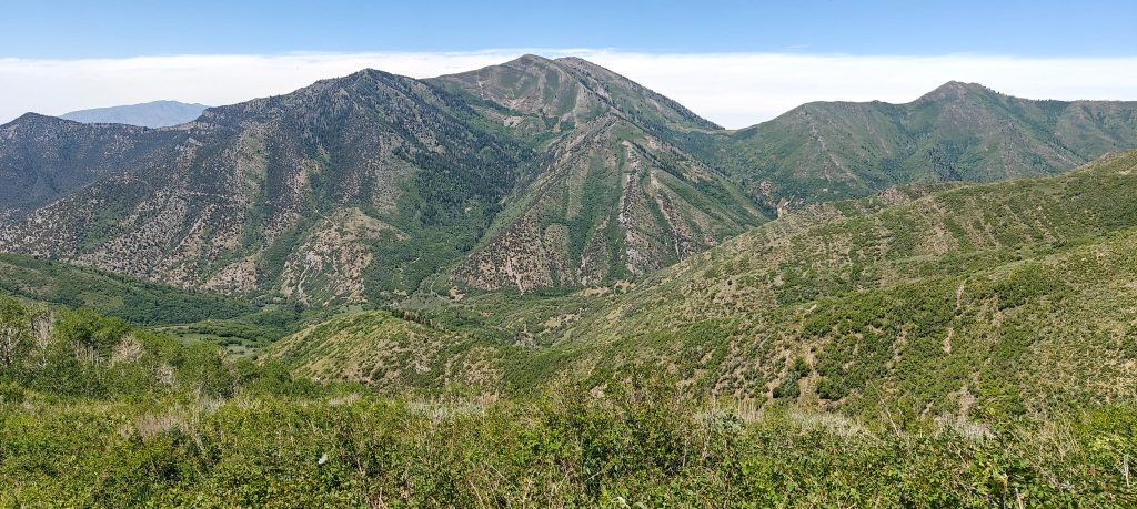
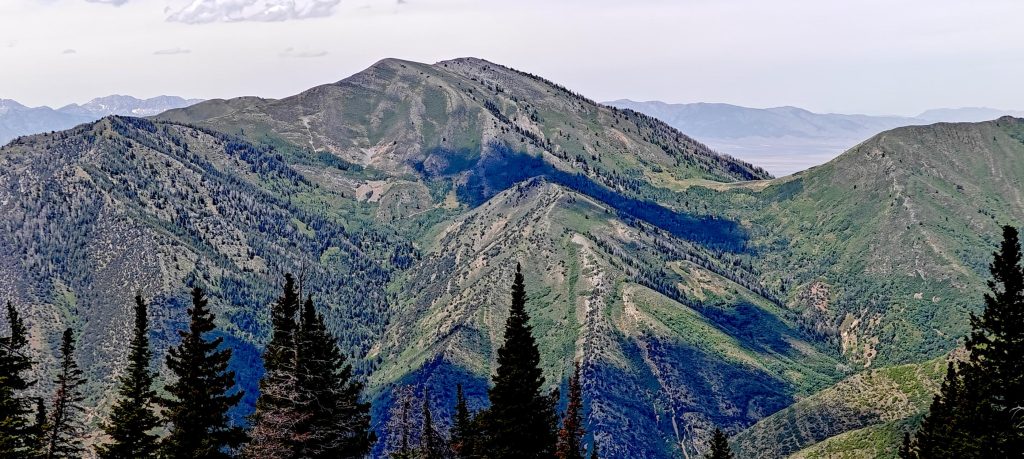
The first ultra-prominent peak in Utah was a good start, but other peaks look trickier, mainly due to snow. I believe Deseret Peak would be a good target, but part of the trail is on the north side in a gully, so I bet I’ll turn around there. I’ll skip it and drive back to Nevada to North Schell Peak, spending an extra hour or two roaming the Bonneville Salt Flats.


Flat Top Mountain3237 m altitude
1637 m prominence
37.98 km isolation
Ranges Intermountain West- Great Basin Ranges
Countries/regionsUnited States - Utah
Distance7.20 km up7.20 km down
Elevation1117 m gain1117 m loss
Time
3h10 up
0h10 other
2h30 down
5h50 total
Trailhead2119 m altitude40.3778240, -112.2333440
RouteI start a somewhat monotonous 4-5 km walk on the forest road toward Halls Basin. About 2 km before the road ends, I encounter gates with signs warning that trespassers will be prosecuted, though their meaning is unclear. Upon reaching the basin, I turn right onto a forest trail that is occasionally steep and easy to lose, though this doesn't pose much of a problem. I descend the same route, making a few obvious shortcuts.
DifficultiesAccess is not obvious.
LinksGPX trail
  • North America 2024
  • « Pilot Peak
  • Bonneville Salt Flats »

Mountain Ranges

Anatolia
Central Anatolia
Pontic Mountains
Southeast Anatolia
Taurus Mountains
Western Anatolia
Andes
Puna de Atacama
Atlas Mountains
High Atlas
Northwestern Atlas
Central America Ranges
Costa Rica-Panama Ranges
Central Central America
East China
Taiwan
Eastern Europe Ranges
Southeast Baltic Plains
Iberian Peninsula
Cordillera Cantabrica
Castile Ranges
Portugal-Galicia
Pyrenees
Intermountain West
Great Basin Ranges
Korea-Amur Area
Taebaek Sanmae
Malay Archipelago
Java
Nusa Tengarra
Sulawesi
Sumatra
Mid-Atlantic Islands
North Atlantic Islands
Mongolia Ranges
Altai
Gobi Desert Ranges
Hangay Mountains
Northwest Europe
Great Britain
North France-West Rhine Area
Pacific Ranges
Cascade Range
Northwest U.S. Coast Ranges
Sierra Nevada
Central and Southern California Ranges
Philippines
Central Philippines
Luzon
Mindanao
Southeast Asia
Malay Peninsula
Southeast South America
Pampas
Sierras de Cordoba
Southern Africa
Malawi Highlands
West Africa Mountains
Bight of Benin
Cameroon Mountains
Guinea Highlands

Countries / regions

Algeria
Ain Guezzam
Ain Salah
Aïn Témouchent
El Bayadh
Ghardaïa
Oran
Ouargla
Saïda
Sidi Bel Abbès
Tamanrasset
Argentina
Catamarca
Ciudad Autónoma de Buenos Aires
Córdoba
Jujuy
Salta
Tucumán
Belgium
Brussels Capital Region
Flemish Region
Cameroon
Southwest
China
Taiwan
Costa Rica
Alajuela
Cartago
Guanacaste
Heredia
Limón
San José
Czechia
Prague
Denmark
Greenland
France
Hauts-de-France
Occitania
Germany
Berlin
Niedersachsen
Indonesia
Bali
Jambi
Jawa Tengah
Jawa Timur
Nusa Tenggara Barat
Sulawesi Tengah
Sulawesi Utara
Sumatera Barat
Lithuania
Vilnius County
Mongolia
Bayankhongor
Govi-Altai
Khovd
Omnogovi
Ovorkhangai
Ulan Bator
Zavkhan
Morocco
Béni Mellal-Khénifra
Drâa-Tafilalet
Fez-Meknes
Marrakesh-Safi
Souss-Massa
Tangier-Tetouan-Al Hoceima
Mozambique
Zambezia
Netherlands
Gelderland
Noord-Holland
Zeeland
Nicaragua
Chinandega
Managua
Masaya
Rivas
Philippines
Bicol Region (V)
Cagayan Valley (II)
Calabarzon (IV-A)
Central Luzon (III)
Cordillera Administrative Region
Davao Region
Metro Manila
Soccsksargen (XII)
Western Visayas (VI)
Poland
Greater Poland Voivodeship
Masovian Voivodeship
Portugal
Castelo Branco
Leiria
Lisbon
Madeira
Santarém
Qatar
Ad-Dawhah
São Tomé and Príncipe
São Tomé Province
Sierra Leone
Northern Province
Western Area
Singapore
South Korea
Gyeongsangnam-do
Seoul
Spain
Aragón
Asturias
Castilla-La Mancha
Castilla y León
Catalonia
Islas Canarias
Switzerland
Zürich
Turkey
Antalya
Bitlis
Erzincan
Hakkâri
Igdir
Isparta
Kahraman Maras
Muğla
United Kingdom
England
Scotland
United States
California
Delaware
Florida
Maryland
Nevada
New Jersey
New York
Pennsylvania
South Carolina
Utah

TRIPS

2024
Southern Africa 2024
Mid-Atlantic Islands 2024
North America 2024
Anatolia 2024
Korea-Amur Area 2024
East China 2024
2023
Mongolia Ranges 2023
Philippines 2023
West Africa III 2023
West Africa II 2023
Iberian Peninsula 2023
West Africa 2023
Central America 2023
2022
Andes 2022
Northwest Europe 2022
Malay Archipelago III 2022
Malay Archipelago II 2022
Anatolia Mountains 2022
Iberian Peninsula 2022
Atlas Mountains 2022
North France-West Rhine Area 2022

archaeology (3) climb (157) food (2) hike (155) p30 (17) p50 (4) p100 (24) p300 (12) p600 (17) p1000 (11) p1500 (76) ribu (10) sight (46) summary (16) trig (44) ultra (76)

1 591 km walked, 121 298 m climbed

©2025 p600.org | WordPress Theme by Superbthemes.com