Skip to content
Menu
p600.org
  • home
  • map
  • trips
  • about
p600.org

Telescope Peak

hike | 2024-06-14

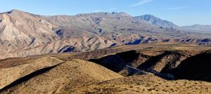
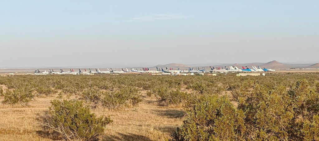
Last year, I aimed to hike Telescope Peak in November, but storms had closed the route a long time ago. This time, Death Valley National Park’s website says nothing about road closures. Time to try again! Mihai mentioned it hit 45°C in Death Valley last week, so I expect little snow on top.

Mojave Airplane Graveyard
Gypsum hills?
You can often see roads stretch for miles ahead.
This bi-optional sign reminded me I needed petrol; I was ready to detour 100 km to Lone Pine but luckily found a modern petrol station at Panamint, just 10 km away.
Impressive huge valleys stretch out before me, offering a view for miles and miles ahead.

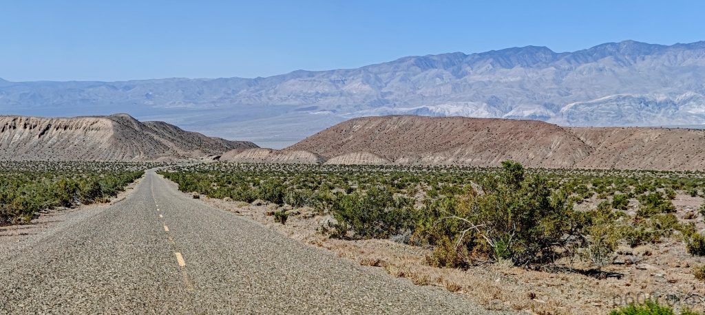
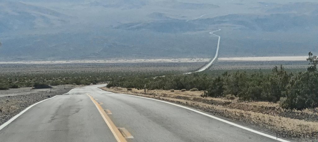
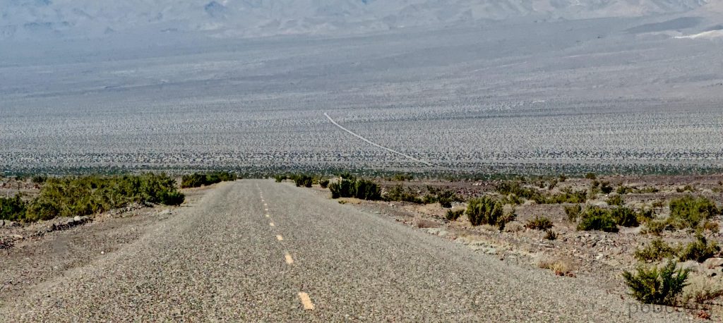
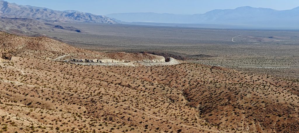
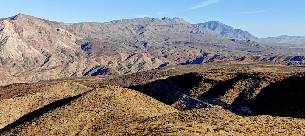
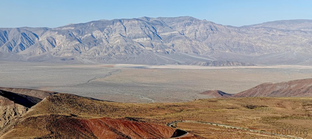
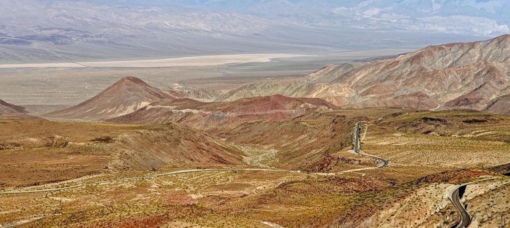
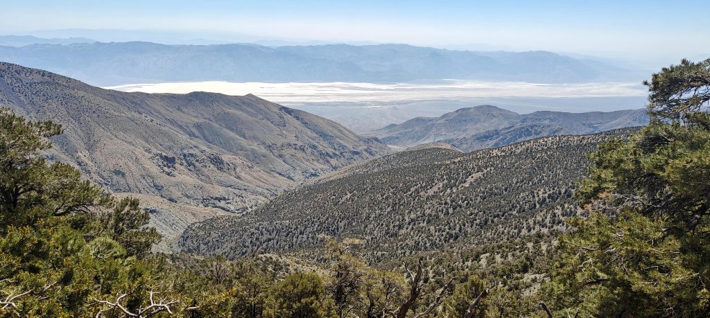
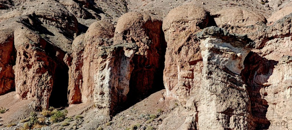
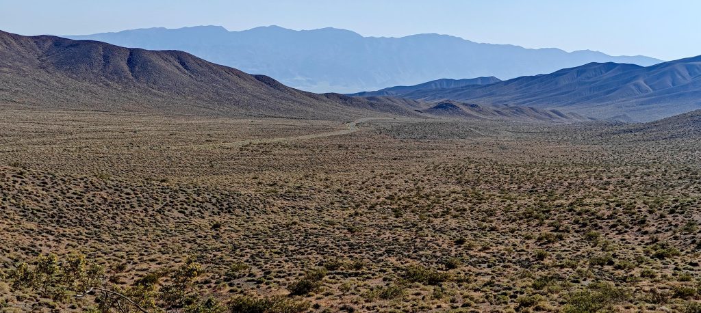
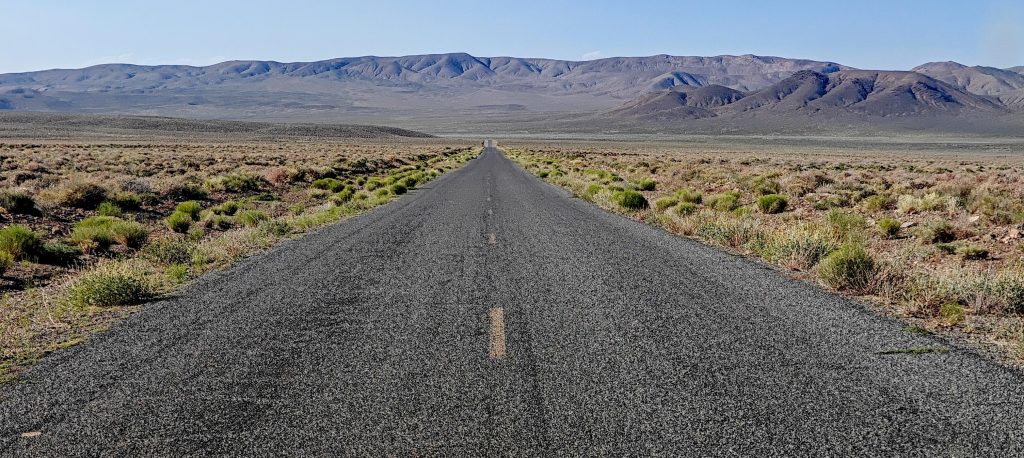
At the entrance to Wildrose Canyon, old signs warn the road is closed. I decided to see for myself. The road looks promising for ten kilometers, then bam – it’s really closed. I retrace 10 kilometers and try another route from the north. The road is good. I pass Towne Pass, turn right at Emigrant Campground, pass Emigrant Pass, pass Wildrose Campground, and skip Thorndike Campground. I drive steep, unpaved tracks to Mahogany Flat Campground at 36.22986, -117.06823 at an altitude of 2486m. It’s 31°C, a relief from the 37°C lower in the valley.

The park entrance is amusingly guarded by donkeys.
The birds didn’t want to give me way, obviously, why would they?
Charcoal kilns stand prominently at the Wildrose trailhead.
The trailhead sign and self-registration office mark the starting point of the hike.

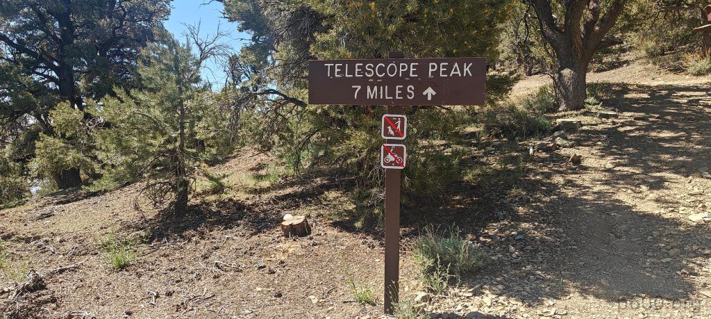
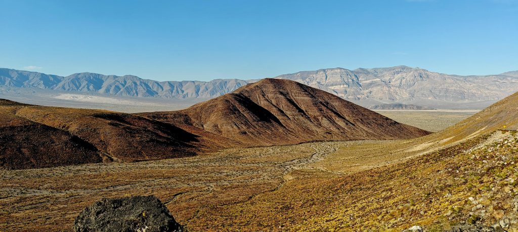
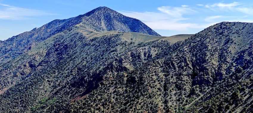
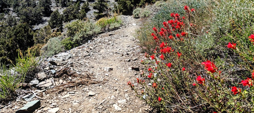
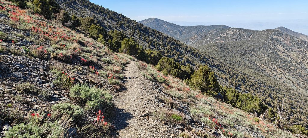
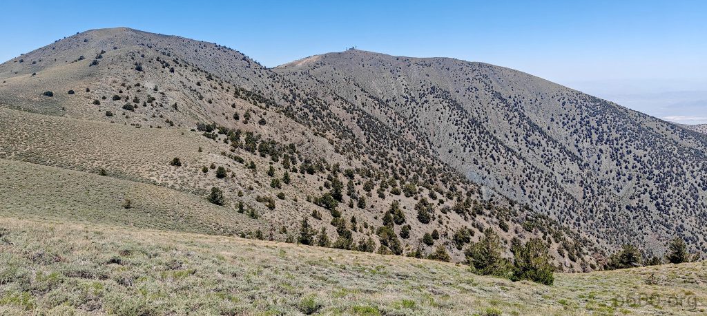
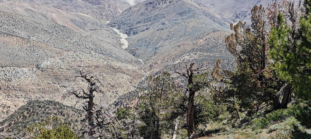
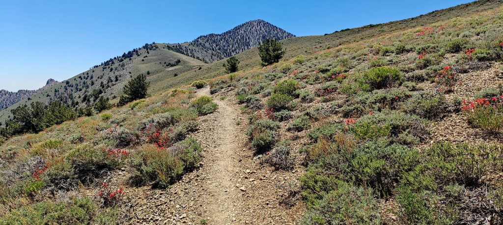
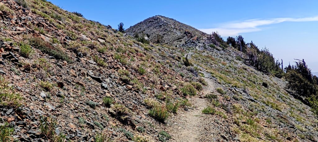
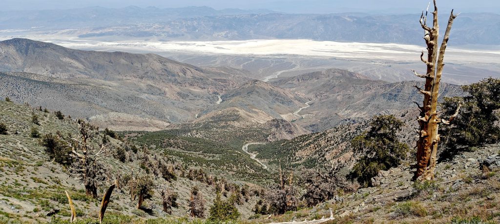
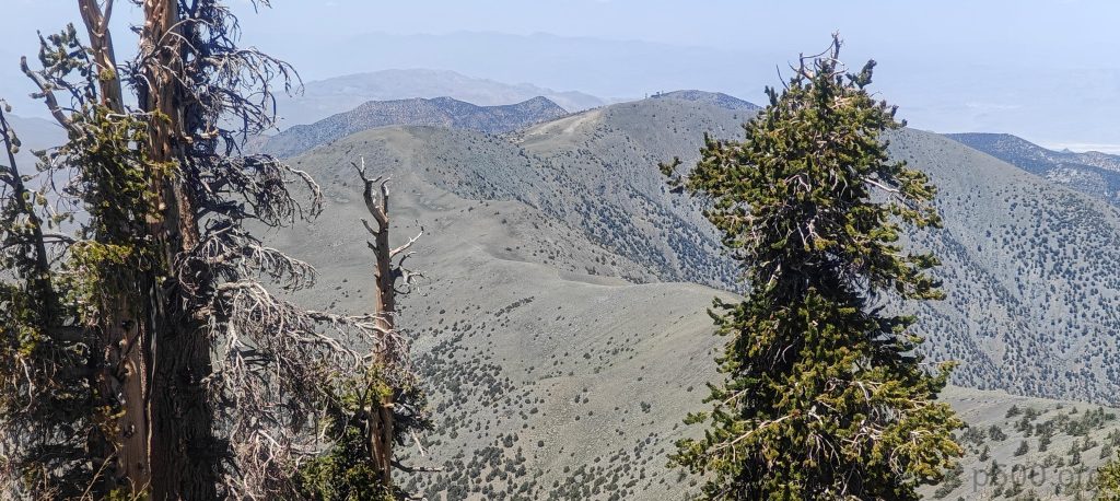
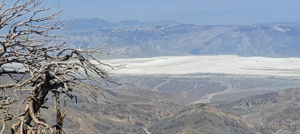
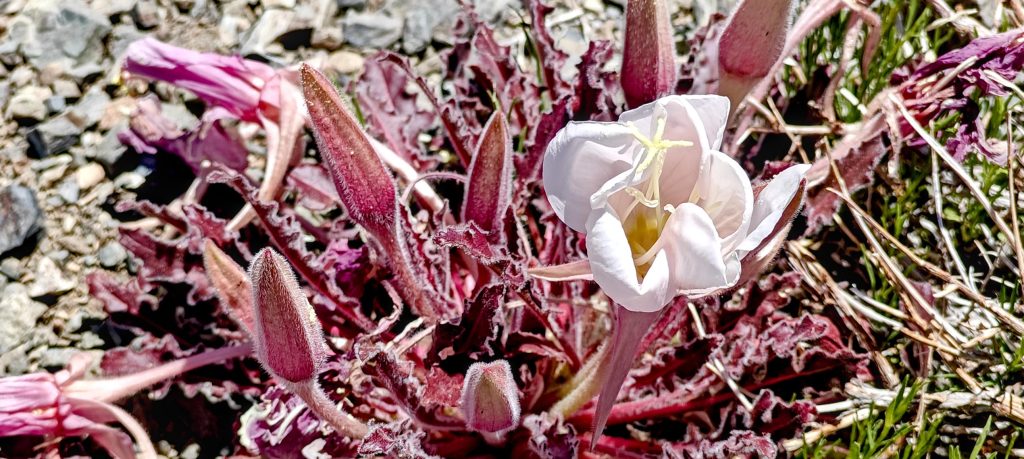
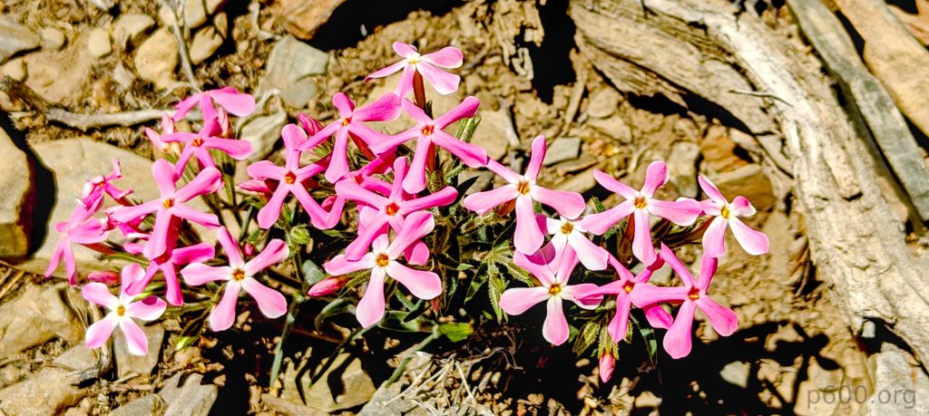
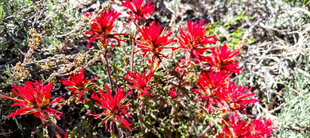
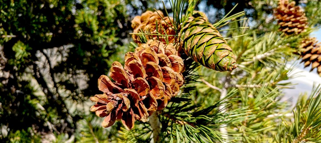
I change and start hiking. Ascending about 500 meters to Arcane Meadows, the trail is easy and gradual, with lots of flowers and occasional shade from the trees. I continue just below the ridge, skipping Rodgers and Bennett Peaks for now. Telescope Peak is the priority. Descending a few dozen meters, then climbing the final 450 meters to the summit, the switchbacks make it manageable.

Death Valley’s lowest point is 86 meters below sea level.
A lot of colorful flowers line the trail.
Telescope Peak is still 4-5 kilometers ahead.
Looking eastward toward Death Valley.
In the background, Rogers Peak with its radar.

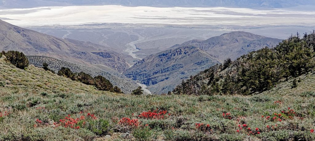
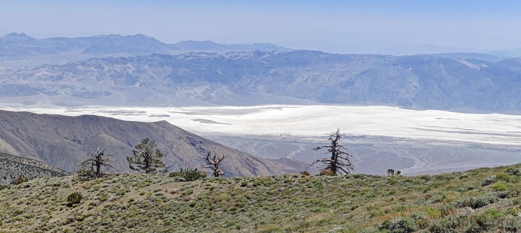
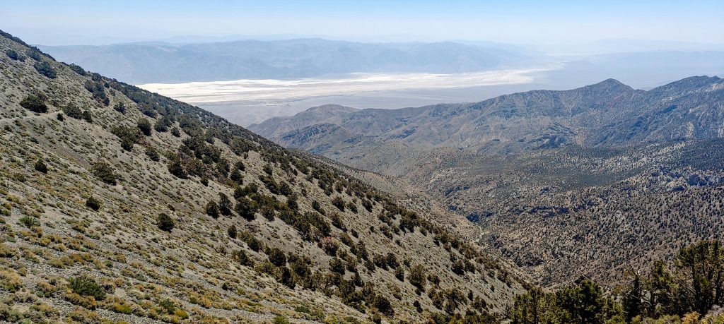
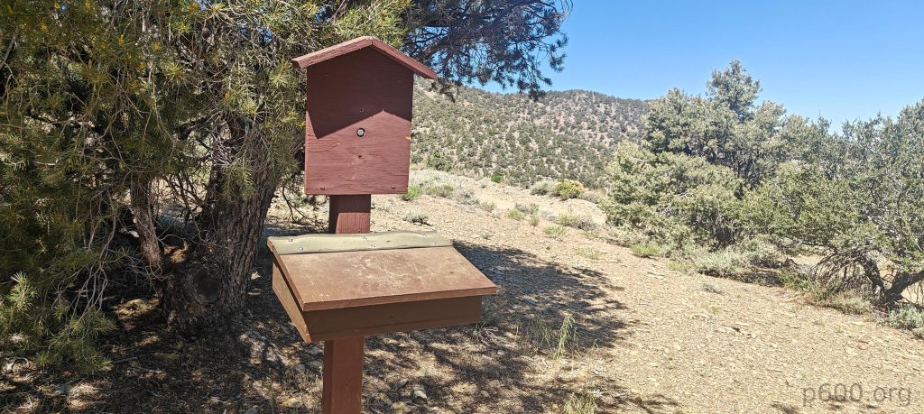
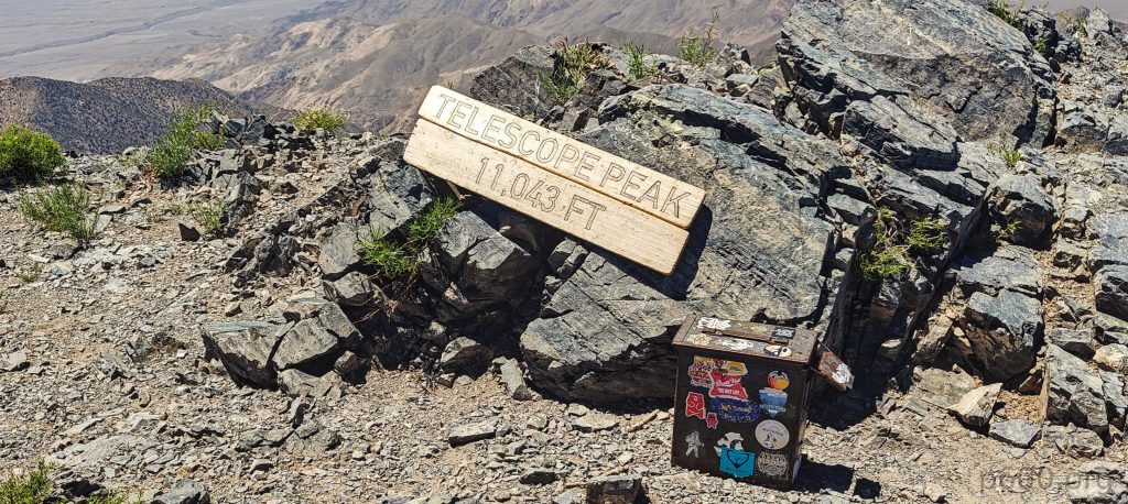
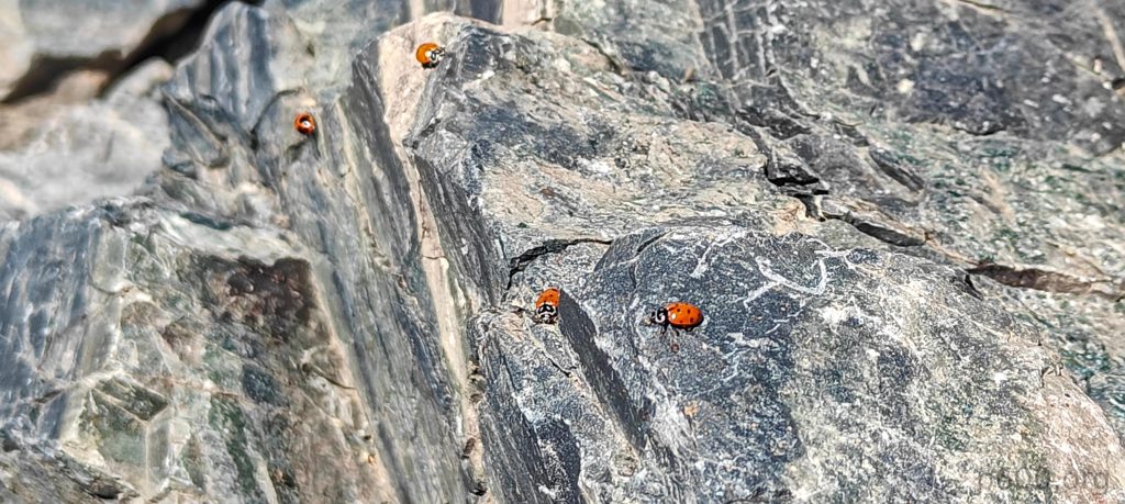
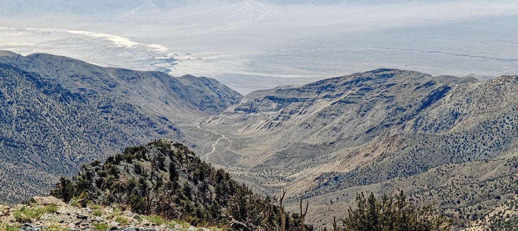
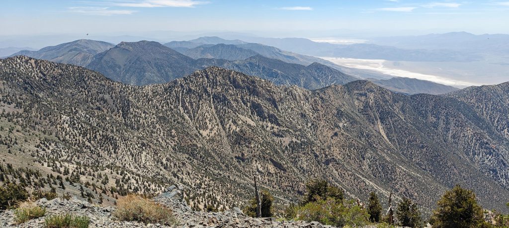
At the summit, there’s a log box and peak marker. The views from Death Valley’s highest point are amazing, but ladybugs swarm me, likely seeking cooler spots. After a few minutes, I escape the insect kingdom and head back down the same trail.

Approaching Telescope Peak.
Last meters to the summit.
A summit marker and ascent log box sit proudly at the peak.
Hundreds of ladybugs swarm the summit, turning it into a real ladybug party.
The summit offers stunning views of Death Valley and the surrounding mountain ranges.
Death Valley holds the world record for the hottest temperature, though it’s controversial. On July 10, 1913, temperatures hit 57°C.

Initially, I planned to detour to Bennett and Rodgers Peaks on the way back, but now I see it’s late afternoon. I still have a drive ahead if I want to hike Lassen Peak tomorrow. Saving an hour counts, so I head straight to the car. Just before the car, I meet the first person today, another hiker from Santa Barbara – not the one from the TV series, though.

Some rock formations near the park exit.

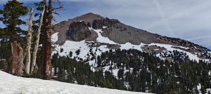
A hot but pleasant day, with my first ultra peak of the trip bagged. A good start – half the work done. Driving north, towards Lassen Peak.

Views from Father Crowley Vista Point.

+-
2 km
1 mi
'CyclOSM | Map data: ©, OpenStreetMap contributors'
Telescope Peak3367 m altitude
1880 m prominence
92.04 km isolation
Ranges Intermountain West- Great Basin Ranges
Countries/regionsUnited States - California
Distance9.90 km up9.90 km down
Elevation875 m gain875 m loss
Time
3h30 up
0h10 other
3h00 down
6h40 total
Trailhead2495 m altitude36.2298600, -117.0682300
RouteStarting from Mahogany Flat Campground, a well-maintained trail leads directly to the summit. The initial section offers shade from scattered trees, which gradually thin as elevation increases. The summit features a marker and log box, but be prepared for ladybugs :). Descend via the same trail.
DifficultiesThe heat and the trailhead approach bit bumpy
LinksGPX trail
  • North America 2024
  • « Frankfurt to Los Angeles
  • Lassen Peak »

Mountain Ranges

Anatolia
Central Anatolia
Pontic Mountains
Southeast Anatolia
Taurus Mountains
Western Anatolia
Andes
Puna de Atacama
Atlas Mountains
High Atlas
Northwestern Atlas
Central America Ranges
Costa Rica-Panama Ranges
Central Central America
East China
Taiwan
Eastern Europe Ranges
Southeast Baltic Plains
Iberian Peninsula
Cordillera Cantabrica
Castile Ranges
Portugal-Galicia
Pyrenees
Intermountain West
Great Basin Ranges
Korea-Amur Area
Taebaek Sanmae
Malay Archipelago
Java
Nusa Tengarra
Sulawesi
Sumatra
Mid-Atlantic Islands
North Atlantic Islands
Mongolia Ranges
Altai
Gobi Desert Ranges
Hangay Mountains
Northwest Europe
Great Britain
North France-West Rhine Area
Pacific Ranges
Cascade Range
Northwest U.S. Coast Ranges
Sierra Nevada
Central and Southern California Ranges
Philippines
Central Philippines
Luzon
Mindanao
Southeast Asia
Malay Peninsula
Southeast South America
Pampas
Sierras de Cordoba
Southern Africa
Malawi Highlands
West Africa Mountains
Bight of Benin
Cameroon Mountains
Guinea Highlands

Countries / regions

Algeria
Ain Guezzam
Ain Salah
Aïn Témouchent
El Bayadh
Ghardaïa
Oran
Ouargla
Saïda
Sidi Bel Abbès
Tamanrasset
Argentina
Catamarca
Ciudad Autónoma de Buenos Aires
Córdoba
Jujuy
Salta
Tucumán
Belgium
Brussels Capital Region
Flemish Region
Cameroon
Southwest
China
Taiwan
Costa Rica
Alajuela
Cartago
Guanacaste
Heredia
Limón
San José
Czechia
Prague
Denmark
Greenland
France
Hauts-de-France
Occitania
Germany
Berlin
Niedersachsen
Indonesia
Bali
Jambi
Jawa Tengah
Jawa Timur
Nusa Tenggara Barat
Sulawesi Tengah
Sulawesi Utara
Sumatera Barat
Lithuania
Vilnius County
Mongolia
Bayankhongor
Govi-Altai
Khovd
Omnogovi
Ovorkhangai
Ulan Bator
Zavkhan
Morocco
Béni Mellal-Khénifra
Drâa-Tafilalet
Fez-Meknes
Marrakesh-Safi
Souss-Massa
Tangier-Tetouan-Al Hoceima
Mozambique
Zambezia
Netherlands
Gelderland
Noord-Holland
Zeeland
Nicaragua
Chinandega
Managua
Masaya
Rivas
Philippines
Bicol Region (V)
Cagayan Valley (II)
Calabarzon (IV-A)
Central Luzon (III)
Cordillera Administrative Region
Davao Region
Metro Manila
Soccsksargen (XII)
Western Visayas (VI)
Poland
Greater Poland Voivodeship
Masovian Voivodeship
Portugal
Castelo Branco
Leiria
Lisbon
Madeira
Santarém
Qatar
Ad-Dawhah
São Tomé and Príncipe
São Tomé Province
Sierra Leone
Northern Province
Western Area
Singapore
South Korea
Gyeongsangnam-do
Seoul
Spain
Aragón
Asturias
Castilla-La Mancha
Castilla y León
Catalonia
Islas Canarias
Switzerland
Zürich
Turkey
Antalya
Bitlis
Erzincan
Hakkâri
Igdir
Isparta
Kahraman Maras
Muğla
United Kingdom
England
Scotland
United States
California
Delaware
Florida
Maryland
Nevada
New Jersey
New York
Pennsylvania
South Carolina
Utah

TRIPS

2024
Southern Africa 2024
Mid-Atlantic Islands 2024
North America 2024
Anatolia 2024
Korea-Amur Area 2024
East China 2024
2023
Mongolia Ranges 2023
Philippines 2023
West Africa III 2023
West Africa II 2023
Iberian Peninsula 2023
West Africa 2023
Central America 2023
2022
Andes 2022
Northwest Europe 2022
Malay Archipelago III 2022
Malay Archipelago II 2022
Anatolia Mountains 2022
Iberian Peninsula 2022
Atlas Mountains 2022
North France-West Rhine Area 2022

archaeology (3) climb (157) food (2) hike (155) p30 (17) p50 (4) p100 (24) p300 (12) p600 (17) p1000 (11) p1500 (76) ribu (10) sight (46) summary (16) trig (44) ultra (76)

1 591 km walked, 121 298 m climbed

©2025 p600.org | WordPress Theme by Superbthemes.com
Menu
p600.org
  • home
  • map
  • trips
  • about