Skip to content
Menu
p600.org
  • home
  • map
  • trips
  • about
p600.org

Mount San Antonio

hike | 2024-06-24

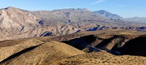
I intentionally kept this peak as a backup for the trip since it’s relatively close to the airport. If I run out of time, I can save it for next time—it’s not going anywhere. I woke up early, a bit south of Bishop, and drove towards the Mount San Antonio trailhead. It was a bit of a drive but manageable. Around noon, I parked the car in the shade of a big pine and started the hike.

The welcoming gates, while claiming to be inviting, could halt a tank, making hikers detour around them.
The trailhead offers clear and useful information, ensuring you won’t get lost – hopefully.
The entire hike remains in the same valley.
Many people stick to hiking the paved road just up to the waterfall.

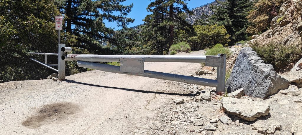
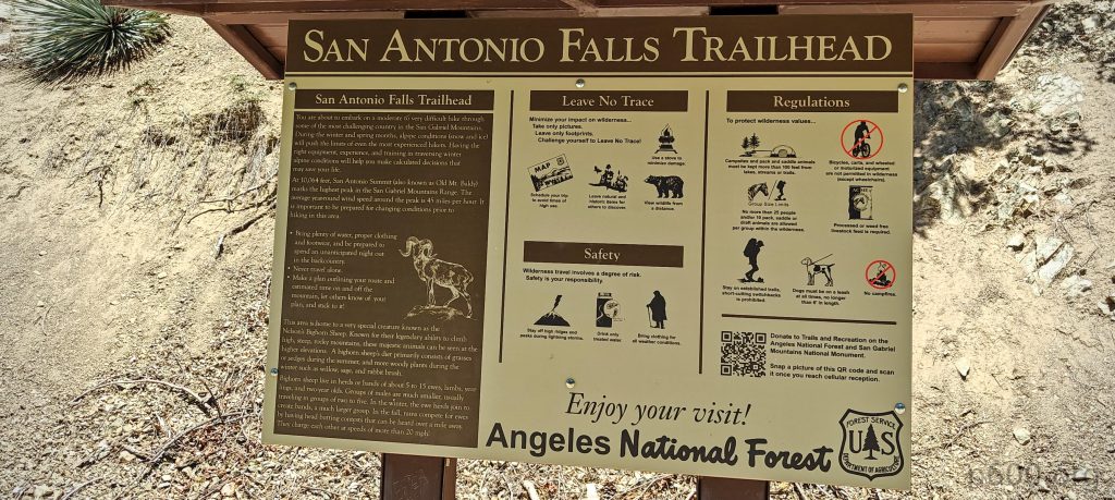
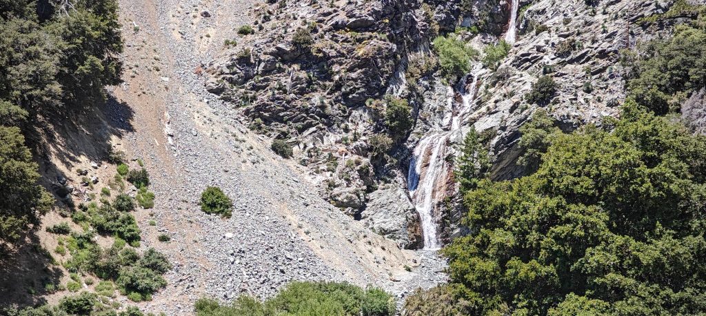
The first part of the trail is a paved road, blocked by massive gates, ending at a waterfall where many people finish their journey. I continued a few hundred meters on the unpaved road and then snuck into the forest trail at the ridge bump.

The trail is gradual and wide all the way to the summit, making it nearly impossible to complain.
Dasylirion wheeleri, also known as desert spoon or sotol, is a flowering plant in the asparagus family.

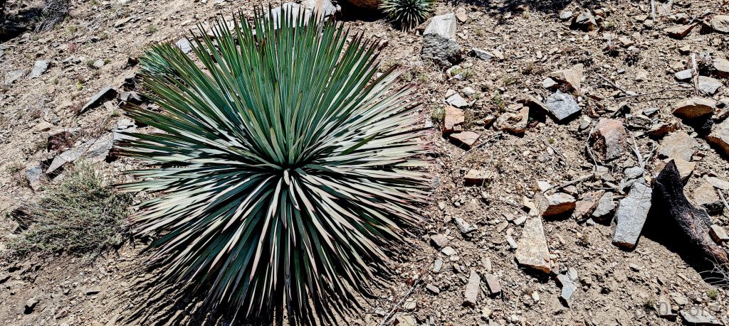
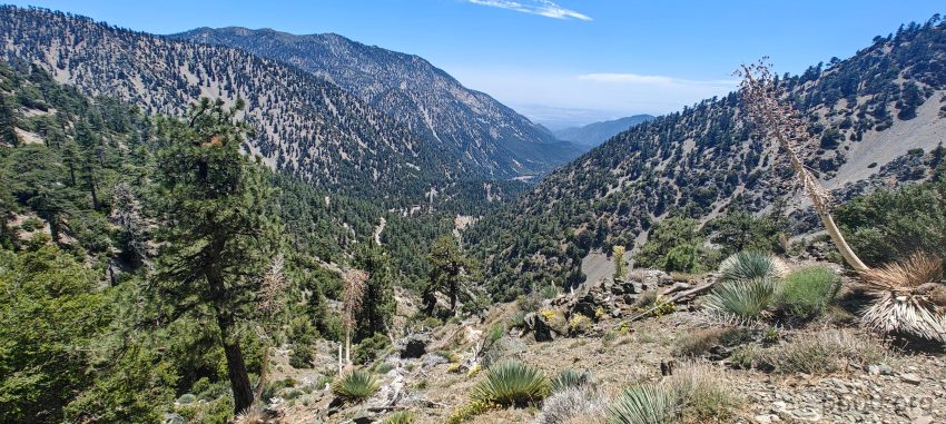
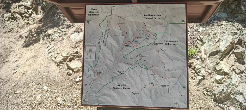
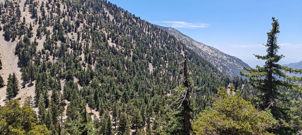
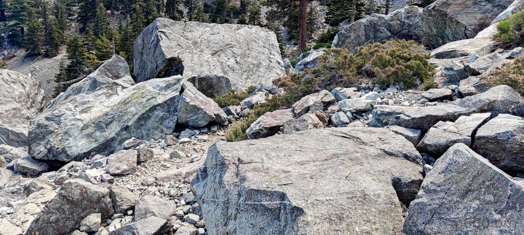
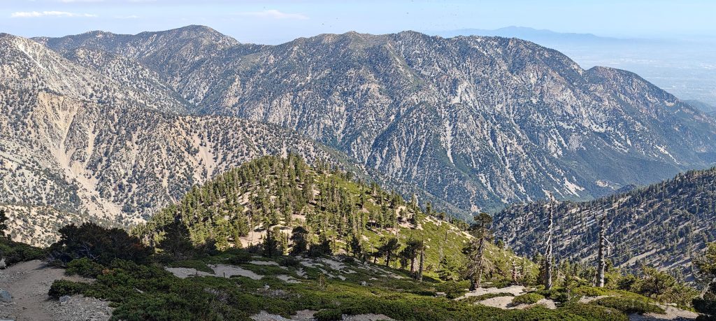
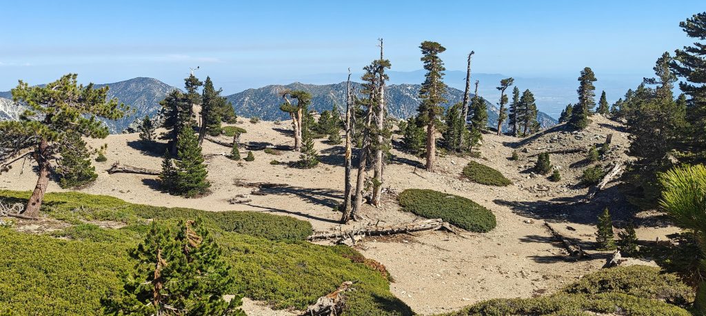
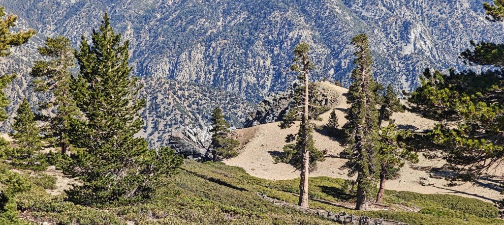
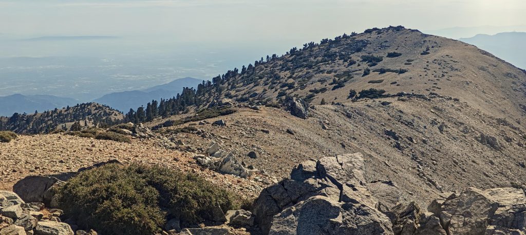
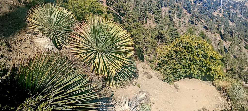
The next few kilometers were a pleasant hike on a gradual trail shaded by the forest. I quickly reached the San Antonio Ski Hut, took a short break, and continued. Traversing to the valley’s other side, I climbed a steeper slope, which then flattened out. At the end of this flattening, a maze of trails emerged, with dozens of possibilities and hundreds of combinations.

At the end of the valley, traverse left, climb the slope, then turn right to reach the summit.
There are a lot of chipmunks around.
Western fence lizard (?)
At the end of the valley, there are boulders the size of houses.

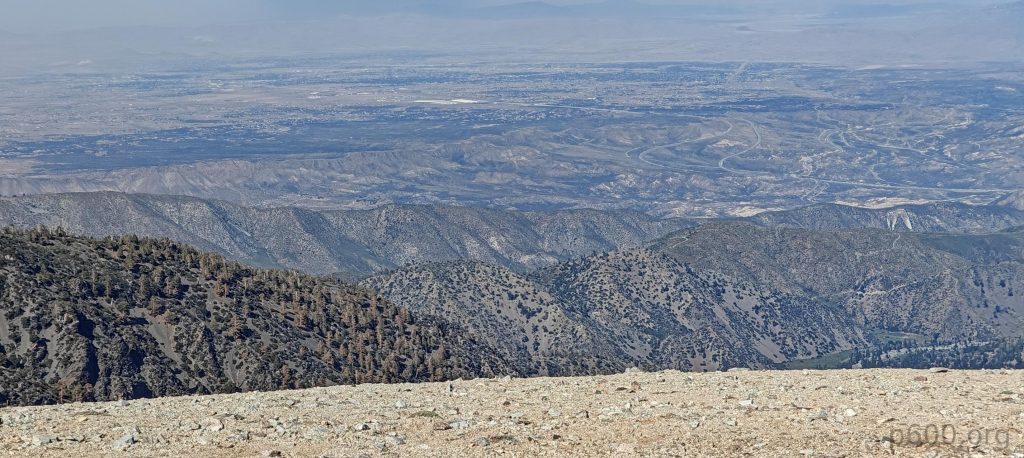
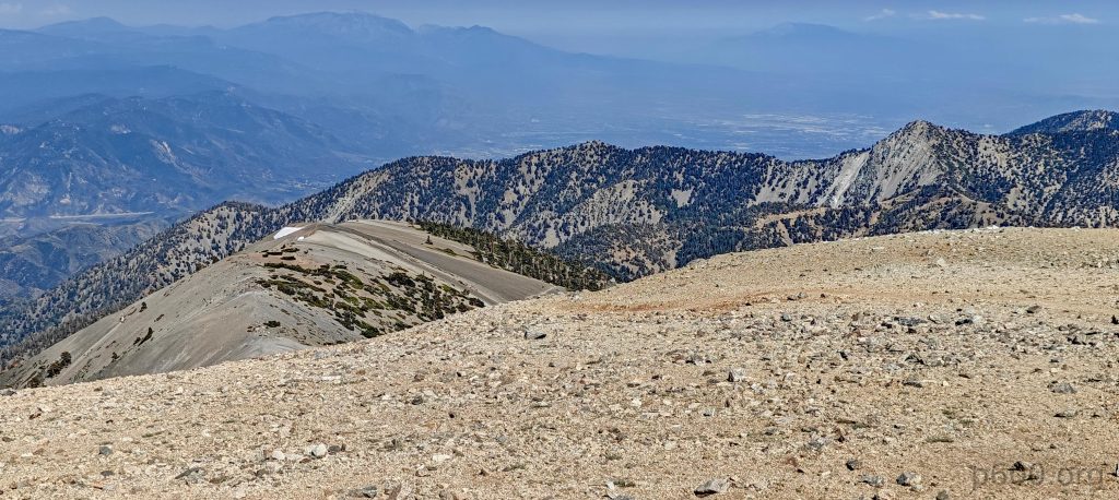
The last stretch to the summit is a gradual walk on the trail, where I met an interesitng couple, David from Scotland and Kamilia from Lithuania. They were hiking on their holidays after a friend’s wedding. Surprisingly, I encountered very few people on this hike—just this couple, actually. It’s strange, considering the trail’s proximity to mega LA. Perhaps the late start kept the crowds away.

The views close to the summit.
The summit features a metal plaque marker.

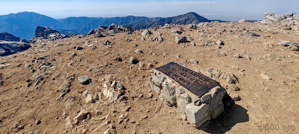
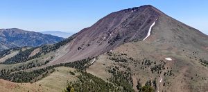
The summit is marked with a plaque and features a few stone wind shelters. The west summit looks lower, so I skipped it this time. After a short break and a traditional apple, I headed down the same path. I caught up with the couple, and we had an interesting discussion for a big part of the way down.

The west ridge features a slightly lower bump.
The views from the summit are expansive.
A few huge Dasylirion wheeleri along the trail make it look quite nice.

This peak marks the end of my trip. I must say, it was a successful journey. In 14 days, I hiked 10 ultra-prominent peaks plus 3 ribus. I’m very happy and looking forward to my next adventure in Turkey in a few weeks. Now, I’m driving to a hotel closer to the airport, preparing for tomorrow’s journey back to my sweet home.


Mount San Antonio3069 m altitude
1899 m prominence
68.43 km isolation
RangesPacific Ranges - Central and Southern California Ranges
Countries/regionsUnited States - California
Distance6.50 km up6.50 km down
Elevation1145 m gain1145 m loss
Time
2h10 up
0h05 other
1h35 down
3h50 total
Trailhead1923 m altitude34.2659410, -117.6271800
RouteI park and begin the well-maintained trail to the Ski Hut, which becomes steeper but remains manageable. Then, after a steeper slope and some flattening, I navigate through a few maze-like sections to reach the summit with windshields and a large plaque. I retrace my steps down the same route. It's a hot but pleasant hike.
LinksGPX trail
  • North America 2024
  • « Arc Dome

Mountain Ranges

Anatolia
Central Anatolia
Pontic Mountains
Southeast Anatolia
Taurus Mountains
Western Anatolia
Andes
Puna de Atacama
Atlas Mountains
High Atlas
Northwestern Atlas
Central America Ranges
Costa Rica-Panama Ranges
Central Central America
East China
Taiwan
Eastern Europe Ranges
Southeast Baltic Plains
Iberian Peninsula
Cordillera Cantabrica
Castile Ranges
Portugal-Galicia
Pyrenees
Intermountain West
Great Basin Ranges
Korea-Amur Area
Taebaek Sanmae
Malay Archipelago
Java
Nusa Tengarra
Sulawesi
Sumatra
Mid-Atlantic Islands
North Atlantic Islands
Mongolia Ranges
Altai
Gobi Desert Ranges
Hangay Mountains
Northwest Europe
Great Britain
North France-West Rhine Area
Pacific Ranges
Cascade Range
Northwest U.S. Coast Ranges
Sierra Nevada
Central and Southern California Ranges
Philippines
Central Philippines
Luzon
Mindanao
Southeast Asia
Malay Peninsula
Southeast South America
Pampas
Sierras de Cordoba
Southern Africa
Malawi Highlands
West Africa Mountains
Bight of Benin
Cameroon Mountains
Guinea Highlands

Countries / regions

Algeria
Ain Guezzam
Ain Salah
Aïn Témouchent
El Bayadh
Ghardaïa
Oran
Ouargla
Saïda
Sidi Bel Abbès
Tamanrasset
Argentina
Catamarca
Ciudad Autónoma de Buenos Aires
Córdoba
Jujuy
Salta
Tucumán
Belgium
Brussels Capital Region
Flemish Region
Cameroon
Southwest
China
Taiwan
Costa Rica
Alajuela
Cartago
Guanacaste
Heredia
Limón
San José
Czechia
Prague
Denmark
Greenland
France
Hauts-de-France
Occitania
Germany
Berlin
Niedersachsen
Indonesia
Bali
Jambi
Jawa Tengah
Jawa Timur
Nusa Tenggara Barat
Sulawesi Tengah
Sulawesi Utara
Sumatera Barat
Lithuania
Vilnius County
Mongolia
Bayankhongor
Govi-Altai
Khovd
Omnogovi
Ovorkhangai
Ulan Bator
Zavkhan
Morocco
Béni Mellal-Khénifra
Drâa-Tafilalet
Fez-Meknes
Marrakesh-Safi
Souss-Massa
Tangier-Tetouan-Al Hoceima
Mozambique
Zambezia
Netherlands
Gelderland
Noord-Holland
Zeeland
Nicaragua
Chinandega
Managua
Masaya
Rivas
Philippines
Bicol Region (V)
Cagayan Valley (II)
Calabarzon (IV-A)
Central Luzon (III)
Cordillera Administrative Region
Davao Region
Metro Manila
Soccsksargen (XII)
Western Visayas (VI)
Poland
Greater Poland Voivodeship
Masovian Voivodeship
Portugal
Castelo Branco
Leiria
Lisbon
Madeira
Santarém
Qatar
Ad-Dawhah
São Tomé and Príncipe
São Tomé Province
Sierra Leone
Northern Province
Western Area
Singapore
South Korea
Gyeongsangnam-do
Seoul
Spain
Aragón
Asturias
Castilla-La Mancha
Castilla y León
Catalonia
Islas Canarias
Switzerland
Zürich
Turkey
Antalya
Bitlis
Erzincan
Hakkâri
Igdir
Isparta
Kahraman Maras
Muğla
United Kingdom
England
Scotland
United States
California
Delaware
Florida
Maryland
Nevada
New Jersey
New York
Pennsylvania
South Carolina
Utah

TRIPS

2024
Southern Africa 2024
Mid-Atlantic Islands 2024
North America 2024
Anatolia 2024
Korea-Amur Area 2024
East China 2024
2023
Mongolia Ranges 2023
Philippines 2023
West Africa III 2023
West Africa II 2023
Iberian Peninsula 2023
West Africa 2023
Central America 2023
2022
Andes 2022
Northwest Europe 2022
Malay Archipelago III 2022
Malay Archipelago II 2022
Anatolia Mountains 2022
Iberian Peninsula 2022
Atlas Mountains 2022
North France-West Rhine Area 2022

archaeology (3) climb (157) food (2) hike (155) p30 (17) p50 (4) p100 (24) p300 (12) p600 (17) p1000 (11) p1500 (76) ribu (10) sight (46) summary (16) trig (44) ultra (76)

1 591 km walked, 121 298 m climbed

©2025 p600.org | WordPress Theme by Superbthemes.com