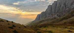
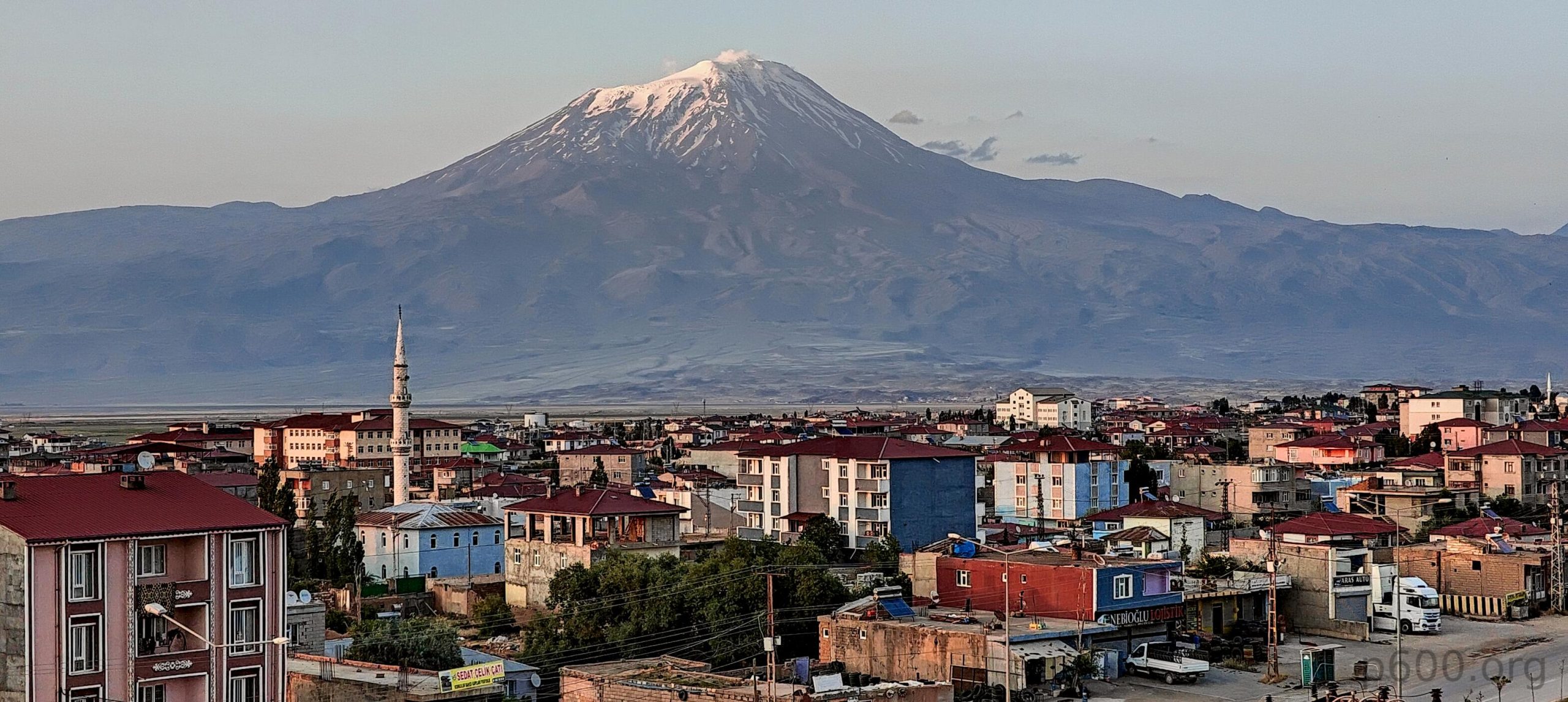
If you’re on this page, you probably know about Mount Ararat. If not, don’t worry; it won’t stay a secret for long.. Mount Ararat, also known as Masis, Çiyayê Agirî, and Ağrı Dağı, is a snow-capped, dormant compound volcano. This mountain is quite the celebrity due to its impressive altitude, striking prominence, easy accessibility, and picture-perfect triangular shape. Oh, and some folks believe Noah’s Ark parked on these slopes.
After thousands of years of hype, Mount Ararat has become a hotspot for adventure seekers. Dozens of companies organize hikes to its peak, and during the season, hundreds of people trudge up and down its volcanic slopes daily. Everyone has their own reason for making the climb. My reason? The mountain’s 3,000+ meters of prominence, 5,100+ meters of altitude, 300+ kilometers of isolation, and, most likely, the fact that it was one of the first big mountains I saw as a teenager. During a youth exchange program, I visited Yerevan, where Mount Ararat dominates the horizon from every part of the city. On a sunny day, you can’t miss it.
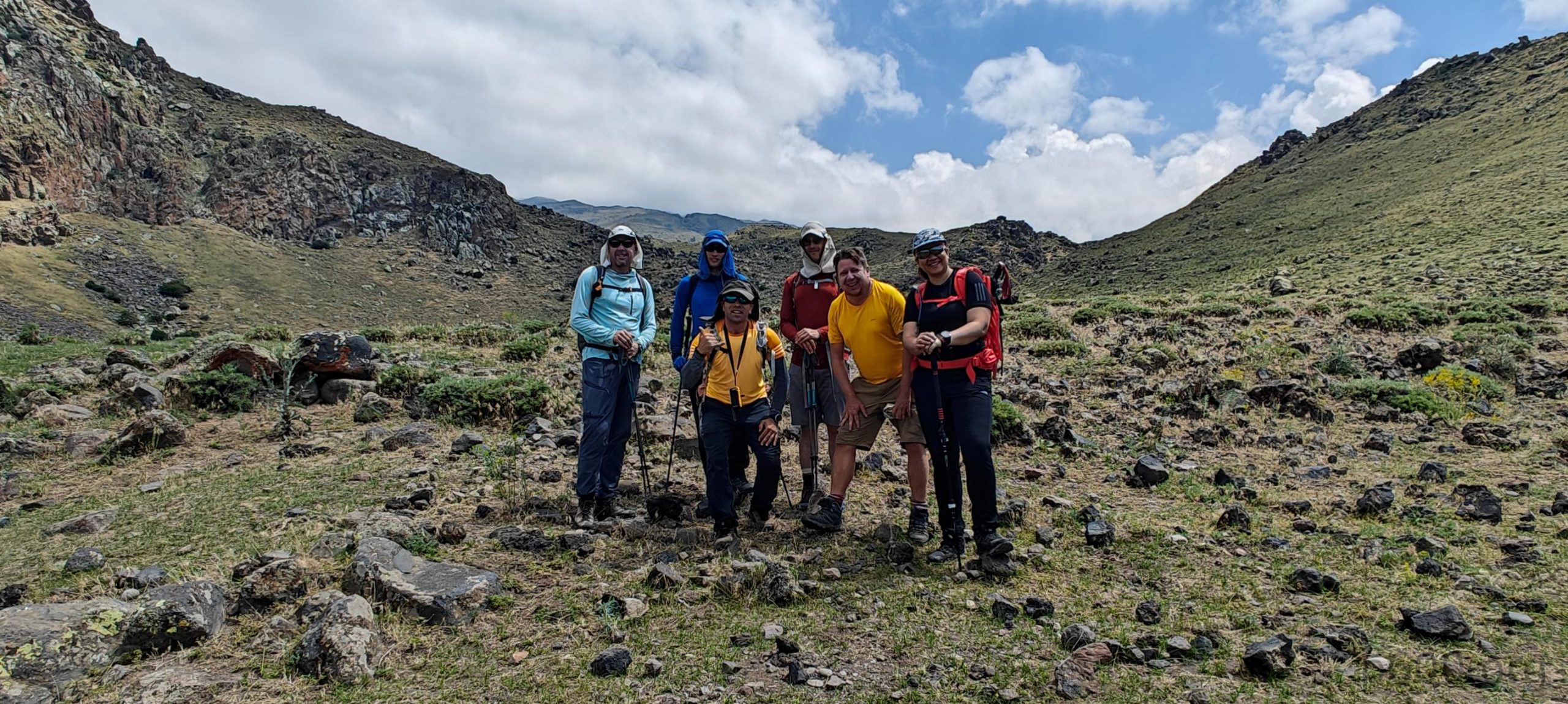
After a lazy late morning at the Doğubayazıt hotel, we restocked on a few small items and took a short drive to the trailhead. We quickly changed, watched as our duffel bags were loaded onto the horses, and began our climb. The process was surprisingly efficient and well-organized. At a high level, our itinerary looked like this:
- Day 1: From the trailhead at 2,200 meters to Lower Camp 1 at 3,200 meters.
- Day 2: From Lower Camp 1 at 3,200 meters to Higher Camp 2 at 4,100 meters.
- Day 3: Summit at 5,137 meters, descend to Camp 2, then Camp 1, and finally return to the trailhead before heading back to the Doğubayazıt hotel.
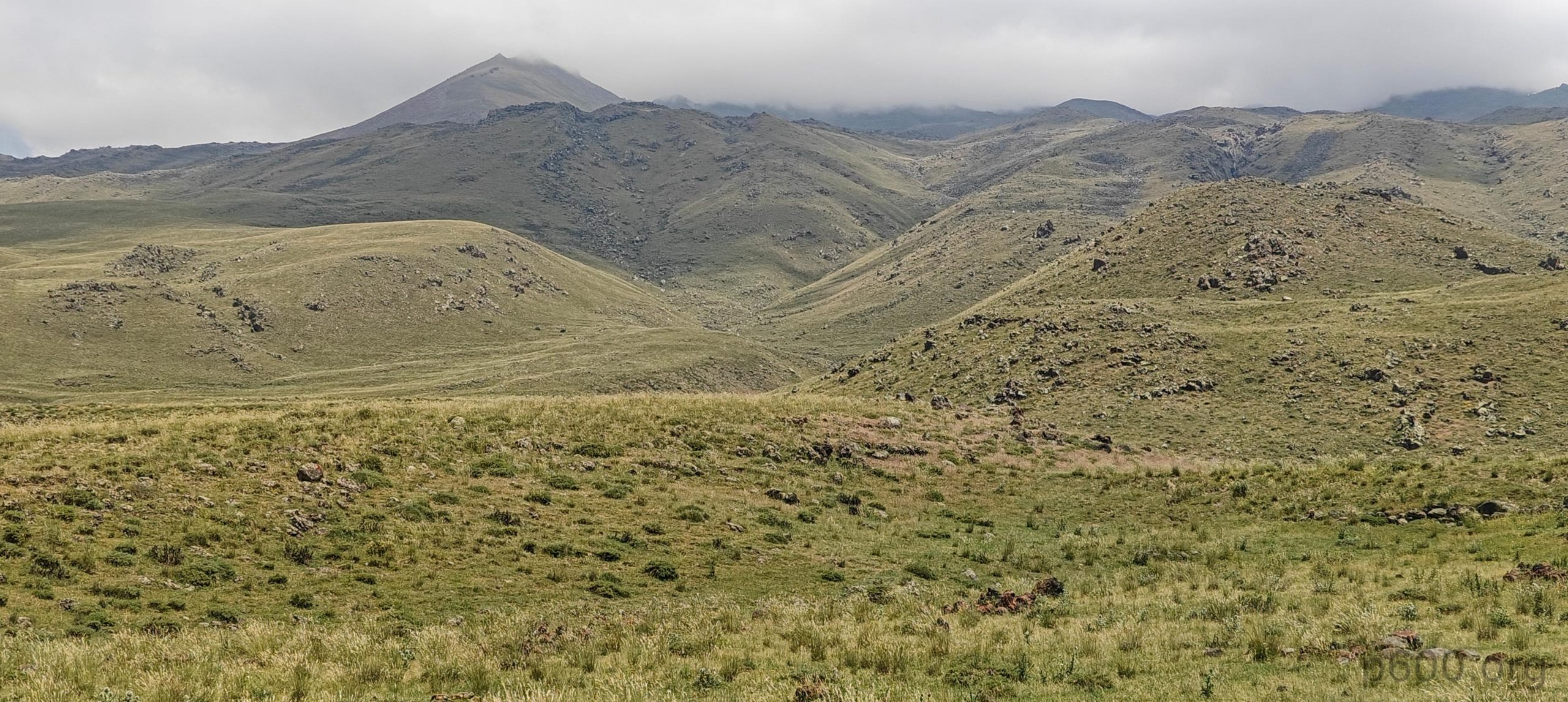
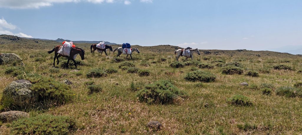
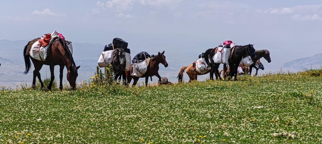
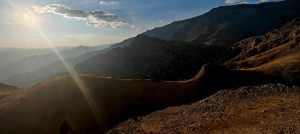
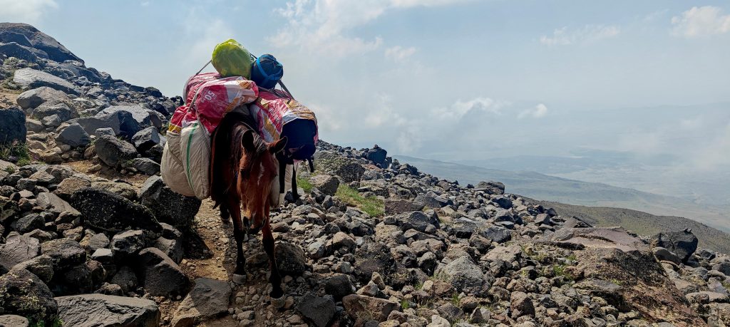
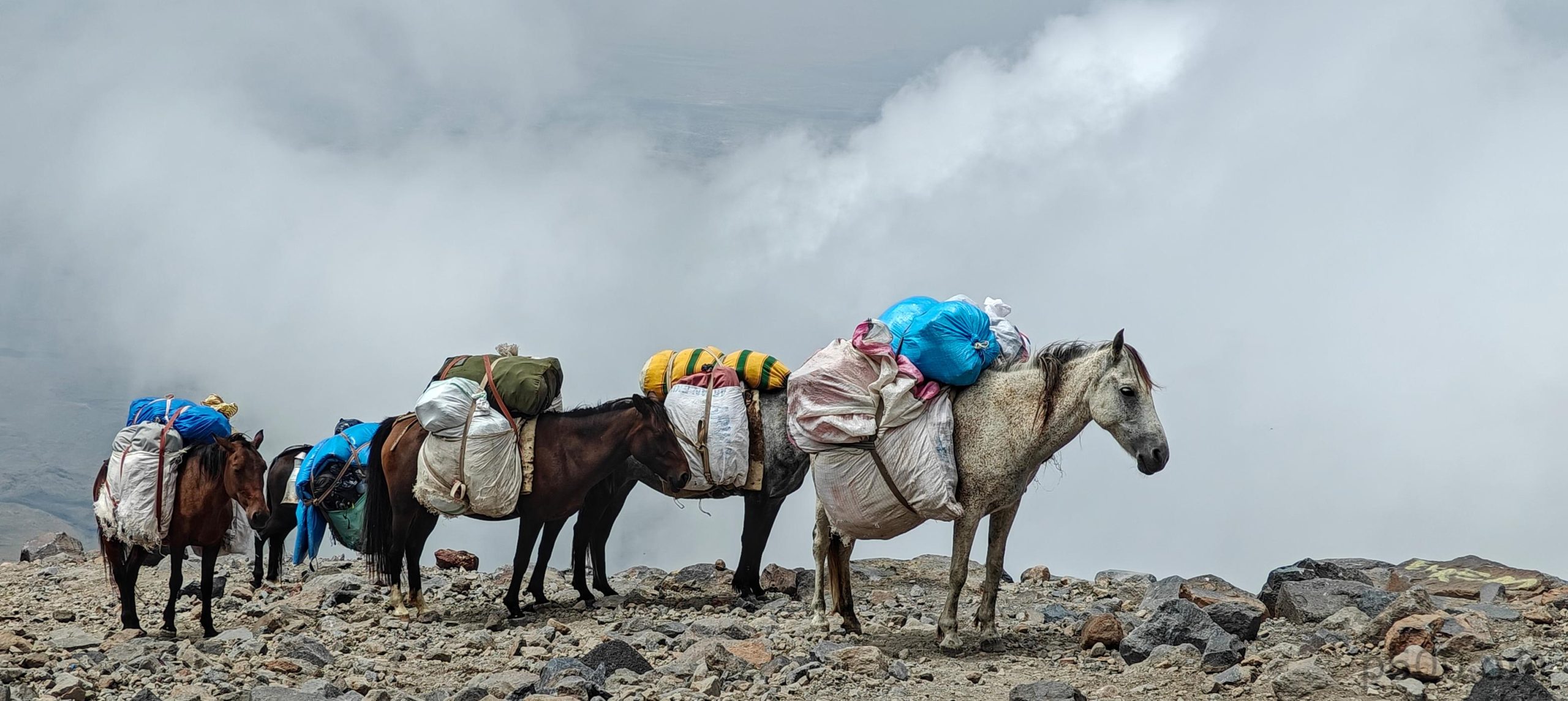
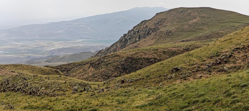
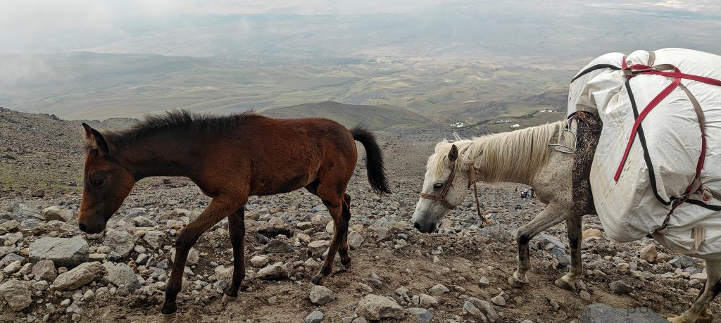
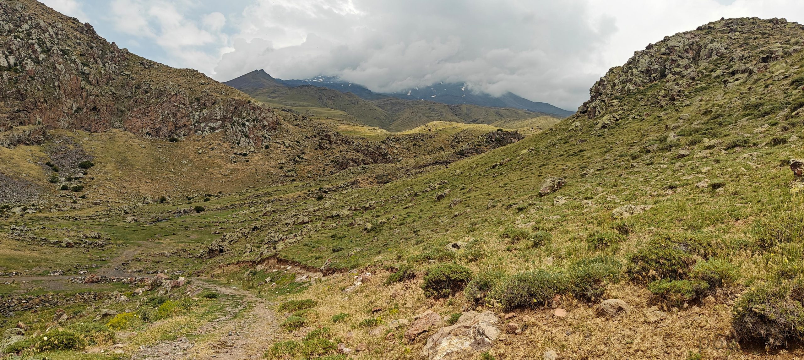
The first part of the hike takes us up gentle grassy slopes, where we follow plenty of shepherd trails, though they aren’t really necessary. A few groups of horses overtake us, all carrying huge loads. I also left a few kilograms for the animals; the heaviest cargo was two bottles of soda, along with a sleeping bag, crampons, a power bank, a pack of nuts, and a warm layer. I think that’s all. I continued with just a daypack.
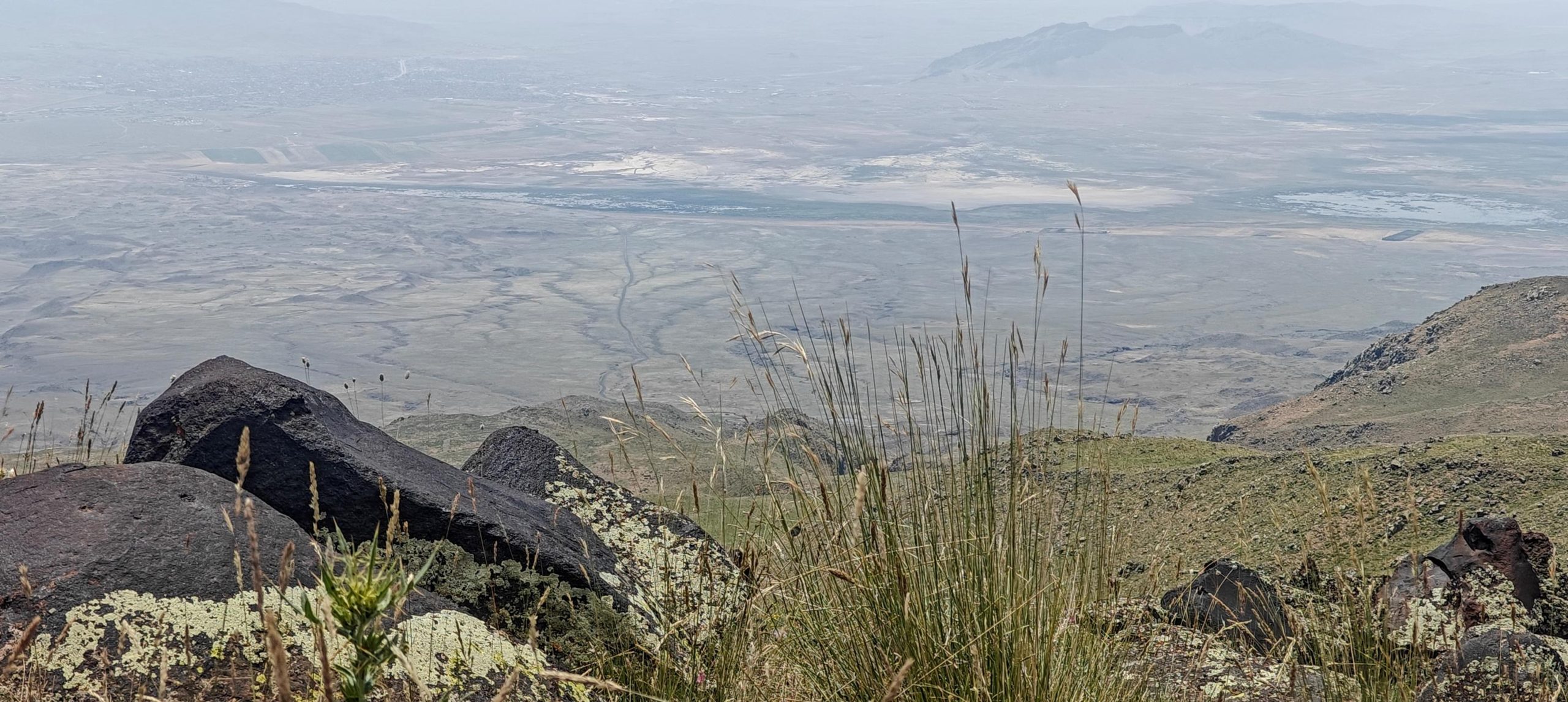
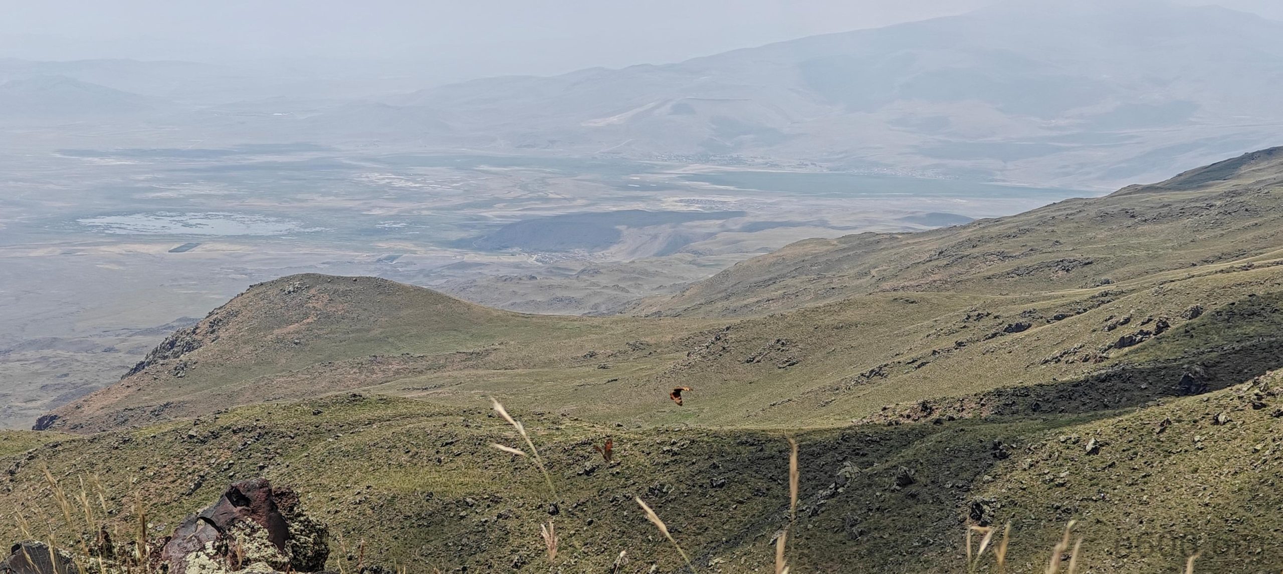
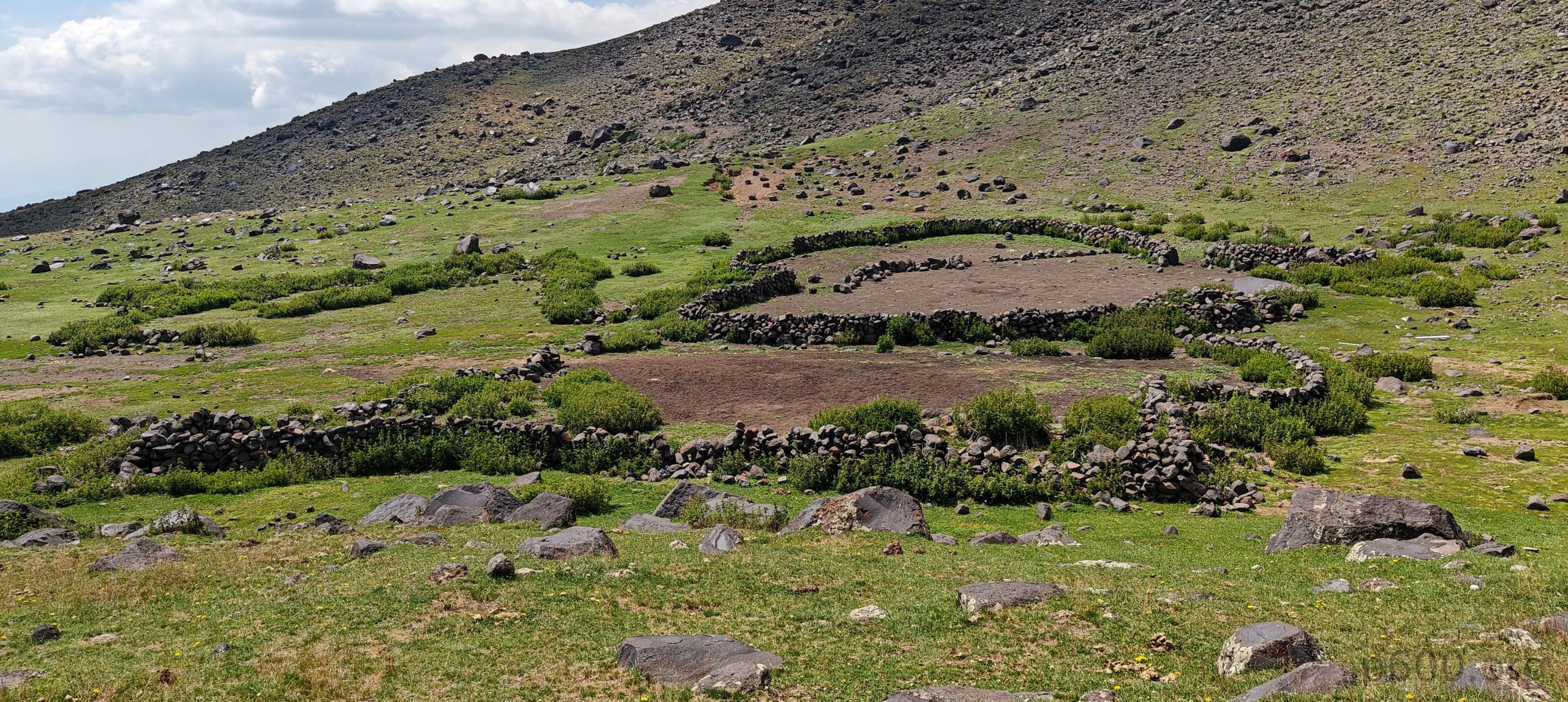
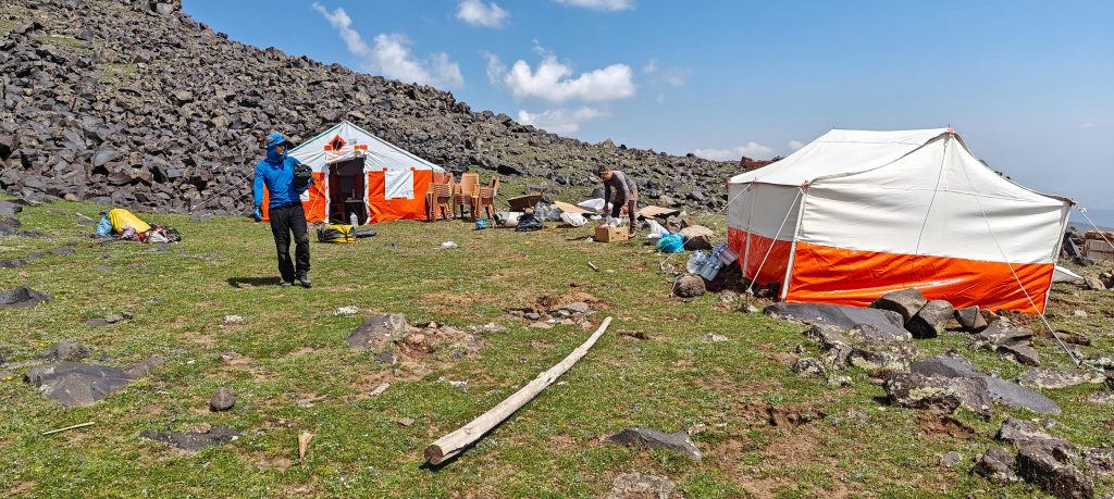
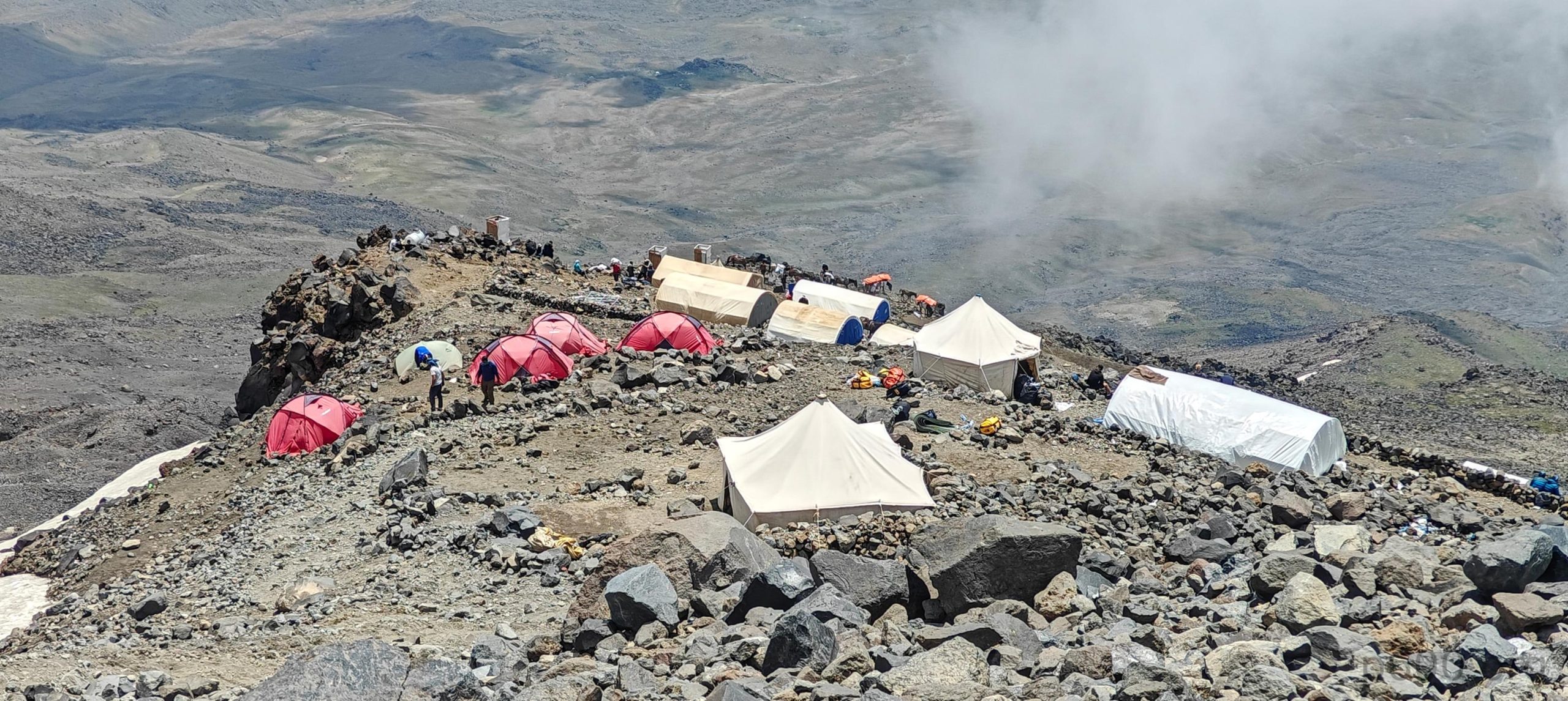
After a few hours of easy walking, we arrived at the lower Camp 1. It’s brand new and not fully finished, but it looks very nice and is situated a bit away from the rest of the crowd. The camp is a peaceful, slightly flat grassy field with a kitchen tent, dining tent, water sink, and basic restroom. Everyone was there except Adam, who went ahead in the morning and apparently took a different trail. We kept in touch with him, and he was somewhere near the other camps. After a few hours, he finally caught up with us. It was a very relaxed day with no rush at all. After a good nap and a great dinner, we went back to sleep.
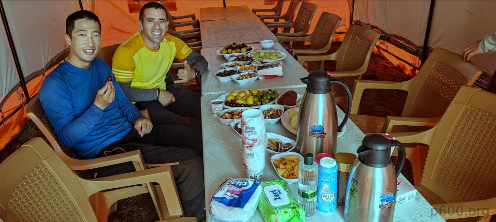


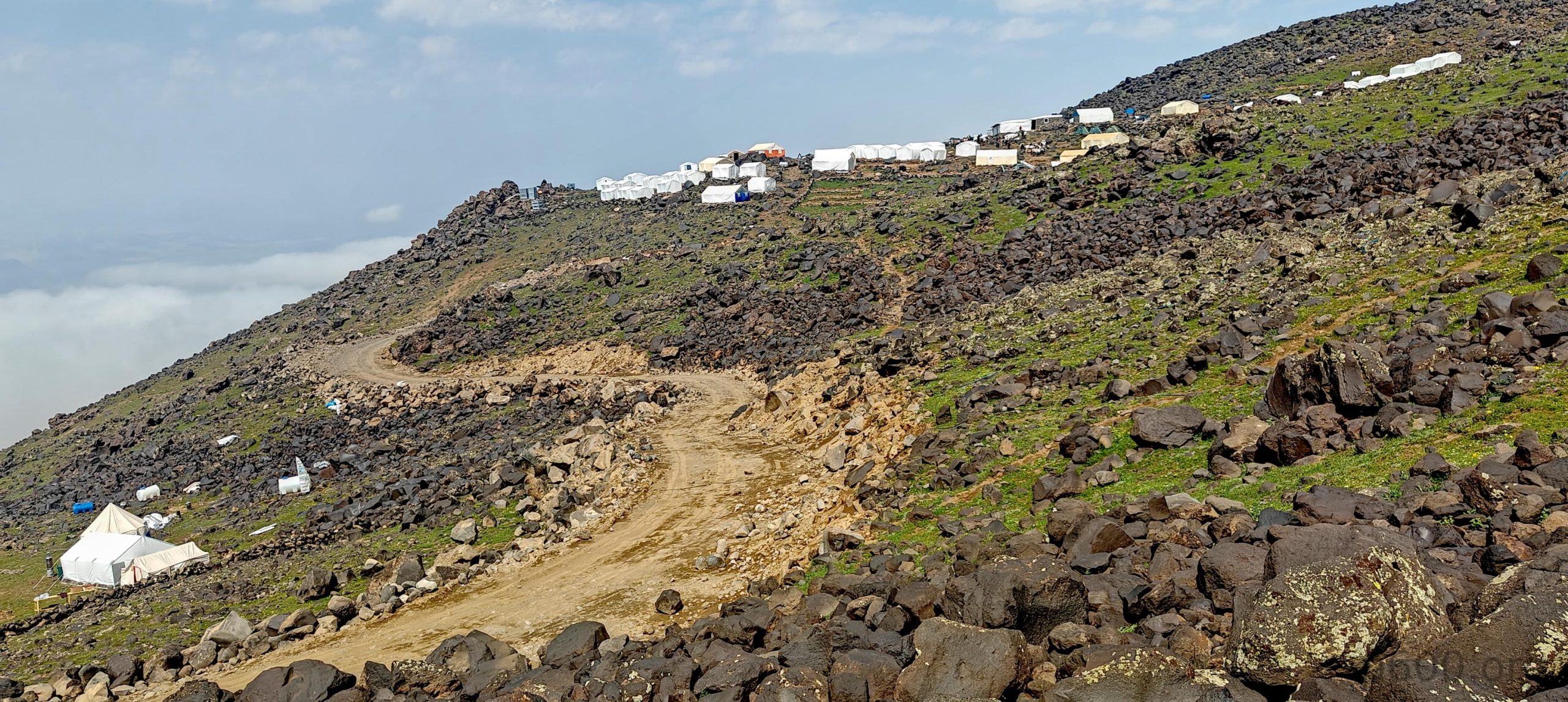
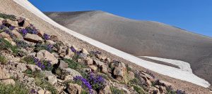
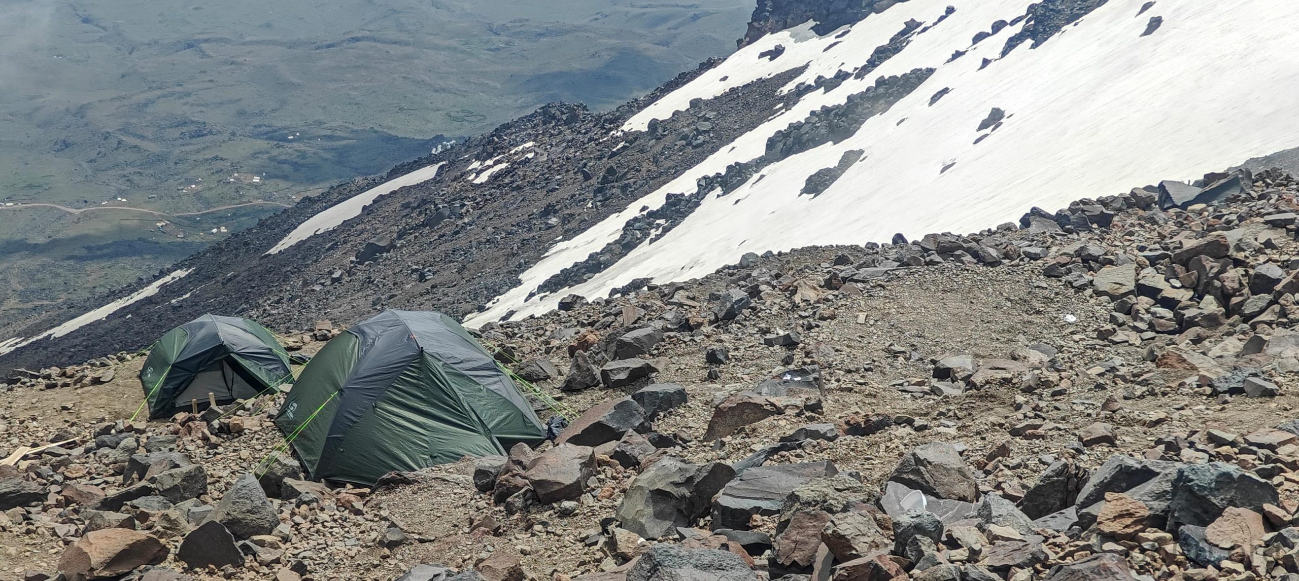
The next day, we woke up late—again, no rush. Typically, teams do an acclimatization hike here, but we had purposely tackled a few higher peaks before Mount Ararat, spending almost a week going up and down between 3,000 and 4,000 meters. So, our plan from the beginning was to head directly to the higher Camp 2. A few hours of walking through lava boulders on steeper slopes brought us to Camp 2. Once again, our company had a dedicated lot at the edge of the larger camp, which meant fewer neighbors and more peace and quiet. The horses had already brought our bags, so we set up our tents, took a nap, had dinner, and went to sleep again. I had probably the longest uninterrupted sleep in months—almost 12 hours. The heavy rain outside worked like a lullaby.

Steven decided to summit this afternoon. It’s a bit cloudy, but I think it’s the right decision. The timing is good; it’s only 1 PM. The weather isn’t perfect but good enough, and if you have the energy, why risk waiting until tomorrow morning when conditions could change? I briefly considered joining Steven, but I decided against it, mainly because we have different paces. It would be challenging for both of us.
Recep suggested starting at 1 or 2 AM, but we preferred climbing during daylight like sane people. We insisted on having breakfast at 4 AM and starting the climb at 4:30 AM. That plan was followed precisely: I started at 4:28, Dave at 4:29, Recep at 4:30 (our best timekeeper), and Adam decided to follow an hour or more later. We later learned over the radio that Adam turned back after climbing a couple of hundred meters, and it turned out to be the right decision. With Steven’s help, Adam made it down to the unpaved road near Camp 1 and was rescued by a car. He was taken to the hospital and treated for altitude sickness. It was an unexpected situation, but aren’t these things always unpredictable? Thankfully, Adam is okay, though he missed the summit. I hope fortune is kinder to him next time.
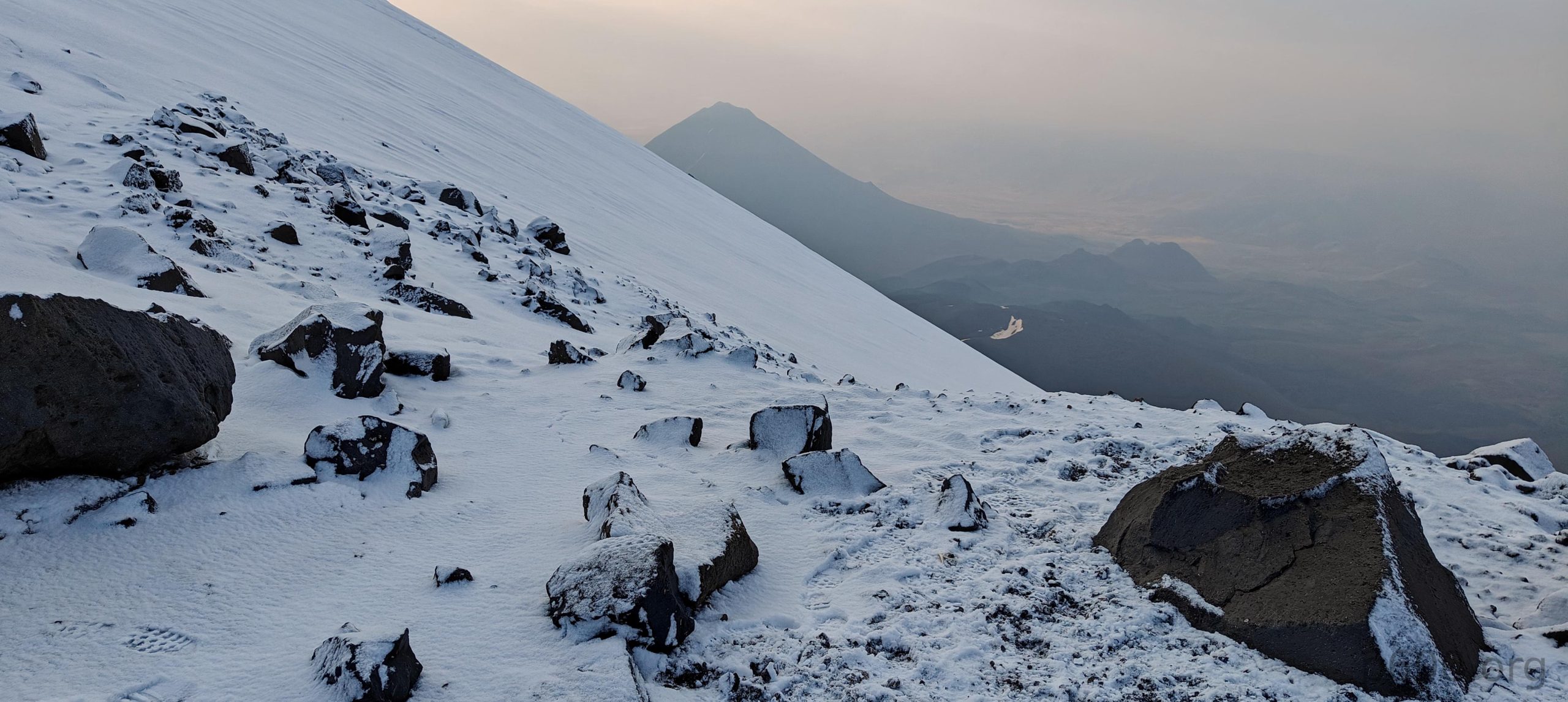
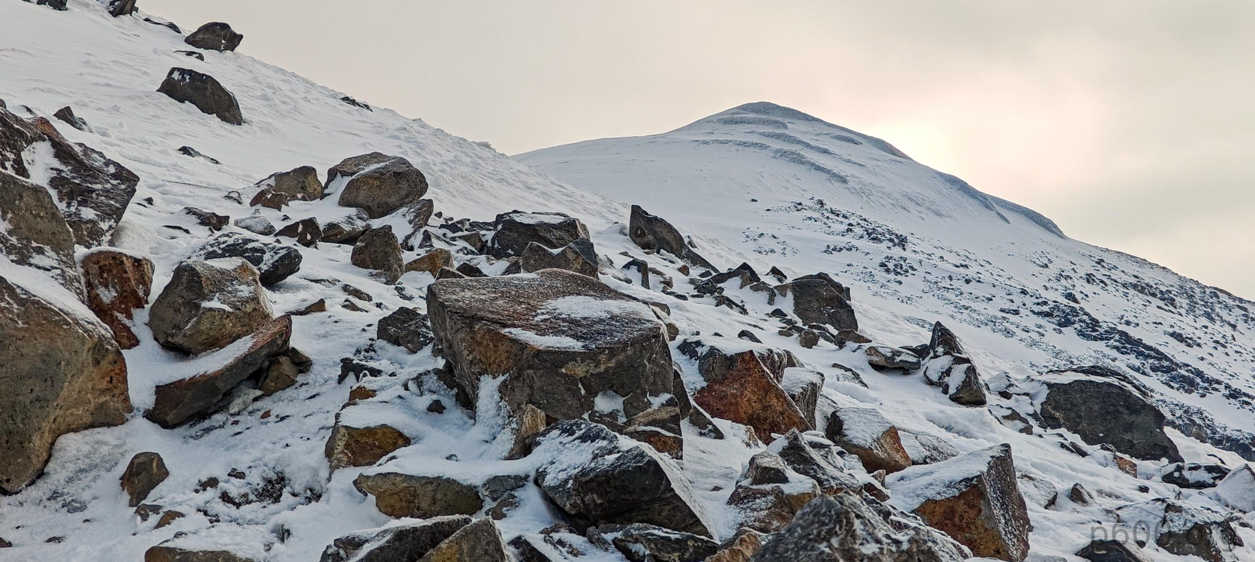
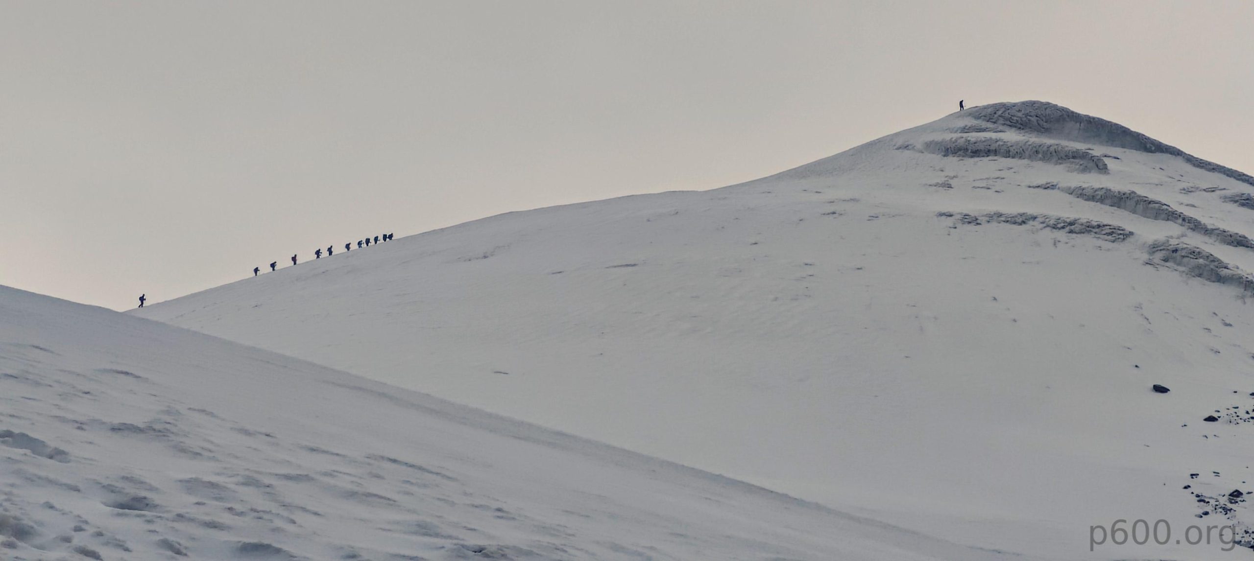
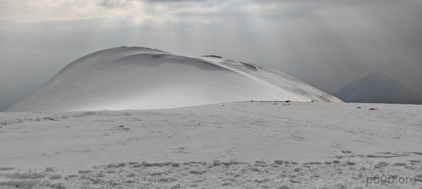
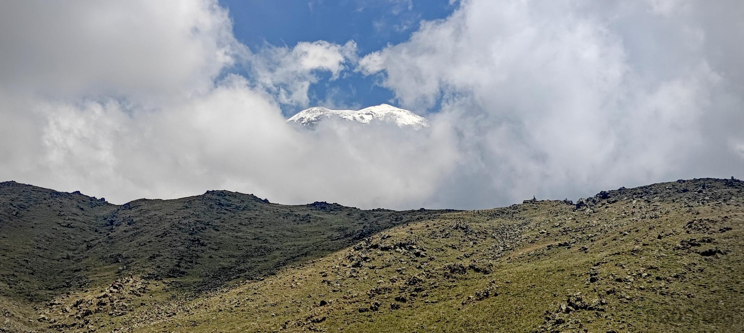
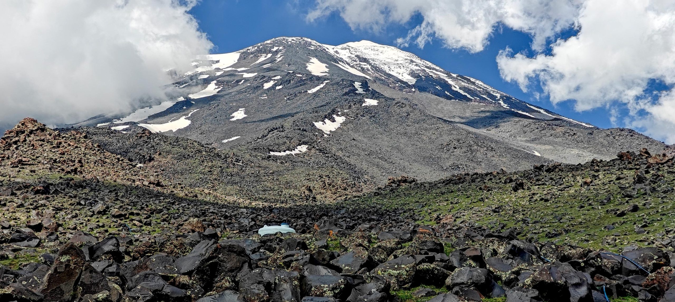
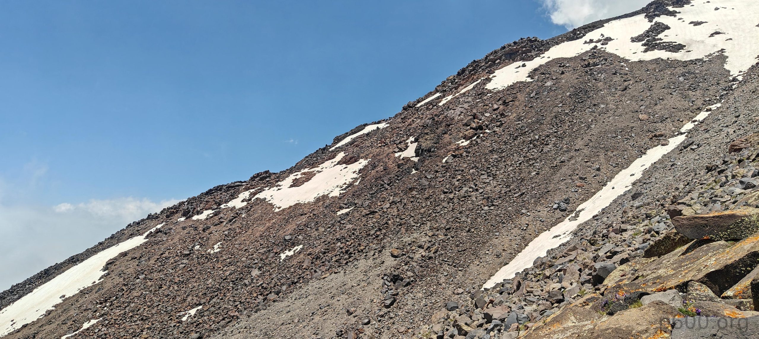
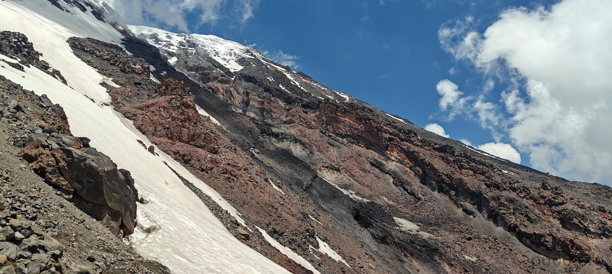
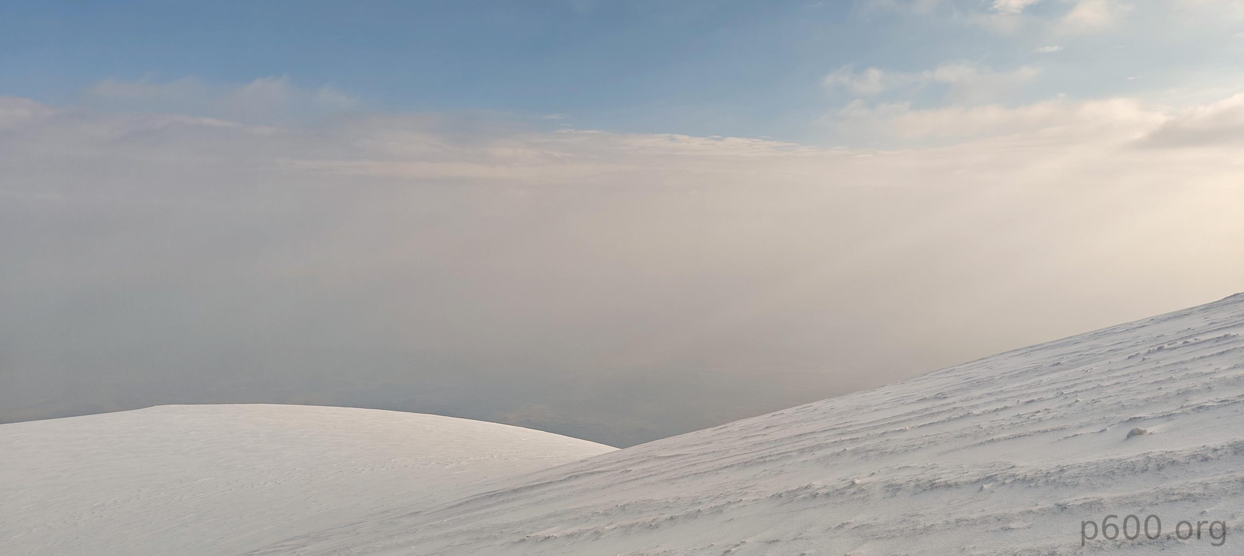
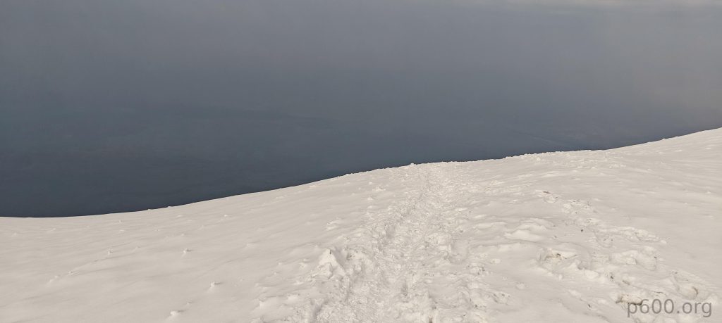
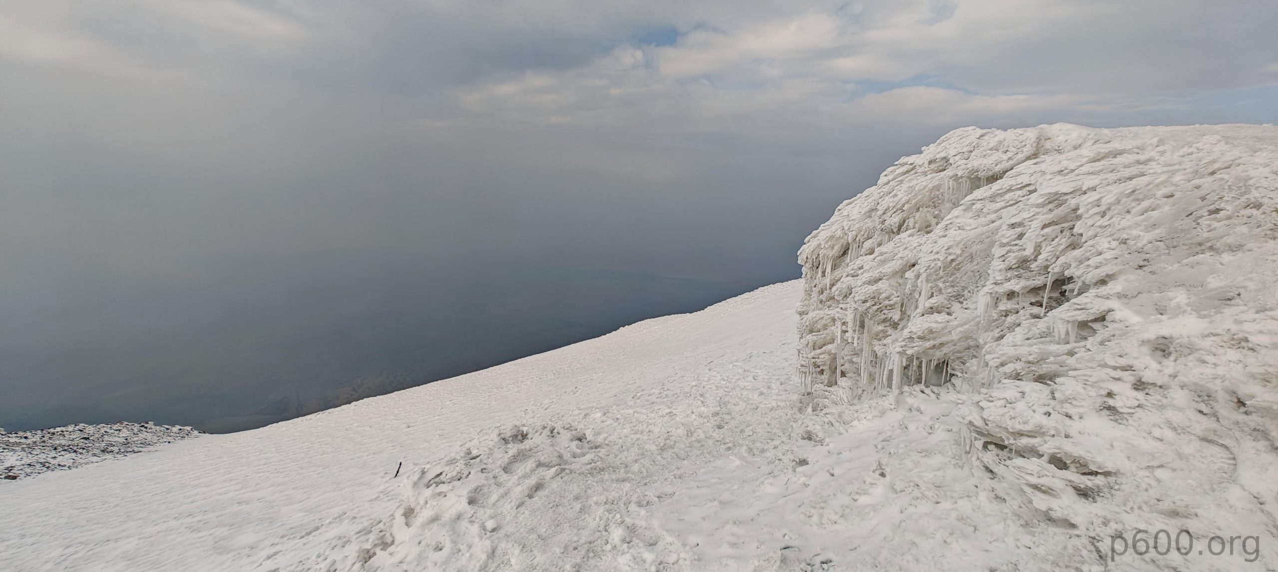
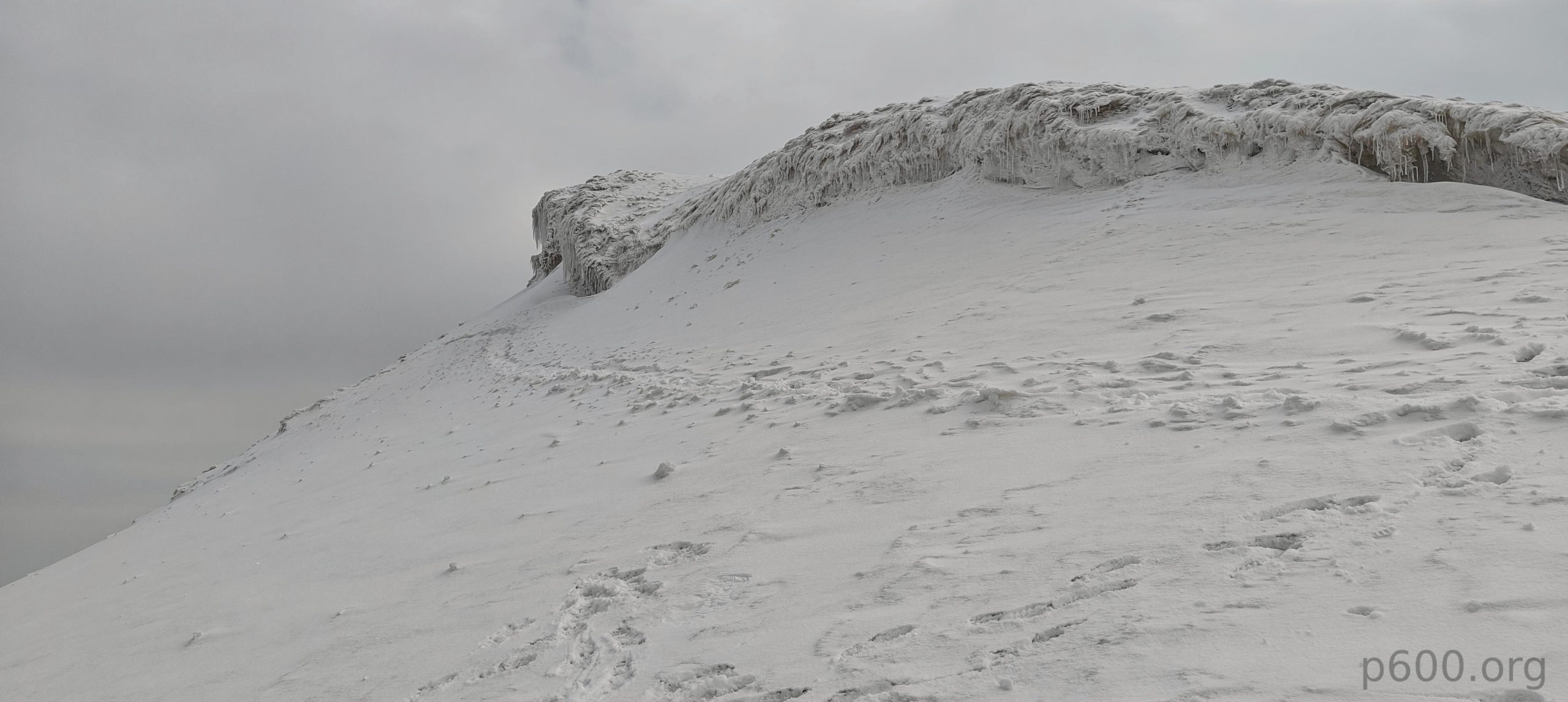
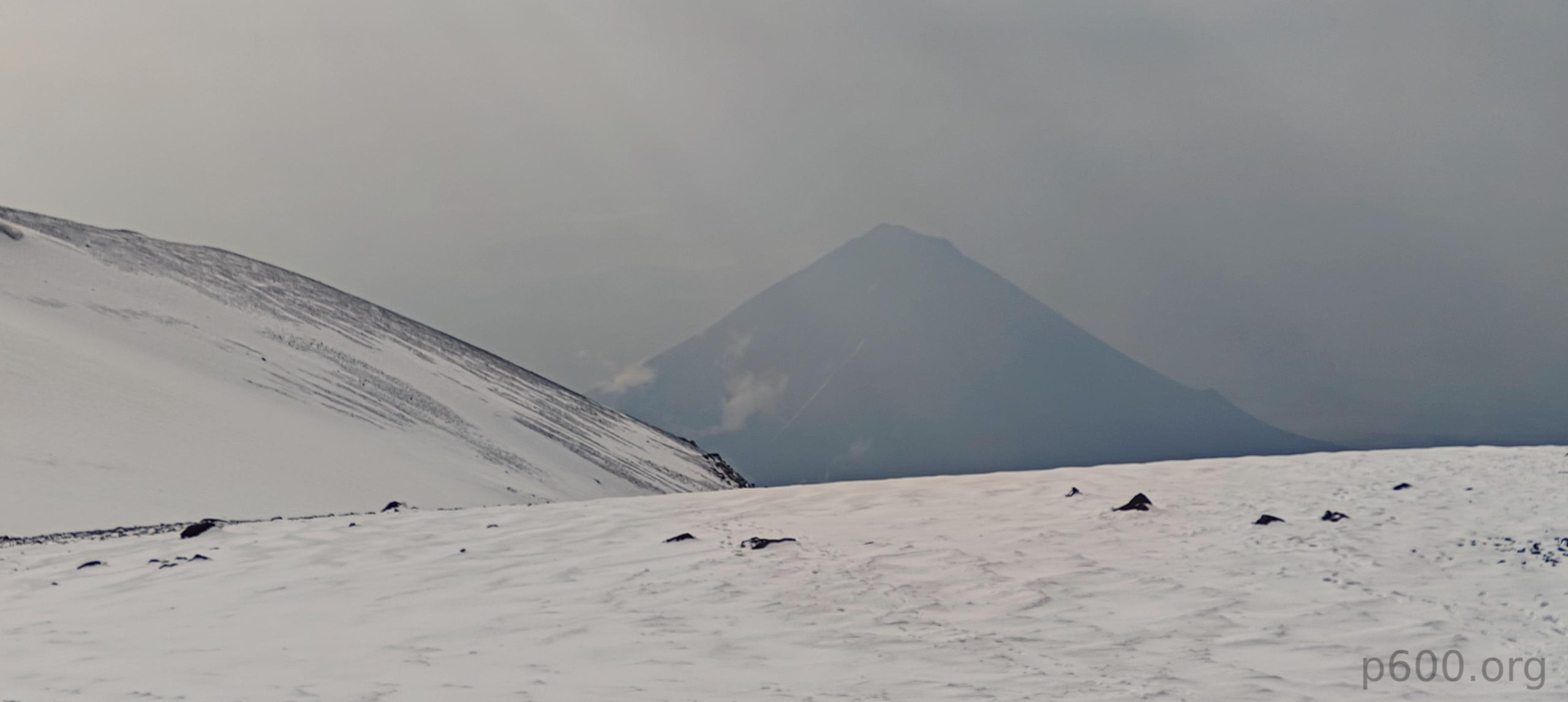
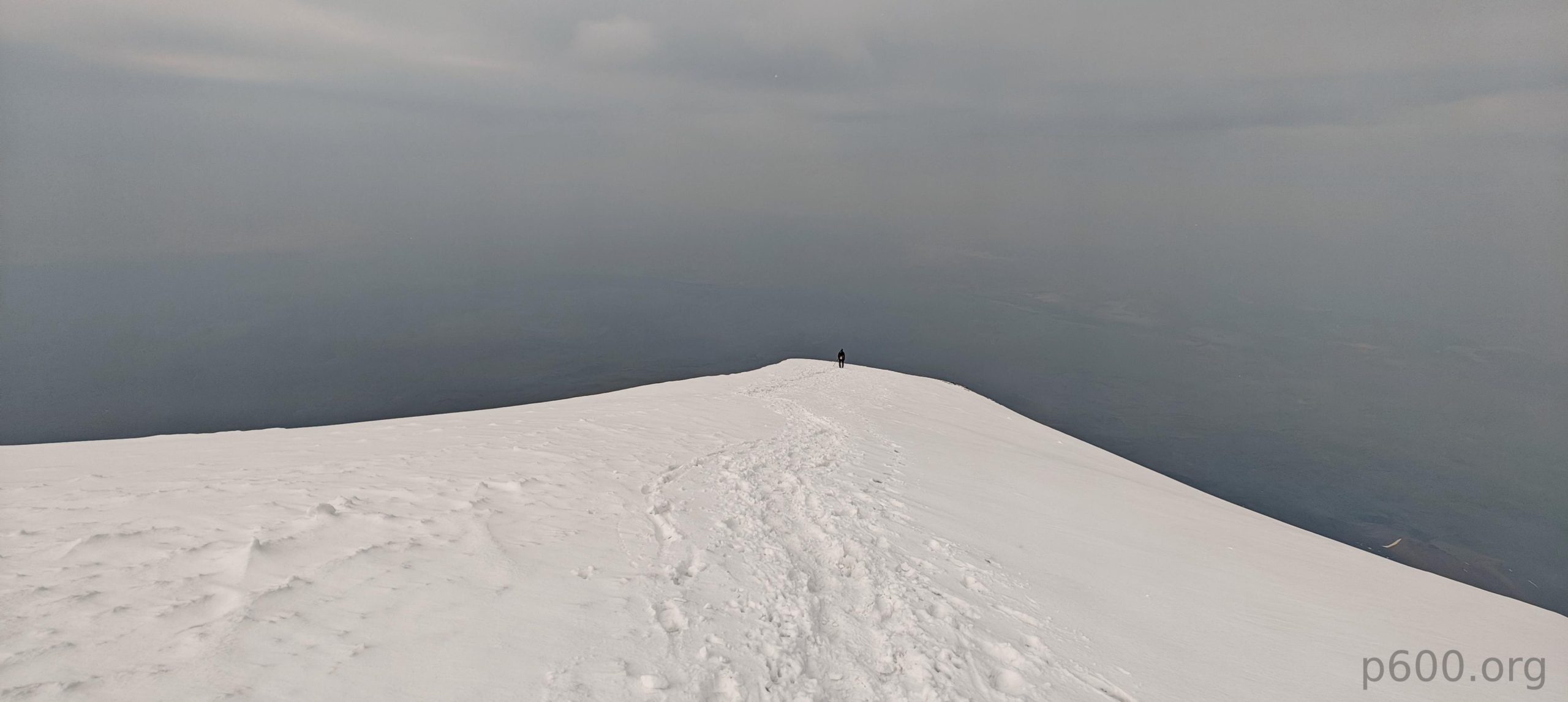
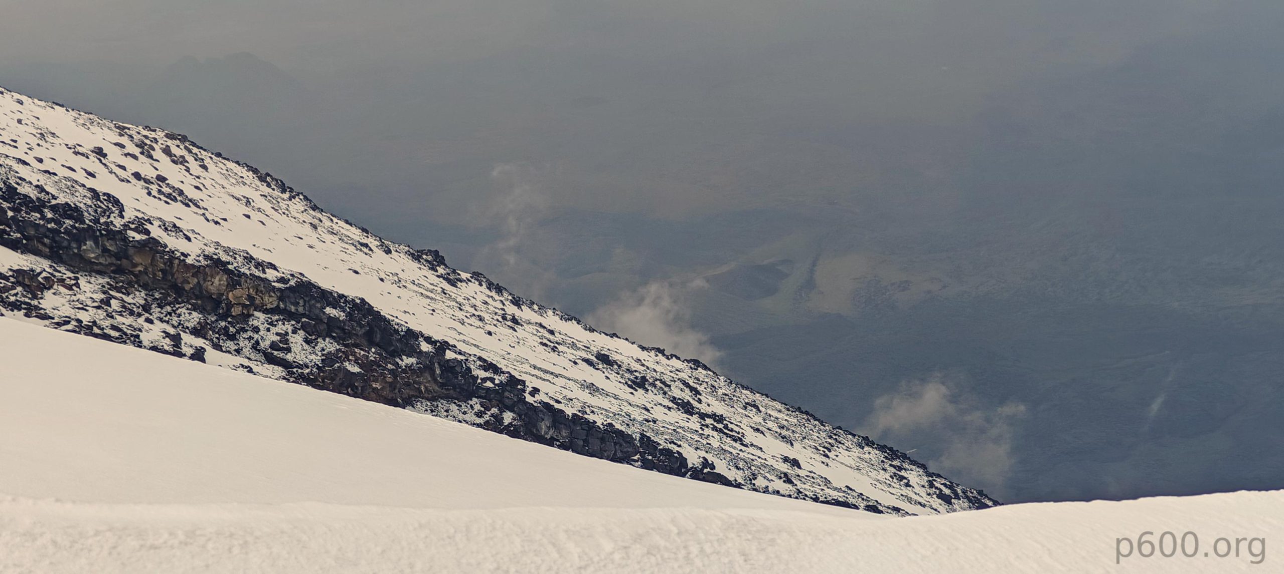
From Camp 2, we tackled the steep switchbacks on the rocky surface, moving at a reasonable pace. Soon we reached the snow field. The heavy rain we experienced at camp overnight meant fresh snowfall higher up. The snow was soft, and the trail was wide, with maybe a hundred people having gone before us, so we skipped the crampons and continued with just our boots. Even as we reached the summit slope, the snow remained soft and held us very well.
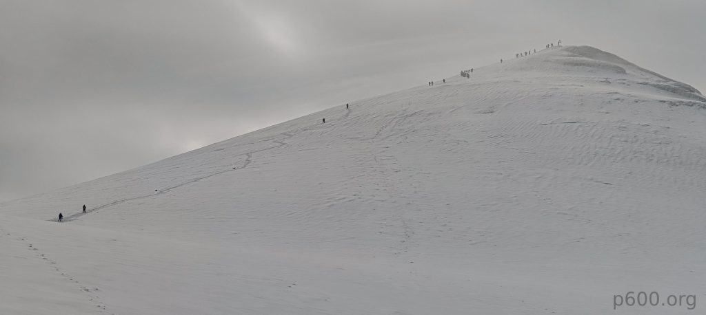
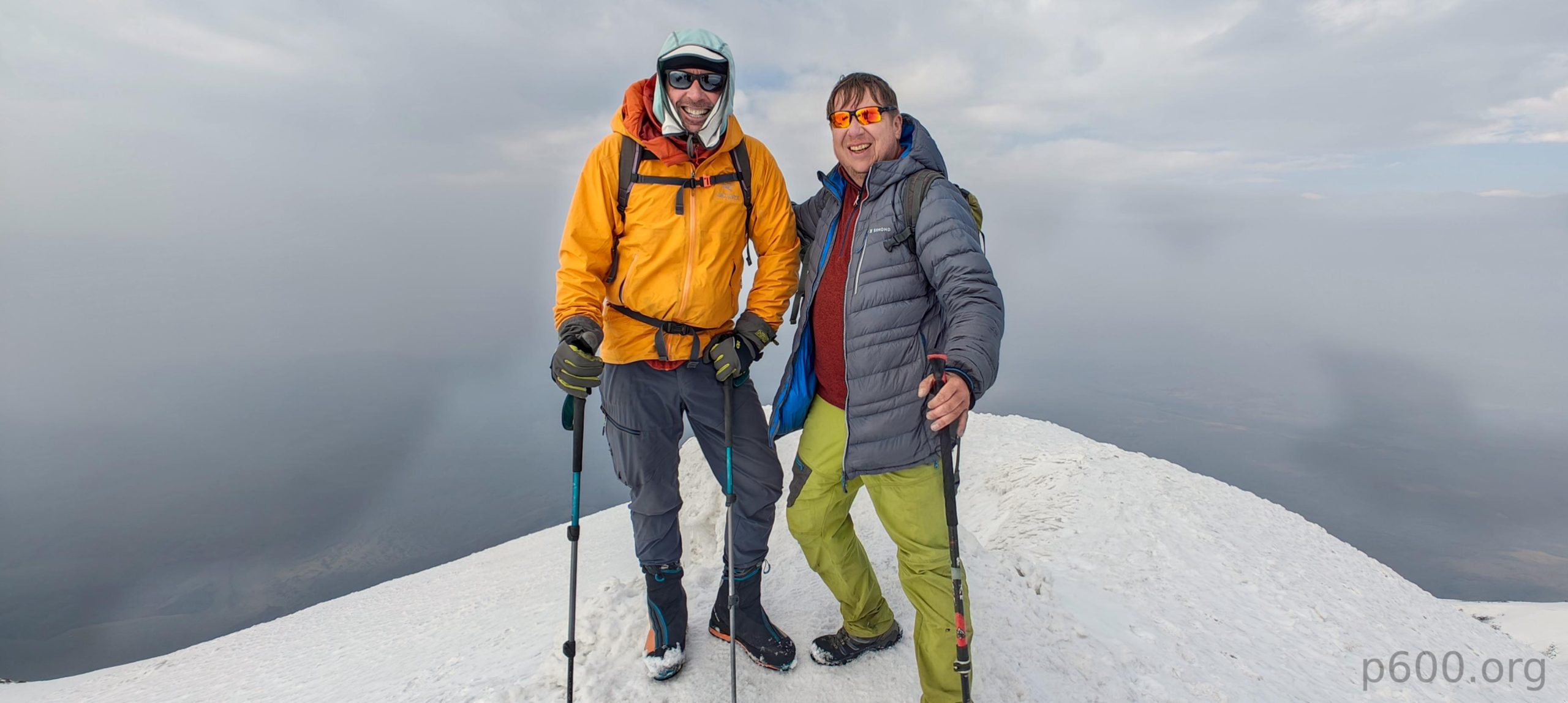
The summit isn’t marked, but it’s very crowded. There are maybe fifty or more Iranian climbers, a team of Armenian climbers, and a few other teams representing even more nationalities. Most people uncovered the hidden photographer, which was nice since I didn’t want to be the only one with a camera. After taking a few photos with Dave, exchanging congratulations with Recep, and sharing some joyful moments, I had a traditional apple, and we were ready to head down.

There was little room for improvisation, so we took the same trail down. On the snow, we skated down at a fast pace, overtaking everyone. Although we thought we were among the last to leave Camp 2 that day and met a few teams at the summit, we were actually the first to return to Camp 2. Recep didn’t wait and rushed to help Adam. Dave and I took a short break, had a few cups of tea, and soon started walking toward Camp 1.
After six hours from the summit, we were back at the car. Interesting how it takes 45 hours to go up and only 6 hours to come down. We waited for the horses to bring our bags and then drove back to the Doğubayazıt hotel. A good dinner, as usual, finalized our successful day. Mount Ararat—one of the top 50 most prominent peaks—was summited today, and our brains are full of “happy particles”. We love this feeling; otherwise, it would be hard to justify our efforts. Tomorrow, we don’t have many plans, but we have a long drive toward Erzincan. We’ll reunite with Rob and attempt to climb Akbaba Tepesi mountain.
Steven’s account of our hike can be found here