Rob misses his flight, thanks to Heathrow Airport’s “cutting-edge” scale and check-in system that seems to fancy adding imaginary weight to luggage. In the end, Rob’s right, and British Airways? Well, they messed up. But expecting a giant corporation to actually care is like hoping for a heatwave in the Arctic—wishful thinking at its finest.
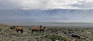
Meanwhile, I land an unexpected extra day in Ulaanbaatar. What’s a peak-bagger to do but scout for nearby mountains? Lo and behold, a peak boasting a 648-meter prominence lies just south of the city, waiting like a hidden treasure. Digging deeper, I uncover several paths leading to its summit: a straightforward route from the north, an alternative from the west, and a third from the south. The southern route, starting at the Mañjuśrī monastery, piques my interest the most, blending spiritual history with the thrill of the climb.
So, I reach out to Chegi, my driver from earlier today who also took me to see the Chinggis Khan statue, to see if he’s up for a drive to the south side of Tsetseegün Uul tomorrow. He’s all in. In a moment of jest mixed with hope, I throw out an invitation for him to hike with me. To my astonishment, he’s on board, saying, “Yes, I will hike with you.” Having company for my inaugural Mongolian peak climb is unexpectedly delightful.
In the morning, Chegi and I head south. The 50 km drive isn’t the issue; it’s escaping Ulaanbaatar’s clutches that proves difficult. Despite the city’s broad, straight roads, we’re ensnared in traffic jams, navigating through what seems like an endless maze of Toyotas for over an hour. Eventually, we break free and make our way to Zuunmod town, driving a bit further before pulling into a spacious parking area, ready to start our adventure.
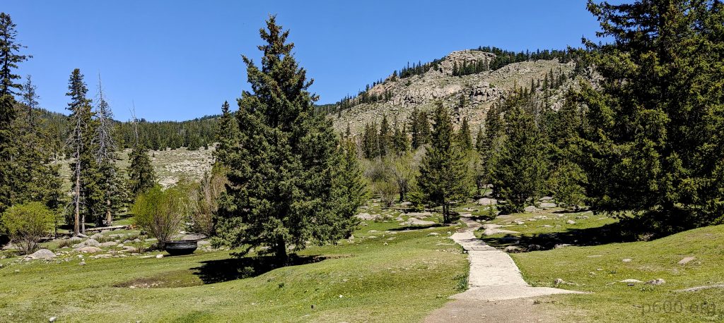
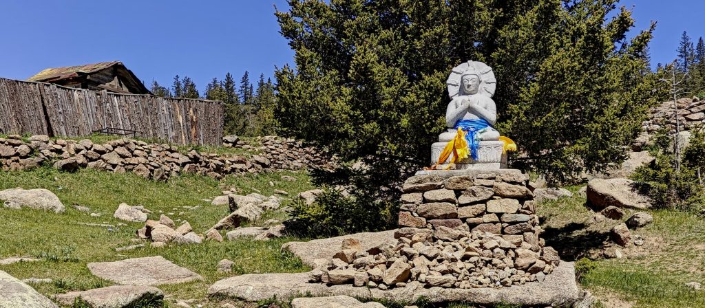
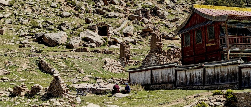
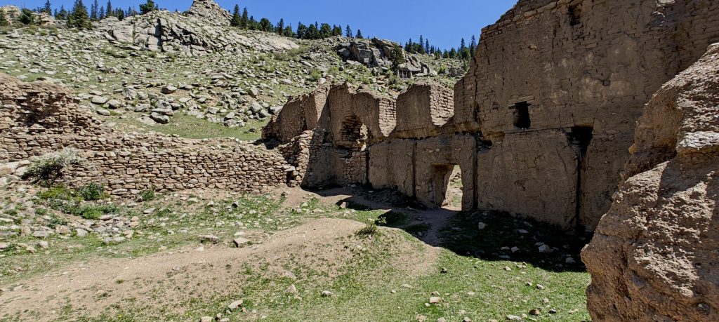
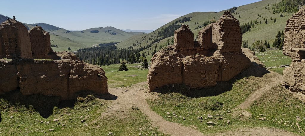
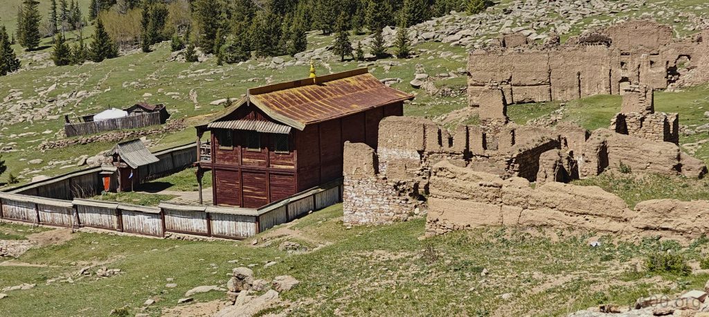
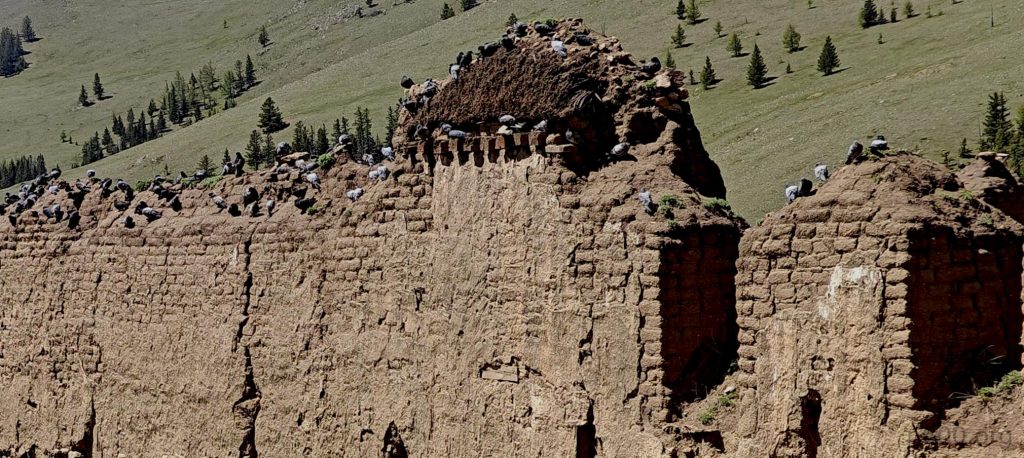
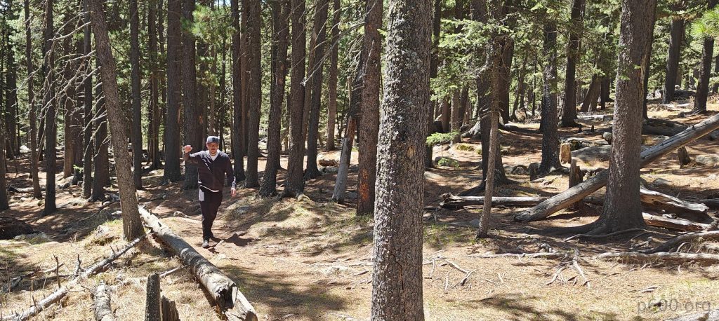
Once we’ve slipped into our hiking gear, Chegi and I set off on our trek. Not far up the slope, we encounter the Mañjuśrī monastery, a historical gompa, which serves as a beacon of Tibetan Buddhist education and meditation. Founded in 1733, its destruction in 1937 by Mongolian communists has not diminished its allure. The site is dotted with the ruins of ancient structures, alongside a recently constructed edifice, where monks sit in tranquil contemplation, surrounded by birds in flight—a serene and poignant start to our hike.
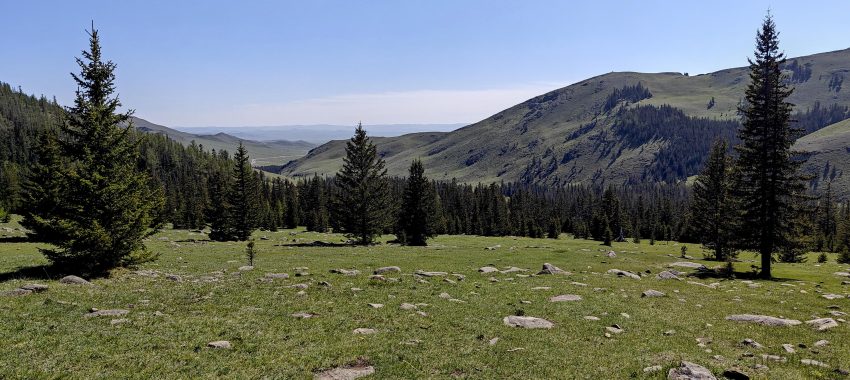
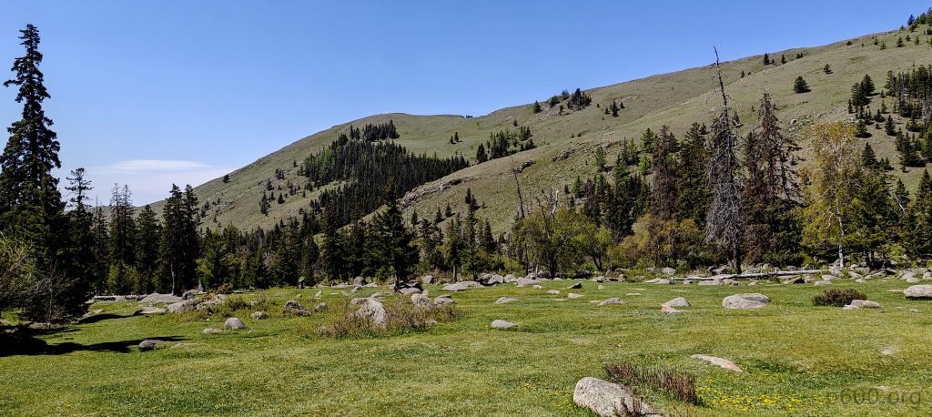
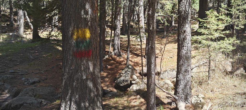
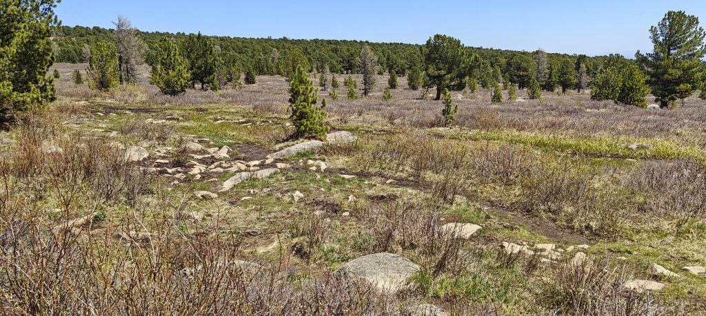
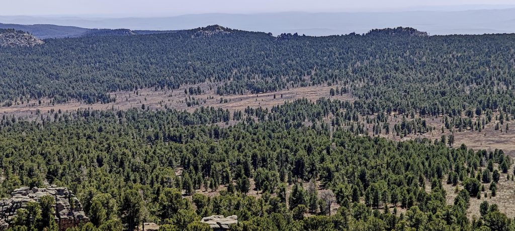
Leaving the monastery behind, we veer right up the slope, taking a shortcut to merge with the main trail. Our path is largely shaded by pine trees, offering a serene ambiance. We navigate around the occasional damp and muddy patches with ease. Nearing the summit, the dense forest transitions to wide-open fields, heralding our approach to the peak.
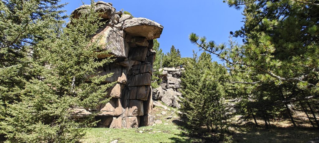
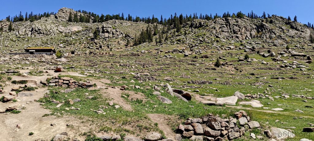
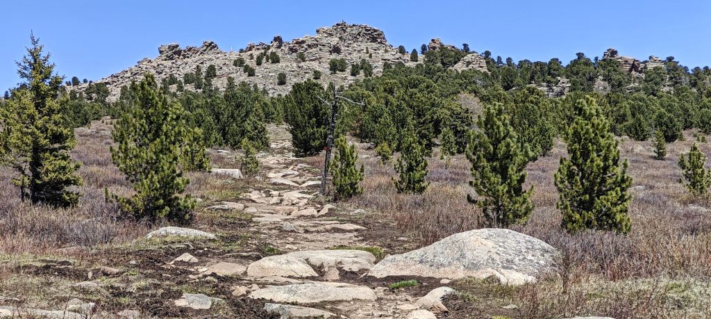
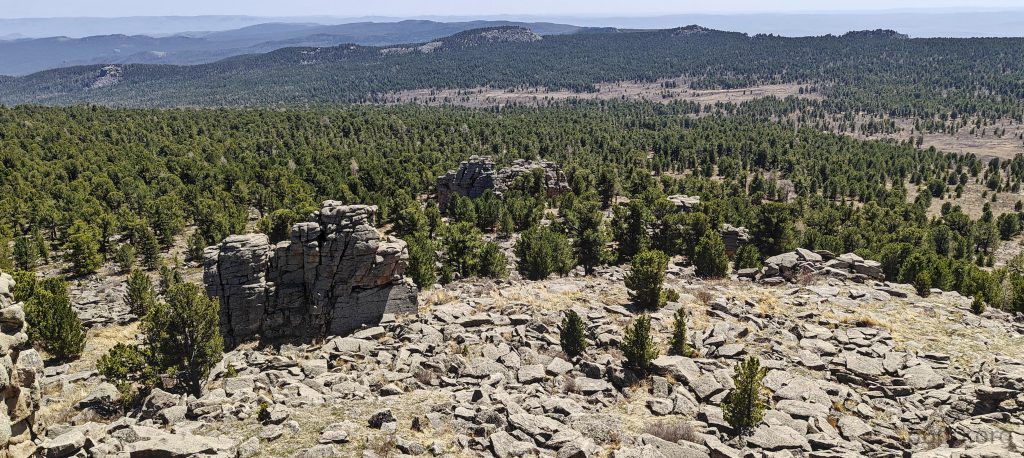
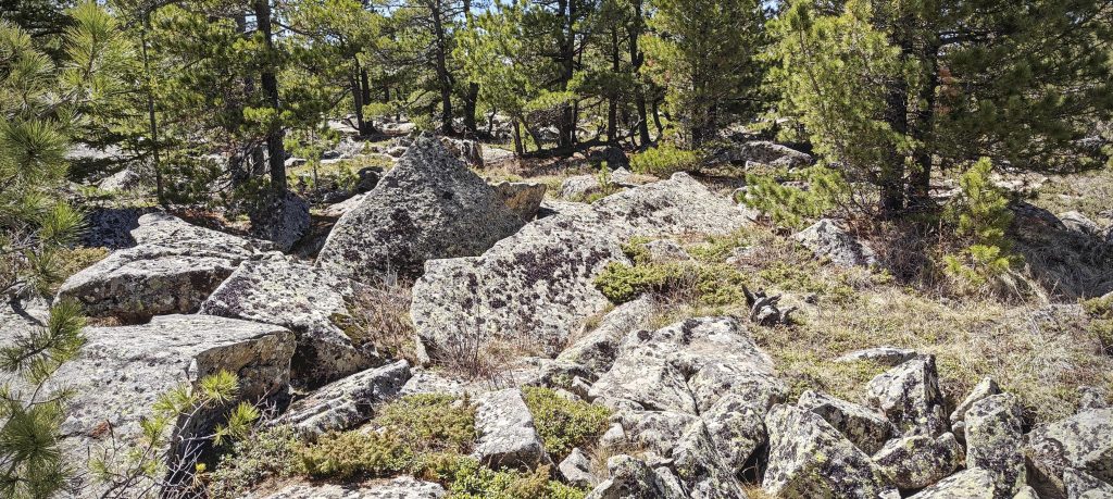
Approaching the summit, I’m momentarily stumped by the ten-meter rocks at the peak, wondering how to tackle them. However, a closer look reveals they’re much more manageable from the other side. Despite this, there are still spots that demand Class 3 or Class 4 climbing skills to navigate.
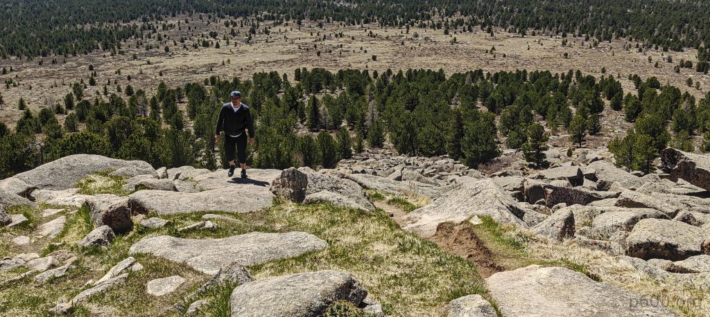
I initially tackle the slightly lower west rock from its rear, climbing it with ease. Moving on to the southeast rock, I find its ascent relatively straightforward. However, it soon becomes clear that the true summit lies atop the north rock. From the front, it appears formidable. I try to find a way up from the left rear without success. Shifting my approach, I navigate to the right rear side, threading through a series of boulders. This maneuver helps me find a path to the larger rock formations, and I eventually reach the summit. While the climb isn’t overly difficult, it demands careful attention to avoid a misstep that could lead to a perilous fall.
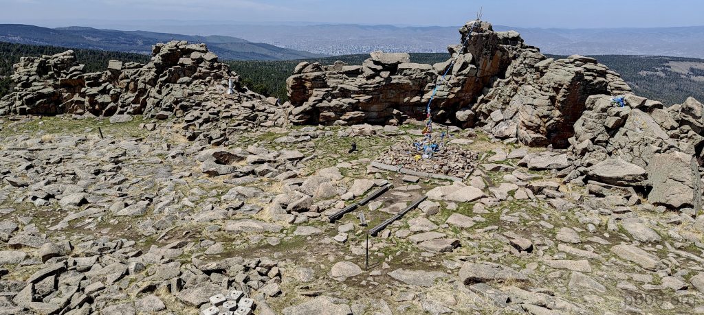
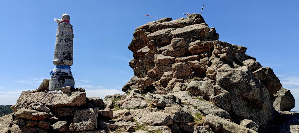
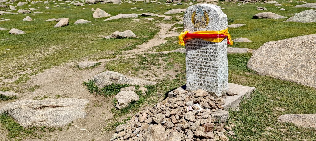
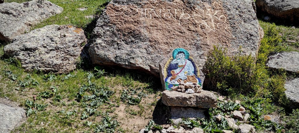
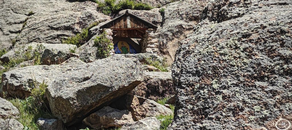
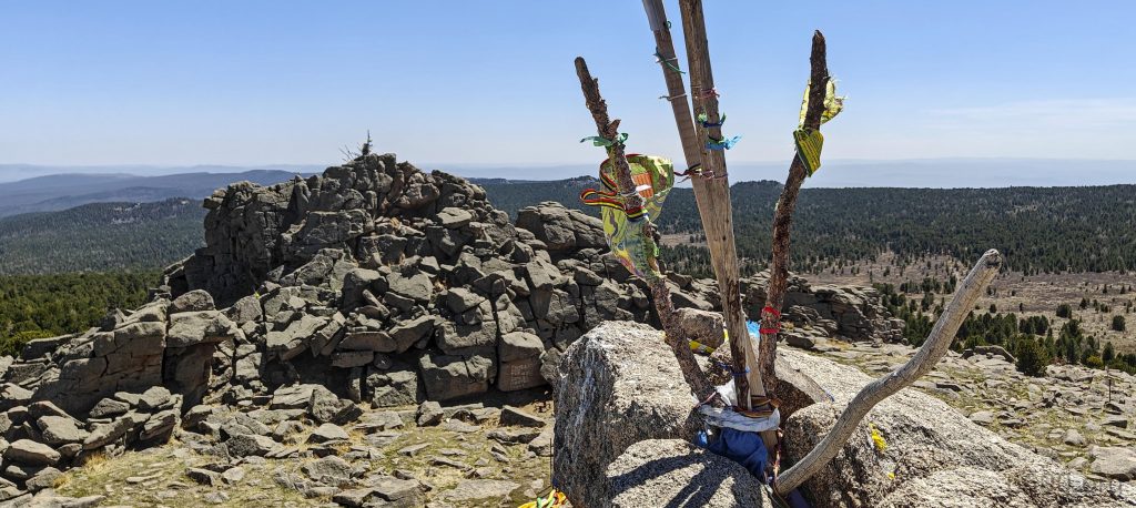
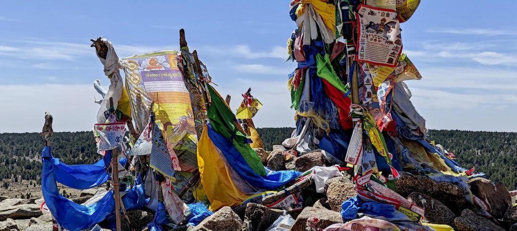
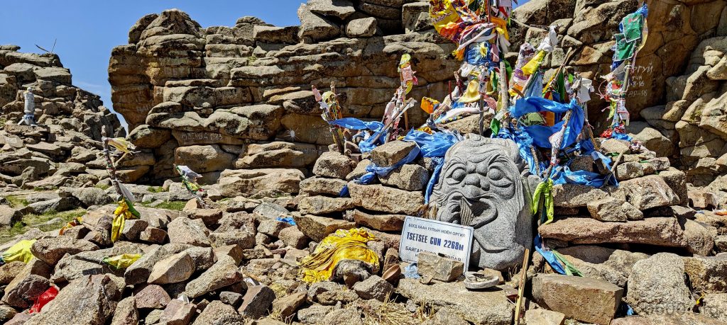
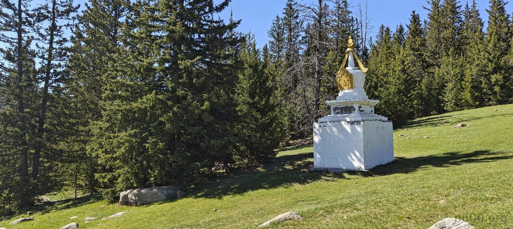
At the summit, poles and Tibetan-style flags decorate the landscape, with a string linking the peak to a shrine below, hinting at a deep cultural and spiritual significance. From a nearby, slightly lower plateau, Chegi sends his greetings.
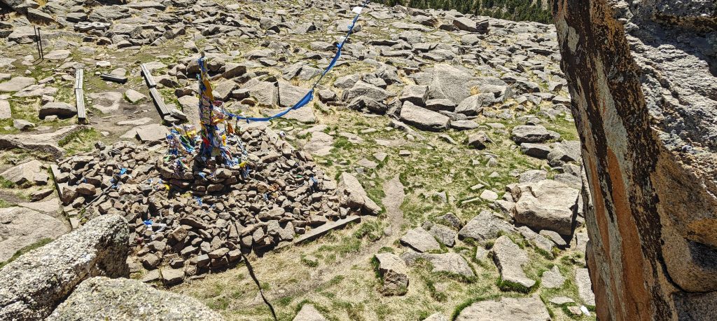
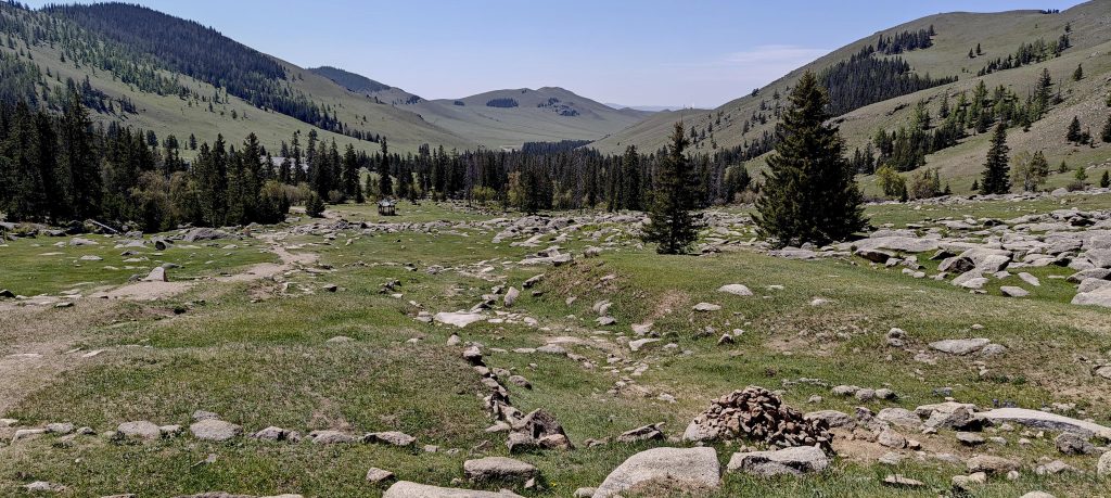
We take a moment to rest before beginning our descent. Lacking precise measuring tools and faced with a persistent suspicion that a peak half a mile to the southwest might match the height of the one we just climbed, we veer off course to investigate. This task is not simple; the summit’s flat terrain, obscured by forest, makes it challenging to discern the slightest elevation differences among rocks or mounds. Nonetheless, relying on the topographical map’s contours and my own judgement, I designate a stone pile as the highest point. With this decision, we confidently return to the main trail, content with our thorough exploration.
The descent, shaded and gentle, leads us swiftly back to our car. This expedition marks my first successful ascent of a Mongolian P600 peak, a truly enjoyable experience. Conversations with Chegi, rich with insights into the local way of life and culture, make the time pass quickly. In the evening, a leisurely walk through Ulaanbaatar culminates in a satisfying meal at Route 22 restaurant. Today stands out as a memorable adventure, and I eagerly anticipate meeting Rob tomorrow morning. Together, we’ll set off towards Dund Sayhni Nuru, aiming to explore more of Mongolia’s southern landscapes.