Skip to content
Menu
p600.org
  • home
  • map
  • trips
  • about
p600.org

Rokantiškių Kalva

hike | 2023-03-12

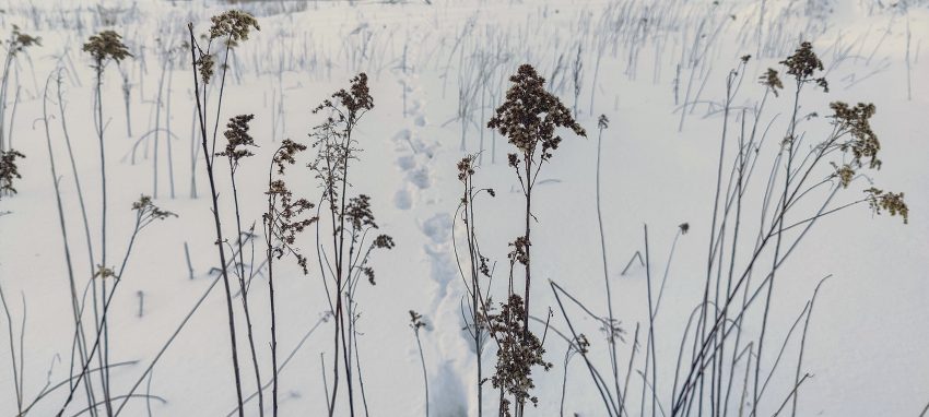
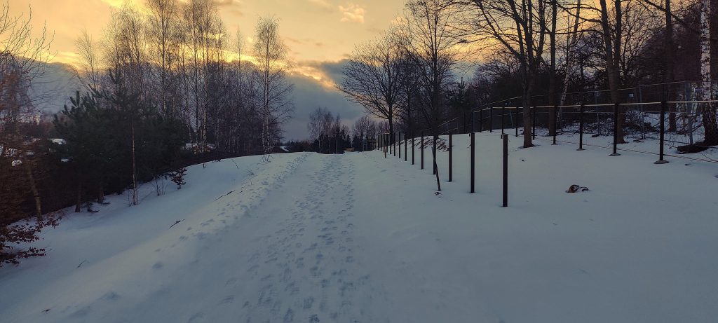
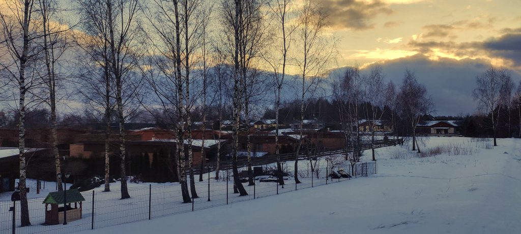
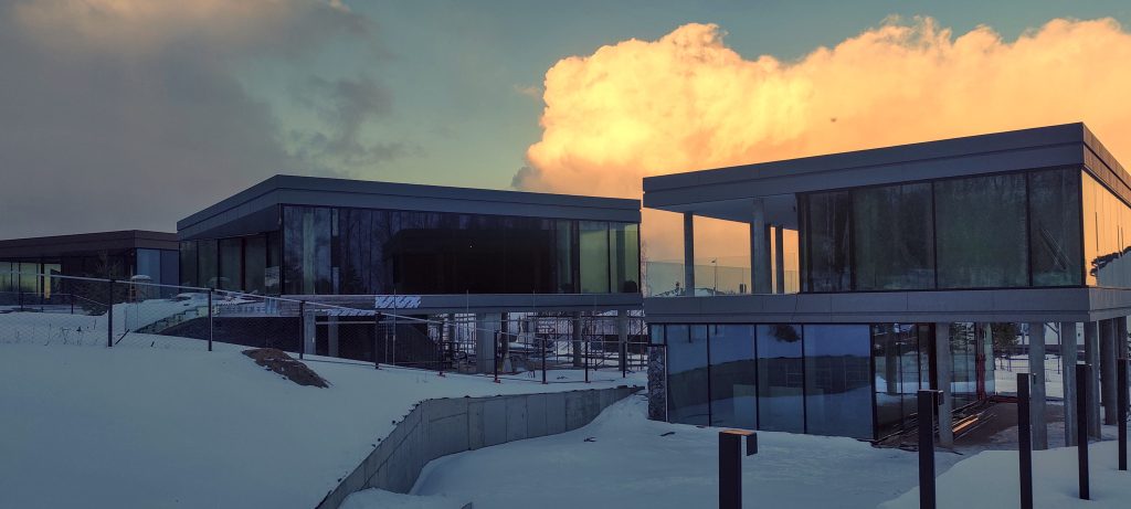
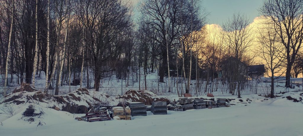
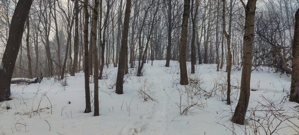
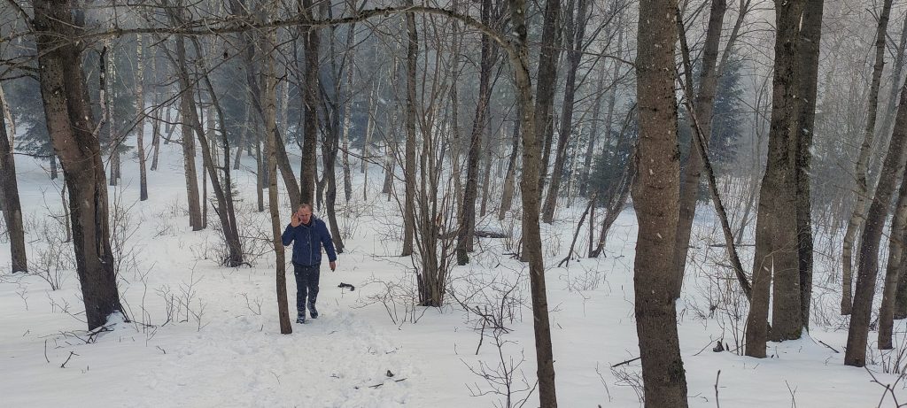
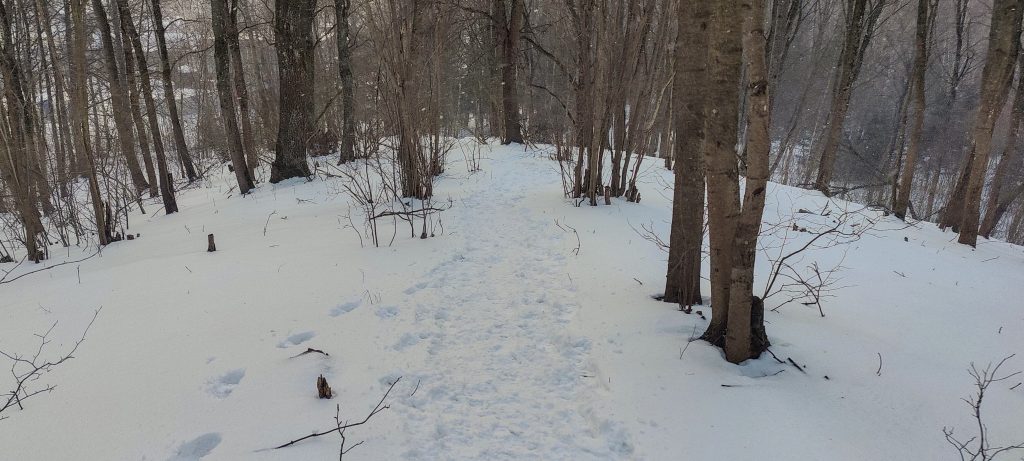
We decided to visit this peak unexpectedly, although I had wanted to go there for a few years. We drove fifteen kilometres from Vilnius and were still surrounded by houses, with construction going on next to the hill. First we tried the south side, but were stopped by the construction fences that ran all along the southern slope of this hill. Then we tried the possible road to the east to the house near the top, but unfortunately it was also fenced in. So we drove all the way around to the north side, parked our car next to one of the unfinished houses and walked to the top. It was very unusual as there was a lot of snow in March; some steps were knee deep. Later we found some tracks, surprisingly – it looks like this peak is visited more often than one would think.

Good access from the south side, unfortunately the summit is on the other side of the fence
Housing complex nearby
Some fancy houses near the hill
Ongoing construction, so there is a chance that the fence will disappear when construction is complete
Approaching the summit
Arūnas nearing the summit

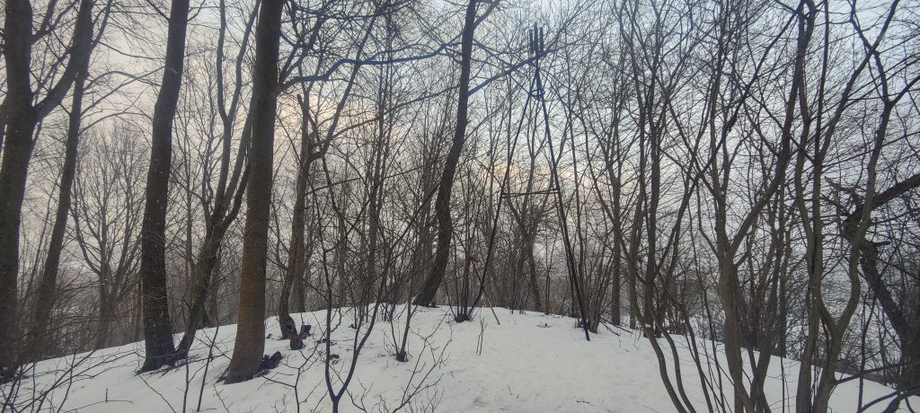
At the top we found a triangular metal structure with a metal end at the bottom. It is likely that some measuring equipment is attached to it. In Malaysia these structures are called “beiruts” and they are sometimes found in France, Switzerland and I think I have seen them in a few other places.

Triangular metal construction, called “beirut” in some countries
The structure at the top is perhaps five metres high
Metal end, probably for attaching some equipment (left)
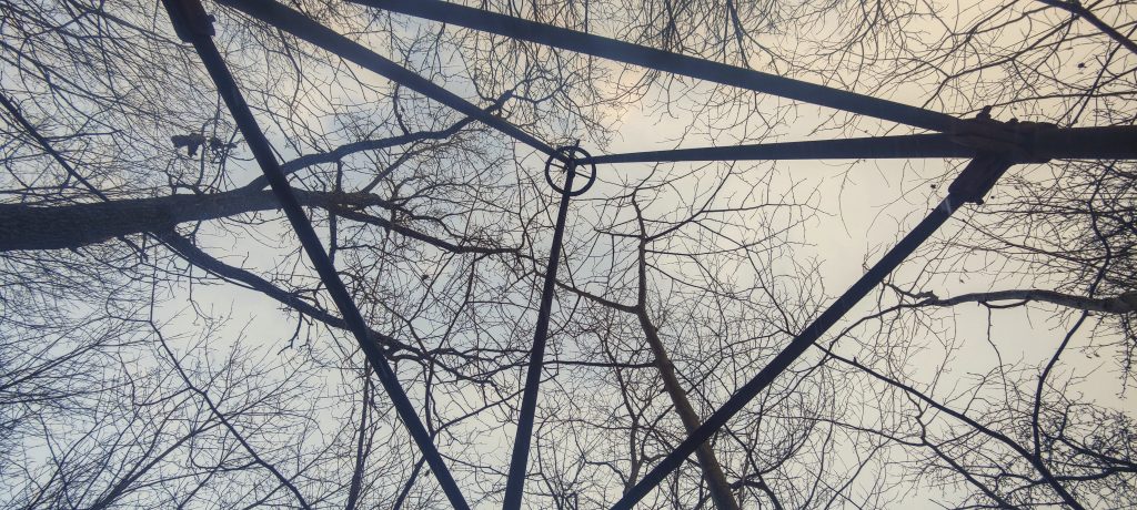
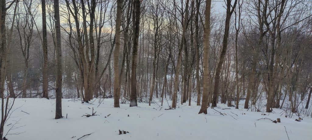
View from above (right)
The peak is located in Žalaiakalnis Park

Short, unplanned walk and now one “red” spot less on the map. Excellent! I’m looking forward to my third trip to West Africa this year.


Rokantiškių Kalva231 m altitude
RangesEastern Europe Ranges - Southeast Baltic Plains
Countries/regionsLithuania - Vilnius County
Distance1.80 km up0.60 km down
Elevation26 m gain26 m loss
Time
0h15 up
0h01 other
0h10 down
0h26 total
Trailhead205 m altitude54.6819280, 25.3860720
Route<p>There is a track from the west side, presumably connecting to other tracks in the park, but we crossed grassy fields from the north side before reaching the visible track.</p>
Difficulties<p>There are construction fences on most sides, which will hopefully disappear when the work is finished</p>
LinksGPX trail
  • « West Africa II 2023
  • Northern Sierra Leone »

Mountain Ranges

Anatolia
Central Anatolia
Pontic Mountains
Southeast Anatolia
Taurus Mountains
Western Anatolia
Andes
Puna de Atacama
Atlas Mountains
High Atlas
Northwestern Atlas
Central America Ranges
Costa Rica-Panama Ranges
Central Central America
East China
Taiwan
Eastern Europe Ranges
Southeast Baltic Plains
Iberian Peninsula
Cordillera Cantabrica
Castile Ranges
Portugal-Galicia
Pyrenees
Intermountain West
Great Basin Ranges
Korea-Amur Area
Taebaek Sanmae
Malay Archipelago
Java
Nusa Tengarra
Sulawesi
Sumatra
Mid-Atlantic Islands
North Atlantic Islands
Mongolia Ranges
Altai
Gobi Desert Ranges
Hangay Mountains
Northwest Europe
Great Britain
North France-West Rhine Area
Pacific Ranges
Cascade Range
Northwest U.S. Coast Ranges
Sierra Nevada
Central and Southern California Ranges
Philippines
Central Philippines
Luzon
Mindanao
Southeast Asia
Malay Peninsula
Southeast South America
Pampas
Sierras de Cordoba
Southern Africa
Malawi Highlands
West Africa Mountains
Bight of Benin
Cameroon Mountains
Guinea Highlands

Countries / regions

Algeria
Ain Guezzam
Ain Salah
Aïn Témouchent
El Bayadh
Ghardaïa
Oran
Ouargla
Saïda
Sidi Bel Abbès
Tamanrasset
Argentina
Catamarca
Ciudad Autónoma de Buenos Aires
Córdoba
Jujuy
Salta
Tucumán
Belgium
Brussels Capital Region
Flemish Region
Cameroon
Southwest
China
Taiwan
Costa Rica
Alajuela
Cartago
Guanacaste
Heredia
Limón
San José
Czechia
Prague
Denmark
Greenland
France
Hauts-de-France
Occitania
Germany
Berlin
Niedersachsen
Indonesia
Bali
Jambi
Jawa Tengah
Jawa Timur
Nusa Tenggara Barat
Sulawesi Tengah
Sulawesi Utara
Sumatera Barat
Lithuania
Vilnius County
Mongolia
Bayankhongor
Govi-Altai
Khovd
Omnogovi
Ovorkhangai
Ulan Bator
Zavkhan
Morocco
Béni Mellal-Khénifra
Drâa-Tafilalet
Fez-Meknes
Marrakesh-Safi
Souss-Massa
Tangier-Tetouan-Al Hoceima
Mozambique
Zambezia
Netherlands
Gelderland
Noord-Holland
Zeeland
Nicaragua
Chinandega
Managua
Masaya
Rivas
Philippines
Bicol Region (V)
Cagayan Valley (II)
Calabarzon (IV-A)
Central Luzon (III)
Cordillera Administrative Region
Davao Region
Metro Manila
Soccsksargen (XII)
Western Visayas (VI)
Poland
Greater Poland Voivodeship
Masovian Voivodeship
Portugal
Castelo Branco
Leiria
Lisbon
Madeira
Santarém
Qatar
Ad-Dawhah
São Tomé and Príncipe
São Tomé Province
Sierra Leone
Northern Province
Western Area
Singapore
South Korea
Gyeongsangnam-do
Seoul
Spain
Aragón
Asturias
Castilla-La Mancha
Castilla y León
Catalonia
Islas Canarias
Switzerland
Zürich
Turkey
Antalya
Bitlis
Erzincan
Hakkâri
Igdir
Isparta
Kahraman Maras
Muğla
United Kingdom
England
Scotland
United States
California
Delaware
Florida
Maryland
Nevada
New Jersey
New York
Pennsylvania
South Carolina
Utah

TRIPS

2024
Southern Africa 2024
Mid-Atlantic Islands 2024
North America 2024
Anatolia 2024
Korea-Amur Area 2024
East China 2024
2023
Mongolia Ranges 2023
Philippines 2023
West Africa III 2023
West Africa II 2023
Iberian Peninsula 2023
West Africa 2023
Central America 2023
2022
Andes 2022
Northwest Europe 2022
Malay Archipelago III 2022
Malay Archipelago II 2022
Anatolia Mountains 2022
Iberian Peninsula 2022
Atlas Mountains 2022
North France-West Rhine Area 2022

archaeology (3) climb (157) food (2) hike (155) p30 (17) p50 (4) p100 (24) p300 (12) p600 (17) p1000 (11) p1500 (76) ribu (10) sight (46) summary (16) trig (44) ultra (76)

1 591 km walked, 121 298 m climbed

©2025 p600.org | WordPress Theme by Superbthemes.com