Skip to content
Menu
p600.org
  • home
  • map
  • trips
  • about
p600.org

Merrick

hike | 2022-11-19
843 m altitude, 705 m prominence, - km isolation

Merrick is far enough away from the other mountains to be the southernmost peak of Scotland’s P600. It is the highest mountain in the Southern Uplands and southern Scotland, so I had enough arguments for visiting it.

Nice scenery in the morning

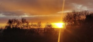
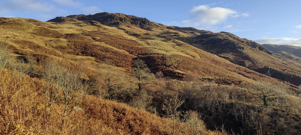
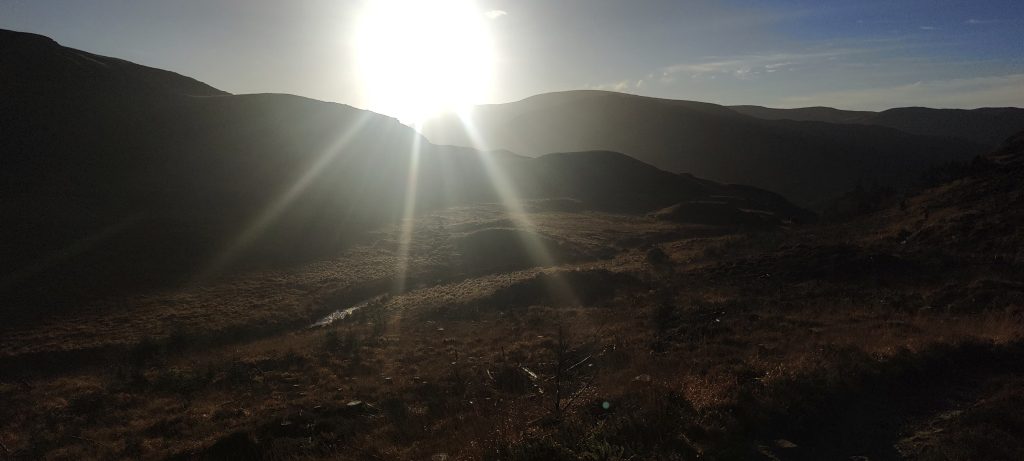
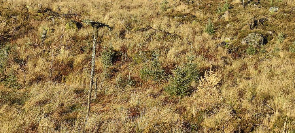
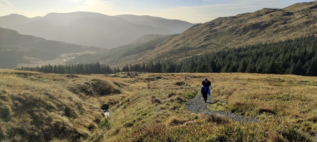
Several cars are already parked in the parking lot. We change our shoes, get dressed, and start climbing. The unpaved trail follows a stream and is a little muddy at times, but not too bad. The morning sun shades the surrounding slopes and mountains perfectly.

Bright morning colors
Along the stream
Stream
November sun
Lower peaks
Gradual slopes
I guess Scots like jokes

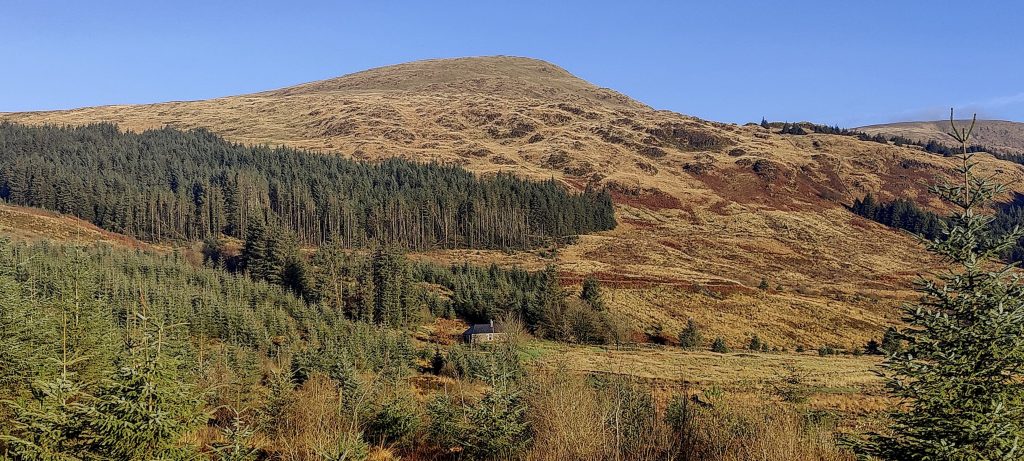
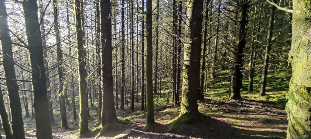
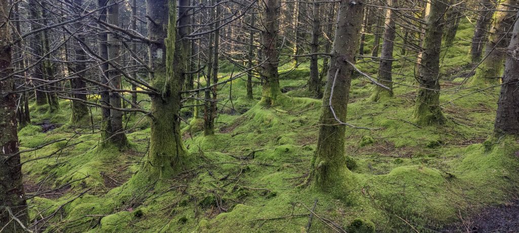
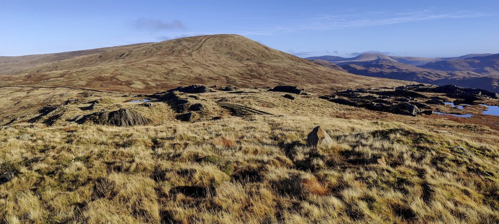
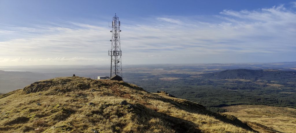
We cross the forest and climb up to the ridge. I make a small detour and visit the top of Bennan. Near the peak is a communications mast. I head back, heading straight for the summit of Bennyellary, where I meet Arūnas again.

Passing forest slopes
Arūnas and fly agaric (Amanita muscaria)
Along the fence to Bennan 562m
Benyellary 719m
Communications mast at Bennan

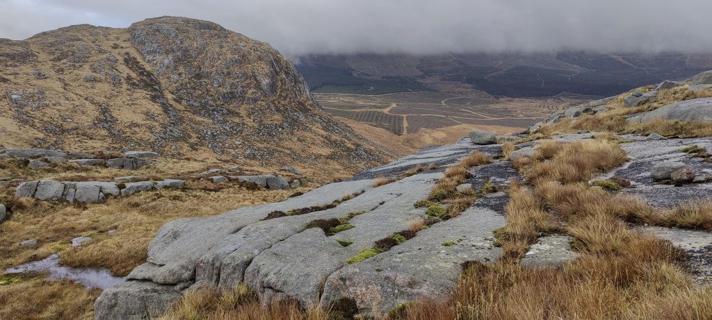
A small descent and we climb up again, and soon we find ourselves at the main summit of Merrick with the white-painted triangulation pillar. The clouds blow away, and you can see a little of the surrounding view, but it is short-lived.

View from Bennan
View from Benyellary slope
View from the saddle between Benyellary and Merrick
South west views to the Loch Valley
Short photo session
Later, we will walk around this remote Loch Neldricken
Approaching the Merrick and looking bakc to Benyellary
Trig pillar at the Merrick

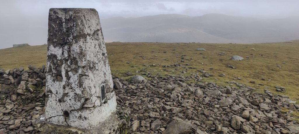
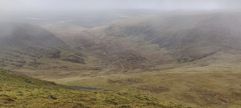
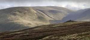
The summit is cloudy, with only a few short views

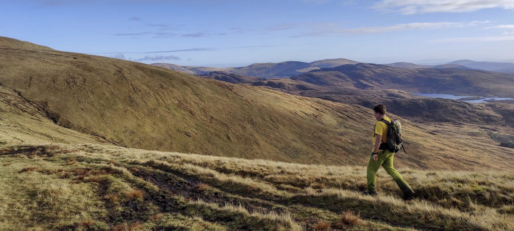
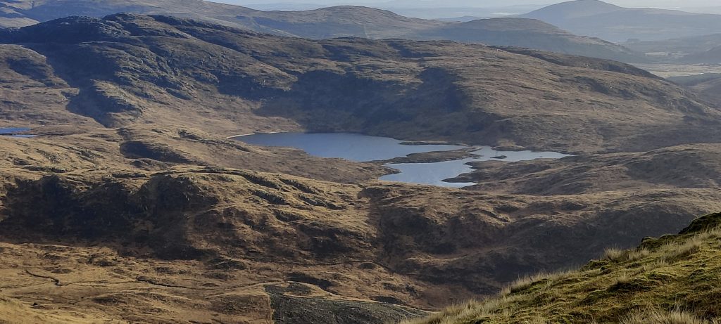
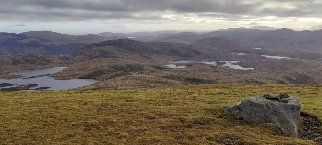
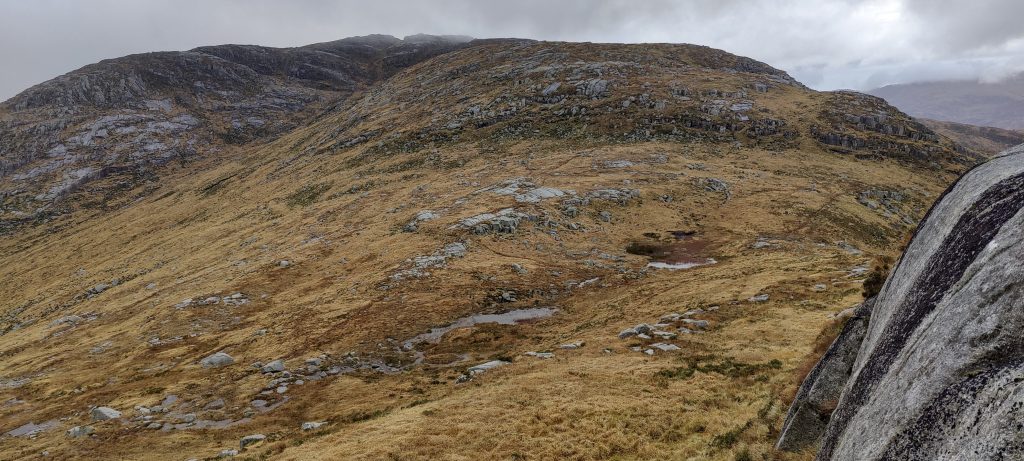
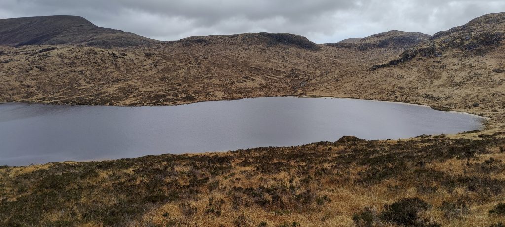
We decide to go back the other way, walk a loop, and descend the eastern slope of Merrick. Sometimes we follow a trail that is hard to see, and sometimes we lose it, but it is still a pleasant walk. We split close to the lake. I agree to meet Arnas in the saddle between Mullwharchar and Dungeon Hill, and I climb a hundred meters to the top of Mullwharchar. Twenty minutes later, we met again.

Loch Valley lakes
Going down SW slope from the Merrick
Mullwharchar 692m in the left and Loch Neldricken at the bottom
Dungeon Hill 843m behind the lake

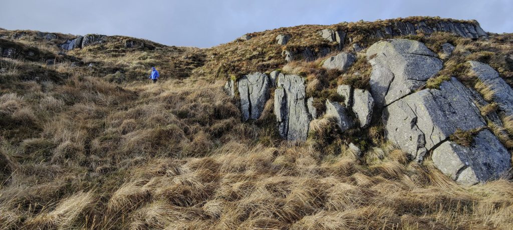
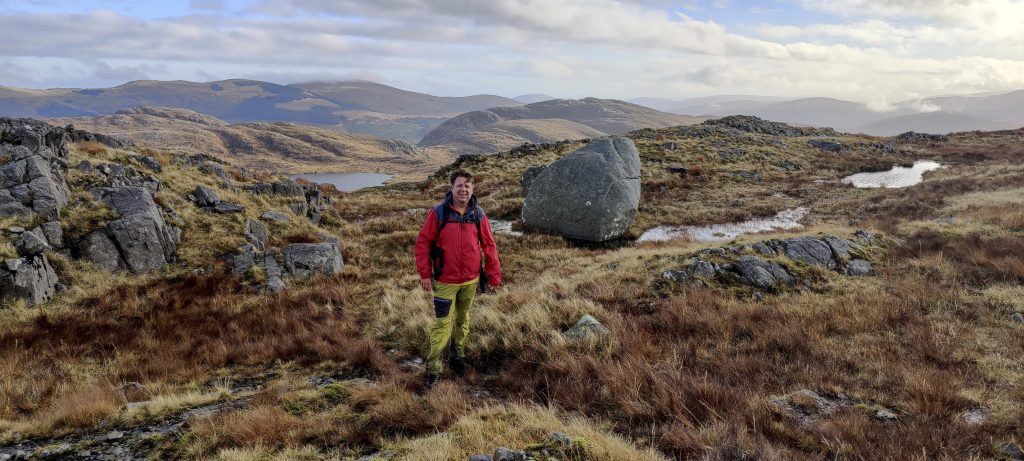
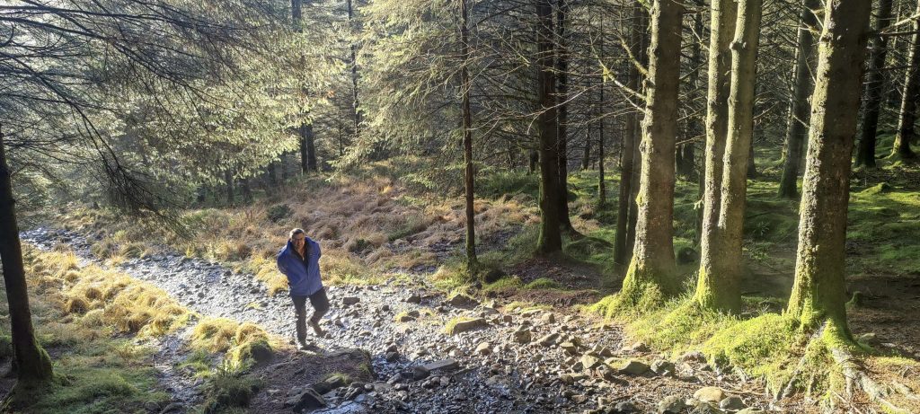
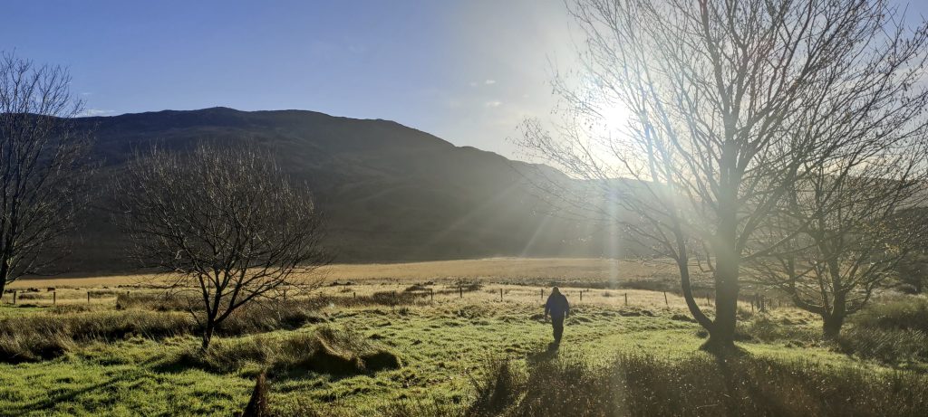
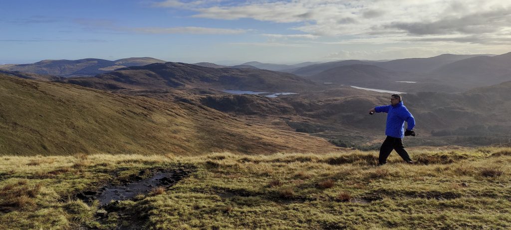
Arūnas and myself, descending

Mullwharchar high point in the right
Two female deer on the way to Mullwharchar
Approaching Mullwharchar
Cairn at Mullwharchar highpoint

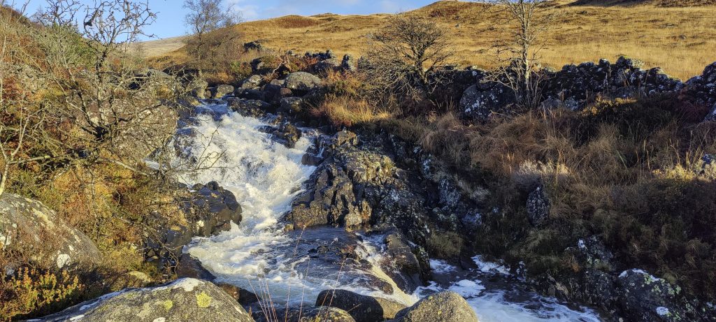
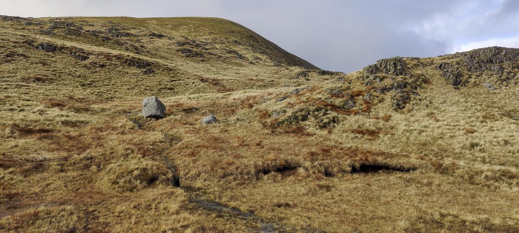
The day is drawing to a close, so Dungeon Hill and Craignaw are skipped. We traverse the slopes and head more or less in a straight line towards where we left the car. Of course, we have to take into account the landscape, the scree, the lakes, and at least one major stream between the lakes. We managed to cross it without getting wet, but if there had been a bit more water, we would have had to wade.

On the way back
The lake isn’t getting any closer
Wet, wet, wet

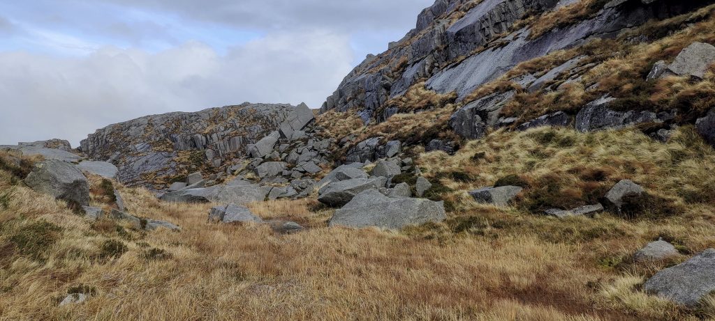
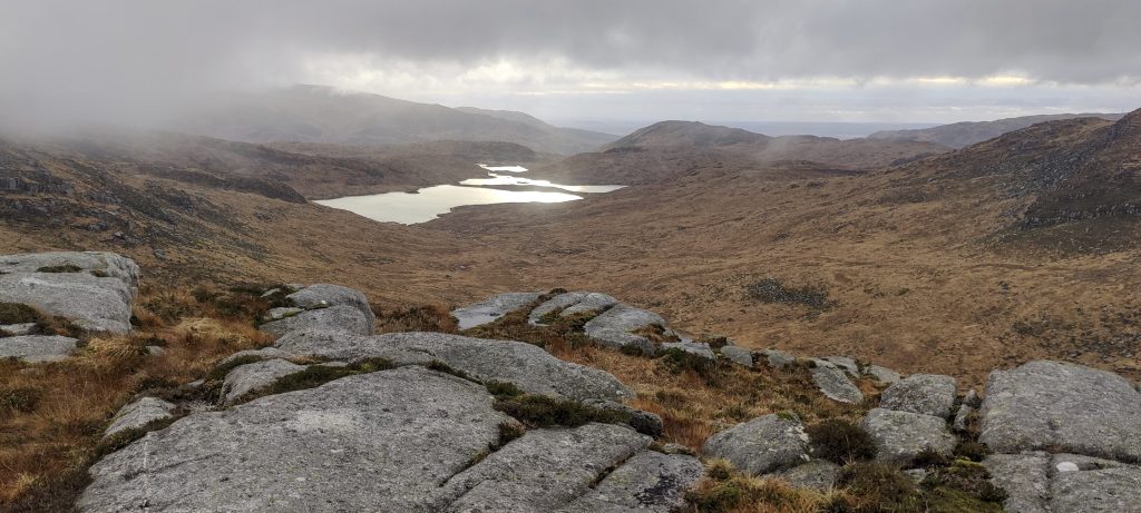
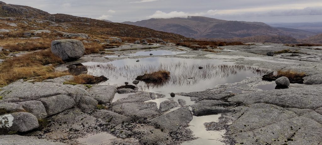
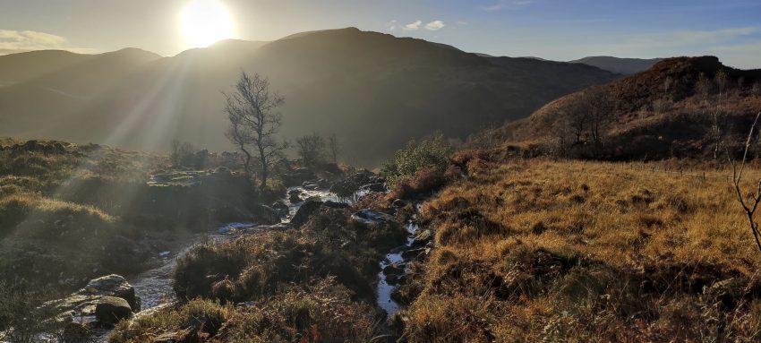
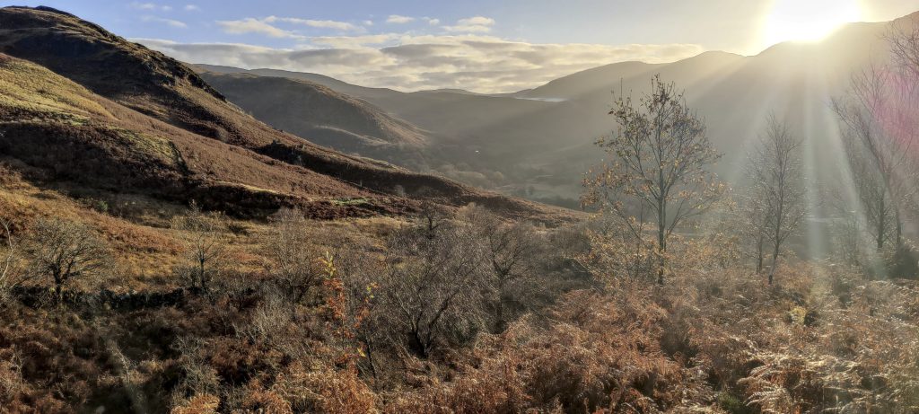
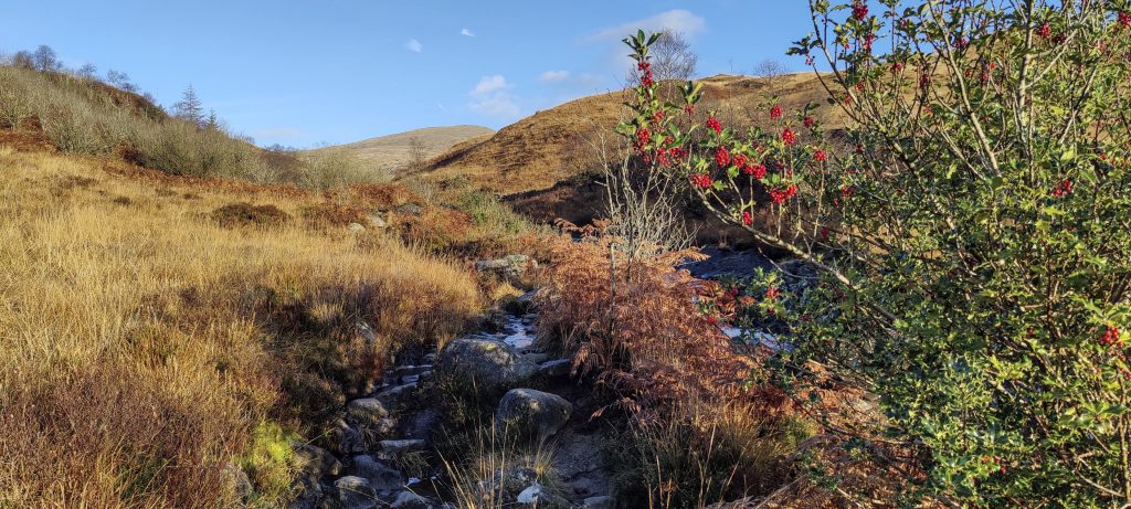
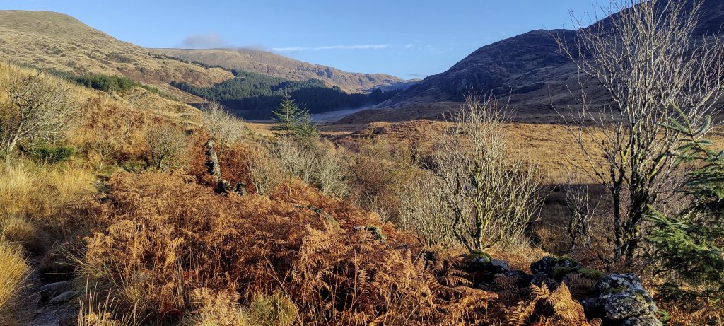
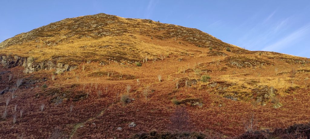
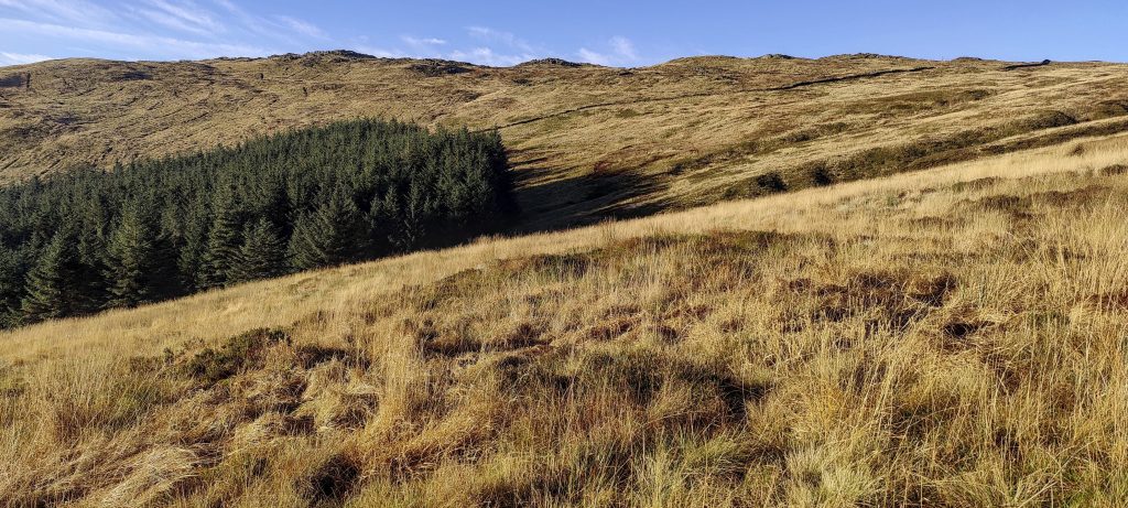
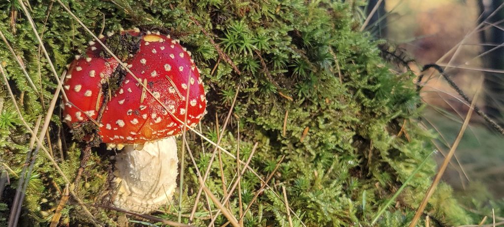
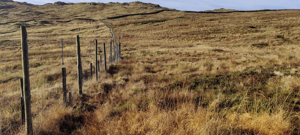
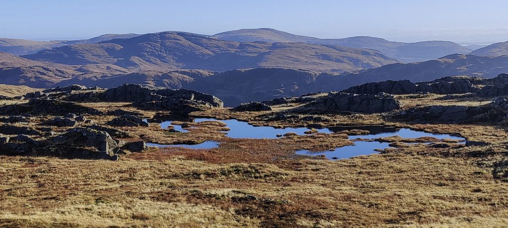
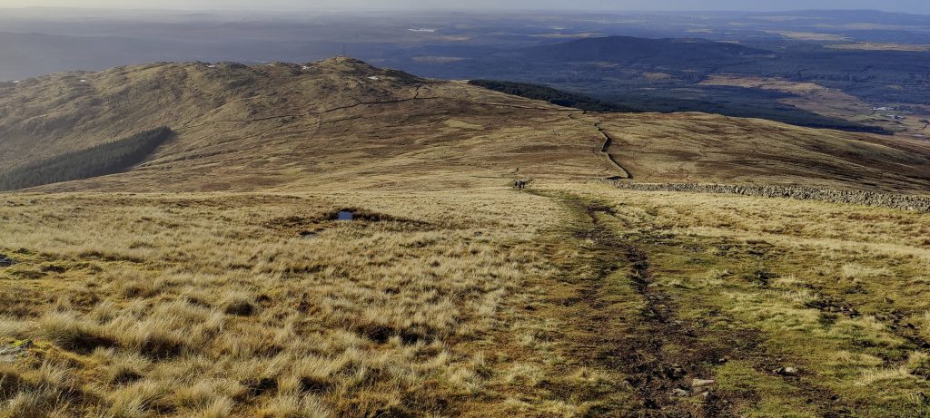
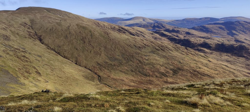
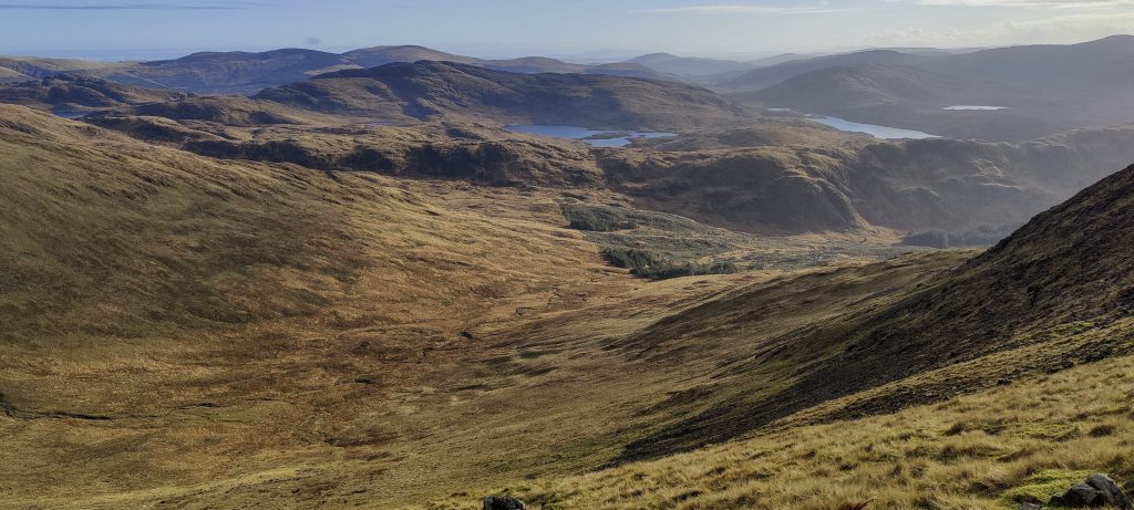
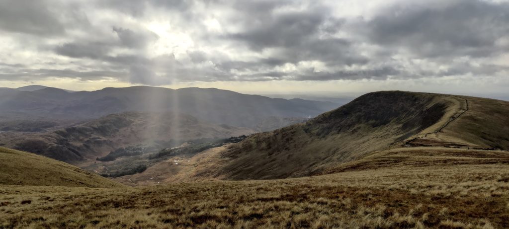
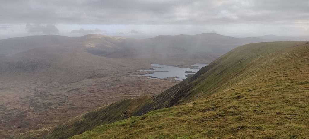
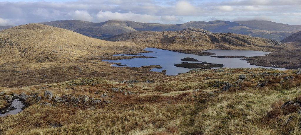
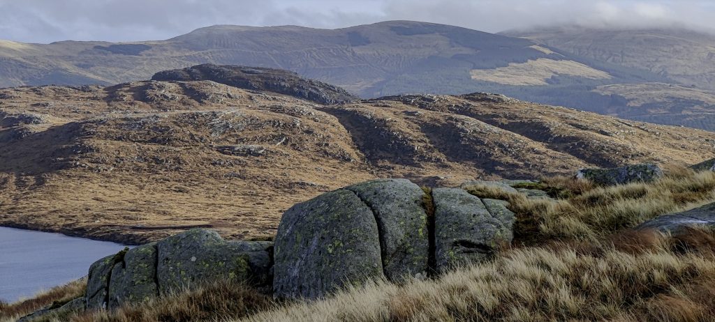
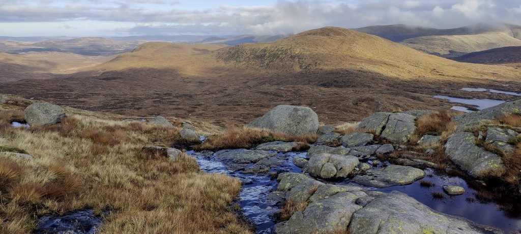
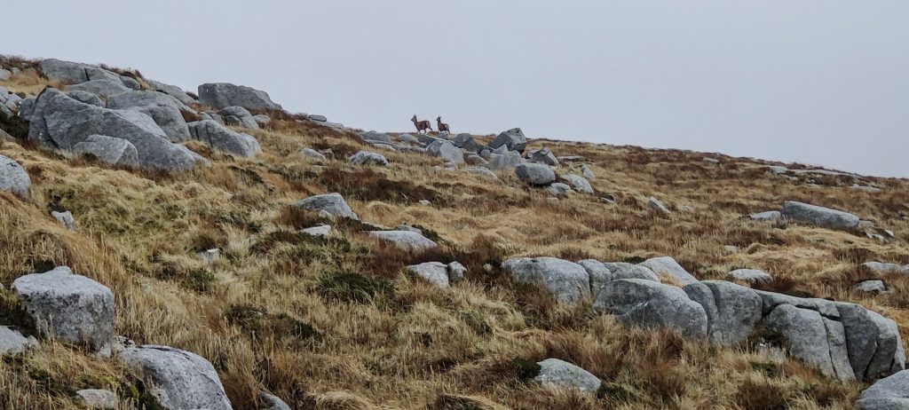
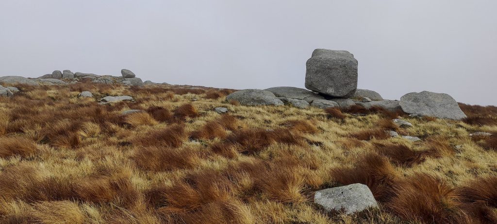
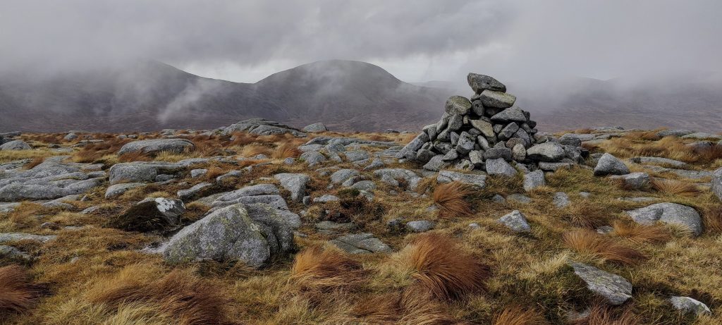
A few more en route views

Finally, the lake is in sight, but it’s getting dark and there are more than a few miles to the car

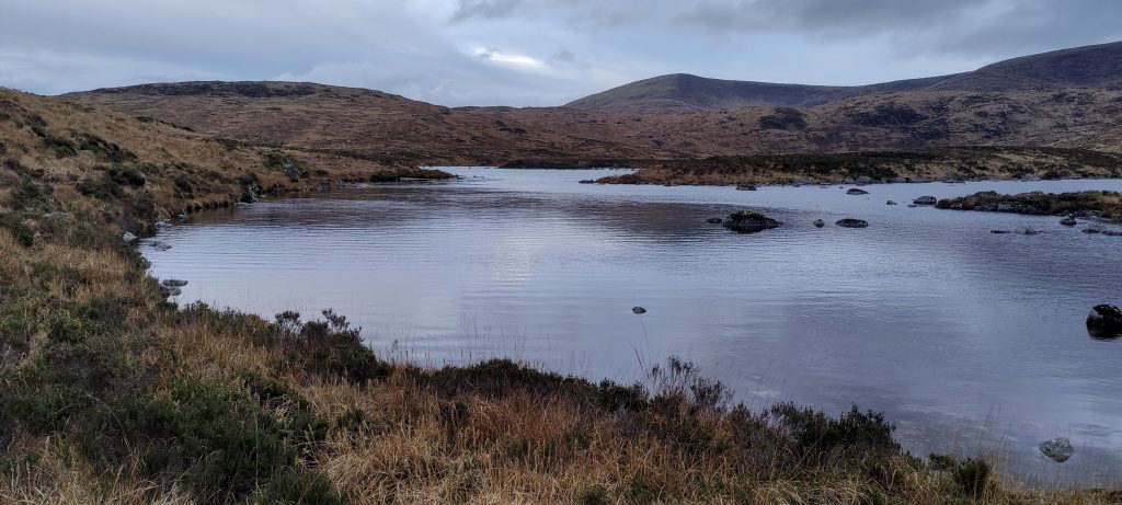
Because the sun sets early, we turn on our headlights and keep walking. From Loch Neldricken, there is a trail along a stream; it’s wet and there’s a lot of mud, but it’s still easier to walk on the trail than without it. Our clothes and shoes are completely wet; our trousers are half black, but we had a great day and a cool walk. Back to Carlisle and a leisurely climb up Broad Law tomorrow.


Merrick 843 m altitude
705 m prominence
Ranges Europe - Northwest Europe - Great Britain
Countries/regions United Kingdom – Scotland
Distance 9.60 km up 13.00 km down
Elevation 819 m gain 819 m loss
Time
3h00 up
0h10 other
6h00 down
9h10 total
Trailhead 123 m altitude 55.0931660, -4.4838330
Difficulties

at descent on the SE was hard to follow trail

Links GPX trail
  • « Barr Beacon
  • Broad Law »

Mountain Ranges

Anatolia
Taurus Mountains
Western Anatolia
Andes
Puna de Atacama
Atlas Mountains
High Atlas
Northwestern Atlas
Central America Ranges
Costa Rica-Panama Ranges
Central Central America
Eastern Europe Ranges
Southeast Baltic Plains
Iberian Peninsula
Cordillera Cantabrica
Castile Ranges
Portugal-Galicia
Pyrenees
Malay Archipelago
Java
Nusa Tengarra
Sulawesi
Sumatra
Northwest Europe
Great Britain
North France-West Rhine Area
Southeast South America
Pampas
Sierras de Cordoba
West Africa Mountains
Bight of Benin
Cameroon Mountains

Countries / regions

Algeria
Ain Guezzam
Ain Salah
Aïn Témouchent
El Bayadh
Ghardaïa
Oran
Ouargla
Saïda
Sidi Bel Abbès
Tamanrasset
Argentina
Catamarca
Ciudad Autónoma de Buenos Aires
Córdoba
Jujuy
Salta
Tucumán
Belgium
Brussels Capital Region
Flemish Region
Cameroon
Southwest
Costa Rica
Alajuela
Cartago
Guanacaste
Heredia
Limón
San José
Czechia
Prague
Denmark
Greenland
France
Hauts-de-France
Germany
Berlin
Niedersachsen
Indonesia
Bali
Jambi
Jawa Tengah
Jawa Timur
Nusa Tenggara Barat
Sulawesi Tengah
Sulawesi Utara
Sumatera Barat
Lithuania
Vilnius County
Morocco
Béni Mellal-Khénifra
Drâa-Tafilalet
Fez-Meknes
Marrakesh-Safi
Souss-Massa
Tangier-Tetouan-Al Hoceima
Netherlands
Gelderland
Noord-Holland
Zeeland
Nicaragua
Chinandega
Managua
Masaya
Rivas
Poland
Greater Poland Voivodeship
Masovian Voivodeship
Portugal
Castelo Branco
Leiria
Lisbon
Santarém
São Tomé and Príncipe
São Tomé Province
Spain
Aragón
Asturias
Castilla-La Mancha
Castilla y León
Switzerland
Zürich
Turkey
Antalya
Isparta
Muğla
United Kingdom
England
Scotland
United States
Delaware
Florida
Maryland
New Jersey
New York
South Carolina
Pennsylvania

TRIPS

2023
West Africa II 2023
Iberian Peninsula 2023
West Africa 2023
Central America 2023
2022
Andes 2022
Northwest Europe 2022
Malay Archipelago III 2022
Malay Archipelago II 2022
Anatolia Mountains 2022
Iberian Peninsula 2022
Atlas Mountains 2022
North France-West Rhine Area 2022

archaeology (3) climb (72) food (2) hike (71) p30 (6) p100 (9) p300 (8) p600 (13) p1000 (5) p1500 (34) ribu (4) sight (35) summary (11) ultra (34)

843 km walked, 65 330 m climbed

©2023 p600.org | WordPress Theme by Superbthemes.com