Skip to content
Menu
p600.org
  • home
  • map
  • trips
  • about
p600.org

Pico Boa Entrada

hike | 2023-02-05

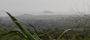
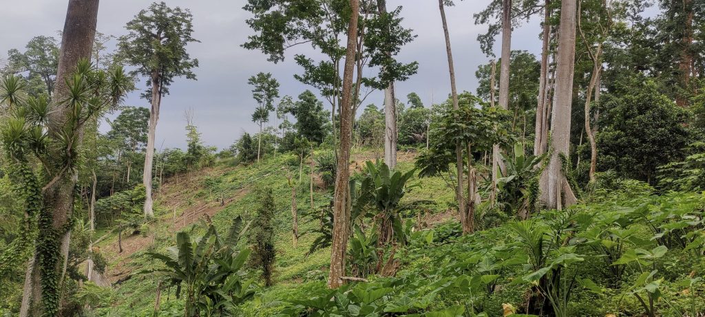
Today is a short day and we have to catch a flight home sometime this afternoon. We chose a couple of peaks within easy reach of the airport. The first was Pico Boa Entrada. It’s not very high, but it has a nicely shaped volcanic crater. Our first attempt to get close to the slope using a road map failed, so we switched to a topo map and got pretty close to the summit, but the road ended and we left our car in someone’s garden.

Good morning to the Boa Entrada village and football team!
We climbed up the steep grassy slope on the left side of the quarry.
Impressive giant roots (left)
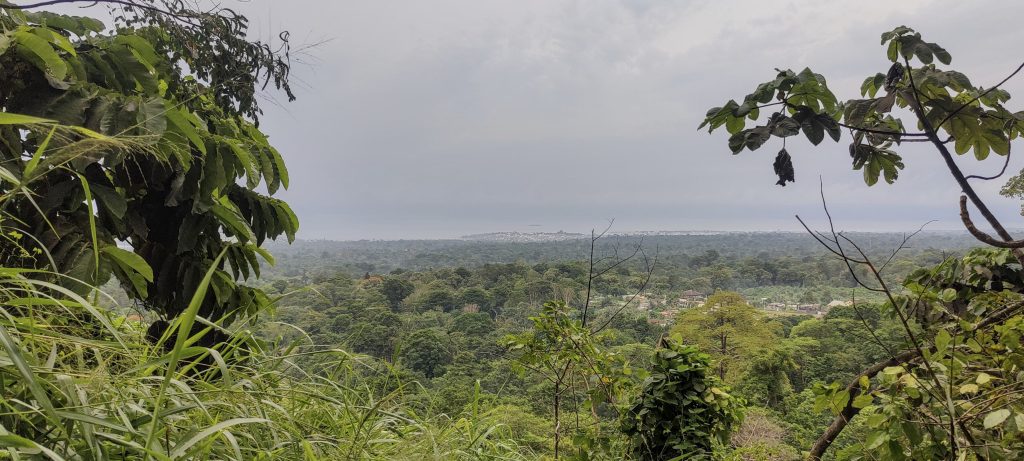
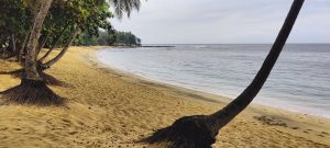
Less impressive sea views (right)

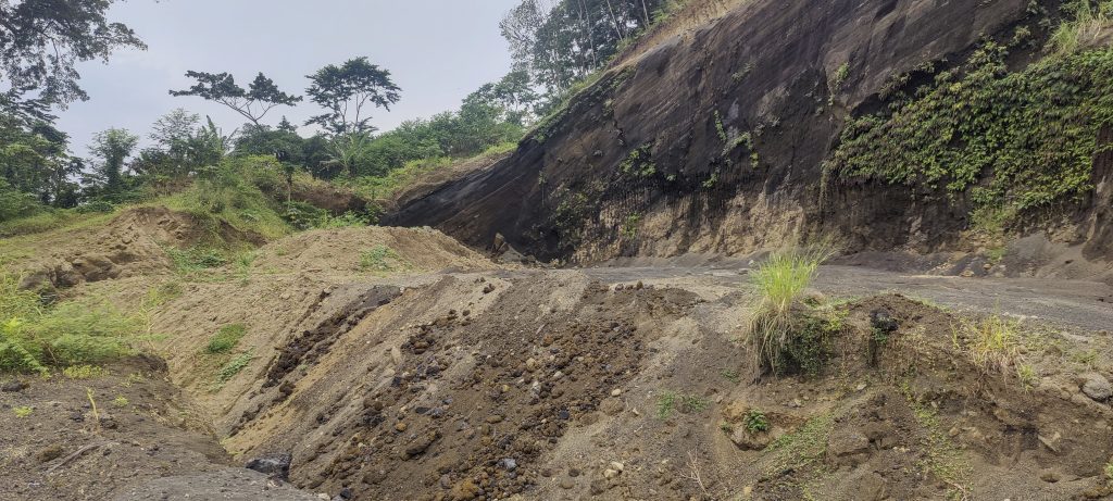
The guy from the house not only let us park, but escorted us to the trailhead. How nice! We walked along the dirt road and arrived at the quarry. Presumably the quarry guard (we assume) met us and, having understood our purpose, showed us where to go. Not bad, but not really a trail. The small inconvenience of navigating through the bush was more than made up for by the speed with which we reached the top.

Farming in the crater

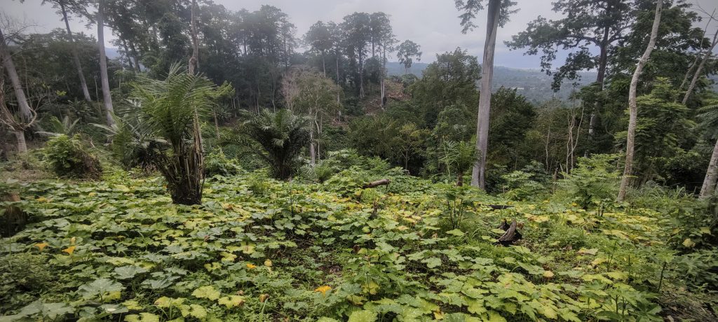
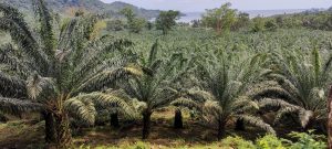
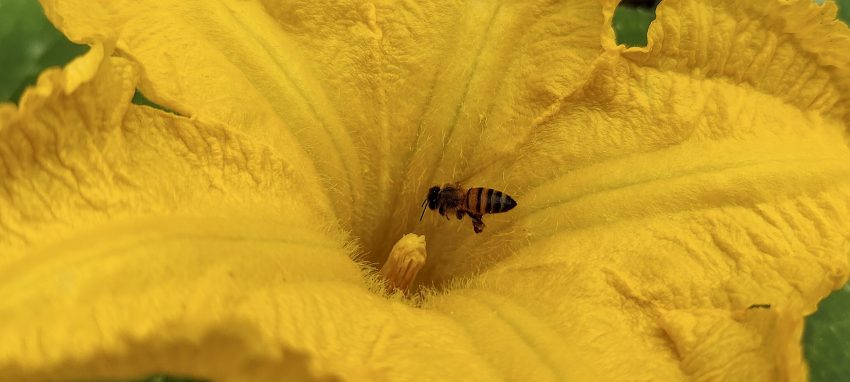
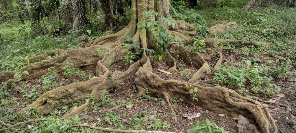
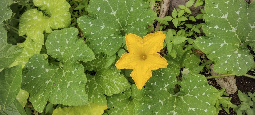
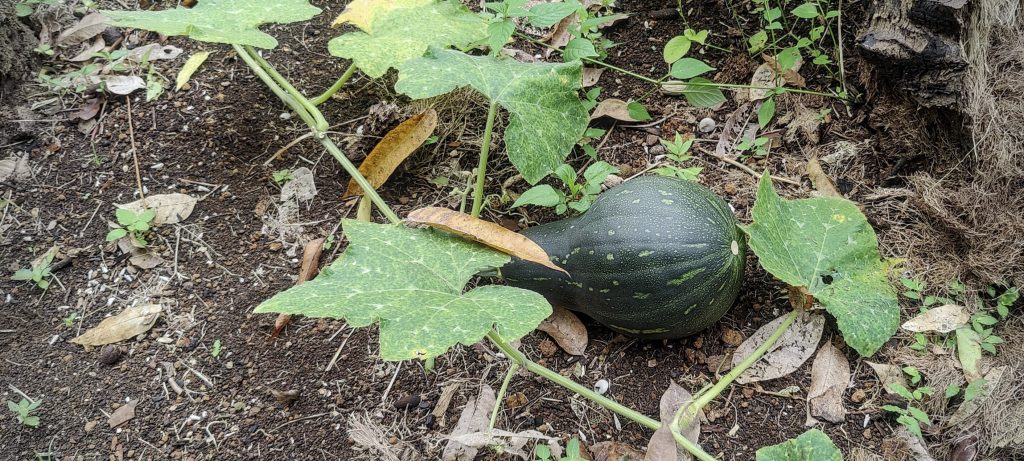
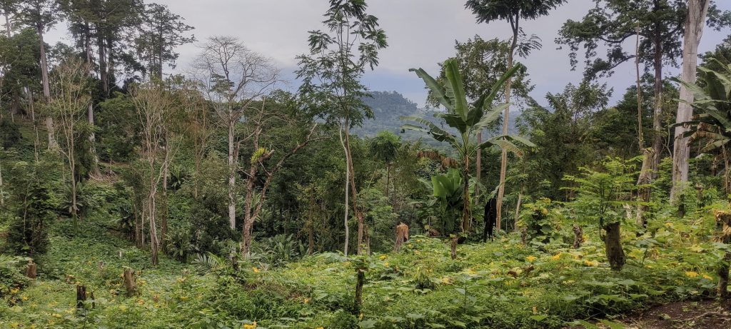
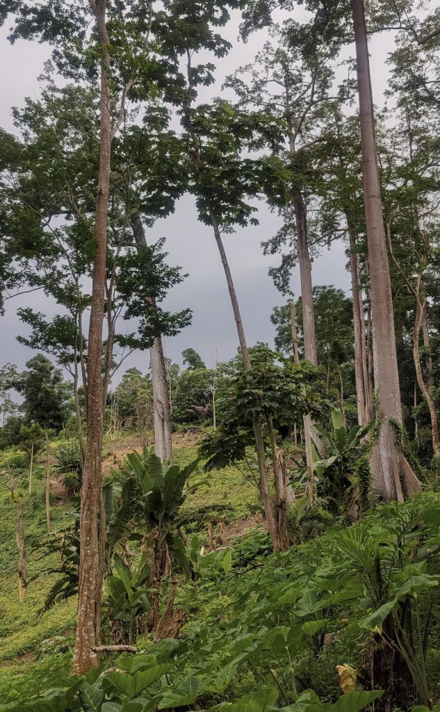
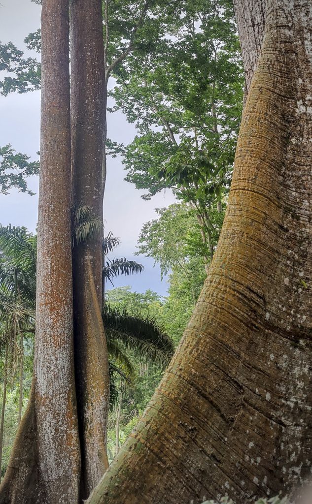
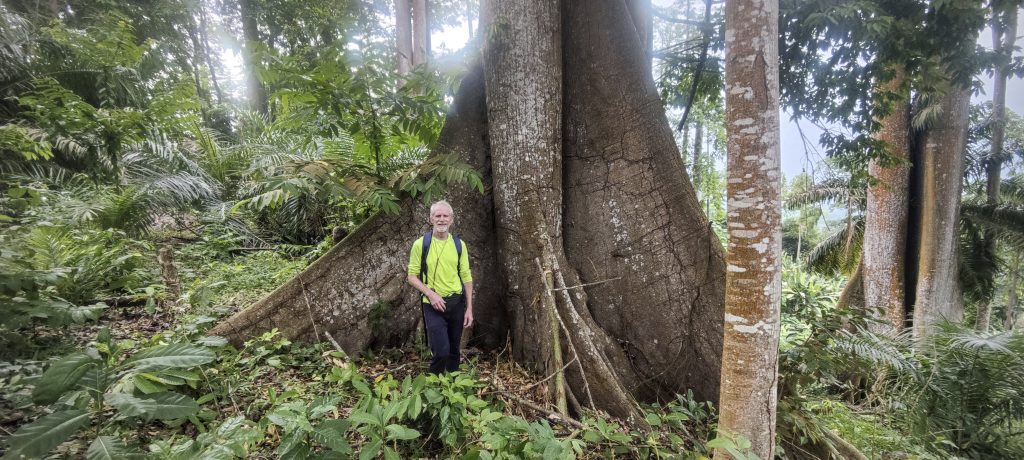
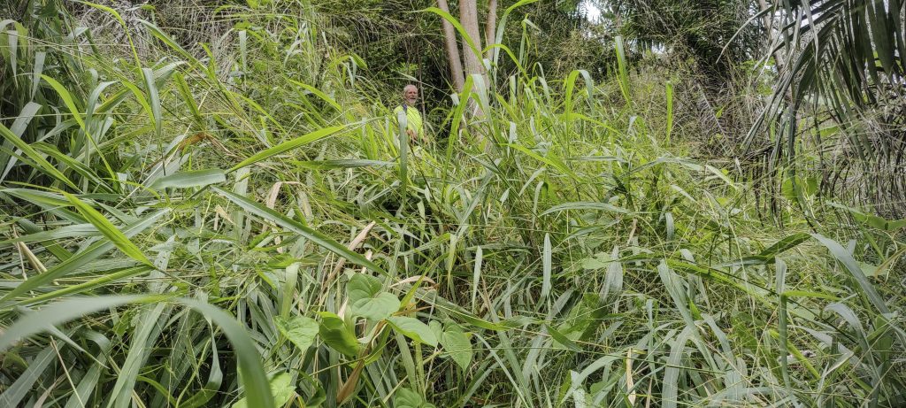
We found no markers on the summit, but across the crater we could see another candidate, which we confirmed was lower. It was a very short walk, but the scenery was incredibly impressive – huge trees, lots of pumpkins and giant plants covering the crater. On our way down we heard two sounds: someone talking nearby and thunder. Both got our attention. We greeted the locals and they were kind enough to show us a nice gradual path out of the crater, much better and more comfortable than our ascent had been.
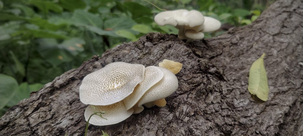
Tropical wild petunia (Ruellia brevifolia ??)
Momordica charantia, also known as bitter melon, Goya, bitter apple, bitter gourd, bitter squash
Squash Momordica charantia (left)
Fungi (right)
Very green summit
Tall and majestic trees thrive on the summit
View from the crater towards the summit
Level 1. Find Rob
Level 2. Find me
Level 3. Find Rob

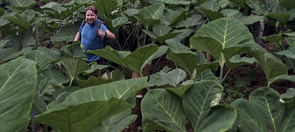
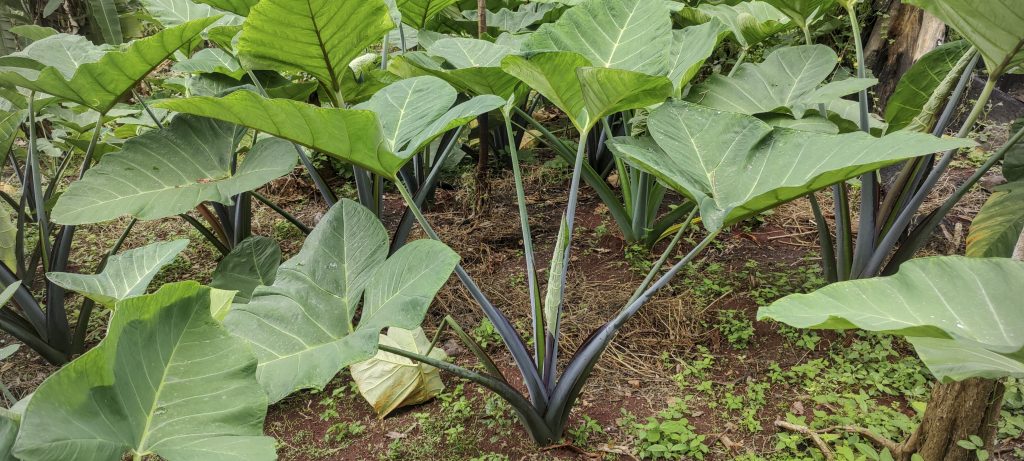
Xanthosoma sagittifolium, also known as arrowleaf elephant ear, arrowleaf elephant’s ear, malanga or American taro, is a tropical plant.

Thunder rumbled again and again and soon we were caught in a typical tropical storm. There was no need to hurry as we were soaked within the first few minutes. New experiences are always welcome and we had one. We witnessed the closest breadfruit ever to fall from a tree. A couple of kilos of fruit fell right between Rob and me. One experience was enough.

Boa Entrada village
Interesting remnants of the past era

Of course, we arrived at the car at the height of the rain and the rain seemed to slow down later on. We only had to clear a few branches from the road. We headed towards our next planned summit, Muquinqui, hoping that the rain would stop. And we were right; half an hour later we were enjoying a walk in the fresh and clear air after the rain.


Pico Boa Entrada361 m altitude
106 m prominence
RangesWest Africa Mountains - Bight of Benin
Countries/regionsSão Tomé and Príncipe - São Tomé Province
Distance2.10 km up2.40 km down
Elevation164 m gain164 m loss
Time
0h50 up
0h05 other
0h40 down
1h35 total
Trailhead166 m altitude0.3527490, 6.6608880
Route<p>We leave the car in the nearby village, cross the small stream over the bridge and walk along the local path. Then a short stretch of unpaved road, we could probably drive here. To the left of the quarry, a steep grassy and bushy slope leads up to the crater rim. The forest on the rim is not very thick. On the way down we take the normal track to the north, as advised by the locals. Then back to the unpaved road and back to the village.</p>
Difficulties<p>We came through the quarry from the east side, not bad but not the best route. All the bushwhacking can be avoided by approaching from the north side.</p>
LinksGPX trail
  • West Africa 2023
  • « Cantagalo
  • Muquinqui »

Mountain Ranges

Anatolia
Central Anatolia
Pontic Mountains
Southeast Anatolia
Taurus Mountains
Western Anatolia
Andes
Puna de Atacama
Atlas Mountains
High Atlas
Northwestern Atlas
Central America Ranges
Costa Rica-Panama Ranges
Central Central America
East China
Taiwan
Eastern Europe Ranges
Southeast Baltic Plains
Iberian Peninsula
Cordillera Cantabrica
Castile Ranges
Portugal-Galicia
Pyrenees
Intermountain West
Great Basin Ranges
Korea-Amur Area
Taebaek Sanmae
Malay Archipelago
Java
Nusa Tengarra
Sulawesi
Sumatra
Mid-Atlantic Islands
North Atlantic Islands
Mongolia Ranges
Altai
Gobi Desert Ranges
Hangay Mountains
Northwest Europe
Great Britain
North France-West Rhine Area
Pacific Ranges
Cascade Range
Northwest U.S. Coast Ranges
Sierra Nevada
Central and Southern California Ranges
Philippines
Central Philippines
Luzon
Mindanao
Southeast Asia
Malay Peninsula
Southeast South America
Pampas
Sierras de Cordoba
Southern Africa
Malawi Highlands
West Africa Mountains
Bight of Benin
Cameroon Mountains
Guinea Highlands

Countries / regions

Algeria
Ain Guezzam
Ain Salah
Aïn Témouchent
El Bayadh
Ghardaïa
Oran
Ouargla
Saïda
Sidi Bel Abbès
Tamanrasset
Argentina
Catamarca
Ciudad Autónoma de Buenos Aires
Córdoba
Jujuy
Salta
Tucumán
Belgium
Brussels Capital Region
Flemish Region
Cameroon
Southwest
China
Taiwan
Costa Rica
Alajuela
Cartago
Guanacaste
Heredia
Limón
San José
Czechia
Prague
Denmark
Greenland
France
Hauts-de-France
Occitania
Germany
Berlin
Niedersachsen
Indonesia
Bali
Jambi
Jawa Tengah
Jawa Timur
Nusa Tenggara Barat
Sulawesi Tengah
Sulawesi Utara
Sumatera Barat
Lithuania
Vilnius County
Mongolia
Bayankhongor
Govi-Altai
Khovd
Omnogovi
Ovorkhangai
Ulan Bator
Zavkhan
Morocco
Béni Mellal-Khénifra
Drâa-Tafilalet
Fez-Meknes
Marrakesh-Safi
Souss-Massa
Tangier-Tetouan-Al Hoceima
Mozambique
Zambezia
Netherlands
Gelderland
Noord-Holland
Zeeland
Nicaragua
Chinandega
Managua
Masaya
Rivas
Philippines
Bicol Region (V)
Cagayan Valley (II)
Calabarzon (IV-A)
Central Luzon (III)
Cordillera Administrative Region
Davao Region
Metro Manila
Soccsksargen (XII)
Western Visayas (VI)
Poland
Greater Poland Voivodeship
Masovian Voivodeship
Portugal
Castelo Branco
Leiria
Lisbon
Madeira
Santarém
Qatar
Ad-Dawhah
São Tomé and Príncipe
São Tomé Province
Sierra Leone
Northern Province
Western Area
Singapore
South Korea
Gyeongsangnam-do
Seoul
Spain
Aragón
Asturias
Castilla-La Mancha
Castilla y León
Catalonia
Islas Canarias
Switzerland
Zürich
Turkey
Antalya
Bitlis
Erzincan
Hakkâri
Igdir
Isparta
Kahraman Maras
Muğla
United Kingdom
England
Scotland
United States
California
Delaware
Florida
Maryland
Nevada
New Jersey
New York
Pennsylvania
South Carolina
Utah

TRIPS

2024
Southern Africa 2024
Mid-Atlantic Islands 2024
North America 2024
Anatolia 2024
Korea-Amur Area 2024
East China 2024
2023
Mongolia Ranges 2023
Philippines 2023
West Africa III 2023
West Africa II 2023
Iberian Peninsula 2023
West Africa 2023
Central America 2023
2022
Andes 2022
Northwest Europe 2022
Malay Archipelago III 2022
Malay Archipelago II 2022
Anatolia Mountains 2022
Iberian Peninsula 2022
Atlas Mountains 2022
North France-West Rhine Area 2022

archaeology (3) climb (157) food (2) hike (155) p30 (17) p50 (4) p100 (24) p300 (12) p600 (17) p1000 (11) p1500 (76) ribu (10) sight (46) summary (16) trig (44) ultra (76)

1 591 km walked, 121 298 m climbed

©2025 p600.org | WordPress Theme by Superbthemes.com