Skip to content
Menu
p600.org
  • home
  • map
  • trips
  • about
p600.org

Mount Cameroon

hike | 2023-03-03

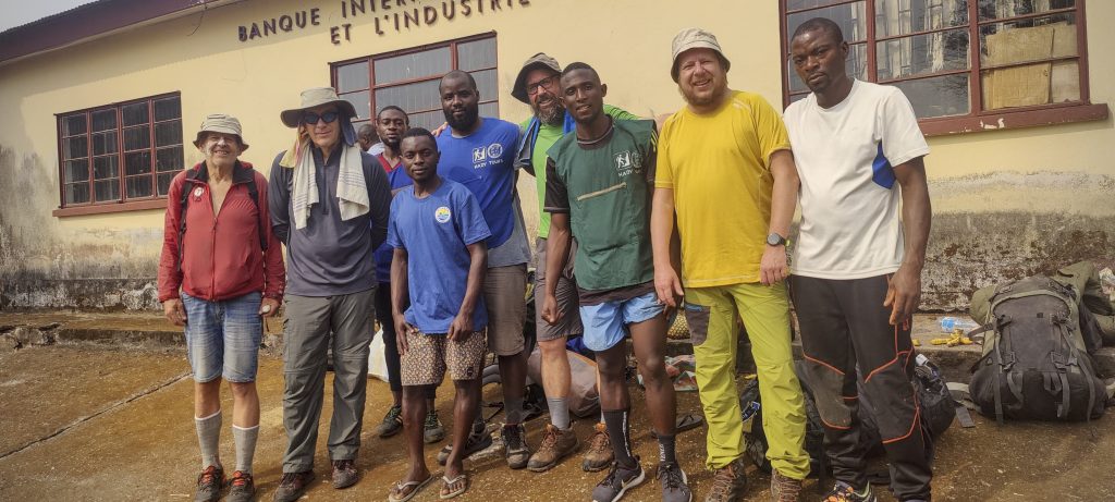
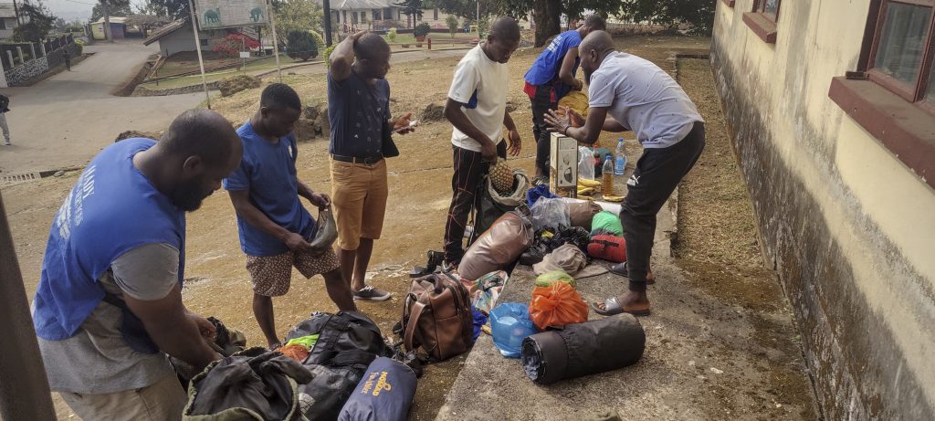
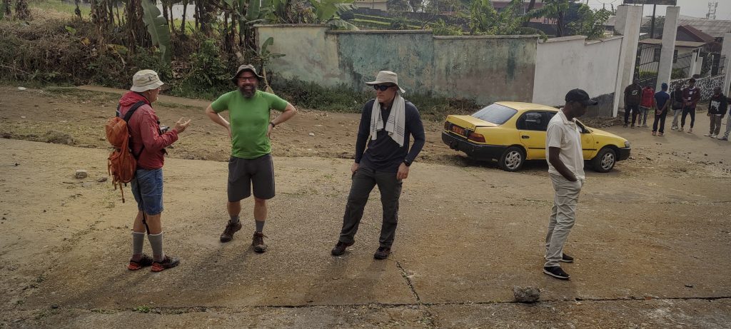
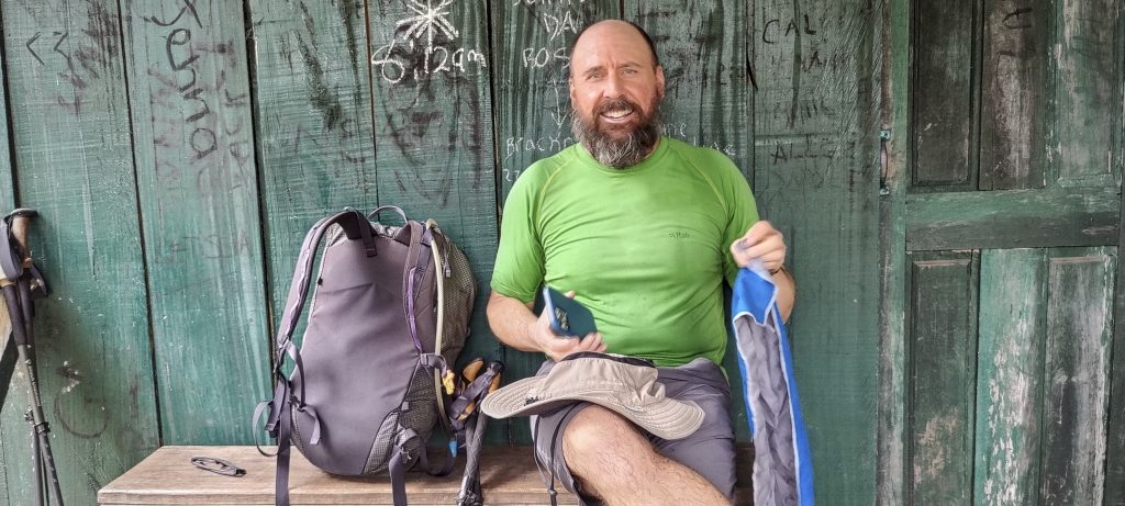
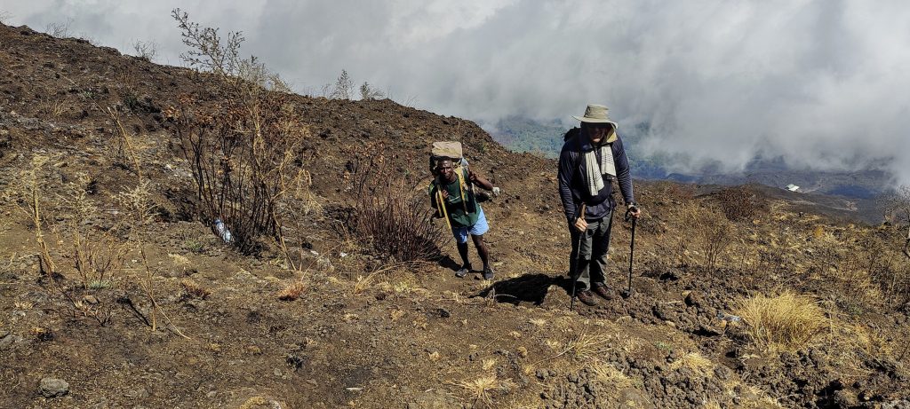
Mount Cameroon is an active stratovolcano, it is the 31st most prominent mountain in the world and the 4th in Africa. It is also the 22nd most isolated mountain in the world, and a country highpoint. In short – it is a very interesting peak, and of course worth all the bureaucratic effort. Peter, Dave, John and I met in the town of Buea, which is famous for its university and as the starting point for most people who want to climb Mount Cameroon. We were no exception; after breakfast at our hotel we met our guide, cook and porters. Within an hour we had packed and repacked items, and we were ready to climb.

  • Day 1. Start from Buea at 1012m and 6h00 climb to Hut 2 at 2844m.
  • Day 2. 4h15 ascent to the summit at 4040m, 2h15 descent to Hut 2 at 2844m.
  • Day 3. 3h00 Descend to Buea 1012m.
Team photo before climb
Local team preparing for trek
Petter, Dave, John (left to right) ready for the trek

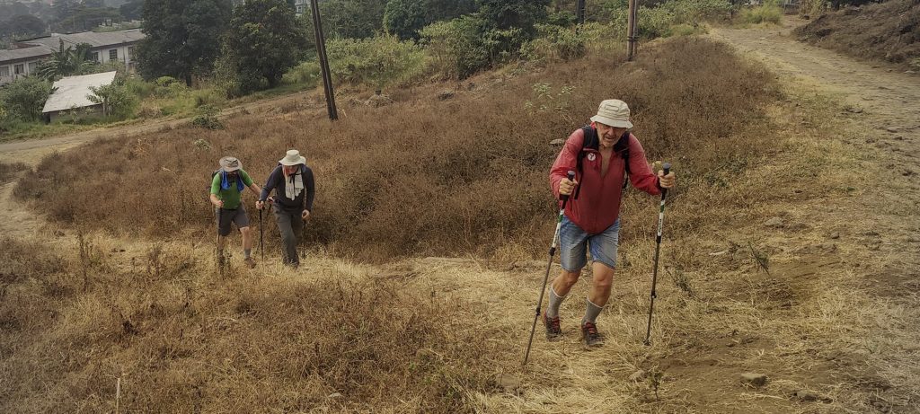
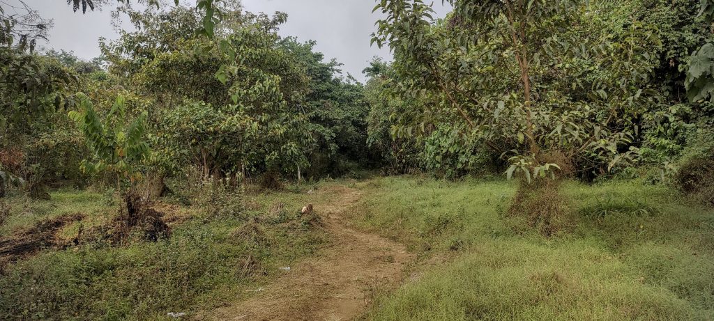
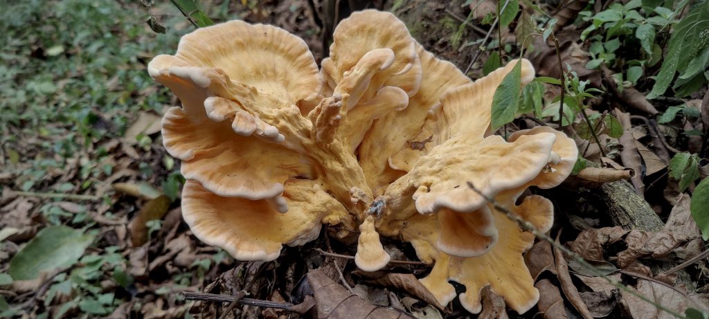
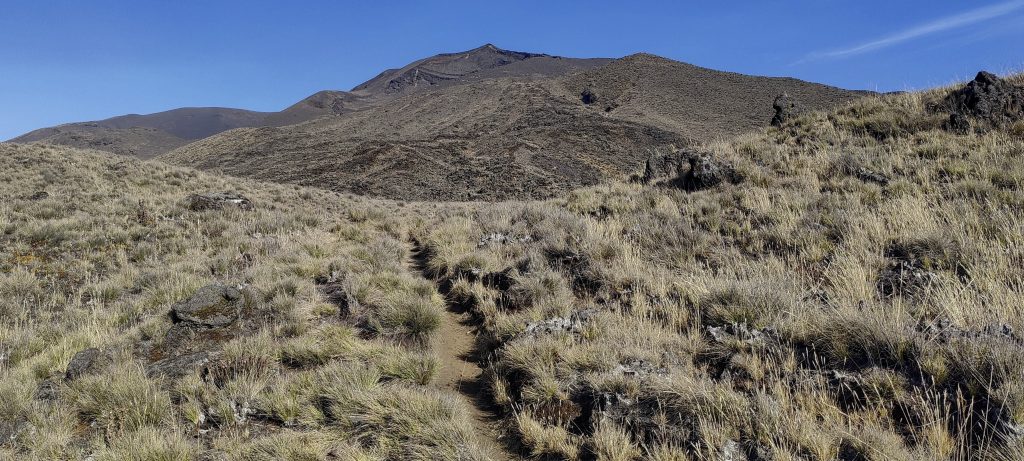
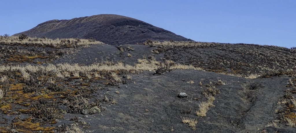
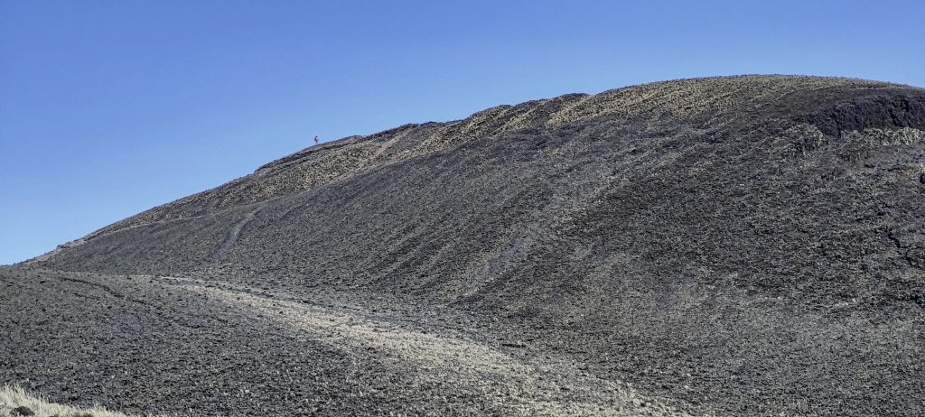
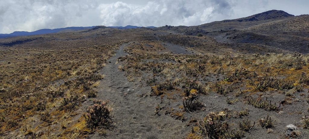
The path cuts through a serpentine road and passes next to the local prison. It crosses tomato fields, unfortunately it is out of season and the tomatoes do not look very attractive. Then the path enters the forest, but it is always wide and clear and not steep.

Getting started
Local prison
Tomato fields, but out of season
At the beginning, there is a very gradual path through the forest (left)
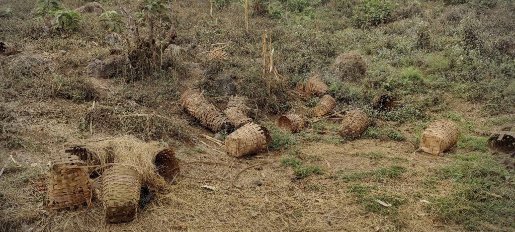
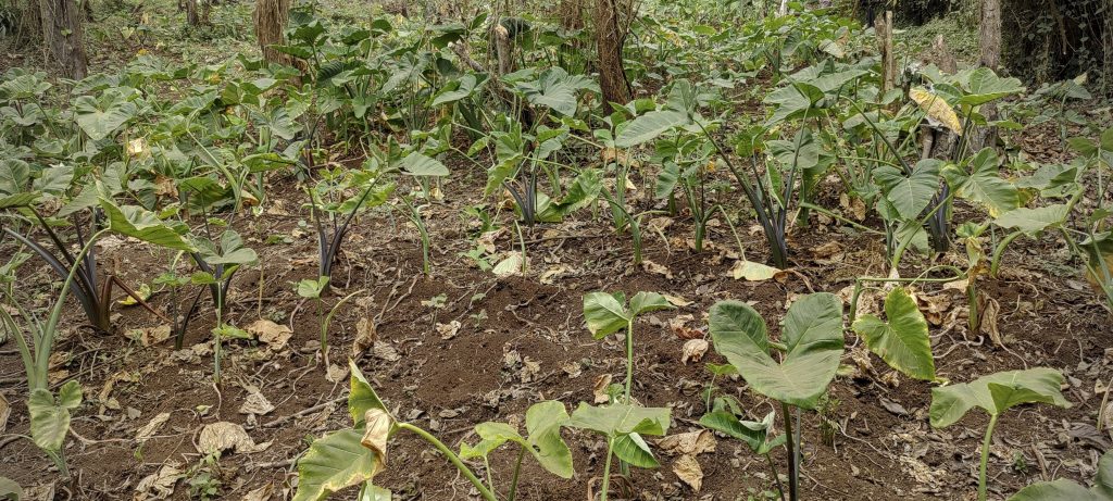
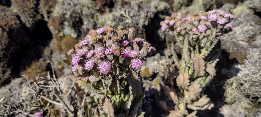
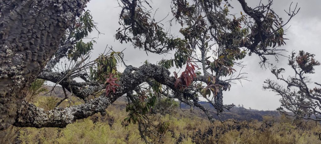
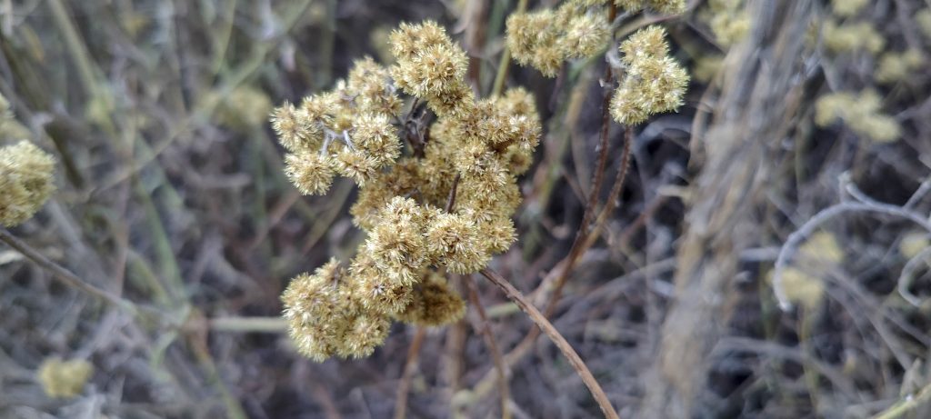
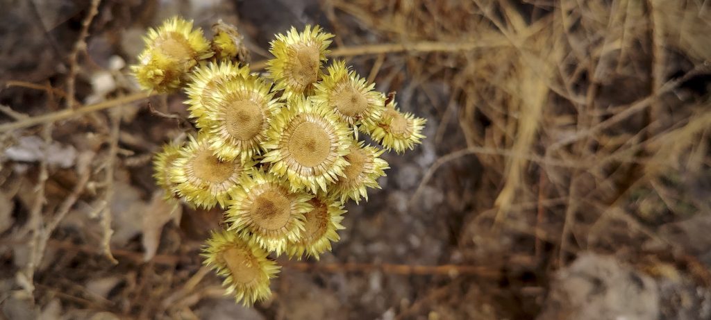
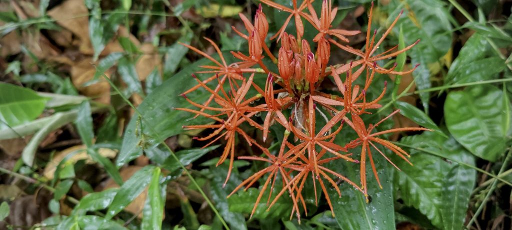
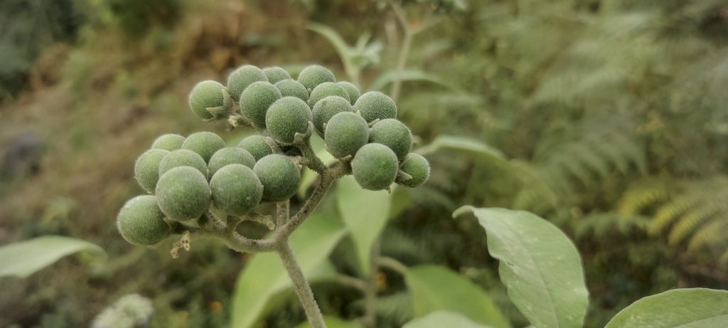
Elephant ears ?? (right)
Local people burning trees, presumably for agricultural purposes
Park entrance, a few metres above the village (left)
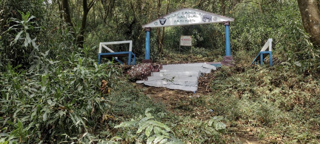
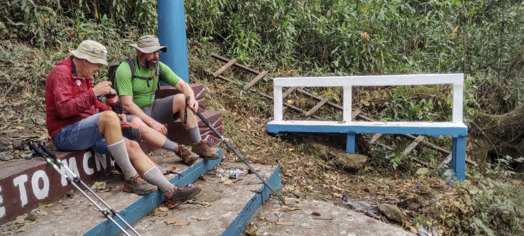
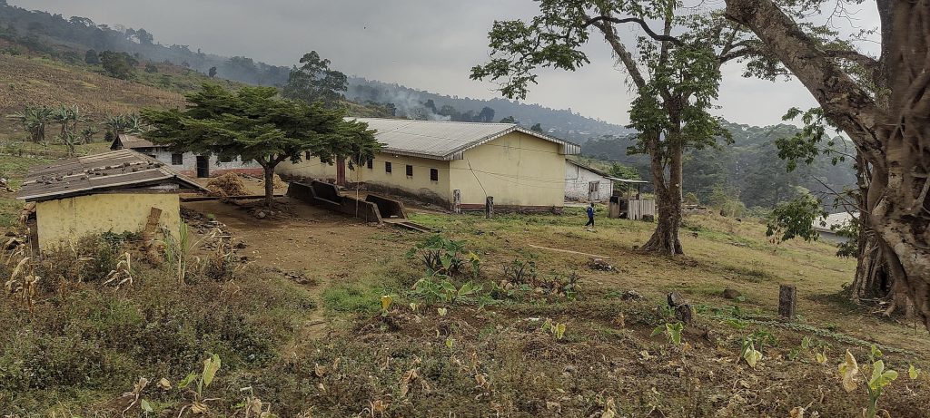
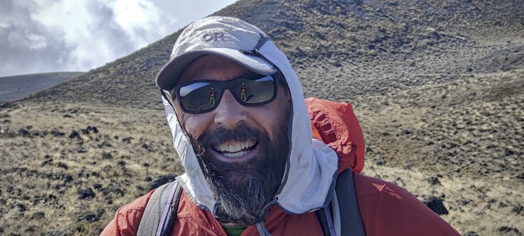
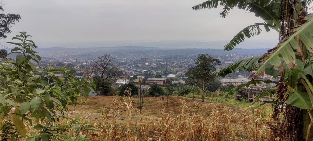
Petter and Dave at the park entrance (right)
Fungus

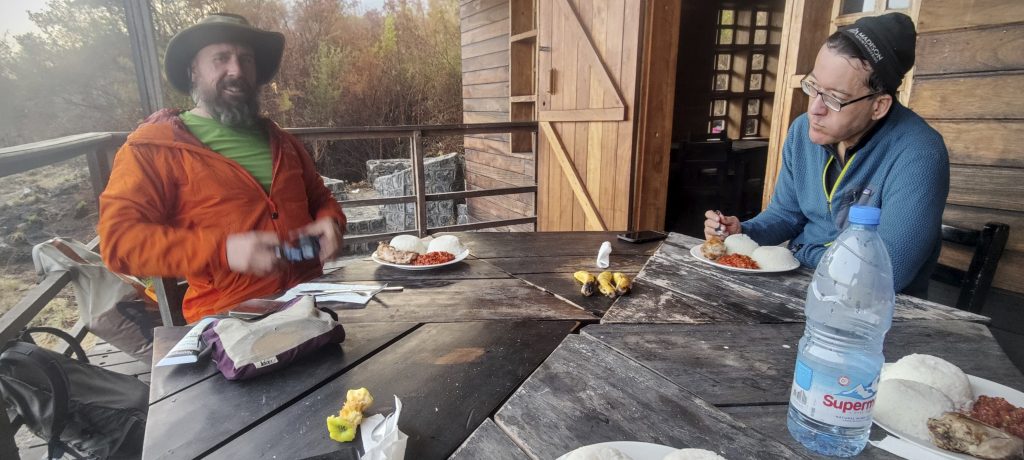
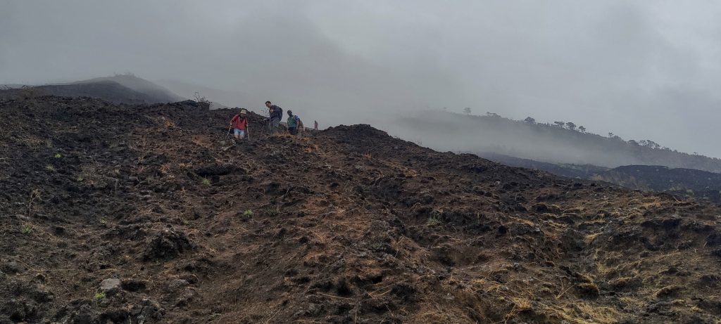
After a couple of hours we arrived at Hut 1. There were more people, some of whom acted like park rangers. They checked our papers with Smith and filled in some forms. Our original plan was to sleep here on the way back, but later we found the lodge at Hut 2 to be much more comfortable. After a short break and a small snack we continued to climb up to Hut 2.

Dave at the Hut 1
Views on the way up
Trail through burnt grassland
Leaving the tree line above 2000 metres
Old lava surface
Steep volcanic slopes
Smith and John approaching second Hut

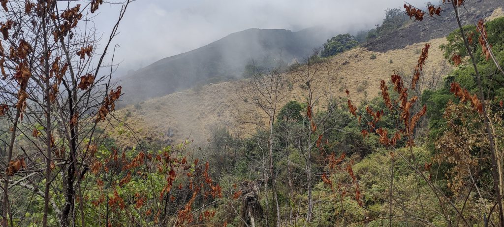
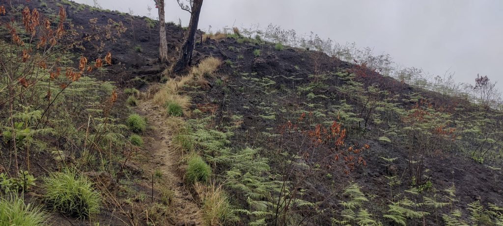
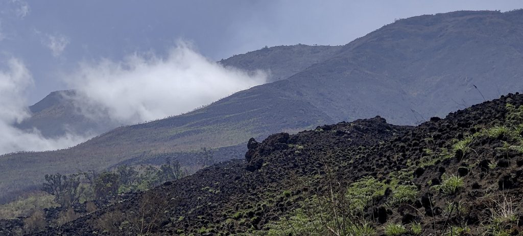
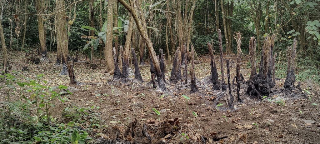
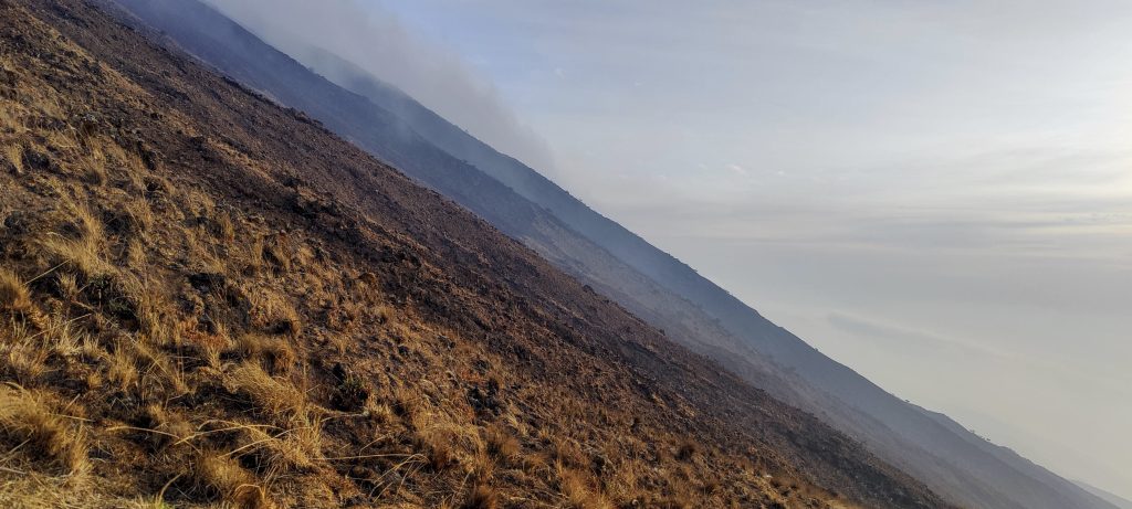
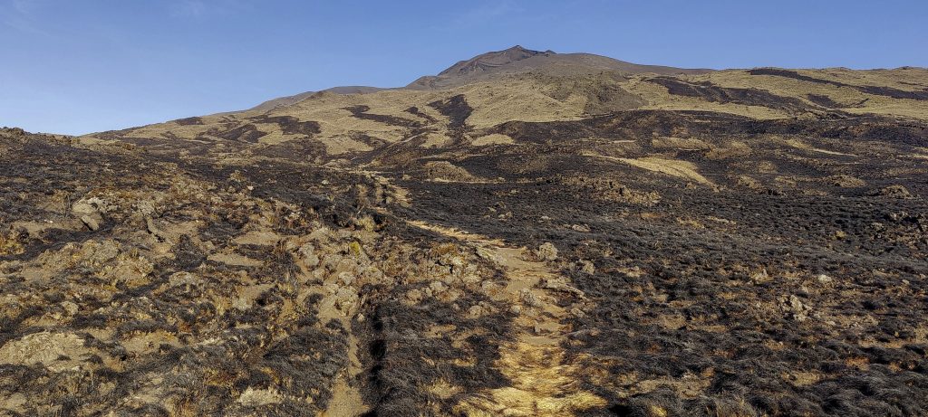
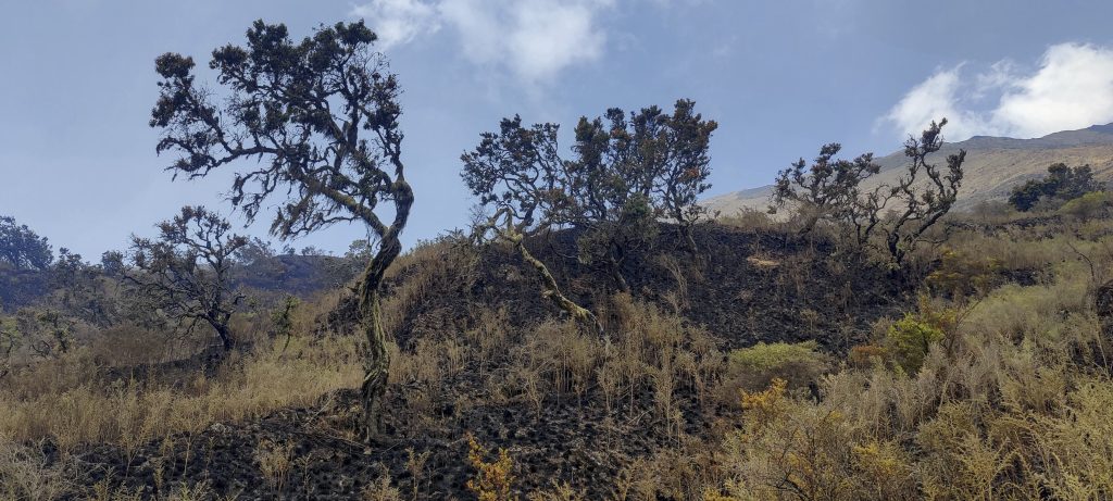
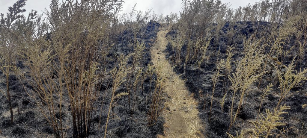
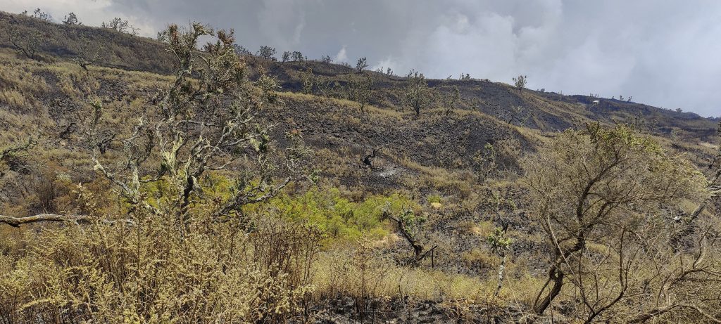
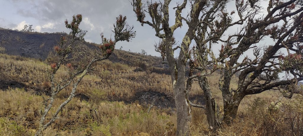
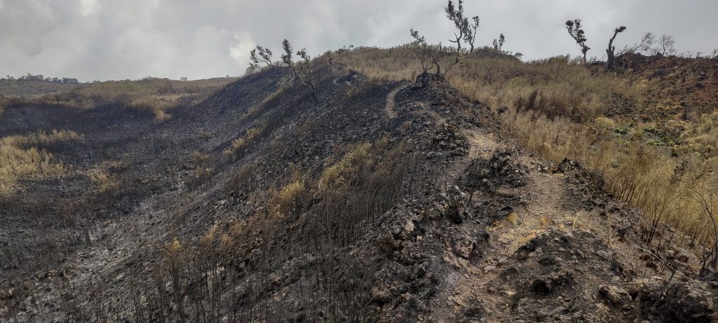
Hut 2 was a big surprise; none of us expected to find such a modern, attractive and comfortable lodge complex. Maybe ten or more wooden huts plus a main building with a restaurant and toilets with showers nearby. It was a nice surprise for the hikers who were expecting to sleep in tents. In the afternoon we started to worry about uncontrolled grass fires that were getting close to the huts, even reaching some of the houses on the edge. Locals had to cut down trees and bushes to stop the fire. After about an hour the situation calmed down and the nearby fire stopped and moved a few hundred metres away. Good, because for a few moments I thought we might have to leave the lodge.

Dave and John at Hut 2, we having dinner
Quite hot on approach
Cutting trees to save lodge
Fire enters lodge area
Fires a few hundred metres away at night
Dave and Smith at sunrise

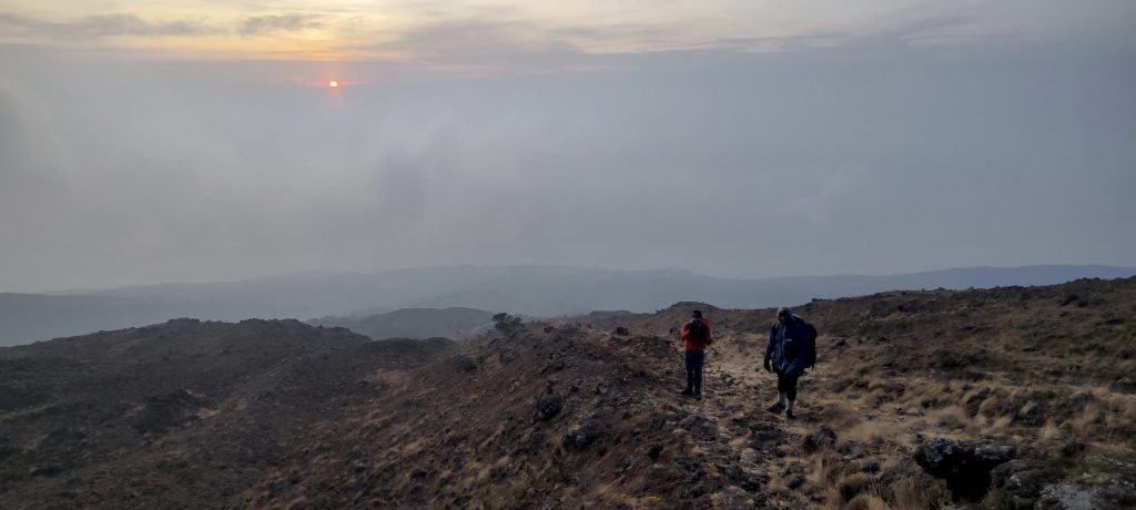
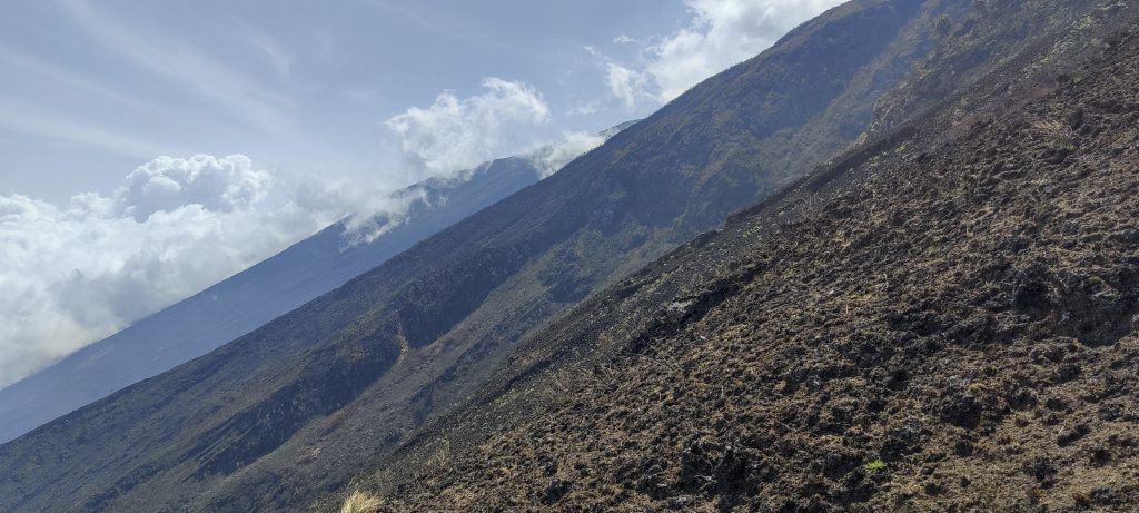
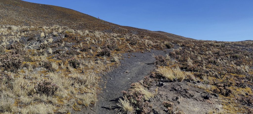
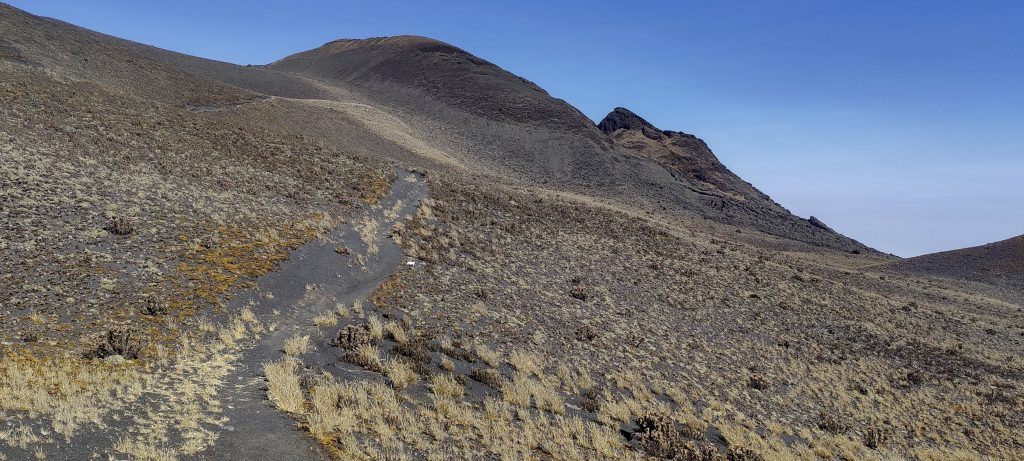
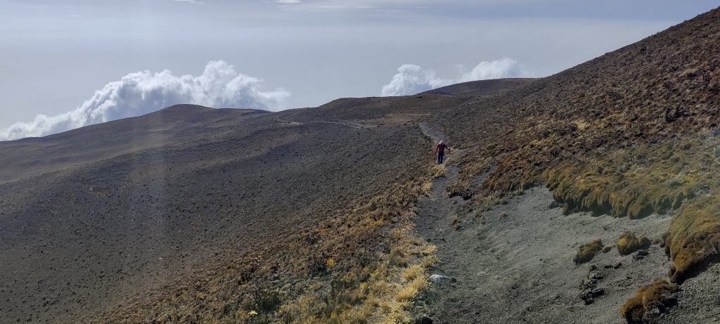
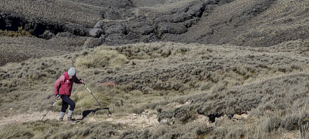
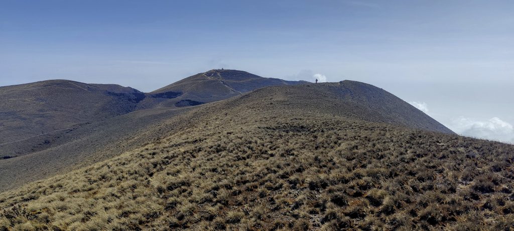
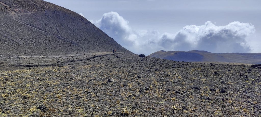
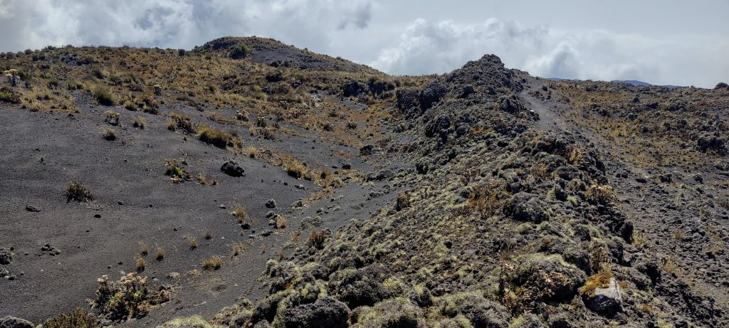
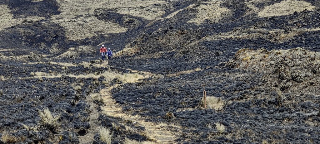
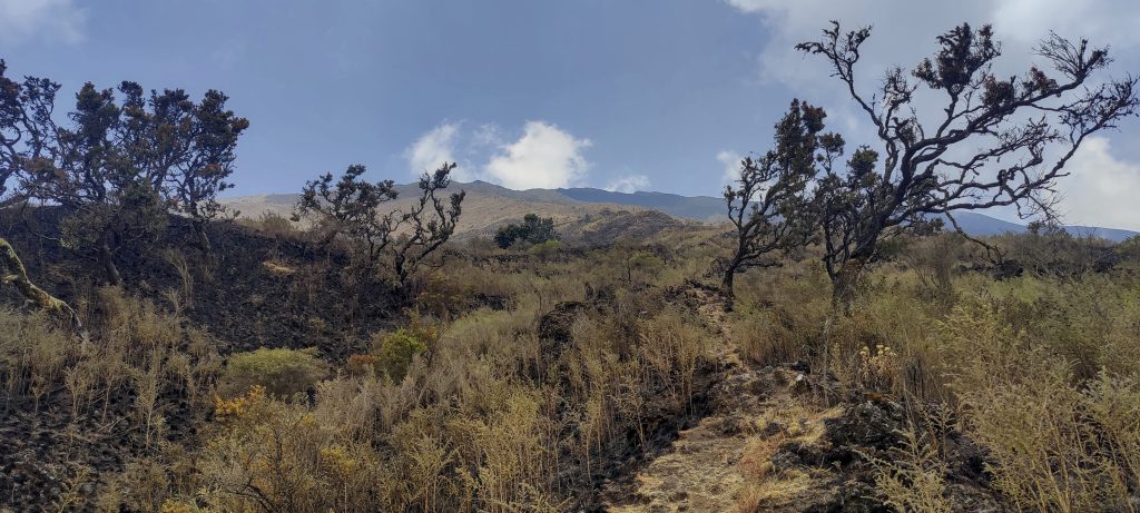
Half an hour before sunrise we get up, have breakfast and start our climb to the summit. The steepest part was yesterday, which gives us a bit of motivation. Once again, there is a good, visible path leading up to Hut 3 which is a simple structure with walls and a roof, but it can provide good shelter in harsh conditions.

John, Smith and Petter at sunrise
Trail is not as steep as the slopes around
Not quite the summit, but the peaks are finally in sight
Trail to the Hut 3
Views on the way up
Summit gets closer
Senecio purpureus ??

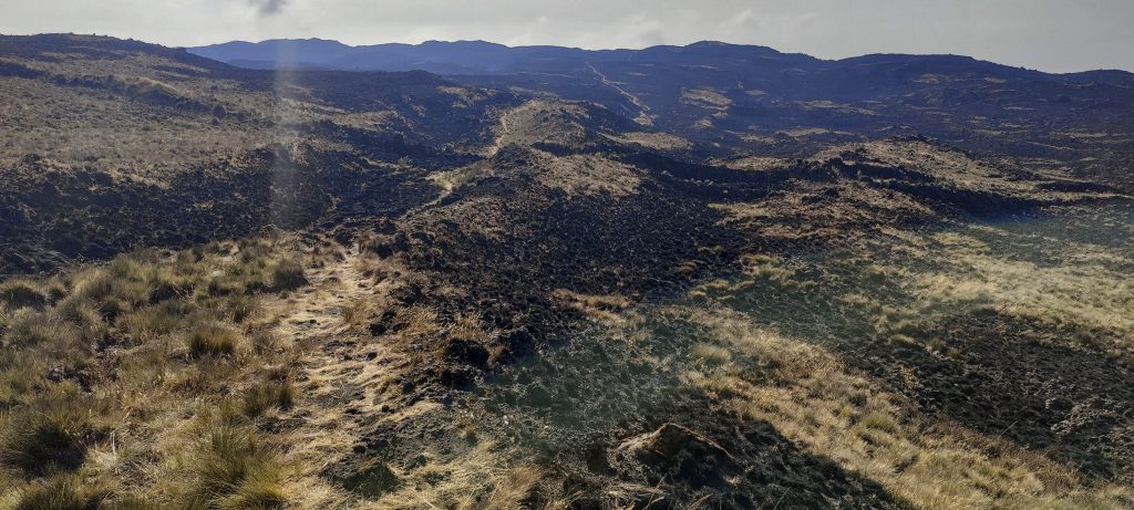
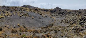
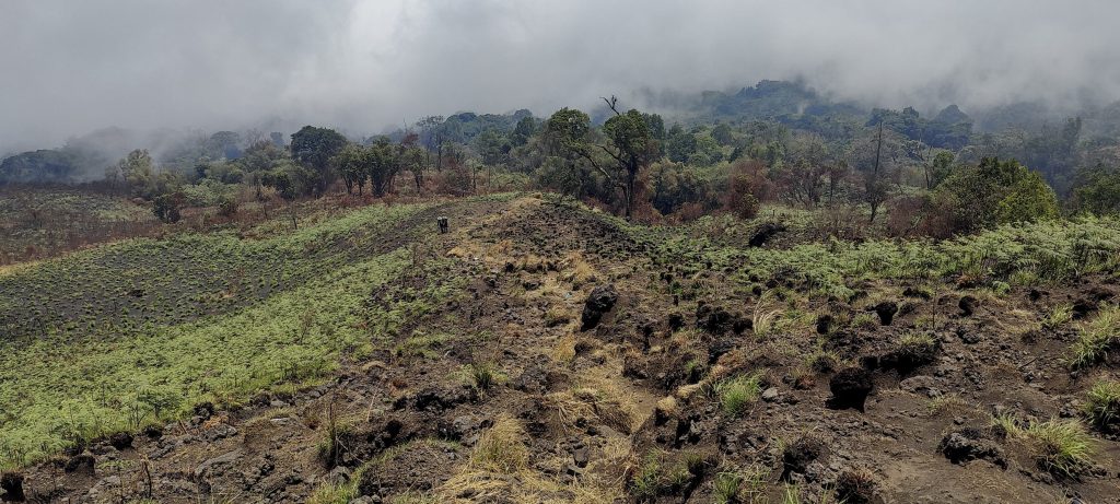
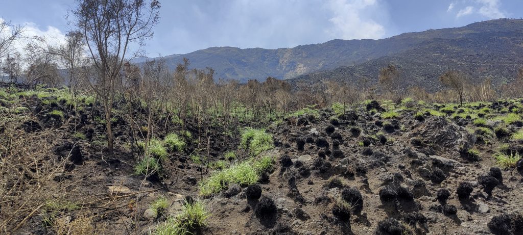
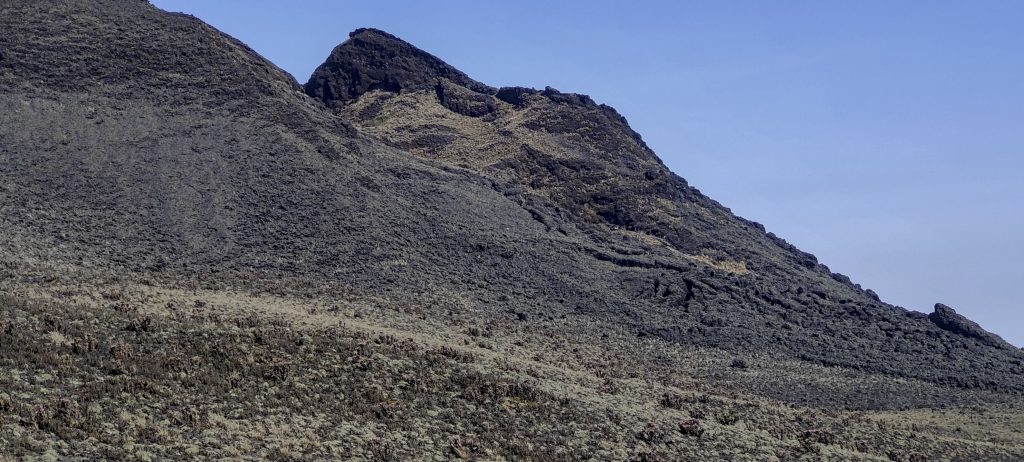
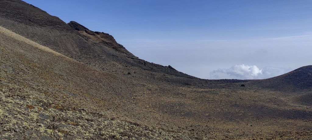
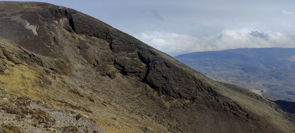
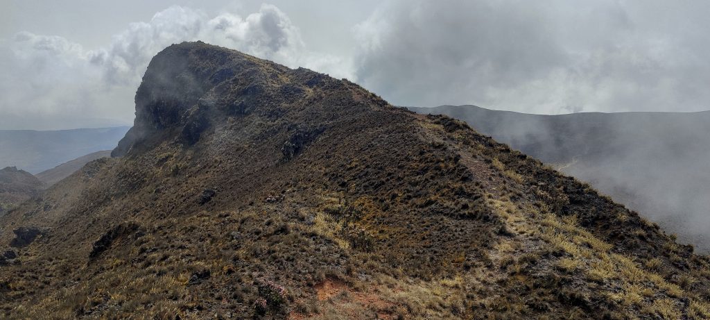
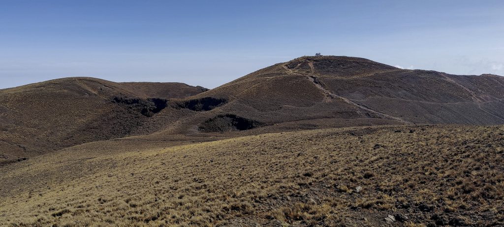
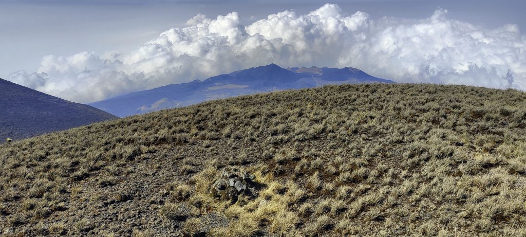
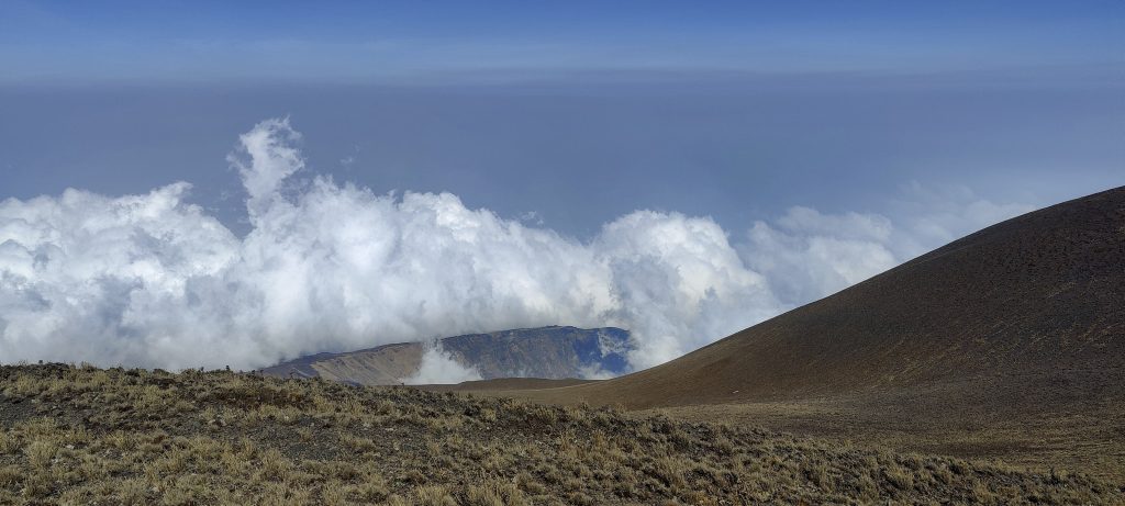
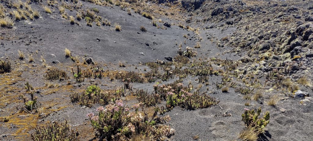
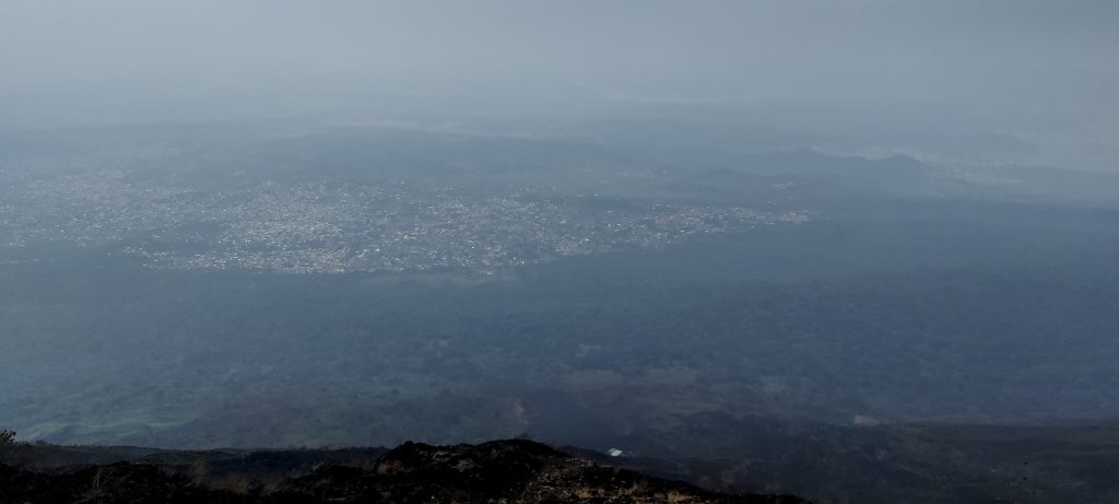
The last volcanic eruption was in February 2012, then the lava took a different direction. Nevertheless, the summit plateau is relatively flat and covered with volcanic sand. There is an open area with little vegetation, mainly grass. The path is not difficult to walk, despite the slight feeling of altitude. There are nice views all around and soon we could see the real summit.

Well visible path and small point on the ridge – Petter
Dave, John and Smith after the third Hut
The real summit is finally in sight
Last few hundred metres not difficult
Nearby peaks
Summit plateau
Dave approaching the final section
Lower summit, perhaps p100
Summit and Petter near it
Dave with my stereo selfie in the glasses
Lower southwest summit with Petter on it
So you never miss a summit

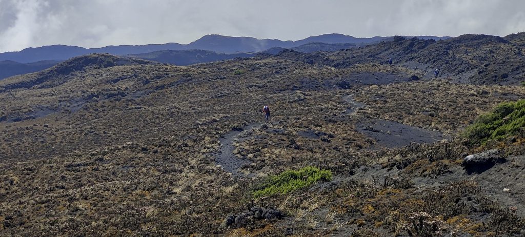
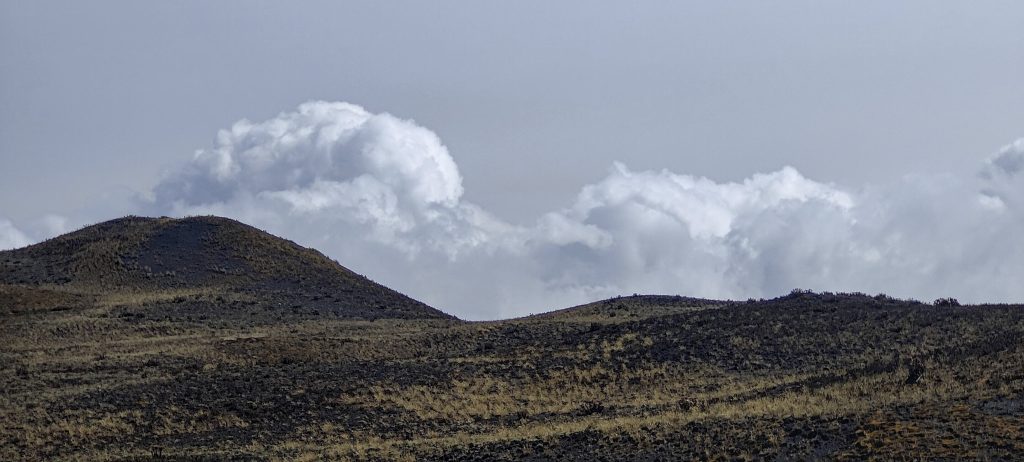
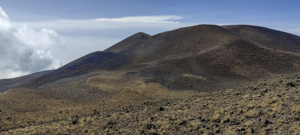
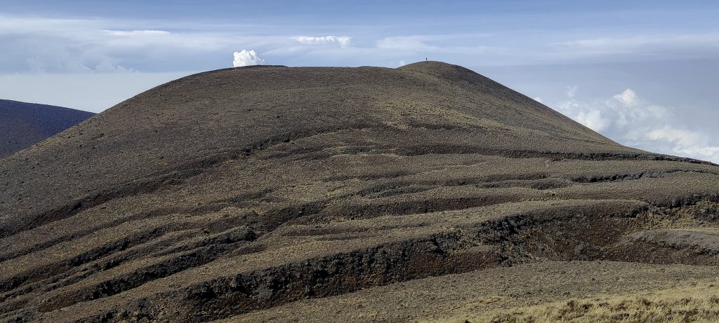
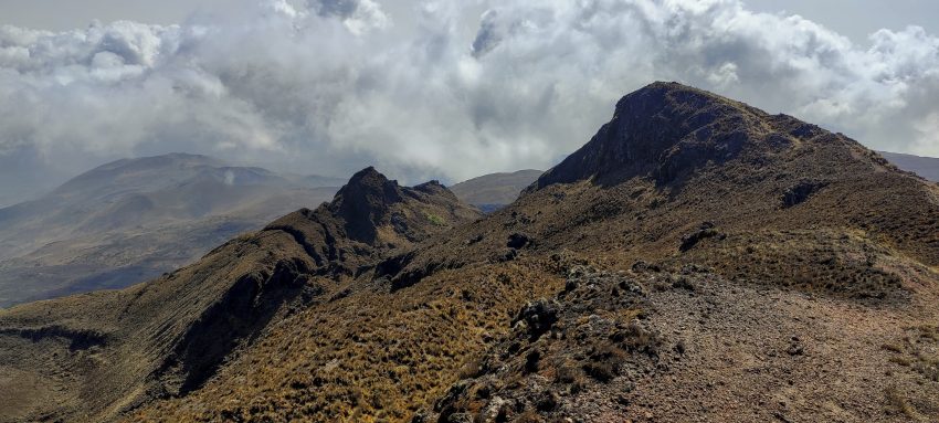
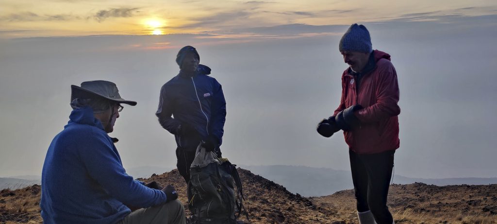
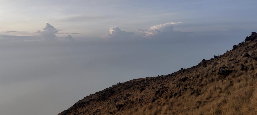
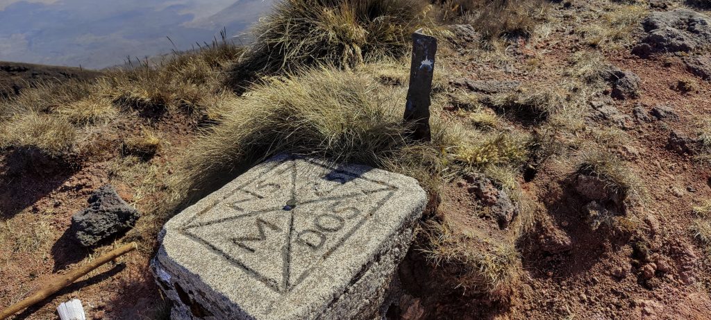
The summit has few markers, a boundary marker and a few outcrops. They vary within centimetres, but each of the outcrops looks like a good candidate for the name of the highest point. Lower down there are some clouds and a nice view. Soon John and Smith join us on the summit. We take a short break, have a snack, take a few photos and are ready to descend.

Summit marker
Boundary marker at top
Views from above
Looking down the slopes
A little lower sub-peak a hundred metres away (left)
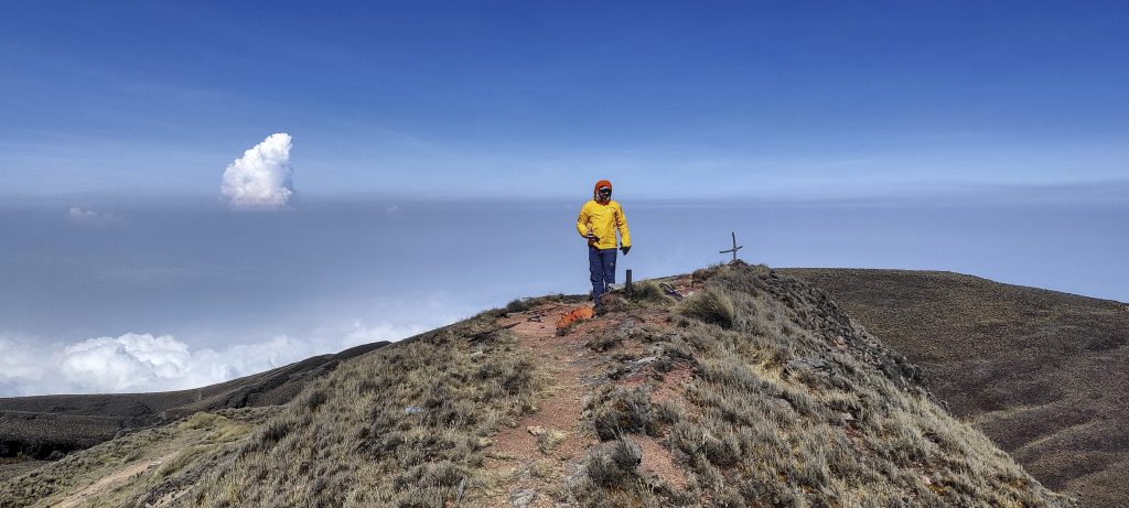
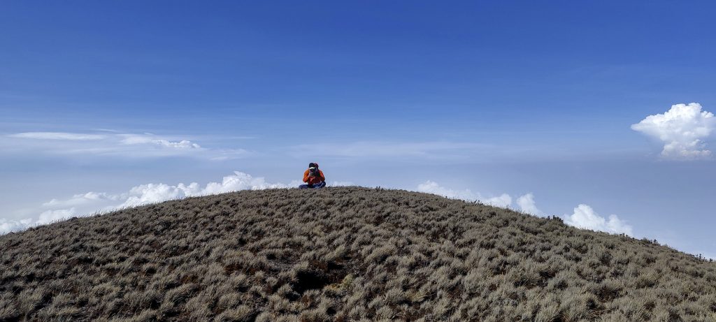
Dave at the summit (right)
John with Smith nearing the summit
East of summit
Petter climbing the summit for the second time after visiting the lower southwest peak
On the summit. Me, Dave, Petter and John (left to right)

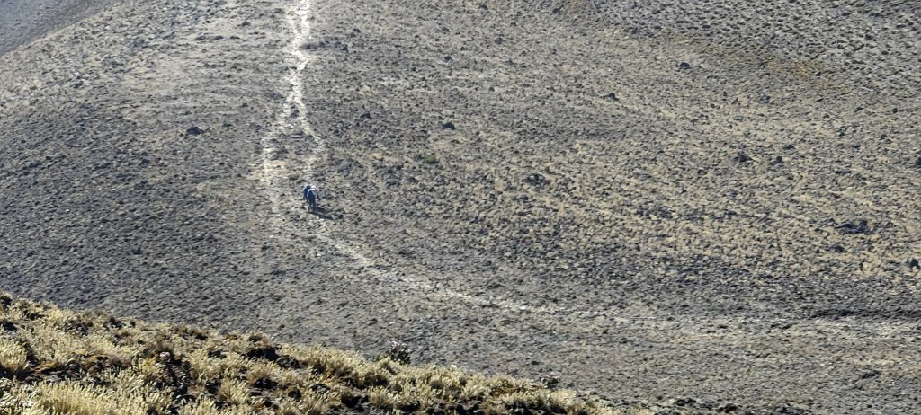
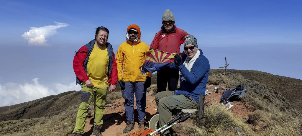
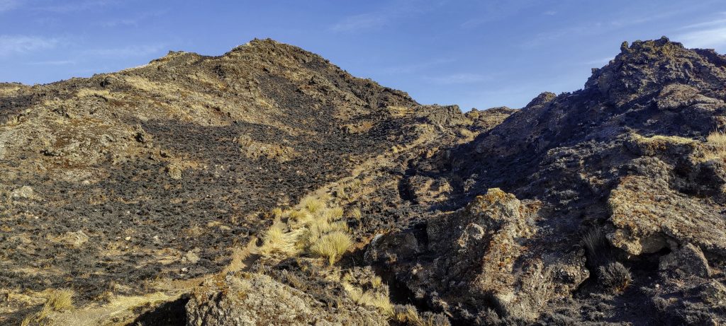
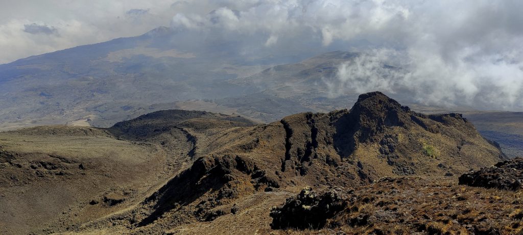
When Dave and I arrived at the summit we found only Petter’s rucksack. Looking around, we noticed a small man-shaped figure on the southwest summit, 300-400 metres away. Dave and I also visited this summit on the way down, but all our measurements and visual observations confirmed that this peak was lower. However, we had no hand level or accurate positioning system.

View of the true summit from the lower southwest peak
Lower southwest summit marked by small cairn
Dave nearing the lower southwest summit
Clouds still lower, we have clear skies
Dave measures and compares two peak heights with app
Smith and John descending
On the way down, the volcanic sand trail is very fast
Erupted a long time ago, but not much vegetation yet.
Beautiful volcanic scenery
Dave and Smith descending
Our dinner, fishy potato stew

When we arrived at Hut 2, we decided that it would be better to stay here rather than feed the mosquitoes at the lower camp. We would have to descend another 1000 metres the next day, but this option seemed more acceptable to all of us. So the next morning, after breakfast, we started our descent and in about three hours we were back in Buea, where Hillary and two cars were waiting for us.

Petter, John and Smith descending steeper sections
Can they be cinnamon trees?
African shrike-flycatcher (thanks Rob) Megabyas flammulatus ??
Trail through burnt grass, smell of recent fire
Views on the way down
Psiadia punctulata ??, commonly known as the daisy tree
Helichrysum foetidum
So many patches burned
Buea from the slopes
Approaching Buea
Scadoxus multiflorus ??. Common names, include blood lily, ball lily, fireball lily, blood flower, Katherine-wheel, oxtongue lily, poison root and powderpuff lily
Coffee berries ??
Wild tobacco ??

We drive back to Douala, to the hotel near the airport where we have a good lunch. Dave and John fly home around midnight, while Peter and I fly to Addis Ababa the next day. It has been a very smooth and well organised adventure. We have climbed an important mountain and are now on our way home, but I am looking forward to the next trip to Sierra Leone in a few weeks time.


Mount Cameroon4040 m altitude
3901 m prominence
2337.73 km isolation
RangesWest Africa Mountains - Cameroon Mountains
Countries/regionsCameroon - Southwest
Distance13.80 km up13.80 km down
Elevation2881 m gain2881 m loss
Time
24h00 up
0h30 other
23h30 down
48h00 total
Trailhead1158 m altitude4.1586380, 9.2299440
RouteStarting on the outskirts of Buea town, the trail passes through farmland and into the forest. At around 2100m, we reach the tree line and begin to climb up a steep slope; it becomes more gradual near Hut 2. From Hut 2 to the summit, the trail is not too difficult and is a fairly relaxed walk. The last section to the summit is also fairly flat and is a comfortable volcanic sand track. We take the same route down, with a small detour to the lower south-east summit.
DifficultiesGetting a Cameroon visa involves travelling to another country. It is possible to get it by post, but this will block your passport and any international travel for a month or more.
LinksGPX trail
  • West Africa II 2023
  • « Iberian Peninsula 2023
  • Southwest Cameroon »

Mountain Ranges

Anatolia
Central Anatolia
Pontic Mountains
Southeast Anatolia
Taurus Mountains
Western Anatolia
Andes
Puna de Atacama
Atlas Mountains
High Atlas
Northwestern Atlas
Central America Ranges
Costa Rica-Panama Ranges
Central Central America
East China
Taiwan
Eastern Europe Ranges
Southeast Baltic Plains
Iberian Peninsula
Cordillera Cantabrica
Castile Ranges
Portugal-Galicia
Pyrenees
Intermountain West
Great Basin Ranges
Korea-Amur Area
Taebaek Sanmae
Malay Archipelago
Java
Nusa Tengarra
Sulawesi
Sumatra
Mid-Atlantic Islands
North Atlantic Islands
Mongolia Ranges
Altai
Gobi Desert Ranges
Hangay Mountains
Northwest Europe
Great Britain
North France-West Rhine Area
Pacific Ranges
Cascade Range
Northwest U.S. Coast Ranges
Sierra Nevada
Central and Southern California Ranges
Philippines
Central Philippines
Luzon
Mindanao
Southeast Asia
Malay Peninsula
Southeast South America
Pampas
Sierras de Cordoba
Southern Africa
Malawi Highlands
West Africa Mountains
Bight of Benin
Cameroon Mountains
Guinea Highlands

Countries / regions

Algeria
Ain Guezzam
Ain Salah
Aïn Témouchent
El Bayadh
Ghardaïa
Oran
Ouargla
Saïda
Sidi Bel Abbès
Tamanrasset
Argentina
Catamarca
Ciudad Autónoma de Buenos Aires
Córdoba
Jujuy
Salta
Tucumán
Belgium
Brussels Capital Region
Flemish Region
Cameroon
Southwest
China
Taiwan
Costa Rica
Alajuela
Cartago
Guanacaste
Heredia
Limón
San José
Czechia
Prague
Denmark
Greenland
France
Hauts-de-France
Occitania
Germany
Berlin
Niedersachsen
Indonesia
Bali
Jambi
Jawa Tengah
Jawa Timur
Nusa Tenggara Barat
Sulawesi Tengah
Sulawesi Utara
Sumatera Barat
Lithuania
Vilnius County
Mongolia
Bayankhongor
Govi-Altai
Khovd
Omnogovi
Ovorkhangai
Ulan Bator
Zavkhan
Morocco
Béni Mellal-Khénifra
Drâa-Tafilalet
Fez-Meknes
Marrakesh-Safi
Souss-Massa
Tangier-Tetouan-Al Hoceima
Mozambique
Zambezia
Netherlands
Gelderland
Noord-Holland
Zeeland
Nicaragua
Chinandega
Managua
Masaya
Rivas
Philippines
Bicol Region (V)
Cagayan Valley (II)
Calabarzon (IV-A)
Central Luzon (III)
Cordillera Administrative Region
Davao Region
Metro Manila
Soccsksargen (XII)
Western Visayas (VI)
Poland
Greater Poland Voivodeship
Masovian Voivodeship
Portugal
Castelo Branco
Leiria
Lisbon
Madeira
Santarém
Qatar
Ad-Dawhah
São Tomé and Príncipe
São Tomé Province
Sierra Leone
Northern Province
Western Area
Singapore
South Korea
Gyeongsangnam-do
Seoul
Spain
Aragón
Asturias
Castilla-La Mancha
Castilla y León
Catalonia
Islas Canarias
Switzerland
Zürich
Turkey
Antalya
Bitlis
Erzincan
Hakkâri
Igdir
Isparta
Kahraman Maras
Muğla
United Kingdom
England
Scotland
United States
California
Delaware
Florida
Maryland
Nevada
New Jersey
New York
Pennsylvania
South Carolina
Utah

TRIPS

2024
Southern Africa 2024
Mid-Atlantic Islands 2024
North America 2024
Anatolia 2024
Korea-Amur Area 2024
East China 2024
2023
Mongolia Ranges 2023
Philippines 2023
West Africa III 2023
West Africa II 2023
Iberian Peninsula 2023
West Africa 2023
Central America 2023
2022
Andes 2022
Northwest Europe 2022
Malay Archipelago III 2022
Malay Archipelago II 2022
Anatolia Mountains 2022
Iberian Peninsula 2022
Atlas Mountains 2022
North France-West Rhine Area 2022

archaeology (3) climb (157) food (2) hike (155) p30 (17) p50 (4) p100 (24) p300 (12) p600 (17) p1000 (11) p1500 (76) ribu (10) sight (46) summary (16) trig (44) ultra (76)

1 591 km walked, 121 298 m climbed

©2025 p600.org | WordPress Theme by Superbthemes.com