Skip to content
Menu
p600.org
  • home
  • map
  • trips
  • about
p600.org

Leicester Peak

hike | 2023-04-01
590 m altitude, 315 m prominence, 0.00 km isolation

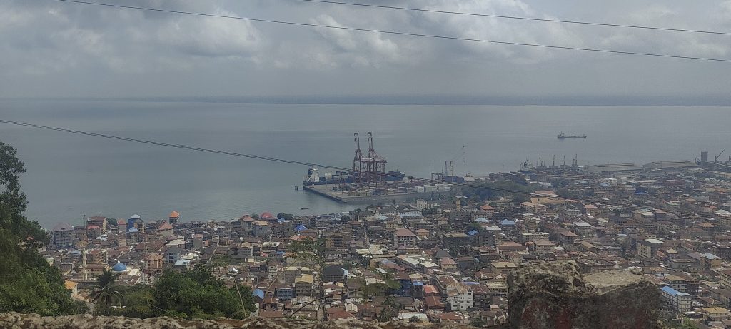
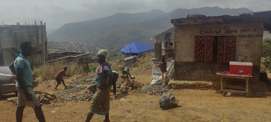
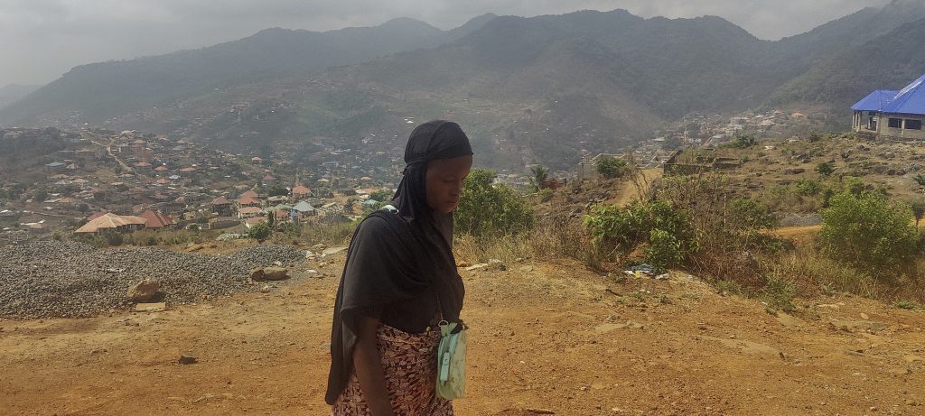
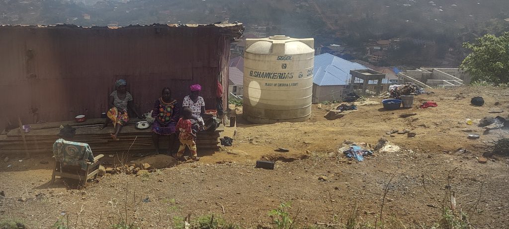
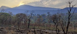
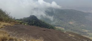
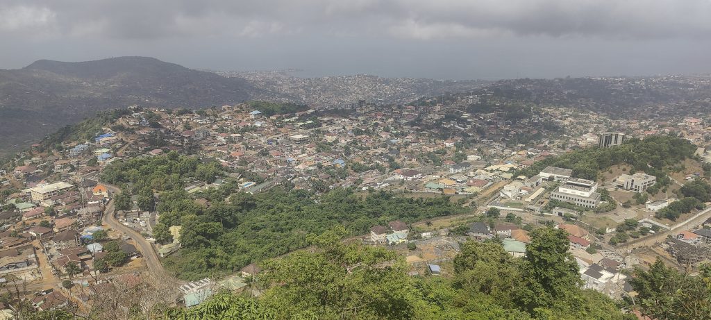
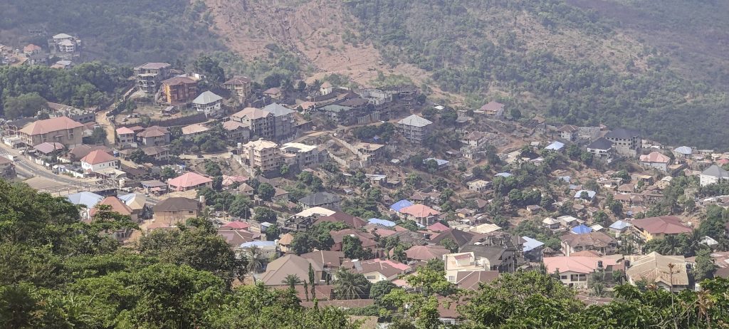
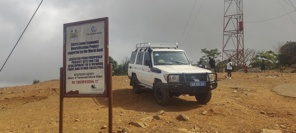
After breakfast in a small street restaurant next to the hotel, we drive almost to the top of Leicester Peak. There is a checkpoint, but as far as I can see, all tourists are allowed to drive to the viewpoint on the western slopes of the peak. There is a fairly large car park and a few locals around.

Views from the Freetown viewpoint
Population over one million

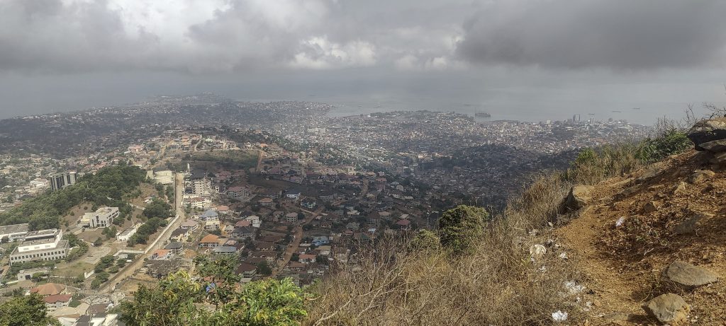
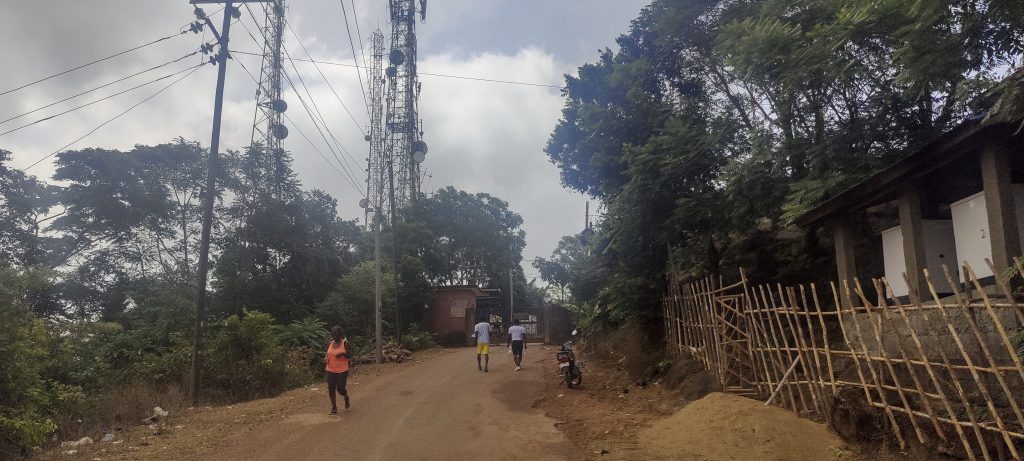
We took a few photos of Freetown and then looked towards the true summit, which was about 100 metres away in a fenced area next to communications masts. We walked up to the gates and saw a friendly team of guards sitting in the shade. We asked if we could go up to the highpoint and were obviously told no. It wasn’t a big deal as we were standing 10-20 metres from a pile of rocks that looked like the highest natural point in the area but we tried to explain in a few sentences what peakbagging was all about and asked again, this time getting a much better answer – “No photos, OK, only touch, OK?” We said yes, put our phones away and hurried up the pile of stones. A few seconds later we were at the highpoint. Success! There were buildings around, so it is possible that the natural summit was somewhere else in the past. But now we think we were standing on it. Peakbaggers are very grateful for the permission to reach the summit and greatly appreciate it!

Road to the gates of the communication masts area
Rob, Richard and Denise at the viewpoint
Benchmark 1 and Benchmark 2 near the viewpoint

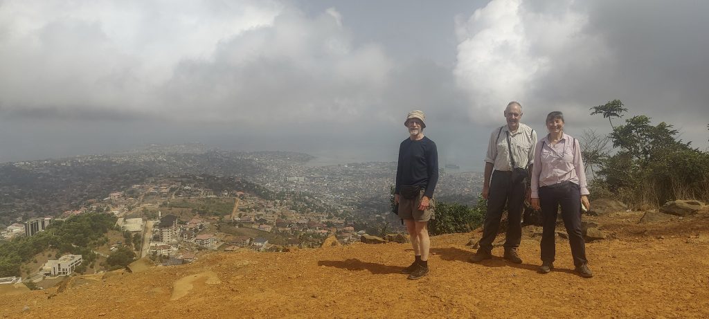
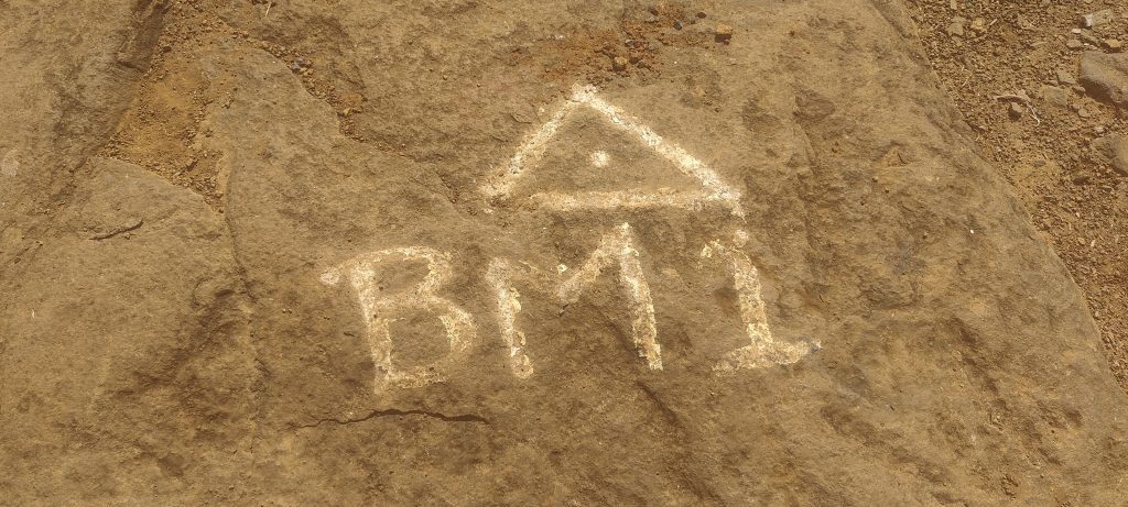
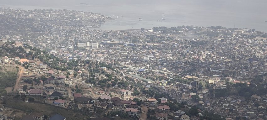
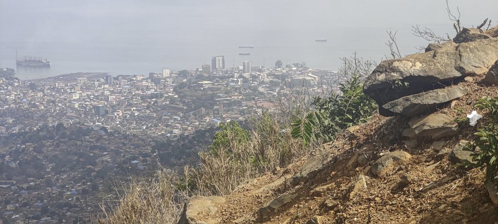
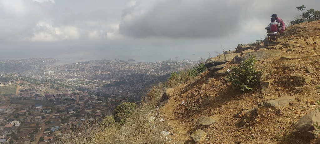
On the way back, at the viewpoint, we also found the BM1 and BM2 benchmarks with triangles on one of the stones. An easy drive up and a good start to the day. Now we head to Lumley Beach and later across the mouth of the Sierra Leone River to the airport. This is the final peak of the trip.

Views on the way down the mountain
Lots of people busy breaking rocks
God bless Mr and Mrs Mansaray

Leicester Peak 590 m altitude
315 m prominence
Ranges West Africa Mountains - Guinea Highlands
Countries/regions Sierra Leone - Western Area
Distance 0.12 km up 0.12 km down
Elevation 19 m gain 19 m loss
Time
0h05 up
0h05 other
0h05 down
0h15 total
Trailhead 571 m altitude 8.4499960, -13.2244820
Route

There is a tarmac road all the way to the top, but the car has to be parked a few hundred metres from the gates to the communications mast area.

Difficulties

Fenced and guarded communication masts

Links GPX trail
  • West Africa III 2023
  • « Picket Hill North Summit
  • Freetown »

Mountain Ranges

Anatolia
Taurus Mountains
Western Anatolia
Andes
Puna de Atacama
Atlas Mountains
High Atlas
Northwestern Atlas
Central America Ranges
Costa Rica-Panama Ranges
Central Central America
Eastern Europe Ranges
Southeast Baltic Plains
Iberian Peninsula
Cordillera Cantabrica
Castile Ranges
Portugal-Galicia
Pyrenees
Malay Archipelago
Java
Nusa Tengarra
Sulawesi
Sumatra
Mongolia Ranges
Altai
Gobi Desert Ranges
Northwest Europe
Great Britain
North France-West Rhine Area
Philippines
Central Philippines
Luzon
Mindanao
Southeast Asia
Malay Peninsula
Southeast South America
Pampas
Sierras de Cordoba
West Africa Mountains
Bight of Benin
Cameroon Mountains
Guinea Highlands

Countries / regions

Algeria
Ain Guezzam
Ain Salah
Aïn Témouchent
El Bayadh
Ghardaïa
Oran
Ouargla
Saïda
Sidi Bel Abbès
Tamanrasset
Argentina
Catamarca
Ciudad Autónoma de Buenos Aires
Córdoba
Jujuy
Salta
Tucumán
Belgium
Brussels Capital Region
Flemish Region
Cameroon
Southwest
Costa Rica
Alajuela
Cartago
Guanacaste
Heredia
Limón
San José
Czechia
Prague
Denmark
Greenland
France
Hauts-de-France
Germany
Berlin
Niedersachsen
Indonesia
Bali
Jambi
Jawa Tengah
Jawa Timur
Nusa Tenggara Barat
Sulawesi Tengah
Sulawesi Utara
Sumatera Barat
Lithuania
Vilnius County
Mongolia
Bayankhongor
Govi-Altai
Khovd
Omnogovi
Ovorkhangai
Ulan Bator
Morocco
Béni Mellal-Khénifra
Drâa-Tafilalet
Fez-Meknes
Marrakesh-Safi
Souss-Massa
Tangier-Tetouan-Al Hoceima
Netherlands
Gelderland
Noord-Holland
Zeeland
Nicaragua
Chinandega
Managua
Masaya
Rivas
Philippines
Bicol Region (V)
Cagayan Valley (II)
Calabarzon (IV-A)
Central Luzon (III)
Cordillera Administrative Region
Davao Region
Metro Manila
Soccsksargen (XII)
Western Visayas (VI)
Poland
Greater Poland Voivodeship
Masovian Voivodeship
Portugal
Castelo Branco
Leiria
Lisbon
Santarém
Qatar
Ad-Dawhah
São Tomé and Príncipe
São Tomé Province
Sierra Leone
Northern Province
Western Area
Singapore
Spain
Aragón
Asturias
Castilla-La Mancha
Castilla y León
Switzerland
Zürich
Turkey
Antalya
Isparta
Muğla
United Kingdom
England
Scotland
United States
Delaware
Florida
Maryland
New Jersey
New York
South Carolina
Pennsylvania

TRIPS

2023
Mongolia Ranges 2023
Philippines 2023
West Africa III 2023
West Africa II 2023
Iberian Peninsula 2023
West Africa 2023
Central America 2023
2022
Andes 2022
Northwest Europe 2022
Malay Archipelago III 2022
Malay Archipelago II 2022
Anatolia Mountains 2022
Iberian Peninsula 2022
Atlas Mountains 2022
North France-West Rhine Area 2022

archaeology (3) climb (99) food (2) hike (98) p30 (9) p100 (14) p300 (10) p600 (14) p1000 (6) p1500 (49) ribu (5) sight (41) summary (13) ultra (49)

1 162 km walked, 88 924 m climbed

©2023 p600.org | WordPress Theme by Superbthemes.com