Skip to content
Menu
p600.org
  • home
  • map
  • trips
  • about
p600.org

Loma Mansa

hike | 2023-03-27

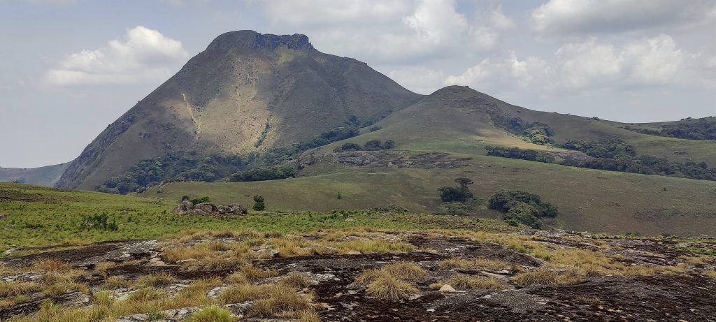
Climbing Sierra Leone’s highest peak, the 46th most isolated in the world, is an experience not to be missed. It is also an ultra-prominent peak, one of the few in West Africa. Not only is it a beautiful natural environment, but the trail and cultural experience are also interesting. On this trip, Loma Mansa peak is the main objective, all other peaks are a bonus for us. Some maps refer to this peak as Bintumani Mountain, which can be confusing; however, my understanding is that both names can be used interchangeably.

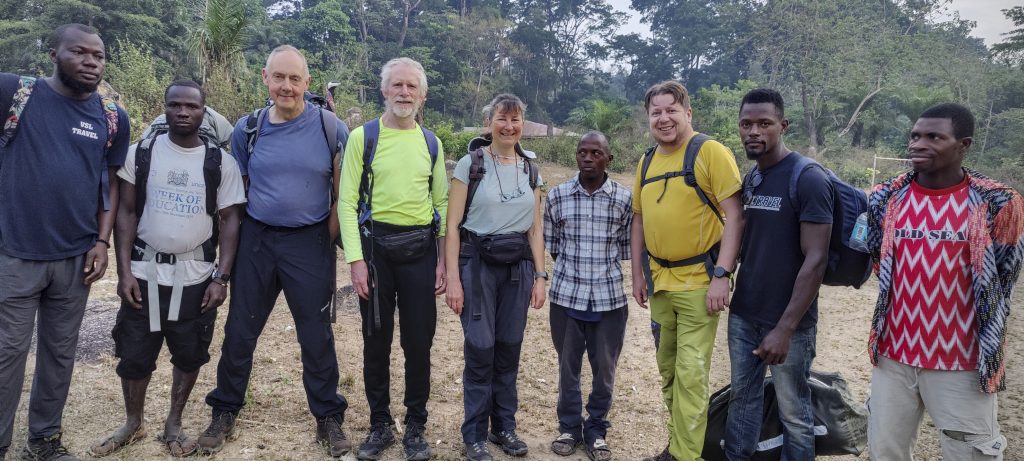
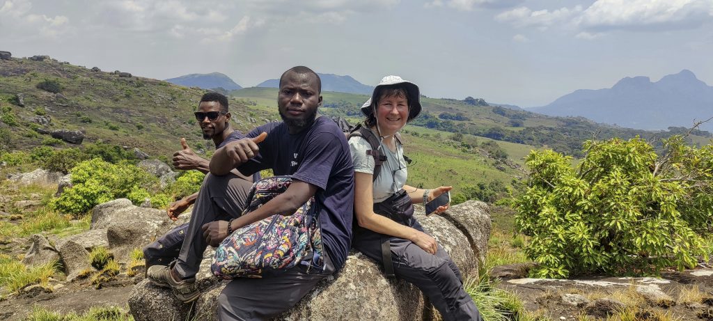
Choosing VSL Travel as our local tour operator was a great decision. They took care of the logistics, made the trip very comfortable and interesting and we found the country safe and welcoming. Technically we didn’t need guides, but it was nice to learn from the locals and explore Sierra Leone. Thank you so much!

  • Day 1. 7h30 ascent from Foria village at 408 m to the summit at 1945 m, finally 2h00 descent to the camp at 1340 m.
  • Day 2. 3h50 descend to Foria village at 408 m.

The trailhead village has caused some confusion because of its name. Locals and some sources say the trail starts at a village called Sinekoro, but on some maps there is another Sinekoro village in a different location. Other maps refer to this village as Foria. To avoid confusion, it is best to use the coordinates of the trailhead rather than the names.

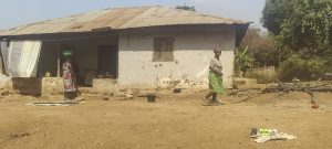
Alex describes the route from Kabala to the village of Foria as an “African massage” – a rough stretch of road with several river crossings and sections where high clearance in a four-wheel drive is essential. After banging my head on the roof of a car, I think it is a good idea to wear a helmet or fasten the seatbelt. It took us four hours to cover the last fifty kilometres of this trip. Before that, we had travelled from Lungi airport to Makeni on a good tarmac road, where we bought food and drink for a few days.

Communities along the way
We start our walk and camp in the village of Foria.
Warm welcome from local children
Our presence in the village today is a small event
Houses built with handmade bricks

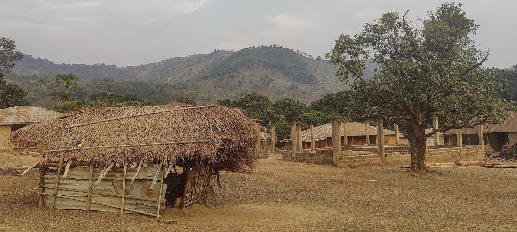
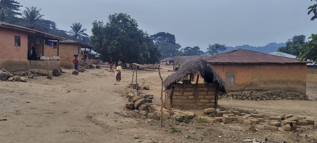
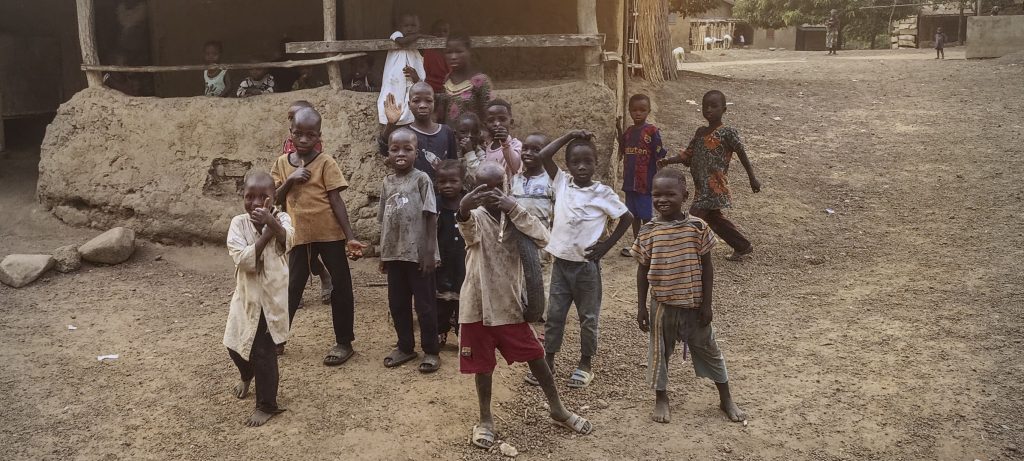
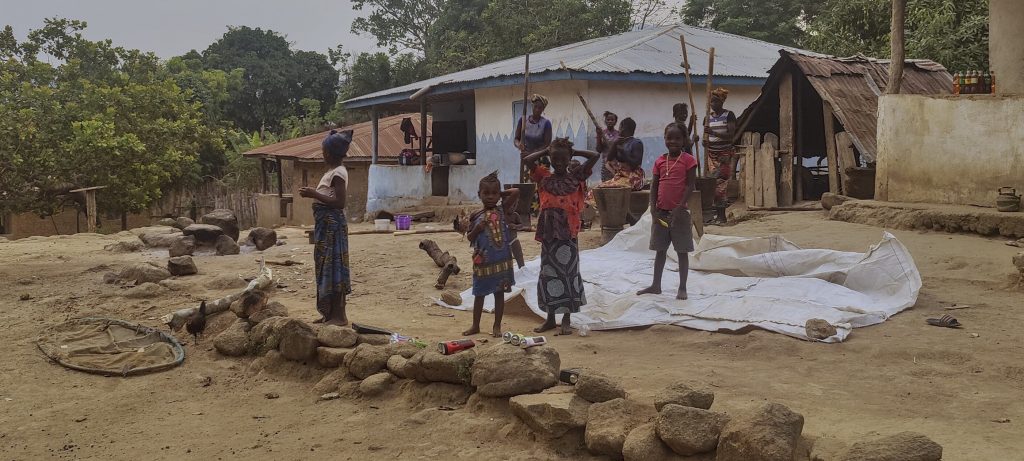
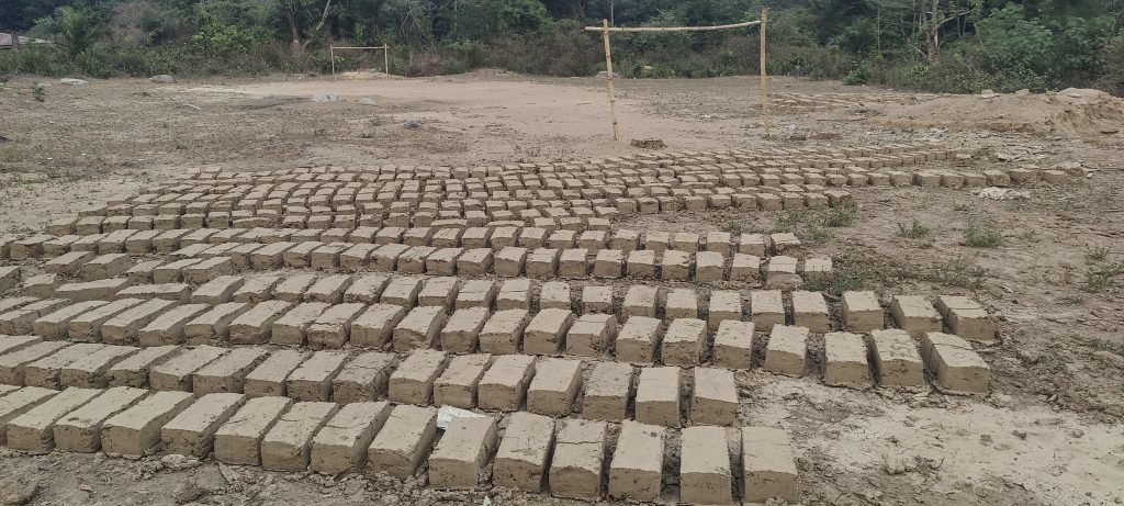
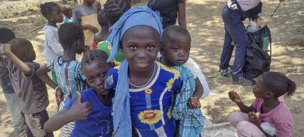
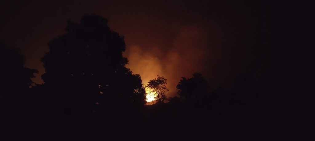
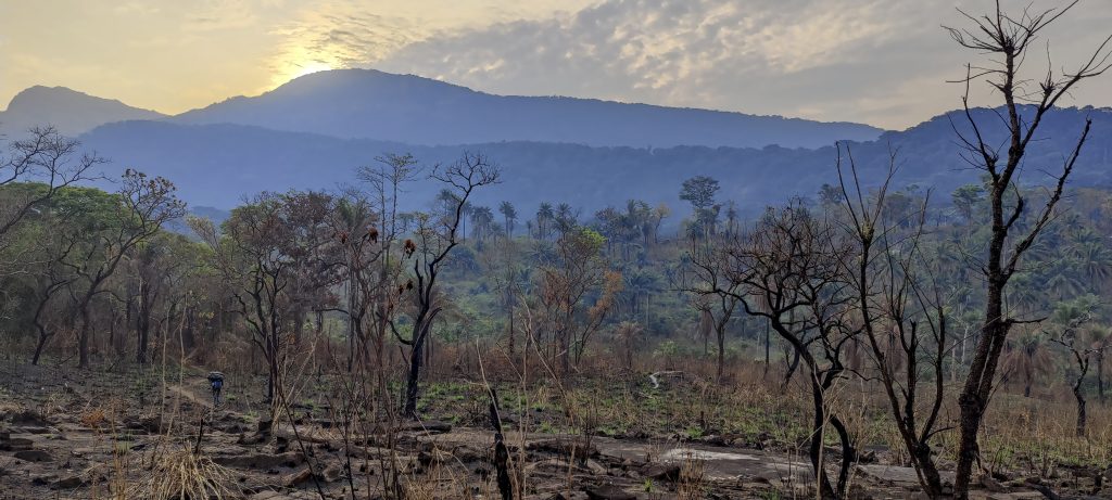
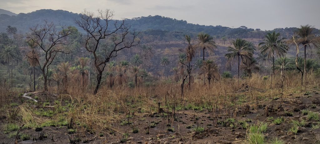
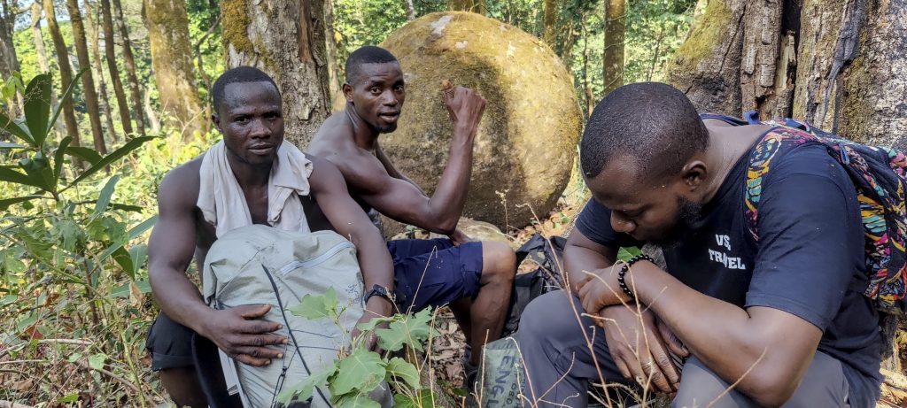
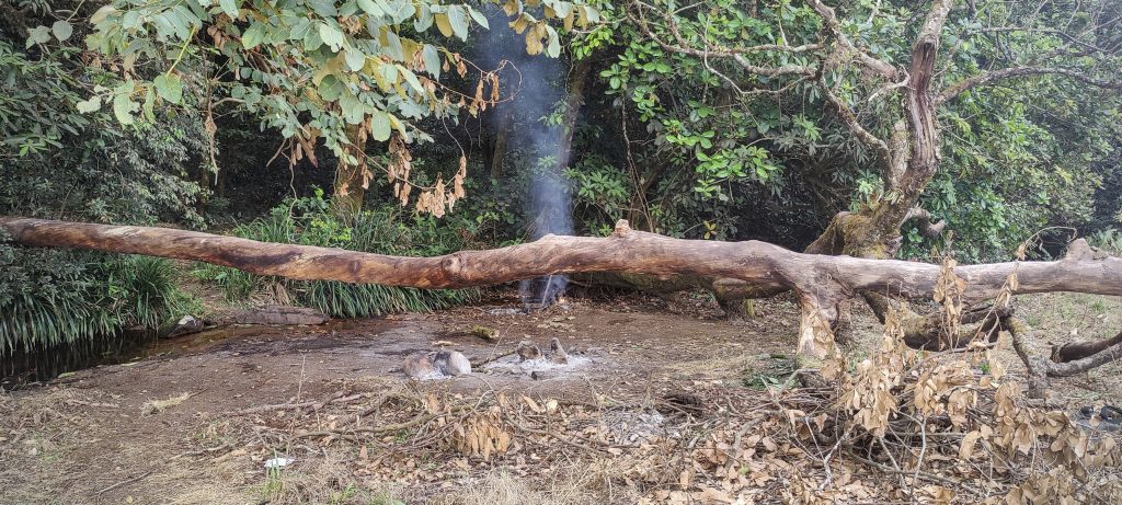
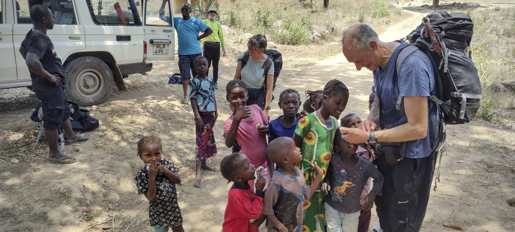
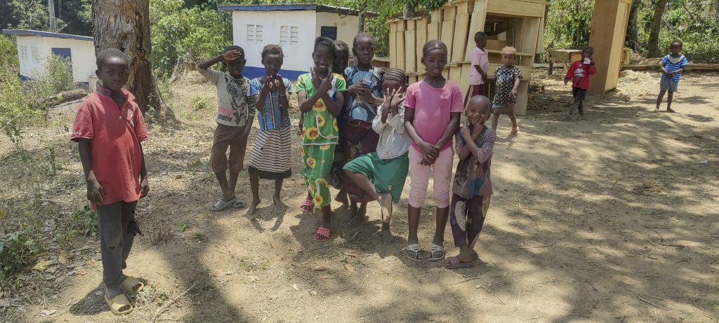
A few kilometres before the start of the trail, in the village of Banda, Alex spoke to the local chief, paid him some money and offered us an optional payment for village development. After paying the fees, we drove to the village of Foria, where we were allowed to pitch our tents on the football pitch. The children brought us benches to sit on while we waited for dinner and watched the bush fire approach. The locals assured us that this happened every year and that we were safe. When I woke up at 1am I could still hear the fire, which only stopped in the morning.

We were worried about the nearby bush fires, but the locals assured us that we were safe (left)
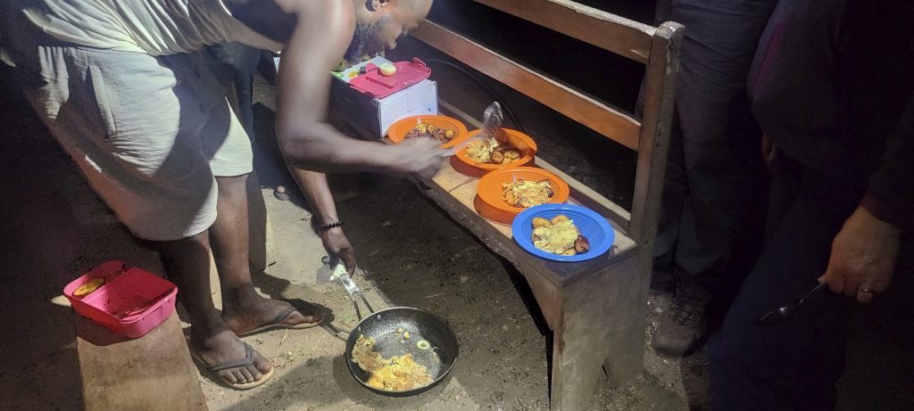
Omelette in the morning (right)
Group photo before the walk. If anyone is missing, we know what they looked like. Just kidding, of course. Alex, John, Richard, Rob, Denise, Saio, me, Ali and Bullet (from left to right)

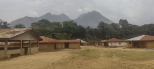
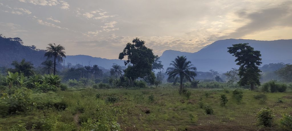
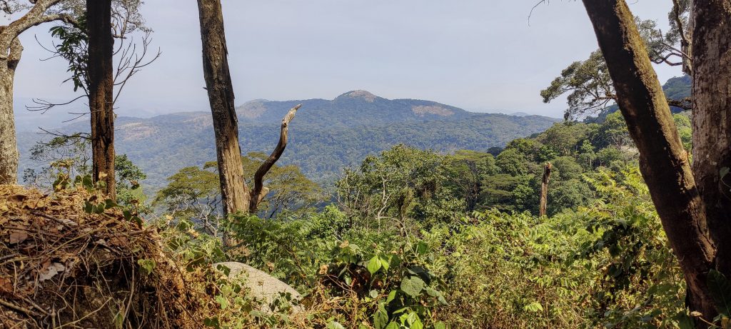
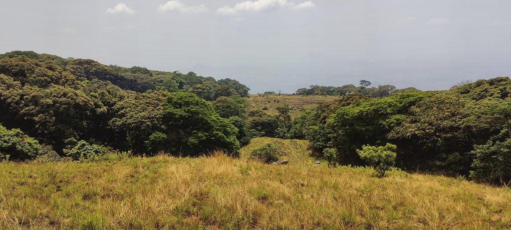
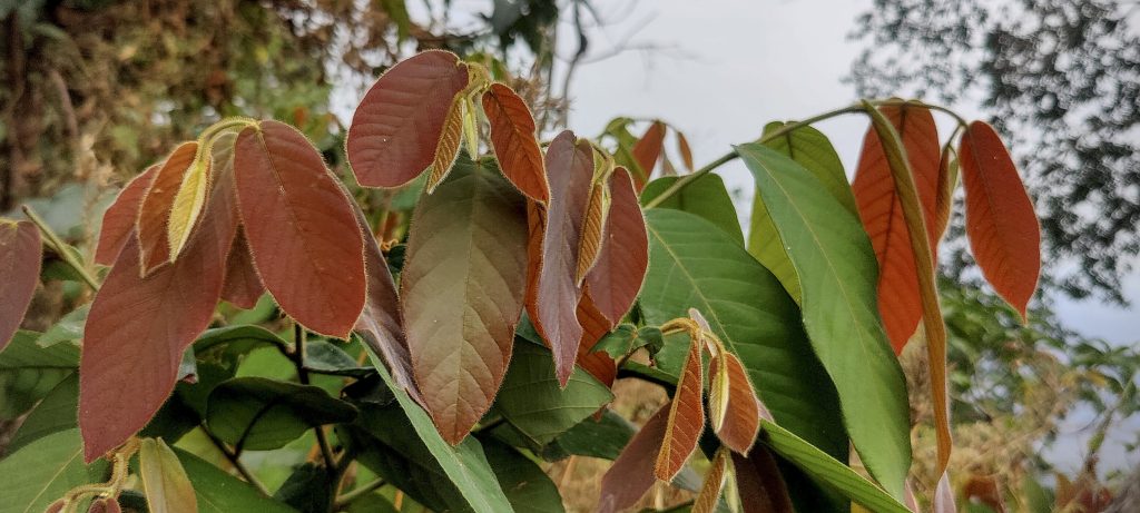
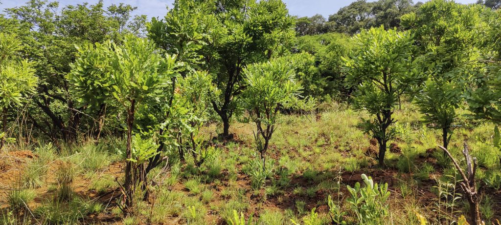
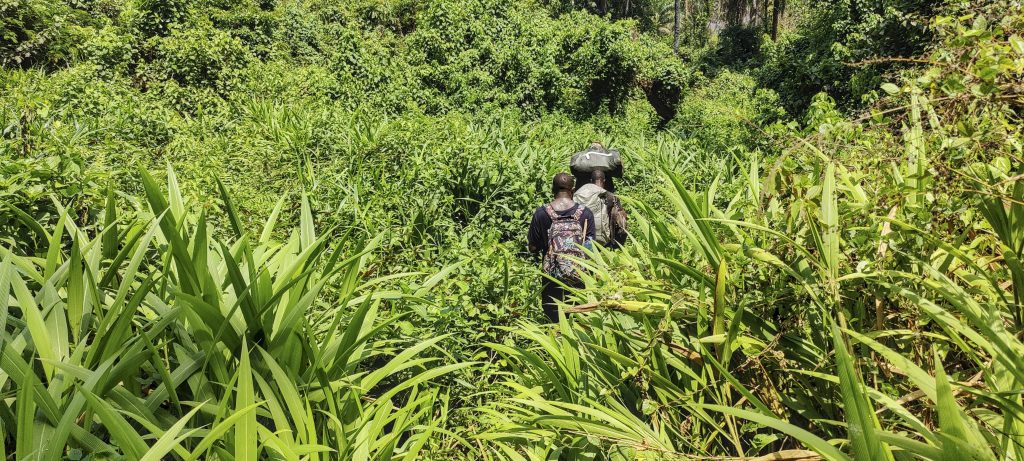
Alex made us a delicious omelette and as the first light of dawn broke we began our trek to the summit. The first few miles were relatively flat, with a mix of forest and swamp. We walked along a wide, comfortable path often used by the locals. As the sun rose, I could feel the temperature rising; it wasn’t too bad yet, but by midday it would be unbearable.

Denise at the start of the trail
Rob, Denise, Richard, and Alex on the trail
It seems that the locals use fishing nets in the nearby stream, as there are a lot of them on the trees (left)
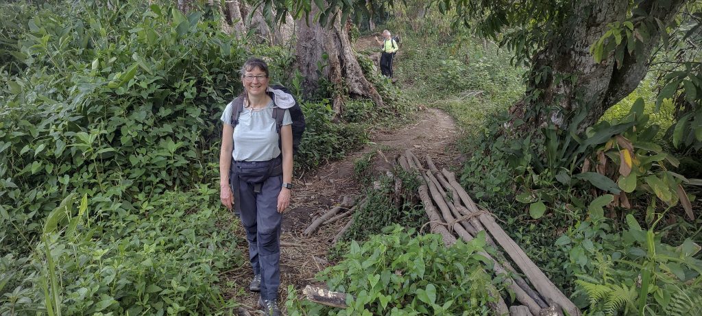
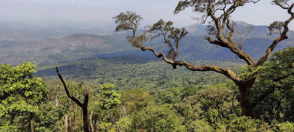
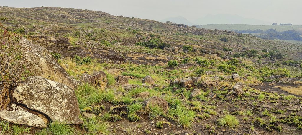
The view from the path leading down the mountain to the base (right)
The summit is beyond the slopes
Termite nests that look like giant mushrooms are surreal
Alex shows a cassava root (left)
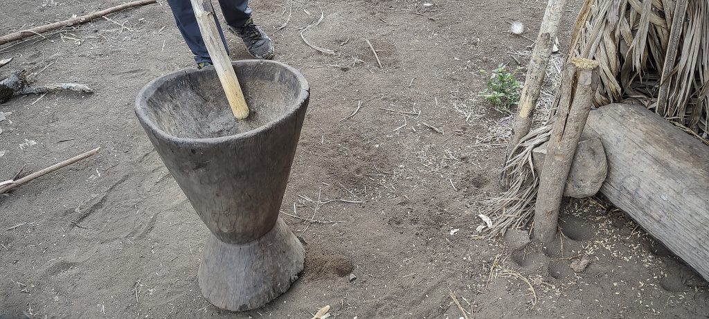
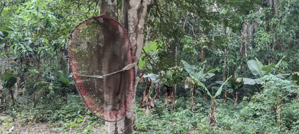
Denise tries to use a local “blender” (right)
At the end of our flat walk we came to a steep slope with a few straw huts. One of the porters had spent his childhood here and was kind enough to cut some delicious bananas for us. We were very grateful! The rest of the bananas and plantains were hidden in the pile of straw and when we returned they were taken out.
Richard, Rob and Denise taking a break
I wonder how such impressive giant trees can stand (left)
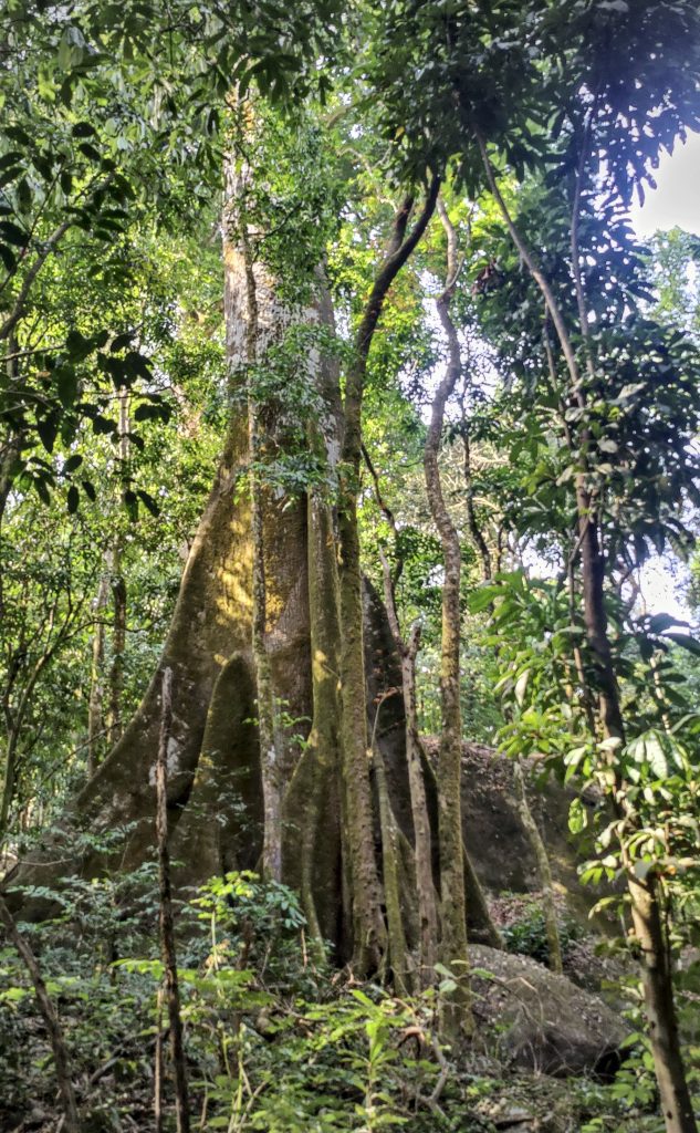
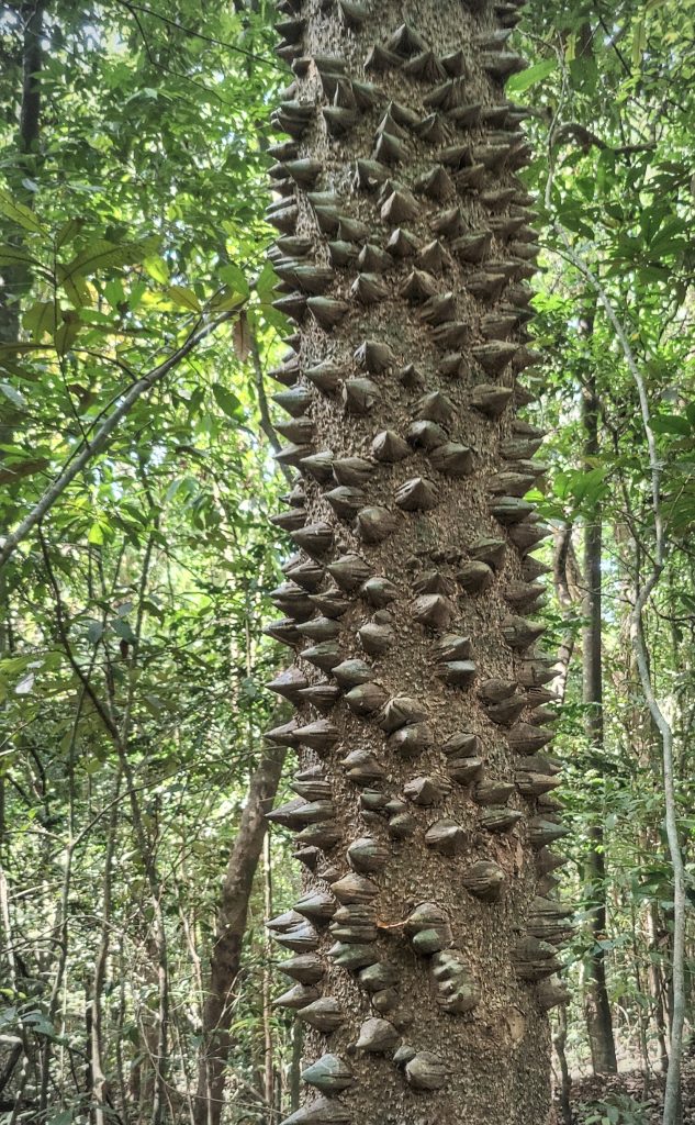
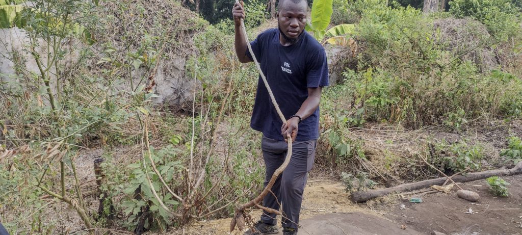
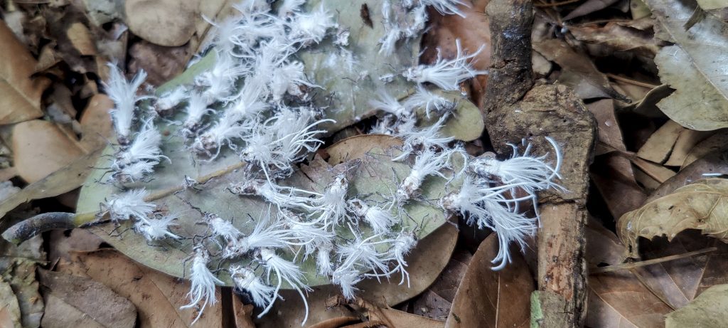
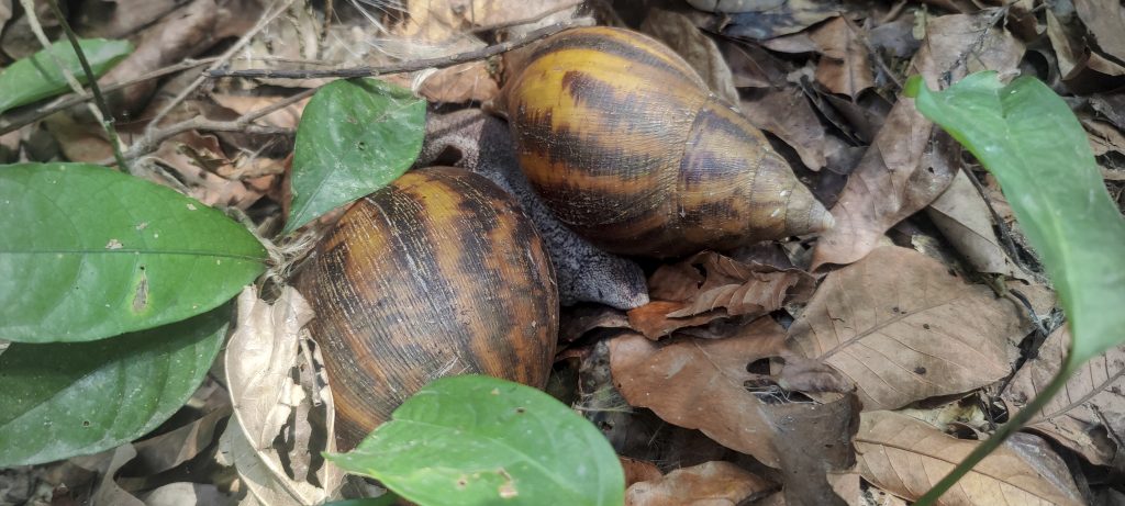
Locals have shown that the fibre under the spike bark of the kapok or cotton tree (Ceiba pentandra) is edible (right).
John, Ali and Alex resting in the midday heat
Few places offer a view around
Rare but spectacular views from the hillsides
Level field in front of Camp 2
Guides and porters eat in Camp 2

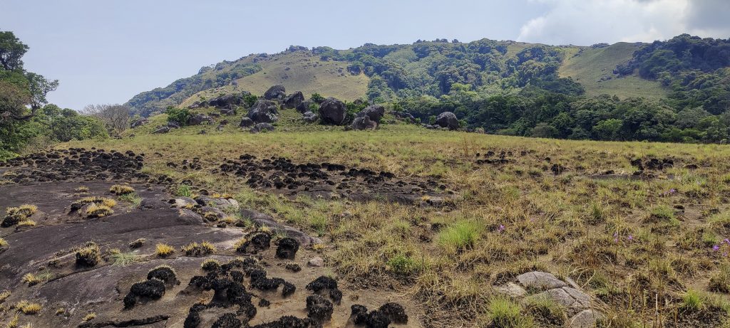
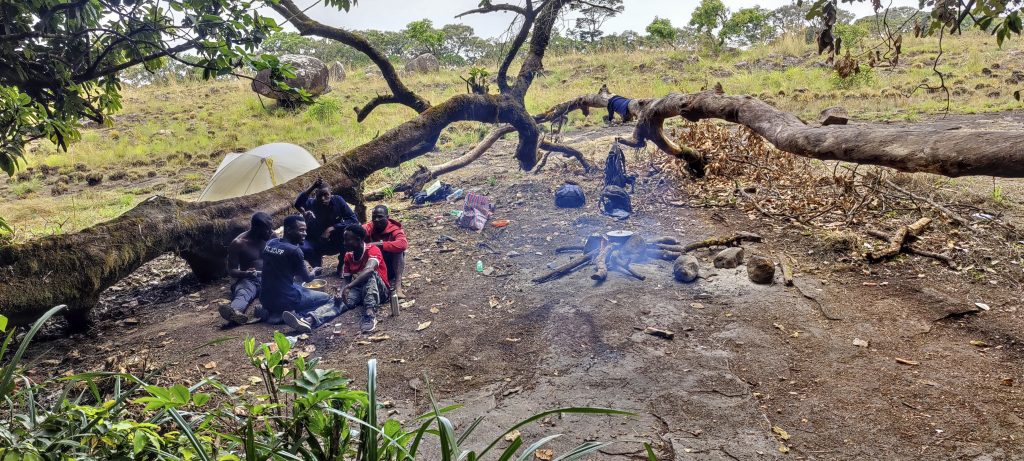
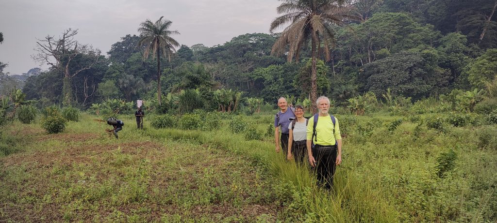
After five hours of walking we reached a flat field and Camp 2. We set up our tents, had some snacks and continued walking towards the summit. We planned to descend that day and spend the night in camp, so we left a few unnecessary kilos in the tents.

It was a gradual climb from the camp to the summit.
Lots of big rocks further up the hill
Remote peaks, probably – Furankoli 1548m P578
The first view of the summit block
Ali, Alex and Denise taking a short break
Summit gets closer
Surrounding peaks
The Lower Bintumani West Summit is composed of three boulders and one similar height located one hundred meters away

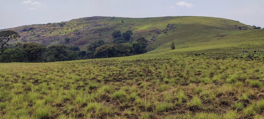
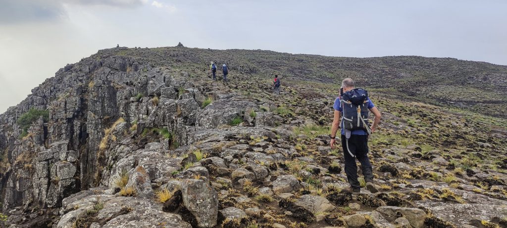
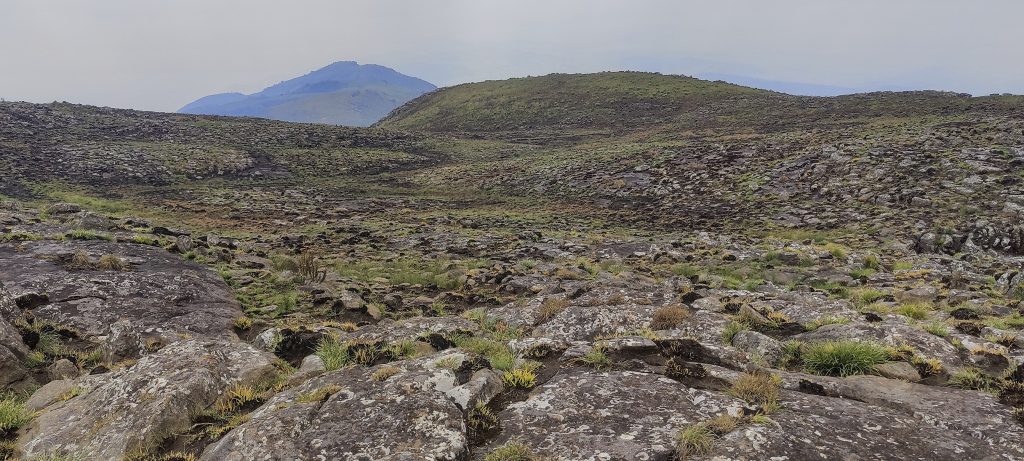
We had a relatively easy, gradual walk from camp to the summit. The trail was not obvious, but it wasn’t difficult to find our way; we just walked towards the summit. We were lucky twice: firstly, we had the chance to see a very fast black mamba, and secondly, this fast black mamba was not interested in us. The locals swore they had never seen a snake there before. Things change!

Last valley before the summit
The path starts on the right, but the highest point is on the left.

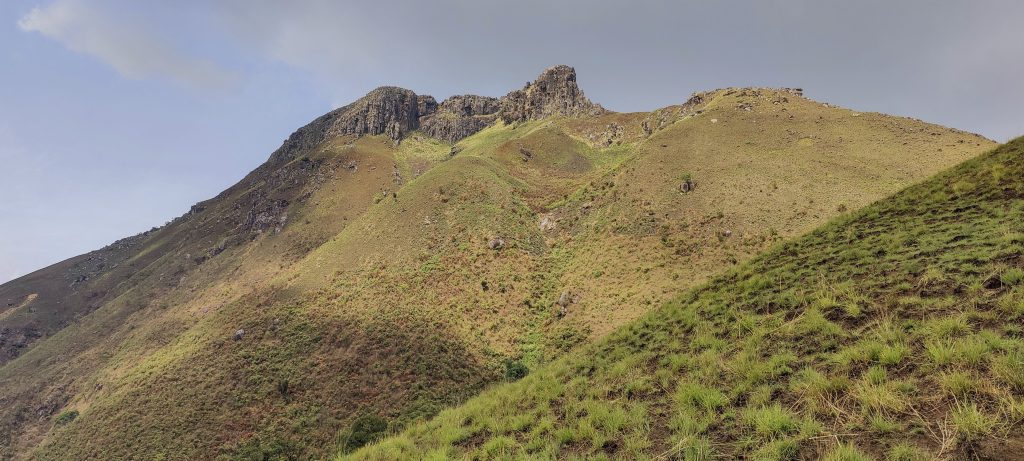
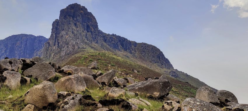
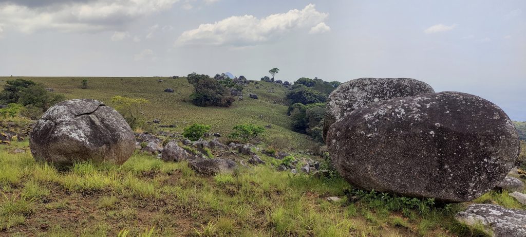
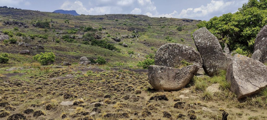
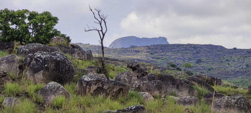
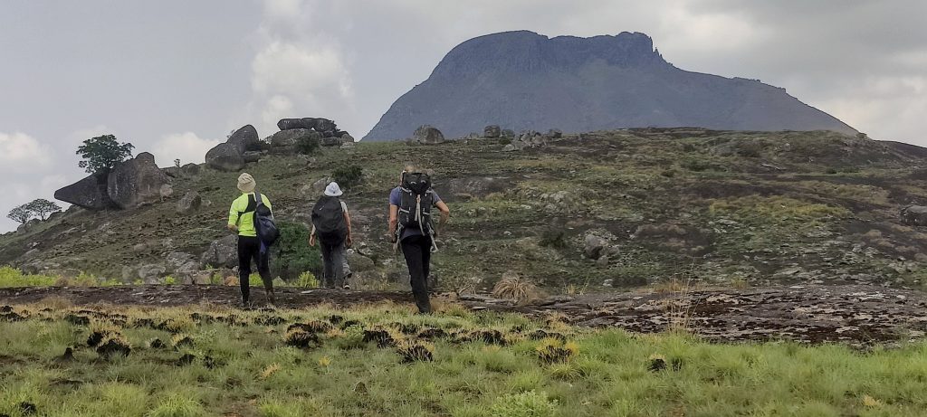
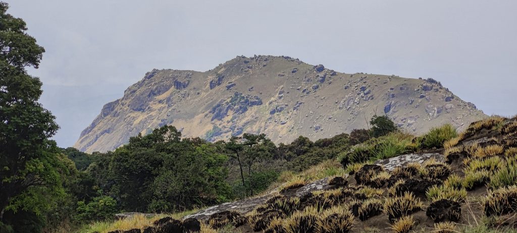
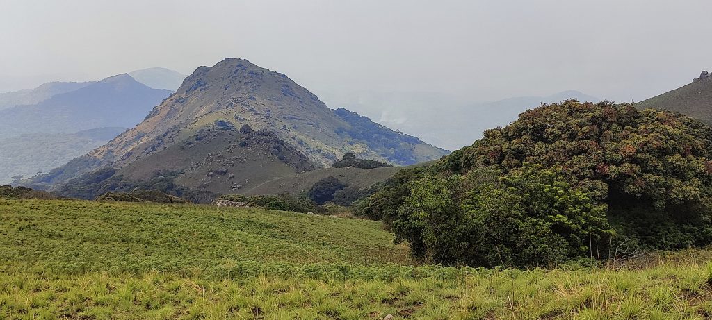
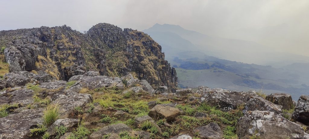
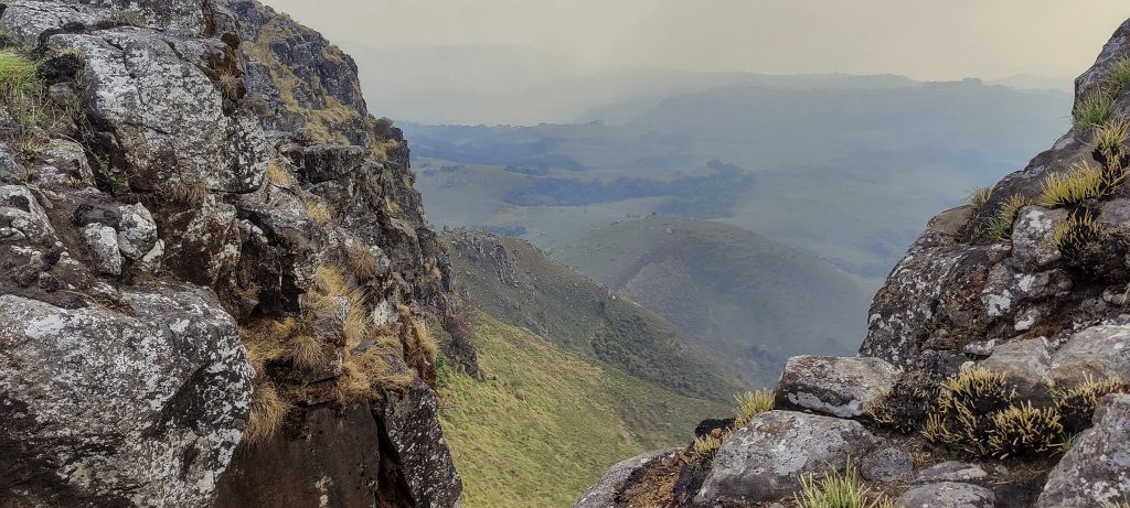
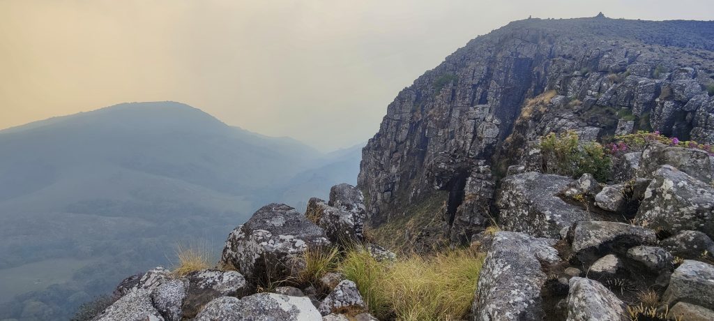
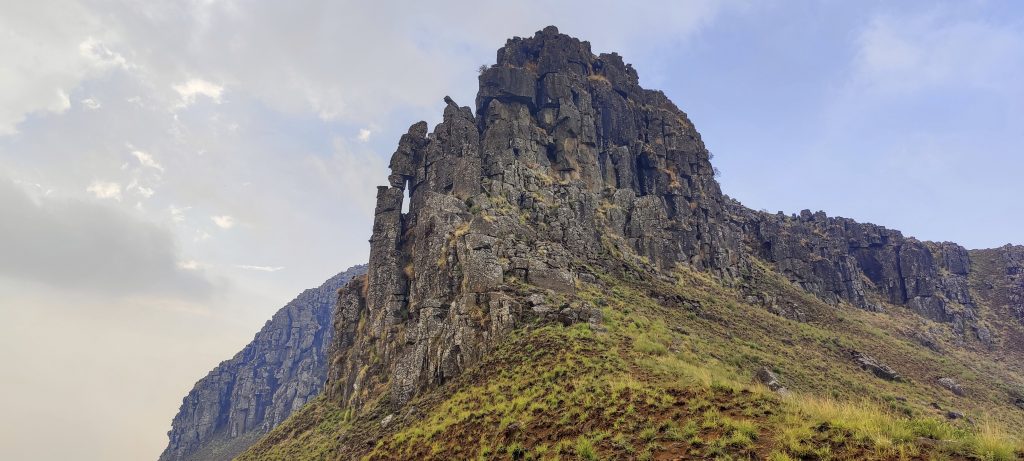
Finally, just a kilometre or two from the summit, we can see it. The closer we get, the more obvious it becomes that the last stretch is steep rock. Many people stop before this rocky section, but we know that there is a path that leads to the top – the true summit.

The barking baboons on the ridge of the nearby peak are too far away to be seen in the photo
Views from above
Boulders on the summit ridge
The summit plateau can be reached via a steep grassy trail on the right

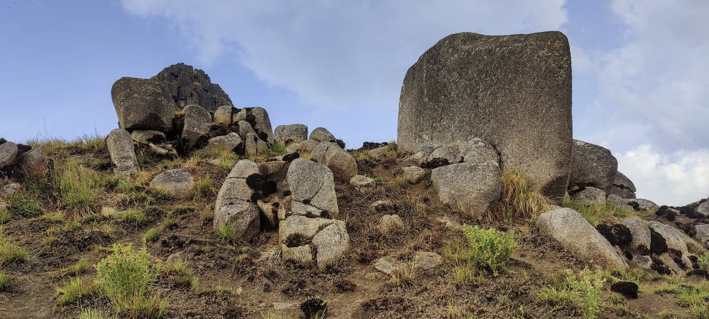
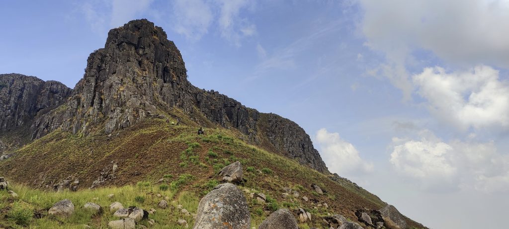
The last fifty metres to the summit may seem a difficult climb, but there is a path to the right that is also steep and has some exposed areas, but should not be a problem for those who really want to reach the true summit.

Summit plateau a few hundred metres wide
Shortly before the summit
At the summit
A cairn and an artificial marker mark the summit.

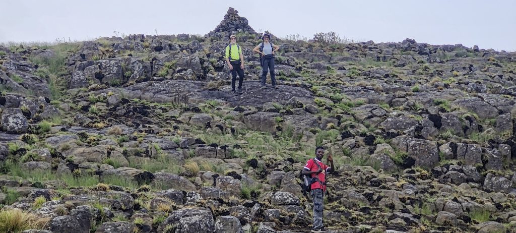
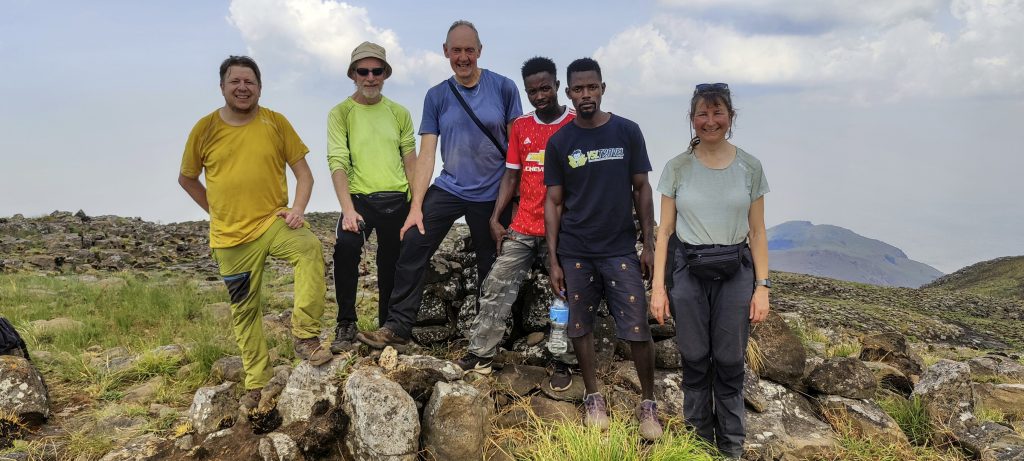
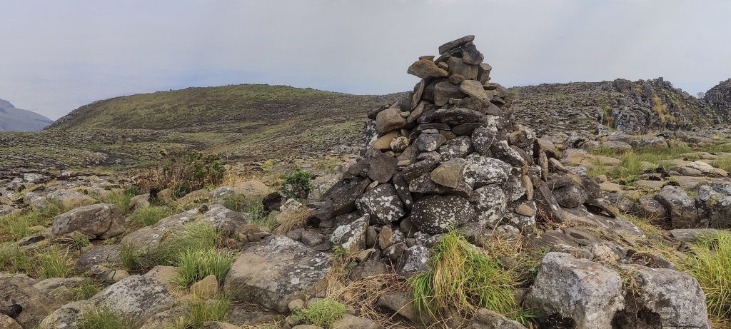
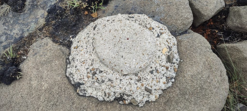
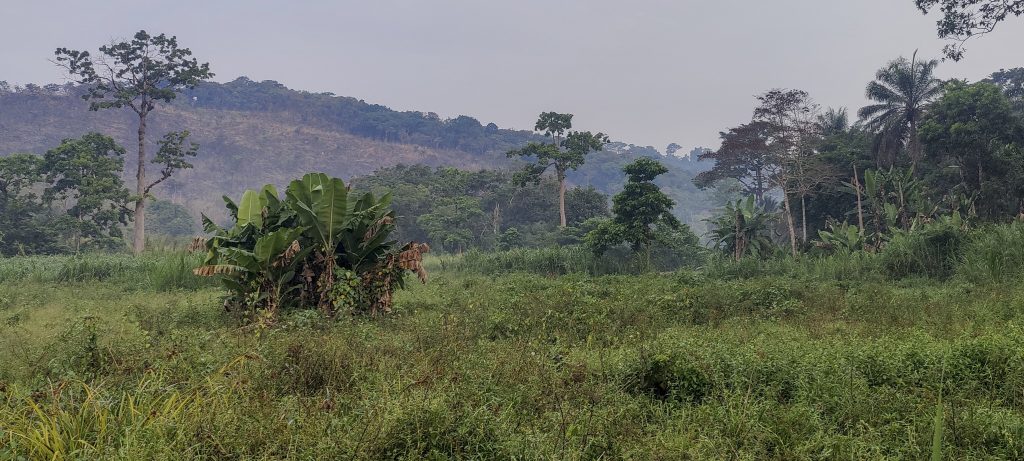
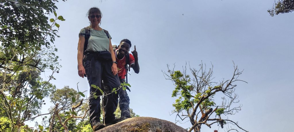
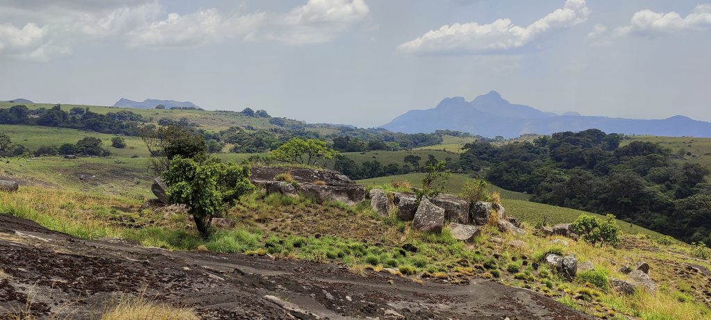
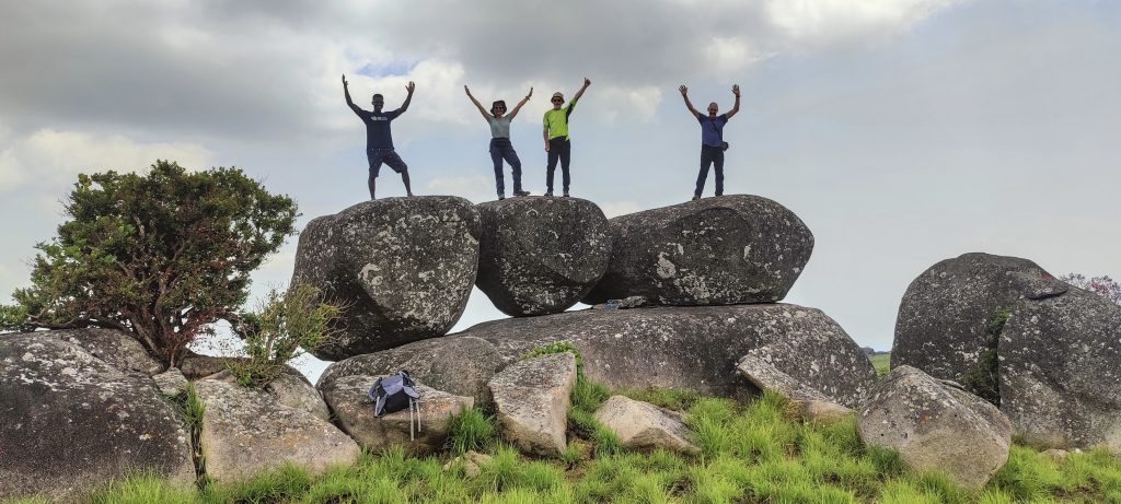
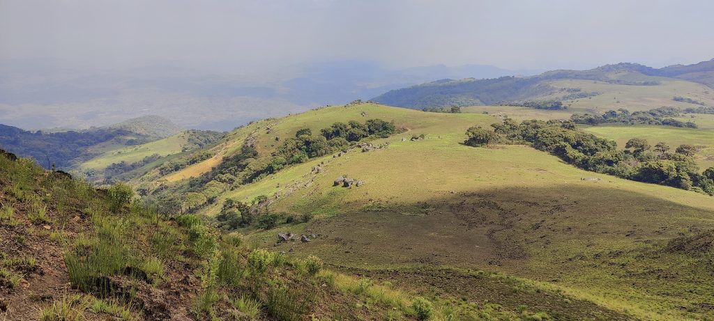
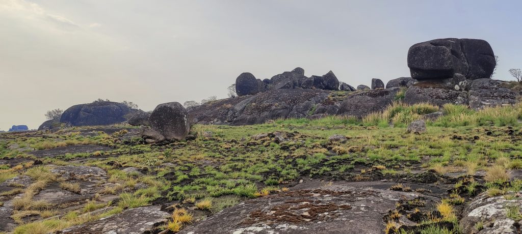
We were excited to reach the summit plateau, which was quite large and relatively flat. A cairn marked the summit and we also found a concrete marker made by the father of one of the local guides. A few metres from the cairn were the remains of what was probably a cylindrical concrete pillar. Mist, clouds and smoke from burning forests obscured our view somewhat, but we could still make out the surrounding peaks and valleys. We spent half an hour savouring our achievement before it was time to descend.

Steep cliffs on the Westside
Views from the summit
Smoke from fires mixed with mist and clouds
The summit cliff has a nice window in it
Fascinating rocks on the descent
Another break before returning to camp

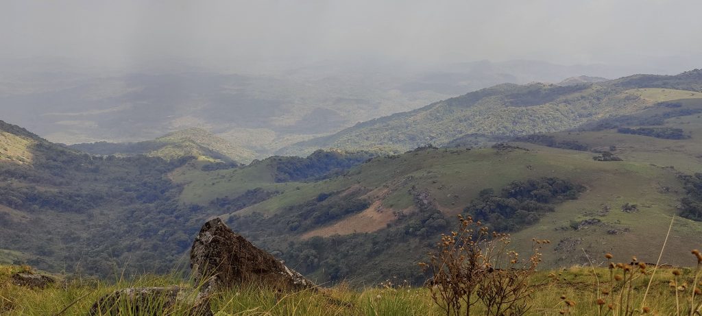
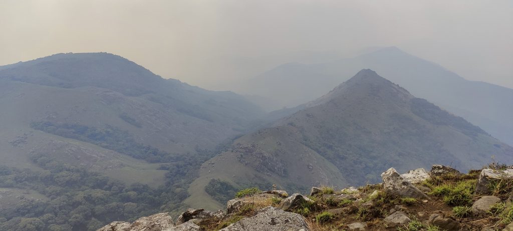
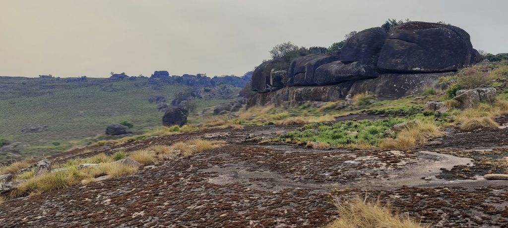
We slowly made our way down the steep slopes, moving quickly across the slabs and grassland. Soon we were back in camp where Alex had prepared another lovely dinner. The sun was setting and a light rain started, but it only lasted about an hour.
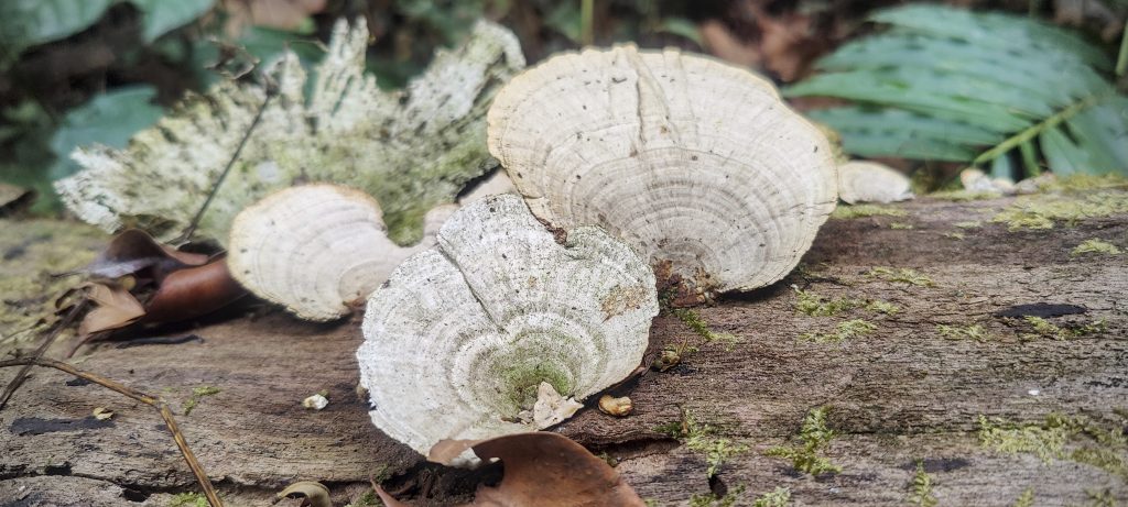
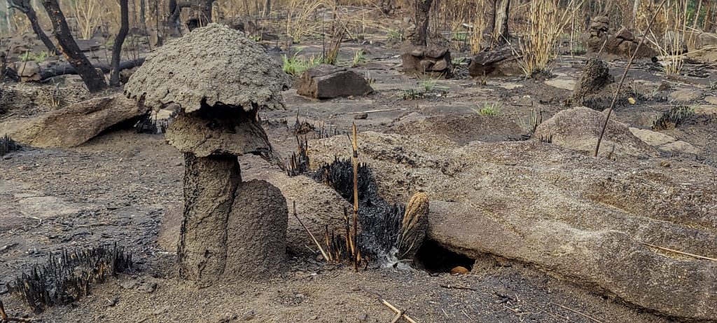
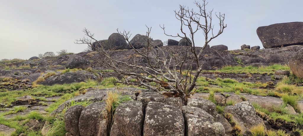
Leaving the camp
“Something” on the fallen tree
Sarcocephalus latifolius is a tropical shrub used in traditional medicine to treat fever, malaria, stomach aches and other ailments; its wood is used for construction and as fuel; its leaves are eaten as a vegetable; and its fruits are eaten fresh or made into jam.
Reddish tree leaves ?? (left)
Polypores (right)
Solanum torvum ??, the turkey berry, devil’s fig, pea eggplant, platebrush or susumber
Strange flies ??
The Giant African Slug, also known as the Giant Tiger Slug and Gigantocochlea, is a species of large air-breathing land snail with the scientific name Achatina achatina
The young branches of these plants (??) are used as toothbrushes by the local people

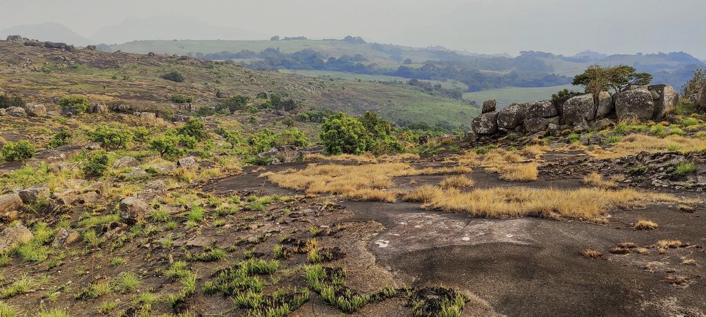
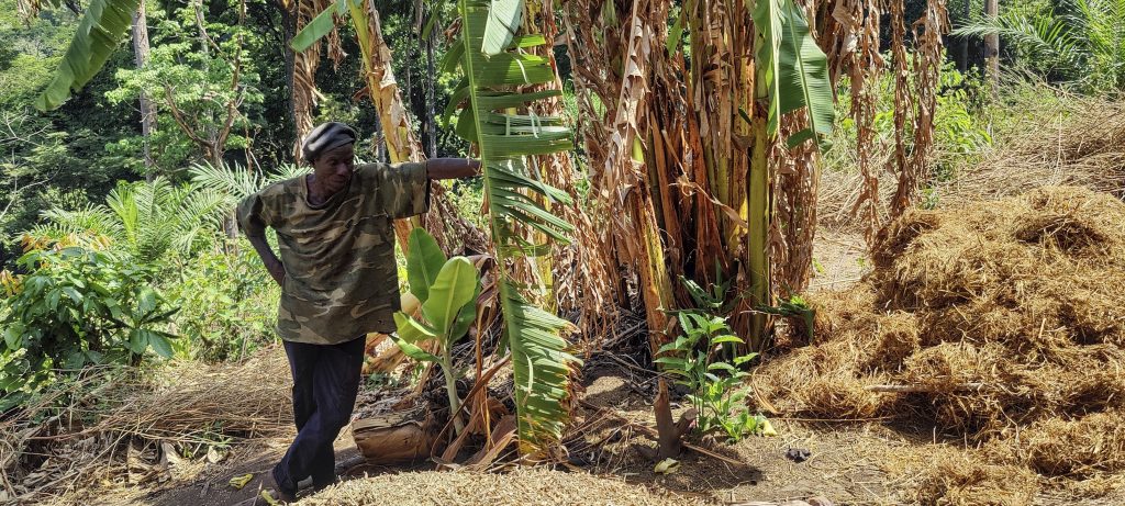
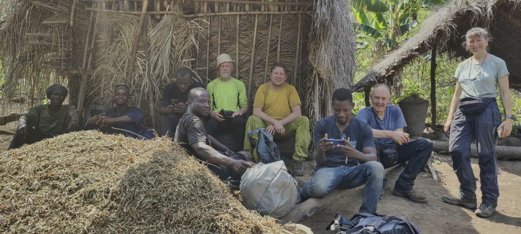
After a quick breakfast in the morning, we headed down steeper slopes into the jungle. We made another interesting stop at a straw hut before continuing the rest of the way to the car and the village.

We were welcomed by the father of one of the porters in his straw hut
A porter walking barefoot after breaking his slippers (left)
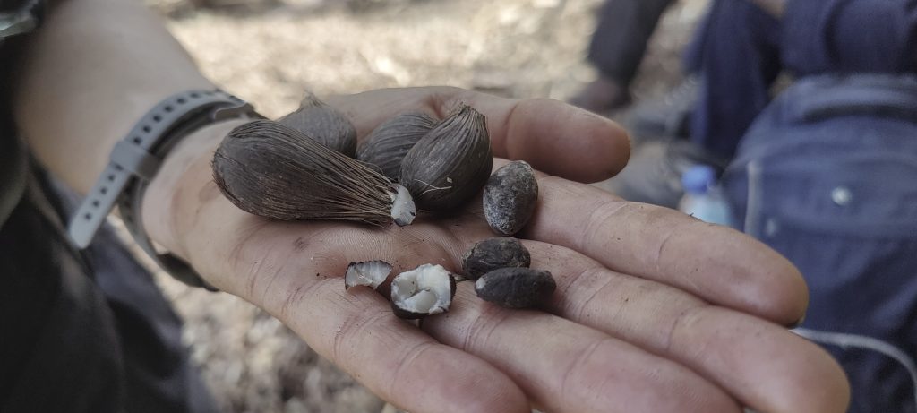
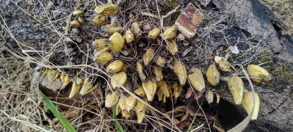
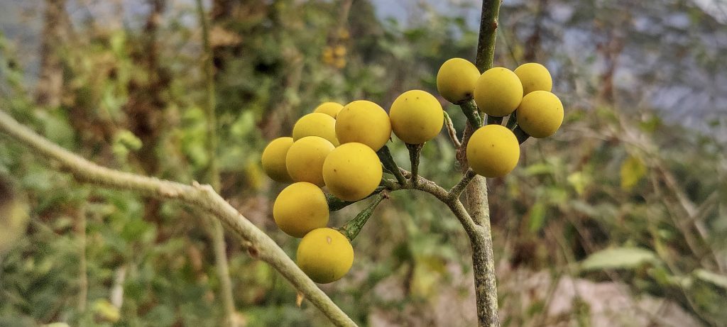
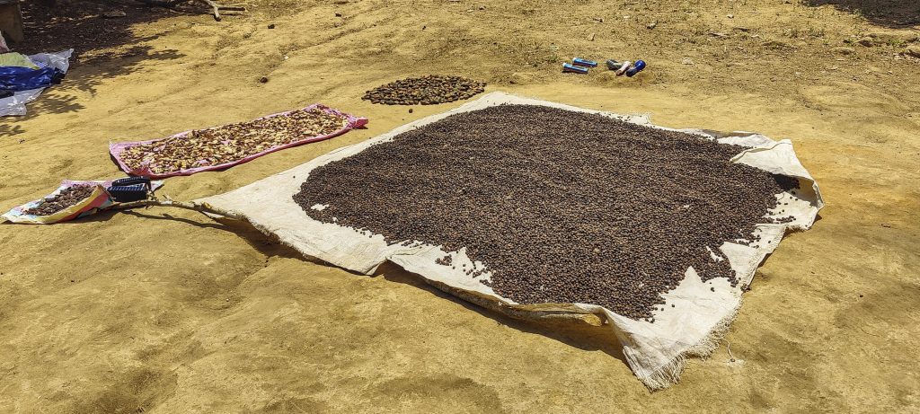
After tasting the extremely hard palm nuts, an oily taste can be detected in the mouth after some time (right)
Rest in the shade of the hut
Good guide – Alex!
High grass trail
Locals drying palm nuts (??)
Richard showing their photos to children in the village
Children are inquisitive about strangers

We had a great time and an interesting adventure climbing the ultra prominent and ultra isolated peak. With plenty of time left in the day, we headed back. towards Makeni. Tomorrow we will try to climb Sankan Biriwa.

It’s time to say goodbye and move on to the next summit

Loma Mansa1945 m altitude
1665 m prominence
1570.80 km isolation
RangesWest Africa Mountains - Guinea Highlands
Countries/regionsSierra Leone - Northern Province
Distance13.60 km up13.70 km down
Elevation1596 m gain1596 m loss
Time
7h30 up
16h15 other
5h45 down
29h30 total
Trailhead406 m altitude9.2332770, -11.1962770
Route<p>From the village of Foria we walk a few hundred metres before turning onto a relatively flat, shady path. We cross a couple of bridged streams and then follow a gentle slope to Camp 1. After about five kilometres the climb becomes much steeper. All in the forest. From camp 2 to the summit we walk in an open grassy area and cross slab stone fields, then easy climb to the final ridge. Finally, a very steep climb leads to the summit plateau and then to the summit marked by a cairn. Return by the same route.</p>
Difficulties<p>The road to the trailhead is quite rough and requires a 4WD vehicle. It can get very hot during the day so it may be better to start early in the morning. There is a steep grassy scramble before reaching the summit, but it is manageable.</p>
LinksGPX trail
  • West Africa III 2023
  • « Northern Sierra Leone
  • Sankan Biriwa »

Mountain Ranges

Anatolia
Central Anatolia
Pontic Mountains
Southeast Anatolia
Taurus Mountains
Western Anatolia
Andes
Puna de Atacama
Atlas Mountains
High Atlas
Northwestern Atlas
Central America Ranges
Costa Rica-Panama Ranges
Central Central America
East China
Taiwan
Eastern Europe Ranges
Southeast Baltic Plains
Iberian Peninsula
Cordillera Cantabrica
Castile Ranges
Portugal-Galicia
Pyrenees
Intermountain West
Great Basin Ranges
Korea-Amur Area
Taebaek Sanmae
Malay Archipelago
Java
Nusa Tengarra
Sulawesi
Sumatra
Mid-Atlantic Islands
North Atlantic Islands
Mongolia Ranges
Altai
Gobi Desert Ranges
Hangay Mountains
Northwest Europe
Great Britain
North France-West Rhine Area
Pacific Ranges
Cascade Range
Northwest U.S. Coast Ranges
Sierra Nevada
Central and Southern California Ranges
Philippines
Central Philippines
Luzon
Mindanao
Southeast Asia
Malay Peninsula
Southeast South America
Pampas
Sierras de Cordoba
Southern Africa
Malawi Highlands
West Africa Mountains
Bight of Benin
Cameroon Mountains
Guinea Highlands

Countries / regions

Algeria
Ain Guezzam
Ain Salah
Aïn Témouchent
El Bayadh
Ghardaïa
Oran
Ouargla
Saïda
Sidi Bel Abbès
Tamanrasset
Argentina
Catamarca
Ciudad Autónoma de Buenos Aires
Córdoba
Jujuy
Salta
Tucumán
Belgium
Brussels Capital Region
Flemish Region
Cameroon
Southwest
China
Taiwan
Costa Rica
Alajuela
Cartago
Guanacaste
Heredia
Limón
San José
Czechia
Prague
Denmark
Greenland
France
Hauts-de-France
Occitania
Germany
Berlin
Niedersachsen
Indonesia
Bali
Jambi
Jawa Tengah
Jawa Timur
Nusa Tenggara Barat
Sulawesi Tengah
Sulawesi Utara
Sumatera Barat
Lithuania
Vilnius County
Mongolia
Bayankhongor
Govi-Altai
Khovd
Omnogovi
Ovorkhangai
Ulan Bator
Zavkhan
Morocco
Béni Mellal-Khénifra
Drâa-Tafilalet
Fez-Meknes
Marrakesh-Safi
Souss-Massa
Tangier-Tetouan-Al Hoceima
Mozambique
Zambezia
Netherlands
Gelderland
Noord-Holland
Zeeland
Nicaragua
Chinandega
Managua
Masaya
Rivas
Philippines
Bicol Region (V)
Cagayan Valley (II)
Calabarzon (IV-A)
Central Luzon (III)
Cordillera Administrative Region
Davao Region
Metro Manila
Soccsksargen (XII)
Western Visayas (VI)
Poland
Greater Poland Voivodeship
Masovian Voivodeship
Portugal
Castelo Branco
Leiria
Lisbon
Madeira
Santarém
Qatar
Ad-Dawhah
São Tomé and Príncipe
São Tomé Province
Sierra Leone
Northern Province
Western Area
Singapore
South Korea
Gyeongsangnam-do
Seoul
Spain
Aragón
Asturias
Castilla-La Mancha
Castilla y León
Catalonia
Islas Canarias
Switzerland
Zürich
Turkey
Antalya
Bitlis
Erzincan
Hakkâri
Igdir
Isparta
Kahraman Maras
Muğla
United Kingdom
England
Scotland
United States
California
Delaware
Florida
Maryland
Nevada
New Jersey
New York
Pennsylvania
South Carolina
Utah

TRIPS

2024
Southern Africa 2024
Mid-Atlantic Islands 2024
North America 2024
Anatolia 2024
Korea-Amur Area 2024
East China 2024
2023
Mongolia Ranges 2023
Philippines 2023
West Africa III 2023
West Africa II 2023
Iberian Peninsula 2023
West Africa 2023
Central America 2023
2022
Andes 2022
Northwest Europe 2022
Malay Archipelago III 2022
Malay Archipelago II 2022
Anatolia Mountains 2022
Iberian Peninsula 2022
Atlas Mountains 2022
North France-West Rhine Area 2022

archaeology (3) climb (157) food (2) hike (155) p30 (17) p50 (4) p100 (24) p300 (12) p600 (17) p1000 (11) p1500 (76) ribu (10) sight (46) summary (16) trig (44) ultra (76)

1 591 km walked, 121 298 m climbed

©2025 p600.org | WordPress Theme by Superbthemes.com