Skip to content
Menu
p600.org
  • home
  • map
  • trips
  • about
p600.org

Dedegol Tepesi

hike | 2022-09-26

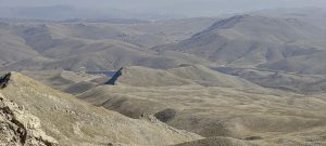
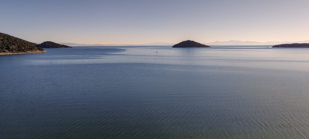
I leave the hotel well before dawn. Surprisingly good roads, and I’m moving relatively fast. But still, it takes almost 3 hours to get to the trailhead. A short stop at the lake, nice views, and a calm morning.

Lake Beyşehir looks nice early in the morning

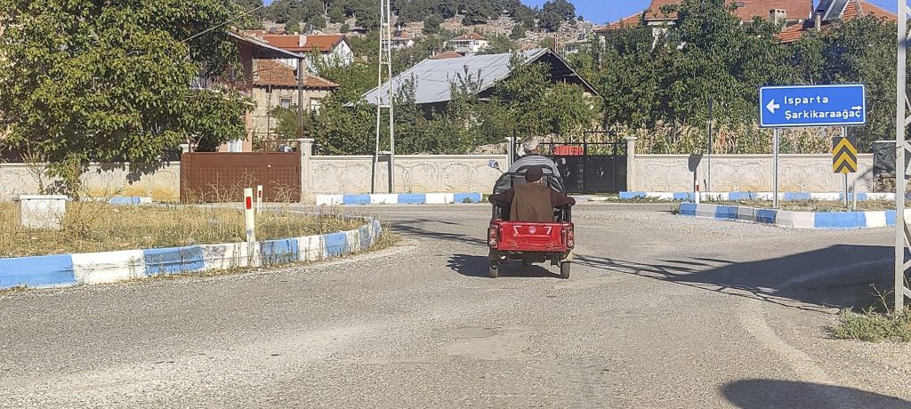
Yenişarbademli, the last bigger town on my way. It is only a few kilometers away from the trailhead, and I’m ready to start climbing. However, the road just ends soon, and I run into the wall of a new dam being built. I drive back half a kilometer, trying to follow the gravel road. Lucky moment: I’m back on the road.

Streets of Yenişarbademli

When I reach the park ‘entrance’, I run into a new obstacle. The road is blocked with signs saying it is under repair. I will have to walk 2.5 kilometers one way, adding an hour round trip. On the other side of a fenced field, I see another road and try to follow it. Bingo, around the corner, I rejoin my planned road. Technically speaking, I have not broken any rule.

Small cemetery at the trailhead

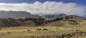
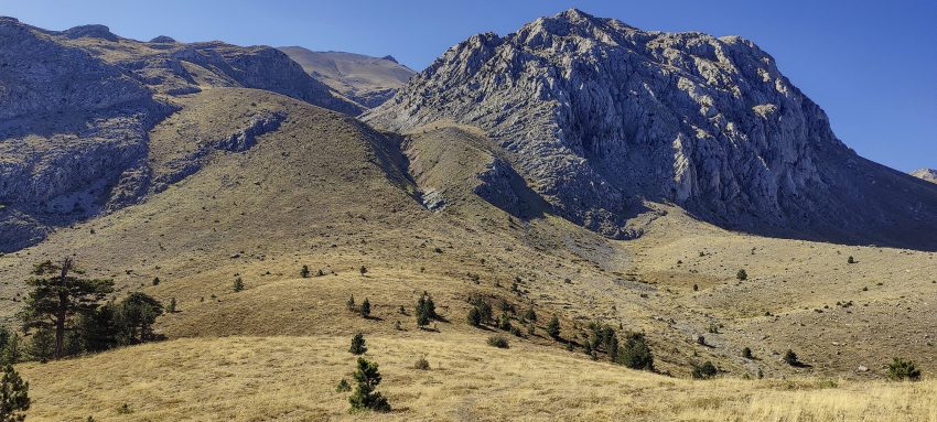
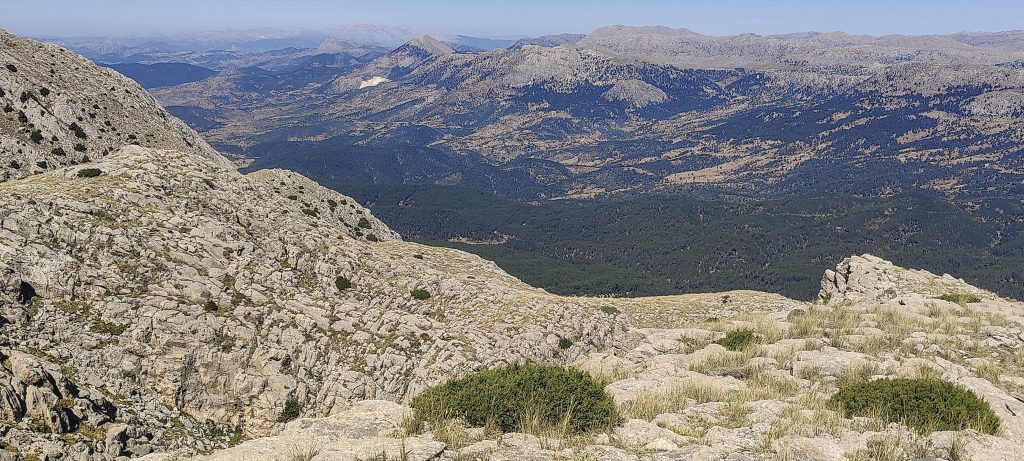
I leave the car at the road junction, 37.69884, 31.29545. I move through the meadows and then through the forest towards the mountain.

Went through gradual meadow
First steeper slope, but not bad

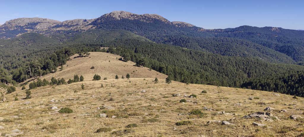
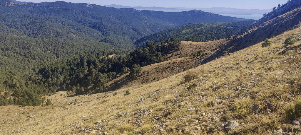
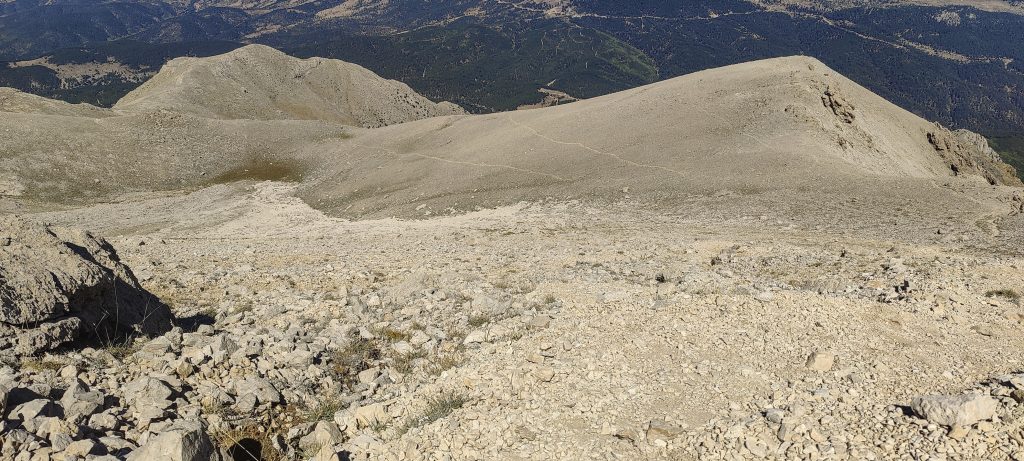
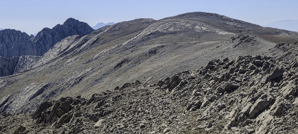
The first steeper slope is reached, the path forks, and I choose the more visible left one.

Here trail forks to visible and “visible on the map only”
View back
Rocky landscape
Valley where I left car
Remote lake Beyşehir
Summit in front

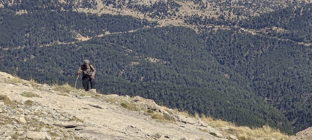
Soon I meet an elderly Mohammed. We get acquainted. I point with my hand to the car in the distance and to the summit on the opposite side. With a nod of his head, he assures me that I’m on the right track. We can’t exchange any more information by gestures, so we go our ways.

Muhammad
Good clear day, with nice views
Lake Beyşehir again
Scree field
Close to the top

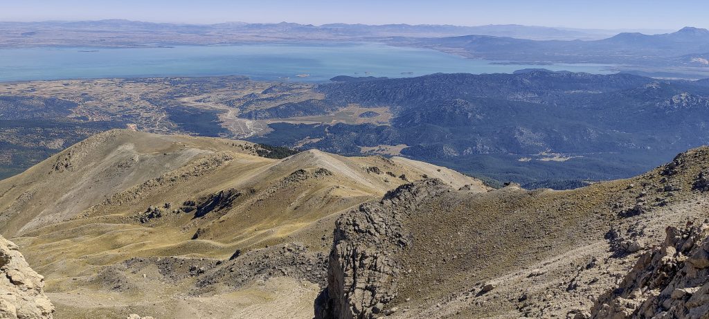
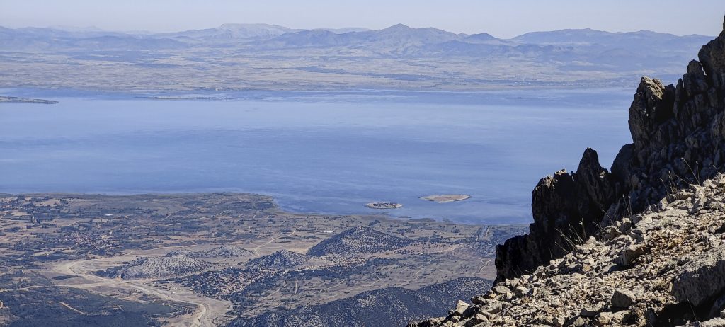
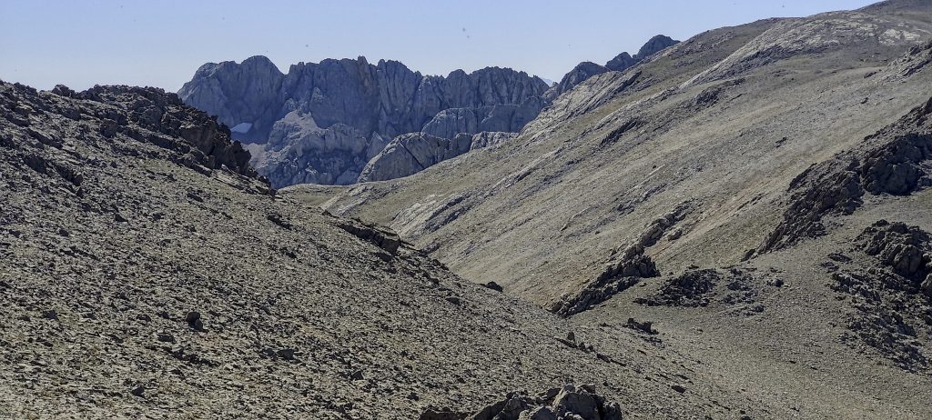
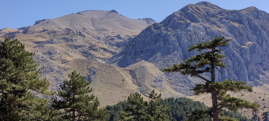
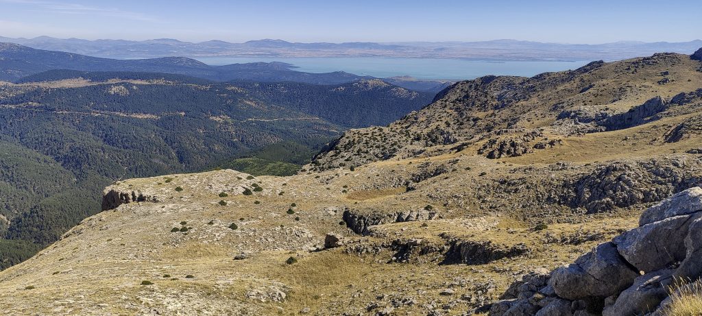
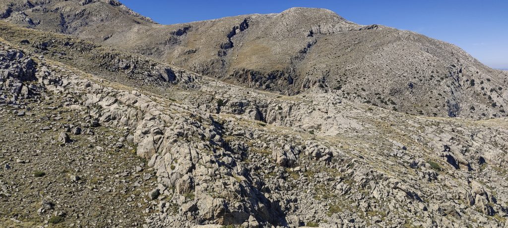
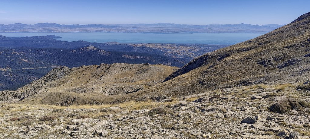
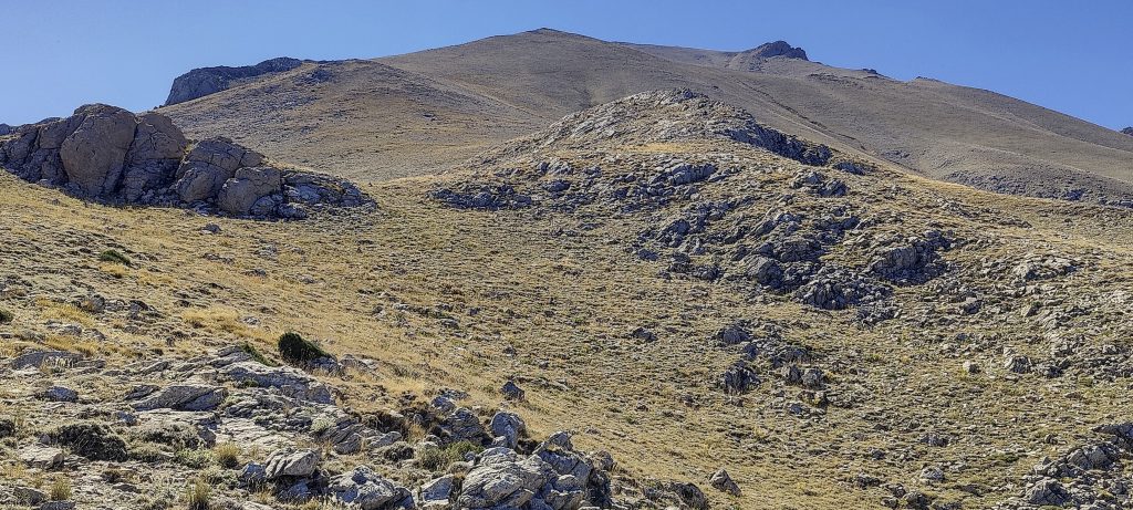
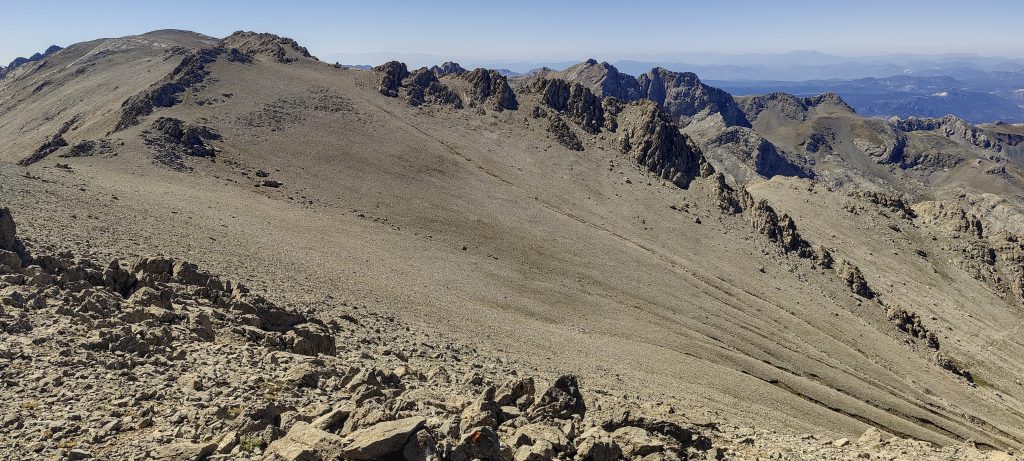
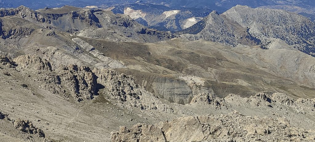
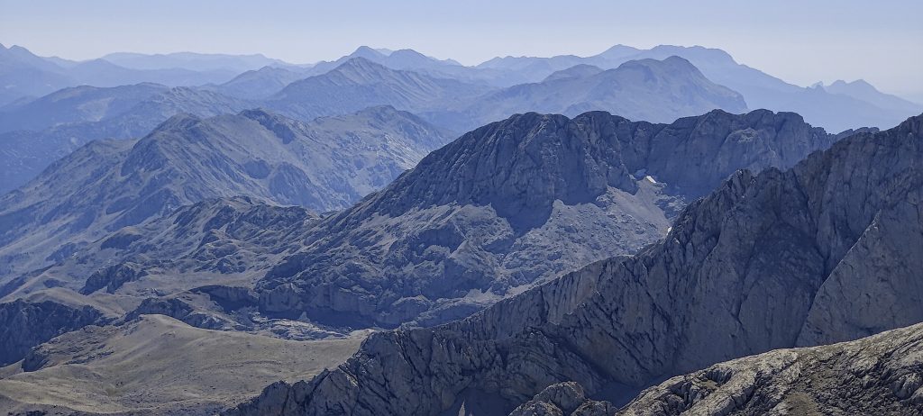
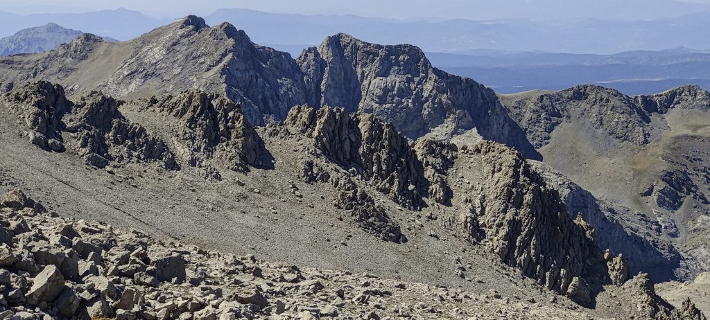
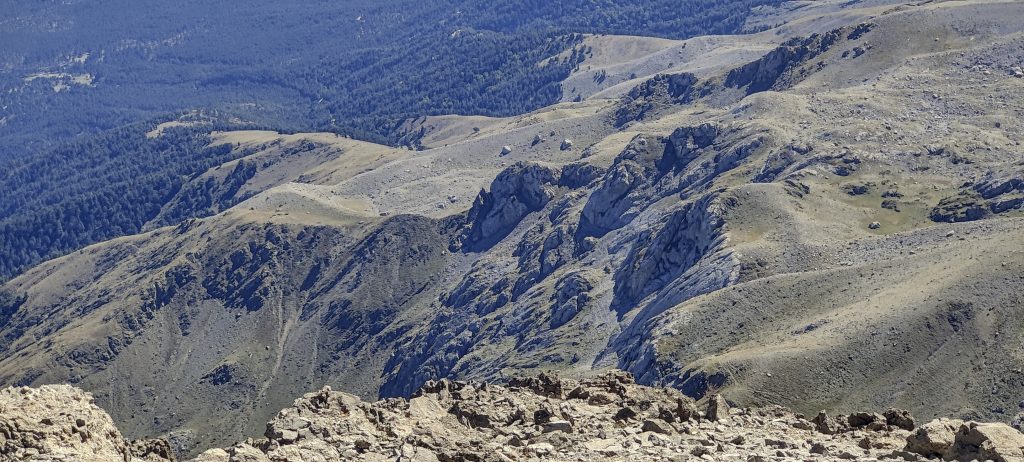
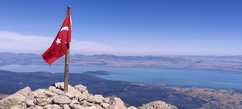
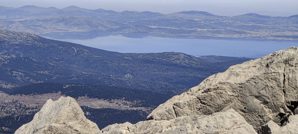
The path climbs up a steep slope, then cuts diagonally across a rocky escarpment. A few more meters and I’m at the top. The flag is at the top, and the scenery is magnificent, including blue Lake Beyşehir.

From the top
View from the top
Remote peaks
Other high points
Ridge
VIew from the summit down the valley
Turkish flag near high point
From the summit

Soon, I find myself walking back on the same road. An hour and a half passes very quickly, and I do not even notice how I get to the car. An easy hike, a beautiful day, and another Turkish ultra peak

From the road, I stopped one more time to take a picture.

Dedegol Tepesi2988 m altitude
1659 m prominence
157.41 km isolation
RangesAsia - Anatolia - Taurus Mountains
Countries/regionsTurkey - Isparta
Distance4.90 km up4.90 km down
Elevation1290 m gain1290 m loss
Time
2h40 up
0h10 other
1h40 down
4h30 total
Trailhead1697 m altitude37.6990000, 31.2953050
Difficulties<p>none</p>
LinksGPX trail
  • Anatolia Mountains 2022
  • « Babadag
  • Davraz Tepe »

Mountain Ranges

Anatolia
Central Anatolia
Pontic Mountains
Southeast Anatolia
Taurus Mountains
Western Anatolia
Andes
Puna de Atacama
Atlas Mountains
High Atlas
Northwestern Atlas
Central America Ranges
Costa Rica-Panama Ranges
Central Central America
East China
Taiwan
Eastern Europe Ranges
Southeast Baltic Plains
Iberian Peninsula
Cordillera Cantabrica
Castile Ranges
Portugal-Galicia
Pyrenees
Intermountain West
Great Basin Ranges
Korea-Amur Area
Taebaek Sanmae
Malay Archipelago
Java
Nusa Tengarra
Sulawesi
Sumatra
Mid-Atlantic Islands
North Atlantic Islands
Mongolia Ranges
Altai
Gobi Desert Ranges
Hangay Mountains
Northwest Europe
Great Britain
North France-West Rhine Area
Pacific Ranges
Cascade Range
Northwest U.S. Coast Ranges
Sierra Nevada
Central and Southern California Ranges
Philippines
Central Philippines
Luzon
Mindanao
Southeast Asia
Malay Peninsula
Southeast South America
Pampas
Sierras de Cordoba
Southern Africa
Malawi Highlands
West Africa Mountains
Bight of Benin
Cameroon Mountains
Guinea Highlands

Countries / regions

Algeria
Ain Guezzam
Ain Salah
Aïn Témouchent
El Bayadh
Ghardaïa
Oran
Ouargla
Saïda
Sidi Bel Abbès
Tamanrasset
Argentina
Catamarca
Ciudad Autónoma de Buenos Aires
Córdoba
Jujuy
Salta
Tucumán
Belgium
Brussels Capital Region
Flemish Region
Cameroon
Southwest
China
Taiwan
Costa Rica
Alajuela
Cartago
Guanacaste
Heredia
Limón
San José
Czechia
Prague
Denmark
Greenland
France
Hauts-de-France
Occitania
Germany
Berlin
Niedersachsen
Indonesia
Bali
Jambi
Jawa Tengah
Jawa Timur
Nusa Tenggara Barat
Sulawesi Tengah
Sulawesi Utara
Sumatera Barat
Lithuania
Vilnius County
Mongolia
Bayankhongor
Govi-Altai
Khovd
Omnogovi
Ovorkhangai
Ulan Bator
Zavkhan
Morocco
Béni Mellal-Khénifra
Drâa-Tafilalet
Fez-Meknes
Marrakesh-Safi
Souss-Massa
Tangier-Tetouan-Al Hoceima
Mozambique
Zambezia
Netherlands
Gelderland
Noord-Holland
Zeeland
Nicaragua
Chinandega
Managua
Masaya
Rivas
Philippines
Bicol Region (V)
Cagayan Valley (II)
Calabarzon (IV-A)
Central Luzon (III)
Cordillera Administrative Region
Davao Region
Metro Manila
Soccsksargen (XII)
Western Visayas (VI)
Poland
Greater Poland Voivodeship
Masovian Voivodeship
Portugal
Castelo Branco
Leiria
Lisbon
Madeira
Santarém
Qatar
Ad-Dawhah
São Tomé and Príncipe
São Tomé Province
Sierra Leone
Northern Province
Western Area
Singapore
South Korea
Gyeongsangnam-do
Seoul
Spain
Aragón
Asturias
Castilla-La Mancha
Castilla y León
Catalonia
Islas Canarias
Switzerland
Zürich
Turkey
Antalya
Bitlis
Erzincan
Hakkâri
Igdir
Isparta
Kahraman Maras
Muğla
United Kingdom
England
Scotland
United States
California
Delaware
Florida
Maryland
Nevada
New Jersey
New York
Pennsylvania
South Carolina
Utah

TRIPS

2024
Southern Africa 2024
Mid-Atlantic Islands 2024
North America 2024
Anatolia 2024
Korea-Amur Area 2024
East China 2024
2023
Mongolia Ranges 2023
Philippines 2023
West Africa III 2023
West Africa II 2023
Iberian Peninsula 2023
West Africa 2023
Central America 2023
2022
Andes 2022
Northwest Europe 2022
Malay Archipelago III 2022
Malay Archipelago II 2022
Anatolia Mountains 2022
Iberian Peninsula 2022
Atlas Mountains 2022
North France-West Rhine Area 2022

archaeology (3) climb (157) food (2) hike (155) p30 (17) p50 (4) p100 (24) p300 (12) p600 (17) p1000 (11) p1500 (76) ribu (10) sight (46) summary (16) trig (44) ultra (76)

1 591 km walked, 121 298 m climbed

©2025 p600.org | WordPress Theme by Superbthemes.com