Skip to content
Menu
p600.org
  • home
  • map
  • trips
  • about
p600.org

Davraz Tepe

hike | 2022-09-29
2635 m altitude, 1553 m prominence, 32.32 km isolation

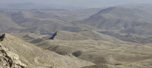
I guess this is my last ultra-peak of this trip in Turkey. I get up in the dark, before 6 am, three hours of driving, and approach the ski station. It is reached by a tarmac road of reasonably good quality. However, after passing a barrier, a gravel road catches my eye. I look at the map, and yes, this road should take me a little closer to the summit than the ski station. I’m driving through a lot of dust, but the road is pretty good.

Top ski lift station and my car

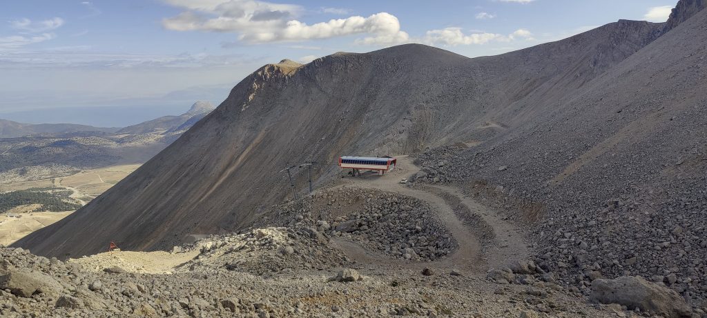
I get to the place where I think I’m going to stop, but I can see that the road winds on. I drive on and come to the lower lift station. Not bad, I have already saved a few hundred vertical metres. I change my shoes and want to start walking. But I see that the road continues to curve upwards. I decide to give it a try. If I don’t succeed, I’ll go back. But the car keeps going going up. I start to understand why the ski slopes were invented… Soon I find myself at the top ski station. As I’m driving along, I meet some locals with an SUV, we say hello, but no other comments follow. Ok, there’s a steep slope in front, I can’t ride with this equipment any more. Stopping a car and start walking.

Catched blue skies, earlier and latter was bit of clouds

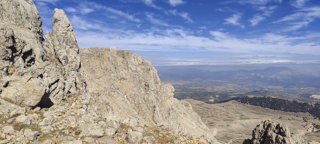
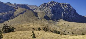
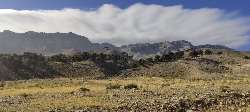
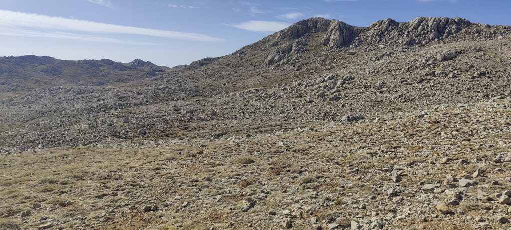
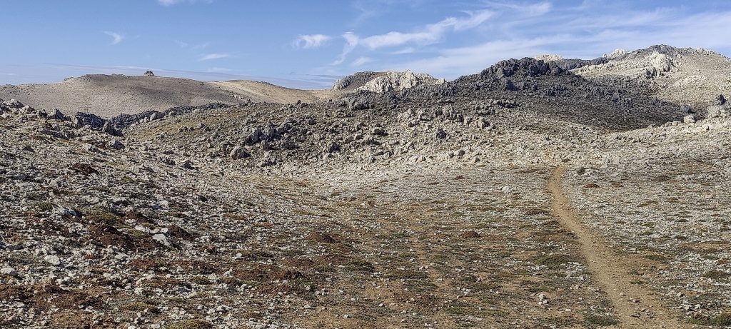
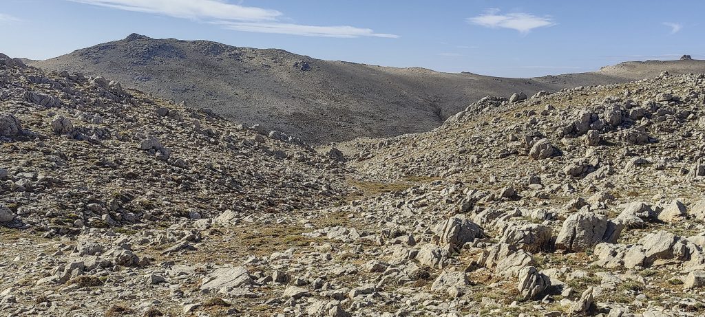
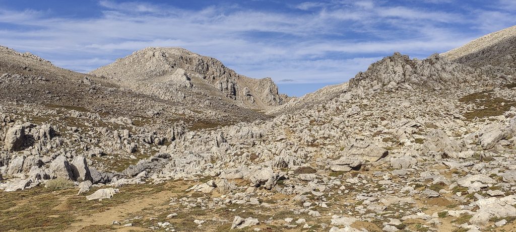
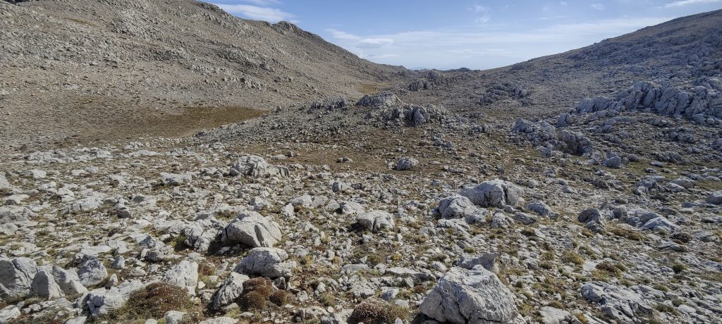
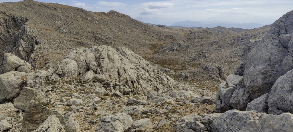
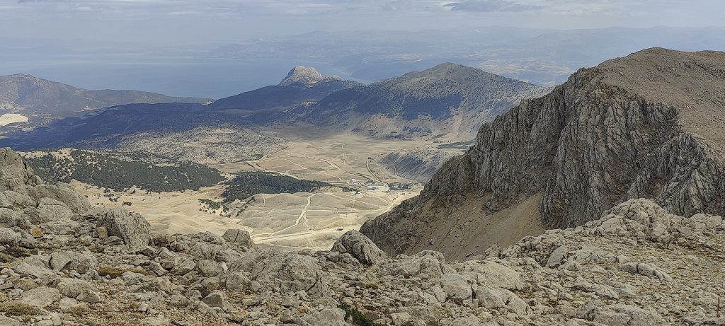
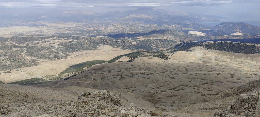
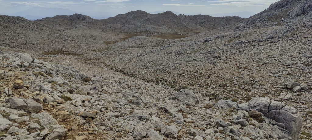
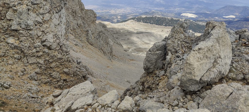
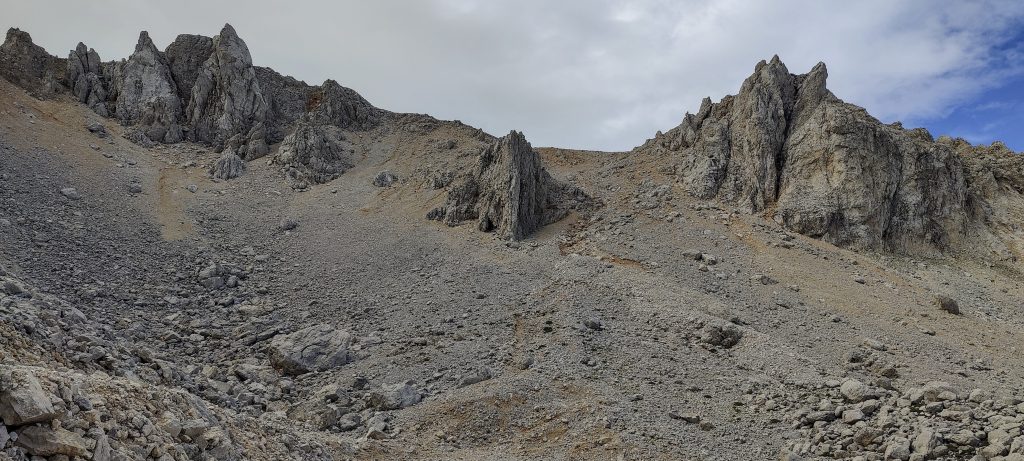
I quickly climb up a clearly visible path to a plateau. It’s still a couple of kilometres to the top, the surface is practically flat. I move quickly and soon reach the last slope. I’m debating whether to take the marked trail around or straight ahead. I choose to go straight. There are a few places where I have to crawl easily over rocks, but this can be avoided.

Approximately 2 km to the summit
Visible trail, all the way to the top
Quite flat terrain
Summit in fornt
Huston, Huston – we landed..

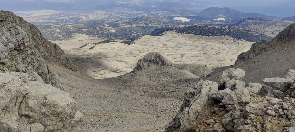
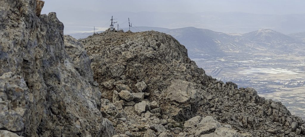
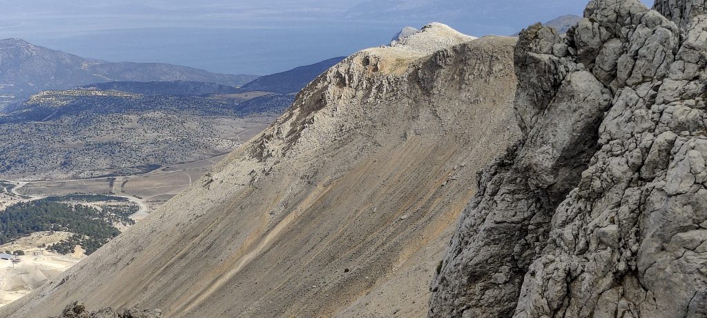
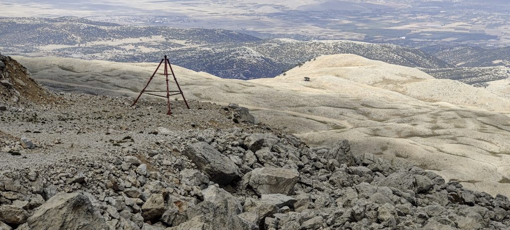
A Turkish flag flies near the top. A few antennas can be seen further on. I look around, and take the marked path down. Later, I follow the same path as I came.

View from the summit
Came from this side
Another view from the summit
Turkish flag and accent register
Few pinnacles on the way
Down to the valley
Radio antenas
Quite flat walk, i can hear dogs barking somewhere close
Views from the plateau border
Scree slopes but not today
Two ‘Beiruths’ can be found next to the top ski station

I had allocated 6-7 hours, but it takes me one and a half. Of course, to be fair, you have to factor in the time in the car going up. Let’s say another hour. Anyway, not bad, I made it twice as fast.

Steepest part of the climb, next to the top ski station

On this trip, I added six new peaks to my ultra bag. Driving back without rush and planing my future trips.


Davraz Tepe 2635 m altitude
1553 m prominence
32.32 km isolation
Ranges Asia - Anatolia - Western Anatolia
Countries/regions Turkey - Isparta
Distance 3.00 km up 3.00 km down
Elevation 268 m gain 268 m loss
Time
0h40 up
0h05 other
0h40 down
1h25 total
Trailhead 2367 m altitude 37.7572500, 30.7453330
Difficulties

driving a rented car to the upper ski lift station

Links GPX trail
  •  Anatolia Mountains 2022
  • « Dedegol Tepesi
  • Antalya »

Mountain Ranges

Anatolia
Taurus Mountains
Western Anatolia
Andes
Puna de Atacama
Atlas Mountains
High Atlas
Northwestern Atlas
Central America Ranges
Costa Rica-Panama Ranges
Central Central America
Eastern Europe Ranges
Southeast Baltic Plains
Iberian Peninsula
Cordillera Cantabrica
Castile Ranges
Portugal-Galicia
Pyrenees
Malay Archipelago
Java
Nusa Tengarra
Sulawesi
Sumatra
Northwest Europe
Great Britain
North France-West Rhine Area
Southeast South America
Pampas
Sierras de Cordoba
West Africa Mountains
Bight of Benin
Cameroon Mountains

Countries / regions

Algeria
Ain Guezzam
Ain Salah
Aïn Témouchent
El Bayadh
Ghardaïa
Oran
Ouargla
Saïda
Sidi Bel Abbès
Tamanrasset
Argentina
Catamarca
Ciudad Autónoma de Buenos Aires
Córdoba
Jujuy
Salta
Tucumán
Belgium
Flemish Region
Brussels Capital Region
Cameroon
Southwest
Costa Rica
Alajuela
Cartago
Guanacaste
Heredia
Limón
San José
Czechia
Prague
Denmark
Greenland
France
Hauts-de-France
Germany
Berlin
Niedersachsen
Indonesia
Bali
Jambi
Jawa Tengah
Jawa Timur
Nusa Tenggara Barat
Sulawesi Tengah
Sulawesi Utara
Sumatera Barat
Lithuania
Vilnius County
Morocco
Béni Mellal-Khénifra
Drâa-Tafilalet
Fez-Meknes
Marrakesh-Safi
Souss-Massa
Tangier-Tetouan-Al Hoceima
Netherlands
Gelderland
Noord-Holland
Nicaragua
Chinandega
Managua
Masaya
Rivas
Poland
Greater Poland Voivodeship
Masovian Voivodeship
Portugal
Castelo Branco
Leiria
Lisbon
Santarém
São Tomé and Príncipe
São Tomé Province
Spain
Aragón
Asturias
Castilla-La Mancha
Castilla y León
Switzerland
Zürich
Turkey
Antalya
Isparta
Muğla
United Kingdom
England
Scotland
United States
Delaware
Florida
Georgia
Maryland
New Jersey
New York
North Carolina
South Carolina
Pennsylvania
Virginia

TRIPS

2023
West Africa 2023 II
Iberian Peninsula 2023
West Africa 2023
Central America 2023
2022
Andes 2022
Northwest Europe 2022
Malay Archipelago III 2022
Malay Archipelago II 2022
Anatolia Mountains 2022
Iberian Peninsula 2022
Atlas Mountains 2022

archaeology (3) climb (69) food (2) hike (68) p30 (3) p100 (9) p300 (8) p600 (13) p1000 (5) p1500 (34) ribu (4) sight (34) summary (11) ultra (34)

839 km walked, 65 247 m climbed

©2023 p600.org | WordPress Theme by Superbthemes.com