Skip to content
Menu
p600.org
  • home
  • map
  • trips
  • about
p600.org

Geyik Daglari

hike | 2022-09-19

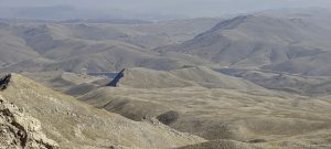
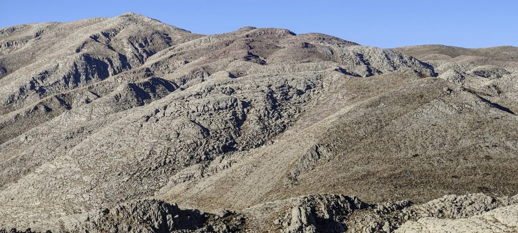
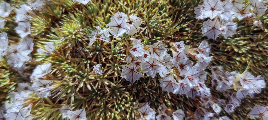
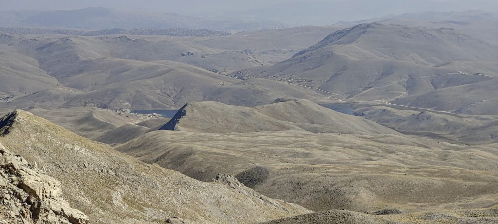
I drive on good roads and soon it’s starting to get light, great scenery all around.

View from a car window
Nearing the trailhead

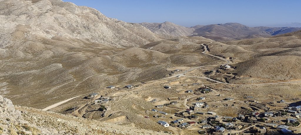
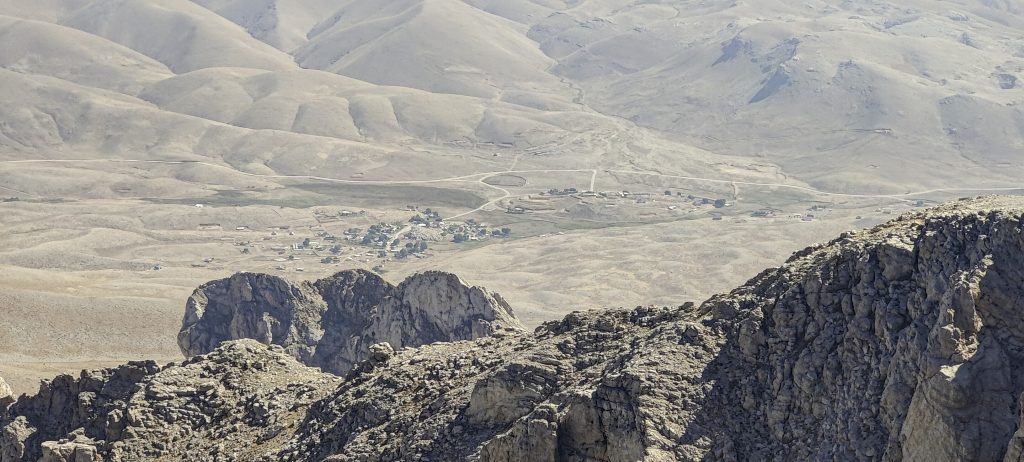
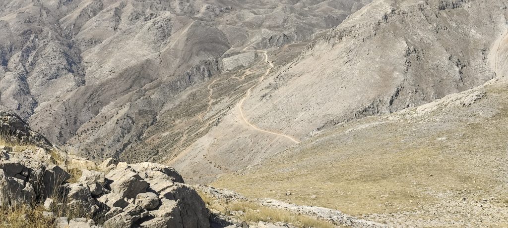
I arrive at a settlement which is quite empty in the early morning. I drive up a poor quality road, but the last few hundred metres are even more difficult. I can hear the stone scraping the bottom. uhh.The rental company said that there was a GPS tracker in the car, but I hoped there was no microphone. At 36.906527, 32.148833, I arrive at a flat square with sheep sheds, change my shoes and start climbing.

I parked my car just above this settlement
Looking back

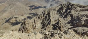
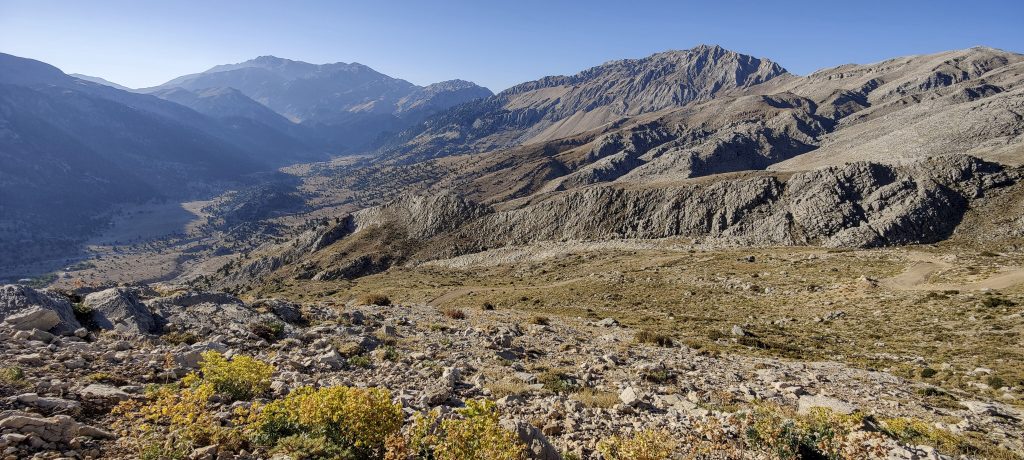
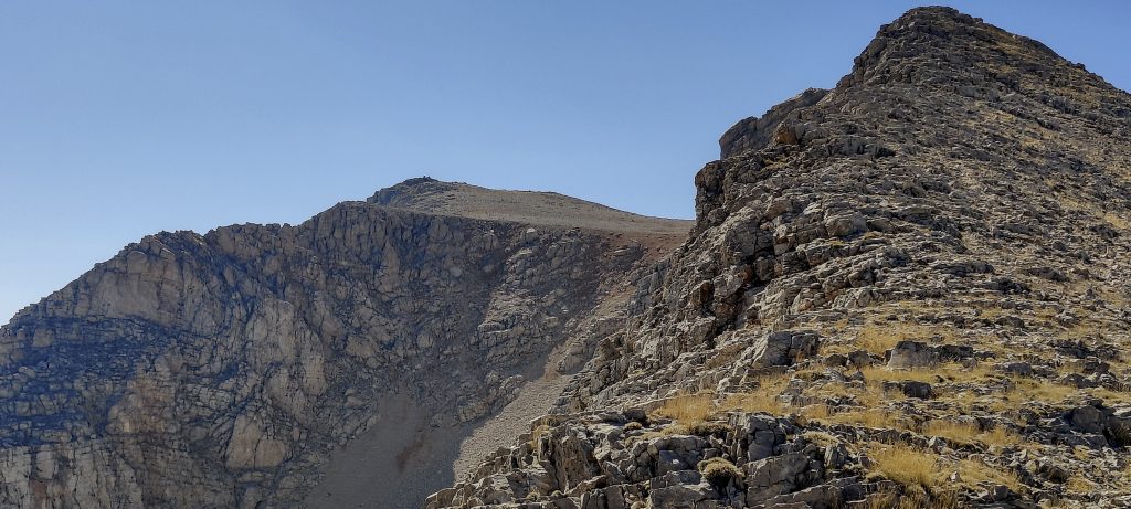
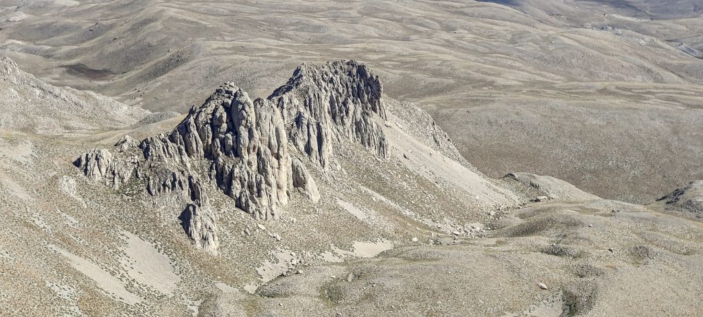
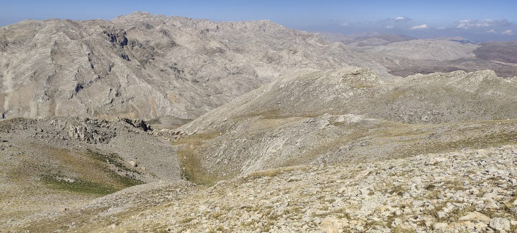
For a few hundred meters, I follow a shepherd’s path next to a rock band, which I cross later. Easy scramble, nothing complicated.

Not very steep ditches up

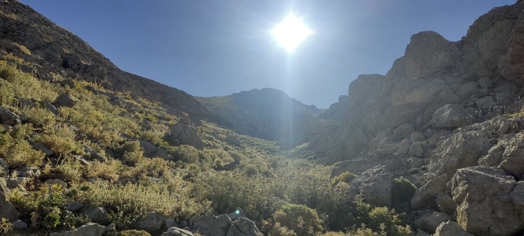
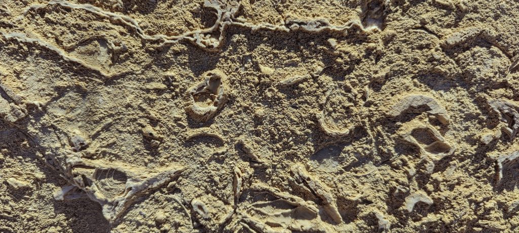
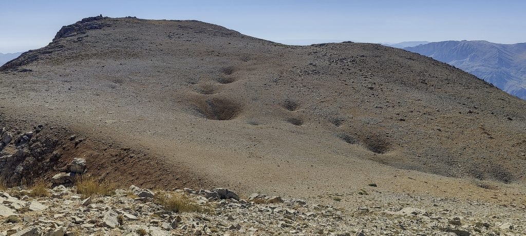
My route is not very steep. I go around a few potholes.

I will go down this meadow
A bit of unweathered greenery
The valley I came from
Impressive surrounding peaks
Maybe fossils?
Climbing up to the ridge

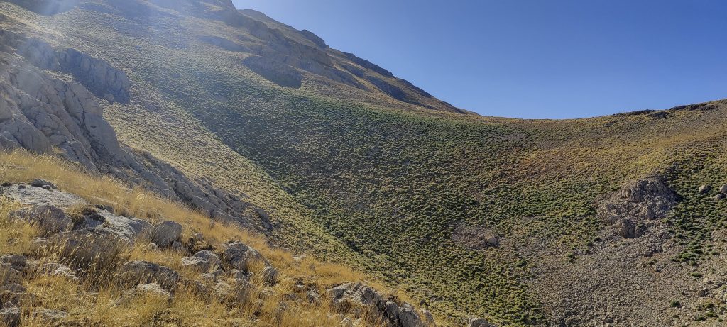
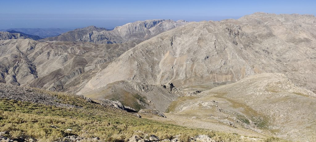
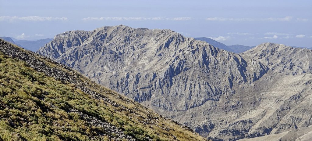
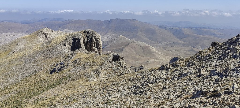
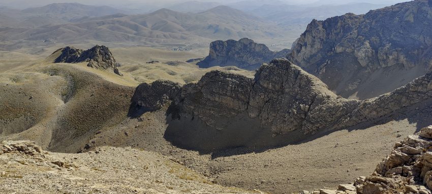
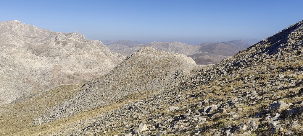
I reach the ridge from which I first saw the summit. I start by visiting the slightly lower summit of Utele Dagi (p30?).

The top is finally in view
Landscape
The summit is still a couple of hundred metres away
Downward views
Pinnacle
Summit cairn

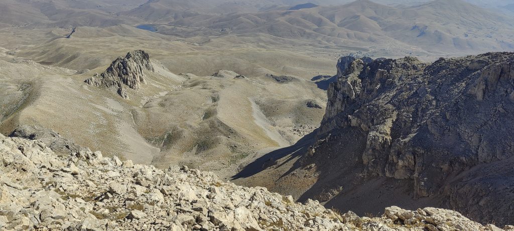
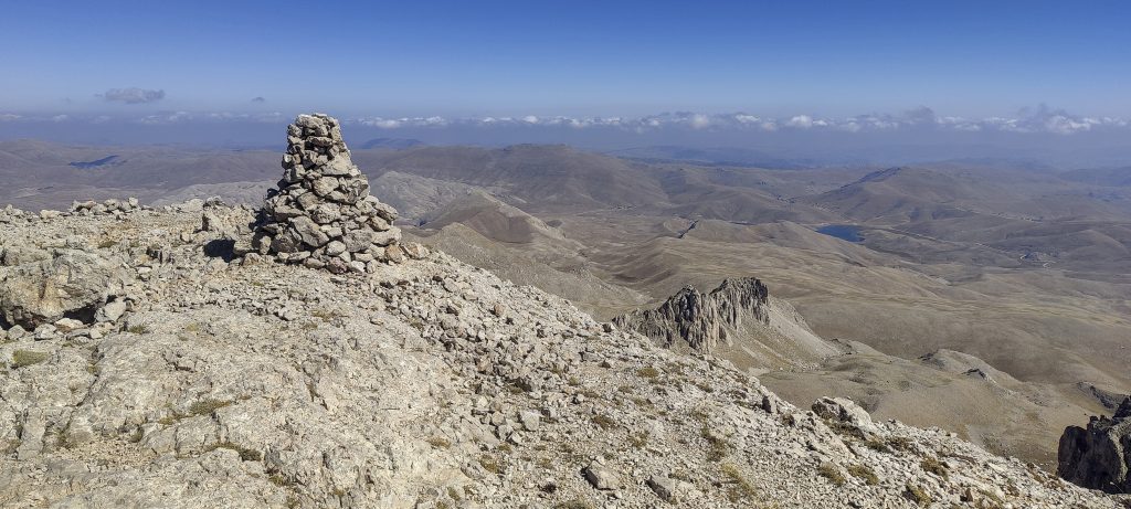
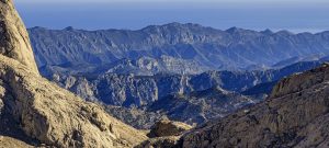
A cairn at the top, great views all around. After a good ten minutes of rest, I climbed down. This time I shorten the route a bit and don’t go all the way to the saddle.

Interesting rock formations
Settlements in the distance
From the top
Neighbouring peaks
On the way down
A road that could be used to get closer

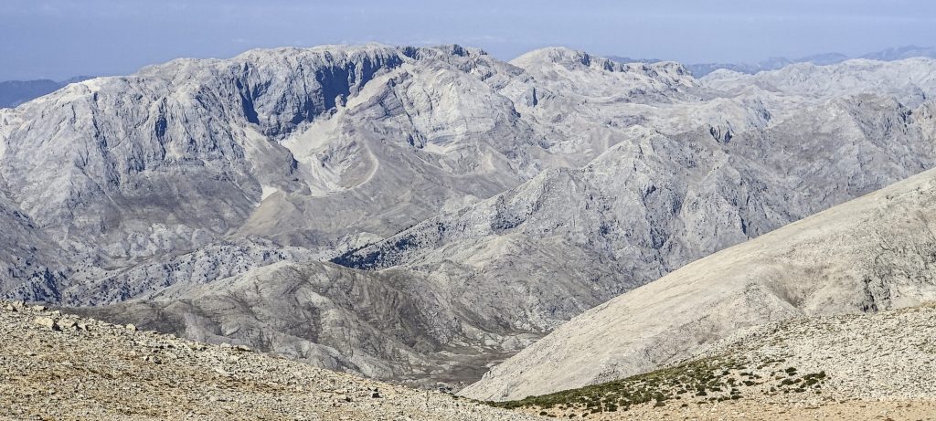
The first of several planned ultra peaks in Turkey. A great day was just started.


Geyik Daglari2887 m altitude
1543 m prominence
113.77 km isolation
RangesAsia - Anatolia - Taurus Mountains
Countries/regionsTurkey - Antalya
Distance3.50 km up3.50 km down
Elevation740 m gain740 m loss
Time
2h00 up
0h05 other
1h35 down
3h40 total
Trailhead2136 m altitude36.9065270, 32.1488330
Difficulties<p>none</p>
LinksGPX trail
  • Anatolia Mountains 2022
  • « Iberian Peninsula 2022
  • Kizlar Sivrisi »

Mountain Ranges

Anatolia
Central Anatolia
Pontic Mountains
Southeast Anatolia
Taurus Mountains
Western Anatolia
Andes
Puna de Atacama
Atlas Mountains
High Atlas
Northwestern Atlas
Central America Ranges
Costa Rica-Panama Ranges
Central Central America
East China
Taiwan
Eastern Europe Ranges
Southeast Baltic Plains
Iberian Peninsula
Cordillera Cantabrica
Castile Ranges
Portugal-Galicia
Pyrenees
Intermountain West
Great Basin Ranges
Korea-Amur Area
Taebaek Sanmae
Malay Archipelago
Java
Nusa Tengarra
Sulawesi
Sumatra
Mid-Atlantic Islands
North Atlantic Islands
Mongolia Ranges
Altai
Gobi Desert Ranges
Hangay Mountains
Northwest Europe
Great Britain
North France-West Rhine Area
Pacific Ranges
Cascade Range
Northwest U.S. Coast Ranges
Sierra Nevada
Central and Southern California Ranges
Philippines
Central Philippines
Luzon
Mindanao
Southeast Asia
Malay Peninsula
Southeast South America
Pampas
Sierras de Cordoba
Southern Africa
Malawi Highlands
West Africa Mountains
Bight of Benin
Cameroon Mountains
Guinea Highlands

Countries / regions

Algeria
Ain Guezzam
Ain Salah
Aïn Témouchent
El Bayadh
Ghardaïa
Oran
Ouargla
Saïda
Sidi Bel Abbès
Tamanrasset
Argentina
Catamarca
Ciudad Autónoma de Buenos Aires
Córdoba
Jujuy
Salta
Tucumán
Belgium
Brussels Capital Region
Flemish Region
Cameroon
Southwest
China
Taiwan
Costa Rica
Alajuela
Cartago
Guanacaste
Heredia
Limón
San José
Czechia
Prague
Denmark
Greenland
France
Hauts-de-France
Occitania
Germany
Berlin
Niedersachsen
Indonesia
Bali
Jambi
Jawa Tengah
Jawa Timur
Nusa Tenggara Barat
Sulawesi Tengah
Sulawesi Utara
Sumatera Barat
Lithuania
Vilnius County
Mongolia
Bayankhongor
Govi-Altai
Khovd
Omnogovi
Ovorkhangai
Ulan Bator
Zavkhan
Morocco
Béni Mellal-Khénifra
Drâa-Tafilalet
Fez-Meknes
Marrakesh-Safi
Souss-Massa
Tangier-Tetouan-Al Hoceima
Mozambique
Zambezia
Netherlands
Gelderland
Noord-Holland
Zeeland
Nicaragua
Chinandega
Managua
Masaya
Rivas
Philippines
Bicol Region (V)
Cagayan Valley (II)
Calabarzon (IV-A)
Central Luzon (III)
Cordillera Administrative Region
Davao Region
Metro Manila
Soccsksargen (XII)
Western Visayas (VI)
Poland
Greater Poland Voivodeship
Masovian Voivodeship
Portugal
Castelo Branco
Leiria
Lisbon
Madeira
Santarém
Qatar
Ad-Dawhah
São Tomé and Príncipe
São Tomé Province
Sierra Leone
Northern Province
Western Area
Singapore
South Korea
Gyeongsangnam-do
Seoul
Spain
Aragón
Asturias
Castilla-La Mancha
Castilla y León
Catalonia
Islas Canarias
Switzerland
Zürich
Turkey
Antalya
Bitlis
Erzincan
Hakkâri
Igdir
Isparta
Kahraman Maras
Muğla
United Kingdom
England
Scotland
United States
California
Delaware
Florida
Maryland
Nevada
New Jersey
New York
Pennsylvania
South Carolina
Utah

TRIPS

2024
Southern Africa 2024
Mid-Atlantic Islands 2024
North America 2024
Anatolia 2024
Korea-Amur Area 2024
East China 2024
2023
Mongolia Ranges 2023
Philippines 2023
West Africa III 2023
West Africa II 2023
Iberian Peninsula 2023
West Africa 2023
Central America 2023
2022
Andes 2022
Northwest Europe 2022
Malay Archipelago III 2022
Malay Archipelago II 2022
Anatolia Mountains 2022
Iberian Peninsula 2022
Atlas Mountains 2022
North France-West Rhine Area 2022

archaeology (3) climb (157) food (2) hike (155) p30 (17) p50 (4) p100 (24) p300 (12) p600 (17) p1000 (11) p1500 (76) ribu (10) sight (46) summary (16) trig (44) ultra (76)

1 591 km walked, 121 298 m climbed

©2025 p600.org | WordPress Theme by Superbthemes.com