Skip to content
Menu
p600.org
  • home
  • map
  • trips
  • about
p600.org

Manado Tua

hike | 2022-10-29

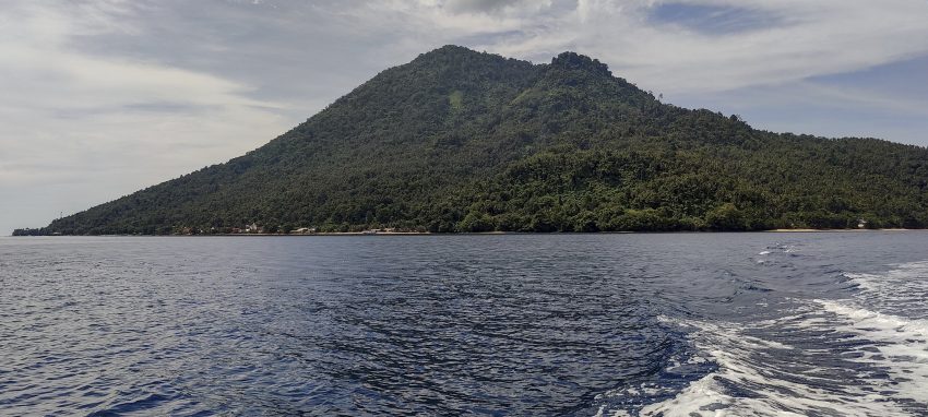
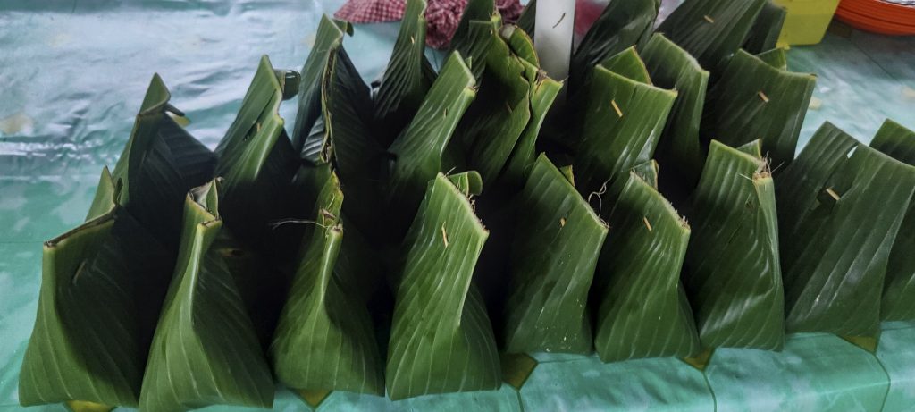
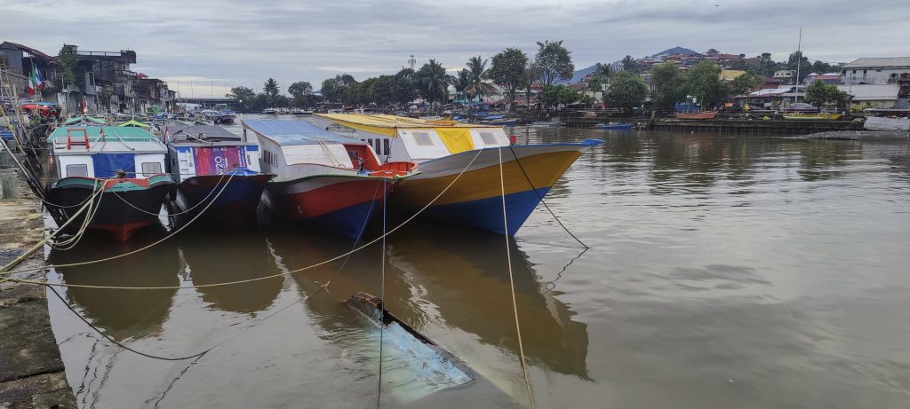
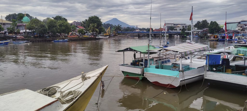
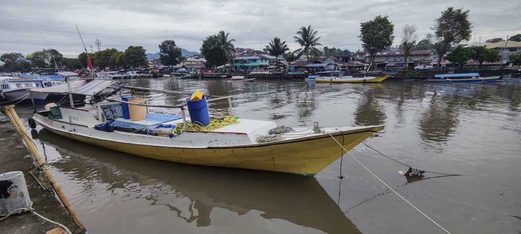
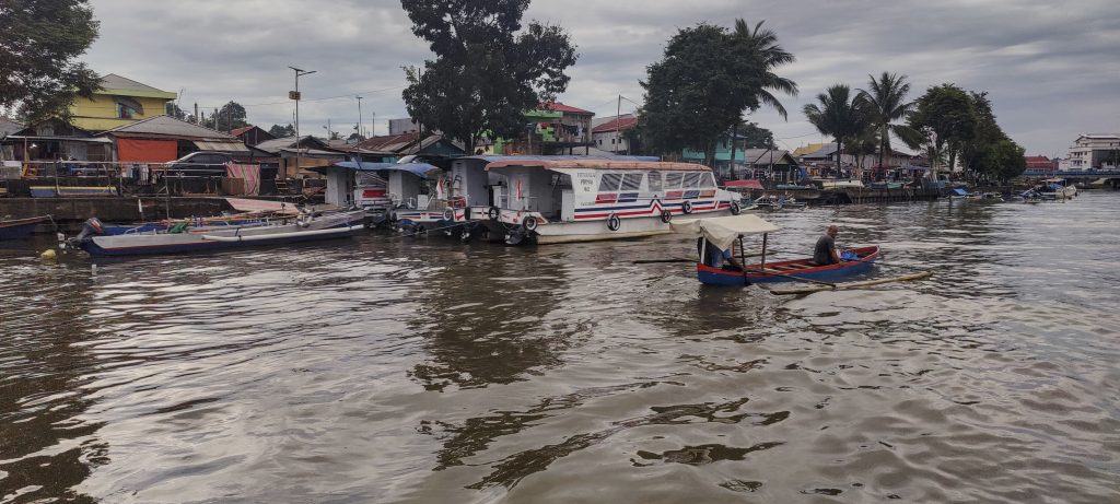
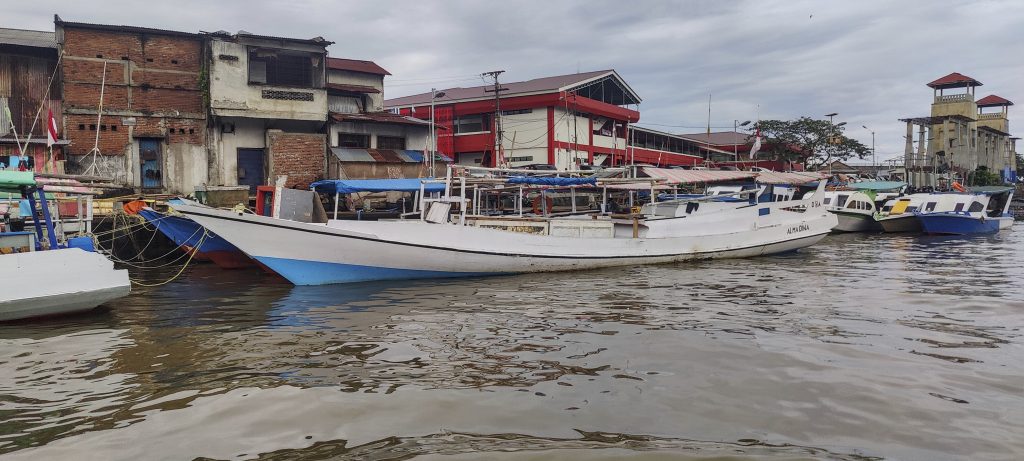
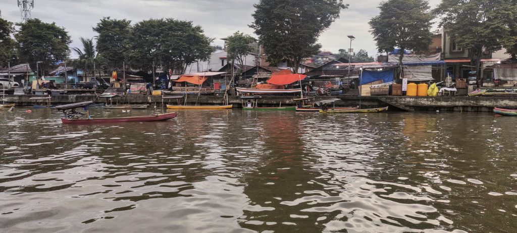
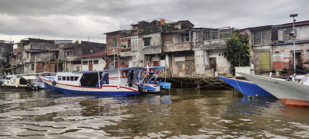
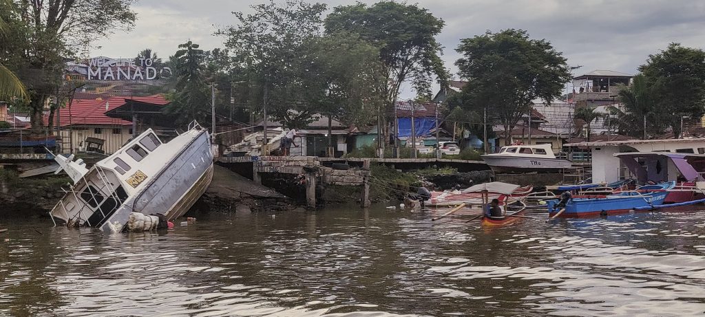
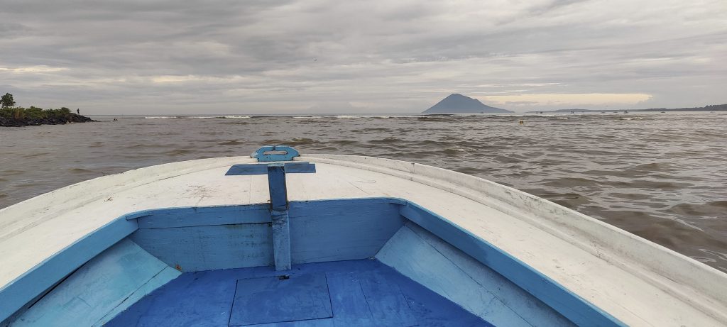
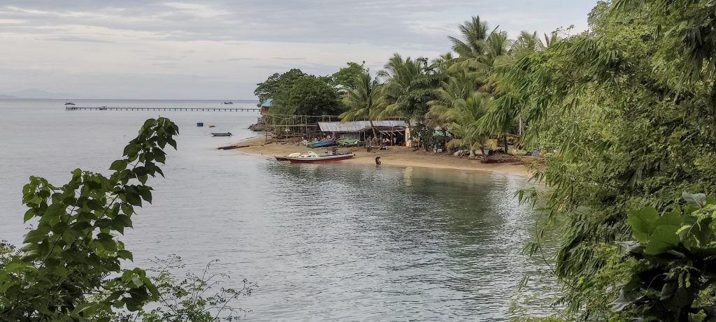
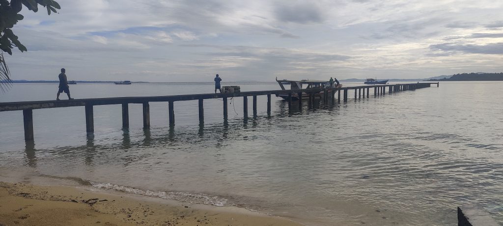
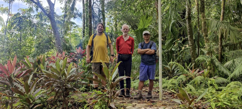
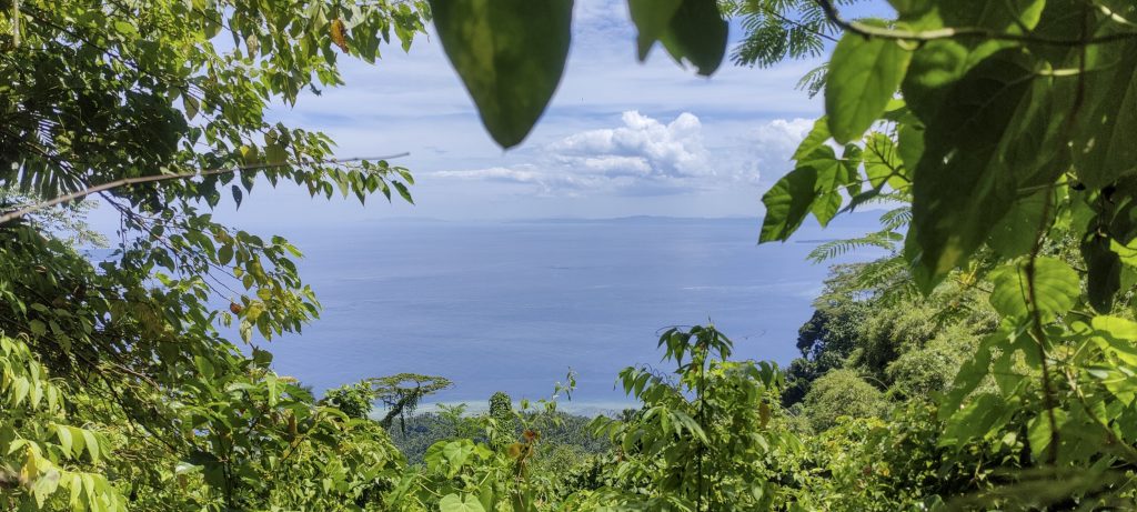
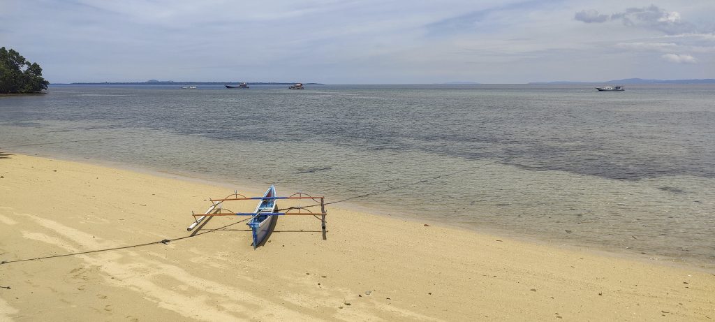
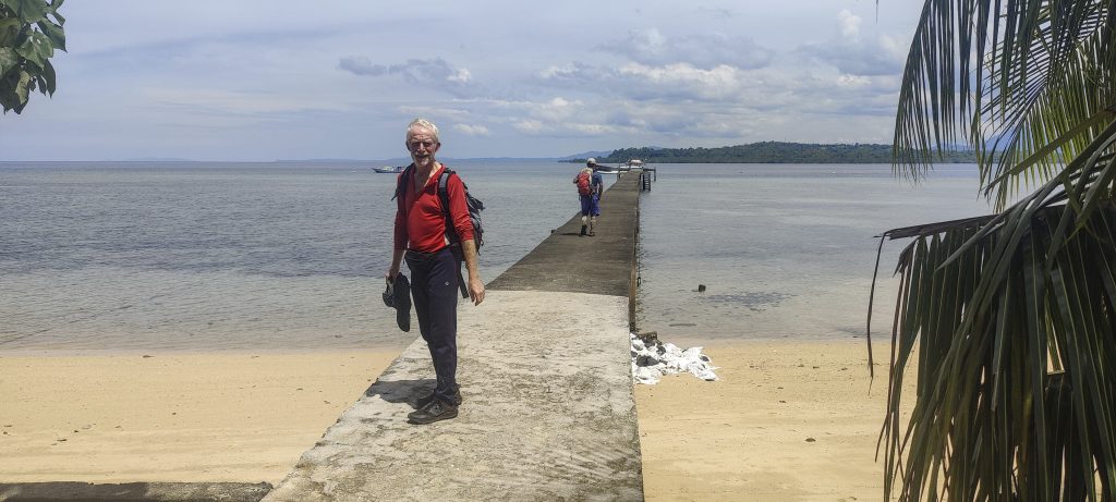
Old Manado is the translated name of the island. We plan to visit the island, climb highpoint in the morning, and then climb mount Lokon on Sulawesi in the afternoon. It’s a tight schedule, but it’s totally doable. Early in the morning, we buy some buns on the street and come to the river harbor. A small boat owned by a local fisherman is waiting for us. The eighteen-kilometre trip took an hour and a half. It was interesting to watch the ocean waves collide with the outgoing river.

A typical dessert with sweet rice inside
One of the few Manado harbours
Manado Tua mountain is in the background.

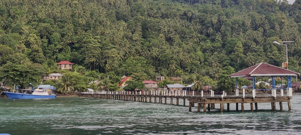
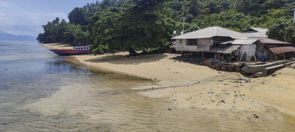
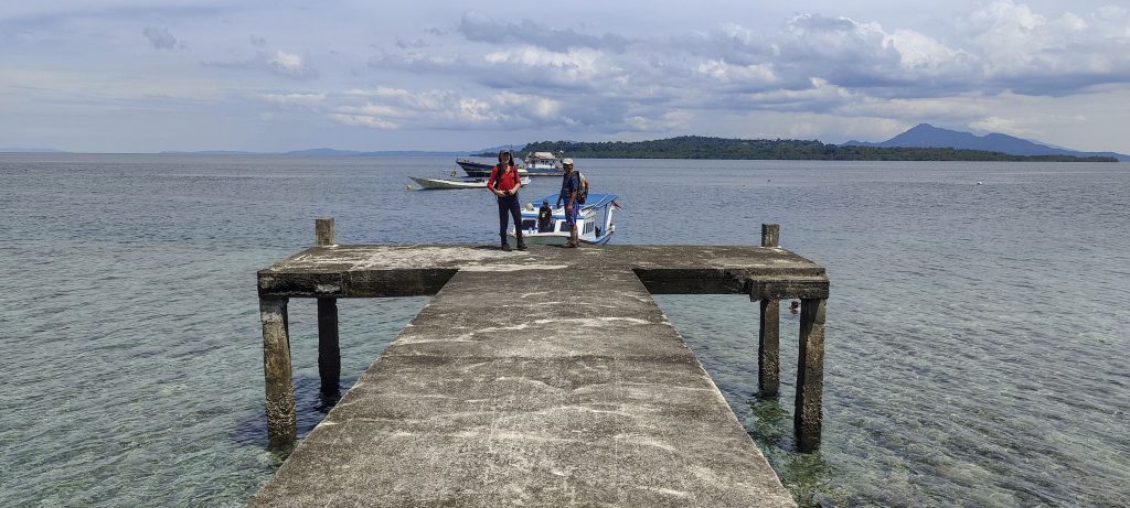
Our disembarkation at the south island settlement is causing a stir, with locals claiming it is unwise to climb the mountain without a guide..Well, we ask a few of them if they would be willing to accompany us, but we don’t get any concrete offers. We walk toward a village on the east side of the island. Judging from the map and the information we have, there must be a path leading to the summit.

Arriving on the island
Churches on the coast
Surprising long pier over the shallow coast
People live on the coast of the island
Fishing boats

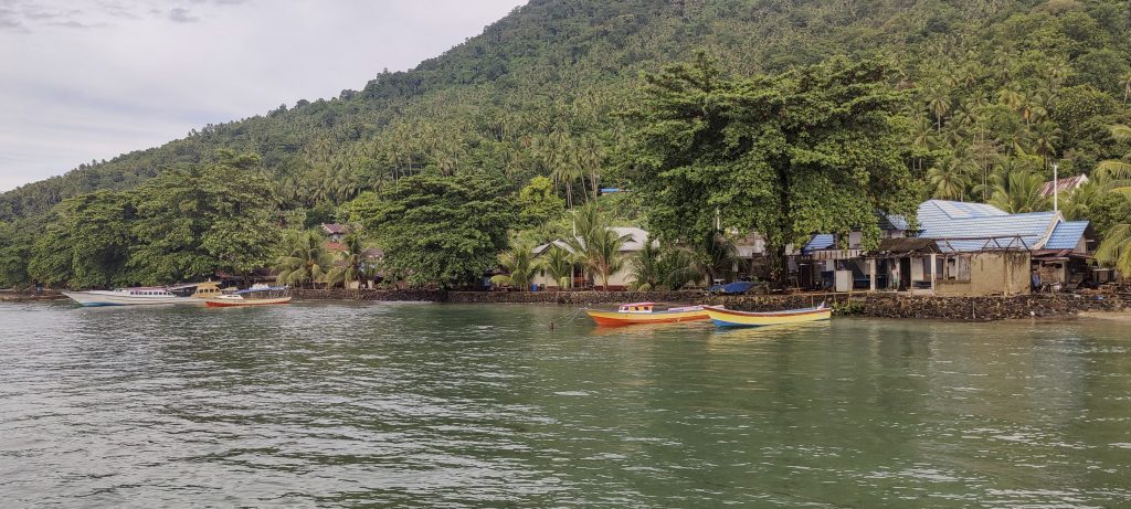
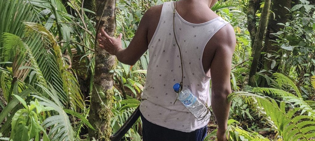
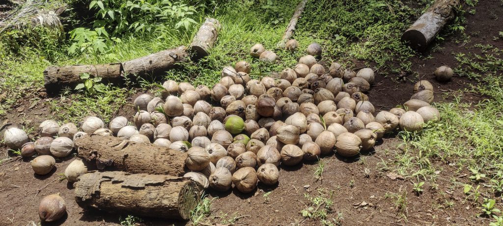
In the second settlement, the story repeats itself. We are not allowed to go without a guide, but all the guides are fishing at the moment. We agree with the local English teacher that we’d better buy lunch instead of a guide when we come down the mountain. The deal works for both sides, so we start walking alone. In one of the cultivated fields, we meet a man and ask him if he knows how to get to the top. We get an affirmative answer and ask if he would be willing to accompany us to the top. He agrees, but says he needs to change his clothes. Soon he comes back, barefoot and with a machete. He also carries an ultralight-one-bottle-hand-made backpack. Nice! Something to learn.

Local guide
Really ultralight gear
Costus osae ??

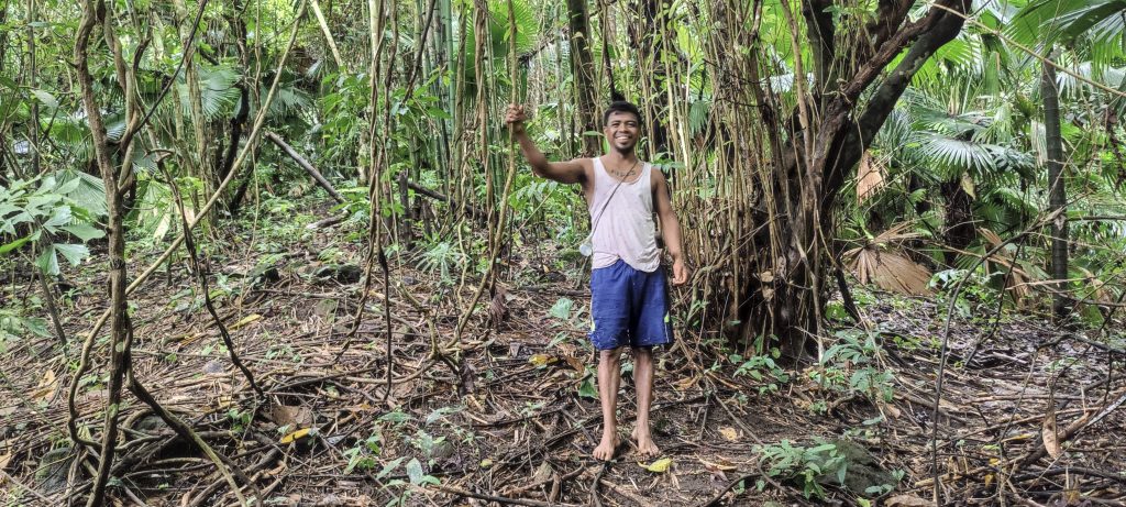
I guess there is a normal trail to the top, but our guide cuts the trail short and leads us through the jungle. impressive, especially considering that he is barefoot and still has to wait for us. At the top, we find a flagpole, a triangulation pillar, a monument, and a fenced-off pit dug by the locals in search of treasure supposedly hidden by the Dutch. I wonder if they found anything.

Rob (middle), Aris (right) and myself (left) at the summit
Flagpole and monument
Triangulation pillar
One of the rare views of the ocean

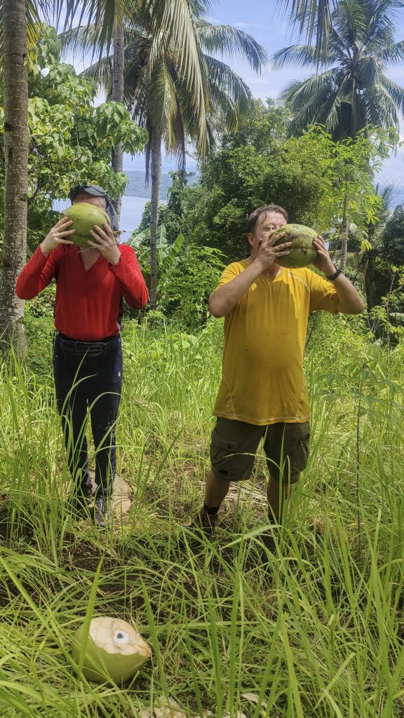
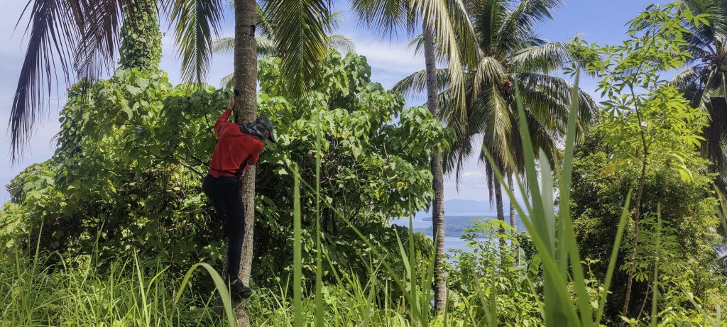
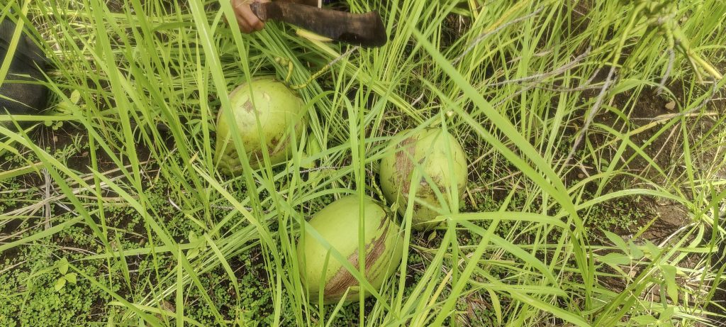
As we descend, our guide climbs up a palm tree and picks a coconut for us. He pokes a hole in it so we can drink through it. That was nice, thanks!

In one day, a good climber can harvest the crop from 50 trees
A typical coconut water consumer can consume 1-2 coconuts per day.
Rob begins his career as a coconut palm climber
Collecting from the tree is just half the story—one needs to open it
Old coconut shells

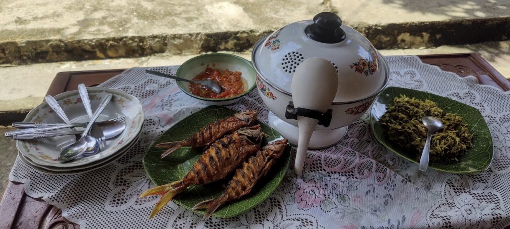
An agreement is an agreement. A fine lunch awaits us as we descend the mountain. For dessert, we get “apple-mangoes”, which the children pick for us straight from the tree. Fruit that is raw, a little sour, and very tasty! 

Islands’ English teacher organised lunch for us. Thanks!
English teacher with kids, Rob, and myself
Nice sandy beaches and another long pier
Bye bye, Manado Tua

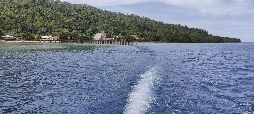
We don’t stay long; we sail back to Sulawesi Island, and today we have an evening climb up Mount Lokon.


Manado Tua805 m altitude
805 m prominence
27.70 km isolation
RangesAsia – Malay Archipelago – Sulawesi
Countries/regionsIndonesia – Sulawesi Utara
Distance4.50 km up4.50 km down
Elevation802 m gain802 m loss
Time
2h00 up
0h10 other
1h40 down
3h50 total
Trailhead2 m altitude1.6322770, 124.7157770
Difficulties<p style="color: #252525;">it's hard to find the trailhead and follow the trail for the first few hundred meters.</p>
LinksGPX trail
  • Malay Archipelago III 2022
  • « Pulau Gunatin High Point
  • Lokon »

Mountain Ranges

Anatolia
Central Anatolia
Pontic Mountains
Southeast Anatolia
Taurus Mountains
Western Anatolia
Andes
Puna de Atacama
Atlas Mountains
High Atlas
Northwestern Atlas
Central America Ranges
Costa Rica-Panama Ranges
Central Central America
East China
Taiwan
Eastern Europe Ranges
Southeast Baltic Plains
Iberian Peninsula
Cordillera Cantabrica
Castile Ranges
Portugal-Galicia
Pyrenees
Intermountain West
Great Basin Ranges
Korea-Amur Area
Taebaek Sanmae
Malay Archipelago
Java
Nusa Tengarra
Sulawesi
Sumatra
Mid-Atlantic Islands
North Atlantic Islands
Mongolia Ranges
Altai
Gobi Desert Ranges
Hangay Mountains
Northwest Europe
Great Britain
North France-West Rhine Area
Pacific Ranges
Cascade Range
Northwest U.S. Coast Ranges
Sierra Nevada
Central and Southern California Ranges
Philippines
Central Philippines
Luzon
Mindanao
Southeast Asia
Malay Peninsula
Southeast South America
Pampas
Sierras de Cordoba
Southern Africa
Malawi Highlands
West Africa Mountains
Bight of Benin
Cameroon Mountains
Guinea Highlands

Countries / regions

Algeria
Ain Guezzam
Ain Salah
Aïn Témouchent
El Bayadh
Ghardaïa
Oran
Ouargla
Saïda
Sidi Bel Abbès
Tamanrasset
Argentina
Catamarca
Ciudad Autónoma de Buenos Aires
Córdoba
Jujuy
Salta
Tucumán
Belgium
Brussels Capital Region
Flemish Region
Cameroon
Southwest
China
Taiwan
Costa Rica
Alajuela
Cartago
Guanacaste
Heredia
Limón
San José
Czechia
Prague
Denmark
Greenland
France
Hauts-de-France
Occitania
Germany
Berlin
Niedersachsen
Indonesia
Bali
Jambi
Jawa Tengah
Jawa Timur
Nusa Tenggara Barat
Sulawesi Tengah
Sulawesi Utara
Sumatera Barat
Lithuania
Vilnius County
Mongolia
Bayankhongor
Govi-Altai
Khovd
Omnogovi
Ovorkhangai
Ulan Bator
Zavkhan
Morocco
Béni Mellal-Khénifra
Drâa-Tafilalet
Fez-Meknes
Marrakesh-Safi
Souss-Massa
Tangier-Tetouan-Al Hoceima
Mozambique
Zambezia
Netherlands
Gelderland
Noord-Holland
Zeeland
Nicaragua
Chinandega
Managua
Masaya
Rivas
Philippines
Bicol Region (V)
Cagayan Valley (II)
Calabarzon (IV-A)
Central Luzon (III)
Cordillera Administrative Region
Davao Region
Metro Manila
Soccsksargen (XII)
Western Visayas (VI)
Poland
Greater Poland Voivodeship
Masovian Voivodeship
Portugal
Castelo Branco
Leiria
Lisbon
Madeira
Santarém
Qatar
Ad-Dawhah
São Tomé and Príncipe
São Tomé Province
Sierra Leone
Northern Province
Western Area
Singapore
South Korea
Gyeongsangnam-do
Seoul
Spain
Aragón
Asturias
Castilla-La Mancha
Castilla y León
Catalonia
Islas Canarias
Switzerland
Zürich
Turkey
Antalya
Bitlis
Erzincan
Hakkâri
Igdir
Isparta
Kahraman Maras
Muğla
United Kingdom
England
Scotland
United States
California
Delaware
Florida
Maryland
Nevada
New Jersey
New York
Pennsylvania
South Carolina
Utah

TRIPS

2024
Southern Africa 2024
Mid-Atlantic Islands 2024
North America 2024
Anatolia 2024
Korea-Amur Area 2024
East China 2024
2023
Mongolia Ranges 2023
Philippines 2023
West Africa III 2023
West Africa II 2023
Iberian Peninsula 2023
West Africa 2023
Central America 2023
2022
Andes 2022
Northwest Europe 2022
Malay Archipelago III 2022
Malay Archipelago II 2022
Anatolia Mountains 2022
Iberian Peninsula 2022
Atlas Mountains 2022
North France-West Rhine Area 2022

archaeology (3) climb (157) food (2) hike (155) p30 (17) p50 (4) p100 (24) p300 (12) p600 (17) p1000 (11) p1500 (76) ribu (10) sight (46) summary (16) trig (44) ultra (76)

1 591 km walked, 121 298 m climbed

©2025 p600.org | WordPress Theme by Superbthemes.com