Skip to content
Menu
p600.org
  • home
  • map
  • trips
  • about
p600.org

Hasgat Khairkhan Uul

hike | 2023-06-16

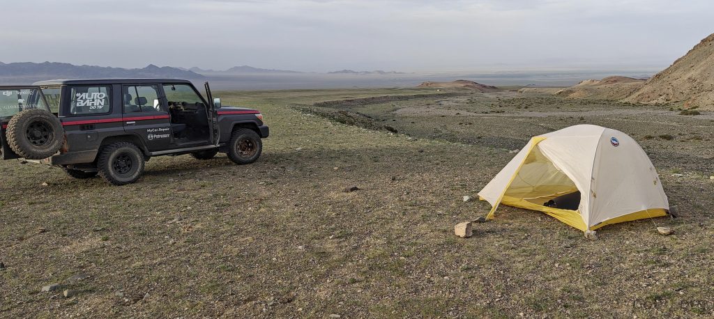
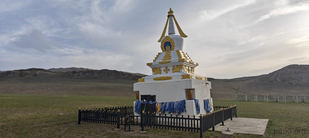
As the sun begins its descent, we inch closer to the base of the mountain, the road beneath us turning rougher, presenting a formidable challenge. Despite our eagerness to ascend, the lack of reliable internet service higher up compels us to backtrack slightly. Eventually, we discover an idyllic spot beside the now peaceful river, where we set up our tents, filled with anticipation for the adventures that lie ahead.

As we drive closer, the summit with its ridges comes into clear view
Goats and sheep roam freely, a harmonious blend of nature’s rhythm
The scenery bursts with green, and forests interrupt the expanse, adding intrigue
Our tents find a home beside the dry riverbed
Kurgan stelae, ancient stone markers, stand as reminders of a bygone era
A tranquil shrine near our camp keeps watch over us

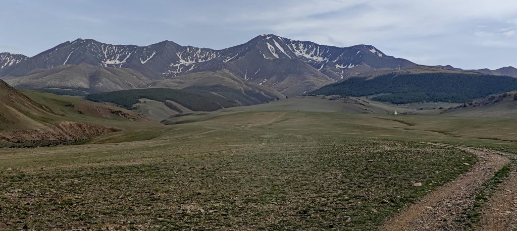
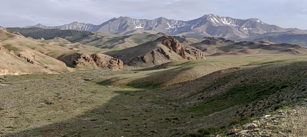
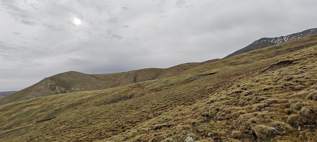
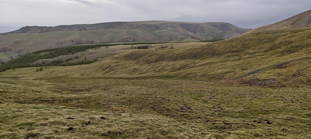
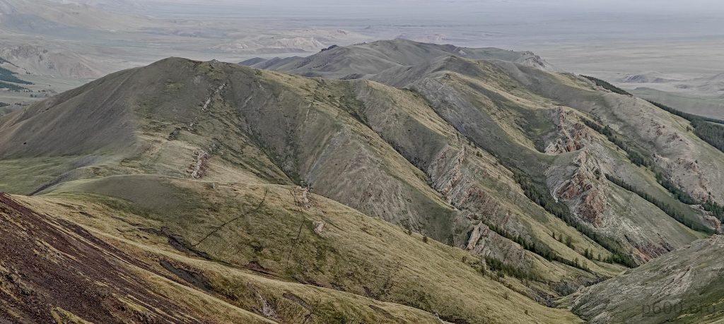
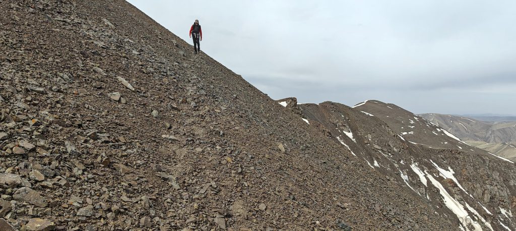
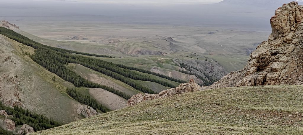
With the first light of dawn, we scramble to prepare a quick breakfast, fueling up for the day’s ascent. We find ourselves parking in a verdant meadow, a prelude to the journey ahead. From this point, we confidently march toward the summit, with the landscape opening up in wide, welcoming expanses and gradual slopes that beckon us forward, our path clearly delineated before us.

Our campsite offers splendid summit views, a sight to savor
The mountain’s gentler slopes welcome our first steps
On our way back we will detour to this small bump on the left
Forests sporadically mark the terrain
Snow finds refuge in the northern shadows
The ridge offers panoramic views, a vast stretch of nature’s art

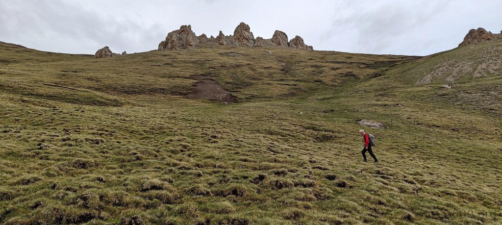
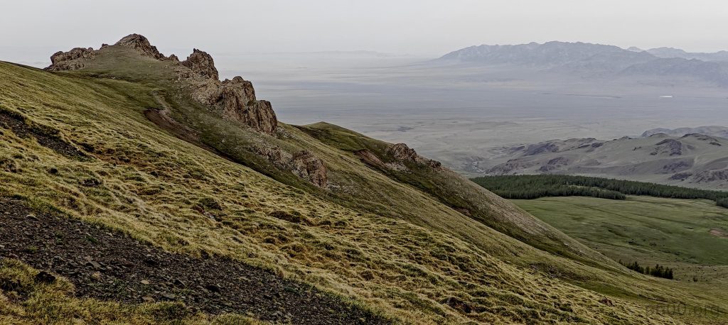
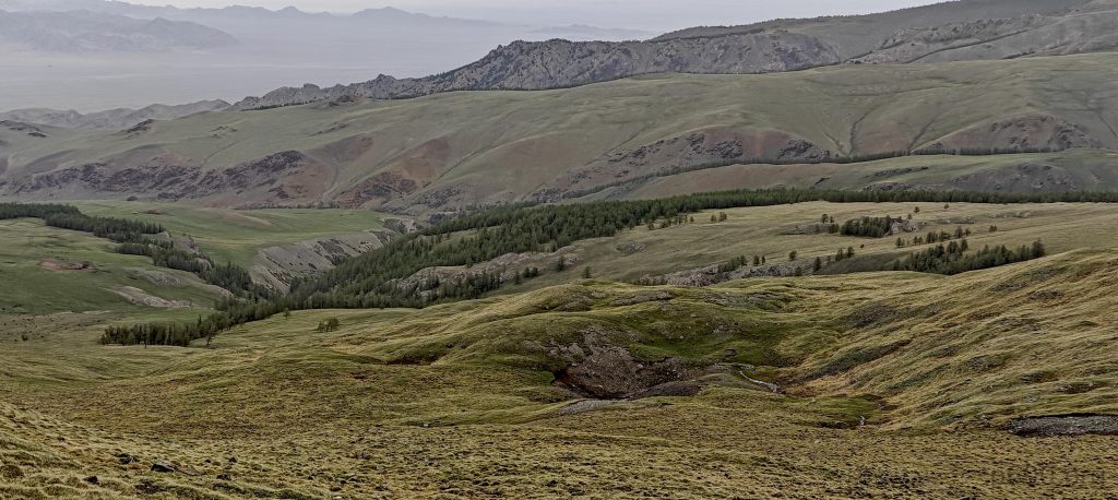
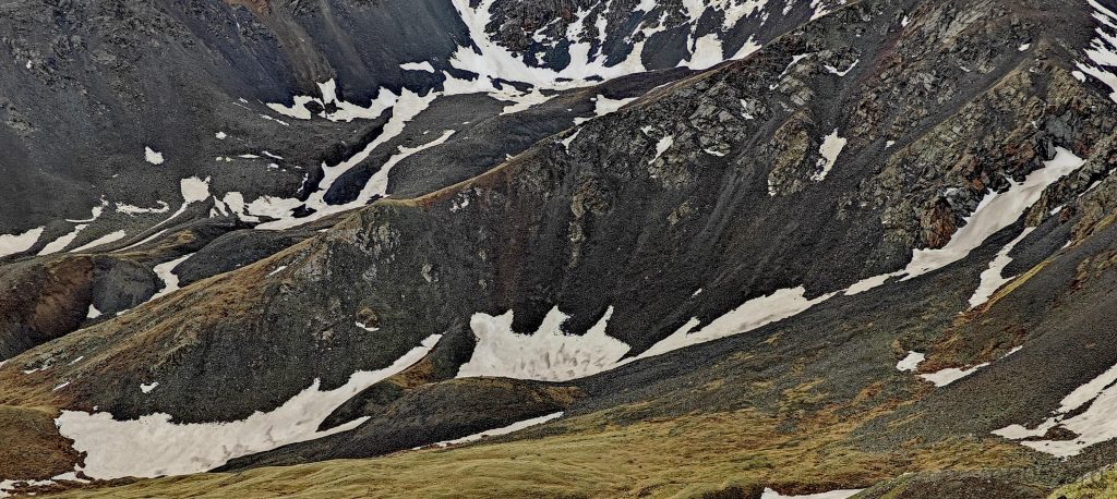
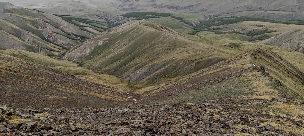
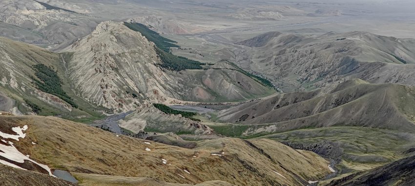
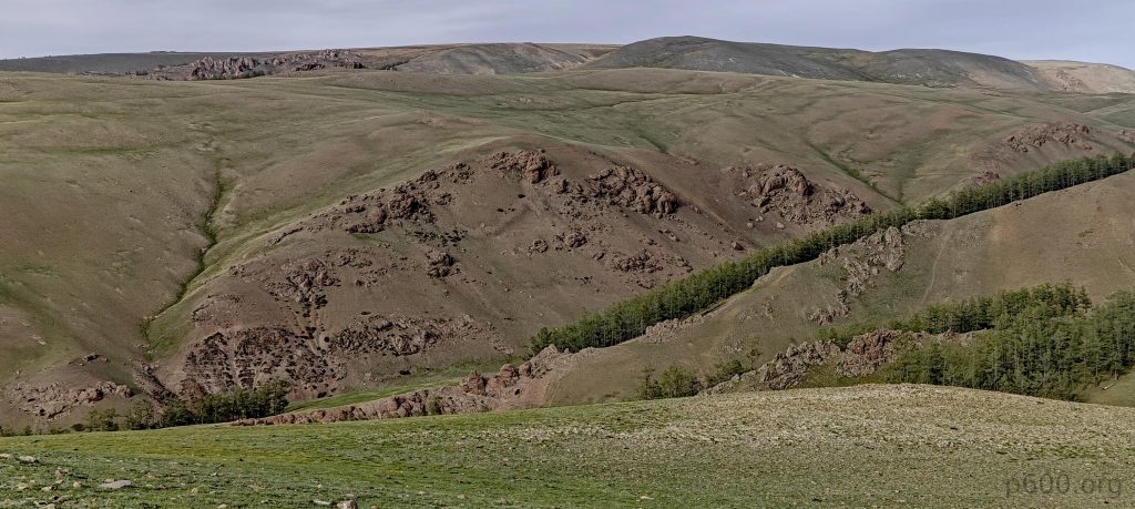
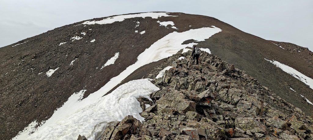
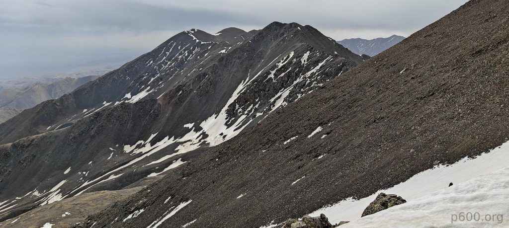
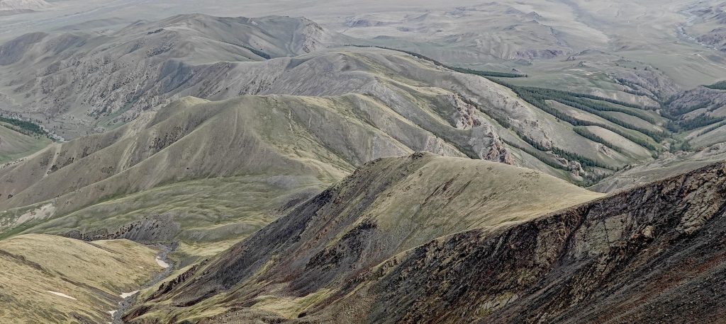
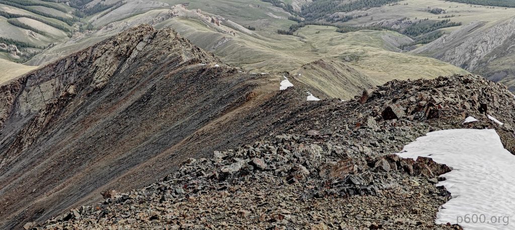
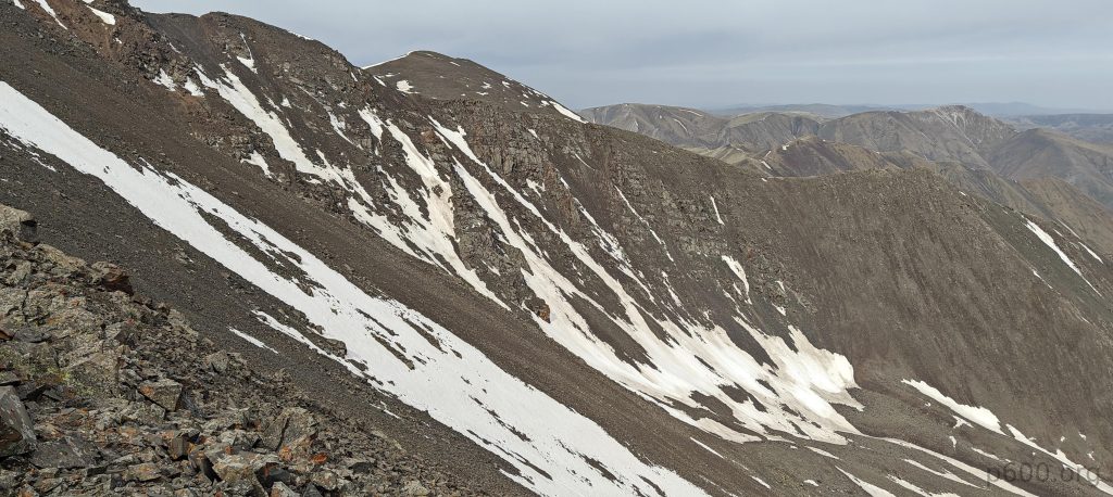
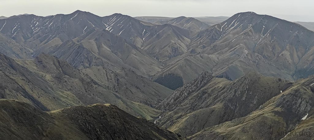
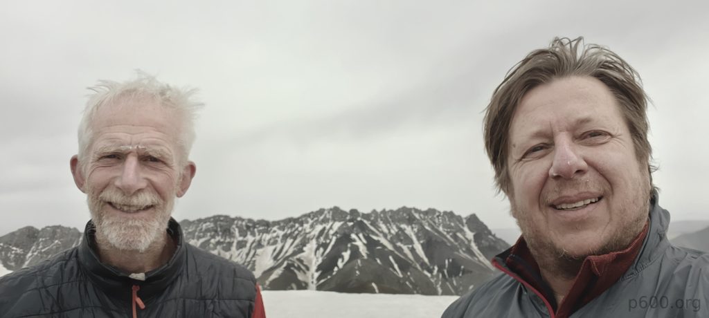
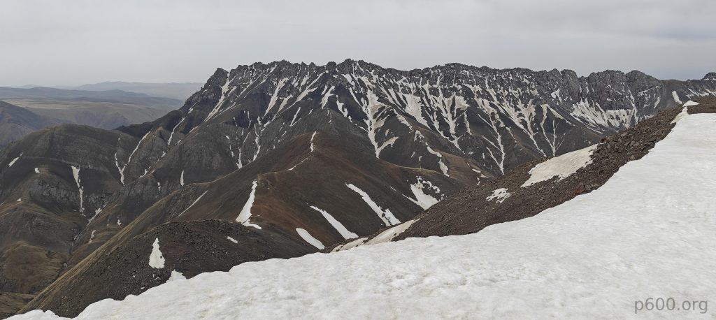
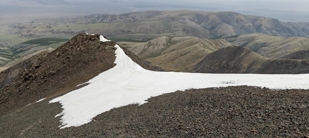
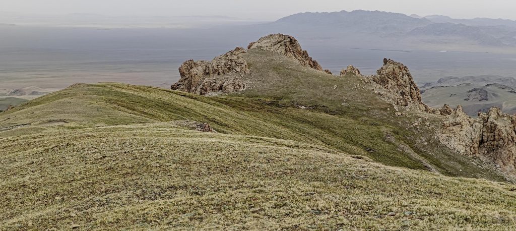
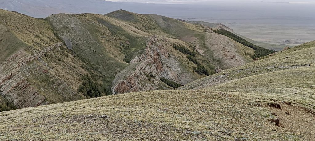
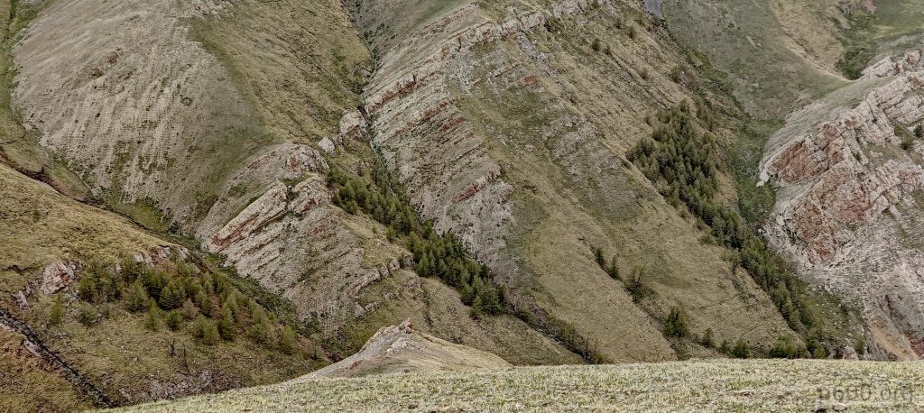
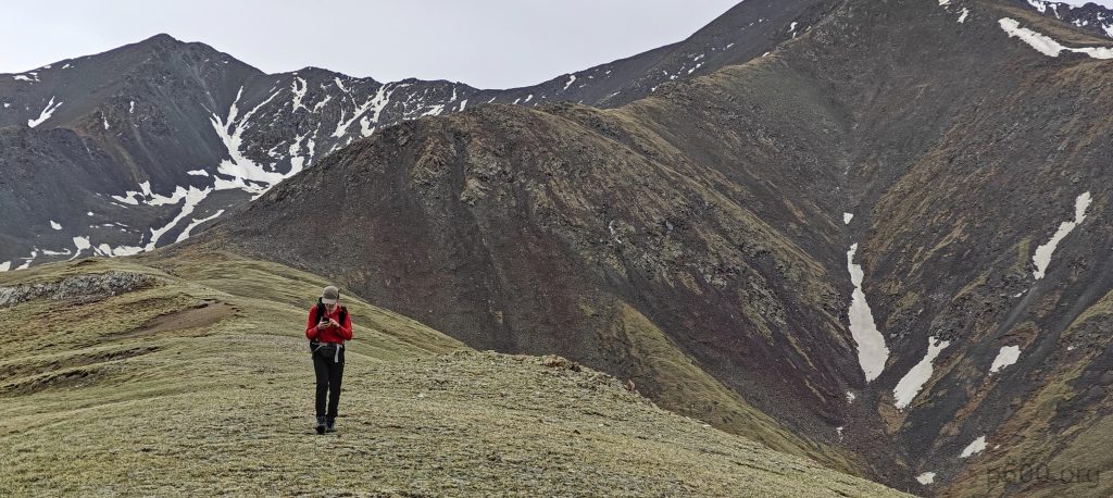
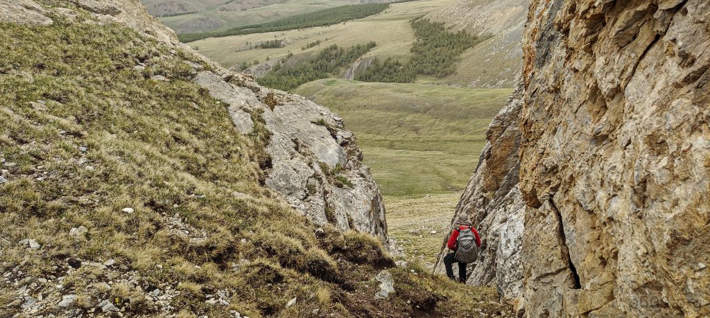
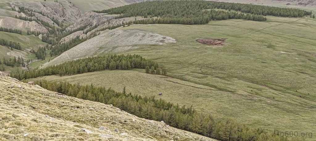
As we ascend the ridge, reaching its crest reveals a landscape dotted with a few stubborn patches of snow — a minor obstacle that does little to dampen our spirits. Soon, we find ourselves at the summit, marked by twin cairns, surrounded by a tapestry of lush greenery that stretches into the distance. The gathering clouds serve as a reminder of the mountain’s ever-changing mood, prompting us to commence our descent. Our journey back is enriched by a detour to investigate an intriguing P18 rock formation, adding an element of discovery. We then navigate a straight path back to our car, this time taking a detour through an enchanting forest that captivates our senses.

Rob’s determination is evident as he nears the summit
The ridge, devoid of snow, stretches ahead
Glancing back
Together, Rob and I celebrate at the summit
The southern peak, with its seemingly inaccessible ridge, stands defiant
P18 grabs our attention as we descend
Greenish slopes embrace us, a natural embrace
Our car awaits, parked amidst grassy fields next to the forest
Yaks graze, punctuating the landscape

With the fourth ultra prominent peak now behind us, a sense of deep satisfaction settles in. Our spirits are high with anticipation as we set our sights on Bumbag Khairkhan Uul, ready for the new adventures that await us, eager to discover what lies beyond the horizon.


Hasgat Khairkhan Uul3578 m altitude
1749 m prominence
146.92 km isolation
RangesMongolia Ranges - Altai
Countries/regionsMongolia - Govi-Altai
Distance3.80 km up3.80 km down
Elevation925 m gain925 m loss
Time
3h00 up
0h10 other
2h50 down
6h00 total
Trailhead2653 m altitude46.8179720, 95.8066380
RouteStarting from where we parked our car, we veer slightly to the left to skirt around the forest, encountering gentle slopes that guide us to a ridge. This ridge leads directly to the summit, where we navigate around a few minor snow patches easily avoided. For our descent, we follow the same path, incorporating a slight variation by taking a shortcut through a small forest, streamlining our return journey.
DifficultiesThe final stretch of the road leading to the trailhead is challenging, marked by rough terrain with steep inclines in certain areas.
LinksGPX trail
  • Mongolia Ranges 2023
  • « Tariani Bogd
  • Peak 1622m, Jargalan »

Mountain Ranges

Anatolia
Central Anatolia
Pontic Mountains
Southeast Anatolia
Taurus Mountains
Western Anatolia
Andes
Puna de Atacama
Atlas Mountains
High Atlas
Northwestern Atlas
Central America Ranges
Costa Rica-Panama Ranges
Central Central America
East China
Taiwan
Eastern Europe Ranges
Southeast Baltic Plains
Iberian Peninsula
Cordillera Cantabrica
Castile Ranges
Portugal-Galicia
Pyrenees
Intermountain West
Great Basin Ranges
Korea-Amur Area
Taebaek Sanmae
Malay Archipelago
Java
Nusa Tengarra
Sulawesi
Sumatra
Mid-Atlantic Islands
North Atlantic Islands
Mongolia Ranges
Altai
Gobi Desert Ranges
Hangay Mountains
Northwest Europe
Great Britain
North France-West Rhine Area
Pacific Ranges
Cascade Range
Northwest U.S. Coast Ranges
Sierra Nevada
Central and Southern California Ranges
Philippines
Central Philippines
Luzon
Mindanao
Southeast Asia
Malay Peninsula
Southeast South America
Pampas
Sierras de Cordoba
Southern Africa
Malawi Highlands
West Africa Mountains
Bight of Benin
Cameroon Mountains
Guinea Highlands

Countries / regions

Algeria
Ain Guezzam
Ain Salah
Aïn Témouchent
El Bayadh
Ghardaïa
Oran
Ouargla
Saïda
Sidi Bel Abbès
Tamanrasset
Argentina
Catamarca
Ciudad Autónoma de Buenos Aires
Córdoba
Jujuy
Salta
Tucumán
Belgium
Brussels Capital Region
Flemish Region
Cameroon
Southwest
China
Taiwan
Costa Rica
Alajuela
Cartago
Guanacaste
Heredia
Limón
San José
Czechia
Prague
Denmark
Greenland
France
Hauts-de-France
Occitania
Germany
Berlin
Niedersachsen
Indonesia
Bali
Jambi
Jawa Tengah
Jawa Timur
Nusa Tenggara Barat
Sulawesi Tengah
Sulawesi Utara
Sumatera Barat
Lithuania
Vilnius County
Mongolia
Bayankhongor
Govi-Altai
Khovd
Omnogovi
Ovorkhangai
Ulan Bator
Zavkhan
Morocco
Béni Mellal-Khénifra
Drâa-Tafilalet
Fez-Meknes
Marrakesh-Safi
Souss-Massa
Tangier-Tetouan-Al Hoceima
Mozambique
Zambezia
Netherlands
Gelderland
Noord-Holland
Zeeland
Nicaragua
Chinandega
Managua
Masaya
Rivas
Philippines
Bicol Region (V)
Cagayan Valley (II)
Calabarzon (IV-A)
Central Luzon (III)
Cordillera Administrative Region
Davao Region
Metro Manila
Soccsksargen (XII)
Western Visayas (VI)
Poland
Greater Poland Voivodeship
Masovian Voivodeship
Portugal
Castelo Branco
Leiria
Lisbon
Madeira
Santarém
Qatar
Ad-Dawhah
São Tomé and Príncipe
São Tomé Province
Sierra Leone
Northern Province
Western Area
Singapore
South Korea
Gyeongsangnam-do
Seoul
Spain
Aragón
Asturias
Castilla-La Mancha
Castilla y León
Catalonia
Islas Canarias
Switzerland
Zürich
Turkey
Antalya
Bitlis
Erzincan
Hakkâri
Igdir
Isparta
Kahraman Maras
Muğla
United Kingdom
England
Scotland
United States
California
Delaware
Florida
Maryland
Nevada
New Jersey
New York
Pennsylvania
South Carolina
Utah

TRIPS

2024
Southern Africa 2024
Mid-Atlantic Islands 2024
North America 2024
Anatolia 2024
Korea-Amur Area 2024
East China 2024
2023
Mongolia Ranges 2023
Philippines 2023
West Africa III 2023
West Africa II 2023
Iberian Peninsula 2023
West Africa 2023
Central America 2023
2022
Andes 2022
Northwest Europe 2022
Malay Archipelago III 2022
Malay Archipelago II 2022
Anatolia Mountains 2022
Iberian Peninsula 2022
Atlas Mountains 2022
North France-West Rhine Area 2022

archaeology (3) climb (157) food (2) hike (155) p30 (17) p50 (4) p100 (24) p300 (12) p600 (17) p1000 (11) p1500 (76) ribu (10) sight (46) summary (16) trig (44) ultra (76)

1 591 km walked, 121 298 m climbed

©2025 p600.org | WordPress Theme by Superbthemes.com