Skip to content
Menu
p600.org
  • home
  • map
  • trips
  • about
p600.org

Jargalant Khairkhan

hike | 2023-06-22

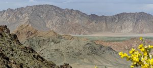
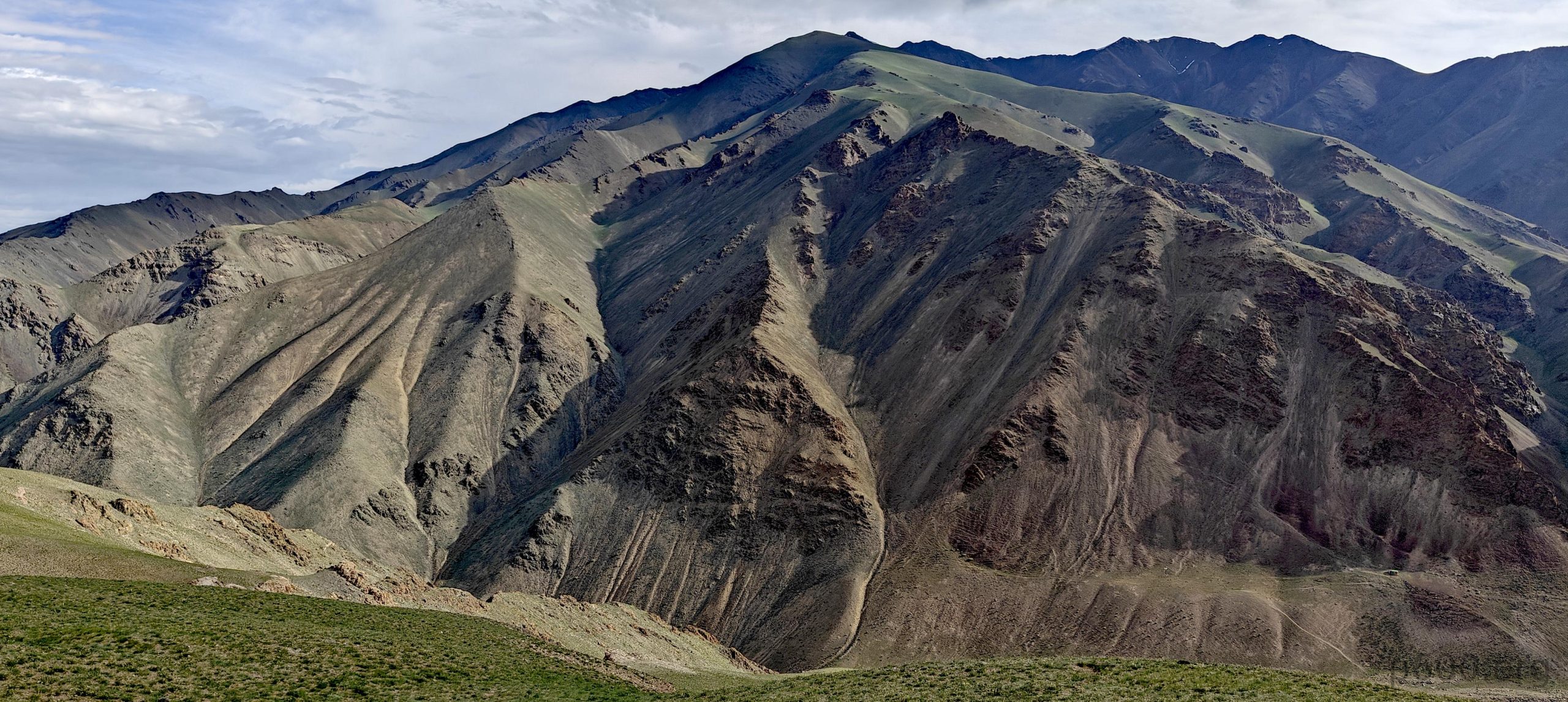
Mud and sand became our unwelcome companions, forcing us to ditch our original plan and veer towards the imposing Jargalant Khairkhan. Its peak, oh-so-close yet twenty kilometers of mystery away, mocked us with its majestic presence. Satellite imagery, our sole guide, felt more like a cryptic treasure map than a reliable navigation tool.

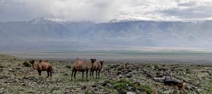
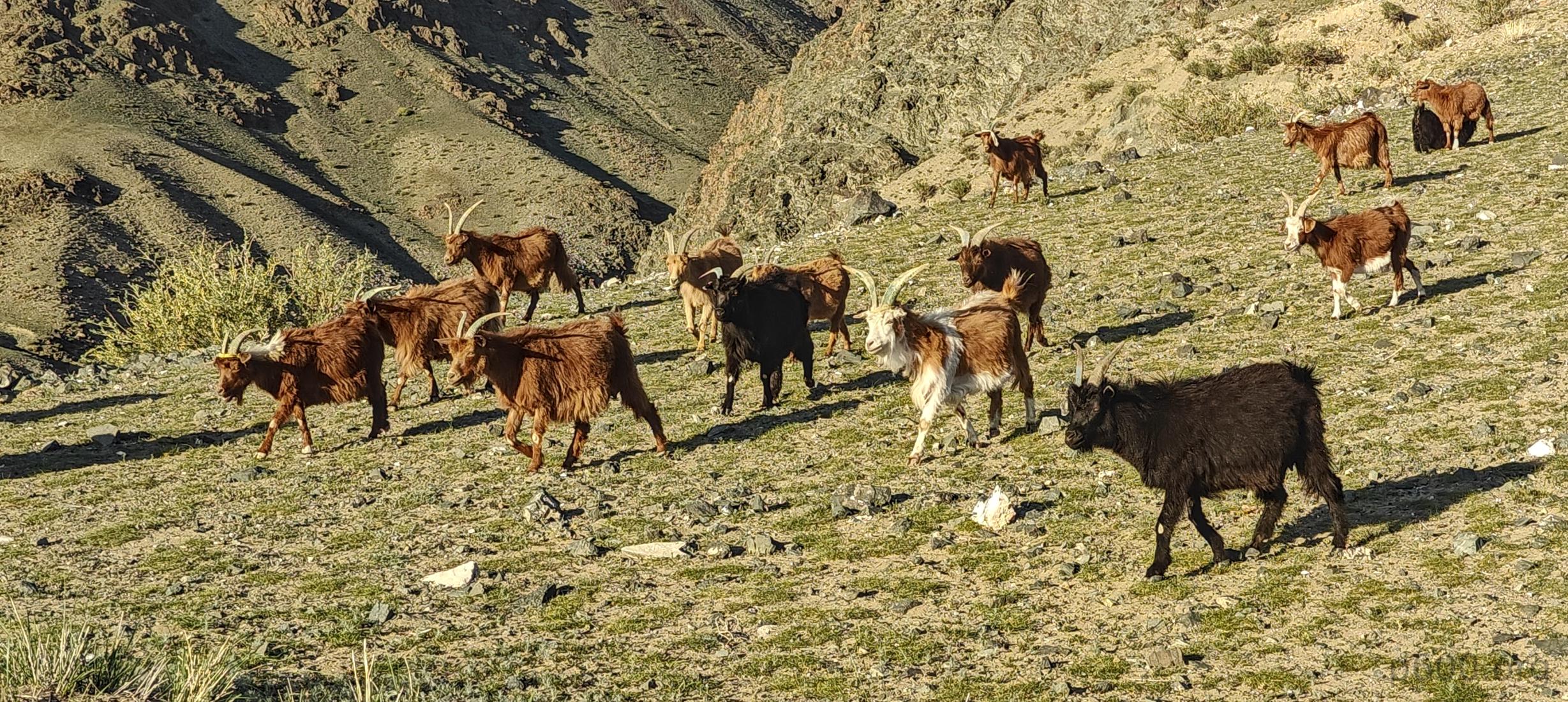
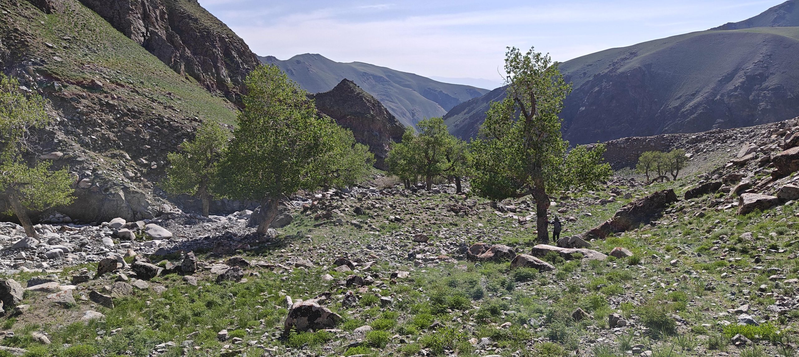
Kilometers bled into one another as we skirted Khar-Us Lake and followed a babbling stream. The terrain, a chaotic mix of sand and rock, screamed “high-clearance vehicles only,” though locals, ever the adventurous souls, somehow managed with their trusty Priuses. After what felt like an eternity (or ten kilometers), we took a gamble on a promising car track, a testament to the power of satellite-aided decision-making. The gamble paid off, leading us to the mountain’s base and a scattering of yurts. Our chariot, however, could go no further, bowing down before a steeper slope.

Juri decided – the winner of this year’s song contest is Rob!
A warm evening with beautiful views from our camp.
Tomorrow’s route is clearly visible.
Houses nestle at the base of the towering mountains.
On our descent, we will follow this stream, but during our ascent, we’ll explore the slopes on the right side.
A herd of goats descends gracefully from the mountain slopes.

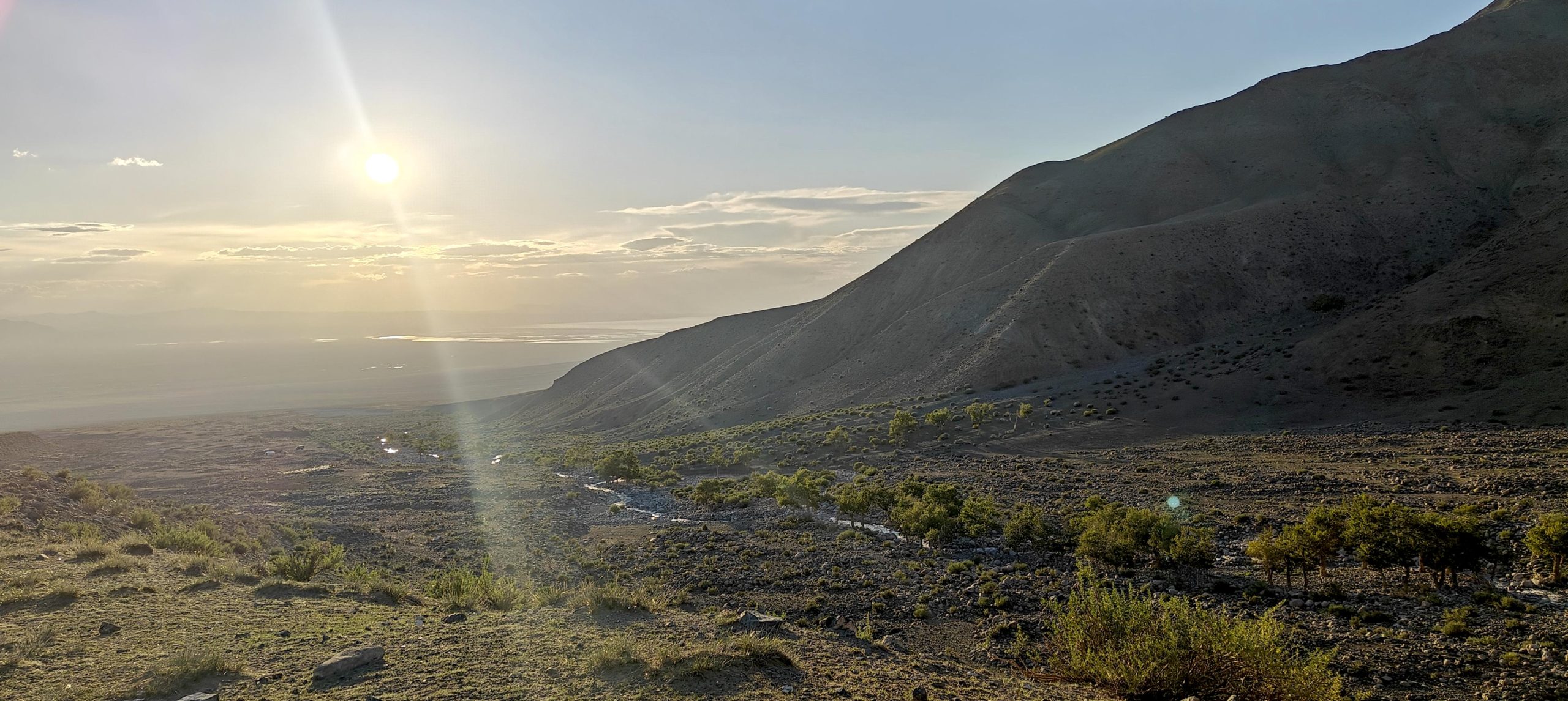
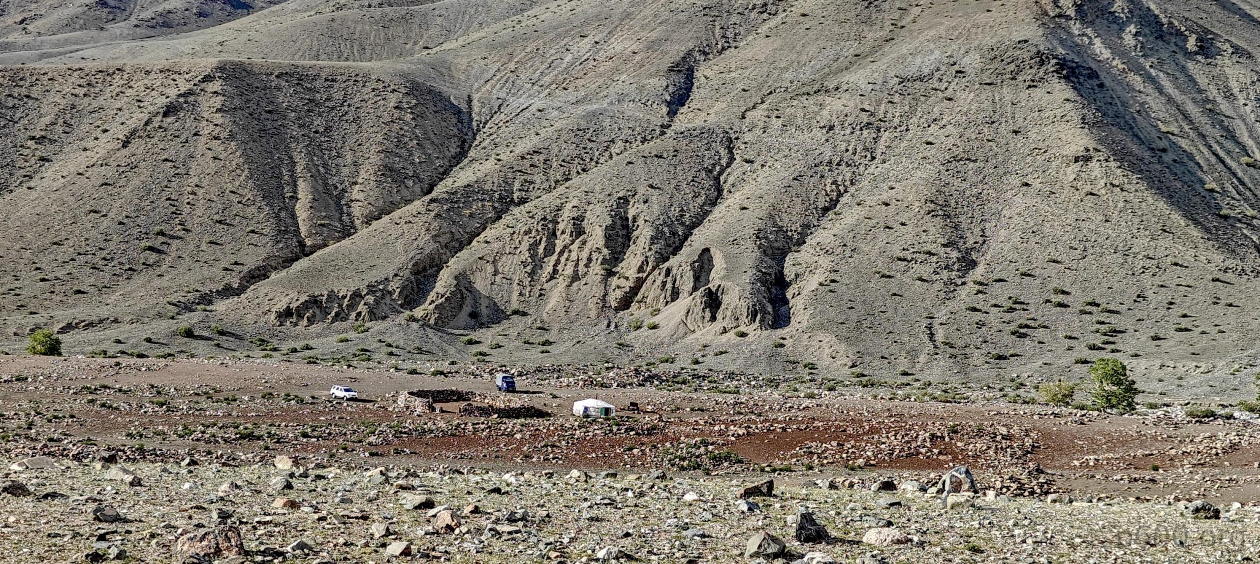
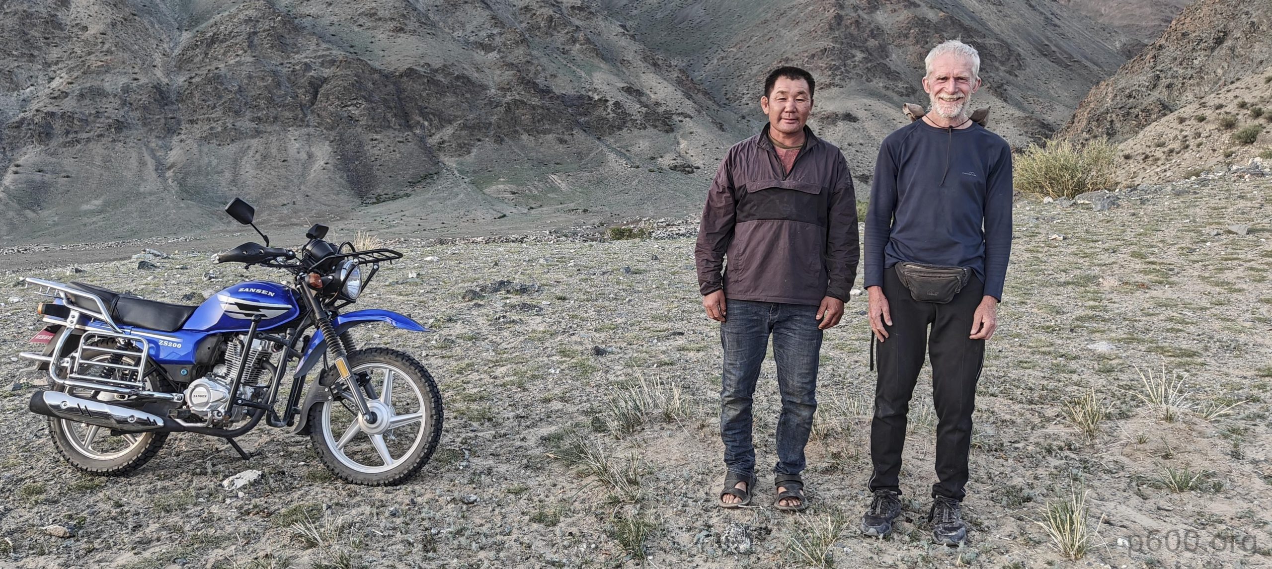
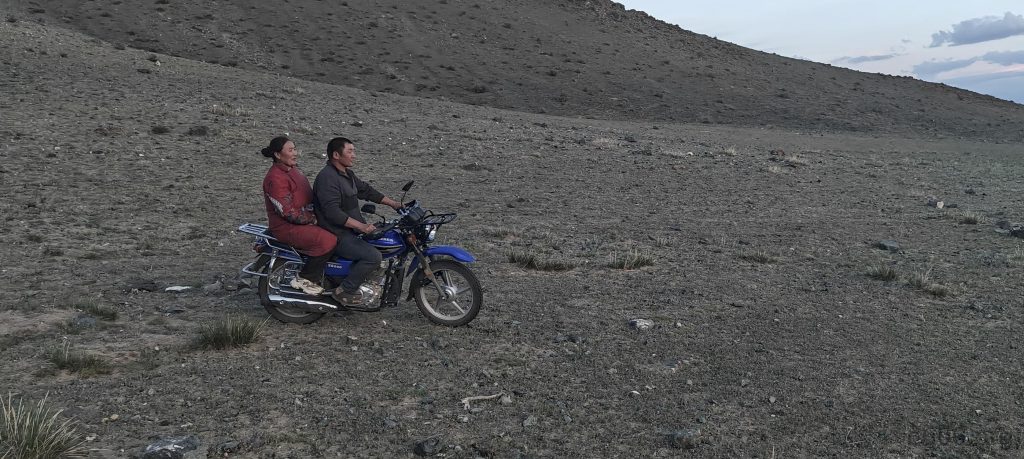
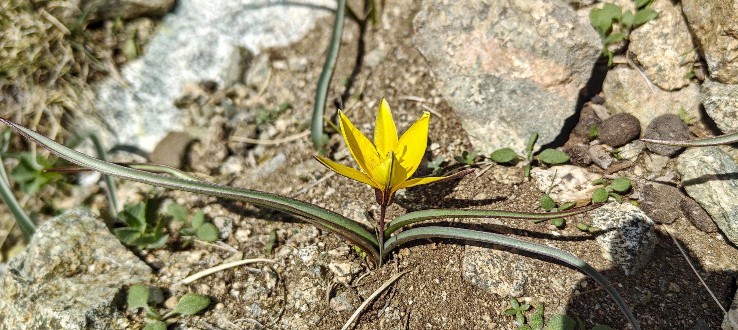
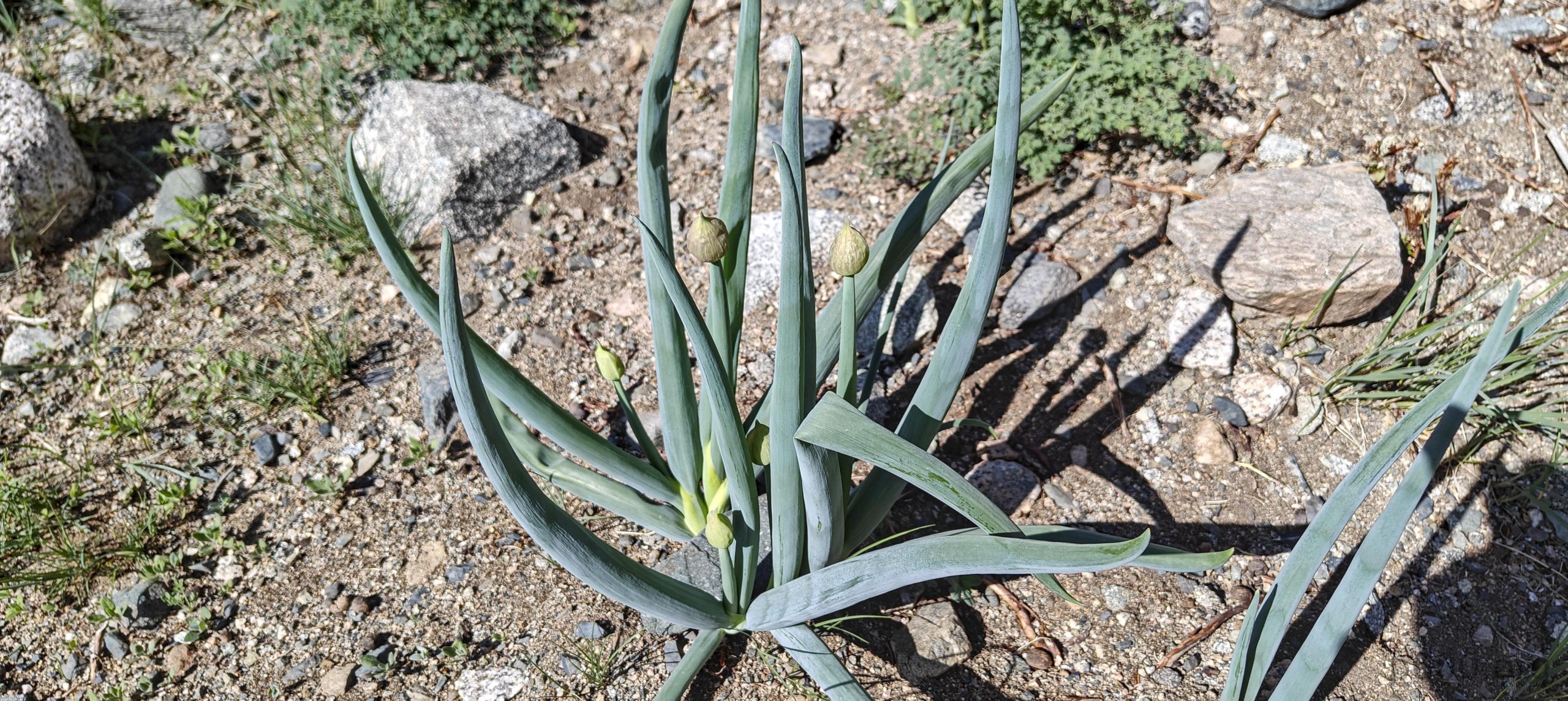
With the summit still a daunting ten kilometers away, we pitched camp and whipped up dinner. As fate would have it, a friendly Mongolian couple from a nearby yurt rolled up on their motorbike. Despite the language barrier resembling a game of charades, we managed to establish a connection. We learned the nearby lake was more puddle than paradise, dashing our swimming dreams, and in return, gifted their five children with chocolate, a universal language understood by all. While our attempt to glean summit route intel was hampered by limited vocabulary, the encounter left us feeling warm and fuzzy inside.

Selfie taken after a pleasant bilingual chat.
Sunset, a local family on modern horseback heads towards their yurt
Dozens of kites circling around.

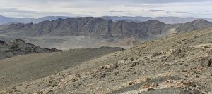
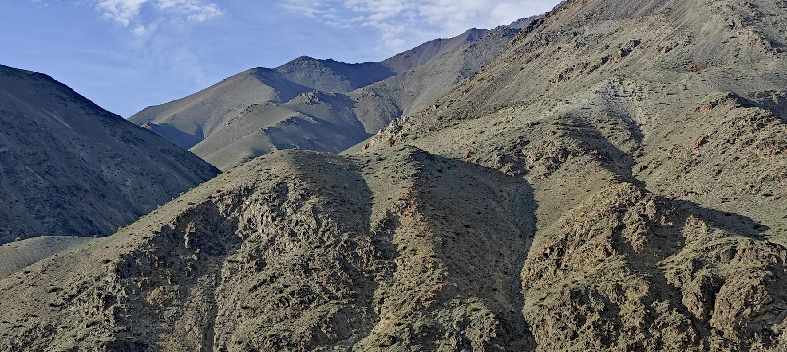
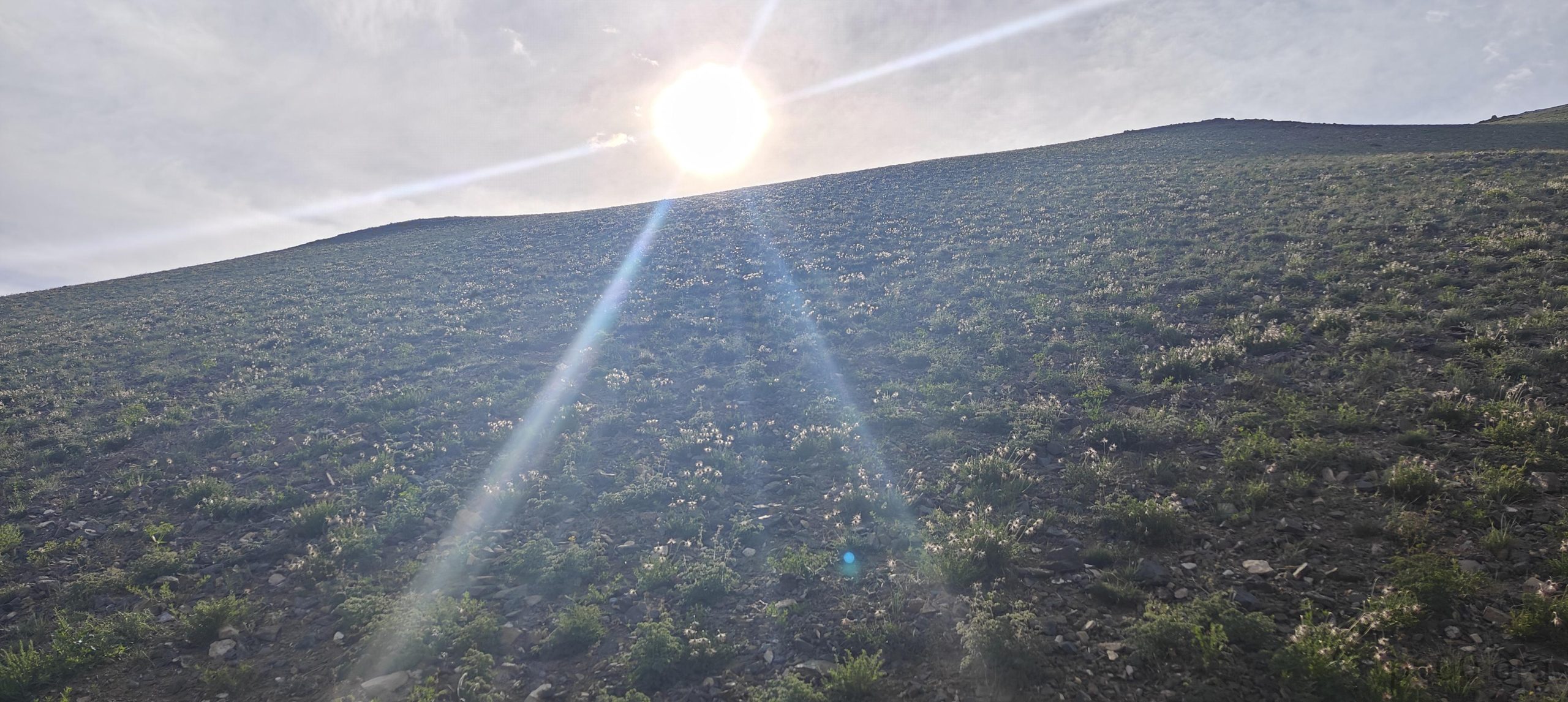
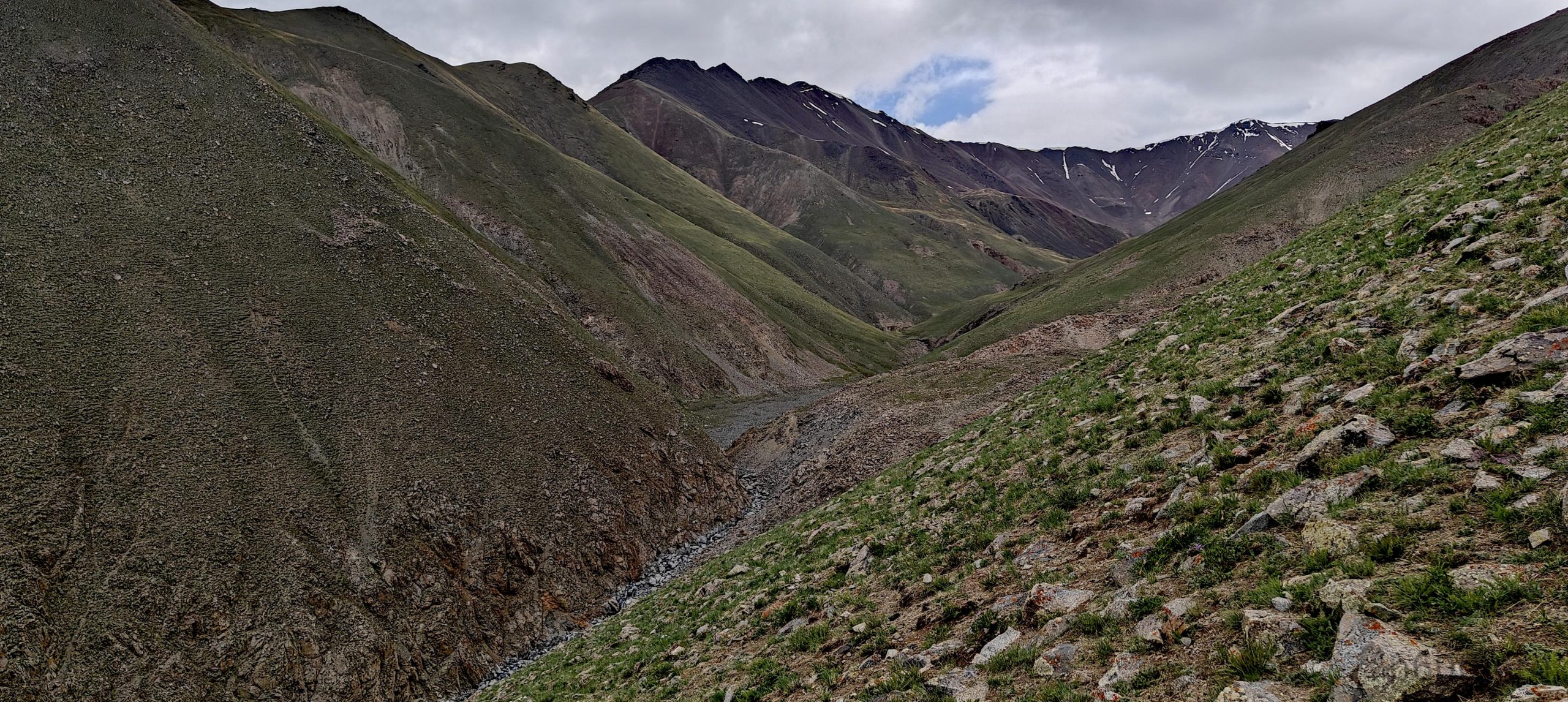
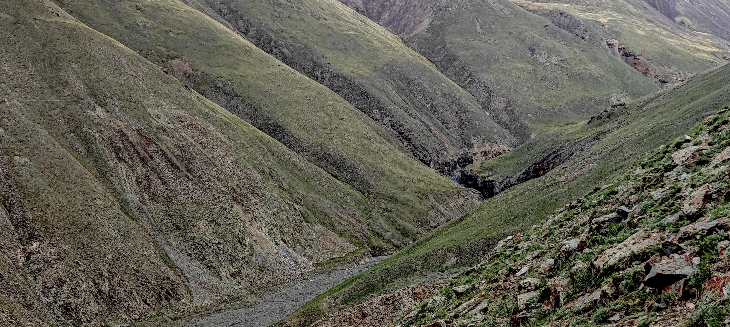
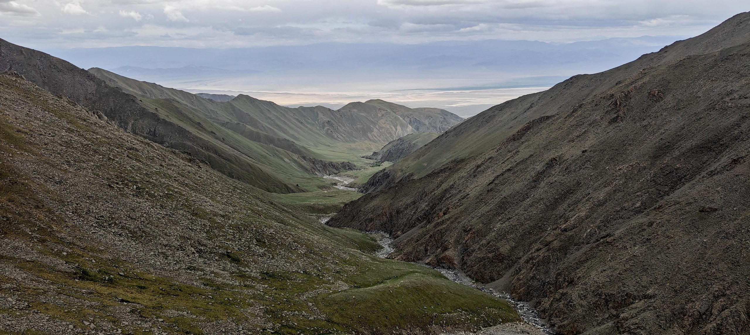
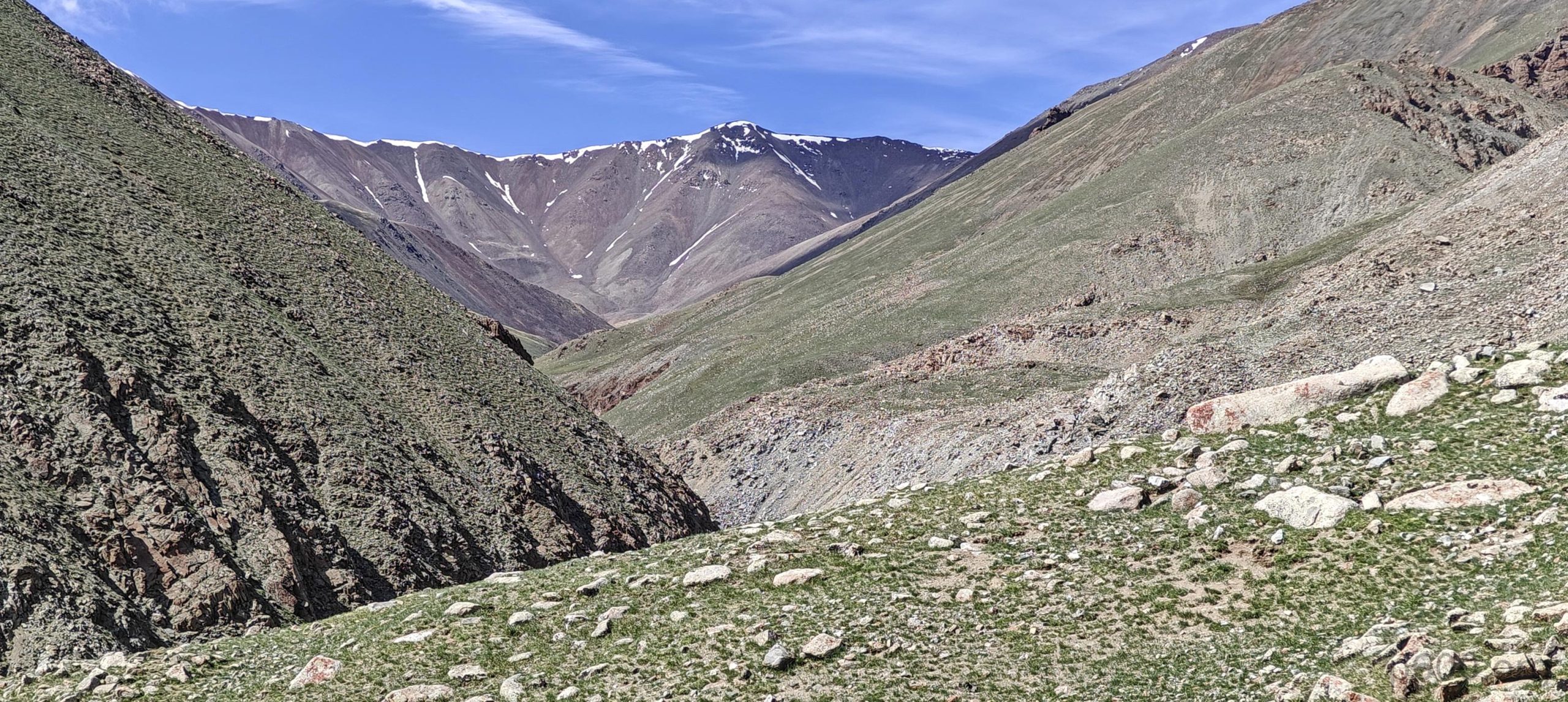
As the sun peeked over the horizon, we rose with the birds, fueled by a healthy dose of “must climb that mountain” determination. Our initial plan involved an ambitious climb up the ridge behind camp, a one-hour endeavor that quickly revealed itself to be significantly more “one-hour-ish” than initially advertised. Realizing this route would test the limits of our sanity (and daylight), we regrouped at the P50 bump and formulated a new strategy. Descending back into the valley and following the stream upwards might not have been the most glamorous option, but it certainly beat battling the never-ending rollercoaster of the ridge.

Long, flat landscapes stretching towards the horizon.
Our driving route is clearly visible, running alongside the stream.
Some slopes gradually increase in steepness.
After evaluating the landscape, we decided to abandon the ridge and descend 250 meters to the stream.
It’s fascinating how trees grow in the deep and steep canyon. They found water, or perhaps the water found them.
Majestic slopes commanding awe.
Colorful views.
Rhodiola rosea??
Views on the way
The summit now looms much closer, with only a dusting of snow.
The dry streambed has given way to a flowing water stream.
Rob confidently strides towards the summit.
First ice.
I would call it onion and cabbage salad, but it turns out the reddish plant isn’t cabbage.
A long path stretches behind us, and on the left side, a morning ridge, which we descended.

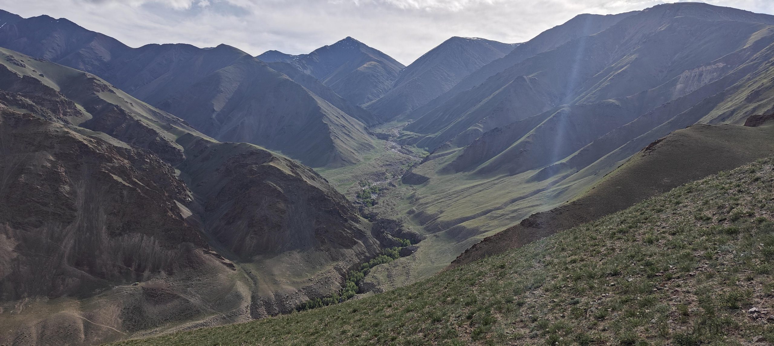
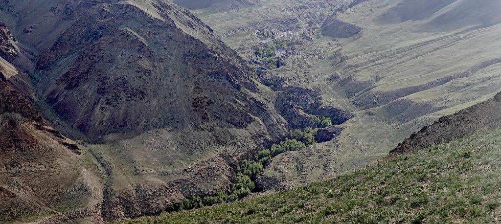
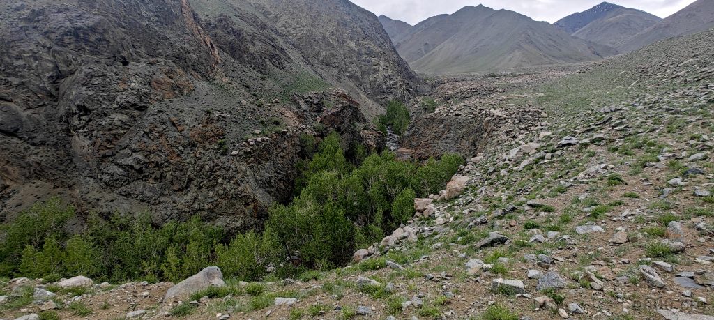
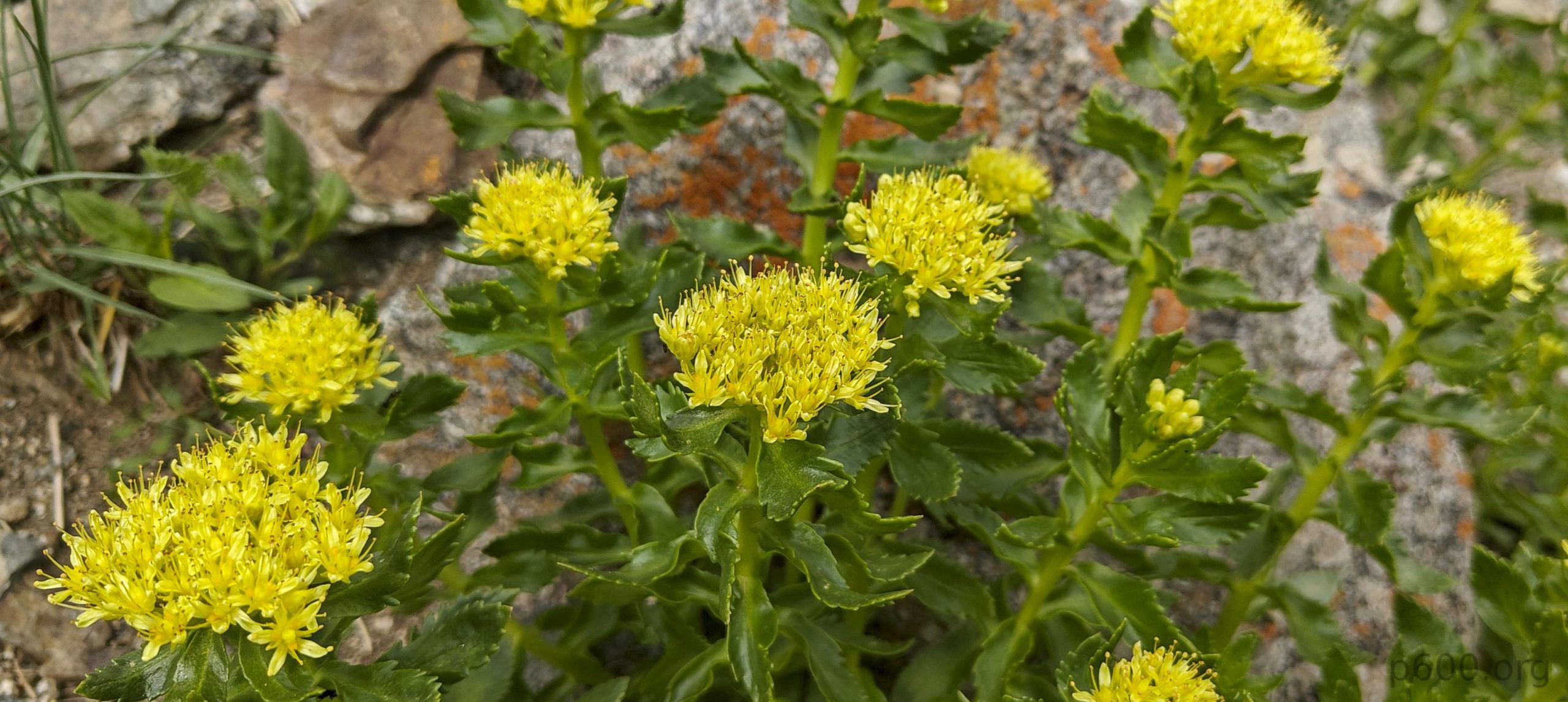
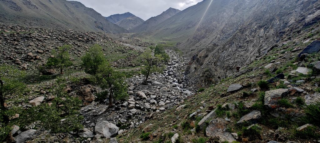
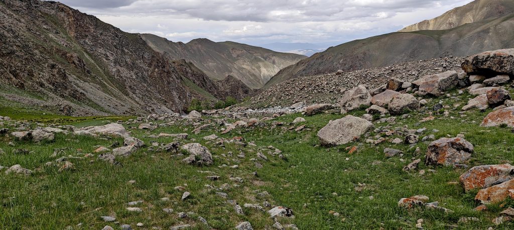
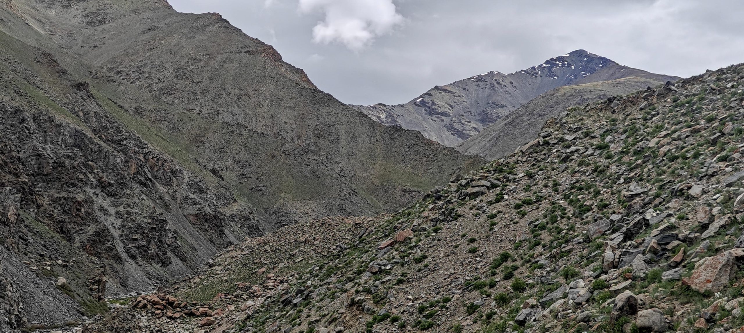
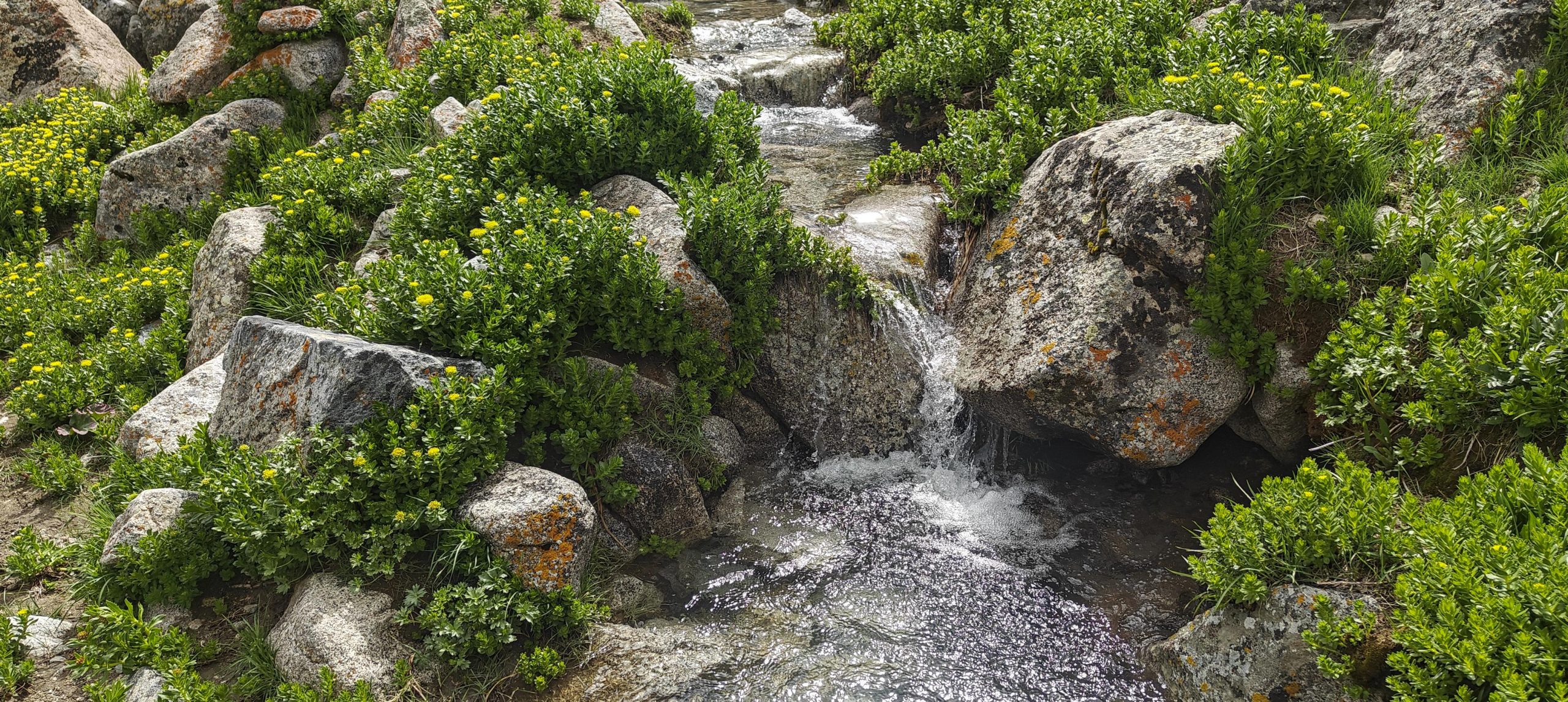
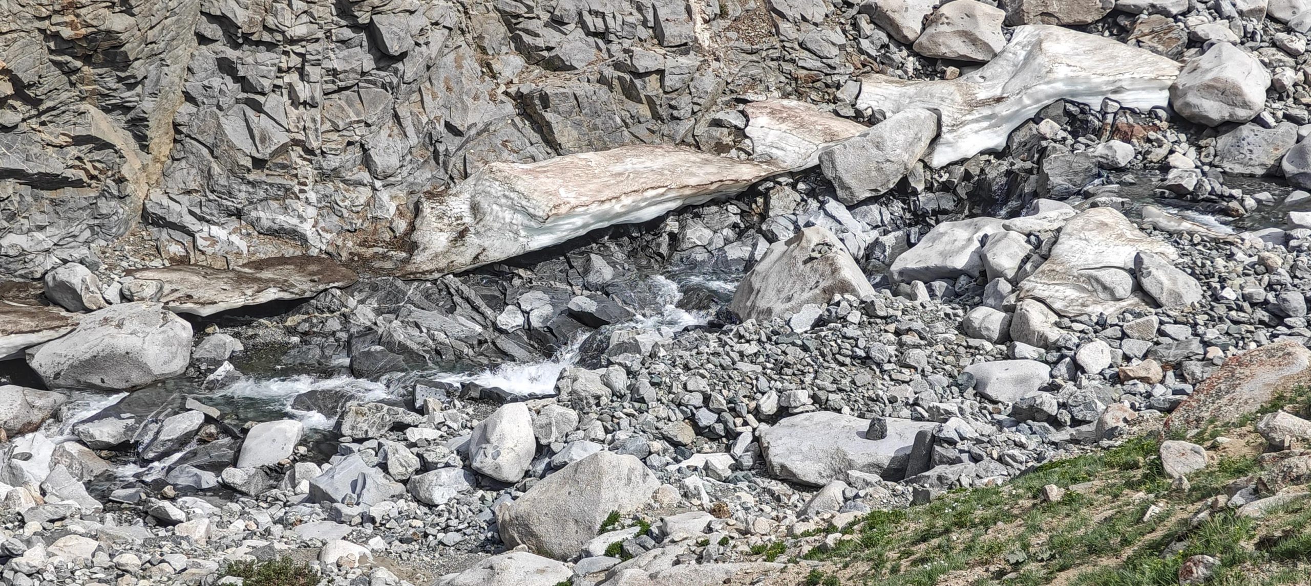
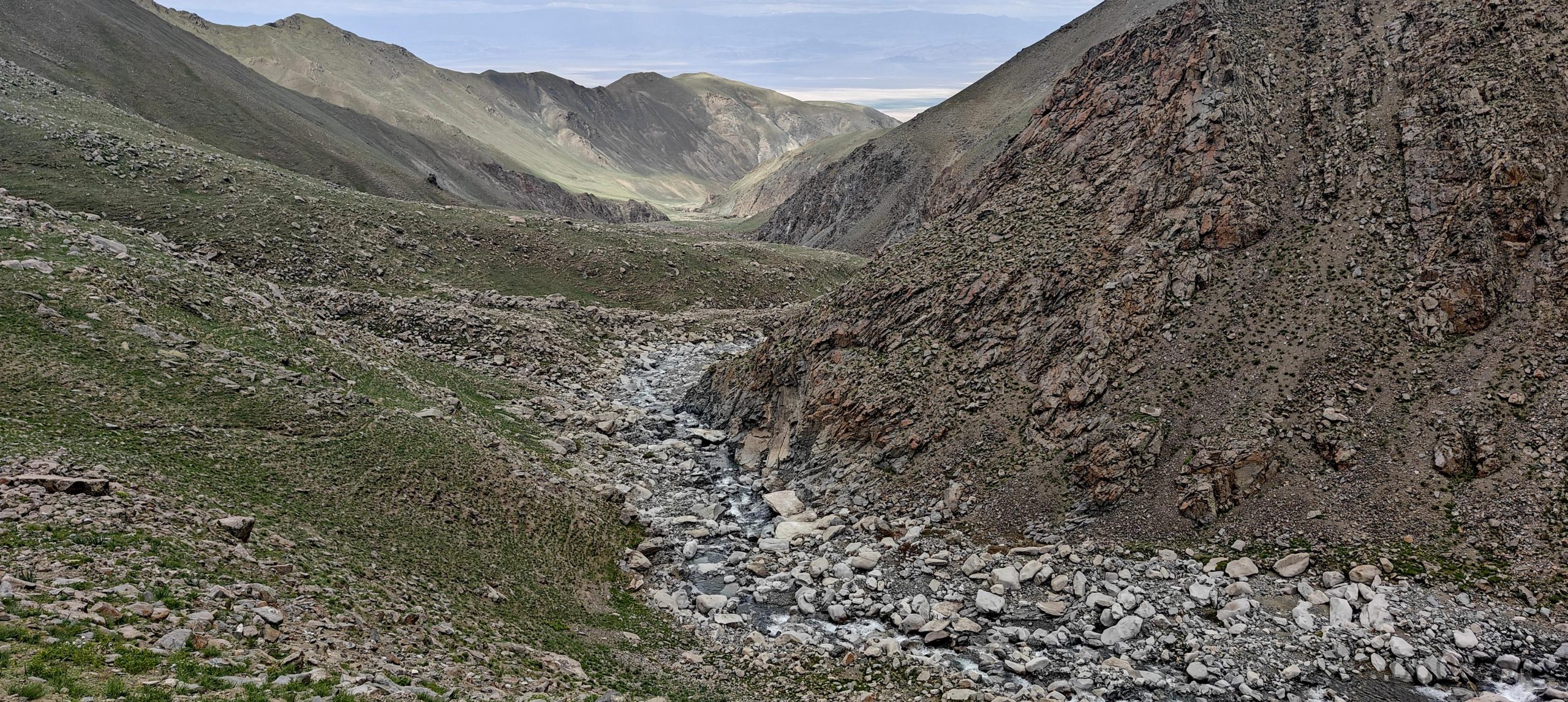
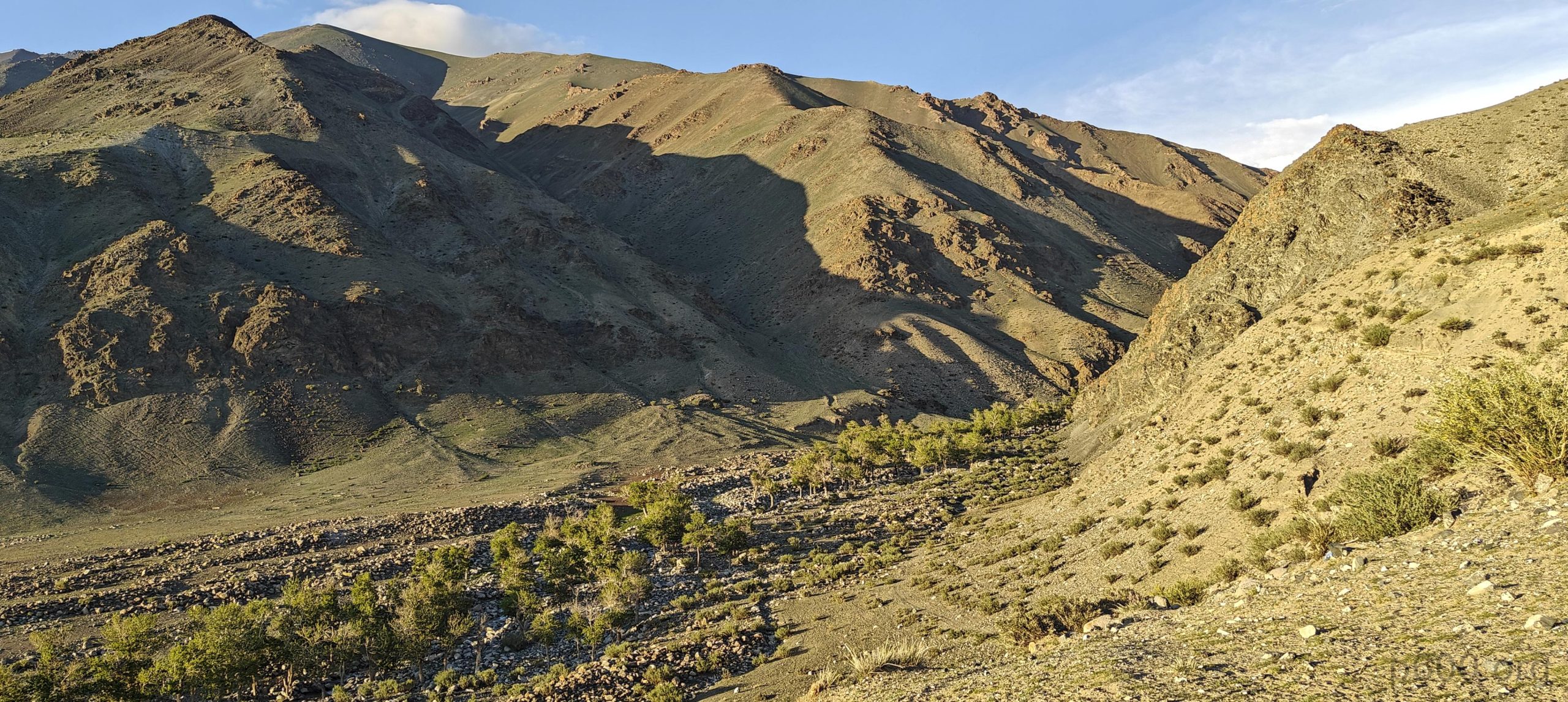
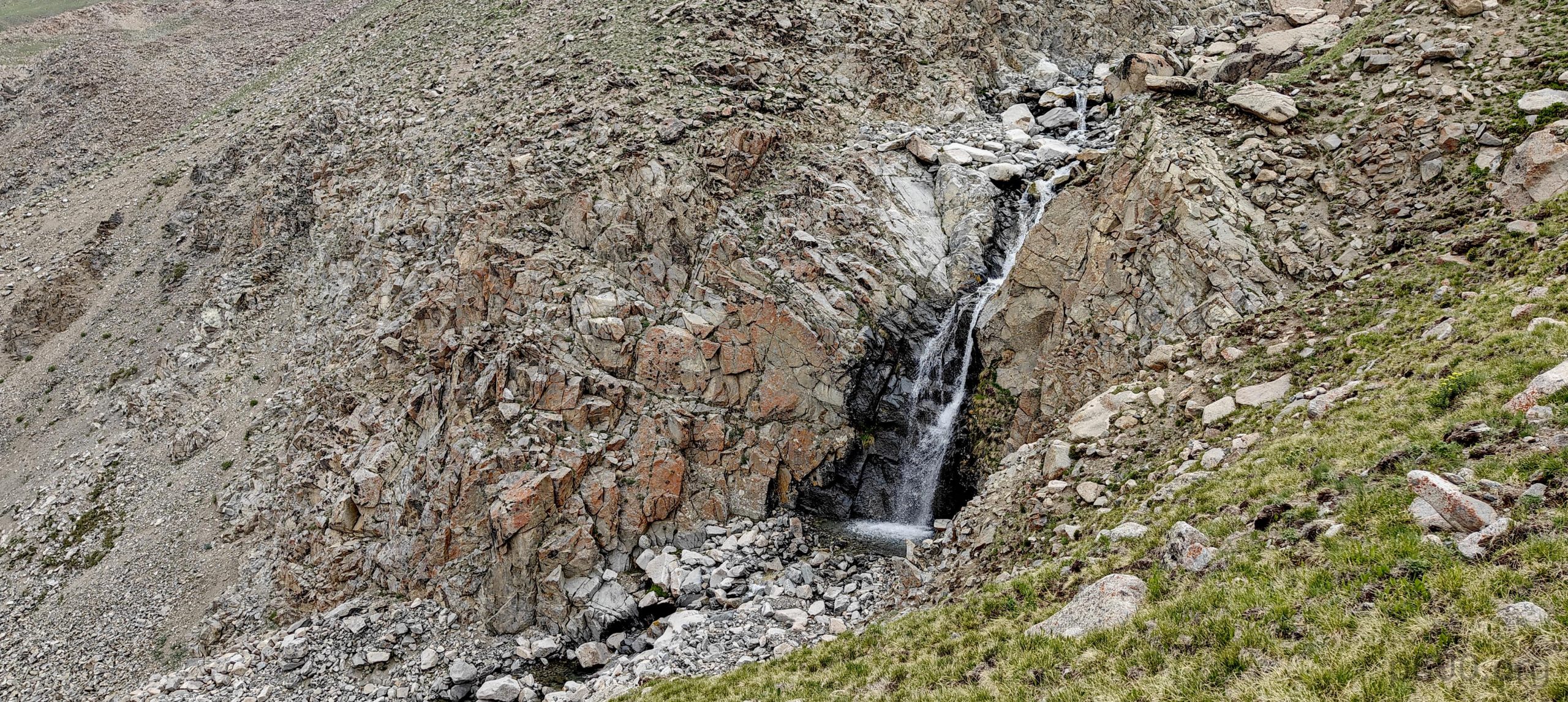
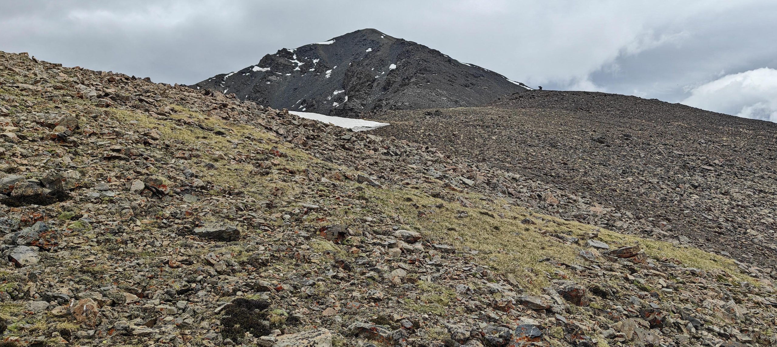
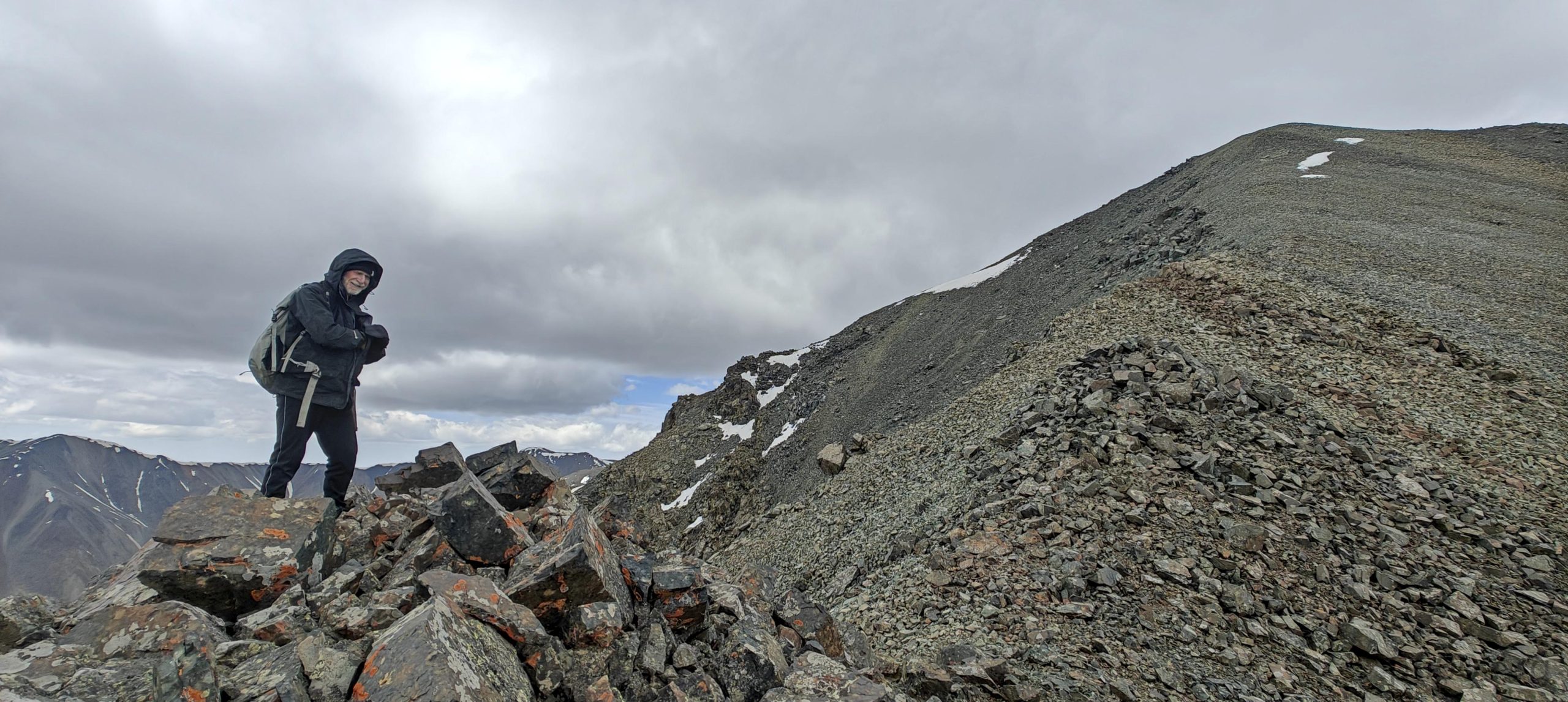
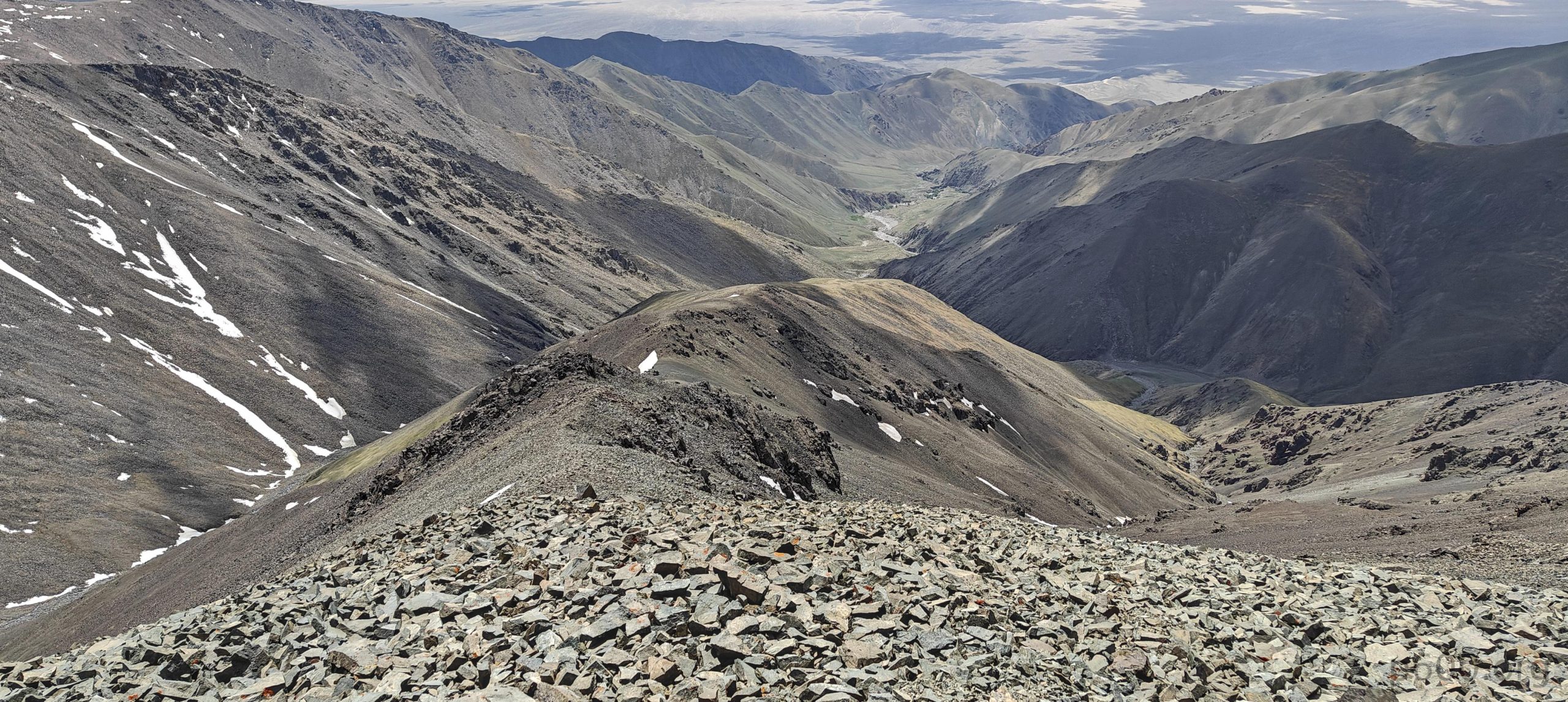
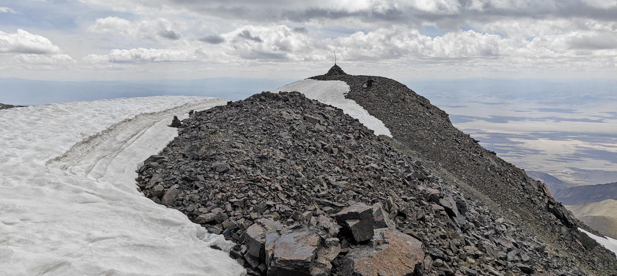
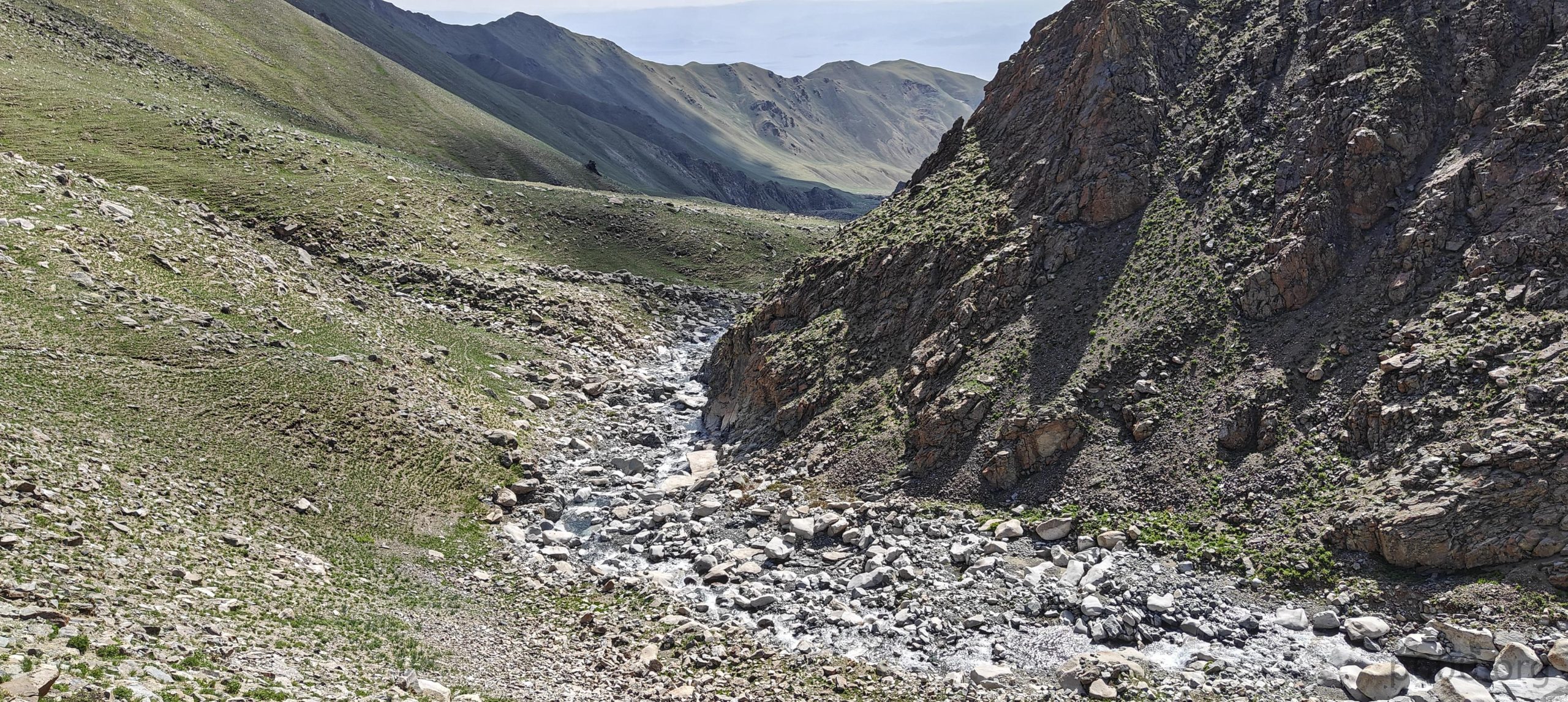
Each passing hour brought the summit tantalizingly closer, yet frustratingly out of reach. The terrain, thankfully, remained relatively user-friendly, with the occasional shepherd’s trail offering a helping hoof (or should we say, “shoe”). We conquered a small waterfall at the valley’s end and tackled a steeper slope, finally finding ourselves back on the ridge, now within striking distance of the peak. Patches of snow made an appearance, but nothing our trusty boots couldn’t handle.

Higher up.
We came across a small waterfall.
Scenic and enchanting valleys.
Patches of remaining snow.
The summit is closer than it has ever been.
Rob is waiting for me not too far from the summit.

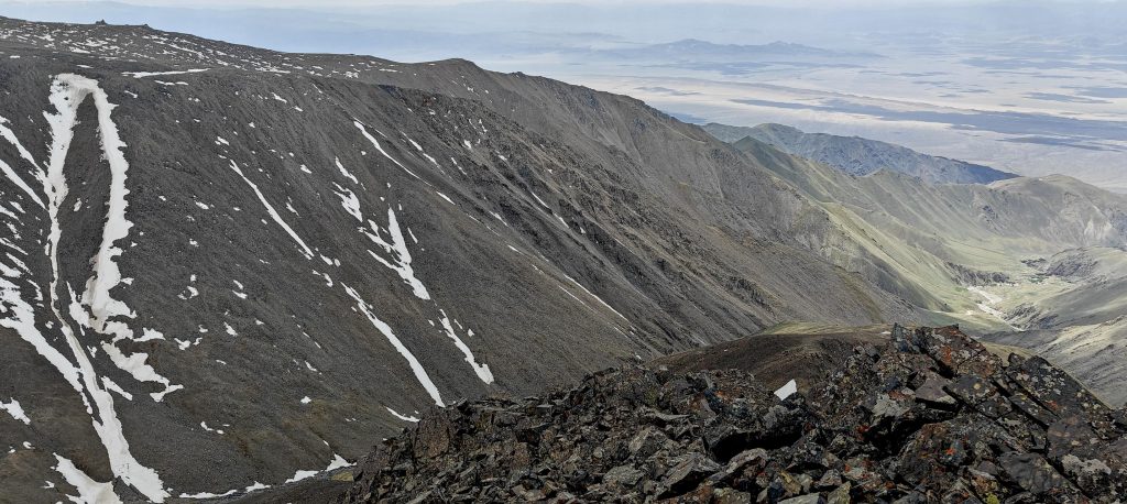
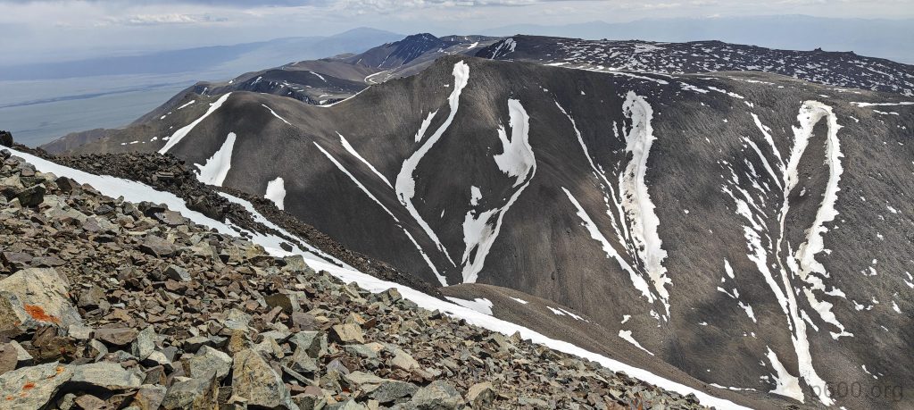
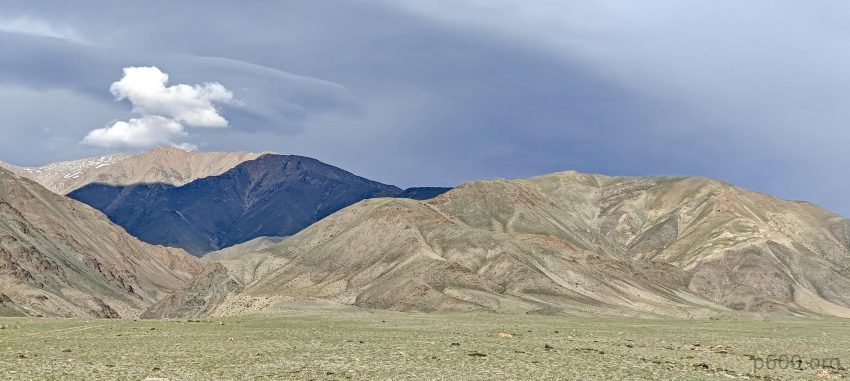
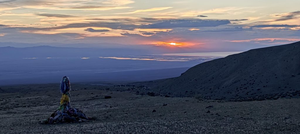
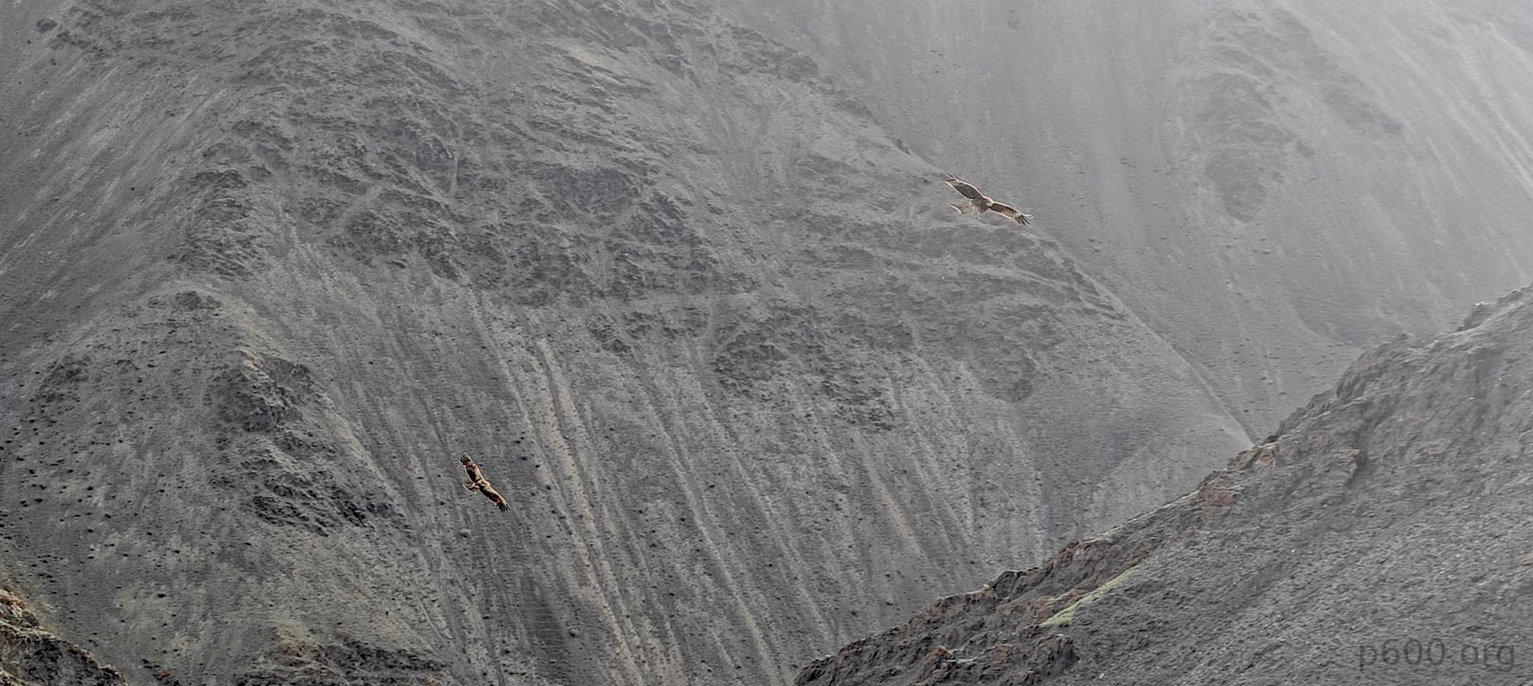
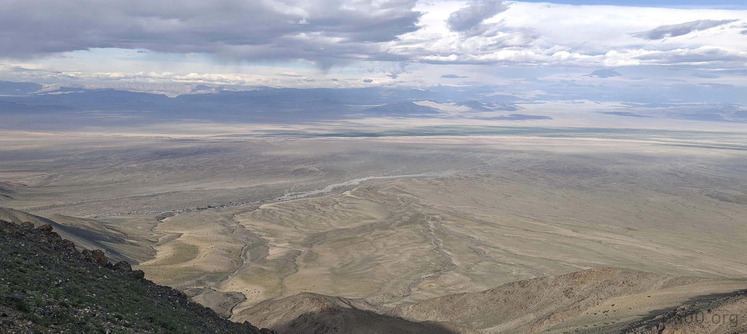
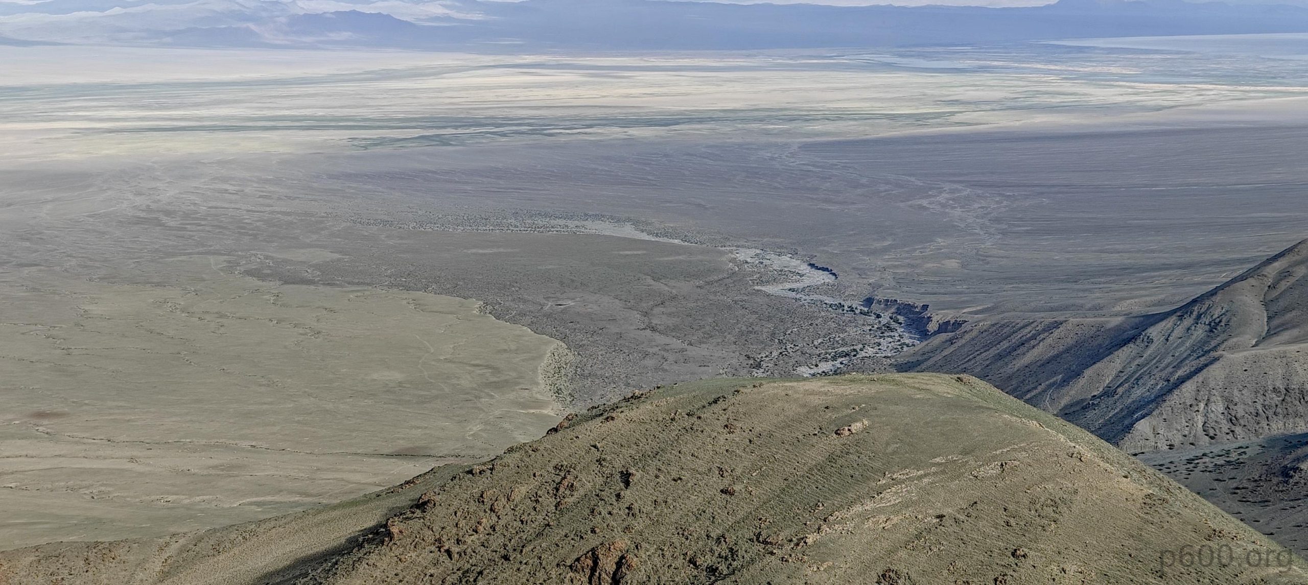
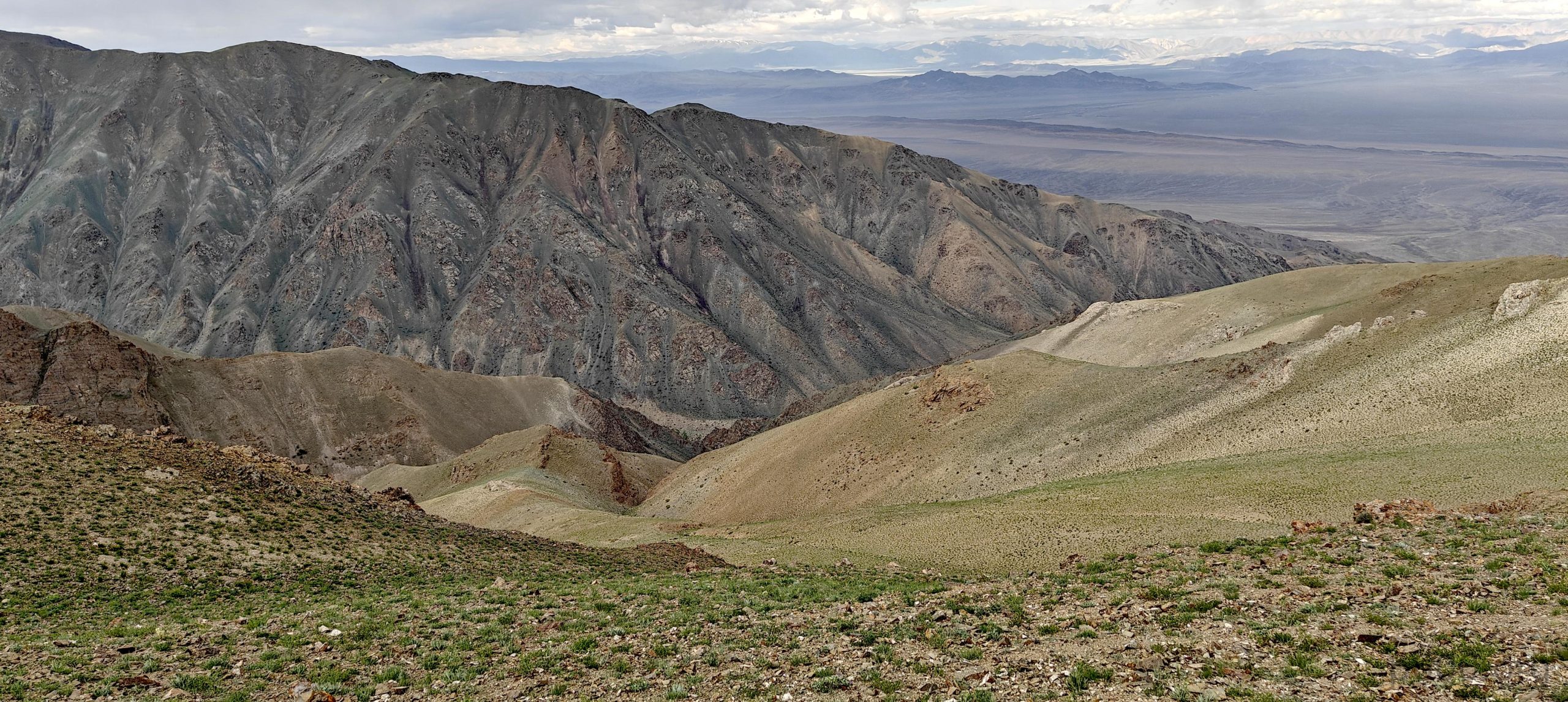
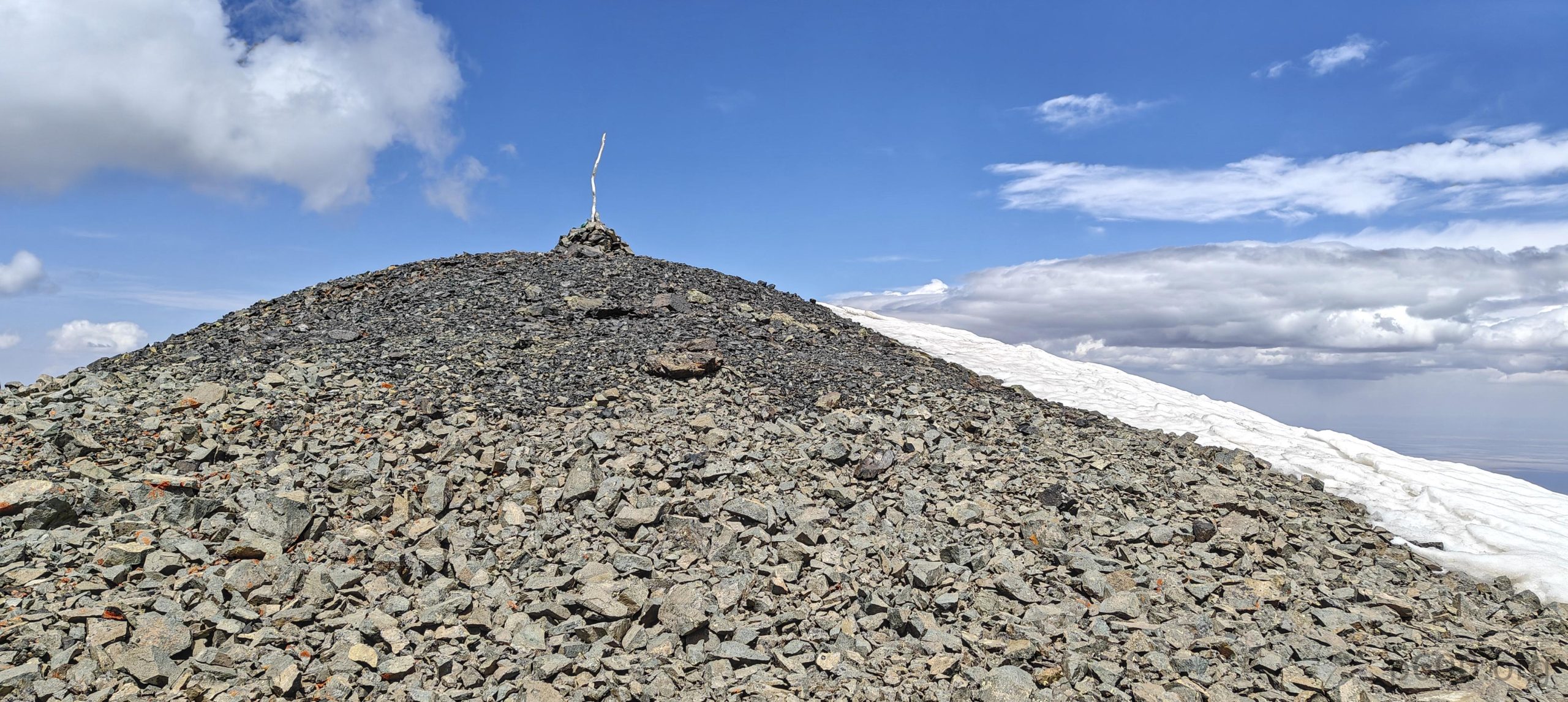
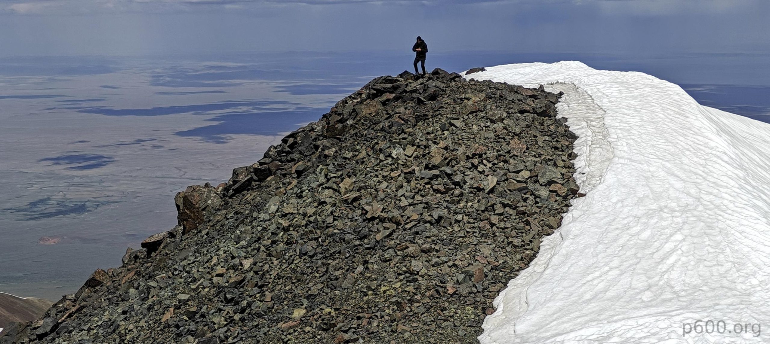
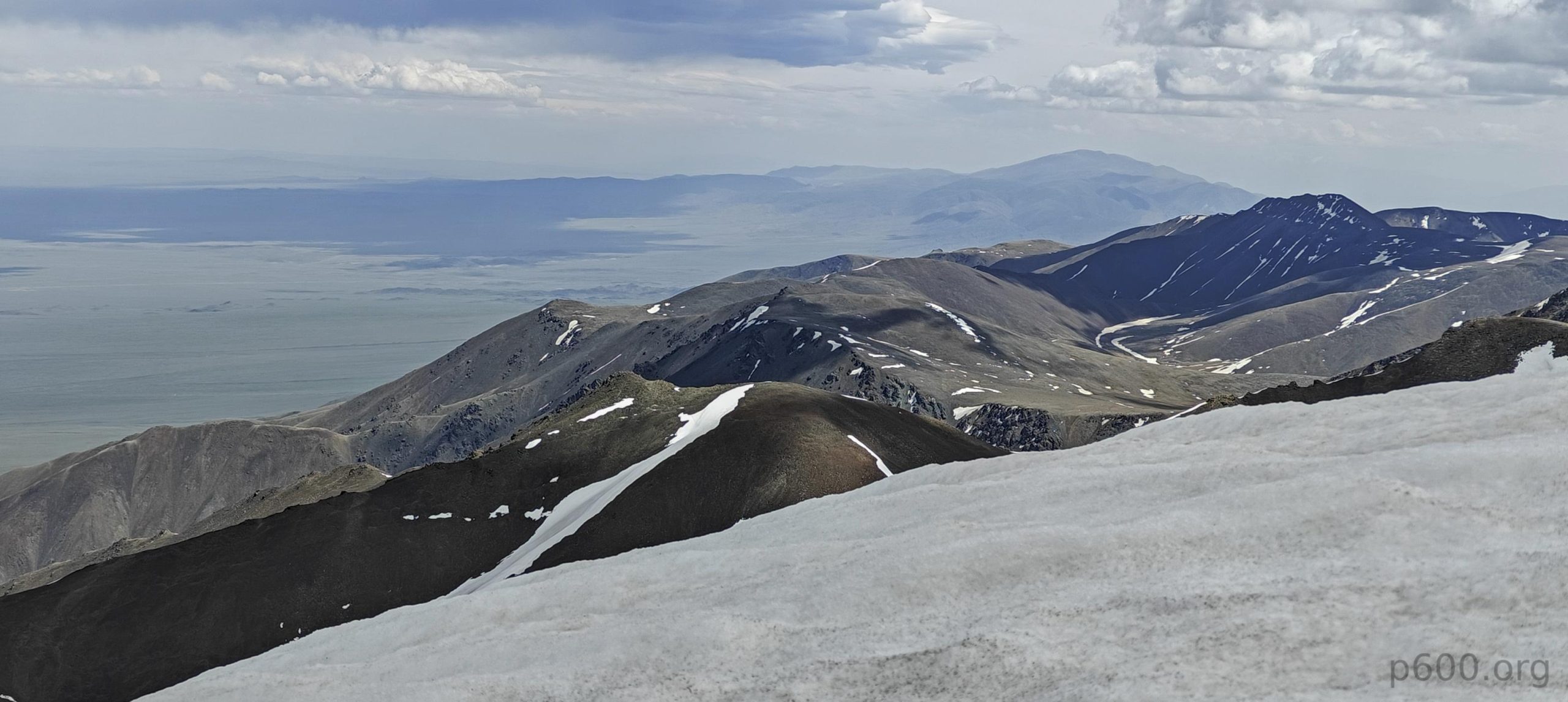
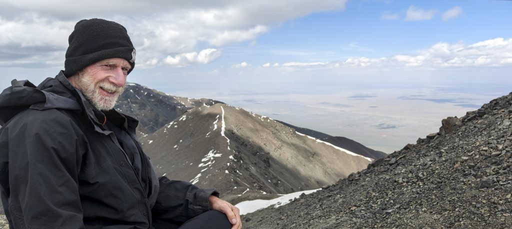
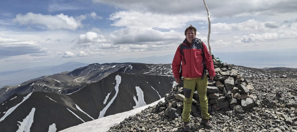
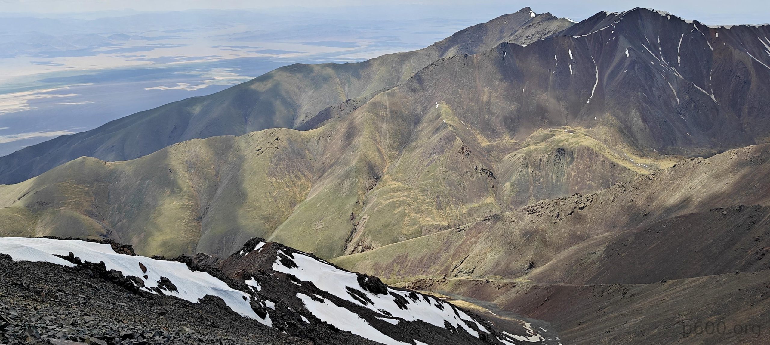
Standing atop the snow-free summit, marked by a lone cairn, we were rewarded with a panorama that could knock your socks off (metaphorically, of course, as proper footwear is crucial in these parts). Clear skies only enhanced the vast, rugged beauty stretching out before us. After a well-deserved victory break, we began the descent, carrying with us the memories of conquering this remote peak and a newfound appreciation for the power of adapting plans on the fly.

The summit cairn is just twenty meters ahead.
We’ve followed this stream all the way.
Rob is checking a bump near the summit, just in case it’s higher, but it looks like it’s lower.
Other peaks on the horizon. This may be Altan Hohiy.
Rob and i at the summit
The summit rises above the lower bump.
The lush green slopes look beautiful.
Looking back at the summit ridge.
We are moving towards the camp quite quickly.
There are trees by the stream very close to our camp.
Tulipa altaica
If it looks like, if it smells like, it is…

This marked our seventh Mongolian ultra peak, and let’s just say, the trip was already exceeding our wildest expectations. With a thousand kilometers still separating us from Ulaanbaatar and a few days left before our flight home, we set our sights on another ultra prominent peak, Otgon Tenger Uul. Stay tuned for more tales of Mongolian mishaps and, hopefully, more majestic views!


Jargalant Khairkhan3796 m altitude
2353 m prominence
79.57 km isolation
RangesMongolia Ranges - Altai
Countries/regionsKhovd - Mongolia
Distance9.60 km up9.40 km down
Elevation1894 m gain1894 m loss
Time
7h15 up
0h15 other
4h00 down
11h30 total
Trailhead2001 m altitude47.6625830, 92.4702500
RouteStarting with a steeper slope from camp towards the summit ridge, we opted after an hour to descend 300 meters and follow the stream for most of the route, avoiding significant time on the ridge. The final ascent involved steeper, rocky terrain, presenting no technical challenges. After reaching the summit, we descended the same way, following the stream back to camp with a minor 50-meter reascent from the streambed to our camp located on its bank.
DifficultiesThe combination of distance and the absence of a trail makes for a long day
LinksGPX trail
  • Mongolia Ranges 2023
  • « Jast
  • Bunchant »

Mountain Ranges

Anatolia
Central Anatolia
Pontic Mountains
Southeast Anatolia
Taurus Mountains
Western Anatolia
Andes
Puna de Atacama
Atlas Mountains
High Atlas
Northwestern Atlas
Central America Ranges
Costa Rica-Panama Ranges
Central Central America
East China
Taiwan
Eastern Europe Ranges
Southeast Baltic Plains
Iberian Peninsula
Cordillera Cantabrica
Castile Ranges
Portugal-Galicia
Pyrenees
Intermountain West
Great Basin Ranges
Korea-Amur Area
Taebaek Sanmae
Malay Archipelago
Java
Nusa Tengarra
Sulawesi
Sumatra
Mid-Atlantic Islands
North Atlantic Islands
Mongolia Ranges
Altai
Gobi Desert Ranges
Hangay Mountains
Northwest Europe
Great Britain
North France-West Rhine Area
Pacific Ranges
Cascade Range
Northwest U.S. Coast Ranges
Sierra Nevada
Central and Southern California Ranges
Philippines
Central Philippines
Luzon
Mindanao
Southeast Asia
Malay Peninsula
Southeast South America
Pampas
Sierras de Cordoba
Southern Africa
Malawi Highlands
West Africa Mountains
Bight of Benin
Cameroon Mountains
Guinea Highlands

Countries / regions

Algeria
Ain Guezzam
Ain Salah
Aïn Témouchent
El Bayadh
Ghardaïa
Oran
Ouargla
Saïda
Sidi Bel Abbès
Tamanrasset
Argentina
Catamarca
Ciudad Autónoma de Buenos Aires
Córdoba
Jujuy
Salta
Tucumán
Belgium
Brussels Capital Region
Flemish Region
Cameroon
Southwest
China
Taiwan
Costa Rica
Alajuela
Cartago
Guanacaste
Heredia
Limón
San José
Czechia
Prague
Denmark
Greenland
France
Hauts-de-France
Occitania
Germany
Berlin
Niedersachsen
Indonesia
Bali
Jambi
Jawa Tengah
Jawa Timur
Nusa Tenggara Barat
Sulawesi Tengah
Sulawesi Utara
Sumatera Barat
Lithuania
Vilnius County
Mongolia
Bayankhongor
Govi-Altai
Khovd
Omnogovi
Ovorkhangai
Ulan Bator
Zavkhan
Morocco
Béni Mellal-Khénifra
Drâa-Tafilalet
Fez-Meknes
Marrakesh-Safi
Souss-Massa
Tangier-Tetouan-Al Hoceima
Mozambique
Zambezia
Netherlands
Gelderland
Noord-Holland
Zeeland
Nicaragua
Chinandega
Managua
Masaya
Rivas
Philippines
Bicol Region (V)
Cagayan Valley (II)
Calabarzon (IV-A)
Central Luzon (III)
Cordillera Administrative Region
Davao Region
Metro Manila
Soccsksargen (XII)
Western Visayas (VI)
Poland
Greater Poland Voivodeship
Masovian Voivodeship
Portugal
Castelo Branco
Leiria
Lisbon
Madeira
Santarém
Qatar
Ad-Dawhah
São Tomé and Príncipe
São Tomé Province
Sierra Leone
Northern Province
Western Area
Singapore
South Korea
Gyeongsangnam-do
Seoul
Spain
Aragón
Asturias
Castilla-La Mancha
Castilla y León
Catalonia
Islas Canarias
Switzerland
Zürich
Turkey
Antalya
Bitlis
Erzincan
Hakkâri
Igdir
Isparta
Kahraman Maras
Muğla
United Kingdom
England
Scotland
United States
California
Delaware
Florida
Maryland
Nevada
New Jersey
New York
Pennsylvania
South Carolina
Utah

TRIPS

2024
Southern Africa 2024
Mid-Atlantic Islands 2024
North America 2024
Anatolia 2024
Korea-Amur Area 2024
East China 2024
2023
Mongolia Ranges 2023
Philippines 2023
West Africa III 2023
West Africa II 2023
Iberian Peninsula 2023
West Africa 2023
Central America 2023
2022
Andes 2022
Northwest Europe 2022
Malay Archipelago III 2022
Malay Archipelago II 2022
Anatolia Mountains 2022
Iberian Peninsula 2022
Atlas Mountains 2022
North France-West Rhine Area 2022

archaeology (3) climb (157) food (2) hike (155) p30 (17) p50 (4) p100 (24) p300 (12) p600 (17) p1000 (11) p1500 (76) ribu (10) sight (46) summary (16) trig (44) ultra (76)

1 591 km walked, 121 298 m climbed

©2025 p600.org | WordPress Theme by Superbthemes.com