Skip to content
Menu
p600.org
  • home
  • map
  • trips
  • about
p600.org

Tergun Bogd

hike | 2023-06-13

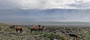
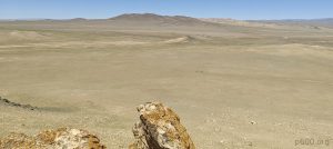
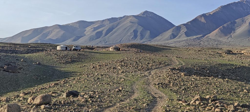
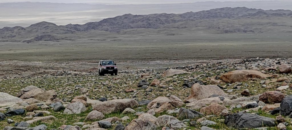
Our third ultra-peak adventure looms in the distance, teasing us with its inaccessibility for a simple day hike. We ambitiously seek a path to its steeper inclines, guided by satellite images of elusive car tracks that play a frustrating game of now-you-see-me, now-you-don’t. As twilight descends, we push our vehicle to its limits until the last whispers of 4G signal fade, marking our makeshift trailhead for the night. The promise of a true off-road experience becomes a reality as we prepare to tackle the remaining distance on foot in the morning, where the notion of a “track” becomes generously interpretive.

Near the base of the mountain, as is often the case, we encounter local households
We ascended the leftmost ridge of Tergun Bogd summit and descended via the second ridge

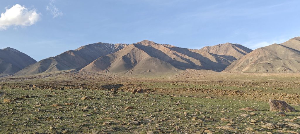
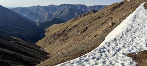
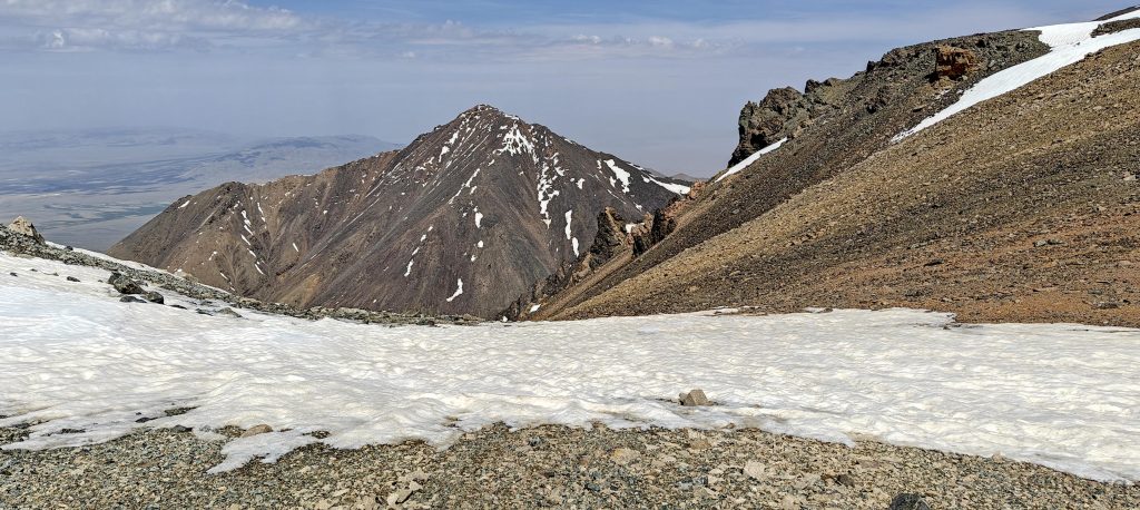
Choosing our route becomes an evening strategy session, with four ridges vying for our attention, each seemingly as inviting as the next. Driven by a default left-to-right bias—okay, not really—we settle on the leftmost ridge, not for its position but for its deceptive simplicity and directness. Despite the snow-capped peak, the summit’s flat profile on our maps reassures us enough to leave our crampons behind, a decision fueled by optimism more than evidence.

Views from the camp
Hornungia alpina (left) and Androsace villosa (right)
Wild rhubarb (left);
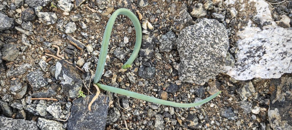
If it looks like onion, if it smells like onion, if taste like onion – it is onion (right)
Looking back from the slopes
Steppes are at the base of the mountain
Gradual slopes are at the beginning
The surface is friendly

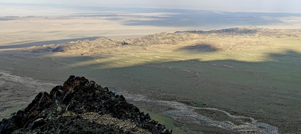
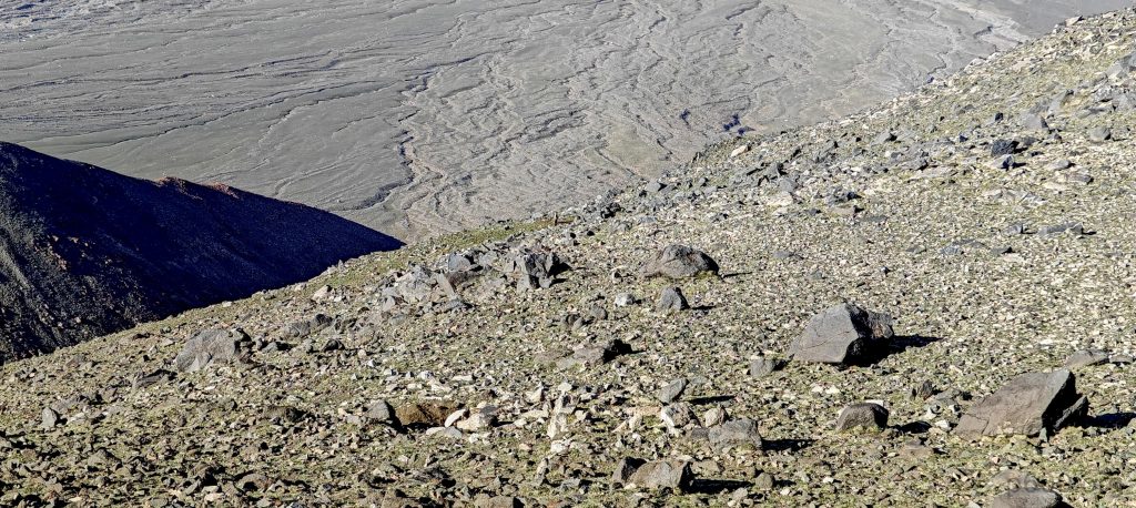
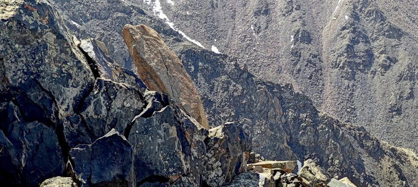
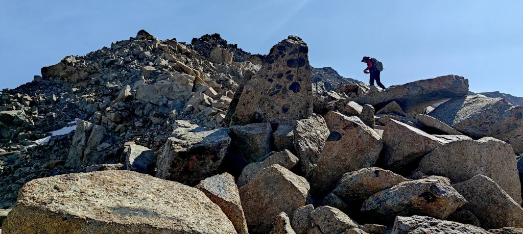
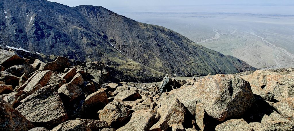
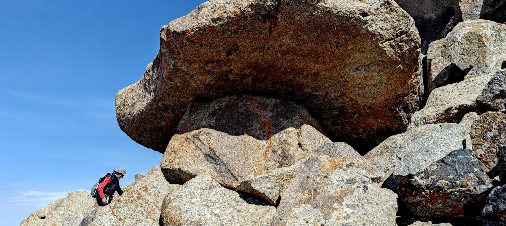
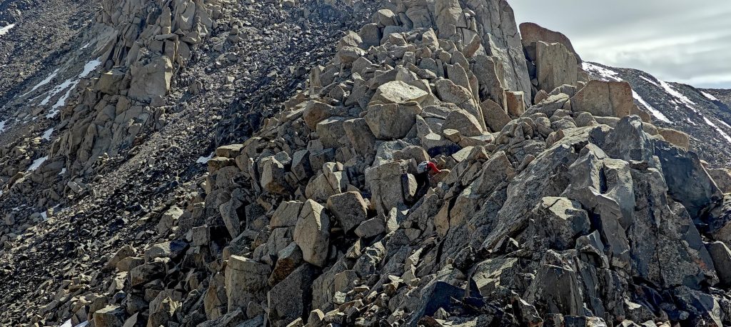
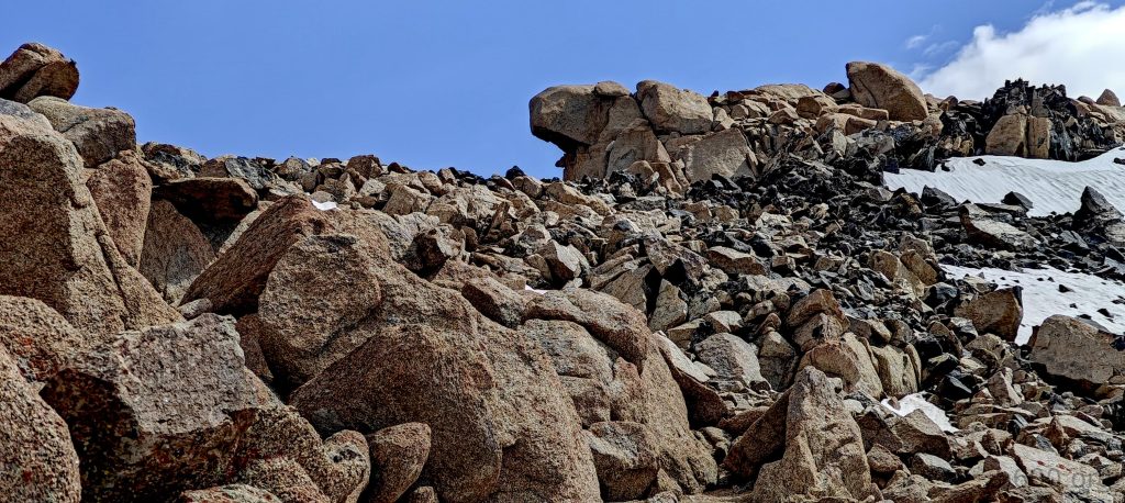
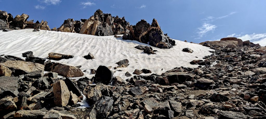
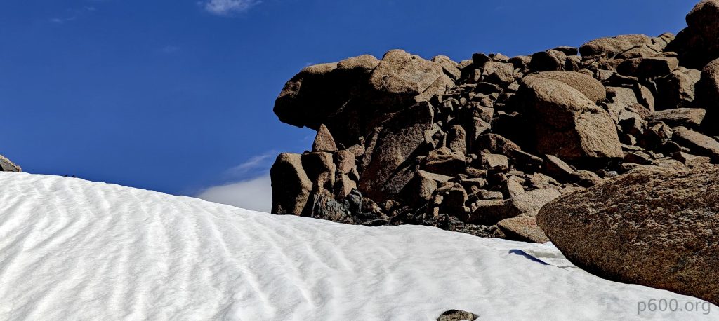
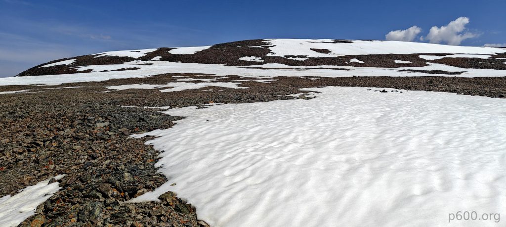
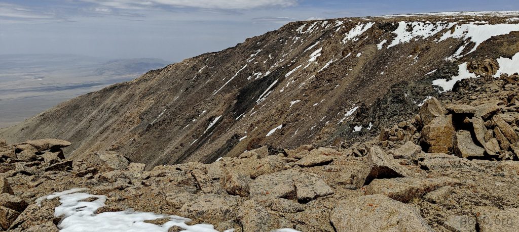
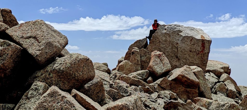
The initial ascent offers a pleasant trek up gradual slopes, but the final approach is anything but gentle, turning into a boulder scramble with sizes varying from mere sports equipment to furniture pieces. Thankfully, the route allows us to sidestep the most precarious maneuvers among the unstable giants.

Soon, we scramble up a rocky slope. Some of the rocks are quite unstable
Looking back from the ridge
Iimpressively sized rocks hang above our heads
In a few places, pathfinding is more complex
Nice rock formations
We are approaching the end of the seemingly infinite rocky ridge
Finally, we start seeing the summit plateau
While climbing up, we look at the parallel ridge, which we will use for descent

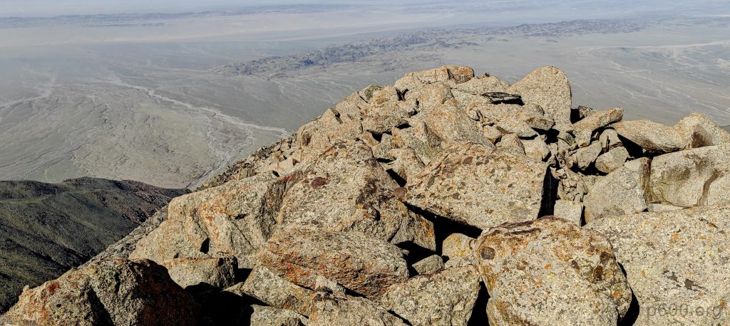
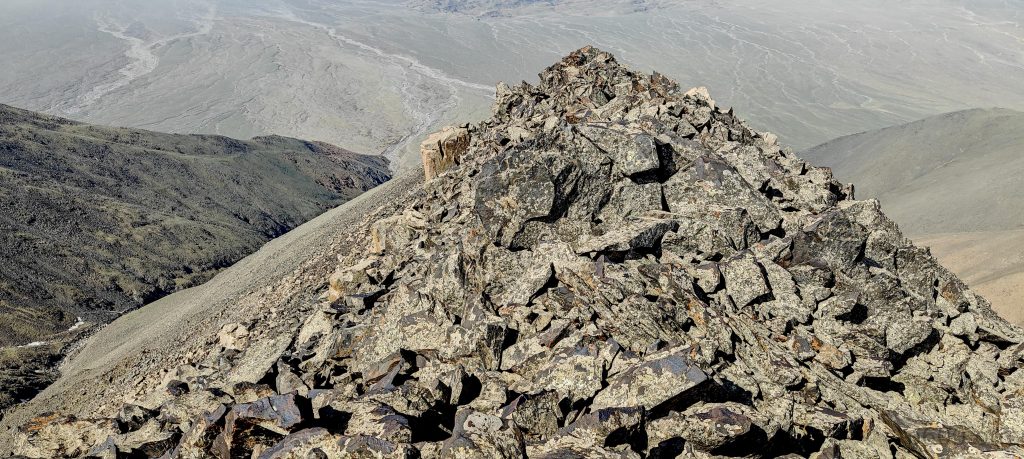
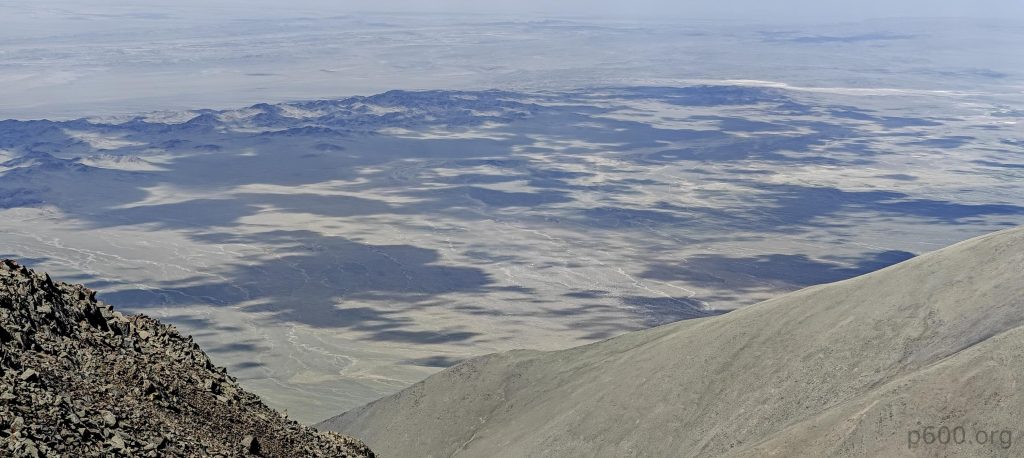
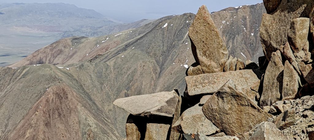
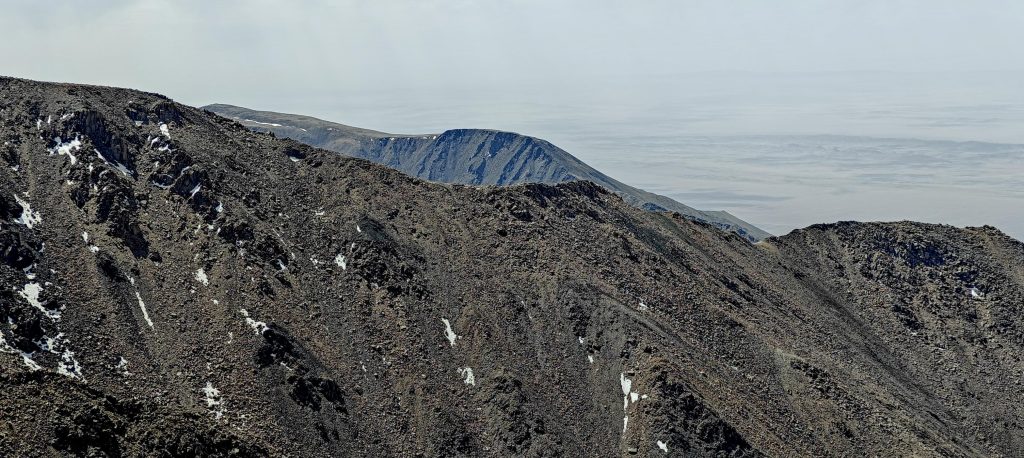
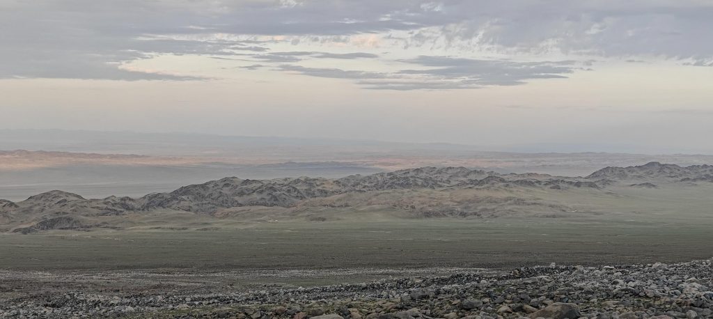
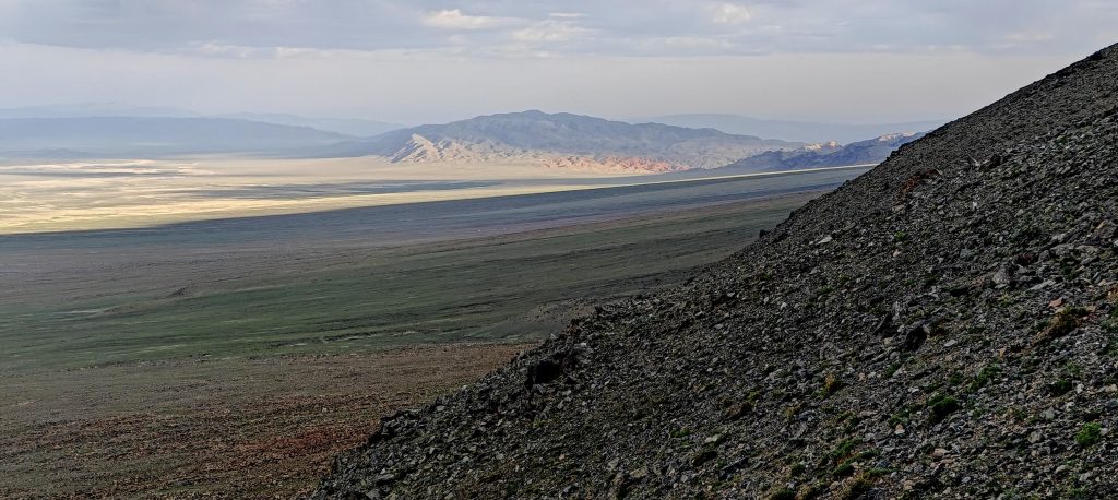
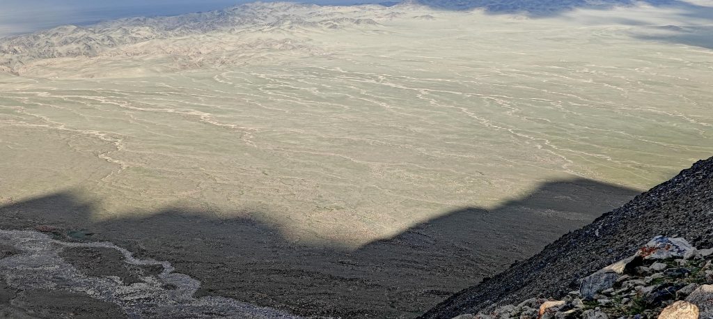
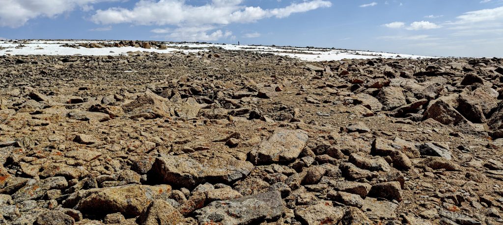
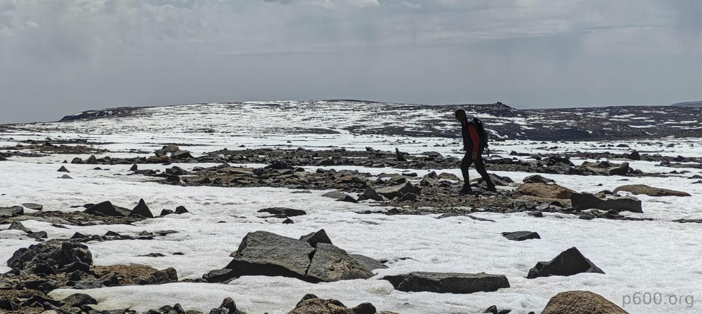
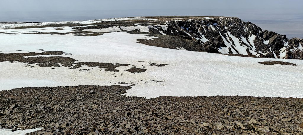
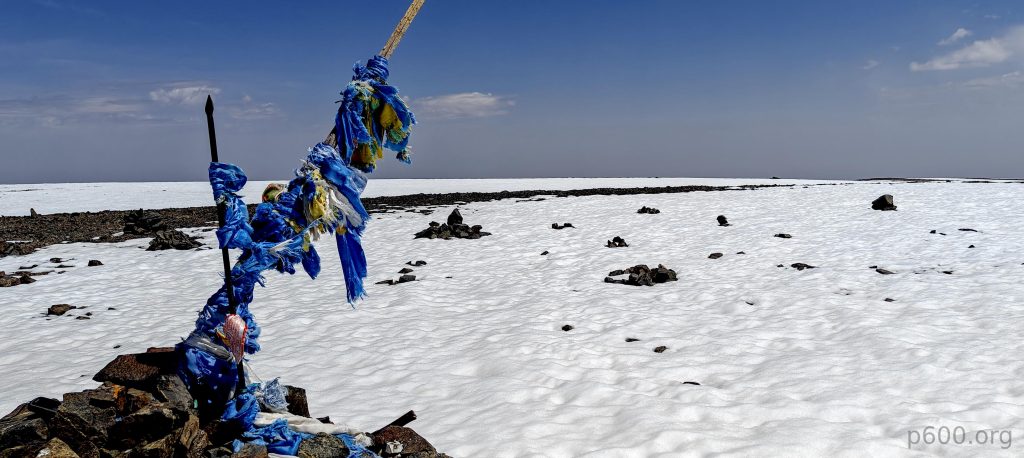
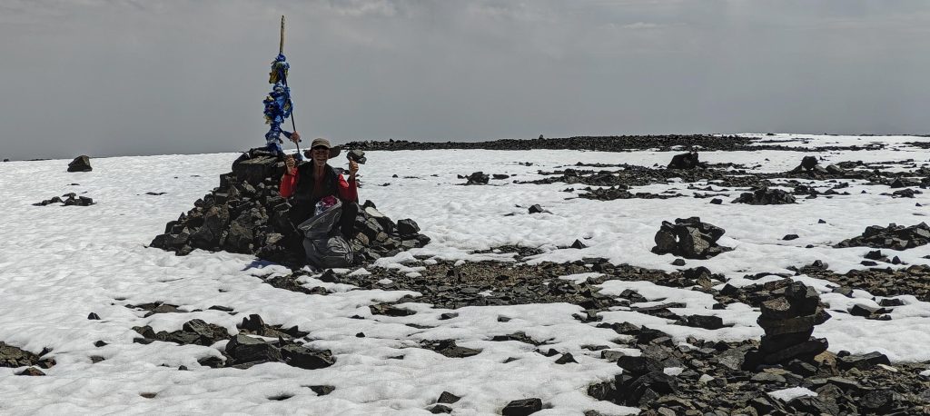
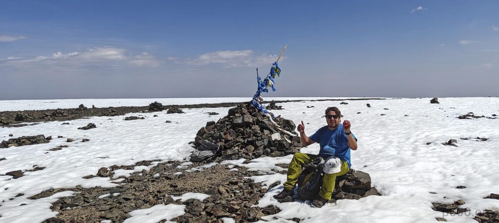
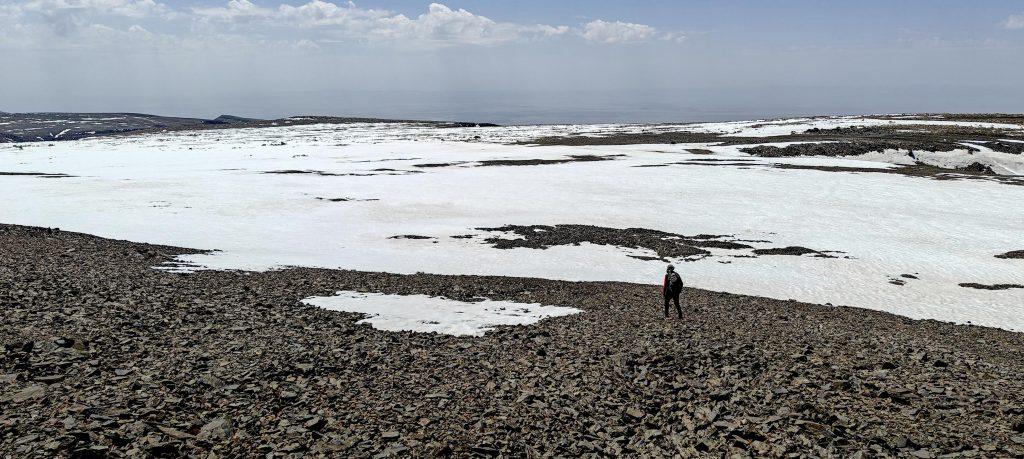
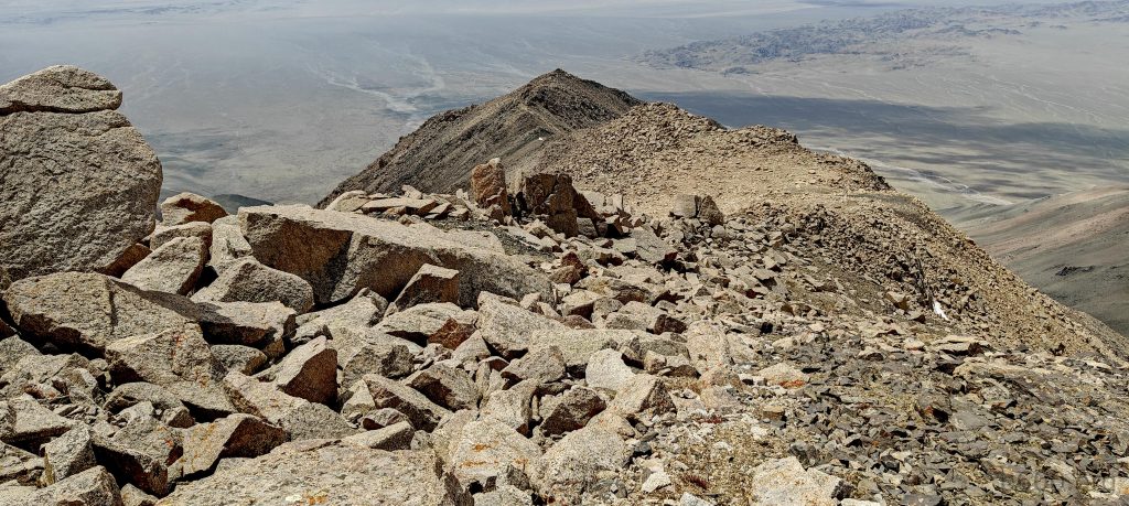
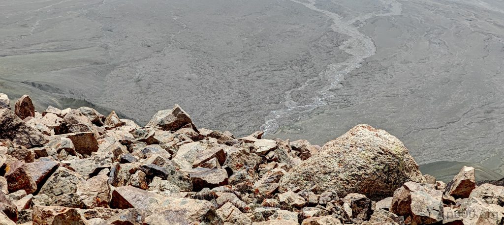
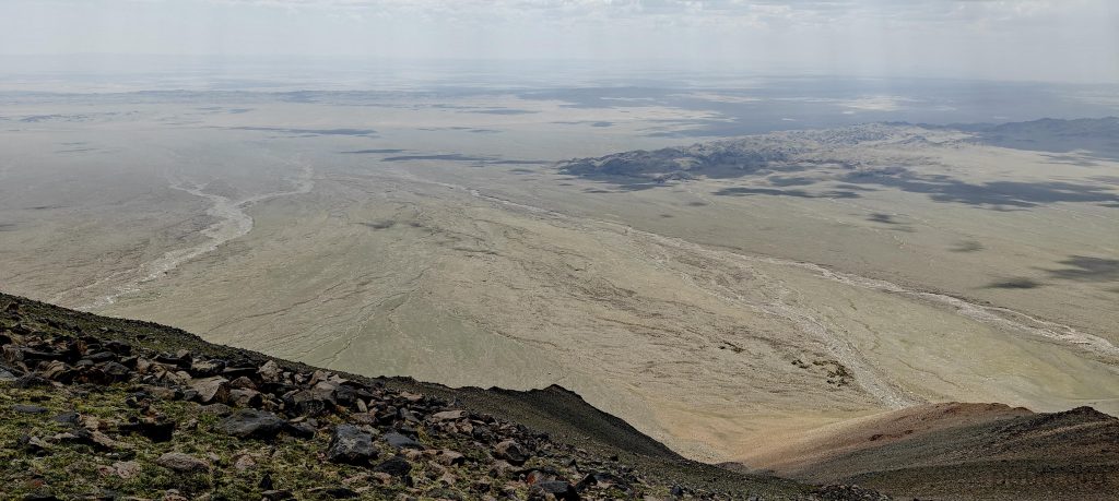
Approaching the summit, we’re met with a vast plateau, its 2×3 km expanse teasingly interspersed with soft snow that refuses to bear our weight, presenting a dilemma of choosing between the lesser of two uneven terrains. Yet, the sight of the summit, adorned with a traditional cairn and fluttering blue fabric, bolsters our spirits for the final push, free of significant barriers.

We encounter the first patches of soft snow
On the summit plateau, a small point in the middle represents Rob
Rob crossing the summit plateau
The north west summit (P350)
Finally, the true summit is in view
Looking back, there’s a bit of soft snow, but it’s not bad. We are moving reasonably fast
Final summit ascent

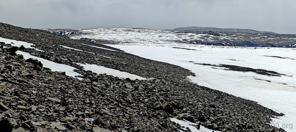
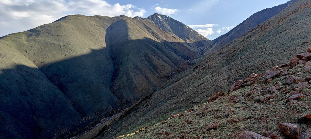
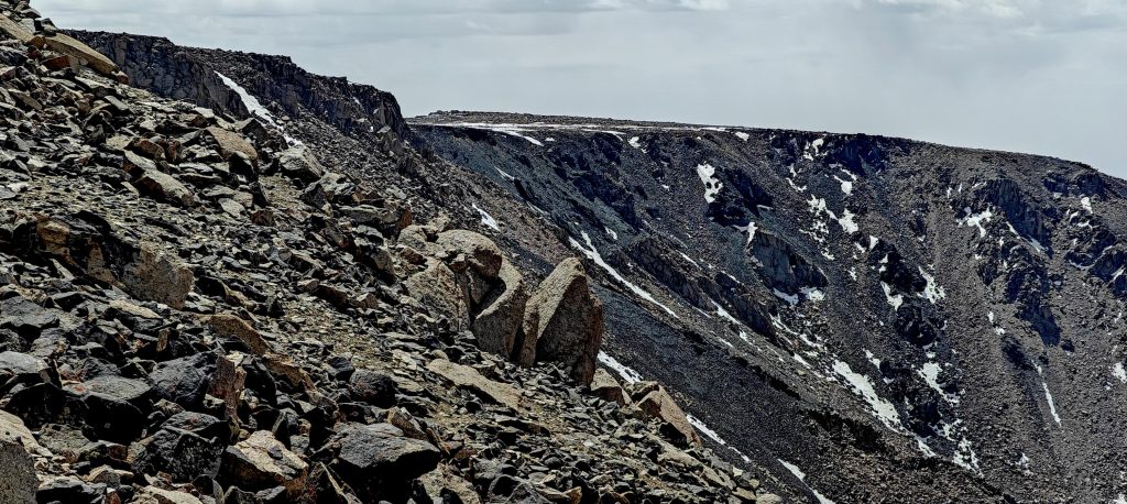
Mongolian summits, with their characteristic cairns and blue markers, offer a brief respite before we contemplate our descent. The adjacent ridge, observed during our ascent through the boulders, beckons with the allure of the unknown. Yielding to curiosity, we opt for the scenic, albeit longer, return via ridge number two, its softer challenges a welcome change from our earlier trials.

Summit cairn marking the highest point
Rob and i at the summit
Buddhist swastikas made out of stones
Our ascent took place on this “leftmost” ridge
The path on the way down is longer, but it’s less rocky and easier to walk

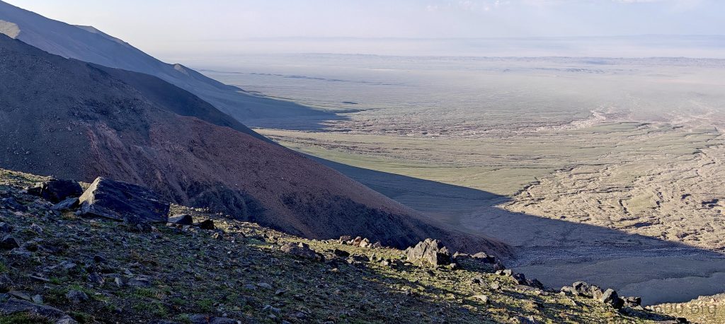
This alternate route, while lengthier, proves less demanding, allowing for a quicker descent peppered with short breaks, guiding us back towards our starting point with renewed speed.

Peakbagger
One more P4 🙂
Views on the way down
Getting to this point definitely requires a 4WD vehicle with high clearance

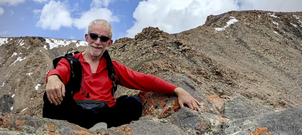
Summiting this third ultra-peak injects us with a potent mix of confidence and ambition, leaving me to muse on the chicken-or-egg conundrum of confidence versus belief. Such philosophical musings accompany us as we set our sights on the next challenge: Hasgat Khairkhan Uul, with spirits undiminished and eyes firmly on the peaks ahead.


Tergun Bogd3957 m altitude
1979 m prominence
356.34 km isolation
RangesMongolia Ranges - Altai
Countries/regionsMongolia - Bayankhongor
Distance6.20 km up7.90 km down
Elevation1636 m gain1636 m loss
Time
5h35 up
0h10 other
4h20 down
10h05 total
Trailhead2320 m altitude44.9481660, 100.1784160
RouteStarting from the mountain's base, our ascent begins on the gradual slope of the "leftmost" ridge, leading us into a challenging boulder field that slows our progress. Despite this, we successfully navigate through, reaching a summit plateau dotted with snow patches that pose little difficulty in navigation. For our descent, we opt for "ridge two," a slightly longer route that offers an easier and more straightforward path back down.
DifficultiesAccessing the trailhead necessitates a 4WD vehicle with high clearance due to challenging terrain. Near the summit plateau, hikers must navigate through a boulder field containing some unstable boulders, requiring caution.
LinksGPX trail
  • Mongolia Ranges 2023
  • « Myangan Yamaat
  • Peak 2085m, Bayankhongor »

Mountain Ranges

Anatolia
Central Anatolia
Pontic Mountains
Southeast Anatolia
Taurus Mountains
Western Anatolia
Andes
Puna de Atacama
Atlas Mountains
High Atlas
Northwestern Atlas
Central America Ranges
Costa Rica-Panama Ranges
Central Central America
East China
Taiwan
Eastern Europe Ranges
Southeast Baltic Plains
Iberian Peninsula
Cordillera Cantabrica
Castile Ranges
Portugal-Galicia
Pyrenees
Intermountain West
Great Basin Ranges
Korea-Amur Area
Taebaek Sanmae
Malay Archipelago
Java
Nusa Tengarra
Sulawesi
Sumatra
Mid-Atlantic Islands
North Atlantic Islands
Mongolia Ranges
Altai
Gobi Desert Ranges
Hangay Mountains
Northwest Europe
Great Britain
North France-West Rhine Area
Pacific Ranges
Cascade Range
Northwest U.S. Coast Ranges
Sierra Nevada
Central and Southern California Ranges
Philippines
Central Philippines
Luzon
Mindanao
Southeast Asia
Malay Peninsula
Southeast South America
Pampas
Sierras de Cordoba
Southern Africa
Malawi Highlands
West Africa Mountains
Bight of Benin
Cameroon Mountains
Guinea Highlands

Countries / regions

Algeria
Ain Guezzam
Ain Salah
Aïn Témouchent
El Bayadh
Ghardaïa
Oran
Ouargla
Saïda
Sidi Bel Abbès
Tamanrasset
Argentina
Catamarca
Ciudad Autónoma de Buenos Aires
Córdoba
Jujuy
Salta
Tucumán
Belgium
Brussels Capital Region
Flemish Region
Cameroon
Southwest
China
Taiwan
Costa Rica
Alajuela
Cartago
Guanacaste
Heredia
Limón
San José
Czechia
Prague
Denmark
Greenland
France
Hauts-de-France
Occitania
Germany
Berlin
Niedersachsen
Indonesia
Bali
Jambi
Jawa Tengah
Jawa Timur
Nusa Tenggara Barat
Sulawesi Tengah
Sulawesi Utara
Sumatera Barat
Lithuania
Vilnius County
Mongolia
Bayankhongor
Govi-Altai
Khovd
Omnogovi
Ovorkhangai
Ulan Bator
Zavkhan
Morocco
Béni Mellal-Khénifra
Drâa-Tafilalet
Fez-Meknes
Marrakesh-Safi
Souss-Massa
Tangier-Tetouan-Al Hoceima
Mozambique
Zambezia
Netherlands
Gelderland
Noord-Holland
Zeeland
Nicaragua
Chinandega
Managua
Masaya
Rivas
Philippines
Bicol Region (V)
Cagayan Valley (II)
Calabarzon (IV-A)
Central Luzon (III)
Cordillera Administrative Region
Davao Region
Metro Manila
Soccsksargen (XII)
Western Visayas (VI)
Poland
Greater Poland Voivodeship
Masovian Voivodeship
Portugal
Castelo Branco
Leiria
Lisbon
Madeira
Santarém
Qatar
Ad-Dawhah
São Tomé and Príncipe
São Tomé Province
Sierra Leone
Northern Province
Western Area
Singapore
South Korea
Gyeongsangnam-do
Seoul
Spain
Aragón
Asturias
Castilla-La Mancha
Castilla y León
Catalonia
Islas Canarias
Switzerland
Zürich
Turkey
Antalya
Bitlis
Erzincan
Hakkâri
Igdir
Isparta
Kahraman Maras
Muğla
United Kingdom
England
Scotland
United States
California
Delaware
Florida
Maryland
Nevada
New Jersey
New York
Pennsylvania
South Carolina
Utah

TRIPS

2024
Southern Africa 2024
Mid-Atlantic Islands 2024
North America 2024
Anatolia 2024
Korea-Amur Area 2024
East China 2024
2023
Mongolia Ranges 2023
Philippines 2023
West Africa III 2023
West Africa II 2023
Iberian Peninsula 2023
West Africa 2023
Central America 2023
2022
Andes 2022
Northwest Europe 2022
Malay Archipelago III 2022
Malay Archipelago II 2022
Anatolia Mountains 2022
Iberian Peninsula 2022
Atlas Mountains 2022
North France-West Rhine Area 2022

archaeology (3) climb (157) food (2) hike (155) p30 (17) p50 (4) p100 (24) p300 (12) p600 (17) p1000 (11) p1500 (76) ribu (10) sight (46) summary (16) trig (44) ultra (76)

1 591 km walked, 121 298 m climbed

©2025 p600.org | WordPress Theme by Superbthemes.com