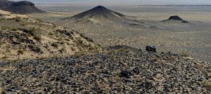
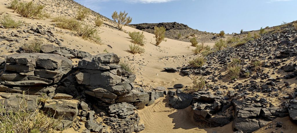
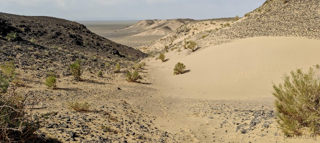
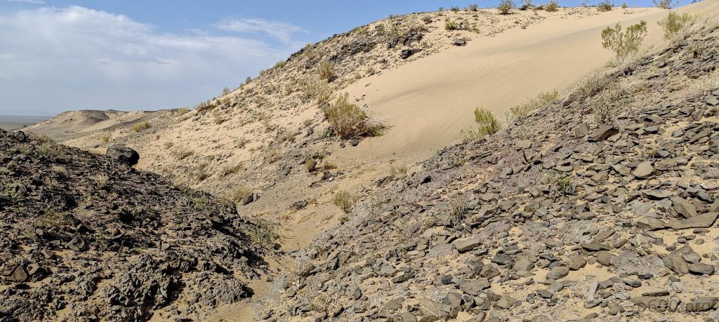
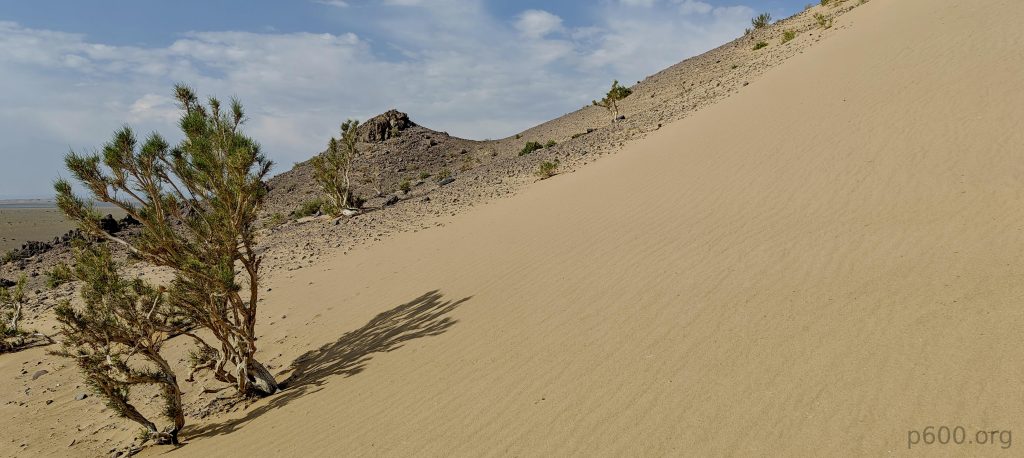
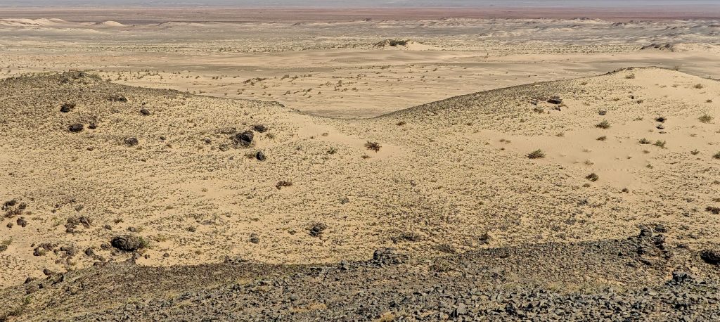
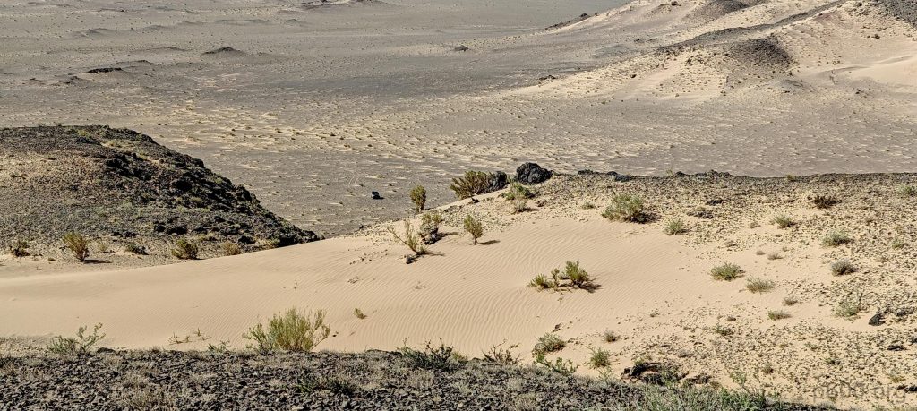
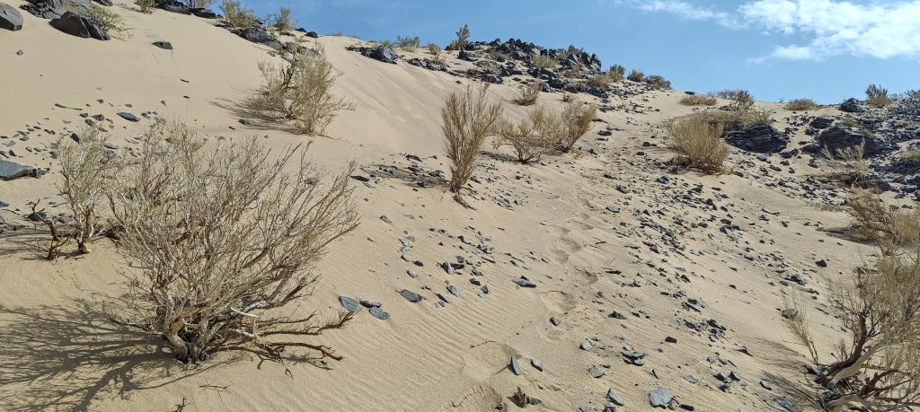
After summiting Peak 1156, Rob ventures northwest to Peak 1158, and I head back to the car, driving a few kilometers before we reconvene at the col. This new peak appears more approachable and gentler than its counterpart. Parking a short distance away, we split up once more: Rob explores the left slopes while I take on the right, discovering a sandy gully that leads me swiftly to the summit plateau, surrounded by the desert’s mesmerizing views.
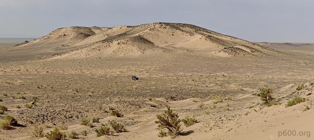
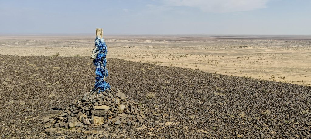
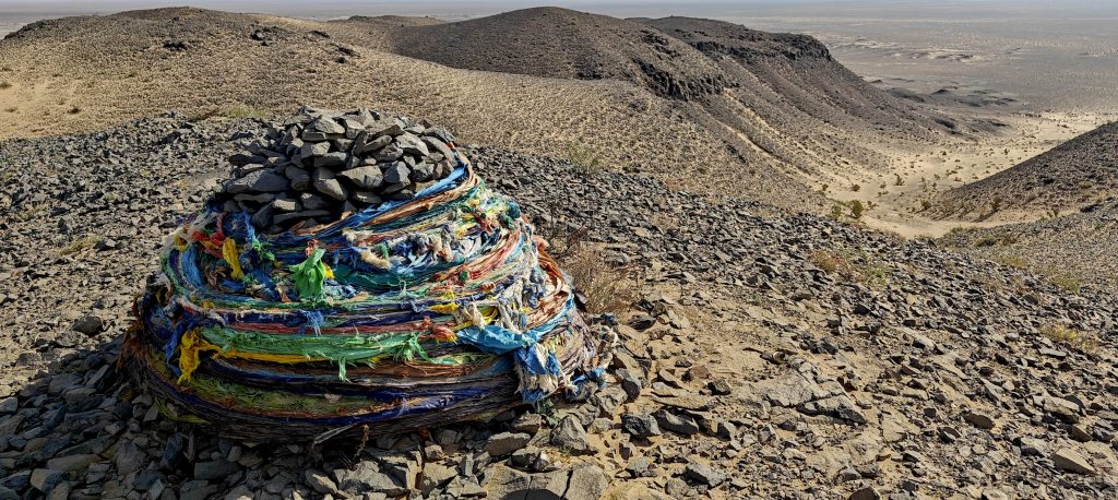
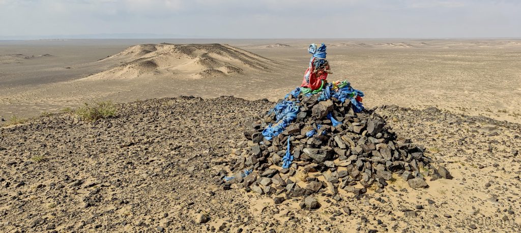
The summit, adorned with cairns and a small shrine, stands out, as do similar markers on the lesser sub-summits. Rob revisits Peak 1158, confirming Peak 1156 lower by a 2-meter margin on the GPS, a difference we trust given the clear conditions and rapid comparison.
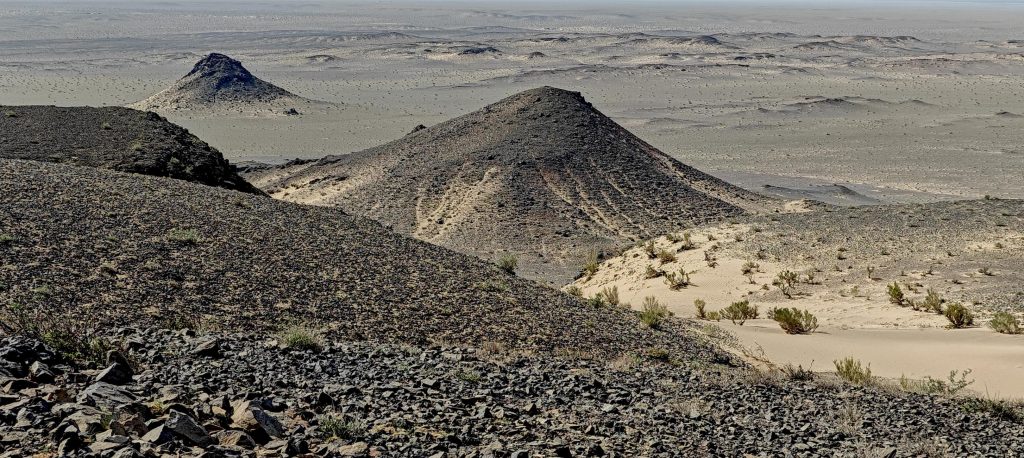
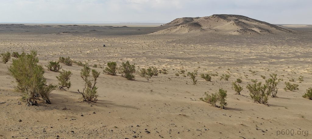
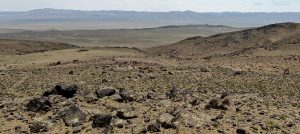
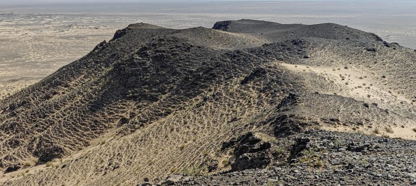
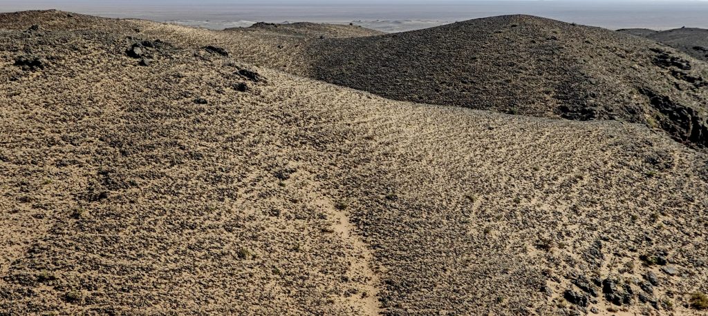
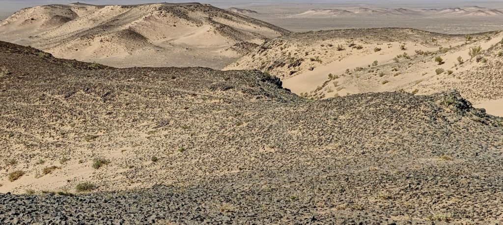
Descending, we exchange paths: Rob follows my earlier route, and I trace his ascent trail, meeting back at the car. Despite their modest heights and the short hikes required, Peaks 1156 and 1158, merely 1.2 km apart, enchant us with their natural beauty, making our exploration richly rewarding. Our journey continues towards Myangan Yamaat, with a detour planned for a quick hike to Ich-Tevsh-Ula.