Vaňovský vrch was my last summit of the day, which gave it an automatic advantage: by that point I no longer needed a grand expedition, just a hill that still felt worth climbing. This one did. At 561 m it is not especially high, and its isolation is fairly modest at about 2.85 km, but the prominence is much more to the point. With 235 m of drop to the key col, it clears the P200 line comfortably, which gives it more collector value than the many routine P100-type hills nearby. Coming straight from Střížovický vrch, this felt like a slightly higher and more worthwhile evening encore before the drive back to Prague.
The recorded walk was very short: 1.71 km in total, with about 0.87 km to the high point and 0.84 km back. I started from the west at roughly 50.61729, 14.05144, where the track begins on a forest road above Podlešín. On the ground it feels more like a simple climb of a bit over 100 vertical metres each way. Either way, the point stands: this is a quick hill, not a project. The weather helped. It was a dry, mild early-March evening, with light wind and good visibility, so the whole thing had the easy, end-of-day feel that makes short climbs especially pleasant.
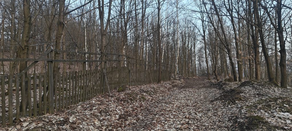
The first part was on a broad leaf-covered track, running gently uphill through open woodland. An old fence along one stretch gave the approach a slightly forgotten, edge-of-the-forest feel. Nothing here was difficult, and after a longer day that was exactly the point. I did not meet anyone at all on this ascent. The only company was a few deer in the forest, which was a better trade than most human summit conversations anyway. Higher up, the clear track gives way to smaller summit paths and the line becomes a little more vague, but only in the harmless way that wooded hilltops often do. The climb to the high point took roughly fifteen minutes.
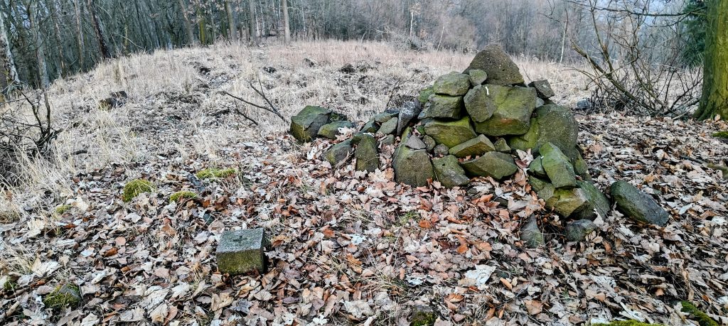
Vaňovský vrch does not offer a dramatic summit feature. The top is broad, wooded, and slightly understated, with a small stone cairn and a nearby concrete marker block providing the only clear summit furniture. Peakbagger lists the mountain at 561 m, while my GPS briefly read 569.3 m near the mapped summit coordinates, almost certainly an altitude error rather than a meaningful revision. In practical terms, the summit area is easy enough to identify once you reach the highest ground, even though there is no single throne-like high point. It is a quiet wooded top with a modest clearing and just enough definition to feel like a proper summit rather than an anonymous patch of forest.
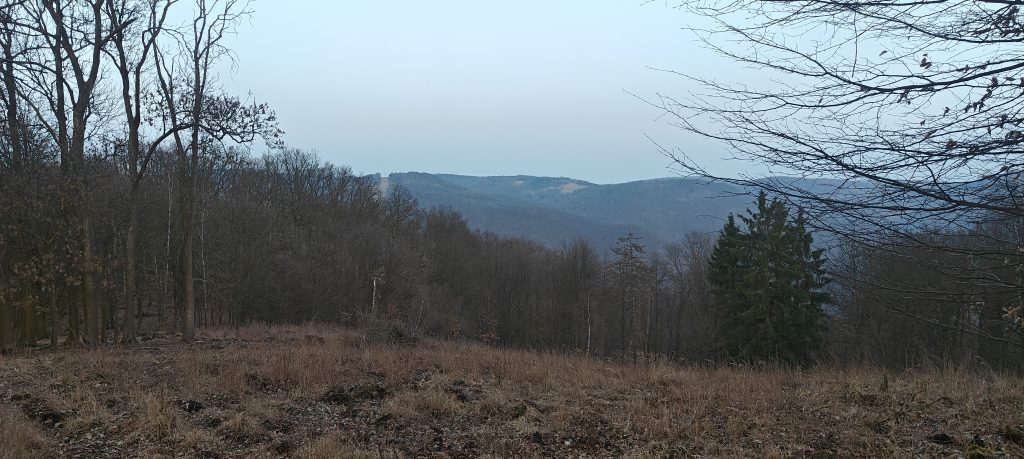
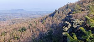
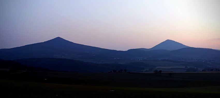
The summit itself is not a major viewpoint, but the mountain’s setting is better than the summit furniture suggests. Vaňovský vrch rises above the bend of the Labe between Podlešín, Vaňov and Brná, on the western side of Ústí nad Labem. Its nearest higher neighbour is Vysoký Ostrý across the river, which helps explain why this hill matters more to peakbaggers than the bare altitude would imply. It is one of those tops whose value is clearer on the map than on the ground. The value is in how clearly it stands above the valley and how neatly it can be picked up as a short but proper independent summit.
I did not spend long on top. I was around the high point for only a few minutes before turning back, and the descent took about seventeen minutes. By local Czech time I was finishing just after sunset, which suited the mood of the hill: quiet forest, soft evening light, no crowds, no summit circus, and one last small effort before the long drive home. For anyone repeating the walk, Vaňovský vrch is best treated exactly that way. It is not a destination for huge views or elaborate trail design. It is a short, efficient, slightly underplayed hill that earns its place through prominence, position above the Elbe, and the simple pleasure of a calm evening ascent. As a final peak of an already busy day, it did the job very well.
Approx. timing: about 17:36 start, 17:51 high point, 18:08 finish in local Czech time; the GPX device clock appears to have been one hour ahead
Trailhead / start of recorded track: approx. 50.61729, 14.05144
Highest recorded GPS point: 569.3 m at 50.614406, 14.059600
Terrain: broad forest road on the lower part, then smaller leaf-covered summit paths; dry on this outing
Sections: lower forest track, short summit-path section, brief top wander, same-way descent
Difficulty: easy short walk; only minor path vagueness near the summit
Useful to know: the summit is quiet and understated rather than scenic; good as a quick add-on from Střížovický vrch or as a short standalone evening hill