Skip to content
Menu
p600.org
  • home
  • map
  • trips
  • about
p600.org

Volcán Maderas

hike | 2023-01-09

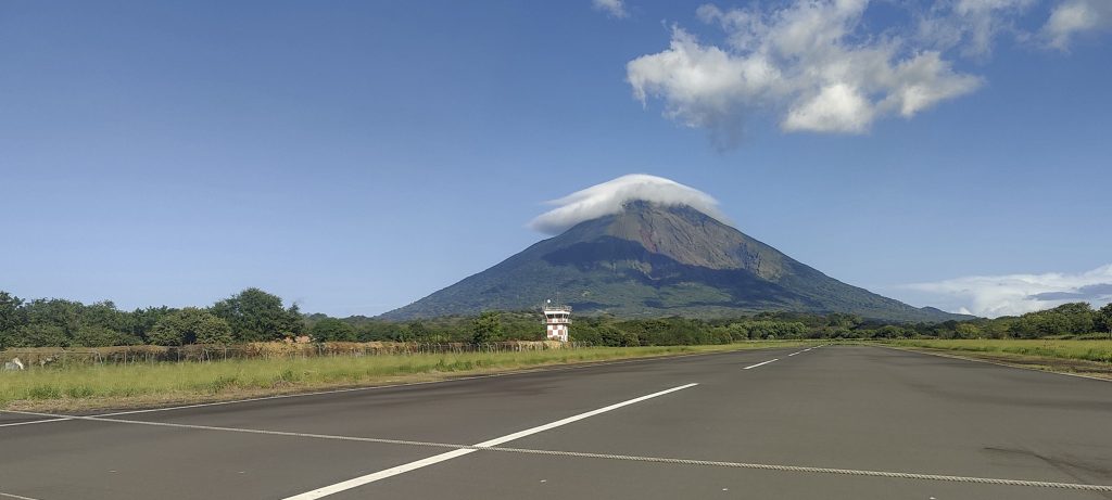
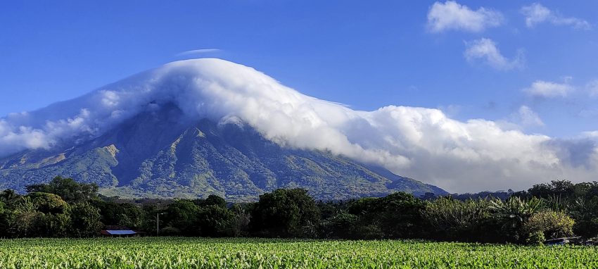
The ferry leaves in the afternoon, so we get up early and make our way to the Volcano Maderas trailhead. The road is asphalted and not bad, but the biggest danger is the “sleeping policemen” who are hard to see. But that’s what they were invented for, to drive slowly. I can say that they do a good job.

Volcán Concepción in the background

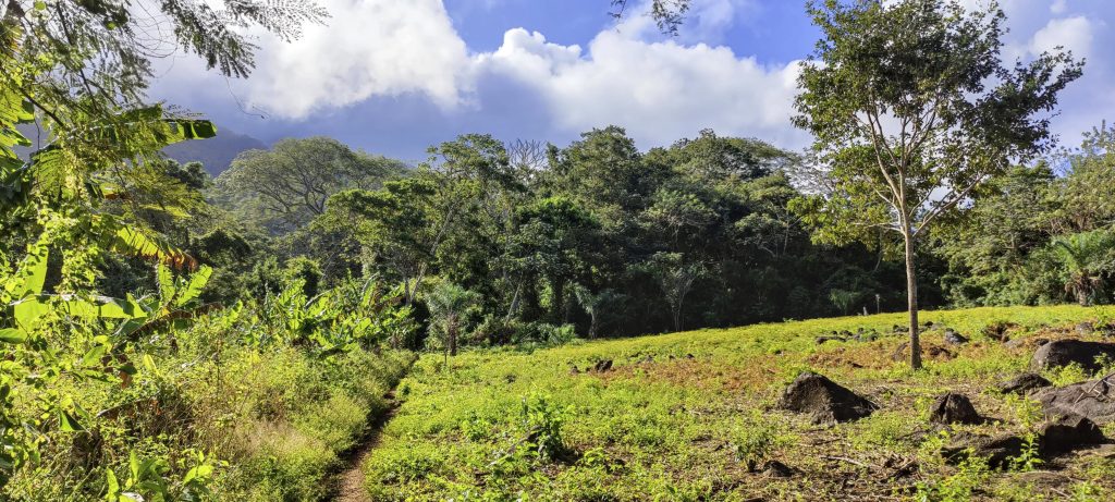
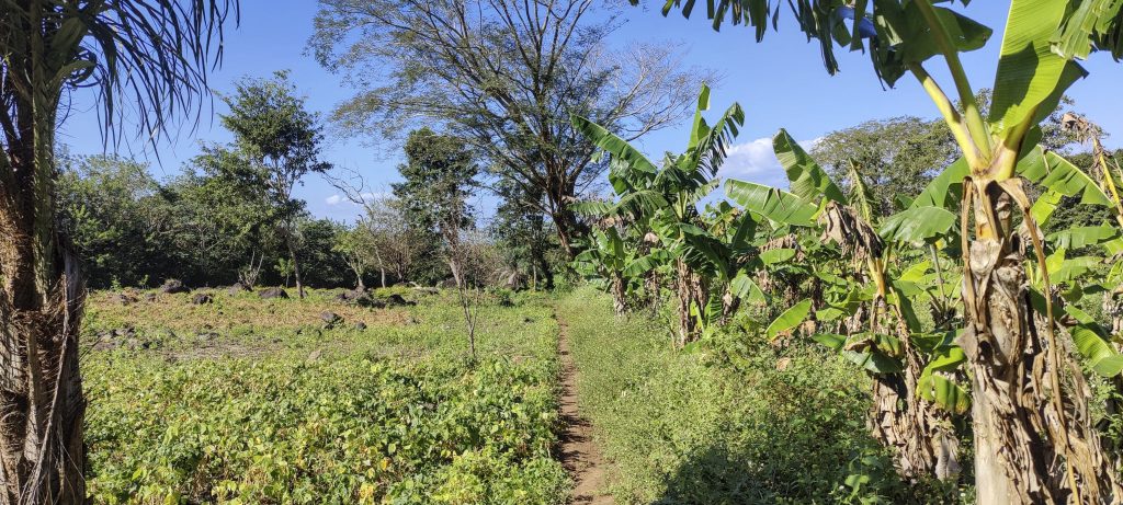
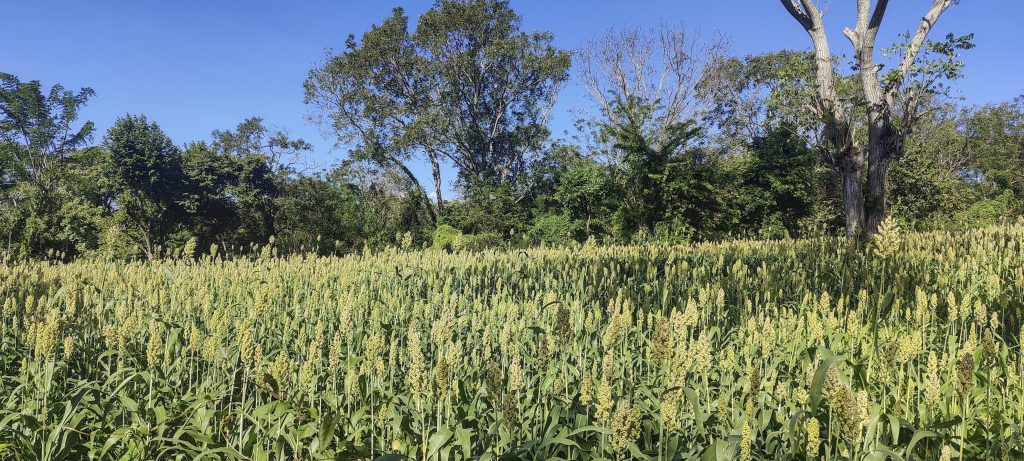
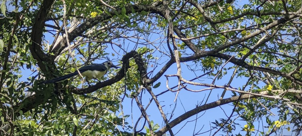
We leave the car in the car park, pay the parking fee of a few dollars and walk along the wide dirt road towards the foot of the mountain. We walk through cultivated fields accompanied by white-throated magpies.

Gradual trail at the beginning
Owl butterfly (Caligo martia)
Dry leaves
Orange peel fungus (Aleuria aurantia)

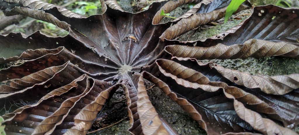
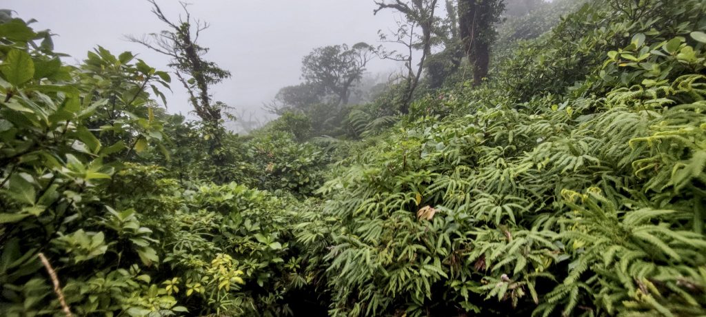
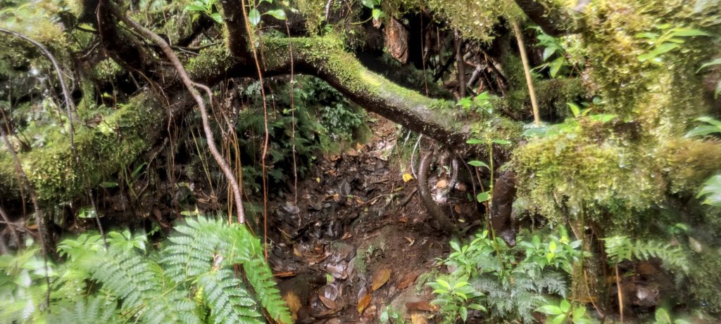
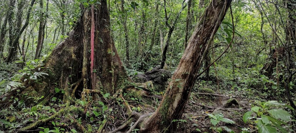
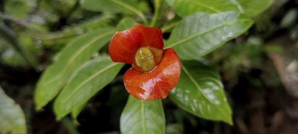
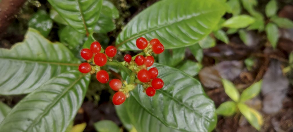
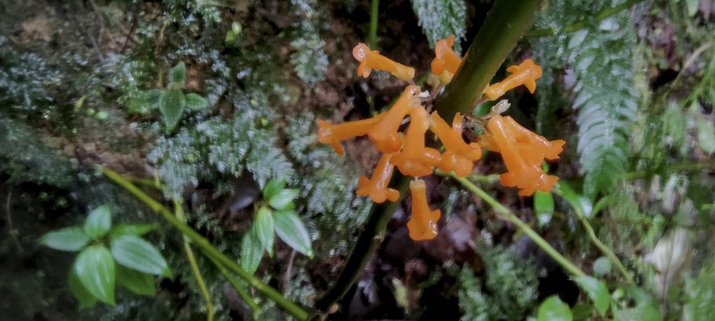
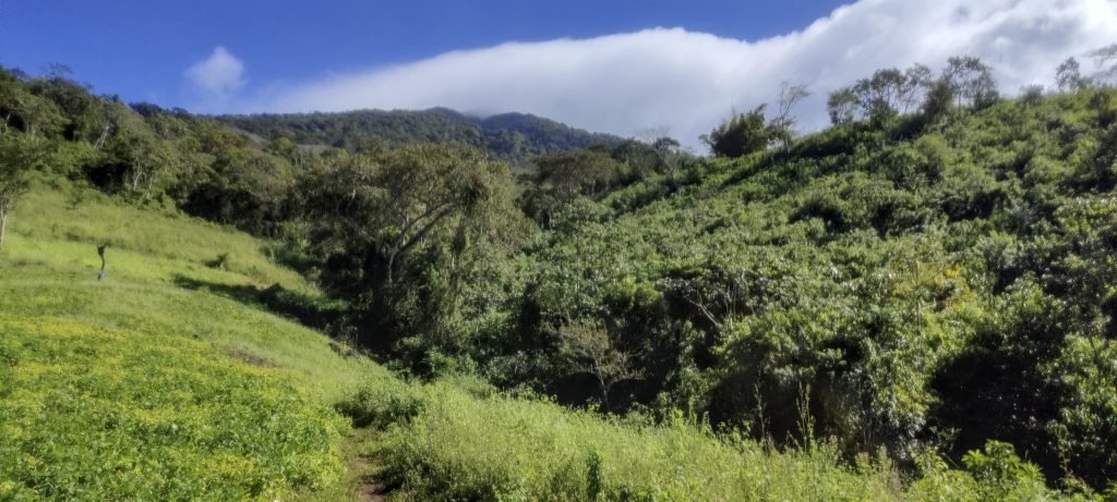
The steep path leads through the jungle, but it is not difficult. It gets a bit worse near the top when you have to cross the slope. Lots of mud and leaning trees. I missed one and scratched my head. There is a lot of blood, but I survive. Later, a bloody face sticking out of the bushes frightens a group of German tourists and I have to calm them down.

Shrubby path
From time to time I have to crawl on all fours

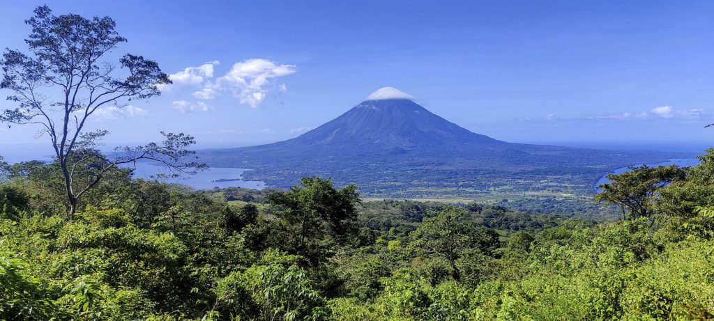
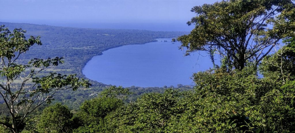
As is so often the case, the tourist viewpoint is several hundred metres from the actual summit. This time it is another 20 minutes along a difficult jungle trail. The summit itself is so inconspicuous that it is easy to walk past it, not realising until later that the trail is already descending. I bookmarked the highest point on my phone and hurried down to catch the ferry.

Red roots
Big trees
I don’t have a clue what it is ??
Girlfriend kiss (Palicourea elata)
Notopleura uliginosa
Besleria notabilis
Volcán Concepción barely clouds over today
Ensenada Santa Cruz
Looking back after the descent
Lower trail
Agricultural fields
White-throated magpie-jay (Calocitta formosa)

We descend quickly, with enough time for a shower and a local pizza. On the way back we have a ferry reservation, and it’s a good thing too, because at least ten of the staff ask us if we have one. We reach the mainland after dark and head for Managua, where we pick up our car in the morning and take a shuttle to Liberia in Costa Rica, where we’ll try to climb Volcán Miravalles the next day. Short detour to Volcán Masaya

Volcán Concepción from the small airport airstrip

Volcán Maderas1394 m altitude
1354 m prominence
15.01 km isolation
RangesCentral America Ranges - Central Central America
Countries/regionsNicaragua – Rivas
Distance7.80 km up7.80 km down
Elevation1232 m gain1232 m loss
Time
3h40 up
0h05 other
2h40 down
6h25 total
Trailhead161 m altitude11.4830830, -85.5368880
Difficulties<p>Last section of trail is overgrown with jungle</p>
LinksGPX trail
  • Central America 2023
  • « Volcán Concepción
  • Volcán Masaya »

Mountain Ranges

Anatolia
Central Anatolia
Pontic Mountains
Southeast Anatolia
Taurus Mountains
Western Anatolia
Andes
Puna de Atacama
Atlas Mountains
High Atlas
Northwestern Atlas
Central America Ranges
Costa Rica-Panama Ranges
Central Central America
East China
Taiwan
Eastern Europe Ranges
Southeast Baltic Plains
Iberian Peninsula
Cordillera Cantabrica
Castile Ranges
Portugal-Galicia
Pyrenees
Intermountain West
Great Basin Ranges
Korea-Amur Area
Taebaek Sanmae
Malay Archipelago
Java
Nusa Tengarra
Sulawesi
Sumatra
Mid-Atlantic Islands
North Atlantic Islands
Mongolia Ranges
Altai
Gobi Desert Ranges
Hangay Mountains
Northwest Europe
Great Britain
North France-West Rhine Area
Pacific Ranges
Cascade Range
Northwest U.S. Coast Ranges
Sierra Nevada
Central and Southern California Ranges
Philippines
Central Philippines
Luzon
Mindanao
Southeast Asia
Malay Peninsula
Southeast South America
Pampas
Sierras de Cordoba
Southern Africa
Malawi Highlands
West Africa Mountains
Bight of Benin
Cameroon Mountains
Guinea Highlands

Countries / regions

Algeria
Ain Guezzam
Ain Salah
Aïn Témouchent
El Bayadh
Ghardaïa
Oran
Ouargla
Saïda
Sidi Bel Abbès
Tamanrasset
Argentina
Catamarca
Ciudad Autónoma de Buenos Aires
Córdoba
Jujuy
Salta
Tucumán
Belgium
Brussels Capital Region
Flemish Region
Cameroon
Southwest
China
Taiwan
Costa Rica
Alajuela
Cartago
Guanacaste
Heredia
Limón
San José
Czechia
Prague
Denmark
Greenland
France
Hauts-de-France
Occitania
Germany
Berlin
Niedersachsen
Indonesia
Bali
Jambi
Jawa Tengah
Jawa Timur
Nusa Tenggara Barat
Sulawesi Tengah
Sulawesi Utara
Sumatera Barat
Lithuania
Vilnius County
Mongolia
Bayankhongor
Govi-Altai
Khovd
Omnogovi
Ovorkhangai
Ulan Bator
Zavkhan
Morocco
Béni Mellal-Khénifra
Drâa-Tafilalet
Fez-Meknes
Marrakesh-Safi
Souss-Massa
Tangier-Tetouan-Al Hoceima
Mozambique
Zambezia
Netherlands
Gelderland
Noord-Holland
Zeeland
Nicaragua
Chinandega
Managua
Masaya
Rivas
Philippines
Bicol Region (V)
Cagayan Valley (II)
Calabarzon (IV-A)
Central Luzon (III)
Cordillera Administrative Region
Davao Region
Metro Manila
Soccsksargen (XII)
Western Visayas (VI)
Poland
Greater Poland Voivodeship
Masovian Voivodeship
Portugal
Castelo Branco
Leiria
Lisbon
Madeira
Santarém
Qatar
Ad-Dawhah
São Tomé and Príncipe
São Tomé Province
Sierra Leone
Northern Province
Western Area
Singapore
South Korea
Gyeongsangnam-do
Seoul
Spain
Aragón
Asturias
Castilla-La Mancha
Castilla y León
Catalonia
Islas Canarias
Switzerland
Zürich
Turkey
Antalya
Bitlis
Erzincan
Hakkâri
Igdir
Isparta
Kahraman Maras
Muğla
United Kingdom
England
Scotland
United States
California
Delaware
Florida
Maryland
Nevada
New Jersey
New York
Pennsylvania
South Carolina
Utah

TRIPS

2024
Southern Africa 2024
Mid-Atlantic Islands 2024
North America 2024
Anatolia 2024
Korea-Amur Area 2024
East China 2024
2023
Mongolia Ranges 2023
Philippines 2023
West Africa III 2023
West Africa II 2023
Iberian Peninsula 2023
West Africa 2023
Central America 2023
2022
Andes 2022
Northwest Europe 2022
Malay Archipelago III 2022
Malay Archipelago II 2022
Anatolia Mountains 2022
Iberian Peninsula 2022
Atlas Mountains 2022
North France-West Rhine Area 2022

archaeology (3) climb (157) food (2) hike (155) p30 (17) p50 (4) p100 (24) p300 (12) p600 (17) p1000 (11) p1500 (76) ribu (10) sight (46) summary (16) trig (44) ultra (76)

1 591 km walked, 121 298 m climbed

©2025 p600.org | WordPress Theme by Superbthemes.com