Skip to content
Menu
p600.org
  • home
  • map
  • trips
  • about
p600.org

Volcán Miravalles

hike | 2023-01-11
2028 m altitude, 1528 m prominence, 99.01 km isolation

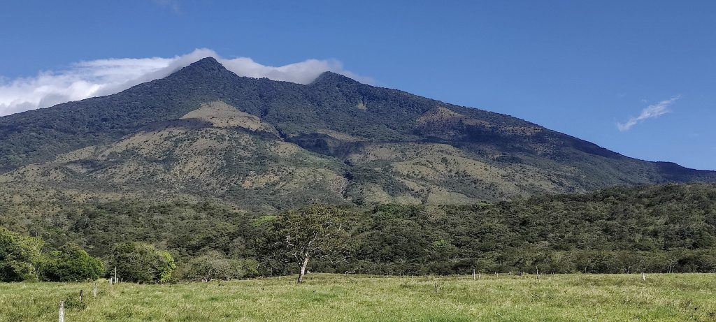
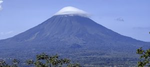
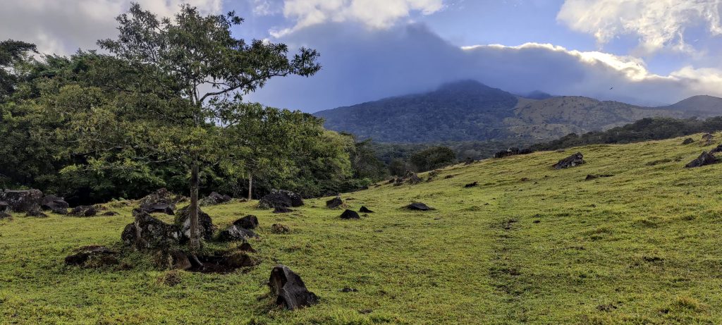
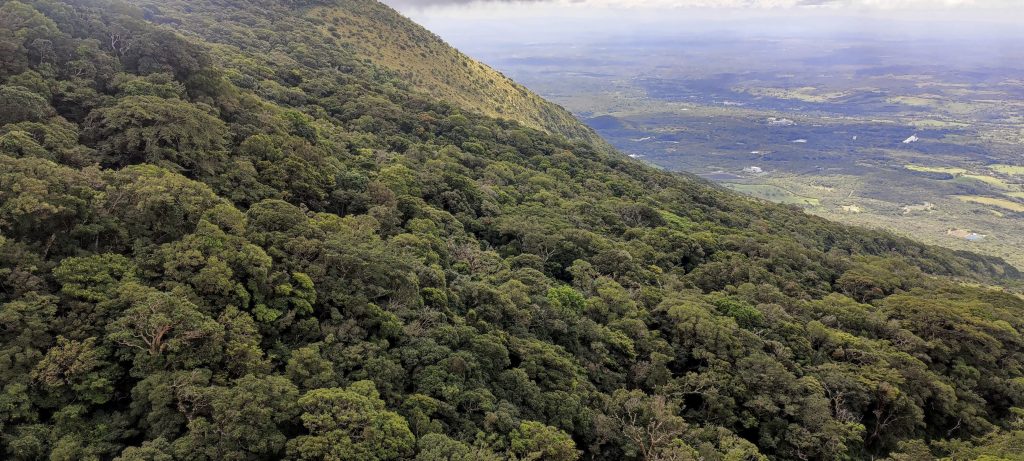
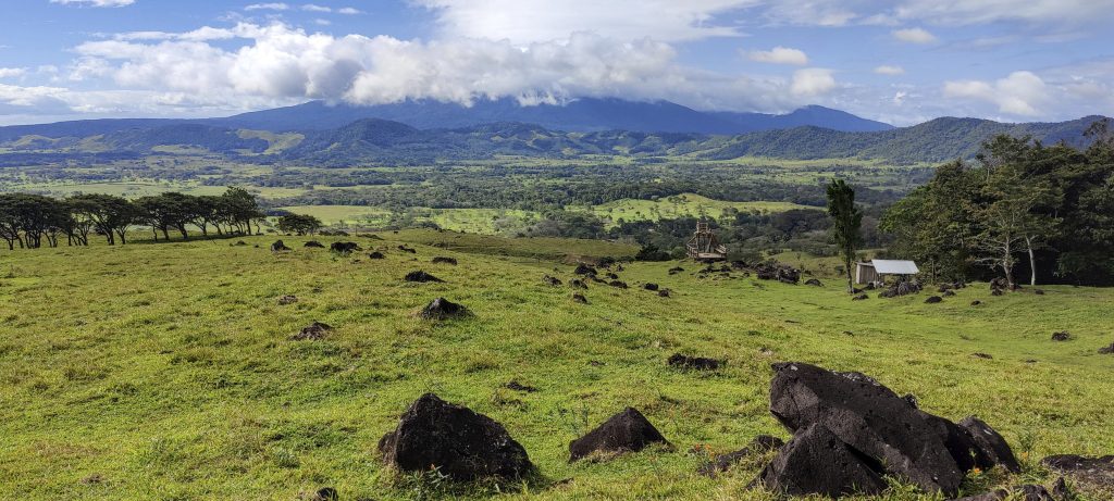
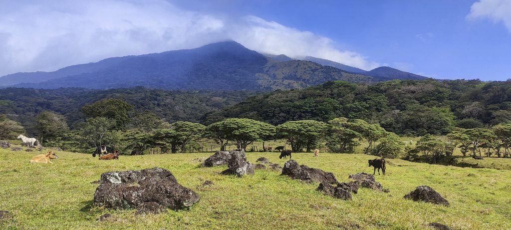
Volcán Miravalles is a stratovolcano located in the province of Guanacaste, Costa Rica. It is the highest peak in the Cordillera de Tilarán, rising to over 2,000 metres above sea level. The volcano powers several geothermal power plants at its base and offers hot springs for tourists.

Looking back at the rainbow
Start with an easy walk on gentle slopes

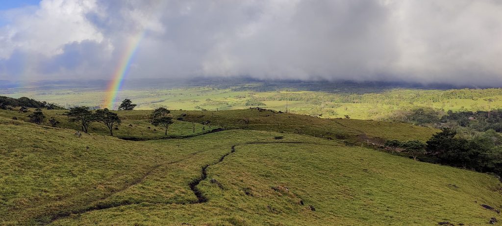
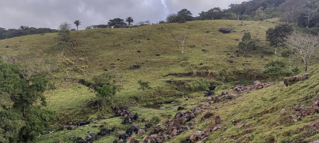
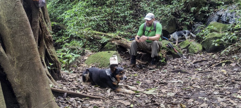
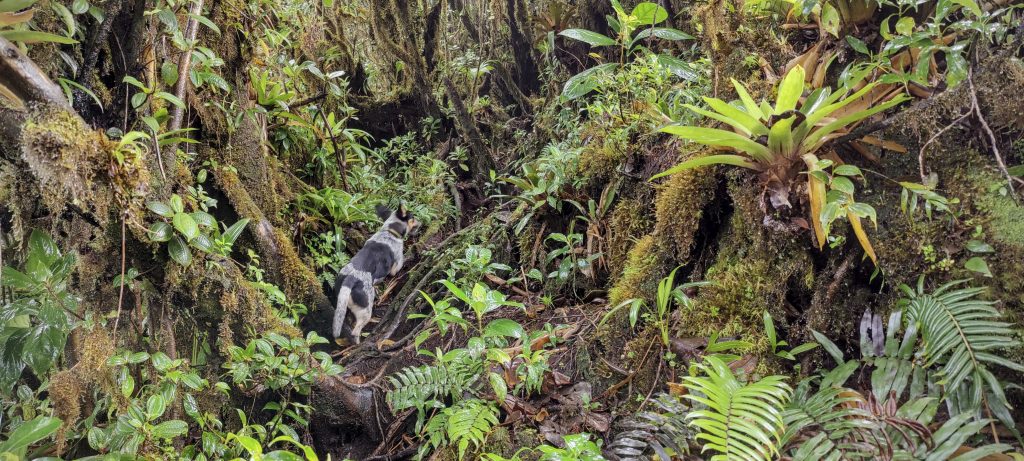
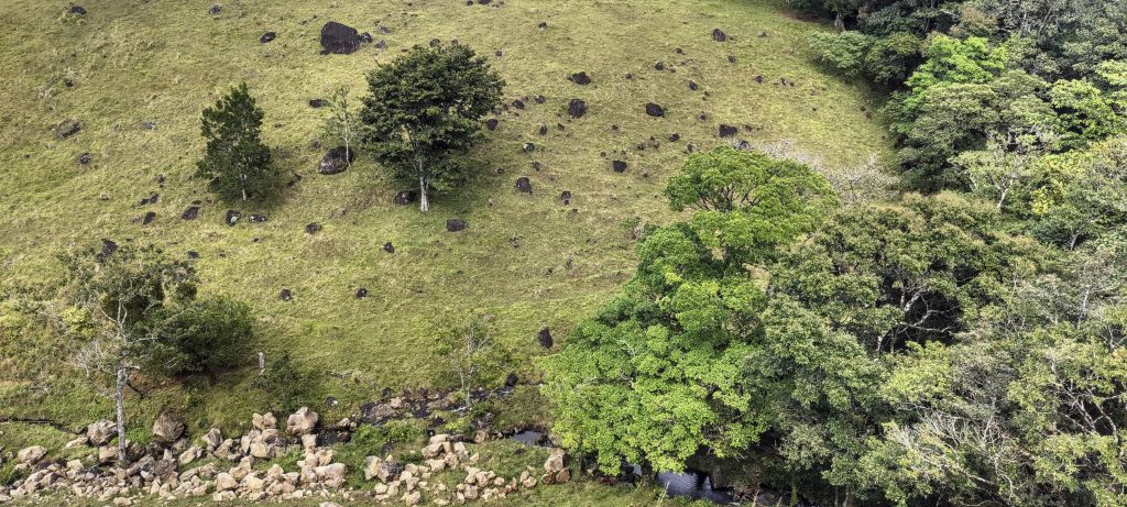
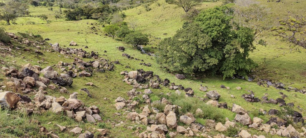
As usual we start early in the morning and meet Freddy at his house where the trailhead is located. He introduces us to his assistant Julian. We park the car, get changed and start climbing with Julian and his dogs leading the way. The first part of the climb is an easy walk across the pastures. Later we enter the jungle and continue climbing in the shade of the trees.

Quartette
Psychotria guapilensis? ?
Mushroom plate
Obviously it’s not Dave who needs a break, it’s the dog
Tarzan.. i mean Julian
Looking down, hot springs (right)

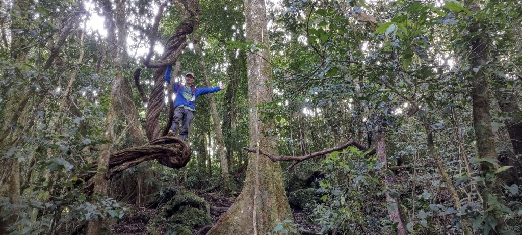
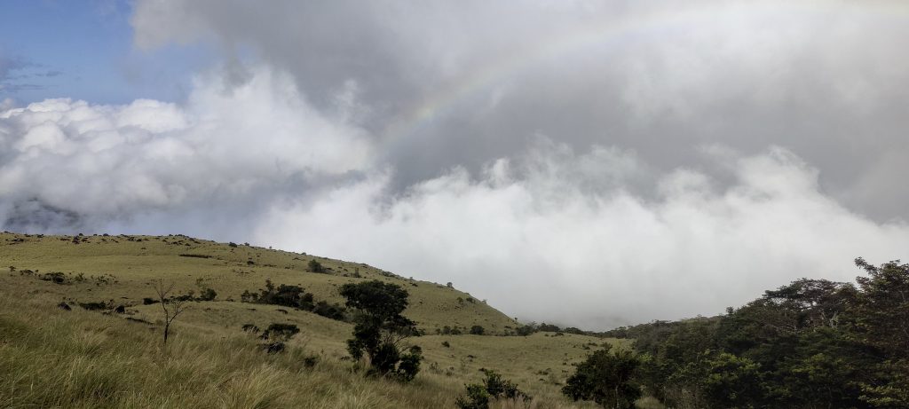
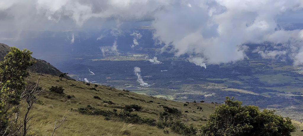
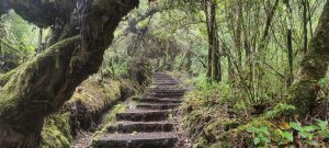
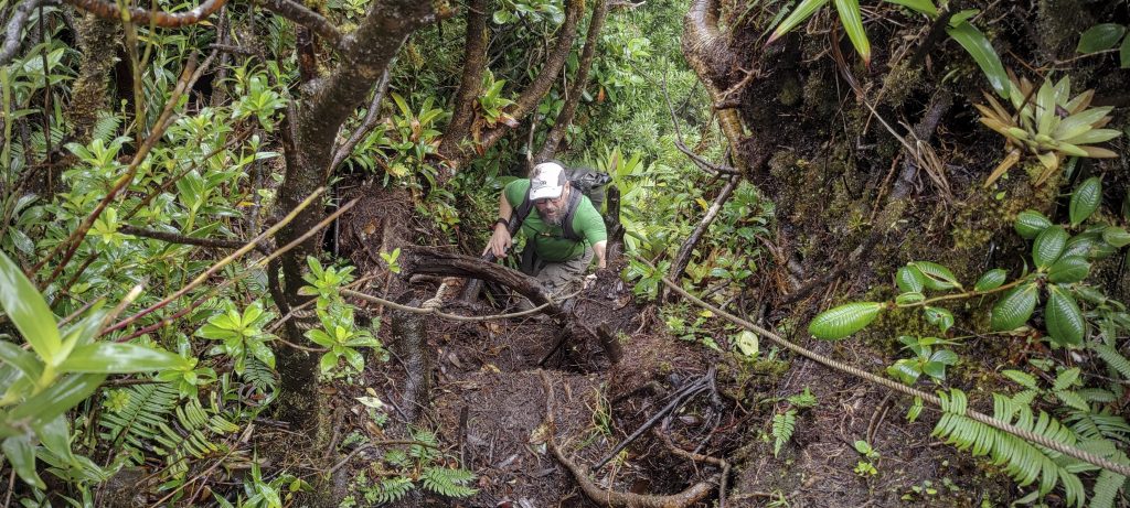
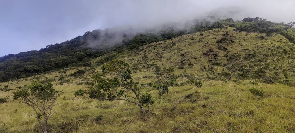
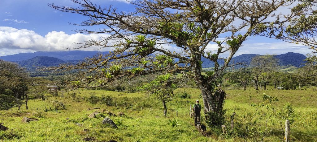
After a few hundred vertical metres we are back on the open slopes. Beautiful views and much easier to climb with a breeze. Soon we reach the popular summit on the rim. This is where most of the tourists go and stop. But we know that our summit is still ahead of us. Forty minutes of difficult jungle trail separates us from the real summit. After a short break we continue.

Views from the popular summit
Dave (left) and I on the false summit
Psychotria guapilensis? ?
??
Water all over the place, even on the plants
Jungle trail
Close to the real summit
Dave (left) and I on the real summit

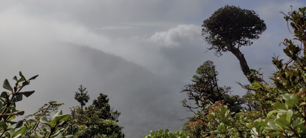
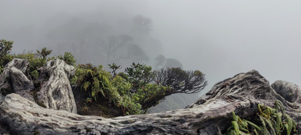
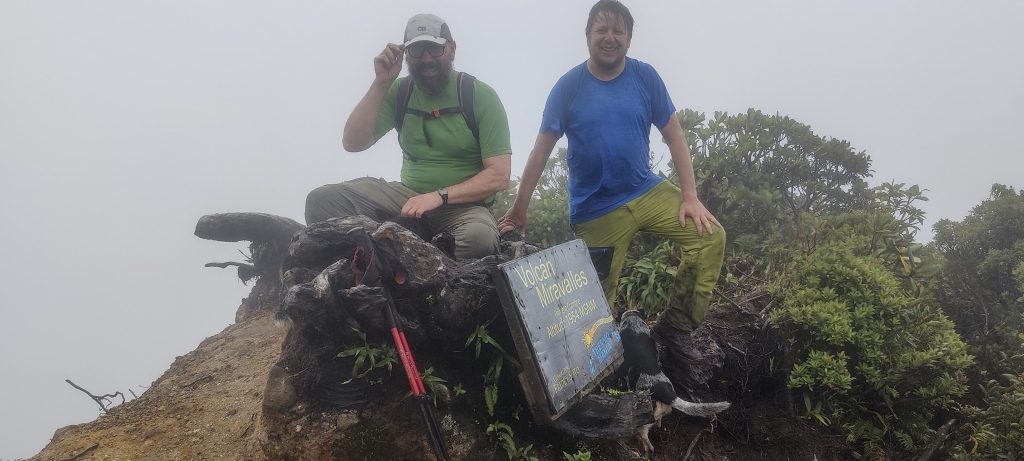
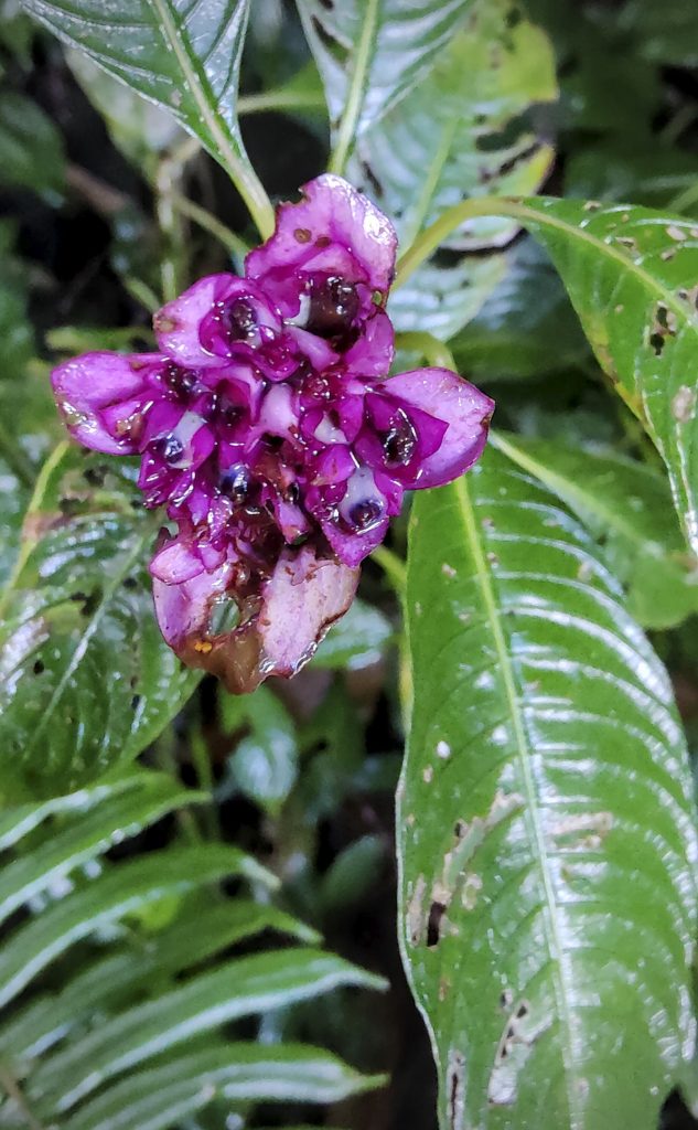
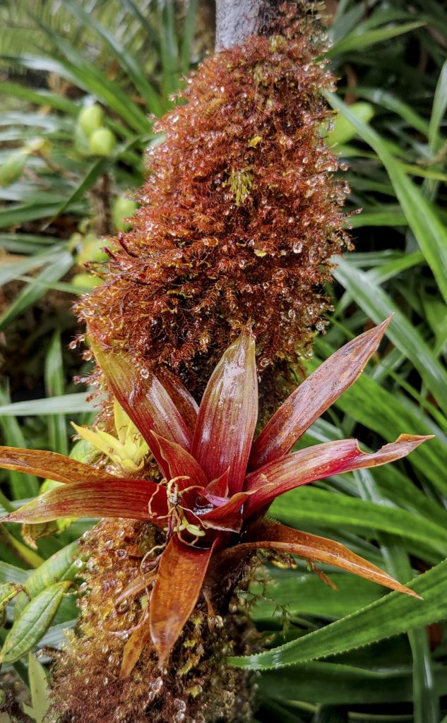
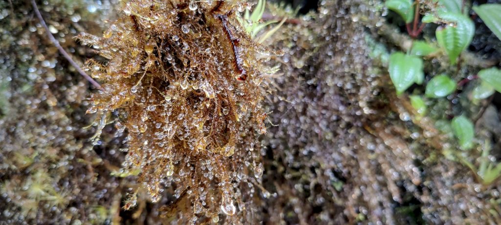
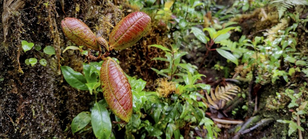
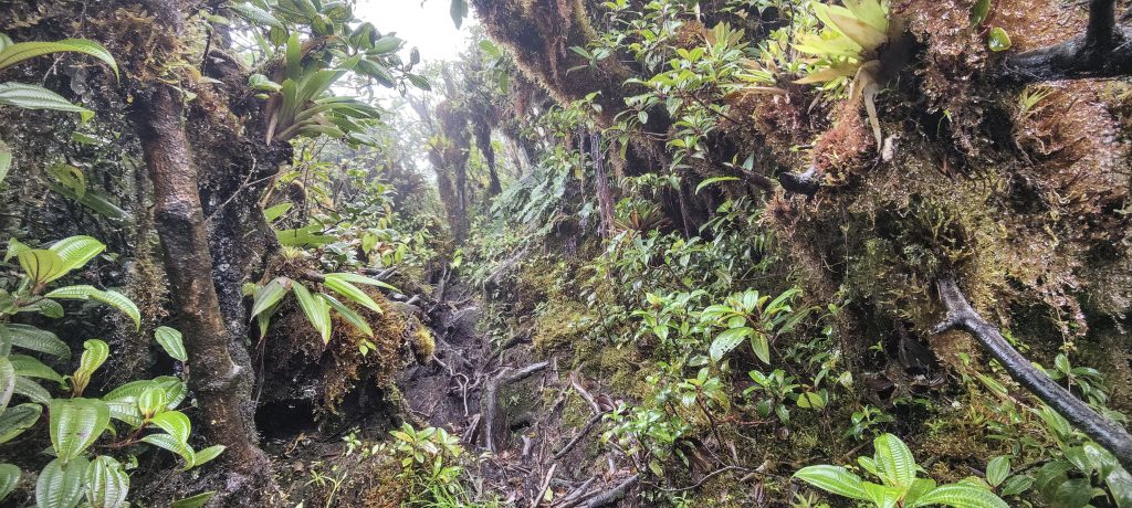
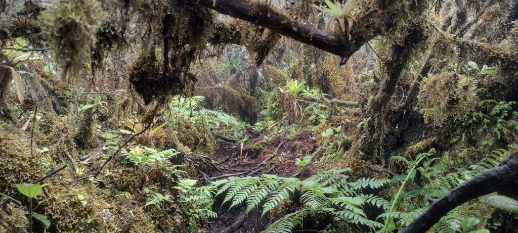
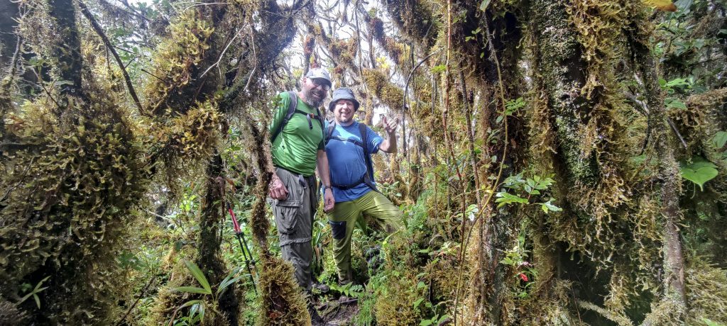
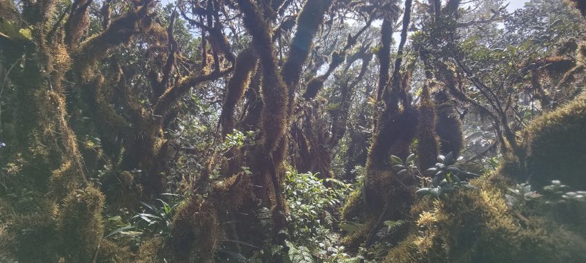
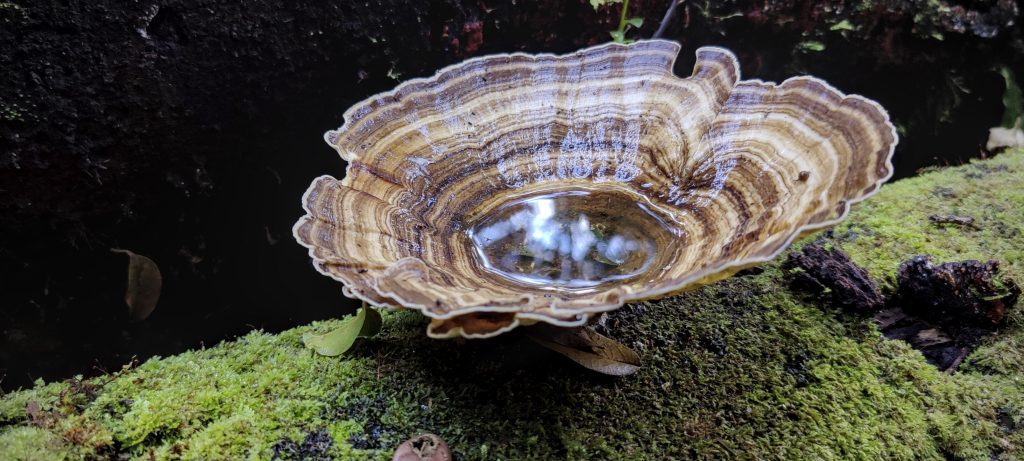
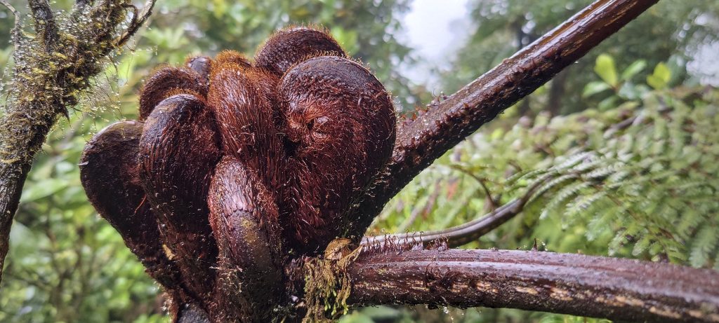
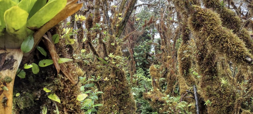
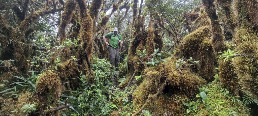
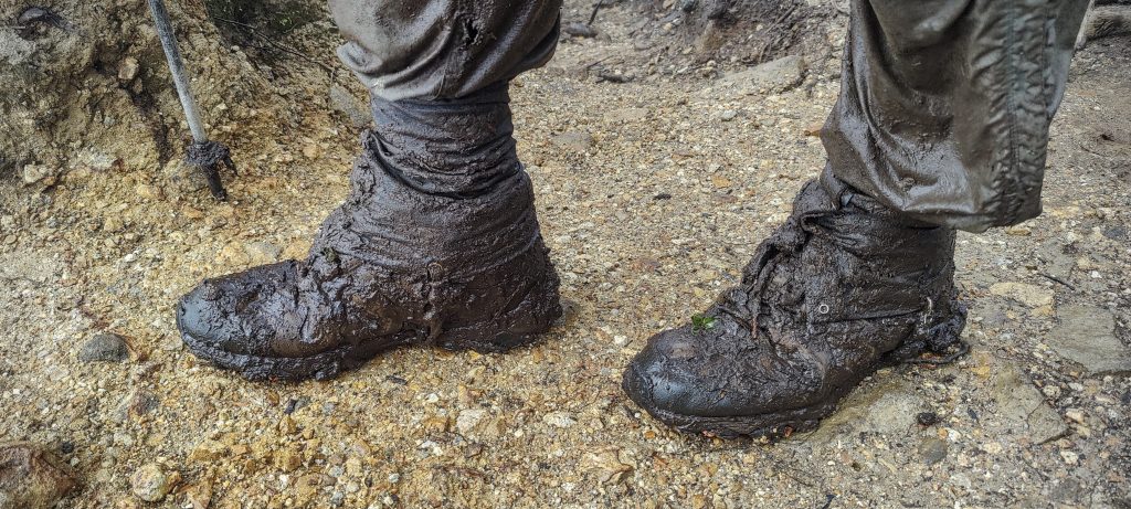
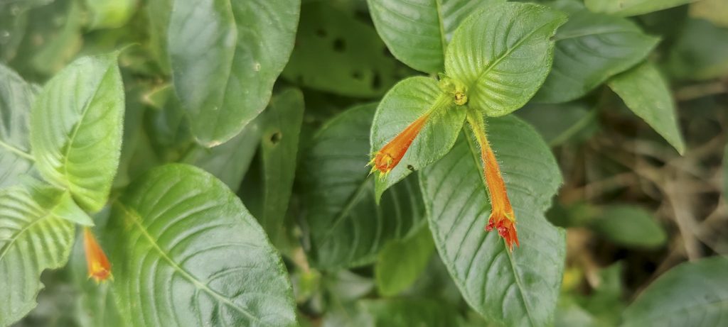
Small but steep descent, muddy path with fallen trees. This is what I would call a jungle trail, a nice experience. The real summit is not marked and is difficult to identify, only after walking a bit further do you realise you are already descending. It is very wet, all the plants are soaked and we are surrounded by a beautiful mossy jungle. A quick stop, a few photos and we head back.

Fern
At the top the jungle is quite dense and mossy
Dave climbing a steeper section
Me walking the last stretch to the summit
A little dirt
Coral snake (Micrurus fulvius ??)

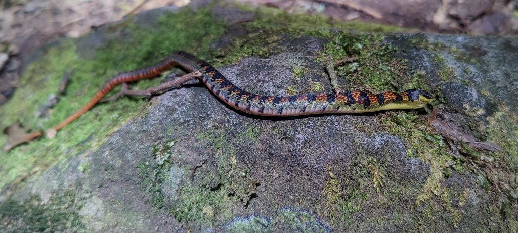
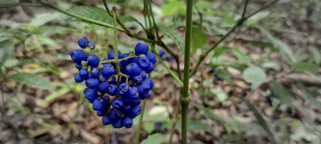
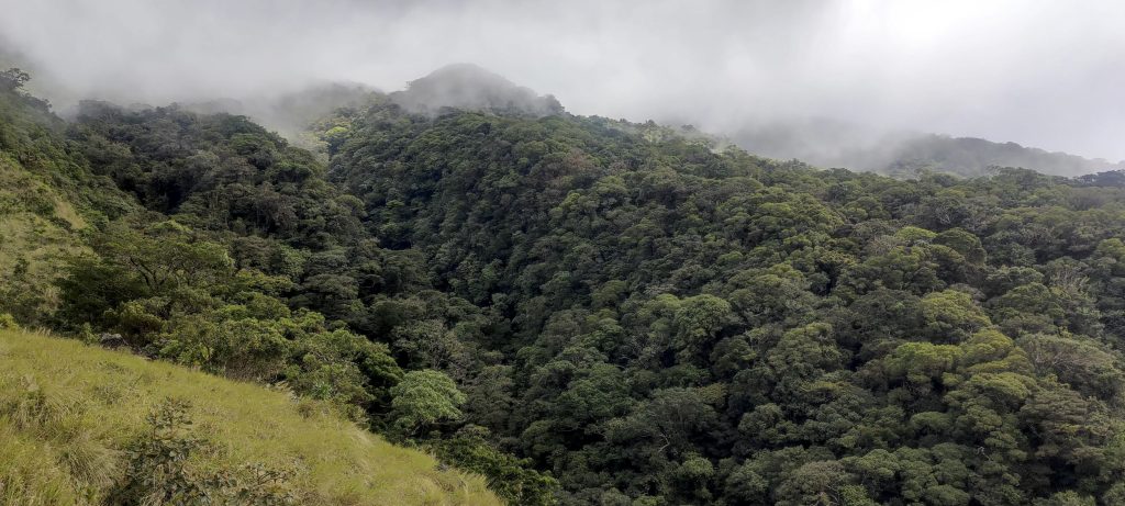
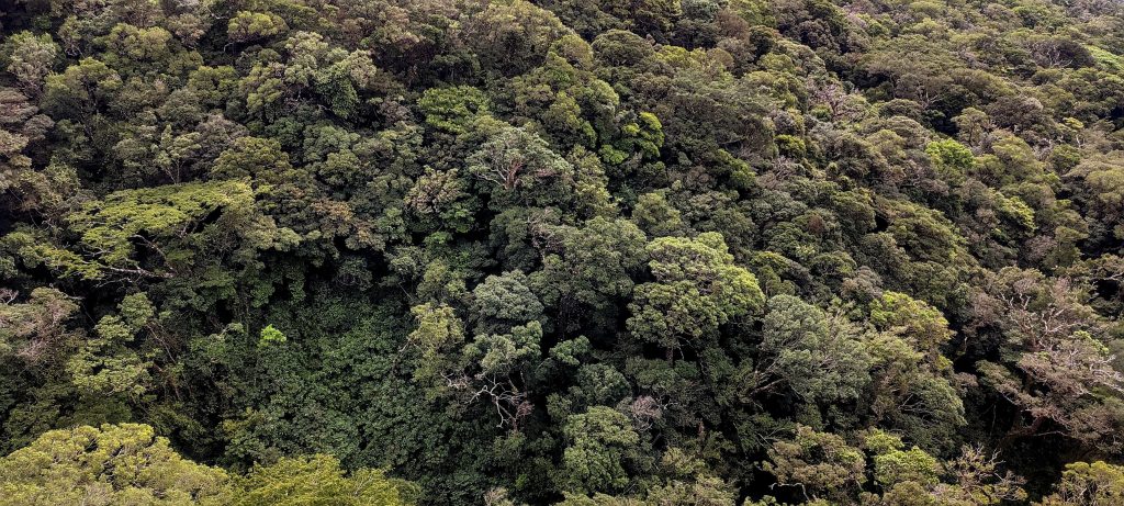
Various berries, monkeys and a coral snake make the descent less boring. Julian also offers a short detour into the canyon and it is worth it, we get a view of the dense forest canopy, everything looks very impressive. A family of monkeys raised an alarm when they saw us approaching. They were wrong, we came in peace.

We descended from the cloud
Beautiful forest canopy
Looking down towards the hot springs (right)
Alarm, three men and two dogs. Alarm..
Cuphea appendiculata
In some places Freddy has installed LED lights with solar panels. Hi-tech trail.
Santa Maria volcano in the background
Looking back towards Volcán Miravalles, we climbed the right side ridge
Pastures near the trailhead
Approaching Freddy farm

Back at Freddy’s house, he offers us a shower. What a good offer, and soon we are heading towards Volcán Barva, we will try to reach the real summit tomorrow.

Volcán Miravalles from the road

Volcán Miravalles 2028 m altitude
1528 m prominence
99.01 km isolation
Ranges Central America Ranges - Costa Rica-Panama Ranges
Countries/regions Costa Rica - Alajuela
Costa Rica - Guanacaste
Distance 6.70 km up 6.70 km down
Elevation 1491 m gain 1491 m loss
Time
3h55 up
0h05 other
3h30 down
7h30 total
Trailhead 636 m altitude 10.7558050, -85.1928330
Difficulties

Last section of path to summit is overgrown

Links GPX trail
  • Central America 2023
  • « Nicaragua
  • Volcán Barva »

Mountain Ranges

Anatolia
Taurus Mountains
Western Anatolia
Andes
Puna de Atacama
Atlas Mountains
High Atlas
Northwestern Atlas
Central America Ranges
Costa Rica-Panama Ranges
Central Central America
Eastern Europe Ranges
Southeast Baltic Plains
Iberian Peninsula
Cordillera Cantabrica
Castile Ranges
Portugal-Galicia
Pyrenees
Malay Archipelago
Java
Nusa Tengarra
Sulawesi
Sumatra
Northwest Europe
Great Britain
North France-West Rhine Area
Southeast South America
Pampas
Sierras de Cordoba
West Africa Mountains
Bight of Benin
Cameroon Mountains

Countries / regions

Algeria
Ain Guezzam
Ain Salah
Aïn Témouchent
El Bayadh
Ghardaïa
Oran
Ouargla
Saïda
Sidi Bel Abbès
Tamanrasset
Argentina
Catamarca
Ciudad Autónoma de Buenos Aires
Córdoba
Jujuy
Salta
Tucumán
Belgium
Brussels Capital Region
Flemish Region
Cameroon
Southwest
Costa Rica
Alajuela
Cartago
Guanacaste
Heredia
Limón
San José
Czechia
Prague
Denmark
Greenland
France
Hauts-de-France
Germany
Berlin
Niedersachsen
Indonesia
Bali
Jambi
Jawa Tengah
Jawa Timur
Nusa Tenggara Barat
Sulawesi Tengah
Sulawesi Utara
Sumatera Barat
Lithuania
Vilnius County
Morocco
Béni Mellal-Khénifra
Drâa-Tafilalet
Fez-Meknes
Marrakesh-Safi
Souss-Massa
Tangier-Tetouan-Al Hoceima
Netherlands
Gelderland
Noord-Holland
Zeeland
Nicaragua
Chinandega
Managua
Masaya
Rivas
Poland
Greater Poland Voivodeship
Masovian Voivodeship
Portugal
Castelo Branco
Leiria
Lisbon
Santarém
São Tomé and Príncipe
São Tomé Province
Spain
Aragón
Asturias
Castilla-La Mancha
Castilla y León
Switzerland
Zürich
Turkey
Antalya
Isparta
Muğla
United Kingdom
England
Scotland
United States
Delaware
Florida
Maryland
New Jersey
New York
South Carolina
Pennsylvania

TRIPS

2023
West Africa II 2023
Iberian Peninsula 2023
West Africa 2023
Central America 2023
2022
Andes 2022
Northwest Europe 2022
Malay Archipelago III 2022
Malay Archipelago II 2022
Anatolia Mountains 2022
Iberian Peninsula 2022
Atlas Mountains 2022
North France-West Rhine Area 2022

archaeology (3) climb (72) food (2) hike (71) p30 (6) p100 (9) p300 (8) p600 (13) p1000 (5) p1500 (34) ribu (4) sight (35) summary (11) ultra (34)

843 km walked, 65 330 m climbed

©2023 p600.org | WordPress Theme by Superbthemes.com