Skip to content
Menu
p600.org
  • home
  • map
  • trips
  • about
p600.org

Volcán Barva

hike | 2023-01-12
2906 m altitude, 1406 m prominence, 28.38 km isolation

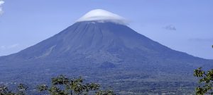
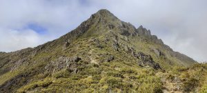
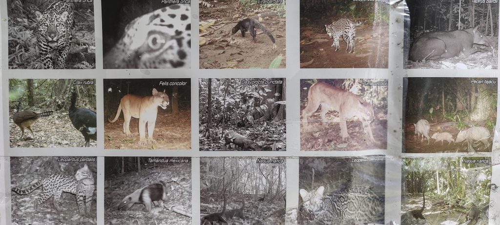
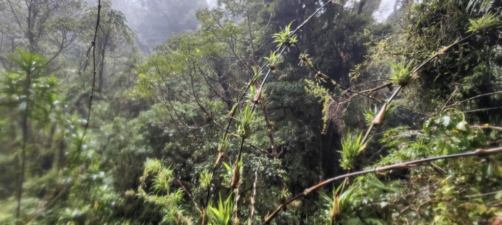
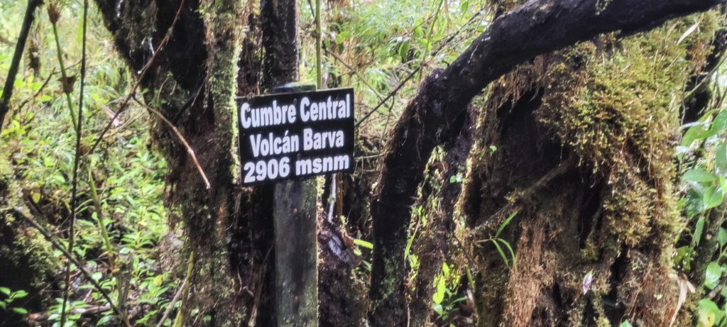
Volcán Barva is an impressive inactive stratovolcano in the Central Valley region of Costa Rica. Located about 30 kilometres northeast of the city of San José, it is the highest peak in the Heredia region and the Braulio Carrillo National Park. The volcano’s summit is covered in lush vegetation and is home to a variety of wildlife including howler monkeys, toucans and sloths, the Pristimantis altae frog and the poisonous Bushmaster snake. Our main interest is a real summit, less than a kilometre from the tourist viewpoint.

Park entrance
Interesting fauna

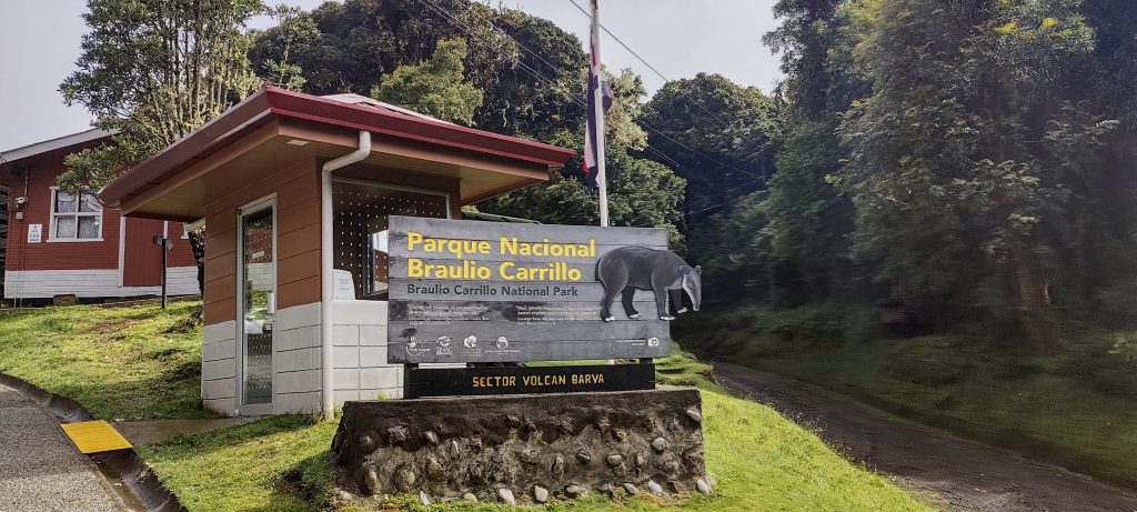
We try to drive our rental car up to the entrance of the park, but unfortunately the road is quite rocky and requires a high clearance vehicle. We decide to park the car a few kilometres from the entrance and walk instead. At the entrance the ranger checks our tickets and kindly asks us to use hand sanitiser before entering. Perhaps this remote area hasn’t heard that covid is now a thing of the past… So we happily comply and enter the park.

At the beginning wide trail, more like a road
Crater lake in the mist

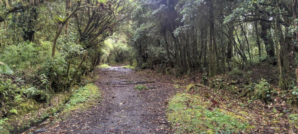
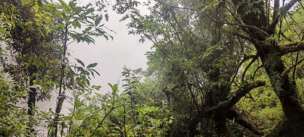
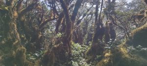
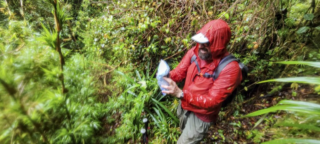
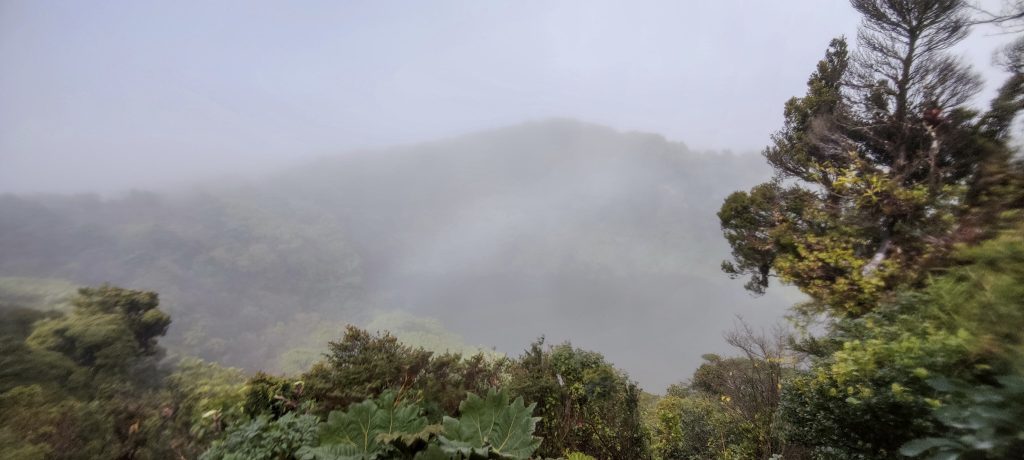
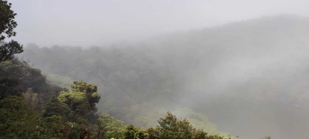
Getting to the crater lake viewpoint was as easy as walking through the city park. The trek from there, just over a kilometre, was dense jungle with no established trail, but the first part was no challenge as it was just thick forest. Once we reached the large ravine with its small stream, we had to bushwhack and find a way up. Despite having to navigate through fallen trees, bushes, bamboo, grass and plants on all sides made slippery by the moisture in the air, our efforts were rewarded when we finally reached the summit.

Dave navigates with a phone in a plastic bag
This is what the “path” ahead looks like

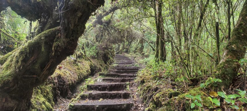
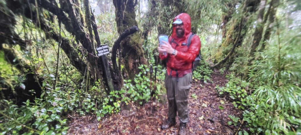
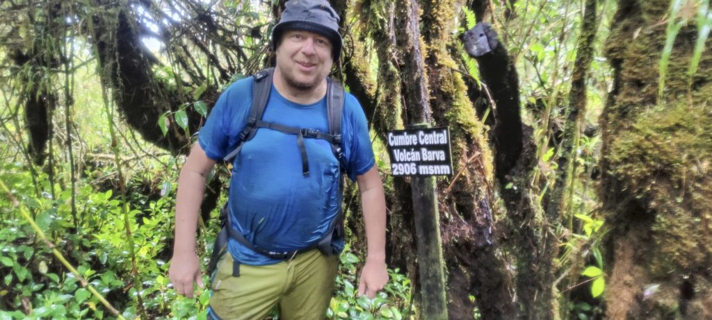
To our delight, we found a plaque on the summit with the correct name. Previous reports had mentioned the plaque to have wrong name. We were relieved to have reached the summit, knowing that it would not be no worse than climbing it. Our descent was also made easier by the discovery of a trail which, although difficult to see, was much easier and quicker to follow than the bushwhack on the way up.

Dave and I on the real summit
Summit plaque
Cloudy and low visibility
Caribbean-Pacific drainage divide

Volcán Barva was the last peak that Dave and I wanted to climb together on this trip. After this trek we will drive to San José. Dave will go to Volcán Irazu and I will go to Cerro Chirripó.


Volcán Barva 2906 m altitude
1406 m prominence
28.38 km isolation
Ranges Central America Ranges - Costa Rica-Panama Ranges
Countries/regions Costa Rica – Heredia
Distance 6.30 km up 6.30 km down
Elevation 316 m gain 316 m loss
Time
2h35 up
0h05 other
1h50 down
4h30 total
Trailhead 2588 m altitude 10.1251940, -84.1256110
Difficulties

Serious bushwhacking last kilometer to the real summit

Links GPX trail
  • Central America 2023
  • « Volcán Miravalles
  • Cerro Chirripó »

Mountain Ranges

Anatolia
Taurus Mountains
Western Anatolia
Andes
Puna de Atacama
Atlas Mountains
High Atlas
Northwestern Atlas
Central America Ranges
Costa Rica-Panama Ranges
Central Central America
Eastern Europe Ranges
Southeast Baltic Plains
Iberian Peninsula
Cordillera Cantabrica
Castile Ranges
Portugal-Galicia
Pyrenees
Malay Archipelago
Java
Nusa Tengarra
Sulawesi
Sumatra
Northwest Europe
Great Britain
North France-West Rhine Area
Southeast South America
Pampas
Sierras de Cordoba
West Africa Mountains
Bight of Benin
Cameroon Mountains

Countries / regions

Algeria
Ain Guezzam
Ain Salah
Aïn Témouchent
El Bayadh
Ghardaïa
Oran
Ouargla
Saïda
Sidi Bel Abbès
Tamanrasset
Argentina
Catamarca
Ciudad Autónoma de Buenos Aires
Córdoba
Jujuy
Salta
Tucumán
Belgium
Flemish Region
Brussels Capital Region
Cameroon
Southwest
Costa Rica
Alajuela
Cartago
Guanacaste
Heredia
Limón
San José
Czechia
Prague
Denmark
Greenland
France
Hauts-de-France
Germany
Berlin
Niedersachsen
Indonesia
Bali
Jambi
Jawa Tengah
Jawa Timur
Nusa Tenggara Barat
Sulawesi Tengah
Sulawesi Utara
Sumatera Barat
Lithuania
Vilnius County
Morocco
Béni Mellal-Khénifra
Drâa-Tafilalet
Fez-Meknes
Marrakesh-Safi
Souss-Massa
Tangier-Tetouan-Al Hoceima
Netherlands
Gelderland
Noord-Holland
Nicaragua
Chinandega
Managua
Masaya
Rivas
Poland
Greater Poland Voivodeship
Masovian Voivodeship
Portugal
Castelo Branco
Leiria
Lisbon
Santarém
São Tomé and Príncipe
São Tomé Province
Spain
Aragón
Asturias
Castilla-La Mancha
Castilla y León
Switzerland
Zürich
Turkey
Antalya
Isparta
Muğla
United Kingdom
England
Scotland
United States
Delaware
Florida
Georgia
Maryland
New Jersey
New York
North Carolina
South Carolina
Pennsylvania
Virginia

TRIPS

2023
West Africa 2023 II
Iberian Peninsula 2023
West Africa 2023
Central America 2023
2022
Andes 2022
Northwest Europe 2022
Malay Archipelago III 2022
Malay Archipelago II 2022
Anatolia Mountains 2022
Iberian Peninsula 2022
Atlas Mountains 2022

archaeology (3) climb (69) food (2) hike (68) p30 (3) p100 (9) p300 (8) p600 (13) p1000 (5) p1500 (34) ribu (4) sight (34) summary (11) ultra (34)

839 km walked, 65 247 m climbed

©2023 p600.org | WordPress Theme by Superbthemes.com