Skip to content
Menu
p600.org
  • home
  • map
  • trips
  • about
p600.org

Volcán San Cristóbal

hike | 2023-01-06

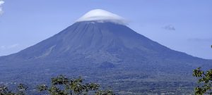
This is my first introduction to the world of Nicaragua’s smoking volcanoes. First impressions are important and these are great. One of Nicaragua’s two ultra mountains is Volcán San Cristóbal, an active stratovolcano with a bush-covered base and a half kilometre high volcanic sand slope. Today we’ll have a great opportunity to get our legs in shape.

Finca road

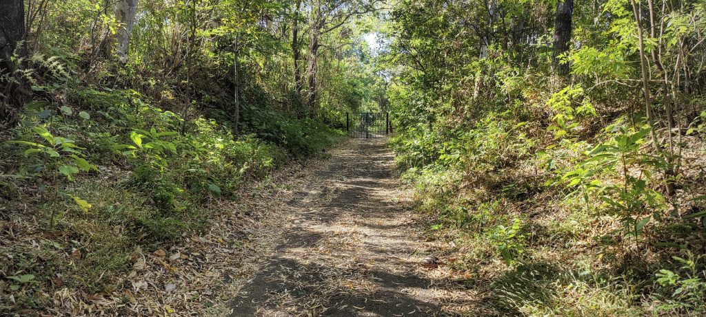
Early in the morning, we try to reach the farm on a narrow dirt road. But the road is sandy, and there is a high risk of getting stuck for a long time. We leave the car in the bush and walk. After about a kilometer, we meet a finca farmer, who is genuinely surprised that we have no car and tells us that the fee is 5 USD per person. We pay, and we move on.

Not much to look at to start with
First summit glimpse
Nearby peaks

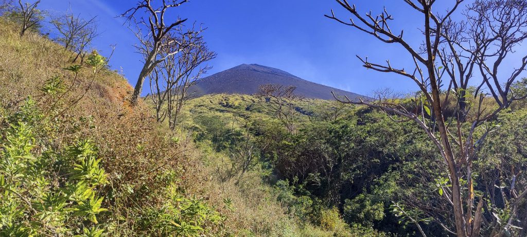
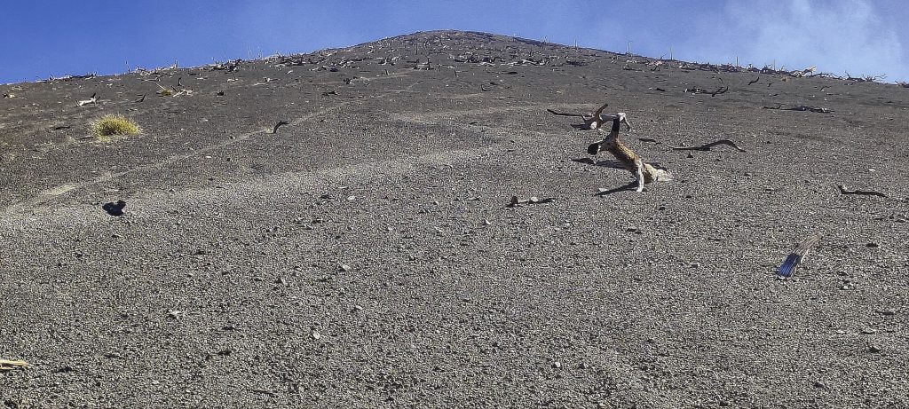
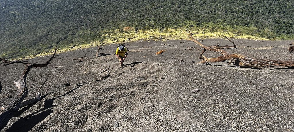
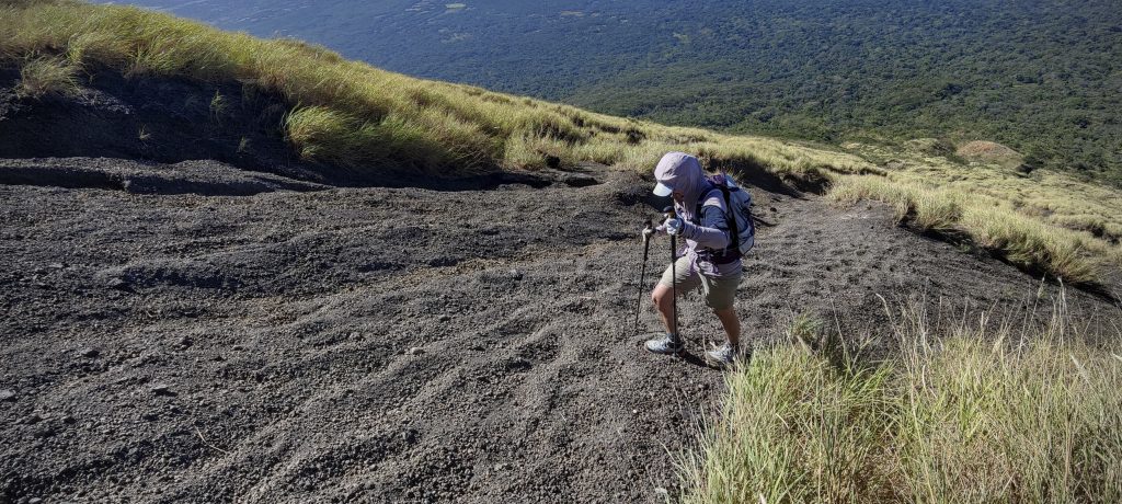
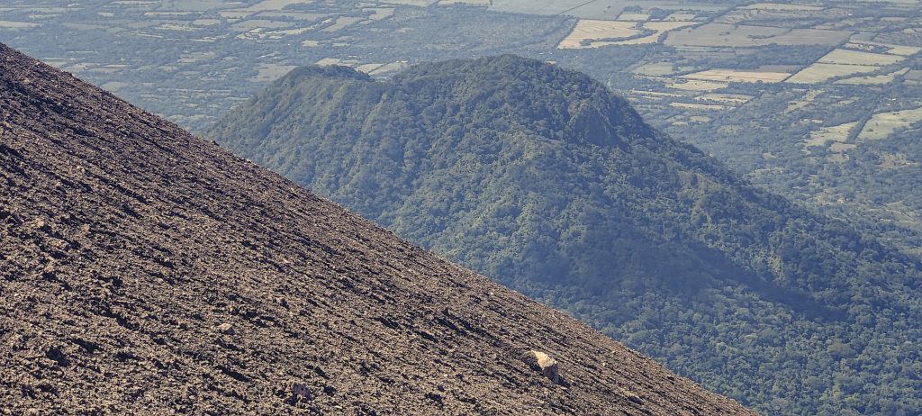
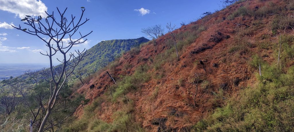
The path is through the bush and then up a steeper slope, but it is easy in comparison to what it will be like later. Soon we reach a slope of black volcanic sand. Two steps forward, one step back. A light breeze is comforting, as is the thought of how easy and good it will be to climb back down.

Hmm. nice perspective, about half of a vertical kilometre of volcanic ash
Throughout the walk very similar views
The calculation based on this photo gives me a slope of – 33.855°
The zone of dead trees is probably the result of a recent (in geological terms) eruption

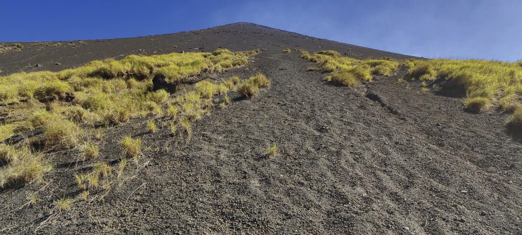
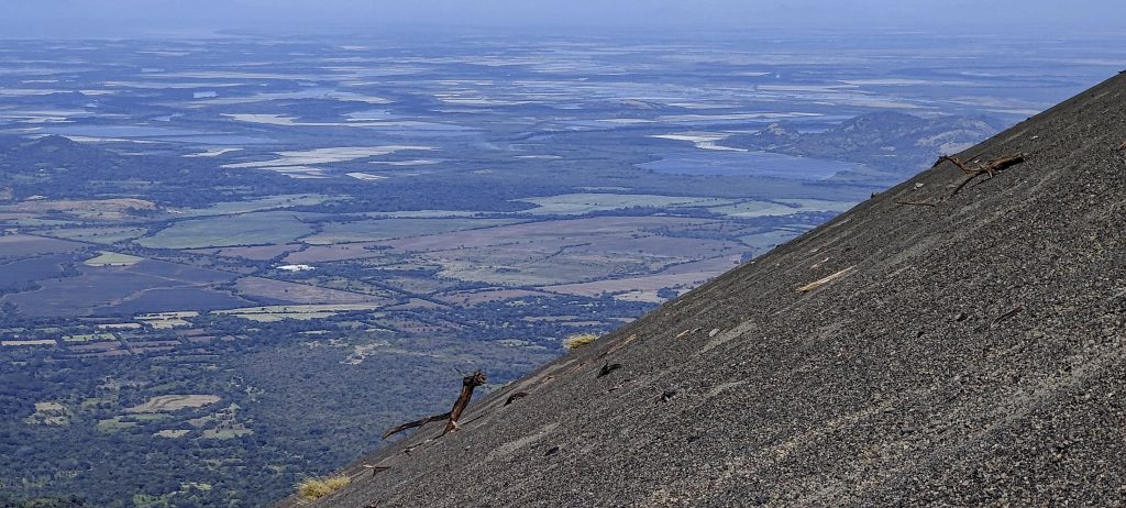
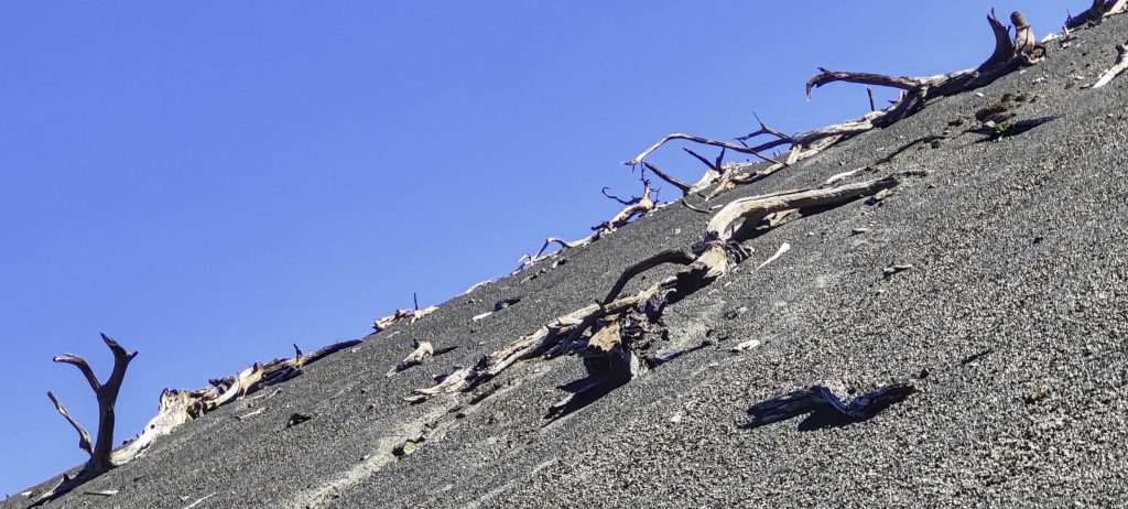
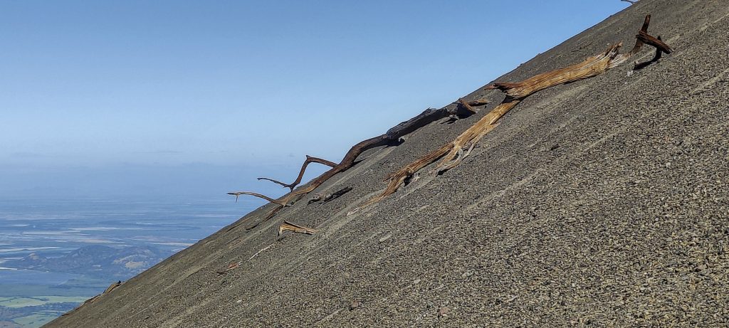
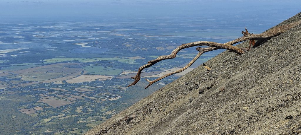
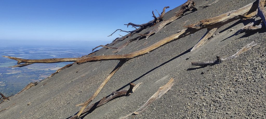
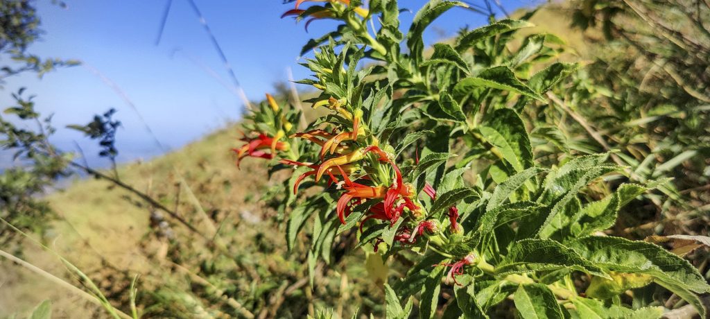
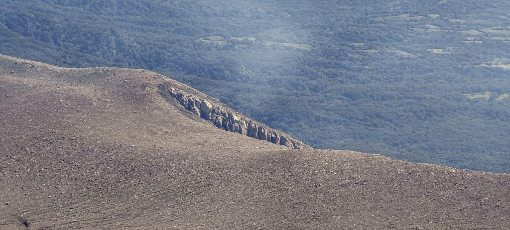
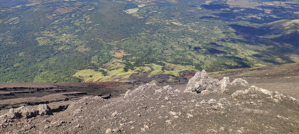
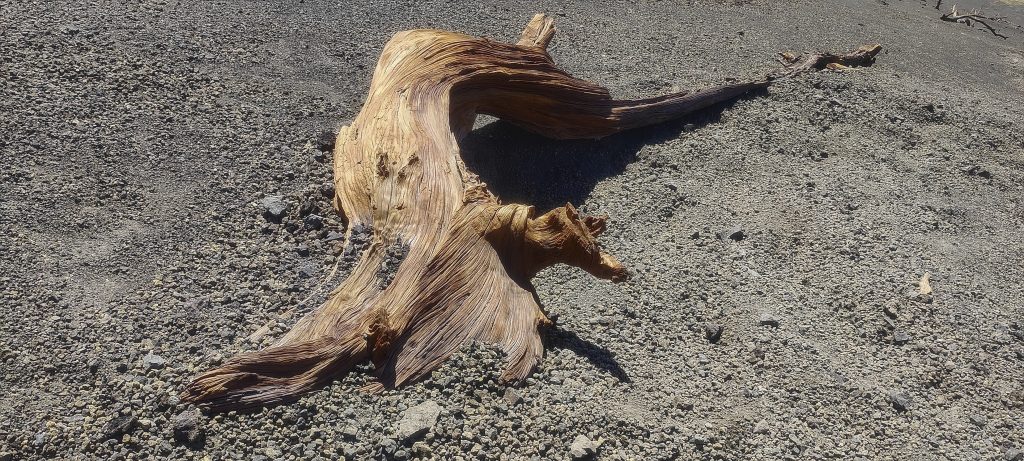
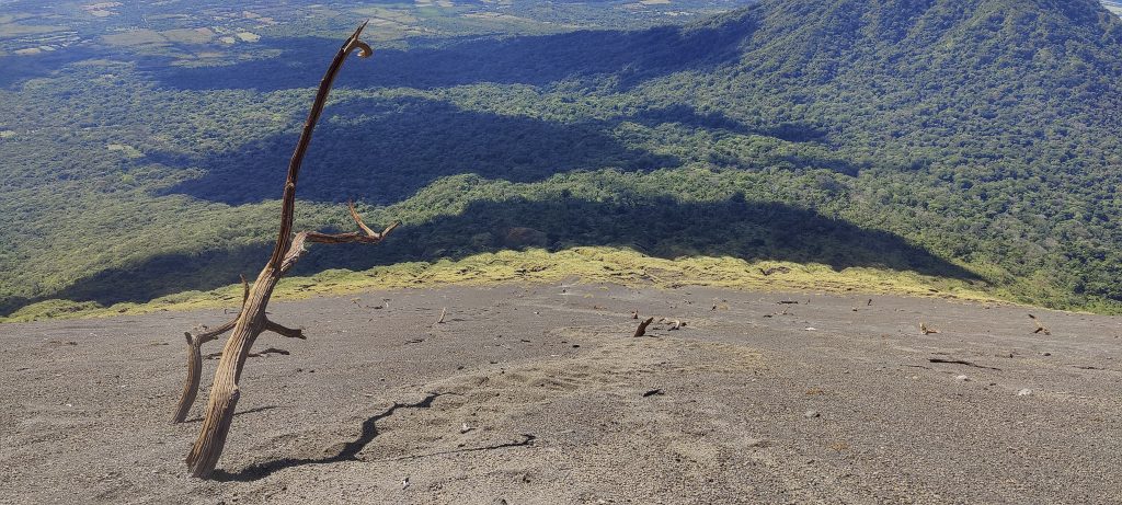
Steep slope, it would be interesting to have a comparison with other stratovolcanoes. Do they have the same steepness? In some places there are dead trees sticking out of the ash, apparently there was a forest here not so long ago (in geological terms). The vegetation was forced to retreat during one of the eruptions.

Slalom to the summit
(photo by Renee)
Two steps up, one down, two up, one down..
Midway stop
Getting closer to the top

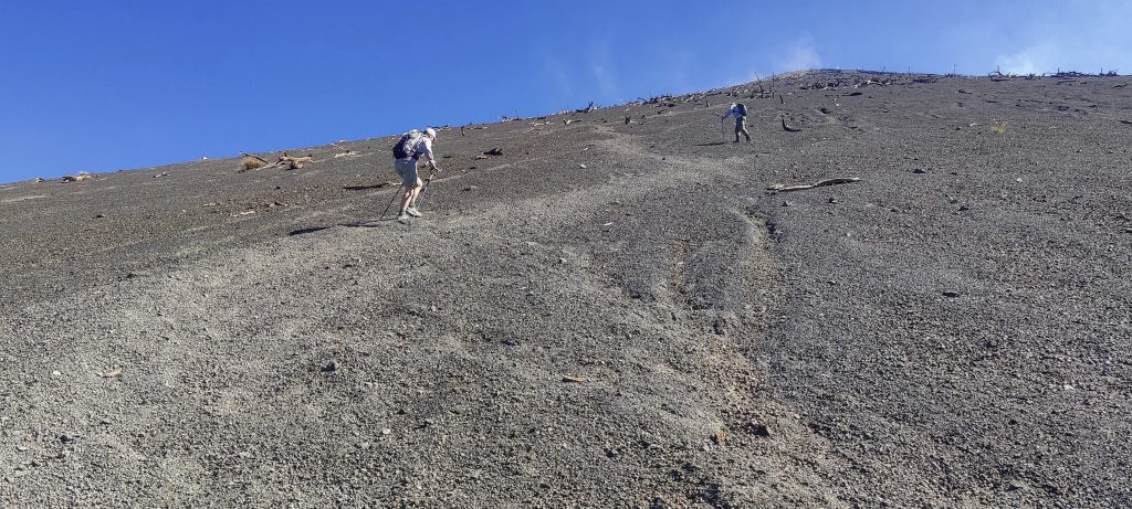
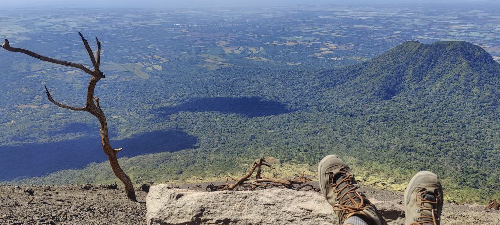
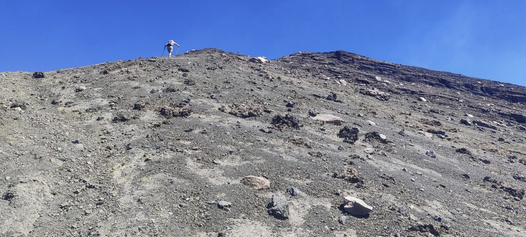
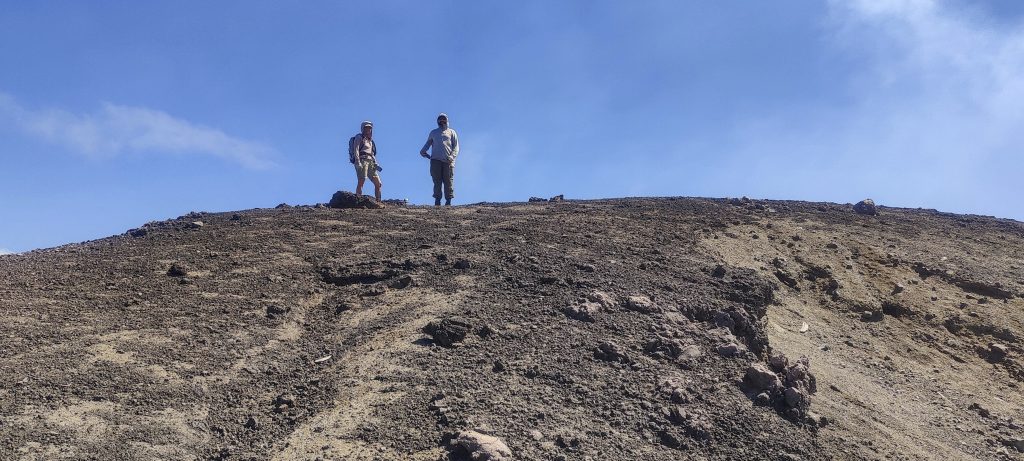
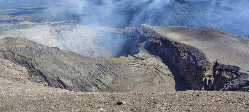
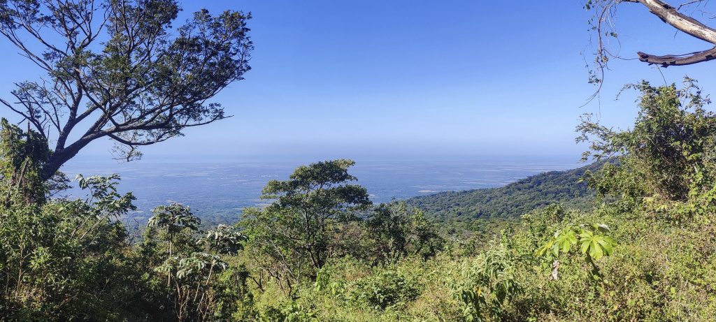
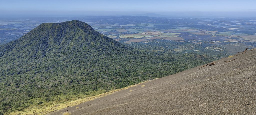
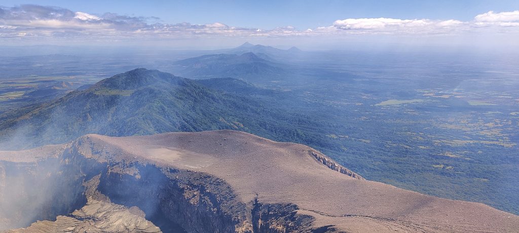
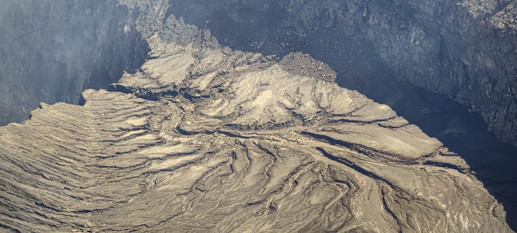
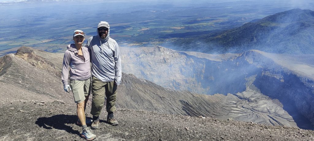
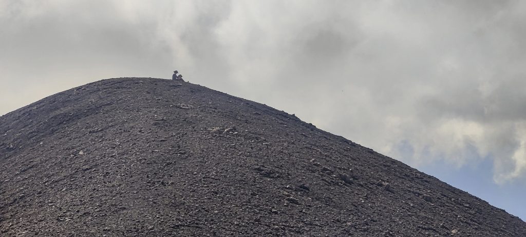
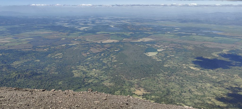
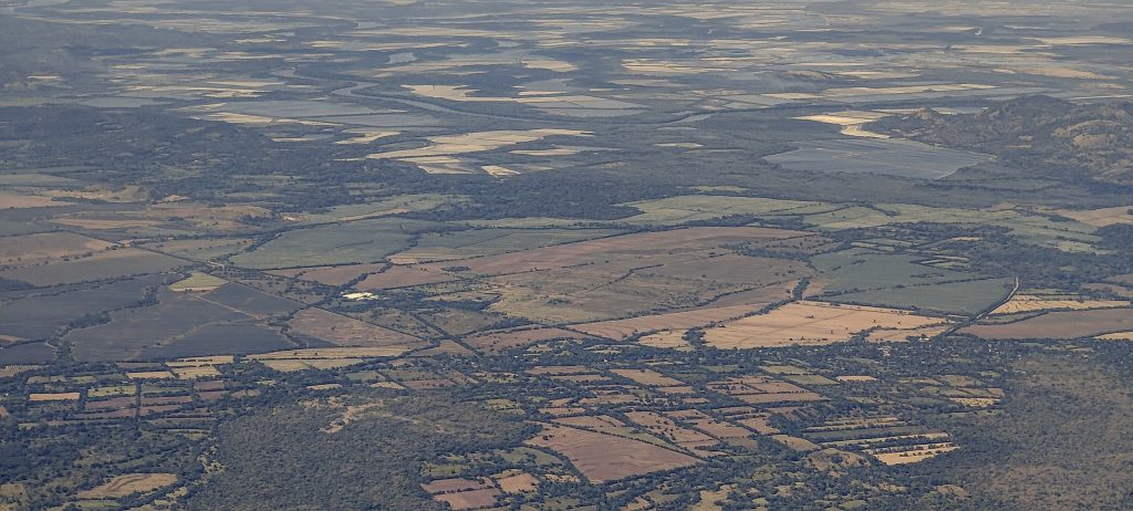
Two up, one down, two up, one down, and I’m at the top, where Renee and Dave had settled a little earlier. The top of the big mountain is marked with a stick about the length of a finger. A spectacular view of the crater with light smoke rising from it. Volcán San Cristobal stands in the middle of flat agricultural fields, giving excellent visibility in all directions. Volcanoes in the vicinity include Volcán Telica, Volcán El Hoyo, and Volcán Momotombo.

View of the south rim
East view
North rim looks to be passable
Rivers inside the crater
West slopes
Surrounding summits
At the summit with Renee and Dave
Renee and Dave at the top

We look around for about half an hour and then climb down the same way. Yes, it’s not only easy to climb down, it’s also a lot of fun. It took us a couple of hours to get up there and less than half an hour to get back down. Real – Volcán Express.

Volcán Express
Dead tree trunks all over the place
Fertile farmland around the volcano
The descent was a very, very pleasant activity.
A weird patch of red grass

For three of us, this was our first ultra summit in Nicaragua. We head back to the hotel, thinking about ice cream and dinner.

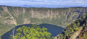
After a very short visit to Nicaragua, Renee flies home and Dave and I make plans for tomorrow. We have two P600 candidates. Volcán Telica: we are not sure if we will reach the actual summit And Volcán El Hoyo: we are not sure if we will make it to the trailhead. Where two fight, the third wins! After dinner we found a mountain we had not seen on the map before. Volcán Cosigüina is the westernmost P600 peak in Nicaragua. Great, we will climb it tomorrow.

A good meal in the evening

Volcán San Cristóbal1745 m altitude
1665 m prominence
115.24 km isolation
RangesCentral America Ranges - Central Central America
Countries/regionsNicaragua - Chinandega
Distance4.90 km up4.90 km down
Elevation1254 m gain1254 m loss
Time
4h20 up
0h20 other
2h00 down
6h40 total
Trailhead491 m altitude12.6831940, -87.0275830
Difficulties<p>steep volcanic ash slope</p>
LinksGPX trail
  • Central America 2023
  • « Brussels to Chicago
  • Volcán Cosigüina »

Mountain Ranges

Anatolia
Central Anatolia
Pontic Mountains
Southeast Anatolia
Taurus Mountains
Western Anatolia
Andes
Puna de Atacama
Atlas Mountains
High Atlas
Northwestern Atlas
Central America Ranges
Costa Rica-Panama Ranges
Central Central America
East China
Taiwan
Eastern Europe Ranges
Southeast Baltic Plains
Iberian Peninsula
Cordillera Cantabrica
Castile Ranges
Portugal-Galicia
Pyrenees
Intermountain West
Great Basin Ranges
Korea-Amur Area
Taebaek Sanmae
Malay Archipelago
Java
Nusa Tengarra
Sulawesi
Sumatra
Mid-Atlantic Islands
North Atlantic Islands
Mongolia Ranges
Altai
Gobi Desert Ranges
Hangay Mountains
Northwest Europe
Great Britain
North France-West Rhine Area
Pacific Ranges
Cascade Range
Northwest U.S. Coast Ranges
Sierra Nevada
Central and Southern California Ranges
Philippines
Central Philippines
Luzon
Mindanao
Southeast Asia
Malay Peninsula
Southeast South America
Pampas
Sierras de Cordoba
Southern Africa
Malawi Highlands
West Africa Mountains
Bight of Benin
Cameroon Mountains
Guinea Highlands

Countries / regions

Algeria
Ain Guezzam
Ain Salah
Aïn Témouchent
El Bayadh
Ghardaïa
Oran
Ouargla
Saïda
Sidi Bel Abbès
Tamanrasset
Argentina
Catamarca
Ciudad Autónoma de Buenos Aires
Córdoba
Jujuy
Salta
Tucumán
Belgium
Brussels Capital Region
Flemish Region
Cameroon
Southwest
China
Taiwan
Costa Rica
Alajuela
Cartago
Guanacaste
Heredia
Limón
San José
Czechia
Prague
Denmark
Greenland
France
Hauts-de-France
Occitania
Germany
Berlin
Niedersachsen
Indonesia
Bali
Jambi
Jawa Tengah
Jawa Timur
Nusa Tenggara Barat
Sulawesi Tengah
Sulawesi Utara
Sumatera Barat
Lithuania
Vilnius County
Mongolia
Bayankhongor
Govi-Altai
Khovd
Omnogovi
Ovorkhangai
Ulan Bator
Zavkhan
Morocco
Béni Mellal-Khénifra
Drâa-Tafilalet
Fez-Meknes
Marrakesh-Safi
Souss-Massa
Tangier-Tetouan-Al Hoceima
Mozambique
Zambezia
Netherlands
Gelderland
Noord-Holland
Zeeland
Nicaragua
Chinandega
Managua
Masaya
Rivas
Philippines
Bicol Region (V)
Cagayan Valley (II)
Calabarzon (IV-A)
Central Luzon (III)
Cordillera Administrative Region
Davao Region
Metro Manila
Soccsksargen (XII)
Western Visayas (VI)
Poland
Greater Poland Voivodeship
Masovian Voivodeship
Portugal
Castelo Branco
Leiria
Lisbon
Madeira
Santarém
Qatar
Ad-Dawhah
São Tomé and Príncipe
São Tomé Province
Sierra Leone
Northern Province
Western Area
Singapore
South Korea
Gyeongsangnam-do
Seoul
Spain
Aragón
Asturias
Castilla-La Mancha
Castilla y León
Catalonia
Islas Canarias
Switzerland
Zürich
Turkey
Antalya
Bitlis
Erzincan
Hakkâri
Igdir
Isparta
Kahraman Maras
Muğla
United Kingdom
England
Scotland
United States
California
Delaware
Florida
Maryland
Nevada
New Jersey
New York
Pennsylvania
South Carolina
Utah

TRIPS

2024
Southern Africa 2024
Mid-Atlantic Islands 2024
North America 2024
Anatolia 2024
Korea-Amur Area 2024
East China 2024
2023
Mongolia Ranges 2023
Philippines 2023
West Africa III 2023
West Africa II 2023
Iberian Peninsula 2023
West Africa 2023
Central America 2023
2022
Andes 2022
Northwest Europe 2022
Malay Archipelago III 2022
Malay Archipelago II 2022
Anatolia Mountains 2022
Iberian Peninsula 2022
Atlas Mountains 2022
North France-West Rhine Area 2022

archaeology (3) climb (157) food (2) hike (155) p30 (17) p50 (4) p100 (24) p300 (12) p600 (17) p1000 (11) p1500 (76) ribu (10) sight (46) summary (16) trig (44) ultra (76)

1 591 km walked, 121 298 m climbed

©2025 p600.org | WordPress Theme by Superbthemes.com