The hill has a nature reserve at the top and is the highest point in the province of East Flanders It has been included in various cycling events such as the Tour of Flanders, Omloop Het Volk, E3 Prijs Harelbeke and the World Championships.
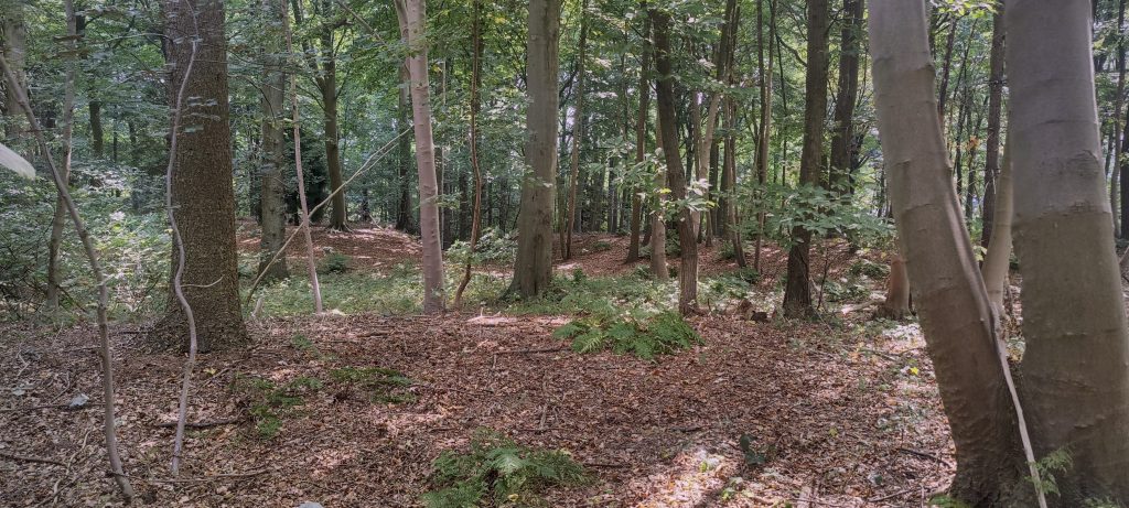
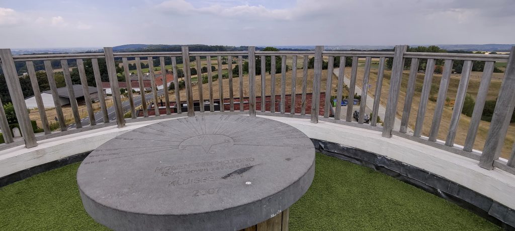
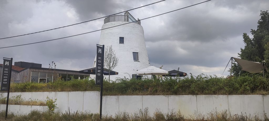
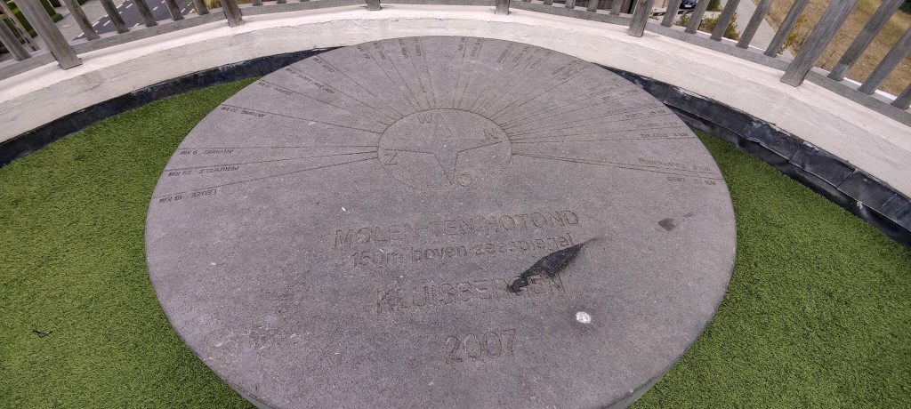
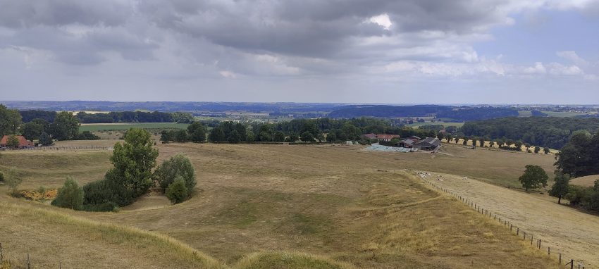
I park my car in the hotel/cafeteria car park and walk along the forest path next to the road. I cross the road, then a small meadow with some bushes at the side. At least some of the bumps could be peaks. The peakbagger point is where there is a 20x20x2m hole. I think this mistake can explain a topographic contour on some maps. Unfortunately, the contour is not there because it is higher, but because it is lower. The highest point could be about 10-20 metres away, at the edge of the forest. I go back to the car and then up to the roof of the cafeteria, where there is a nice viewing platform with a toposcope. I pay 3 euros for about 10 ml (1 cl) of coffee. I don’t even get a sip… at least I don’t waste that much water… and drive on.
