Some days are built around one mountain. This one was built around efficiency, summit logic, and the quiet satisfaction of getting a whole chain of small objectives right. On 14 March 2026, I linked eight short Czech P100s south and southwest of Plzeň, starting on Koráb above Kdyně and finishing in fading light on Bambule above Strašice.
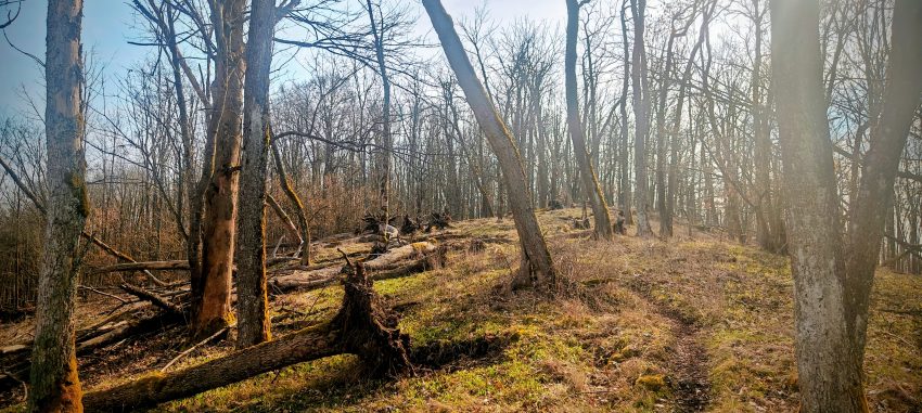
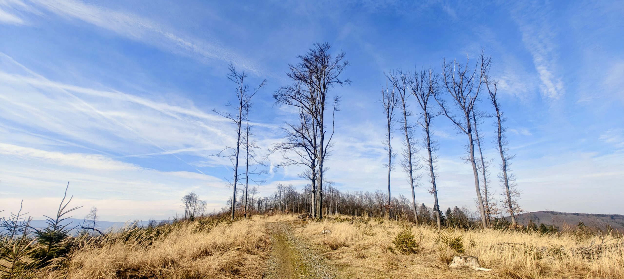
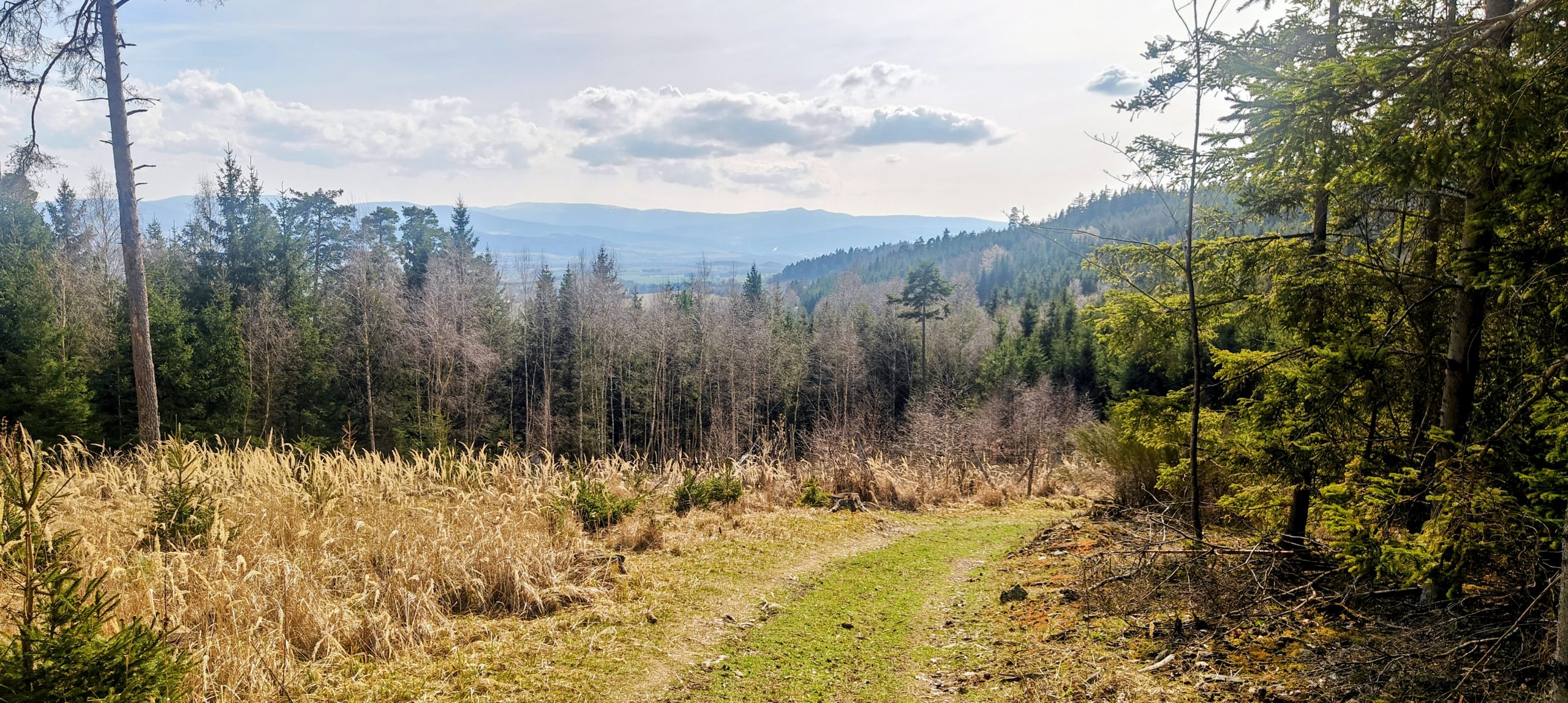
None of the individual walks was long, but together they made a full and varied day: a three-bump summit with a developed false top, a compact hill with a lower cross-marked bump, a survey-marked summit with a nearby natural high point, a wooded crest with a slightly awkward summit reading, a well-marked forest top, a short hill with more character than expected, a very quick cairned summit, and one last dusk finish with a clear true high point.
Using the route figures from the individual reports, the day came to about 16.3 km of walking in total, with roughly 668 metres of ascent and about 4h10 on foot. In practice, this was not a hard day so much as a clean one. The driving links were short enough to keep momentum, the starts were efficient, and several of the hills had just enough summit ambiguity to keep the sequence from collapsing into routine.
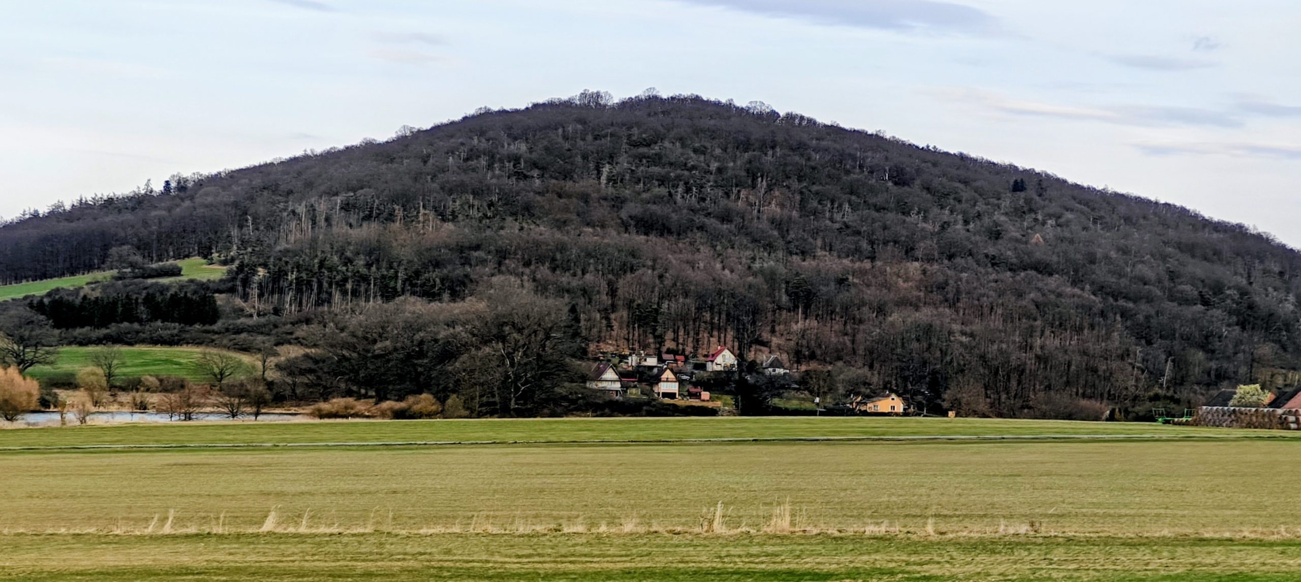
Koráb was the natural opener. It was the strongest hill of the day by prominence, and it also had the clearest summit-identity lesson: the tower and restaurant sit on the developed western bump, but the true natural high point lies farther east along the ridge. Starting high on the access road kept the walk short, yet the hill still felt worth doing carefully because the developed summit and the real summit are not the same thing. That combination of convenience and genuine topographic interest made it an excellent first stop.
Velký Bítov was a good second peak because it stayed short but added another variation in summit logic. The lower south point with the cross and antenna is the more obvious place to stop, but the true summit lies farther north in the woods. The outing was still easy and compact, yet it forced the kind of small correction that makes a modest P100 more satisfying than a simple roadside tick. It was a reminder that on these hills, identity often matters more than scenery.
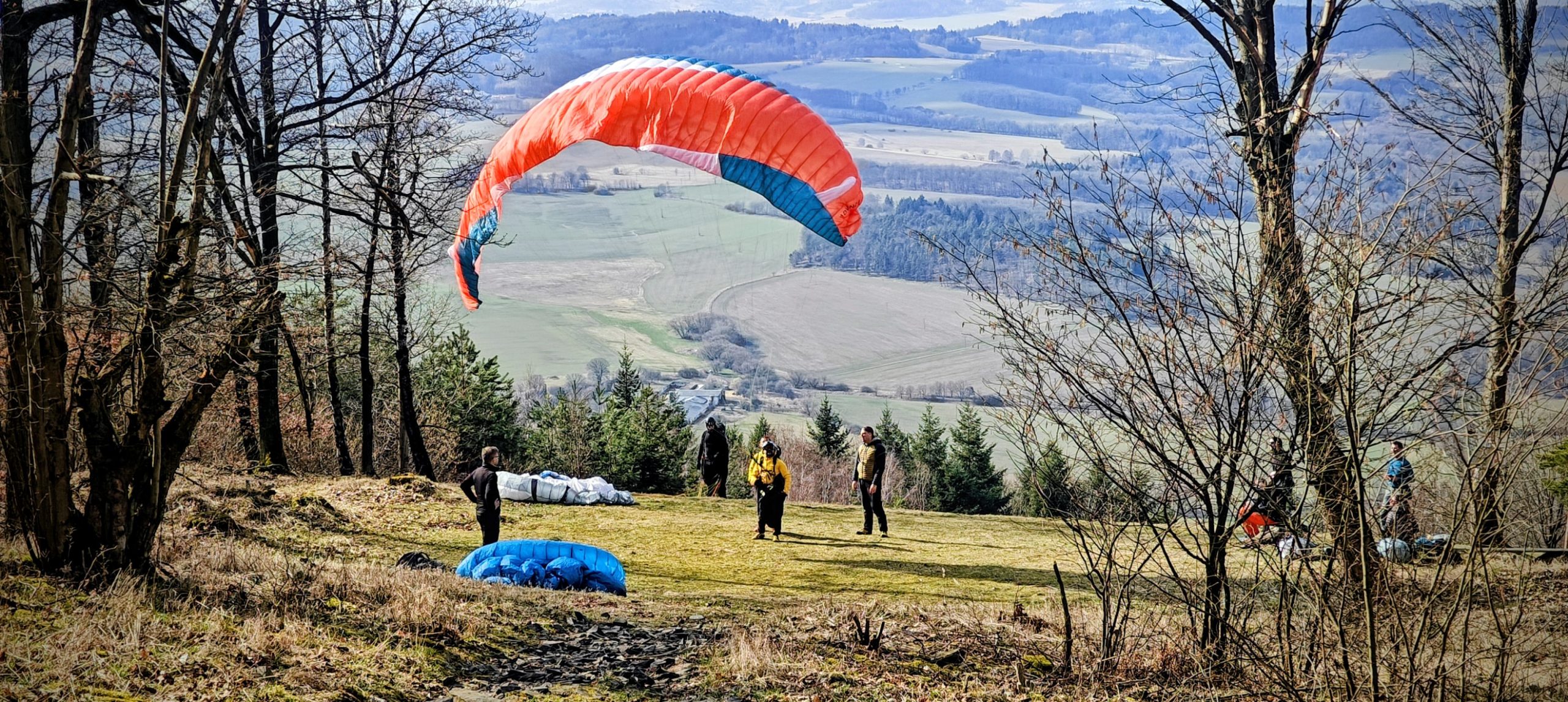
Doubrava stood out because its summit area was unusually structured for such a short outing. The survey cluster gives the top a formal mapped identity, but the likely natural high point appears to lie just beyond it, which adds a useful little wrinkle for peakbaggers. With high road access the walk was extremely short, yet it never felt throwaway. The paragliding slope, open upper woods, and triangulation context gave it more character than the numbers alone would suggest.
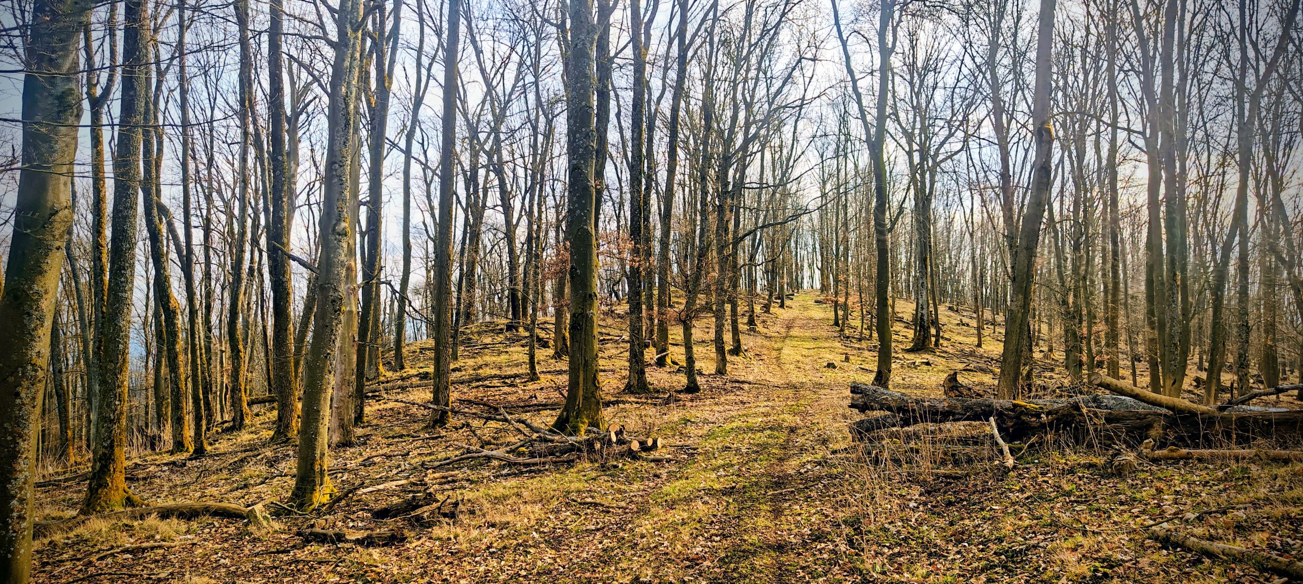
Říčej was slightly fussier than Doubrava and therefore memorable in a different way. The walking itself was simple through open beech forest, but the mapped summit point did not feel like the best ground high point. The crest seemed to continue a little farther, where an old trig remnant and leaning pipe made better sense as the actual top. It was not dramatic, but it was exactly the kind of quiet summit puzzle that keeps a short wooded hill from feeling anonymous.
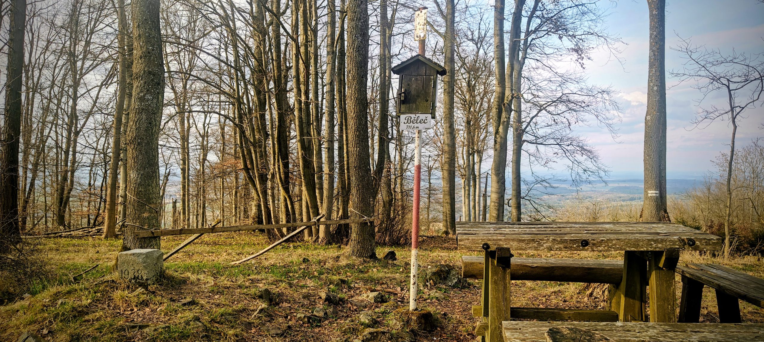
After the mild ambiguity on Říčej, Běleč felt refreshingly straightforward. The summit area was clearly marked and had enough built identity to be instantly recognisable on arrival, with the sign, post, register, table, and survey marker all helping the place hold together. It was still a short forest outing, but one with a cleaner summit read and stronger sense of arrival than several of the earlier hills. That made it one of the most efficient and easiest repeats of the day.
Tuhošť looked minor on paper, but on the ground it had more personality than expected. The summit sign, register box, old concrete marker, and wooded crest gave it a clearer summit feel than many short hills of similar size. The outing was very short and uncomplicated in dry conditions, though the upper line was rougher than it first appeared and the shortcut descent worked mainly because everything was dry. Even so, Tuhošť punched above its numbers and felt like more than just another wooded stop.
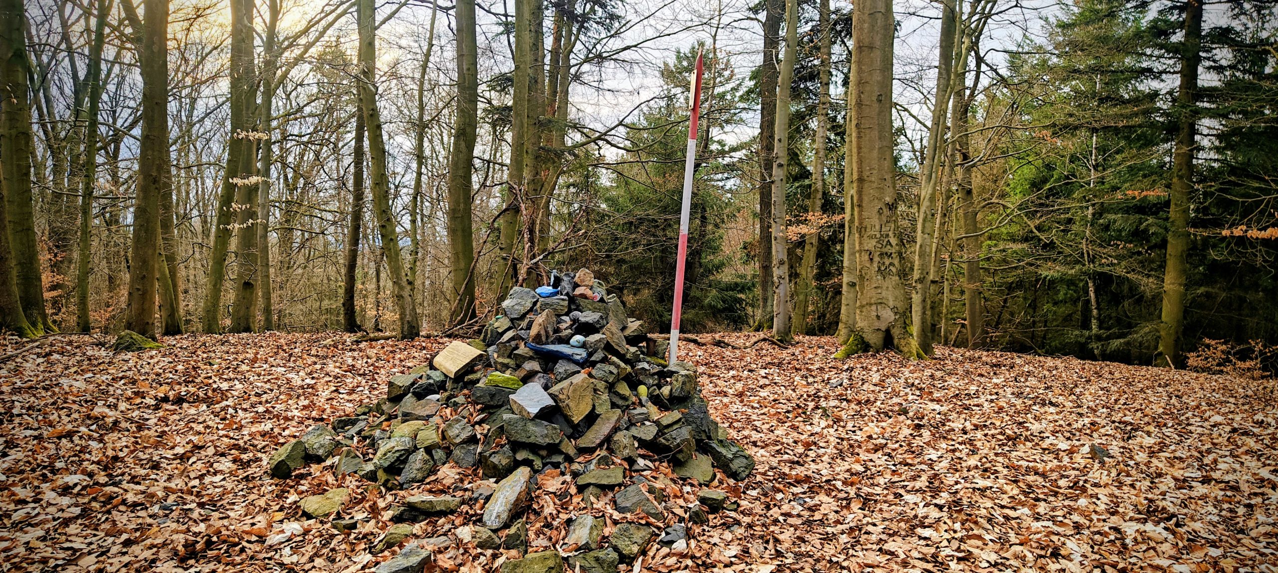
Stramchyně was one of the quickest peaks of the day, but it still managed to feel distinct. The cairn and red-and-white triangulation pole gave the summit a practical on-ground identity, which mattered because the surrounding crest was broad enough that it would have been easy to stop too early at a less convincing point. The hill made sense as a near-neighbour to Tuhošť: short, wooded, and efficient, but with its own clear summit marker and slightly different feel.
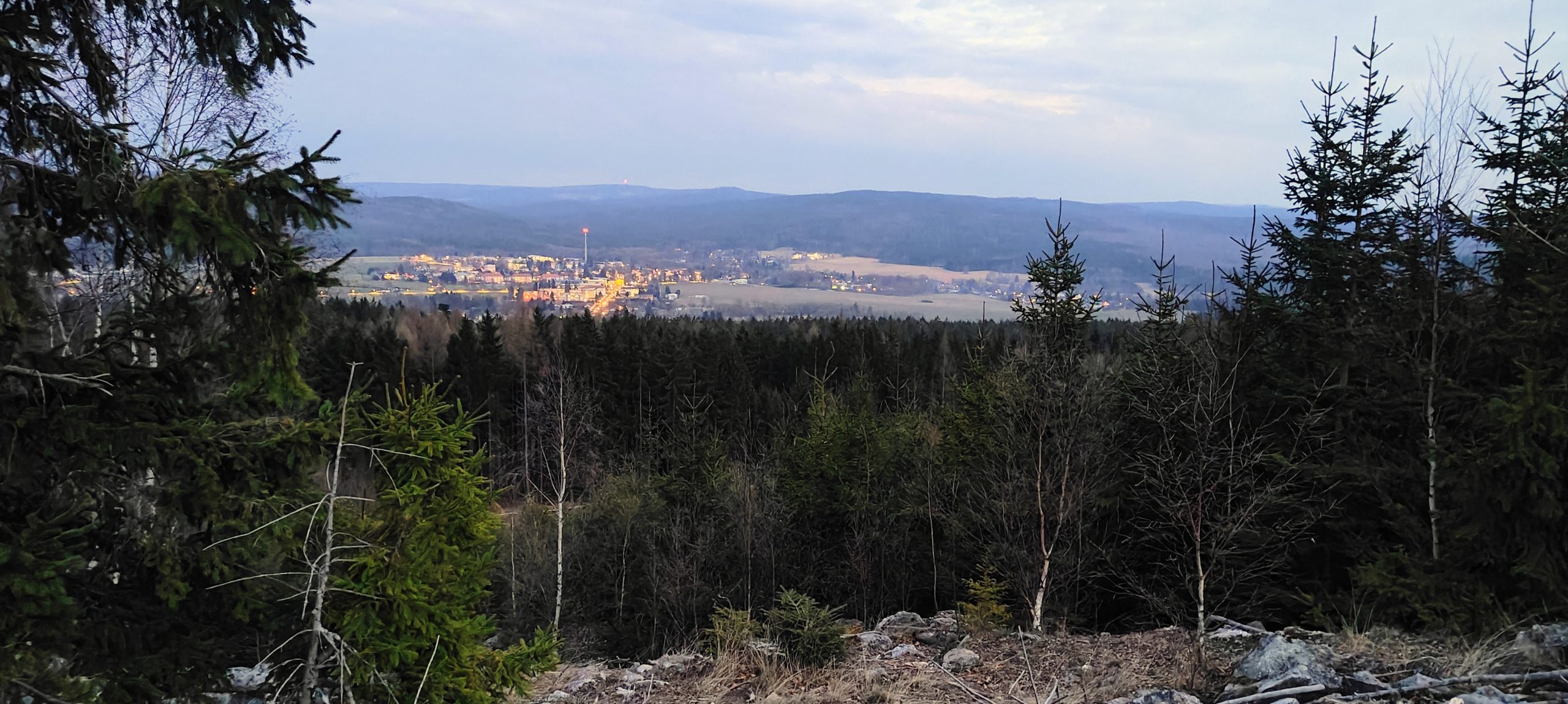
Bambule was a fitting final summit. By then the day had narrowed to the basic rules of finishing well: choose the cleaner line, ignore the first merely plausible high point, and make sure the true summit is actually reached. The route was extremely short, but the failing light, the rougher start through the plantation, and the need to continue a little farther along the ridge gave the hill a better end-of-day atmosphere than a purely mechanical final tick would have had. It was a small summit, but a good finish.
| Peak | Altitude | Prominence ↓ | Isolation | Distance | Elevation Gain | Time |
| Bohemian Ranges | 16.3 km | 668 m | 4h10 | |||
| Koráb | 776 m | 240 m | 15.4 km | 4.1 km | 80 m | 0h51 |
| Běleč | 712 m | 210 m | 5.7 km | 2.3 km | 102 m | 0h33 |
| Doubrava | 727 m | 199 m | 8.6 km | 1.5 km | 54 m | 0h29 |
| Bambule | 661 m | 136 m | 9.8 km | 1.0 km | 44 m | 0h19 |
| Říčej | 607 m | 133 m | 2.9 km | 1.6 km | 92 m | 0h30 |
| Tuhošť | 601 m | 125 m | 2.2 km | 0.9 km | 75 m | 0h19 |
| Stramchyně | 543 m | 119 m | 2.7 km | 1.4 km | 71 m | 0h21 |
| Velký Bítov | 713 m | 117 m | 4.0 km | 3.6 km | 150 m | 0h48 |
| 16.3 km hiked and 668 m elevation gained in 4h10 | ||||||
As a single outing, this day worked because the hills were close together but not interchangeable. Some had clearer true-summit questions, some had better markers, some had stronger local presence, and some were mainly useful prominence objectives, but the sequence never went flat. Around Plzeň, these short P100s are close enough to combine efficiently, yet varied enough in summit character and access style that the day still felt like a real chain rather than a list of errands.
That was the real success of the outing. Not one dominant mountain, but eight short climbs that fit together cleanly and made a full, satisfying peakbagging day.
