Skip to content
Menu
p600.org
  • home
  • map
  • trips
  • about
p600.org

Jebel Toubkal

hike | 2022-08-30

The world’s 36th most prominent mountain is Morocco’s highest mountain, the highest peak in the Atlas Mountains, and the nearest higher mountain is more than 2,078 kilometres away. There’s definitely more than one reason to climb it. A guide is compulsory, but it is not very clear why it is needed. Everywhere there are wide, safe, clearly visible, and technically easy trails. Never mind, what matters is that we reach the top. 

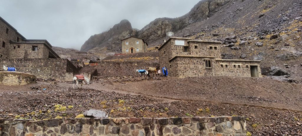
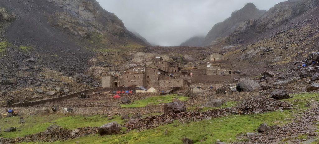
  • Day 1. Begin at Imlil village at 1925m. Then 1220m 9.5km 3h30 climb to Refuge Toubkal Les Mouflons at 3145m. After a short break 1022m 4.0km 3h20 climb to the summit at 4167m
  • Day 2. After breakfast 1220m 9.5km 3h00 descent to Imlil village
Mulle Express operates 24/7
Surrounding valley tops

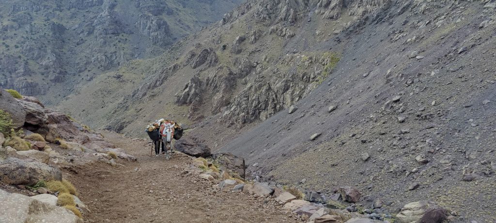
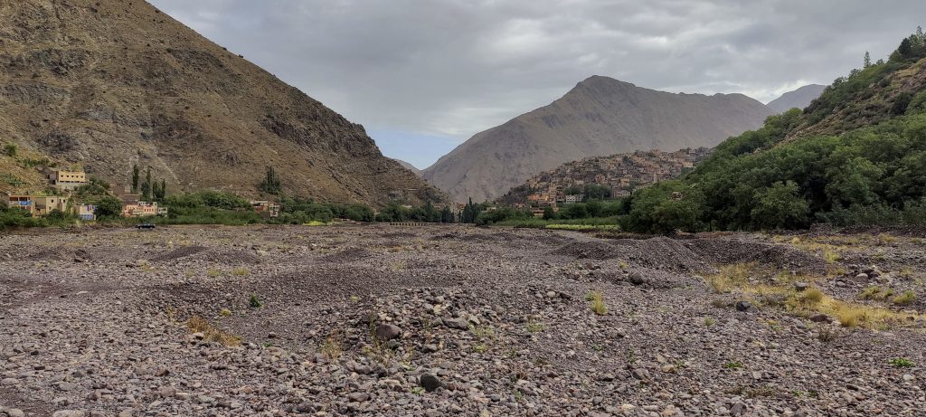
We start the climb early in the morning; the mules will bring our stuff a little later. Although, to tell the truth, I don’t know exactly what the mules will bring because everything I need is in my backpack. Food, extra drinks, and water can be bought at the hut. I think I only need the mule to contribute to the local economy, which is also a good enough reason.

Said (left) and John having a break
The trail follows the valley slope
A wide, unpaved trail, which is used by both mules and humans, leads to the hut

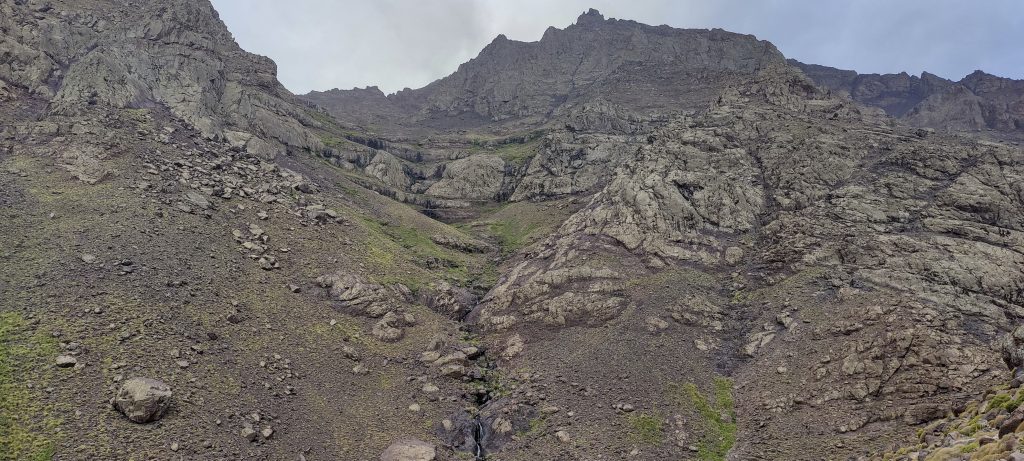
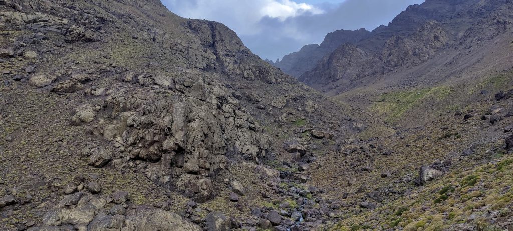
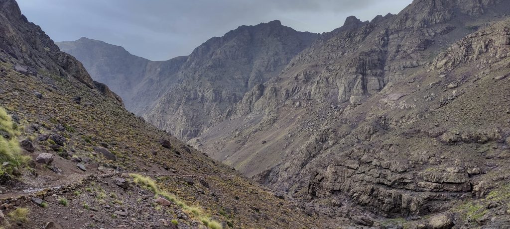
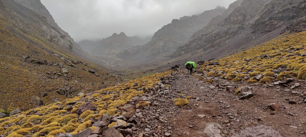
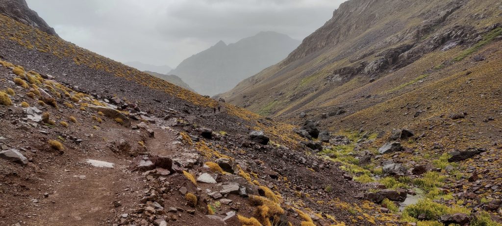
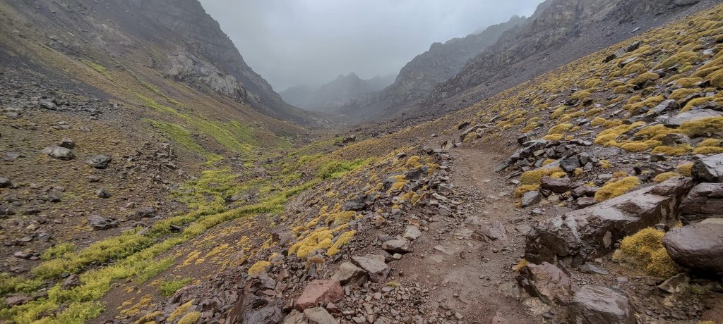
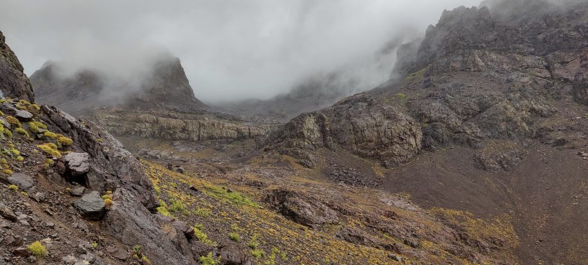
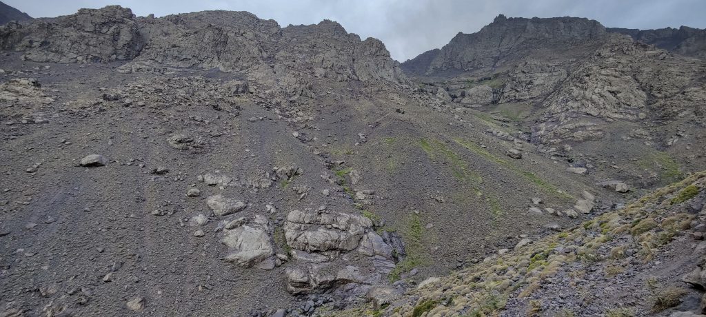
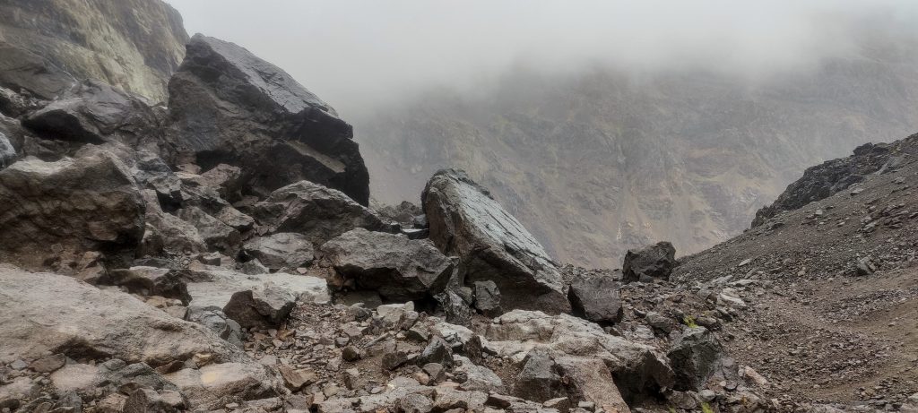
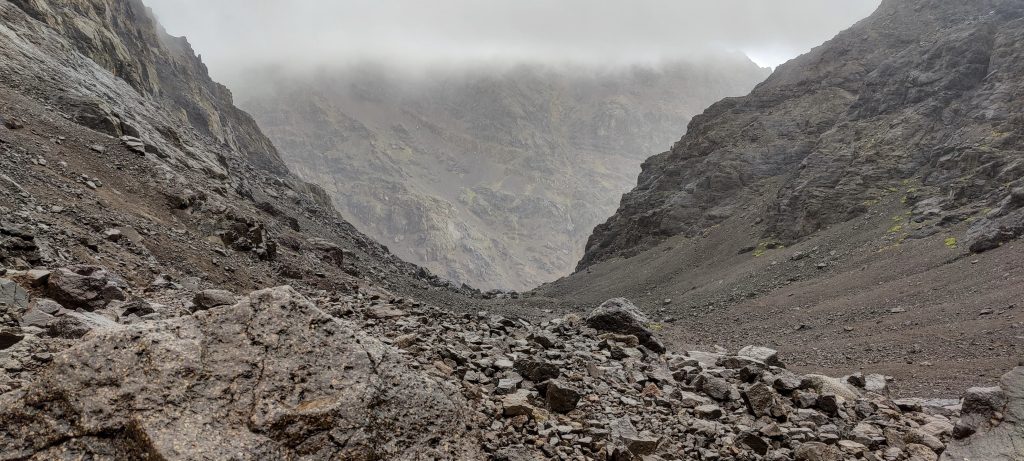
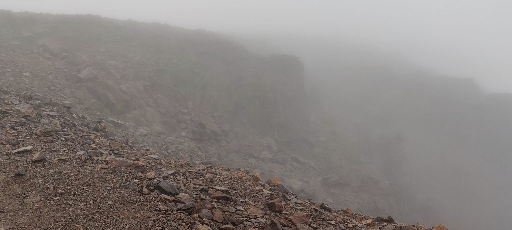
We climb up a wide trail, occasionally passing other hikers, mules, and locals. It’s a very social climb, and I have to say hello a lot. A couple of kilometres from the hut, it starts to rain. The further we go, the heavier it gets.

The shelter is more like a village
If it wasn’t for the rain, it would be fun to sit outside

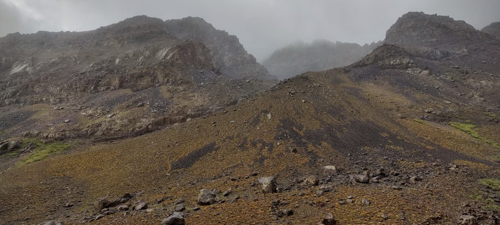
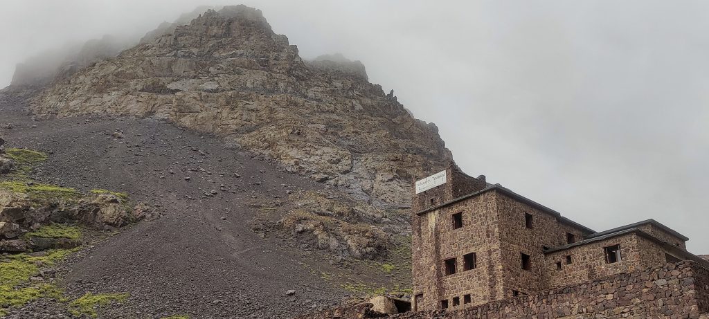
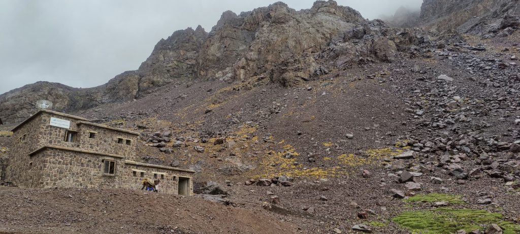
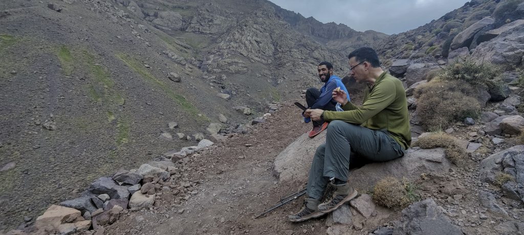
The rain gradually intensifies and reaches its maximum when we arrive at the hut. We sit inside next to the fireplace, dry our clothes, and have a snack. After a couple of hours, the rain stops, and we decide to summit today. If we fail because of the weather, we will have another chance tomorrow morning. It’s not far to the summit; we get ready quickly and begin climbing.

Surrounded by moss and cirsium
A view of the valley we came from
Free gaza
John climbs a field of stones

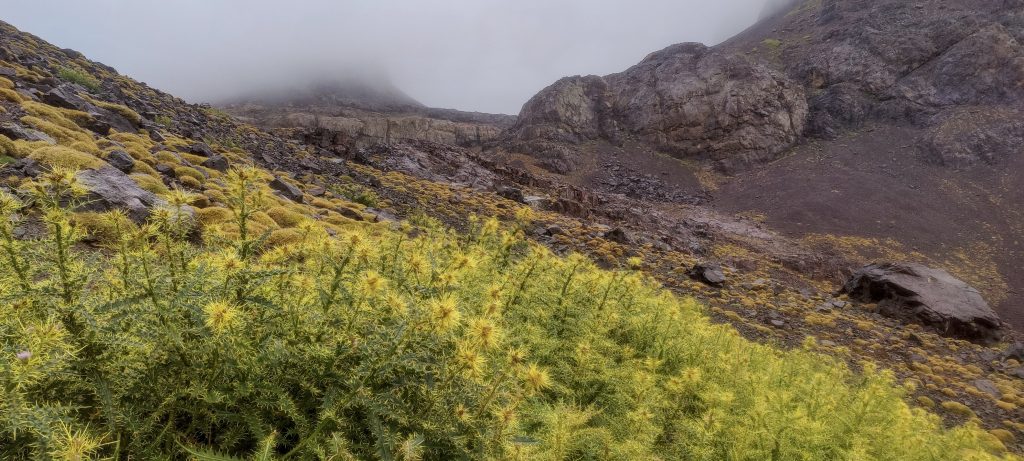
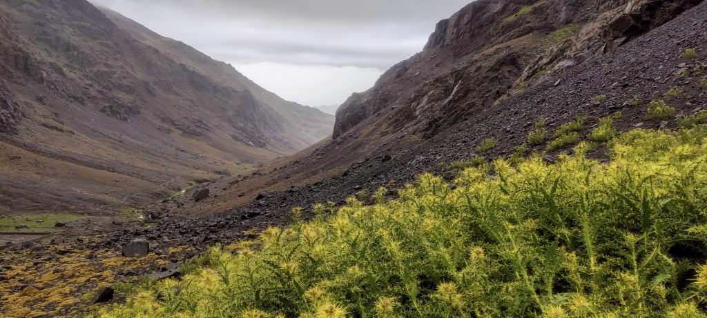
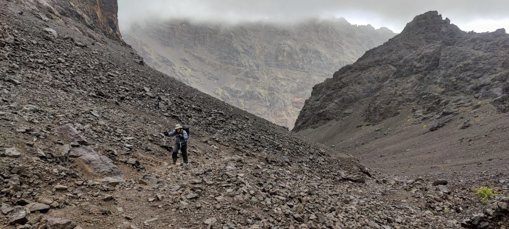
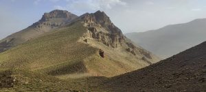
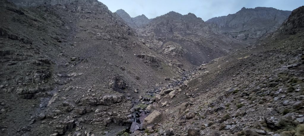
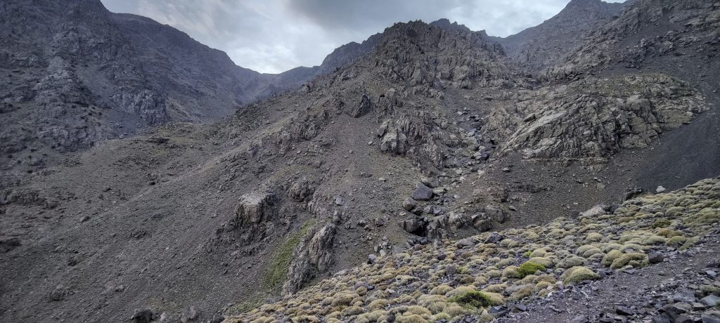
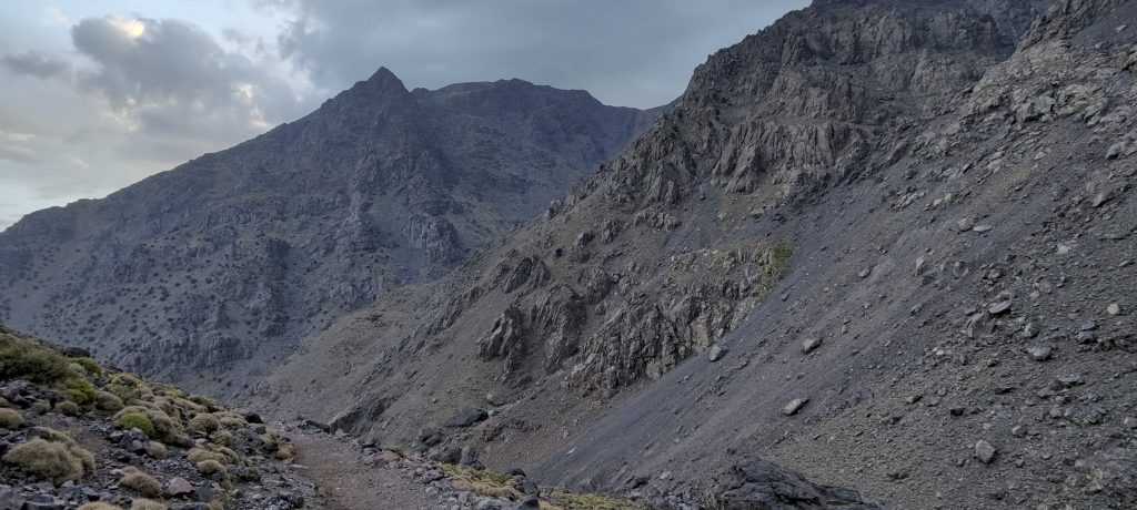
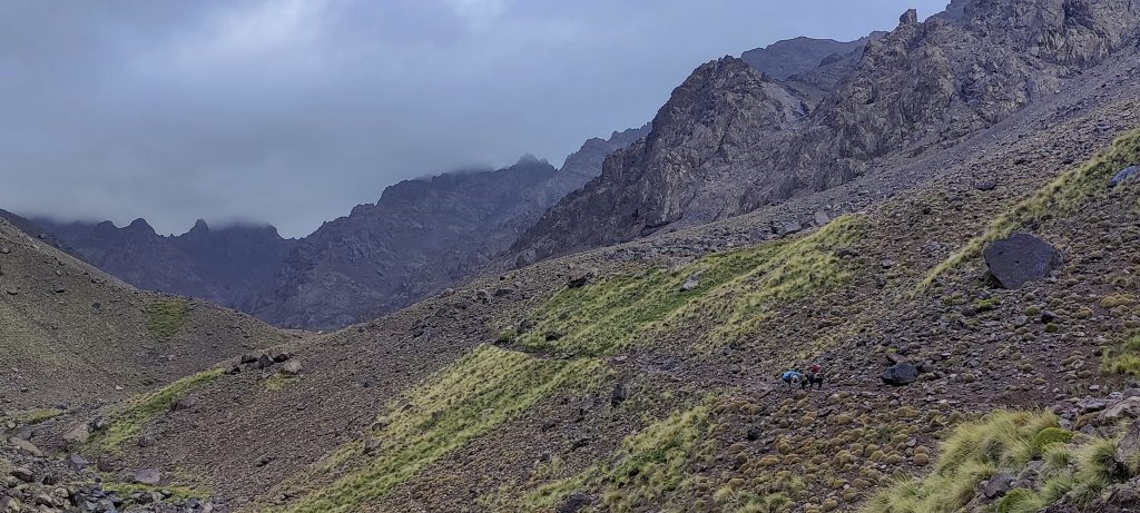
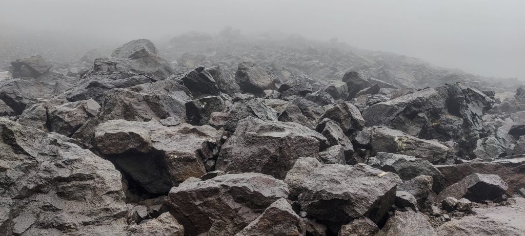
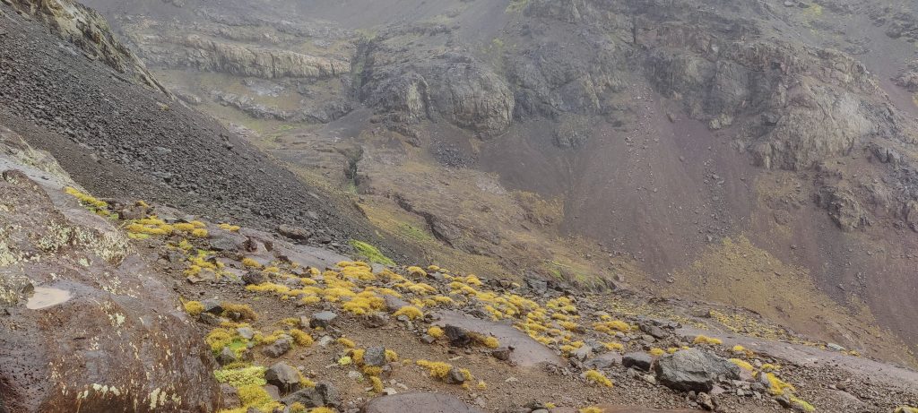
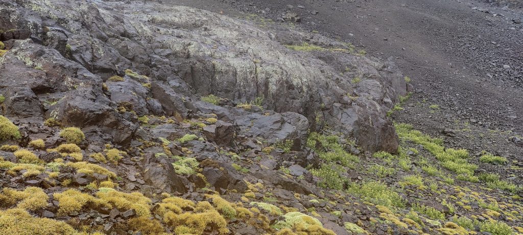
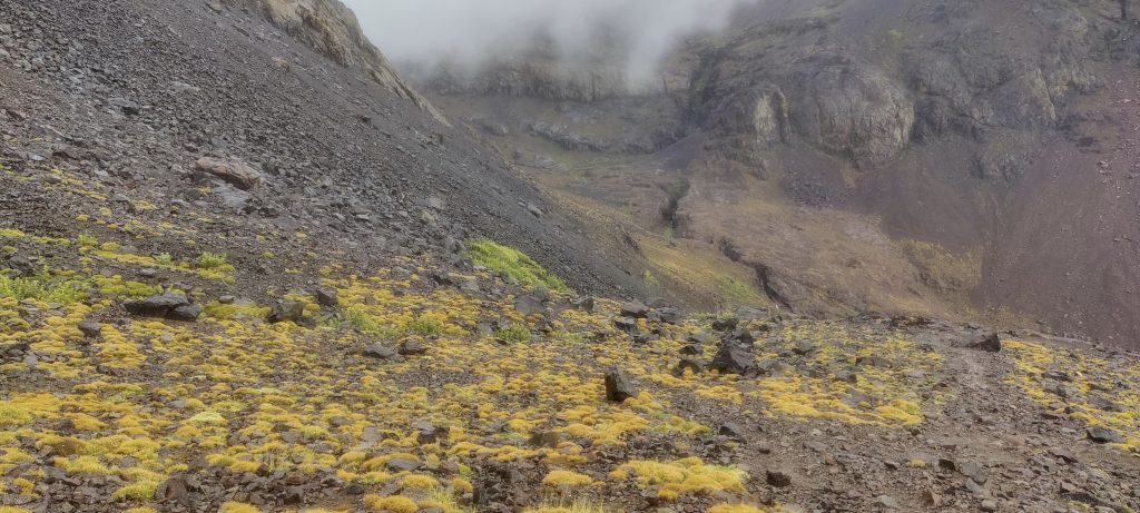
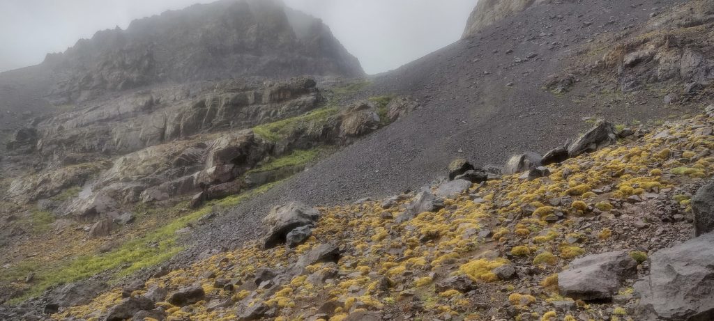
Approximately 4 kilometres of walking and 1,000 vertical metres of climbing It’s not a lot; we have a full half day before dusk. At the beginning, the trail is on a steep, stony slope, but it is not difficult, and we are moving quite fast.

Near the shelter, we have to walk over some big stones
A look back

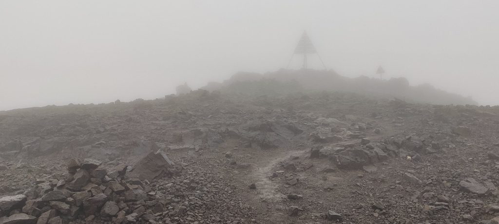
At the summit, we find a large triangular structure that some sources call Beirut. With clouds, rain, and visibility near zero, it is impossible to enjoy the surrounding views. After a few minutes, we descend the same trail.

The summit is marked with the metal triangle structure
Said
John (left) and me at the top
The visibility at the top is absolutely poor.
Going downhill at a fairly fast pace

We descend to the hut, dry all our clothes again, have dinner, and then sleep. In the morning, we walk the rest of the distance at a fast pace. It was great to see so many people climbing and to talk to some of them, but personally, I am convinced that this peak can be climbed unescorted and then descended the same day. I mean, of course, given the right weather conditions.

Views near the hut
The end of the valley
The trail to the summit passes through this boulder field

One of the world’s most prominent peaks has been climbed, which means we had a good day. We’re back in Imlil, still in the middle of the day. We take a bite to eat and head towards the Irhil M’Goun. It’s a long way, and we’ll be driving all afternoon and into the next day.

At the end of the riverbed, one can see the town of Imlil

Jebel Toubkal4167 m altitude
3755 m prominence
2078.23 km isolation
RangesAtlas Mountains - High Atlas
Countries/regionsMorocco - Marrakesh-Safi</br>Morocco - Souss-Massa
Distance13.00 km up13.00 km down
Elevation2243 m gain2243 m loss
Time
7h00 up
15h00 other
5h00 down
27h00 total
Trailhead1923 m altitude31.1226111, -7.9212222
Route<p style="color: #252525;">We start N from the peak, leaving the car at the end of Imlil village and walking S all the way along the stream to the hut. Wide trail, frequented by tourists, guides, pilgrims, salesmen, mules, and maybe someone else. The steep trail from the hut to the E passes through a large rock field before reverting to a normal, less steep trail. There were no problems until the very end. We descent same path.</p>
LinksGPX trail
  • Atlas Mountains 2022
  • « Tinmal Mosque
  • Aghouri »

Mountain Ranges

Anatolia
Central Anatolia
Pontic Mountains
Southeast Anatolia
Taurus Mountains
Western Anatolia
Andes
Puna de Atacama
Atlas Mountains
High Atlas
Northwestern Atlas
Central America Ranges
Costa Rica-Panama Ranges
Central Central America
East China
Taiwan
Eastern Europe Ranges
Southeast Baltic Plains
Iberian Peninsula
Cordillera Cantabrica
Castile Ranges
Portugal-Galicia
Pyrenees
Intermountain West
Great Basin Ranges
Korea-Amur Area
Taebaek Sanmae
Malay Archipelago
Java
Nusa Tengarra
Sulawesi
Sumatra
Mid-Atlantic Islands
North Atlantic Islands
Mongolia Ranges
Altai
Gobi Desert Ranges
Hangay Mountains
Northwest Europe
Great Britain
North France-West Rhine Area
Pacific Ranges
Cascade Range
Northwest U.S. Coast Ranges
Sierra Nevada
Central and Southern California Ranges
Philippines
Central Philippines
Luzon
Mindanao
Southeast Asia
Malay Peninsula
Southeast South America
Pampas
Sierras de Cordoba
Southern Africa
Malawi Highlands
West Africa Mountains
Bight of Benin
Cameroon Mountains
Guinea Highlands

Countries / regions

Algeria
Ain Guezzam
Ain Salah
Aïn Témouchent
El Bayadh
Ghardaïa
Oran
Ouargla
Saïda
Sidi Bel Abbès
Tamanrasset
Argentina
Catamarca
Ciudad Autónoma de Buenos Aires
Córdoba
Jujuy
Salta
Tucumán
Belgium
Brussels Capital Region
Flemish Region
Cameroon
Southwest
China
Taiwan
Costa Rica
Alajuela
Cartago
Guanacaste
Heredia
Limón
San José
Czechia
Prague
Denmark
Greenland
France
Hauts-de-France
Occitania
Germany
Berlin
Niedersachsen
Indonesia
Bali
Jambi
Jawa Tengah
Jawa Timur
Nusa Tenggara Barat
Sulawesi Tengah
Sulawesi Utara
Sumatera Barat
Lithuania
Vilnius County
Mongolia
Bayankhongor
Govi-Altai
Khovd
Omnogovi
Ovorkhangai
Ulan Bator
Zavkhan
Morocco
Béni Mellal-Khénifra
Drâa-Tafilalet
Fez-Meknes
Marrakesh-Safi
Souss-Massa
Tangier-Tetouan-Al Hoceima
Mozambique
Zambezia
Netherlands
Gelderland
Noord-Holland
Zeeland
Nicaragua
Chinandega
Managua
Masaya
Rivas
Philippines
Bicol Region (V)
Cagayan Valley (II)
Calabarzon (IV-A)
Central Luzon (III)
Cordillera Administrative Region
Davao Region
Metro Manila
Soccsksargen (XII)
Western Visayas (VI)
Poland
Greater Poland Voivodeship
Masovian Voivodeship
Portugal
Castelo Branco
Leiria
Lisbon
Madeira
Santarém
Qatar
Ad-Dawhah
São Tomé and Príncipe
São Tomé Province
Sierra Leone
Northern Province
Western Area
Singapore
South Korea
Gyeongsangnam-do
Seoul
Spain
Aragón
Asturias
Castilla-La Mancha
Castilla y León
Catalonia
Islas Canarias
Switzerland
Zürich
Turkey
Antalya
Bitlis
Erzincan
Hakkâri
Igdir
Isparta
Kahraman Maras
Muğla
United Kingdom
England
Scotland
United States
California
Delaware
Florida
Maryland
Nevada
New Jersey
New York
Pennsylvania
South Carolina
Utah

TRIPS

2024
Southern Africa 2024
Mid-Atlantic Islands 2024
North America 2024
Anatolia 2024
Korea-Amur Area 2024
East China 2024
2023
Mongolia Ranges 2023
Philippines 2023
West Africa III 2023
West Africa II 2023
Iberian Peninsula 2023
West Africa 2023
Central America 2023
2022
Andes 2022
Northwest Europe 2022
Malay Archipelago III 2022
Malay Archipelago II 2022
Anatolia Mountains 2022
Iberian Peninsula 2022
Atlas Mountains 2022
North France-West Rhine Area 2022

archaeology (3) climb (157) food (2) hike (155) p30 (17) p50 (4) p100 (24) p300 (12) p600 (17) p1000 (11) p1500 (76) ribu (10) sight (46) summary (16) trig (44) ultra (76)

1 591 km walked, 121 298 m climbed

©2025 p600.org | WordPress Theme by Superbthemes.com