Skip to content
Menu
p600.org
  • home
  • map
  • trips
  • about
p600.org

Adrar Bou Nasser

hike | 2022-09-03
3340 m altitude, 1642 m prominence, 147.59 km isolation

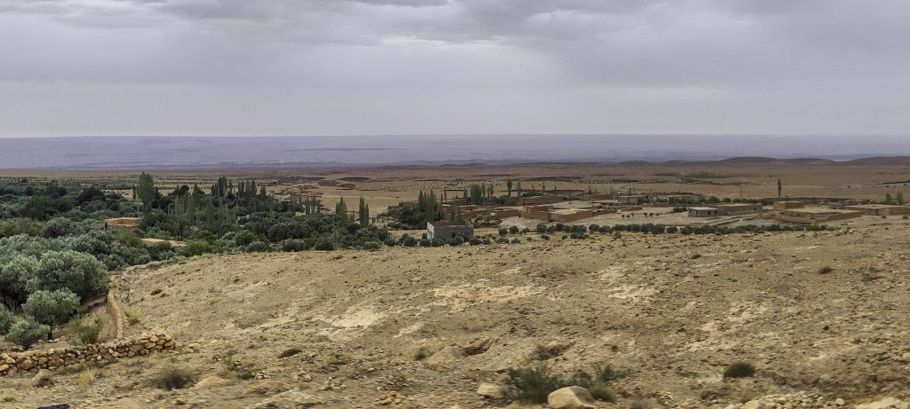
Three planned Moroccan ultrapeaks have been climbed, leaving two to go. So, we’re doing a big Northeasterly loop along the Atlas Mountains, and Adrar Bou Nasser is the most suitable mountain for the next climb. We get up early, drive to the trailhead, and leave the car at the end of the unpaved road.

Villages near the bottom of the mountain
The path is very gradual to begin with, but there’s no point in driving a car either
Approaching the gully

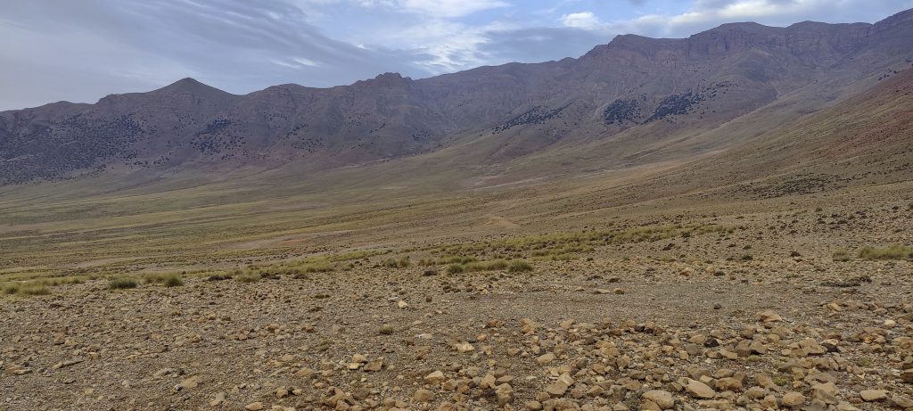
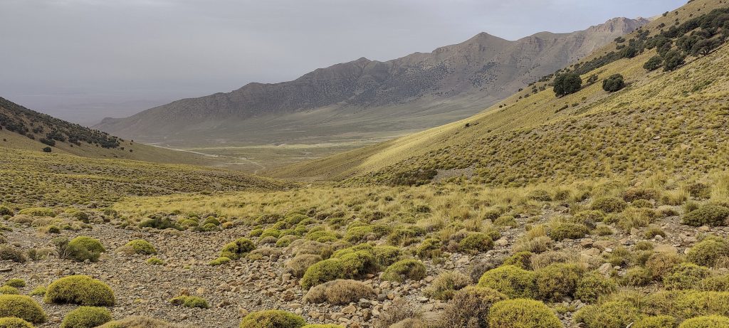
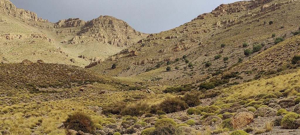
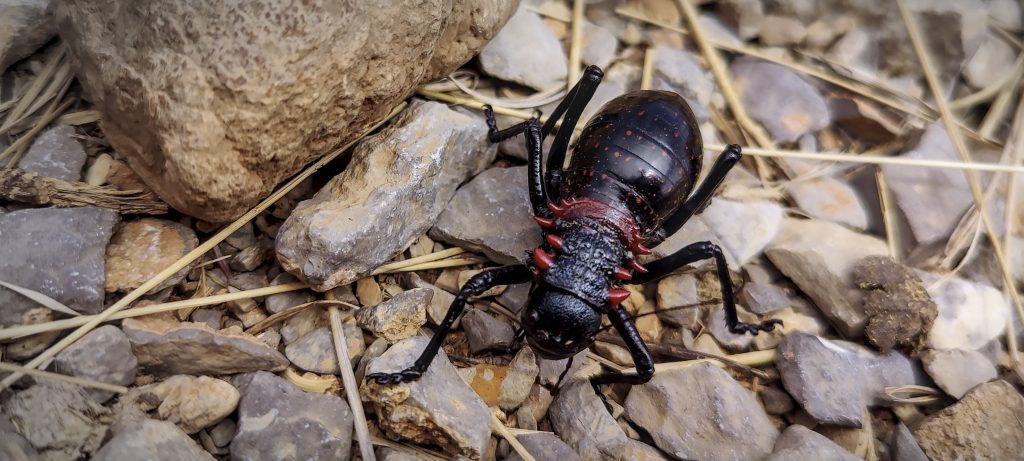
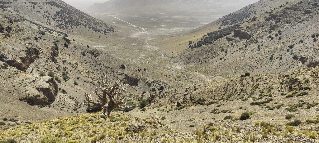
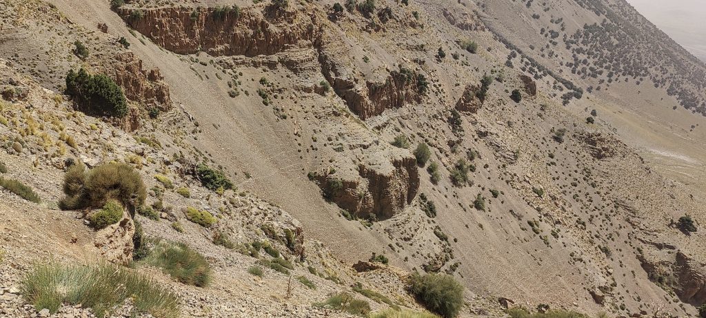
The road continues for several hundred meters, followed by a walk along the riverbed. Later, we turn toward the gully. Strange as it may seem, a shepherd’s path winds through the gully.

Lower surrounding peaks
We climb steep gully and the layered mountains remind me of the Faroe Islands
All surrounding mountains are “layered”
The gully is quite steep in a few places, but nothing to worry about

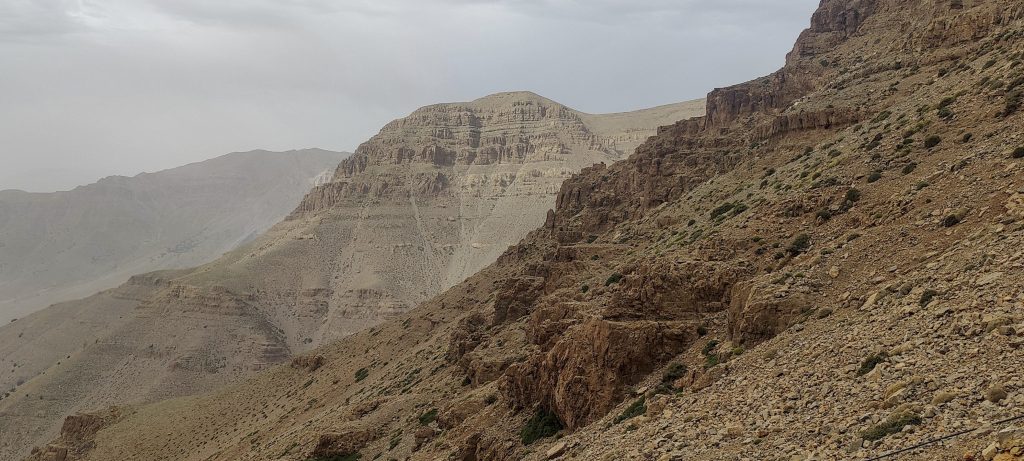
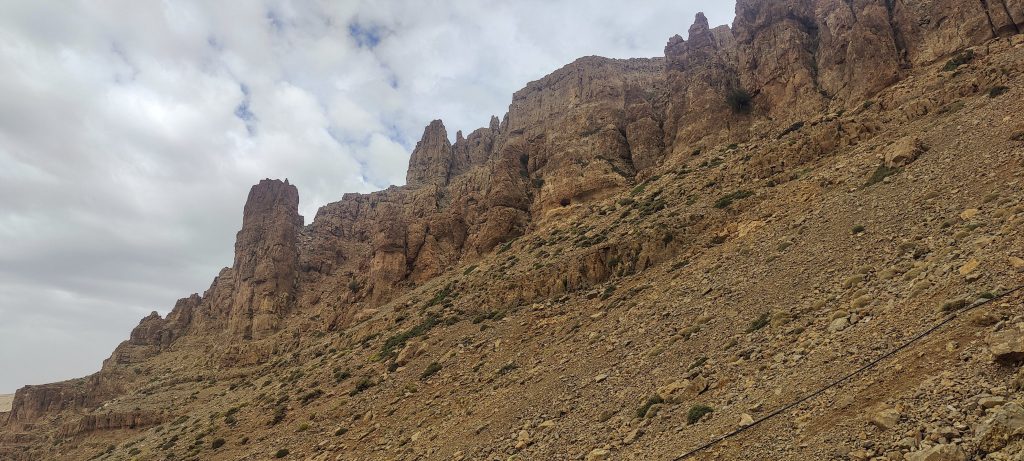
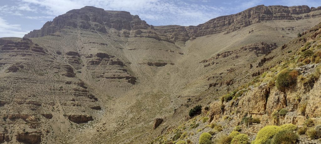
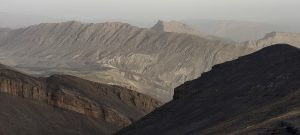
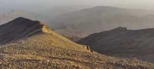
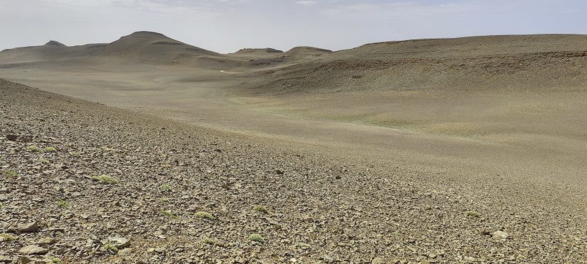
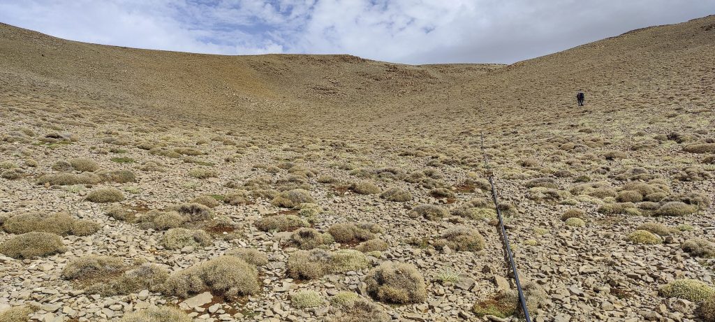
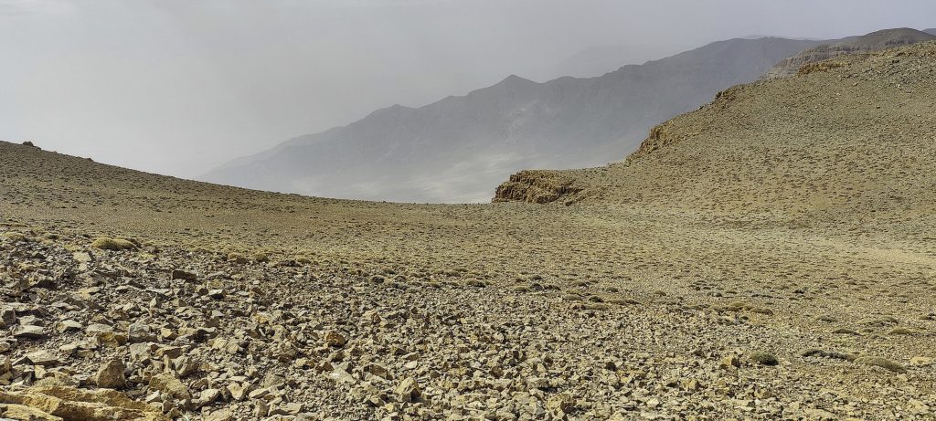
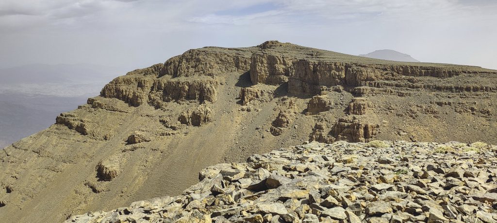
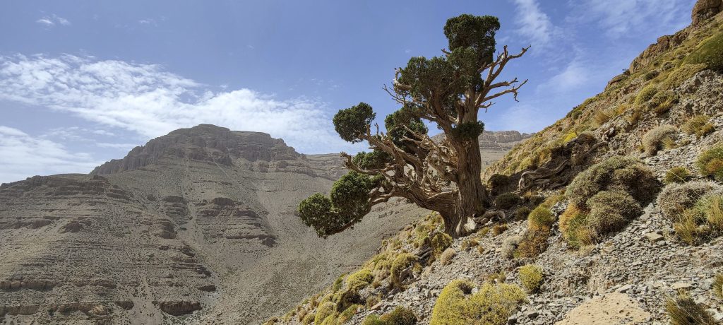
Closer to the top of the ridge, the scree trail is steep. Ah, there is a black plastic pipe going from the valley bottom to the top plateau. It works as a good trail marker that can be followed. After climbing up to the ridge, it is now quite a flat walk.

Following the pipe, the apex plateau can be reached
The whole top is a large and more or less flat field of stones
We need to remember where we’ve come from; it will come in handy on the way back. Although we have GPS tracks,
Side views
This is a South summit, if I’m not mistaken
West summit
Near the West summit

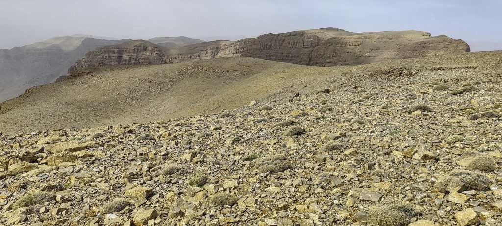
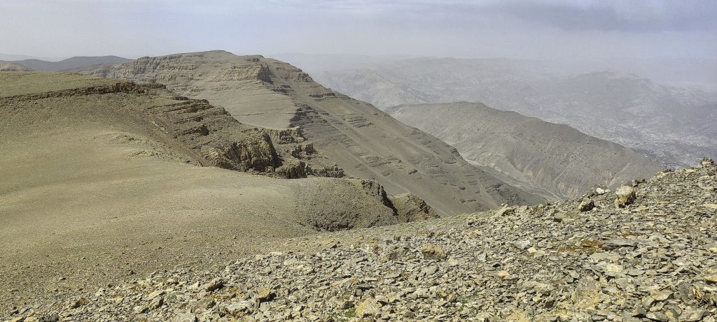
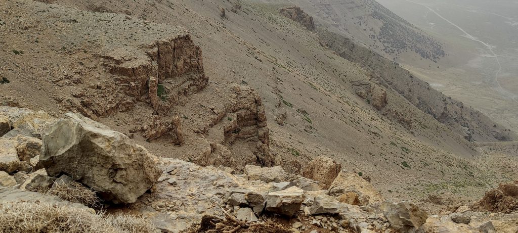
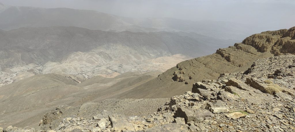
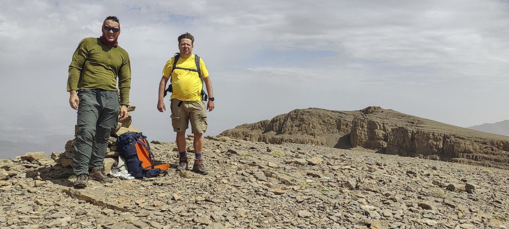
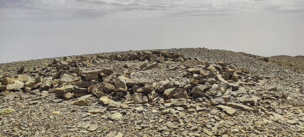
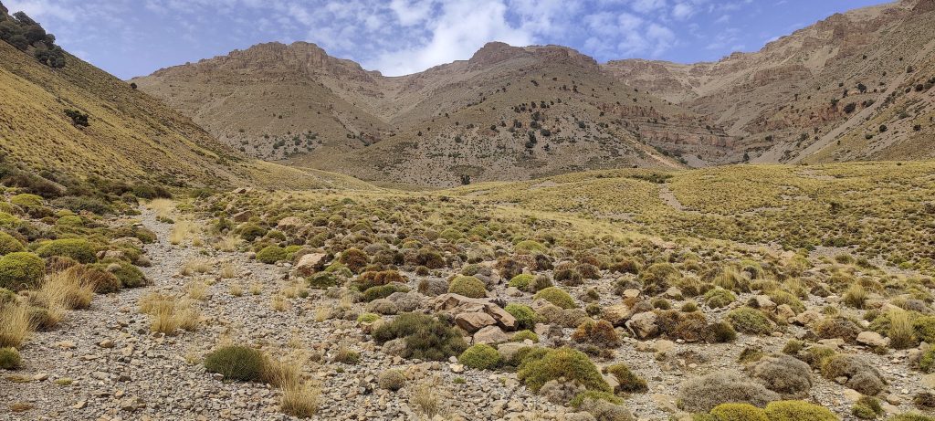
We move fast on a stony surface and soon reach the West peak. Rockinstraw and Said stopped here; I moved on, first towards the N, then to the S peak. My measurements with the phone show that the W peak is the highest, followed by N, and then by S. Of course, these are phone measurements, so they could be off. I believe I’ve seen every possible high point. 

Views around from the West summit
Rockinstraw (left) and me (right) It would be good to remember why we have such “big smiles” on our faces..
The North summit as seen from the W peak. I took a detour to the North summit on the way down
If I’m not mistaken, that’s what it looked like—the South summit. I also detoured to the South summit on the way down

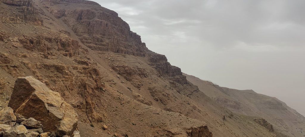
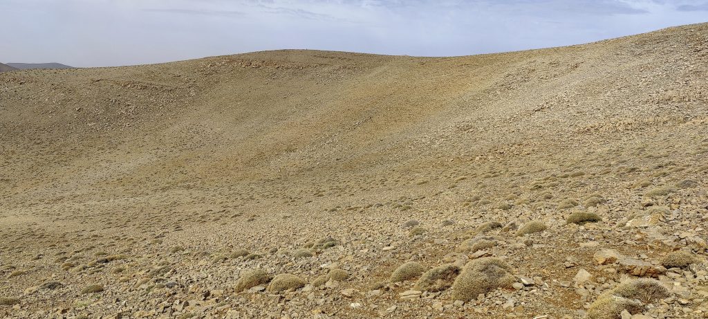
On the way down, we decide to follow the same path. However, initially we were planning to descend a longer, less steep gully in the West. I’m only guessing, but I believe both trails would be very similar. 

At the same gully, we descend, shortening the trail where it seems logical
There is little vegetation, and most of it has dried up
Steep slopes around
Lovely conifers growing on slopes 
The road we came from and at the end of which we left the car
Lower trail

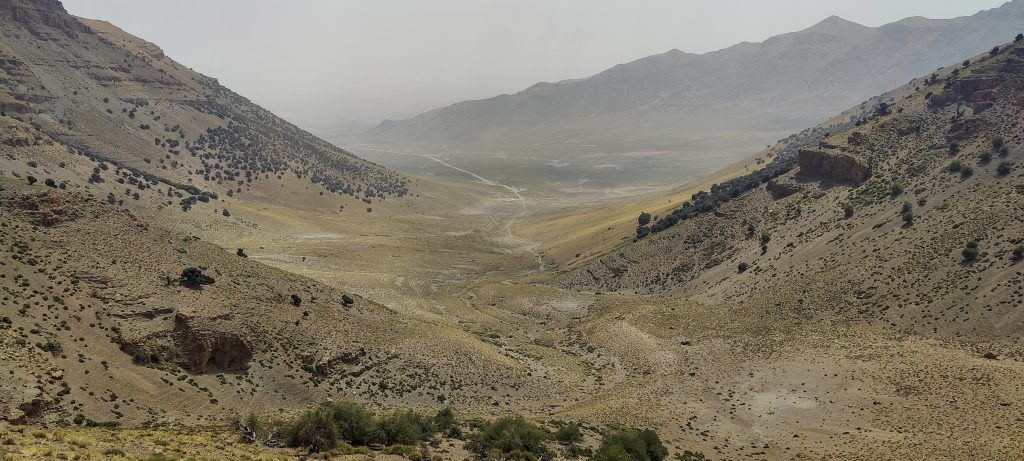
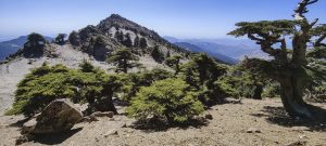
Another beautiful day in Morocco, and the fourth of five ultra-summits planned. Now a bit of driving to the North, towards the Mediterranean Sea, and we will try Jebel Tidirhine tomorrow or maybe the day after.

Giant Jerusalem Cricket ??. However, it is odd that it is black with red dots.

Adrar Bou Nasser 3340 m altitude
1642 m prominence
147.59 km isolation
Ranges Atlas Mountains - Northwestern Atlas
Countries/regions Morocco - Fez-Meknes
Distance 6.10 km up 7.10 km down
Elevation 1224 m gain 1224 m loss
Time
4h05 up
0h10 other
2h55 down
7h10 total
Trailhead 2115 m altitude 33.5241389, -3.8992500
Route

We began at the gigantic bowl-shaped plateau in the south. The former was a gradual trail in the river bed, while the latter was a steeper trail via gully to the top plateau. The trail is not always obvious, but thanks to the plastic water pipe, it is easy to follow. Once we reach the top plateau, it's a simple, flat walk through the stone fields to the summit. It's better to refer to all three or four summits because it is not clear which one is higher. We descended the same path.

Links GPX trail
  • Atlas Mountains 2022
  • « Irhil M'Goun
  • Jebel Tidirhine »

Mountain Ranges

Anatolia
Taurus Mountains
Western Anatolia
Andes
Puna de Atacama
Atlas Mountains
High Atlas
Northwestern Atlas
Central America Ranges
Costa Rica-Panama Ranges
Central Central America
Eastern Europe Ranges
Southeast Baltic Plains
Iberian Peninsula
Cordillera Cantabrica
Castile Ranges
Portugal-Galicia
Pyrenees
Malay Archipelago
Java
Nusa Tengarra
Sulawesi
Sumatra
Northwest Europe
Great Britain
North France-West Rhine Area
Southeast South America
Pampas
Sierras de Cordoba
West Africa Mountains
Bight of Benin
Cameroon Mountains

Countries / regions

Algeria
Ain Guezzam
Ain Salah
Aïn Témouchent
El Bayadh
Ghardaïa
Oran
Ouargla
Saïda
Sidi Bel Abbès
Tamanrasset
Argentina
Catamarca
Ciudad Autónoma de Buenos Aires
Córdoba
Jujuy
Salta
Tucumán
Belgium
Flemish Region
Brussels Capital Region
Cameroon
Southwest
Costa Rica
Alajuela
Cartago
Guanacaste
Heredia
Limón
San José
Czechia
Prague
Denmark
Greenland
France
Hauts-de-France
Germany
Berlin
Niedersachsen
Indonesia
Bali
Jambi
Jawa Tengah
Jawa Timur
Nusa Tenggara Barat
Sulawesi Tengah
Sulawesi Utara
Sumatera Barat
Lithuania
Vilnius County
Morocco
Béni Mellal-Khénifra
Drâa-Tafilalet
Fez-Meknes
Marrakesh-Safi
Souss-Massa
Tangier-Tetouan-Al Hoceima
Netherlands
Gelderland
Noord-Holland
Nicaragua
Chinandega
Managua
Masaya
Rivas
Poland
Greater Poland Voivodeship
Masovian Voivodeship
Portugal
Castelo Branco
Leiria
Lisbon
Santarém
São Tomé and Príncipe
São Tomé Province
Spain
Aragón
Asturias
Castilla-La Mancha
Castilla y León
Switzerland
Zürich
Turkey
Antalya
Isparta
Muğla
United Kingdom
England
Scotland
United States
Delaware
Florida
Georgia
Maryland
New Jersey
New York
North Carolina
South Carolina
Pennsylvania
Virginia

TRIPS

2023
West Africa 2023 II
Iberian Peninsula 2023
West Africa 2023
Central America 2023
2022
Andes 2022
Northwest Europe 2022
Malay Archipelago III 2022
Malay Archipelago II 2022
Anatolia Mountains 2022
Iberian Peninsula 2022
Atlas Mountains 2022

archaeology (3) climb (69) food (2) hike (68) p30 (3) p100 (9) p300 (8) p600 (13) p1000 (5) p1500 (34) ribu (4) sight (34) summary (11) ultra (34)

839 km walked, 65 247 m climbed

©2023 p600.org | WordPress Theme by Superbthemes.com